A square walk on a square hill - Ingleborough
14th February 2009.
Map: Landranger 98
Weather: Overcast all day
From the road near the Ribblehead Viaduct, walk
Copyright OS-Click on map to enlarge, then hit the back button to return to blog
The day started out dull and remained dull throughout – good job the walk was anything but dull. This was the second week where I had back to back walks in the snow, but I didn’t feel too bad today, just a little slow for most of the way up the steeper bits. I had my new GPS handy today, although I didn’t really need it as we could see most of the route wherever we happened to be on it. Stuart had picked Ingleborough for another good stomp. Thankfully there has been a thaw this last week, but it was still cold enough up here for the icy ground to be treacherous in places. It wasn’t a very inauspicious start for my use of the Satmap Active 10 as I had the wrong map card in it today so I only got the GPS map. I also didn’t set the time properly, or calibrate the compass – but I will master it before I need it in anger I suppose. Stuart promised that there would be a Tea Van – called the
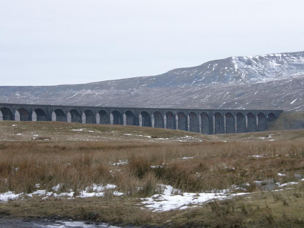
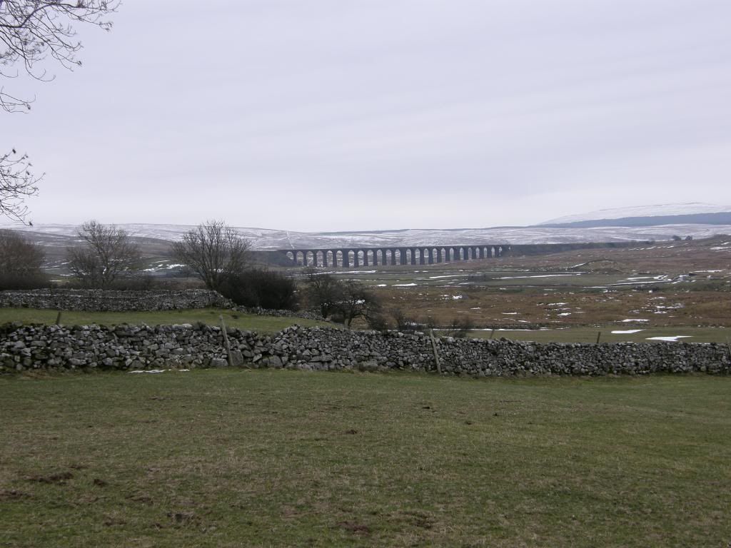
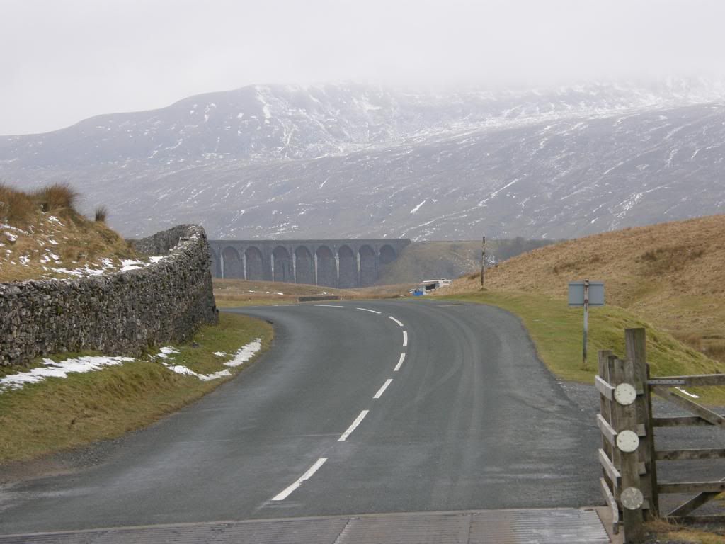
Ribblehead viaduct
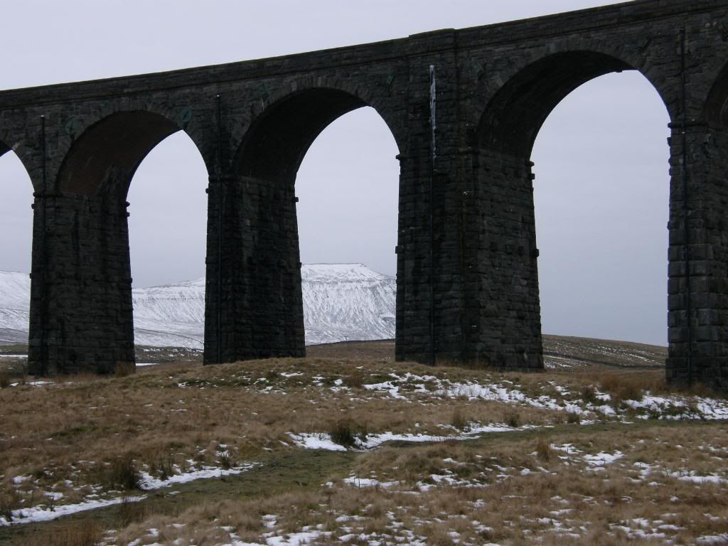
Ingleborough through the arches
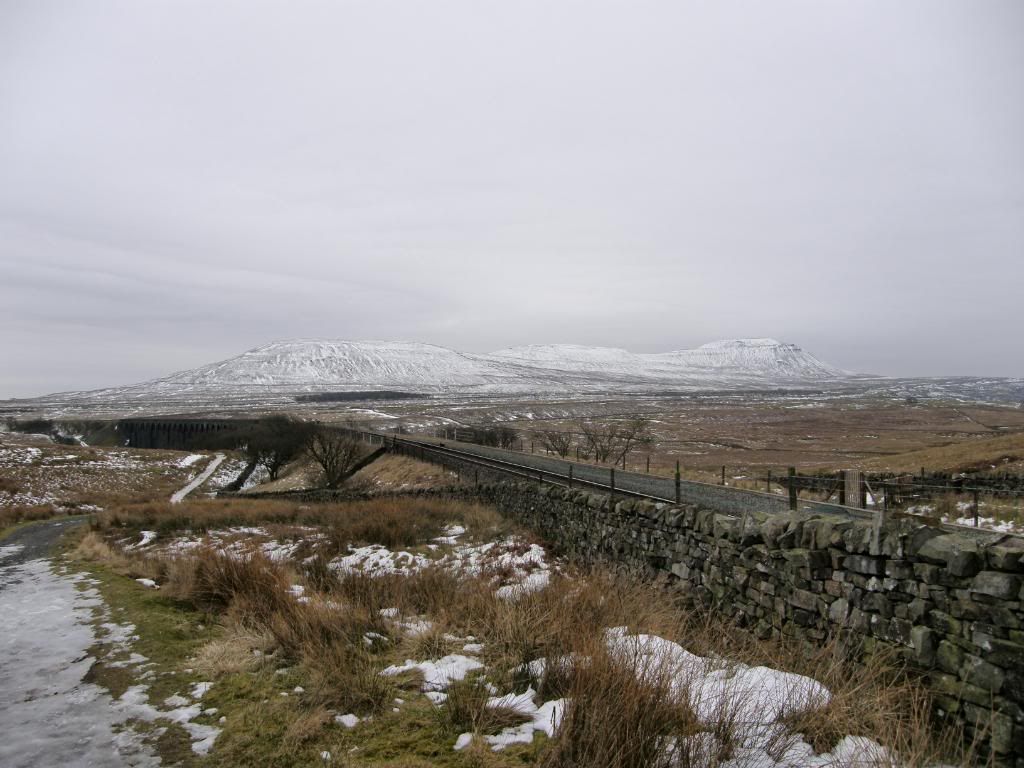
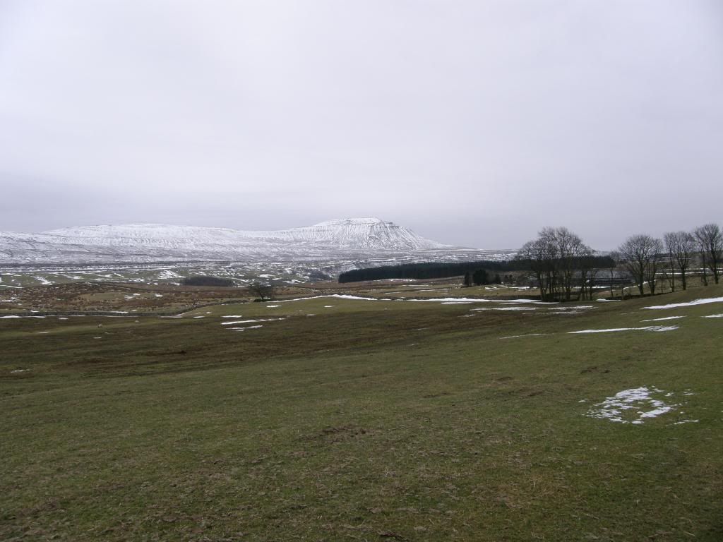
Our destination in the distance
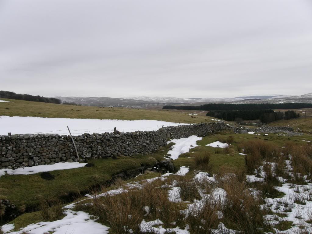
We set off at a gentle pace admiring the Ribblehead Viaduct, another great monument to Victorian engineering and the route of the Settle to
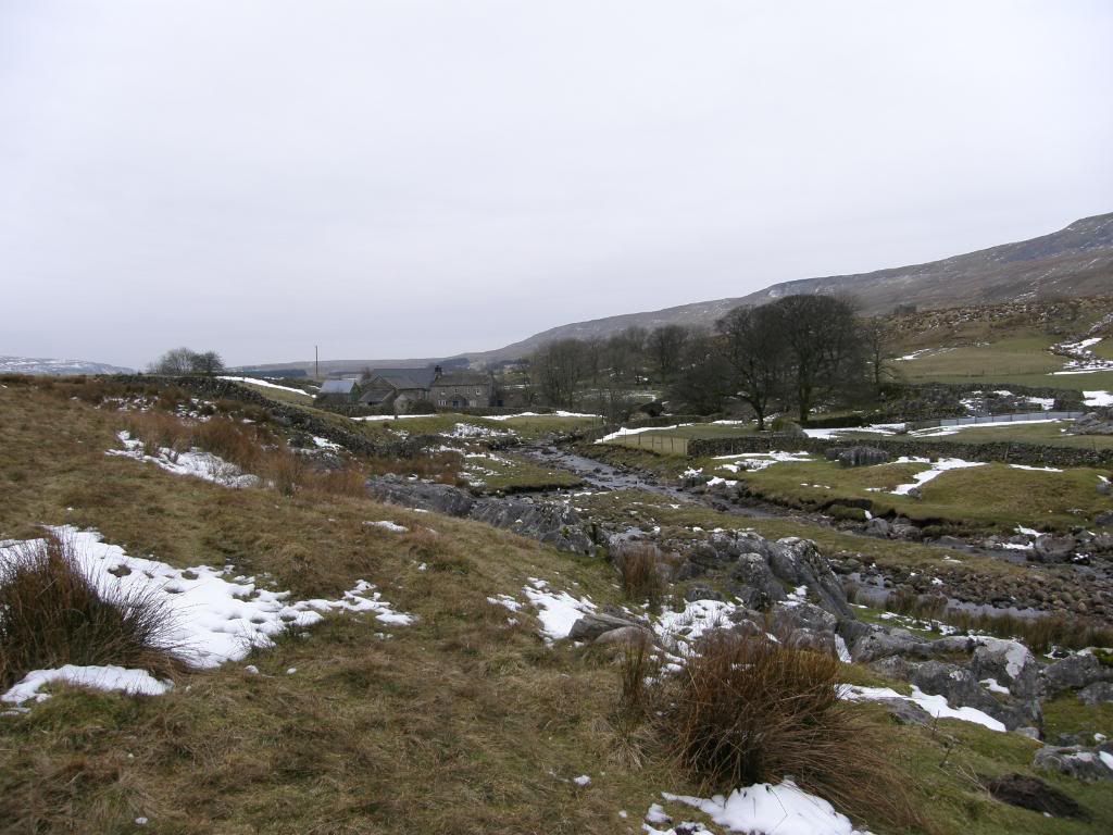
A typical Dales farm setting
Looking back to the viaduct
And looking forward to Ingleborough
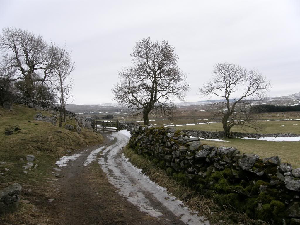
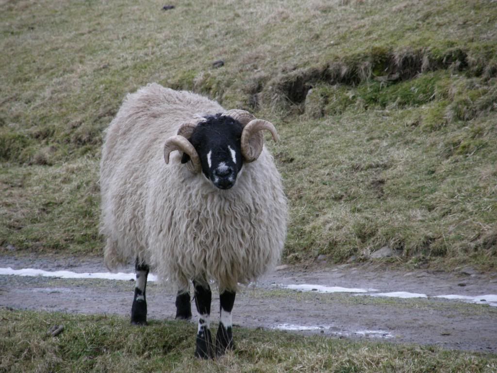
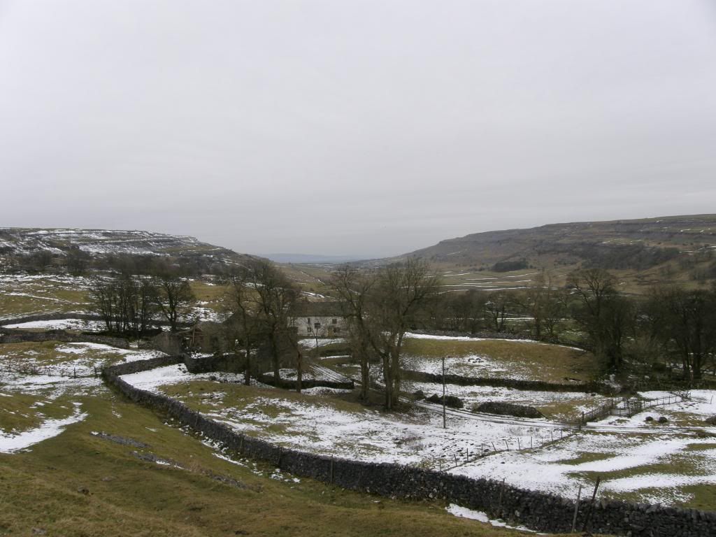
Our route took us along beneath Whernside at the base of the escarpment and along an old farm track that must have been in use for a long, long time. It looked a bit like James Herriot countryside – probably because it is. The limestone used in the buildings gives the landscape a very distinct feel, and I almost exclusively associate it with rural farming. The farmsteads along here are nestled into the hillside backing onto an outcrop of limestone, and we passed an old hall that is being slowly renovated, followed in short succession by a couple of doleful looking donkeys in a garage space – one of which could only be bothered peeping over his partition; a garden full of Yorkshire terrier pups doing their best to try and terrorise us; and an alley of used tyres. A bit bizarre why they couldn’t store these in a better place, or maybe they are bad drivers and need some extra protection while navigating these lanes? We continued along as far as Ellerbeck before turning towards our destination for today – meeting a sheep that is the symbol of the Yorkshire Dales – you know the one with the horns.
The now distant viaduct through the trees
Curly
About halfway around the route now
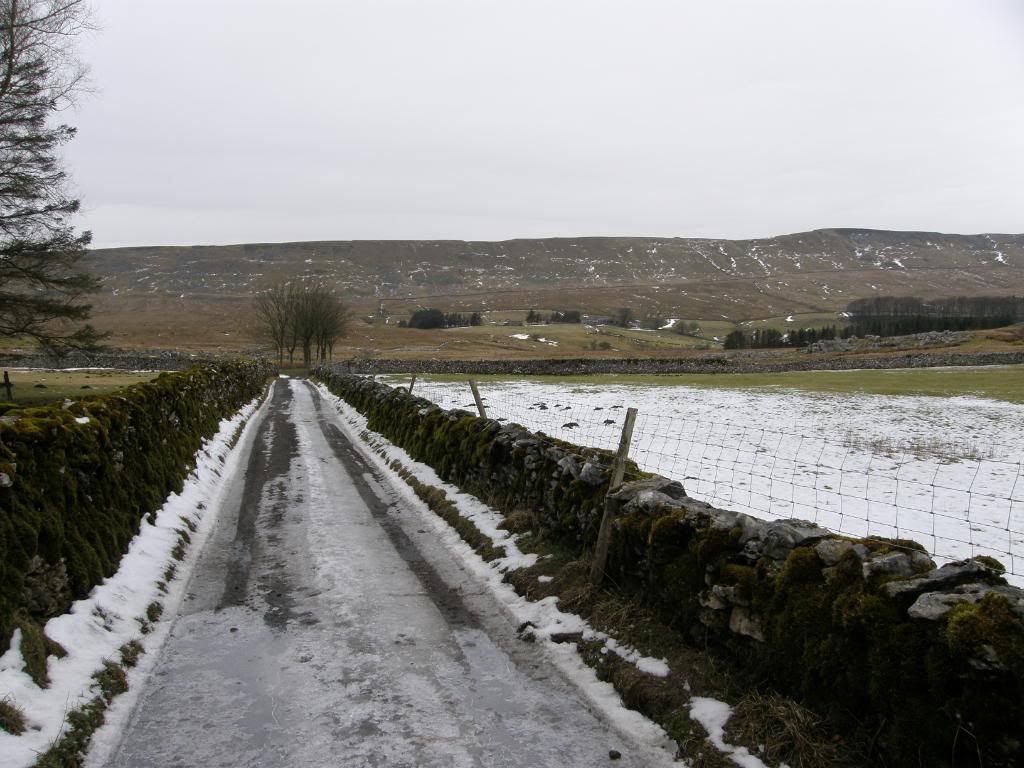
The icy lane down to Clayton-le-Dale
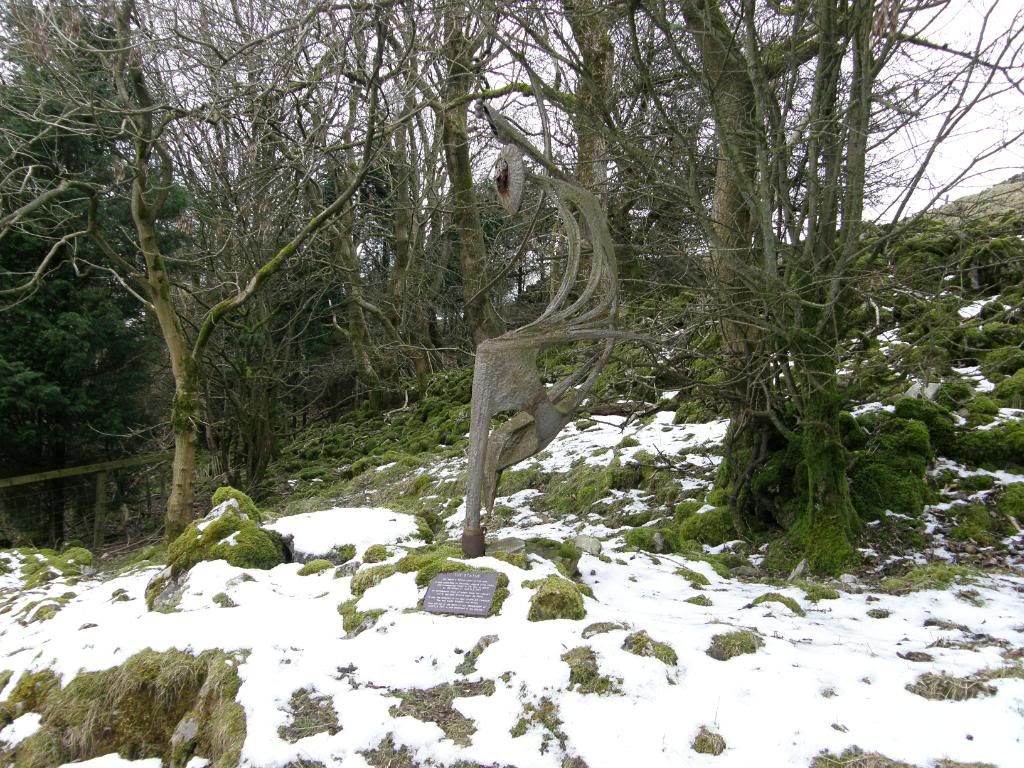
The sculpture – shivering in the cold
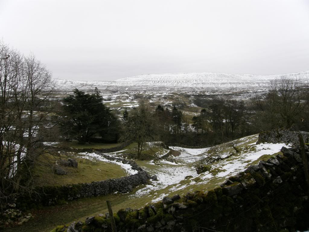
Nearly down to the hamlet
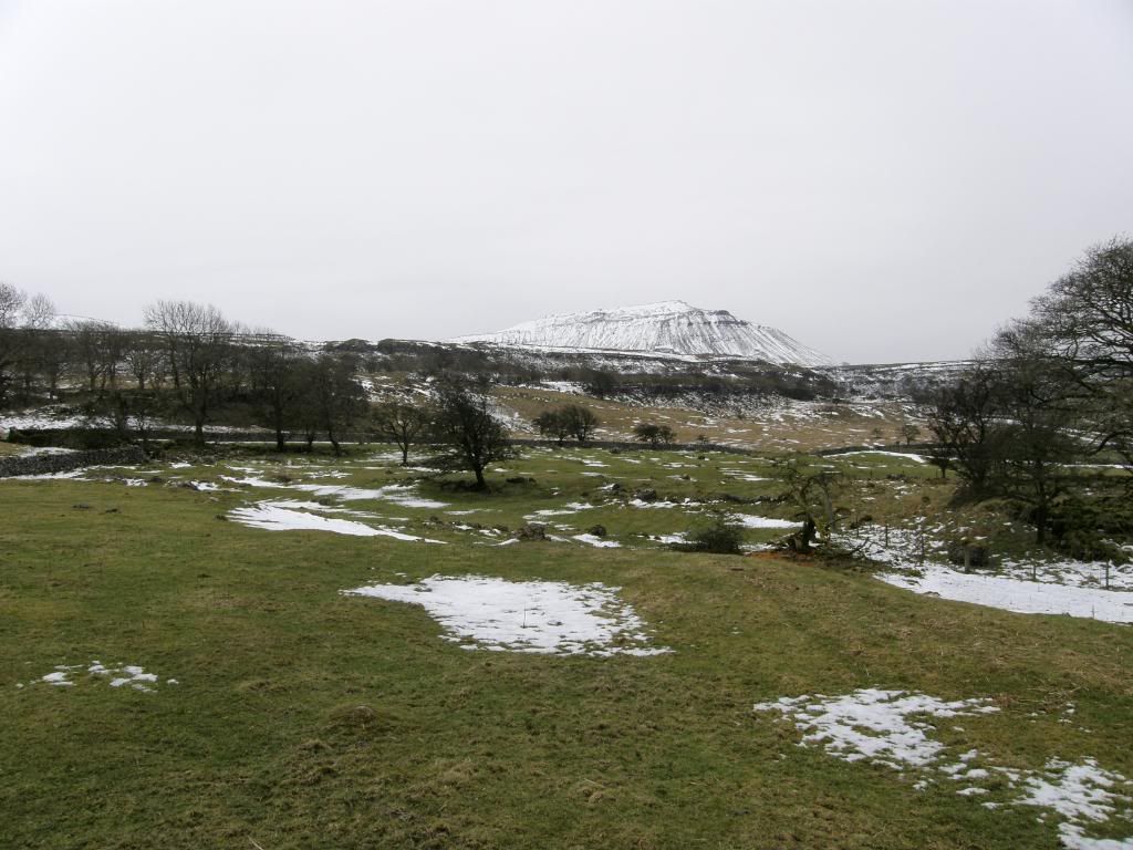
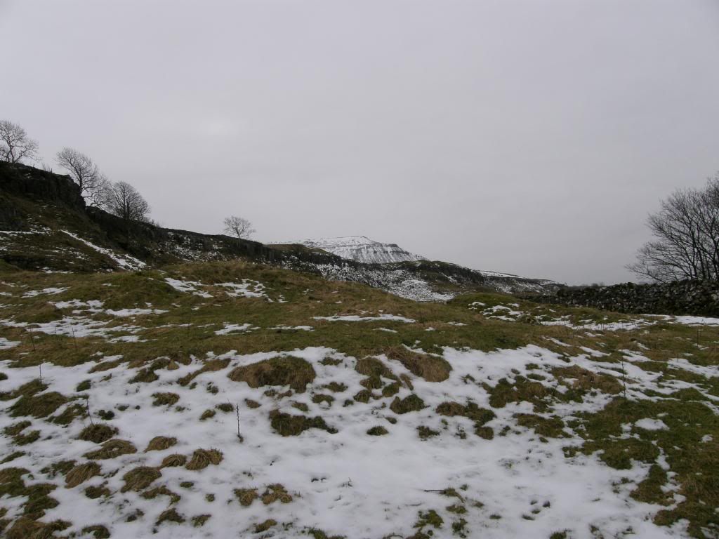
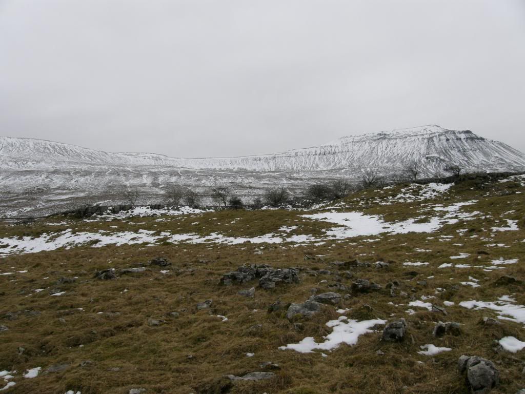
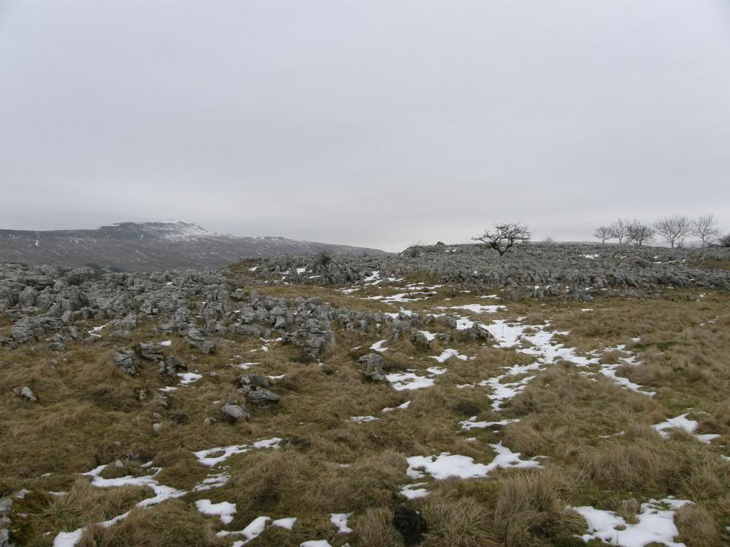
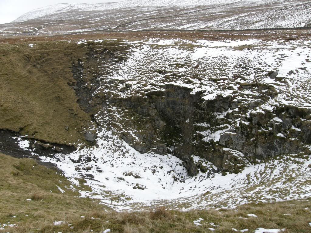
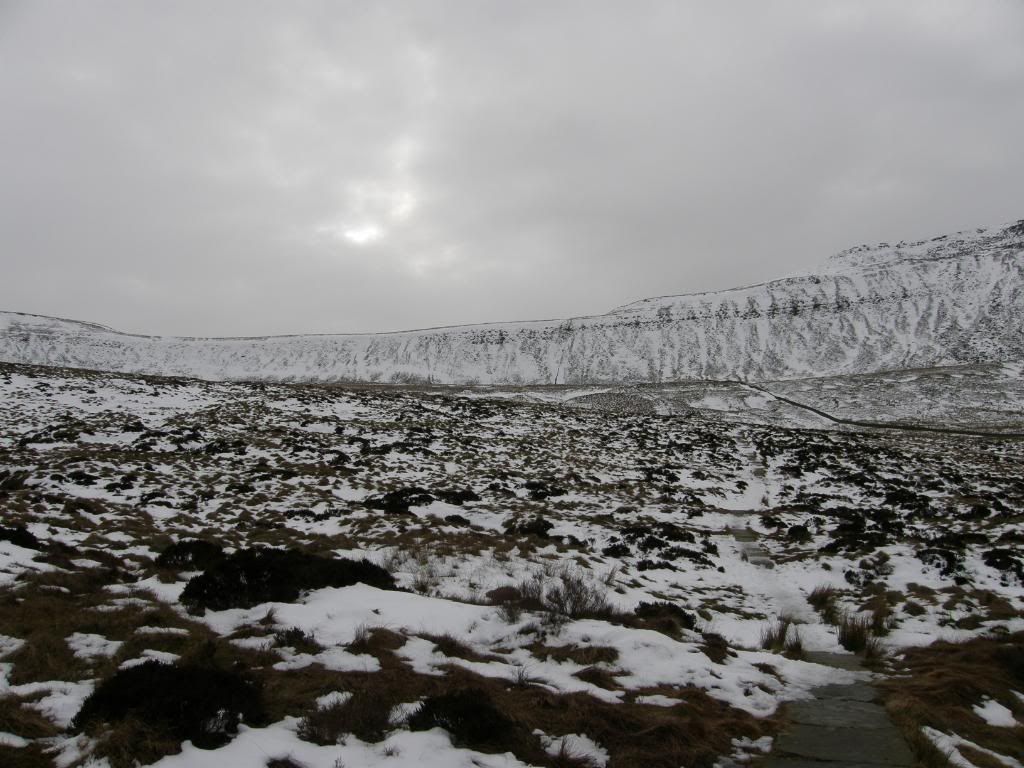
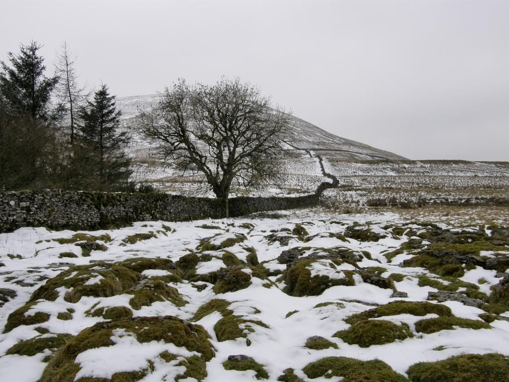
The road led us down a gentle slope towards Clayton-le-Dale, and then a little steeper as we came into the sleepy hamlet. We passed by a sculpture that had been rescued from the bottom of Hurtle Pot – vandalised in the eighties. But it now looks well settled into its new spot by the road, although I wonder how many get to see it. Passing by the local church we made our way across the main road and now it was all uphill towards Ingleborough, that was looking white as only Ingleborough can. The fields were generally free of snow at the bottom of the valley, which was good news for me as I was feeling a little jaded after yesterday’s exertions down in Wales. The ascent was steady up towards Souther Scales Scar and the limestone pavement beyond. The pavements here are not as well developed as elsewhere probably due to the nature of the limestone, but are still fascinating to look at on a summer’s day – you can see a lot of unique plants that thrive in this strange habitat of clints and grykes. But we didn’t really pay attention to that today and they would have been full of snow anyway. Once we had passed Braithwaite Wife Hole – nobody was in there – the route took us across some very boggy land that fortunately for us was still firm from the winter weather. After climbing up a style the path ahead was paved up the hillside and mostly covered with ice and snow as we reached higher ground. Progress was slow up the slopes as care had to be taken not to go backside over chest as the saying doesn’t go.
Gentle slopes up to Souther Scales
Ingleborough peaking above the scar
The hot air balloon was in this shot somewhere
Looking back across the valley to Whernside
It’s only Ingleborough
The limestone pavement
Braithwaite Wife Hole
The boardwalk across the bog
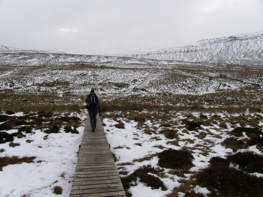
There is a short section of boardwalk across the worst boggy parts of the nature reserve, home to some web footed species by the looks of things. As we were crossing the moss we could see a dark shape in the distance gently floating away – a grey hot air balloon almost the same colour of the sky. The cloud base was high today so they must have had decent views all around the
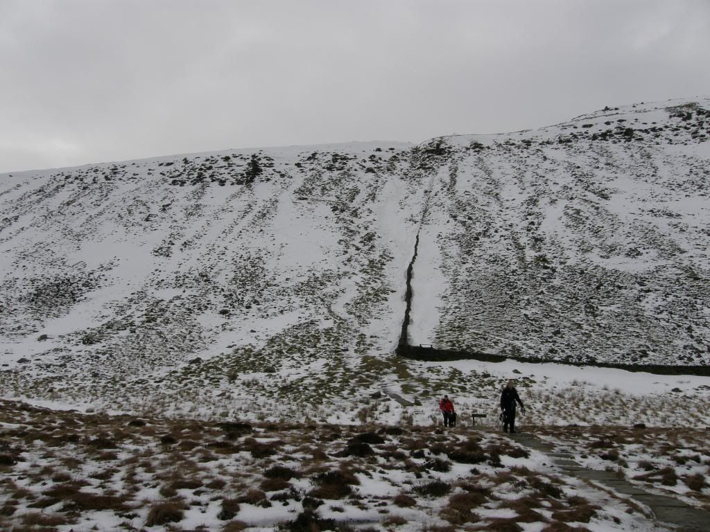
The steep scarp slope ahead
The zigzag path and the snow patch to the right
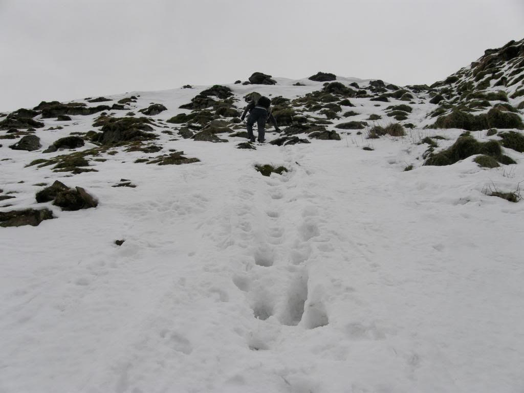
Up the slope and plenty of footholds available
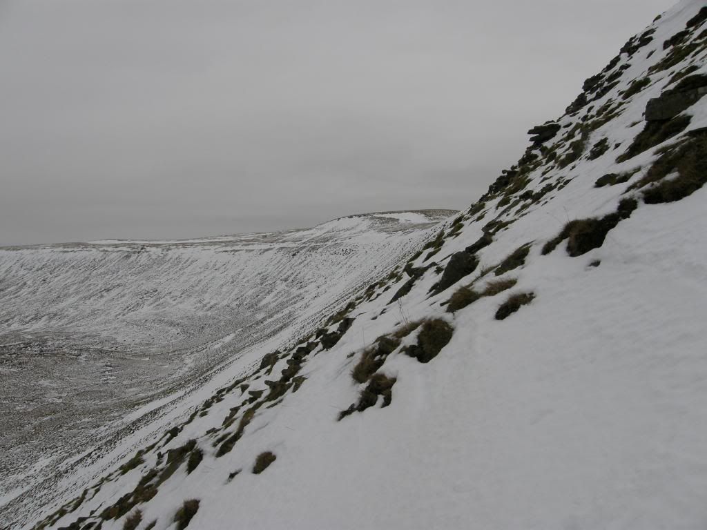
This gives some idea of the steepness of the slope
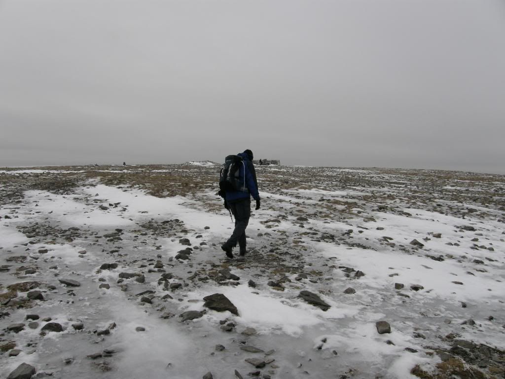
Once we made the top it was time to put an extra layer on and head up towards the flat topped summit. We were warned that the top was extra slippery and also the approach was icy, so we stayed to the left side of the path, and rock hopped up the steep final approach. Stuart said we didn’t have to do it, but he was joking really – I think. Once we were up on top, the temperature dipped a little as we were open to the elements and it was a veritable ice rink to walk on. I couldn’t really see many of the hut circles remains due to the ice and snow, and didn’t really look for them as it was time for a spot of warming soup at the cross shelter. The Iron Age hillfort on the top of Ingleborough is one of the highest in
Stuart skids his way across the summit
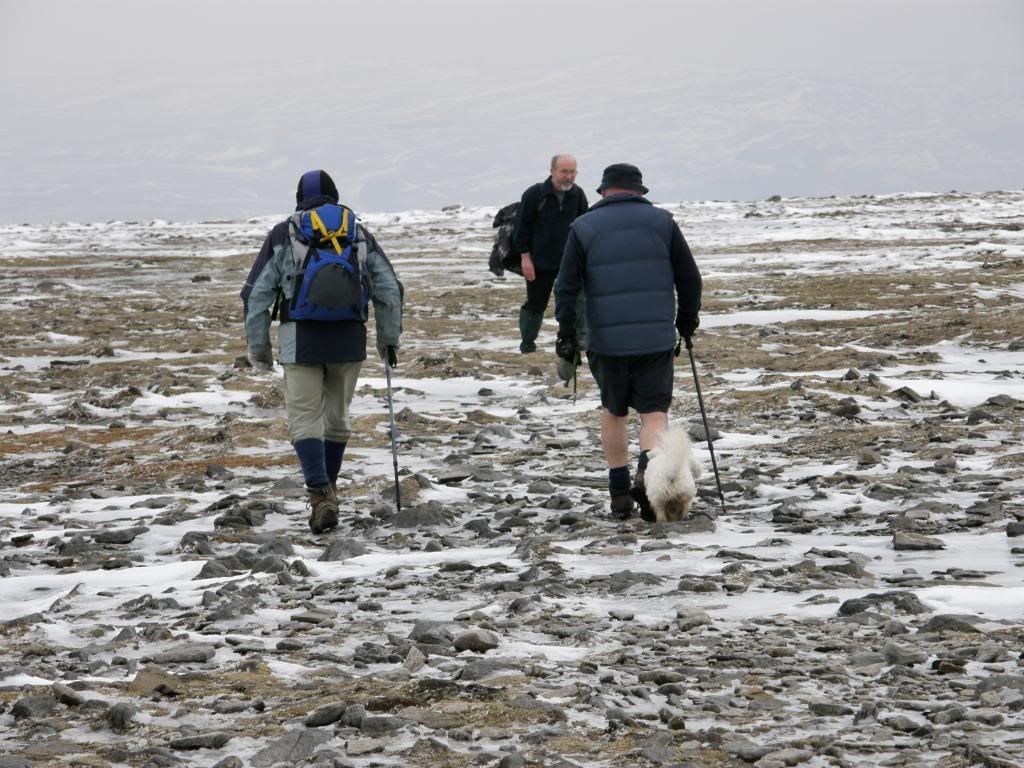
The dog’s bottom
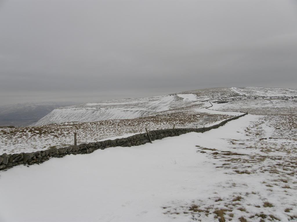
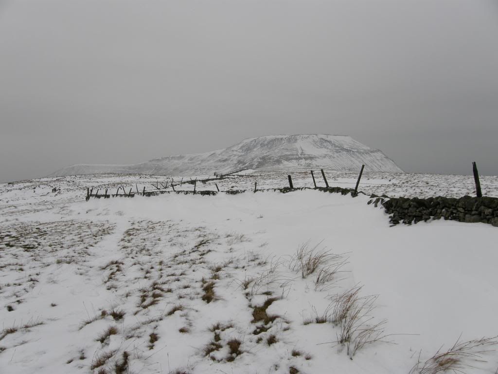
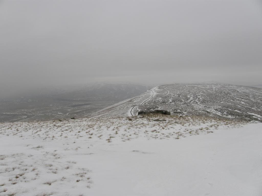
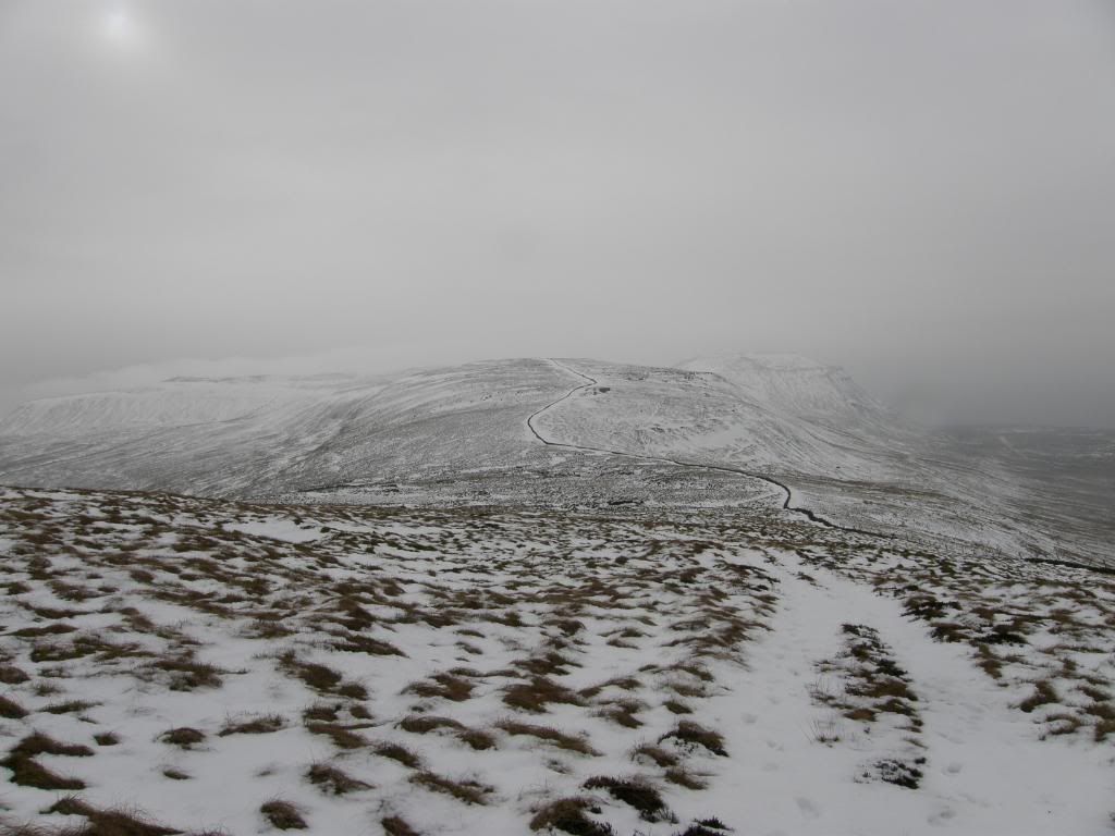
We headed off back down the path we had come up with the crampon man looking very smug as he crunched down the icy path, and as we reached the col above the zigzag path we had a choice of staying left or right of the wall up to Simons Fell. Crampon man went left so we went right, gently sinking into a lovely crisp snowy crust, which was hard enough to take our weight sometimes, then soft enough to disappear up to the knee in places. We had to cross over the walls from time to time and although there weren’t any styles, it wasn’t a problem as the snow had drifted up to the wall tops on either side. So we just had to stride up and hop over, hoping that the crust wouldn’t let us down. Behind us the weather was closing in on the summit of Ingleborough, as we made the summit of Simon Fell, which wasn’t marked with a cairn, just our footprints.
We stayed to the right side of the walls
Looking back to a now murky Ingleborough
On top of Simon Fell looking over to Park Fell
We could hardly see Ingleborough now
Park Fell summit ahead
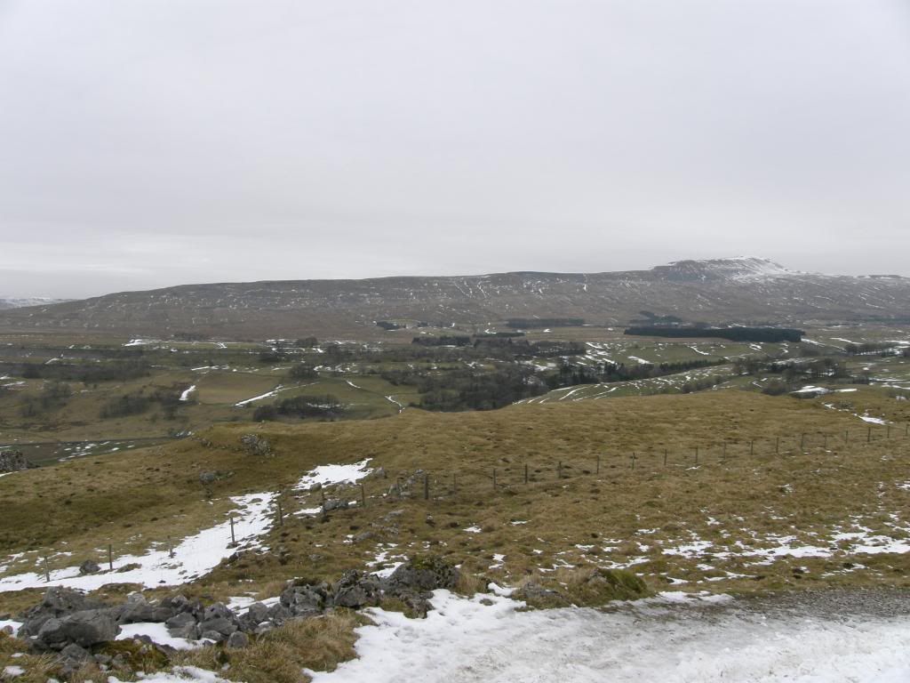
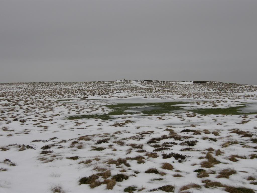
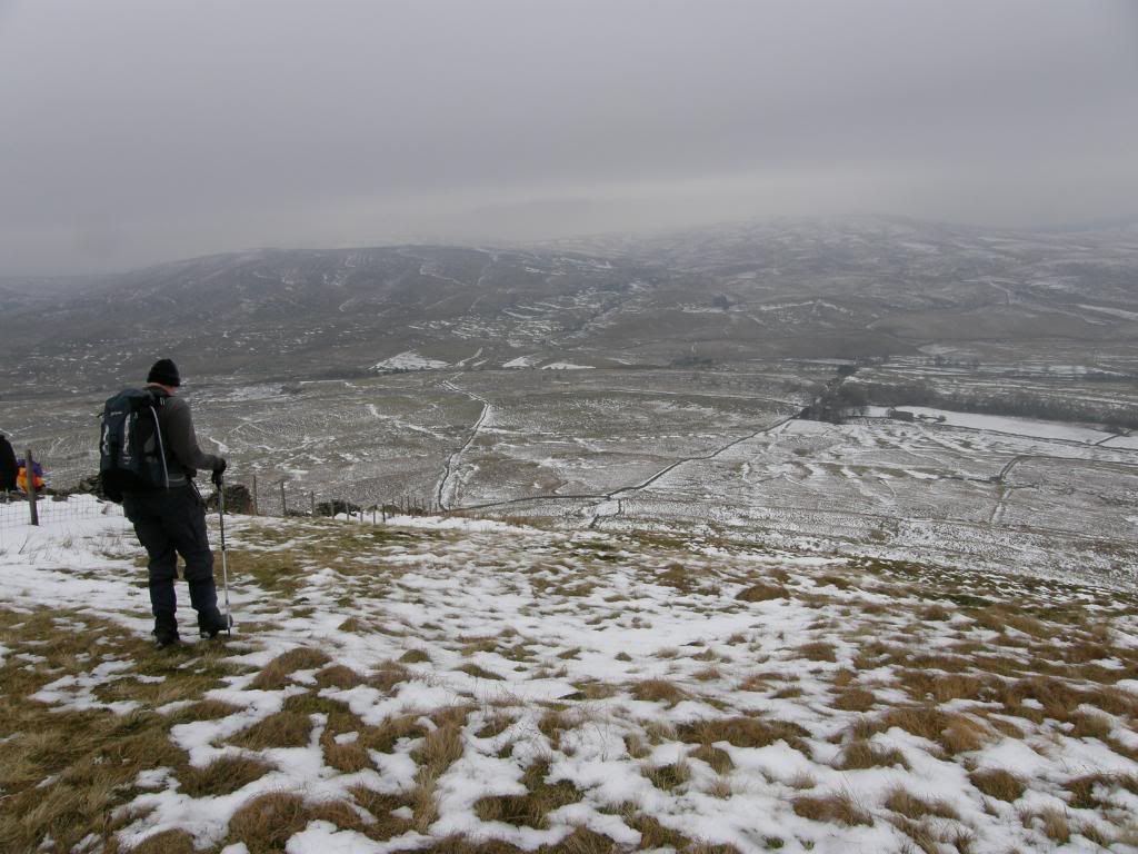
Our route was easy to follow as it just stayed alongside the wall all the way across to Park Fell. The snow had drifted into deep pockets which surprised us now and again, and also didn’t allow us to stride out fully, as doing the splits on an icy surface would have strained a few muscles. We could pick up the path that climbed up Park Fell long before we got to it, and simply followed the snow all the way up to the trig point. It was fairly gloomy now, but it looked like we would beat the weather back to the car, and as we navigated down the slope off Park Fell Stuart decided to provide some entertainment. I heard a bit of an anxious cry, followed by 6ft4in of fell walker hurtling down the slope, legs in air and he certainly reached the bottom of the slope a lot quicker than I did - that’s competitive walking for you.
Stuart about to launch an assault on the slopes of Park Fell
Looking back up to Park Fell
The finish line in sight
Shortly after this I saw three black grouse flying off into the distance – I’m sure they were laughing. We followed a straight path down to a farm, passing some mossy limestone pavement and then turning along the


You have caught the winter atmosphere well here. I feel a bit second class after comparing the weather and scenery here to what I had recently.
ReplyDelete