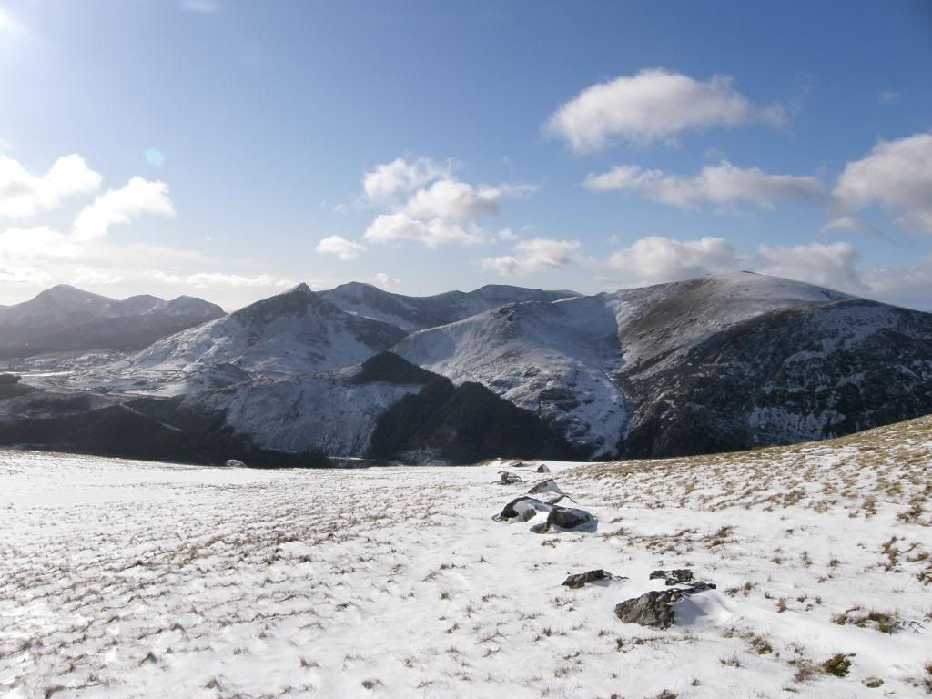
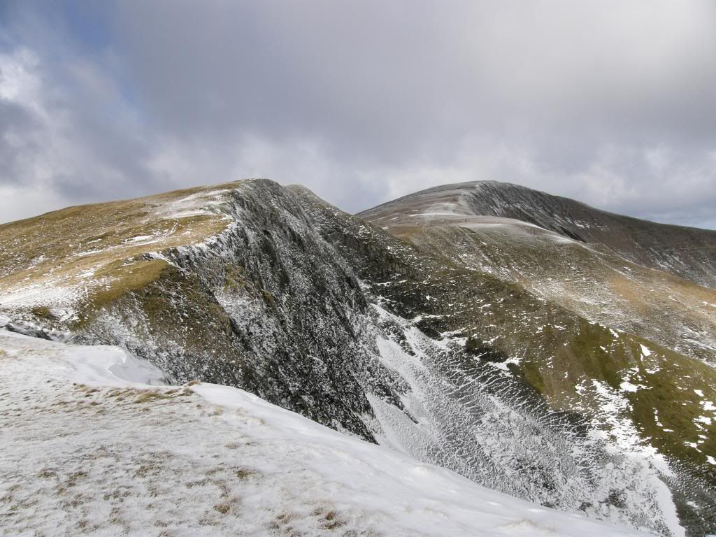
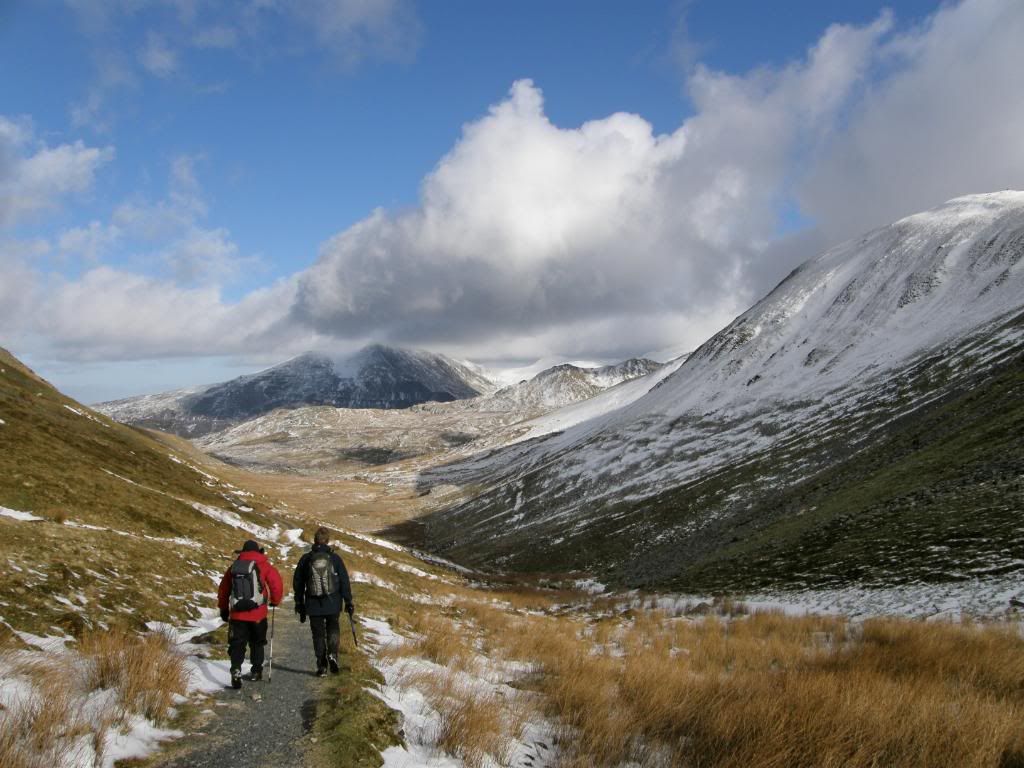
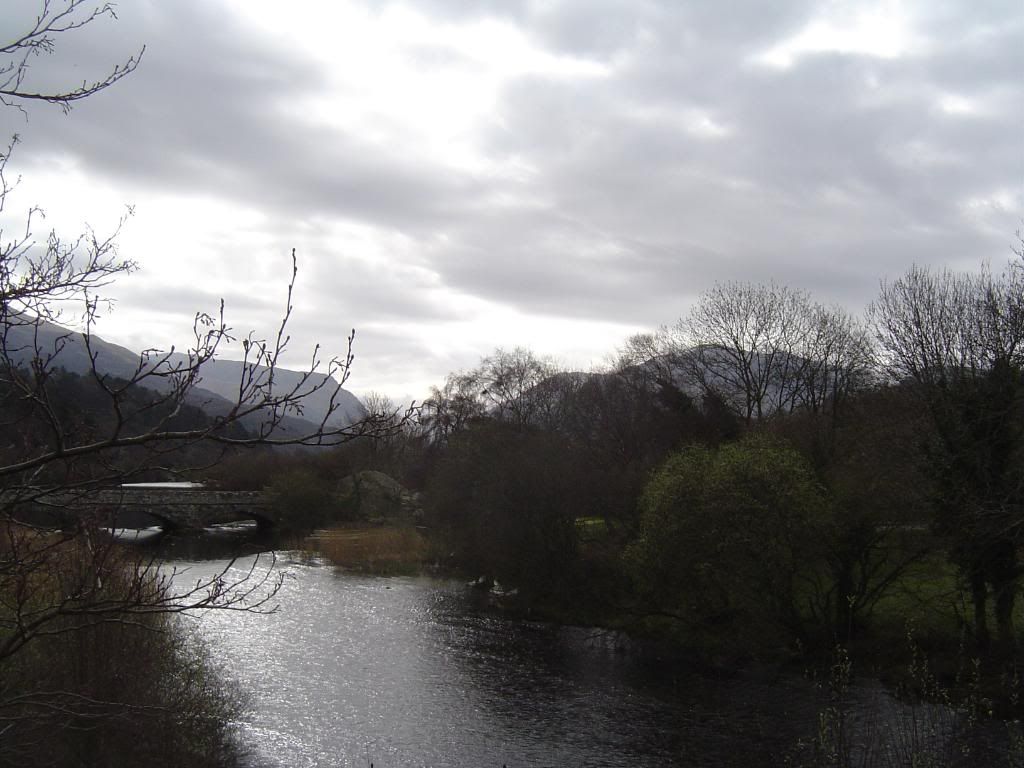
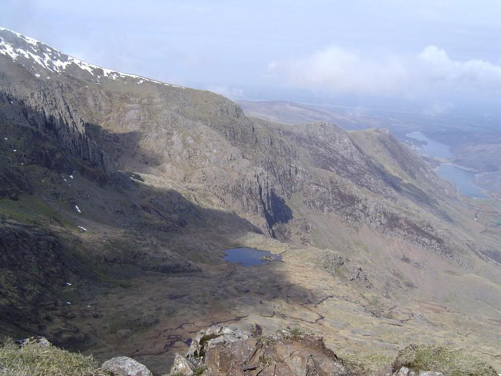
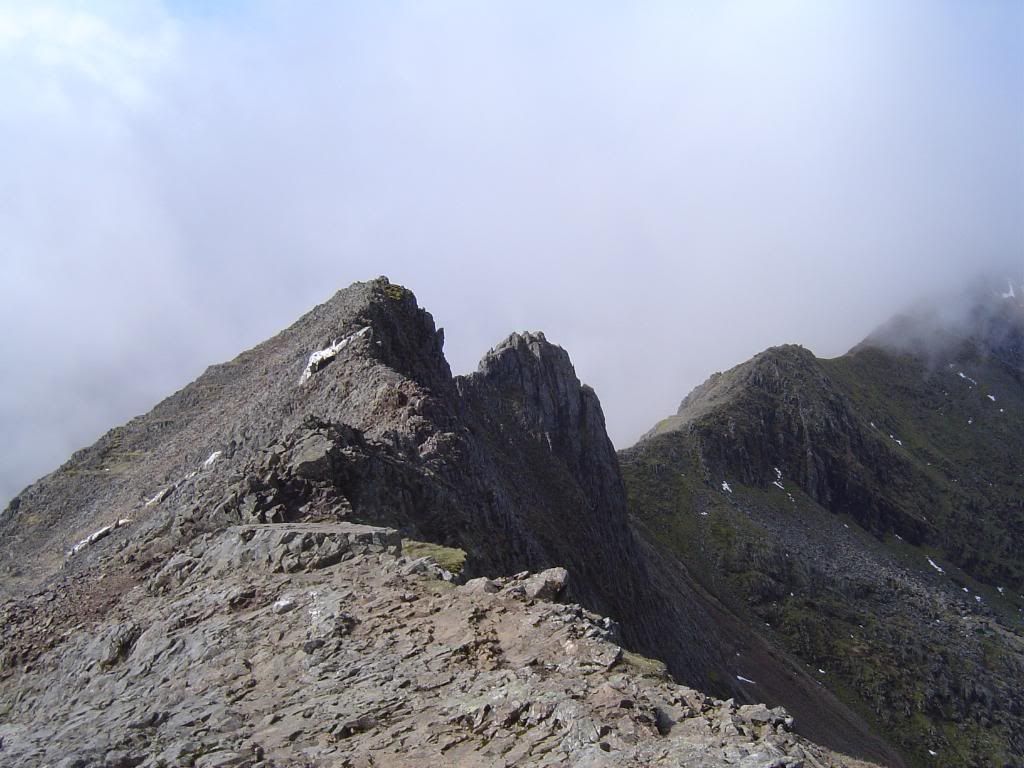
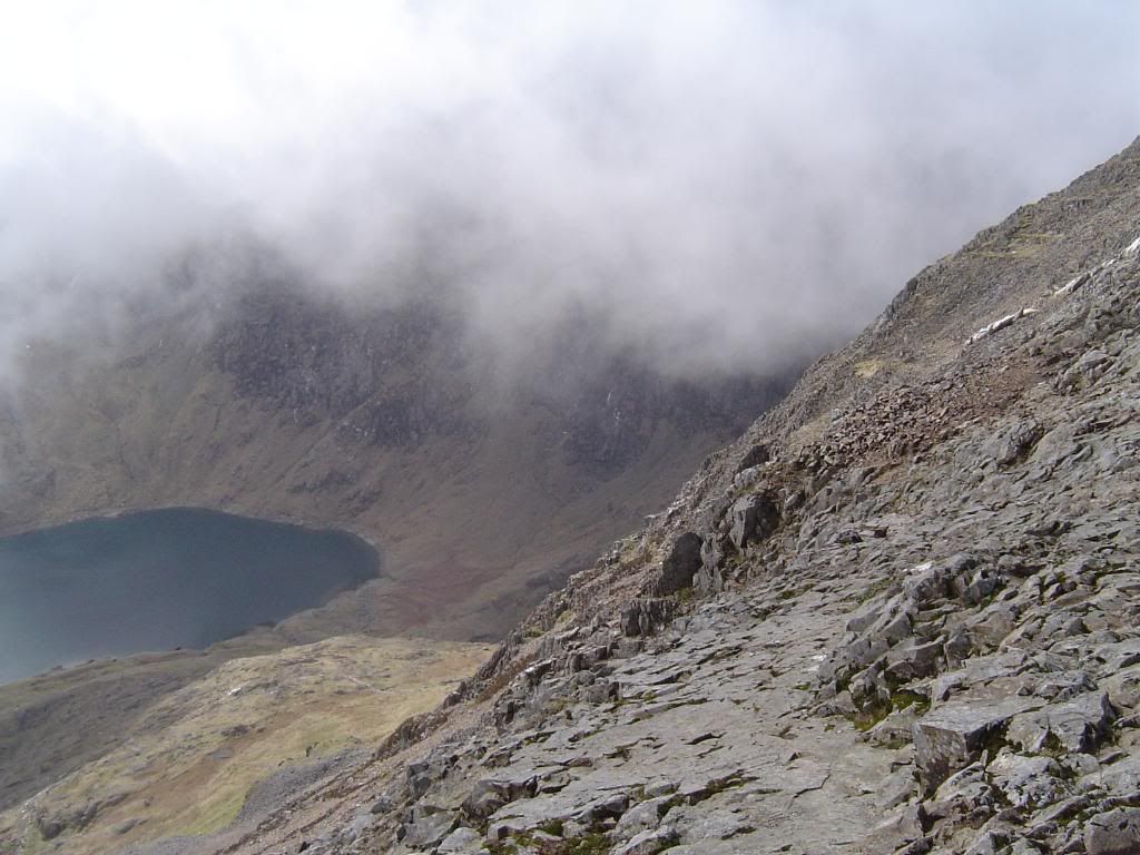
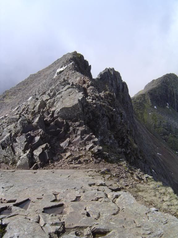
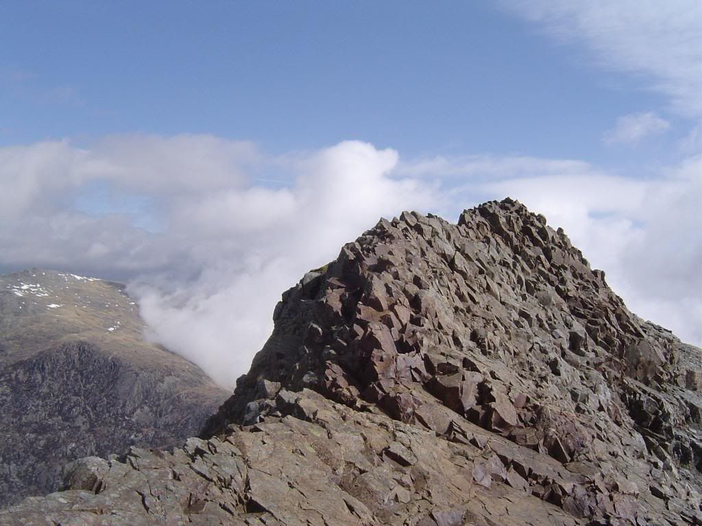
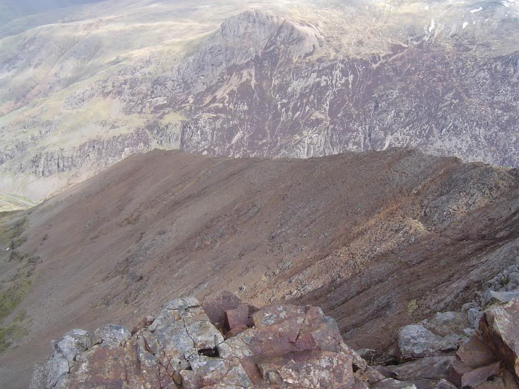
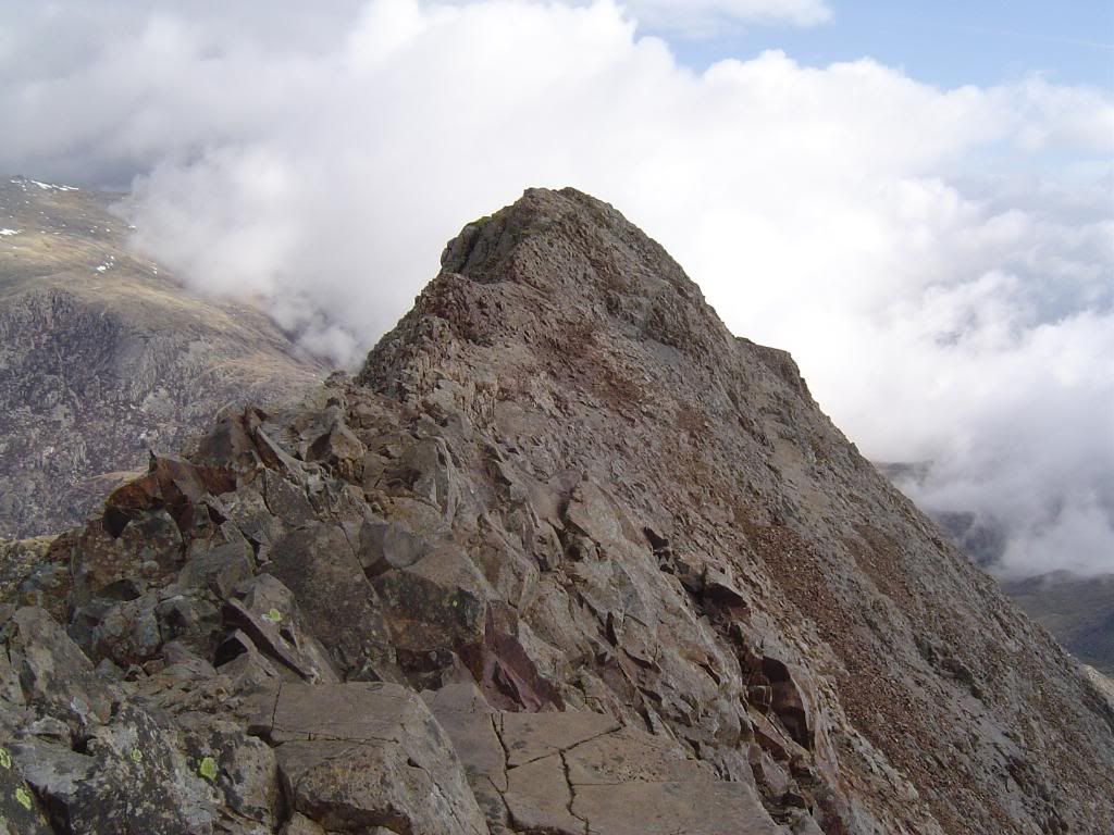
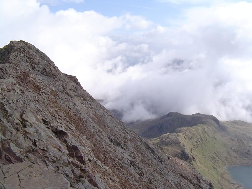
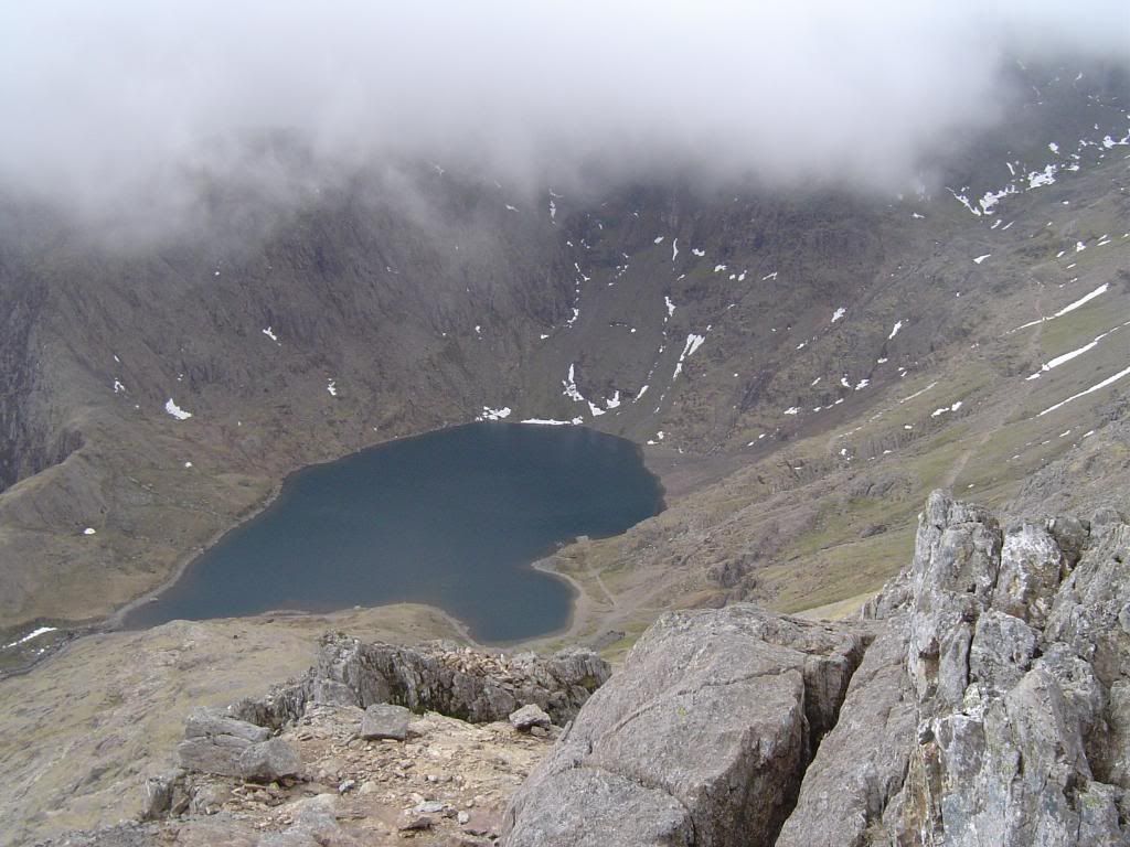
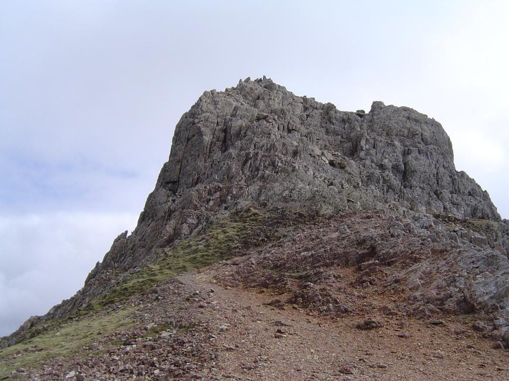
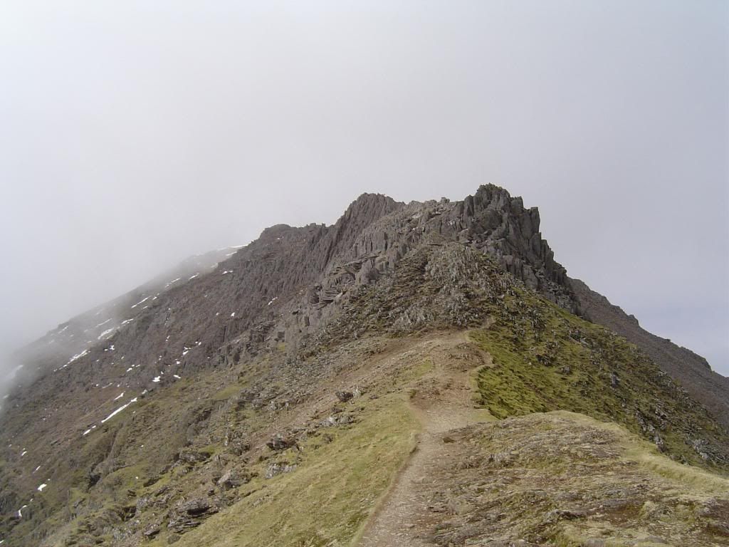
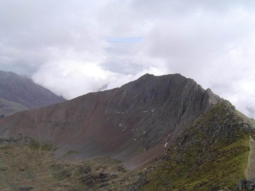
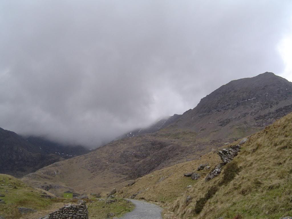
Welcome to my day walks

The dates listing these walks are the dates I uploaded the stories. They are in no particular order, and it doesn't matter because you were directed here from elsewhere!! I hope you enjoy the journey..


Moel Eilio Snowdonia


Moel Eilio in the shadow of Snowdon

6th February 2009.

Map: Landranger 115

Weather: Mainly dry and sunny, with cold winds and a snow flurry to finish the day

From Llanberis through the town to gain the Braich y Foel ridge up to Moel Eilio. Then dropping down to Foel Gre and Foel Goch. At Bwlch Maesgwm turn down the valley to return to Llanberis: 7.2 miles as measured with a Silva pedometer (I lost it the next day!) and 7.1 miles on a Satmap


Copyright OS-Click on map to enlarge, then hit the back button to return to blog


As usual I checked with Metcheck to see the conditions for the day and specifically for Moel Eilio it forecast a clear summit. This walk was in the shadow of Snowdon and is one of those overlooked hills that is a delight to be on. The views attained from the summit are superb – but more of that later on. There is another Moel Eilio a little further east form here, the same as there are more than one Y Garn – I wonder if the MRT ever get problems with which one to go to. I set off at 06:00 to meet up at 08:30 in Llanberis. Normally this would take me about 1 ¾ hours, but with the low temperatures we have been having and the ice warnings, I gave myself some leeway. There were ice warnings as I drove along the A55 but these were mainly for the outside lane which had some small patches of snow that had thawed out, dribbled out onto the carriageway and frozen over again. Along the road from Bangor I stopped to take a picture and the sheep were bleating loudly – I’m not surprised as it was baa-ldy cold. The photo turned out icy blue, but in actual fact it wasn’t that bad at 2deg, just looked that way.
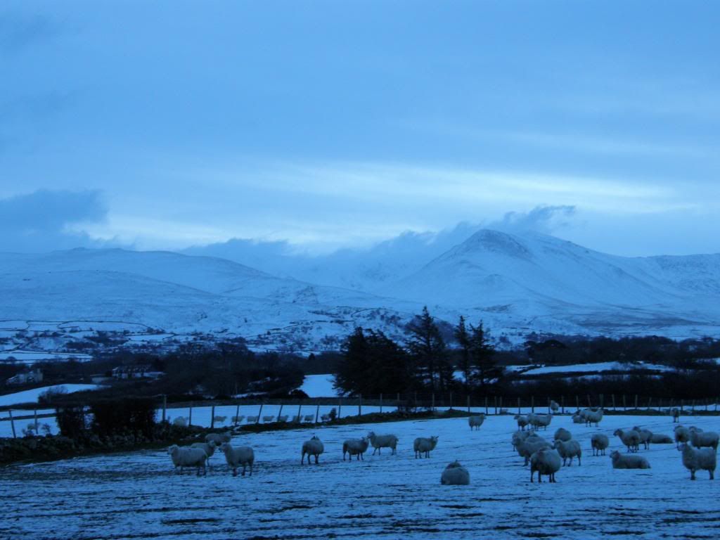
Photobucket
Brrrrrrrrr

Photobucket
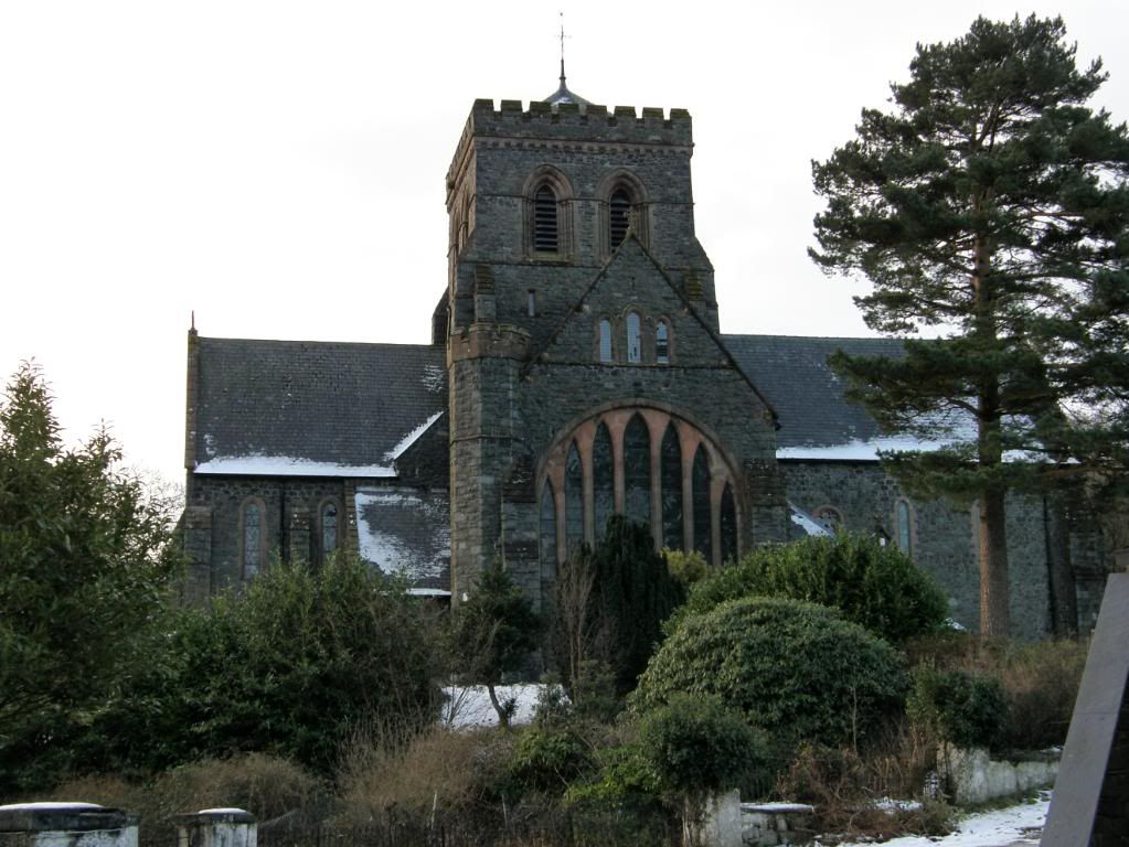
The church in Llanberis village

Photobucket

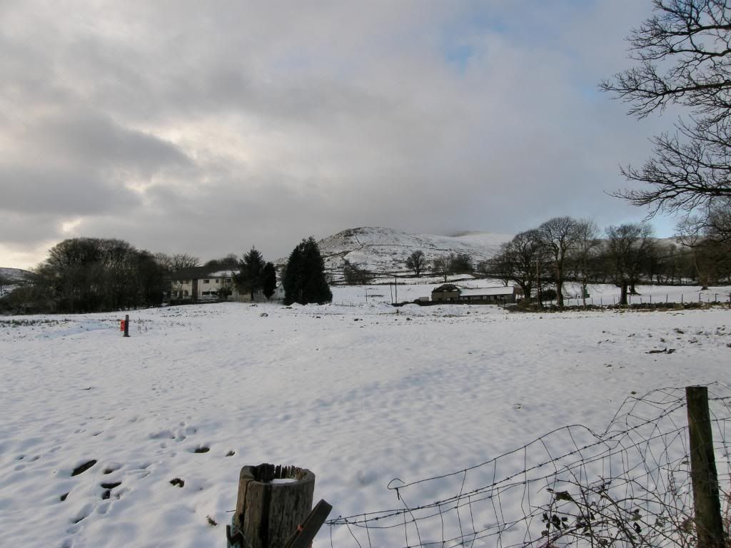
Snowy fields at the start of the walk

We were very wary of being too ambitious today in light of the recent fatalities in the cold snap – 2 in the Lake District, 3 in Scotland, and 3 on Snowdon. There was one very lucky gent who used a lighter to attract the attention of the rescue helicopter and cheat death out of another victim. It must have been a very harrowing experience for him, and 3 cheers to the rescue services again. The route today was chosen by Robbo, who assured us that it was all walking on rounded hills and safe, even if it was snowy. I arrived at the electric car park in Llanberis at 08:00 with no one else around. Then 2 more cars turned up with a couple of shady looking characters. But it was too early in the day and far too cold for this to be a dogging car park, so I assumed they were my walking partners. It was £4 for all day parking, and it is situated on the SE side of Llanberis. Looking around from the car park I could see that all the higher fells were heavily laden with snow and they would have required all the heavy gear – ice axe and crampons, with plenty of layers to keep out the cold. I had some new gear this week – Icebreaker Merino wool layers which were lovely and warm, and some Gore-Tex mitts with fingers inside. These look like boxing gloves but were much better for taking on and off for my camera. I wore 4 good layers today and gators to keep the snow out of my boots, and these kept me dry all day, apart from the sweaty inside of my jacket, which was on/off at various stages of the climb up to Moel Eilio. Once we were all togged up we set off through the town with Paul carrying his ice axe in a non threatening manner. We passed by the local church and school filling up with reluctant schoolchildren who would have much preferred pelting us with snowballs as we passed by. A local farmer trundled down the hill on his quad bike, with young daughter at the front and two young lads clinging on to the back – I hope they all survive into old age! We were soon out onto a snowy lane with the snow crunching delightfully underfoot, and then crossed across pasture to reach the foot of a steep bluff that led up towards a broad ridge – Braich y Foel and onwards up to Moel Eilio. The cloud base today was around the top of Snowdon and the peak was covered all day, but it did rise at one point to 950m as the top of Y Garn appeared across the valley. The old Llanberis slate mines and workings were prominent and dominated the views when we stopped to look around, with Elidir Fawr looking majestic above – one of the Welsh 3000ft mountains I’ve yet to walk.
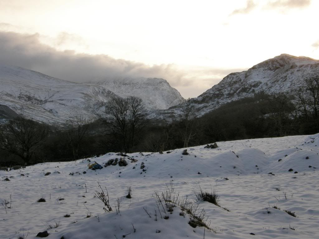
Photobucket
The Llanberis pass to the left side of Snowdon
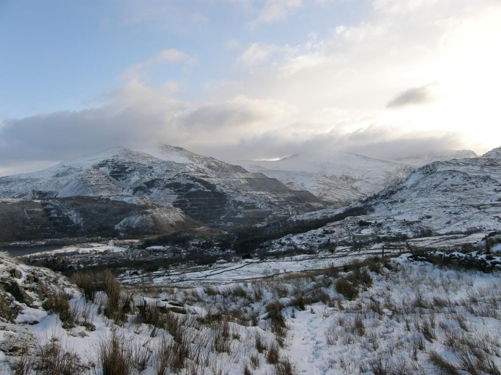
Photobucket
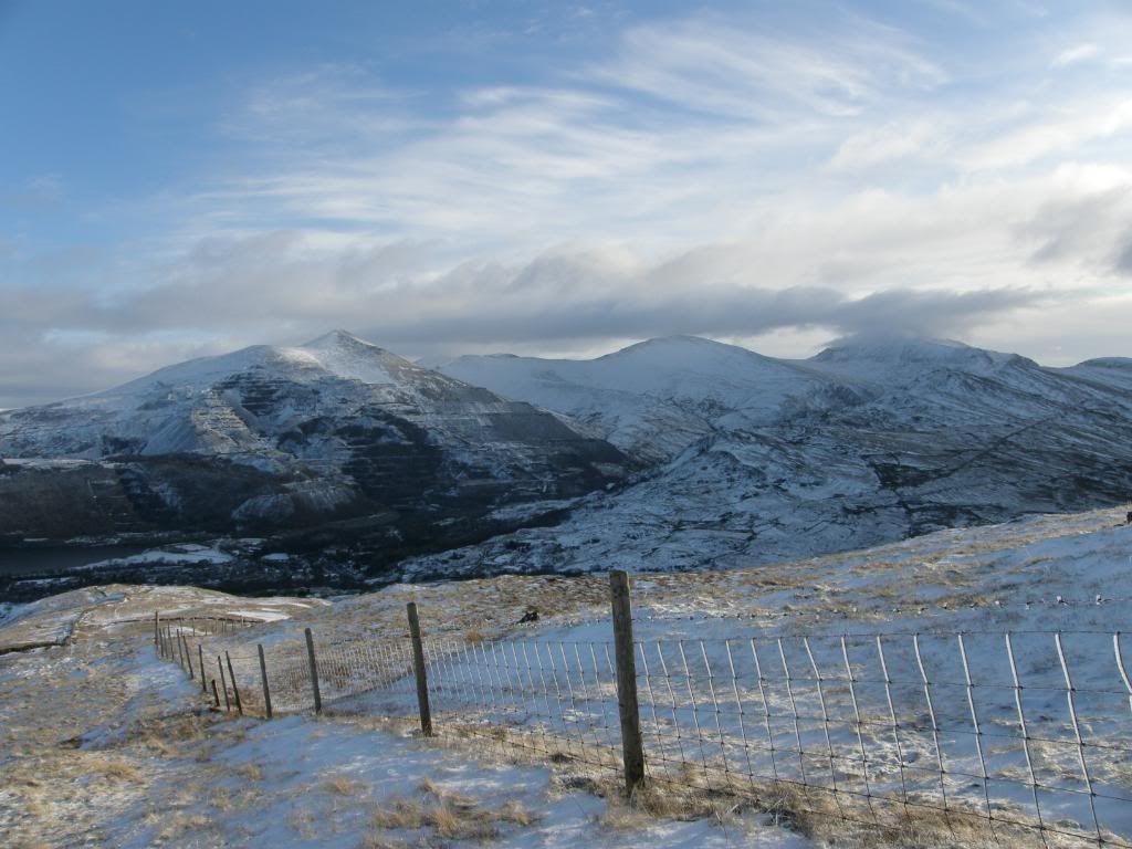
Looking over to the slate mountain below Elidir Fawr
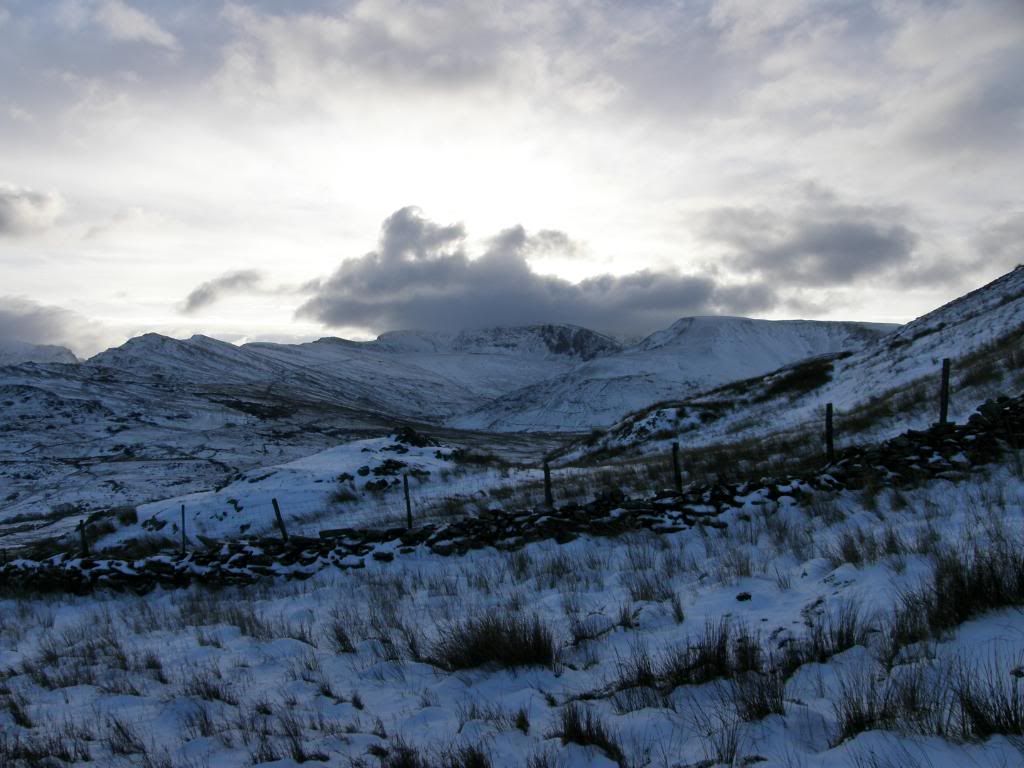
Photobucket
Snowdon cutting out the early morning light
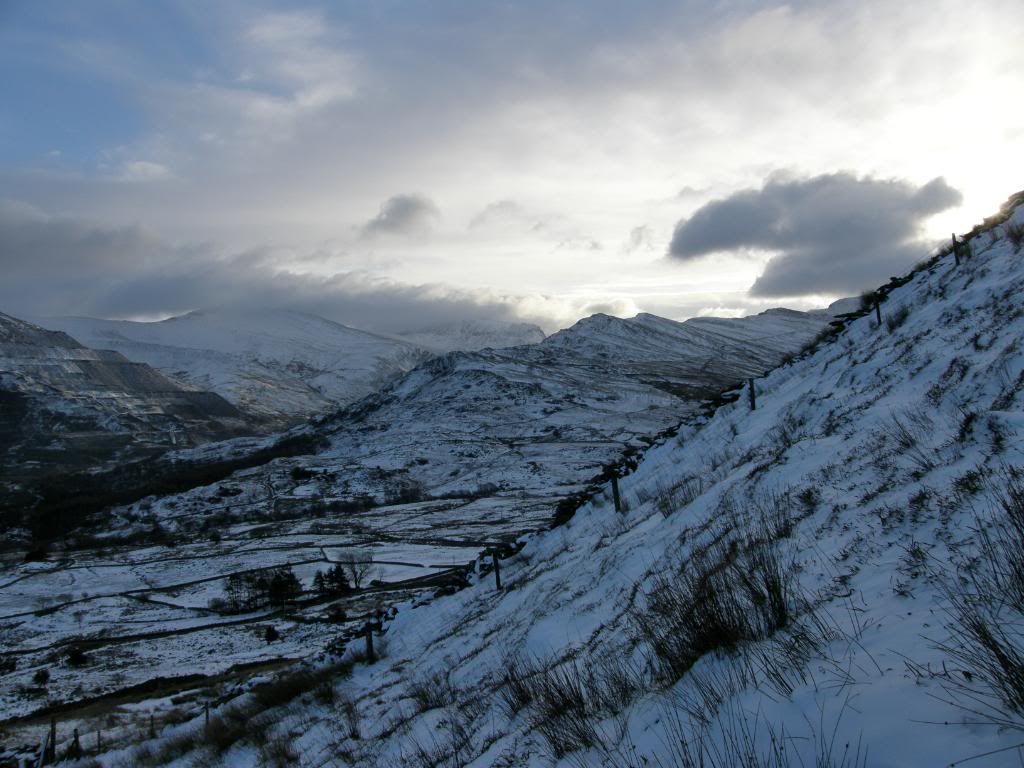
Photobucket The first steep slope up – looking over to the Snowdon railway track

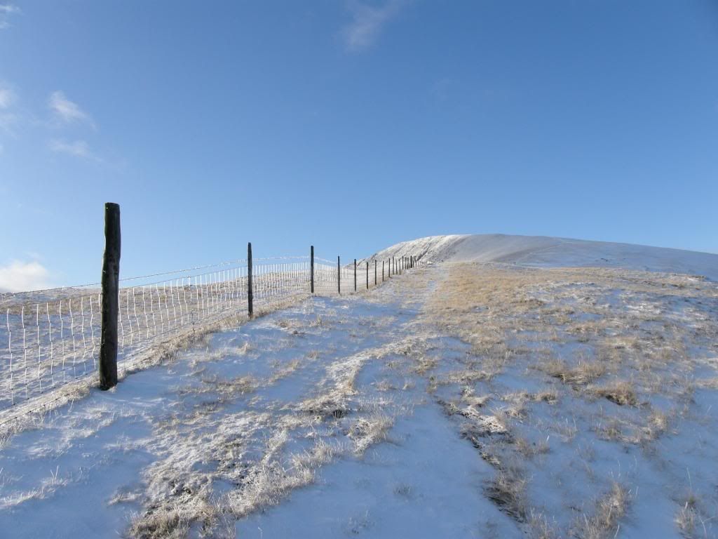
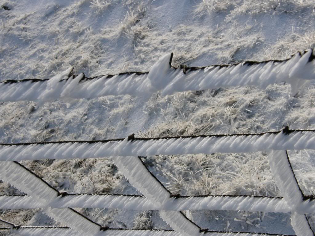
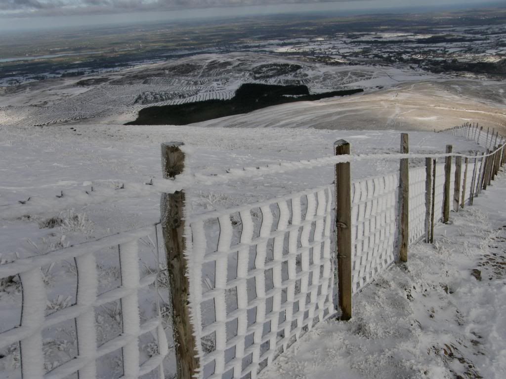
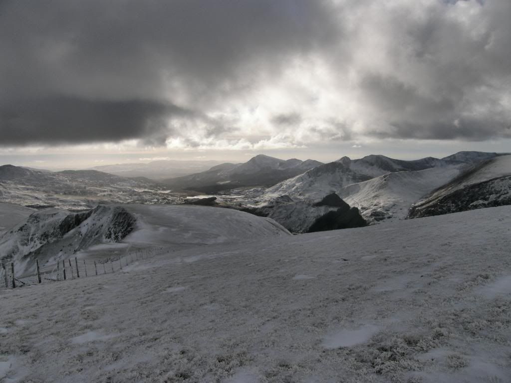
The slate mines stopped working back in 1969 and now provides a big tourist attraction for the area – as well as the Snowdon railway of course, and the Welsh Highland Railway, and Snowdonia itself, and much more – it really is a beautiful area. The fields we walked through were all snow covered and thickly drifted in places up against the drystone walls. Our route followed the fenceline uphill along the snow covered path, nice and crunchy, but the wind stopped it being one of those silent days where the snow muffles the sound. Paul carried his ice axe all the way around, Robbo managed the route, which left me as official photographer, and as such I demanded many photo stops – amazingly these all coincided when I was out of breath. We gained height quickly as the initial slope was steep, but we kept stopping to look over to Snowdon and the good views of the railway and stations, although there was nothing moving along there today. The higher we got, the better the views opened up, and in more sunlight Moel Eilio positively glowed ahead of us. For a change there were wide reaching views to all points of the compass. The wire fence had turned into an ice sculptor in this inclement weather and looked like a waffle coated with ice, with even the grass reeds coated with ½" of the stuff from the prevailing winds – it looked like the inside of my freezer. We also saw ski marks running down the slopes, and as I type this my colleague in Norway told me he used to ski off the top of Snowdon – pure madness.
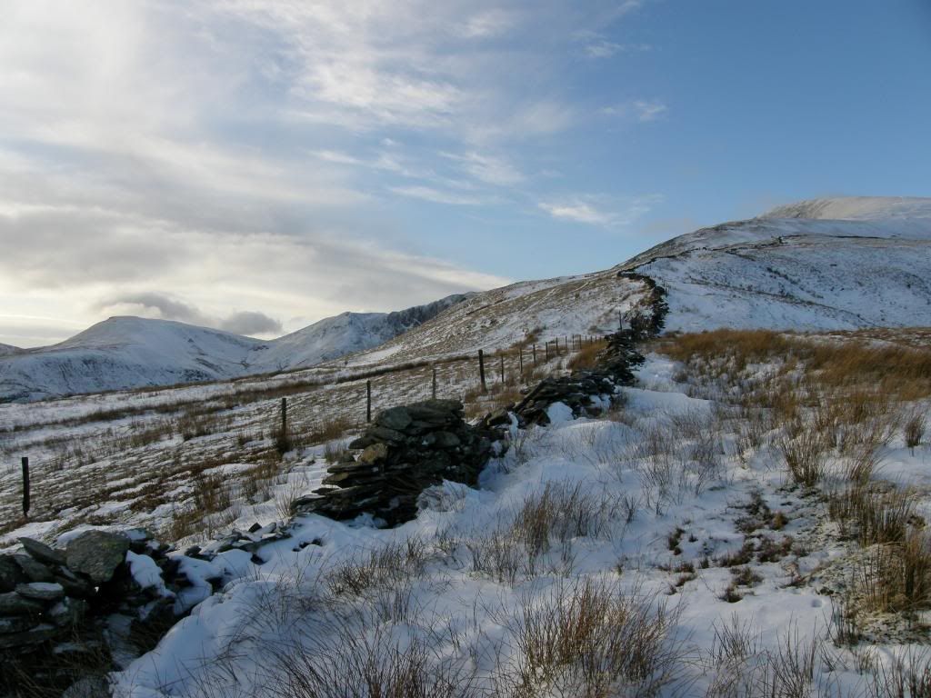
Photobucket
We followed the wall and fenceline up

Photobucket
A glowing Moel Eilio

Photobucket
A look back to the Glyders above Llanberis
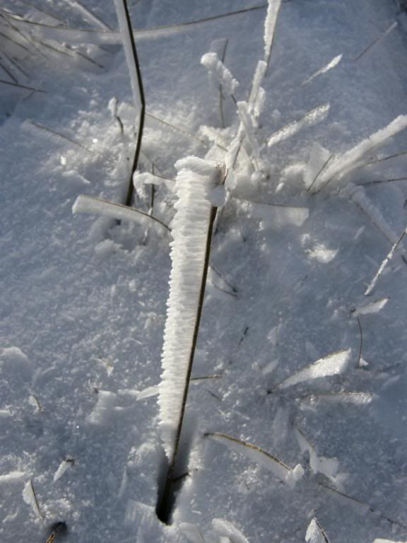
Photobucket
A free lollipop

Photobucket
A free waffle or two

Photobucket
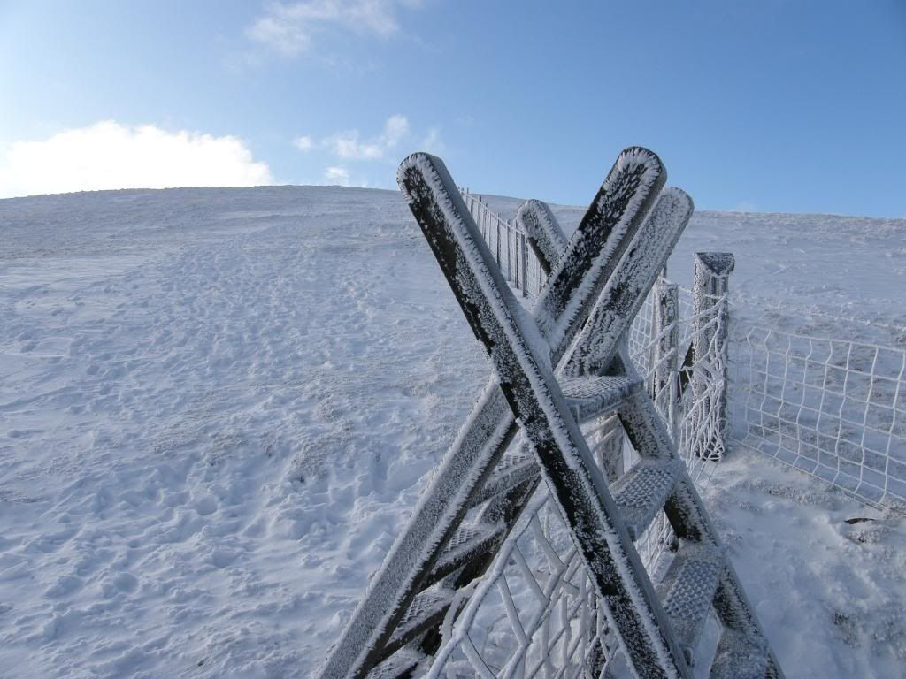
A frozen style

Photobucket
More waffle from me..

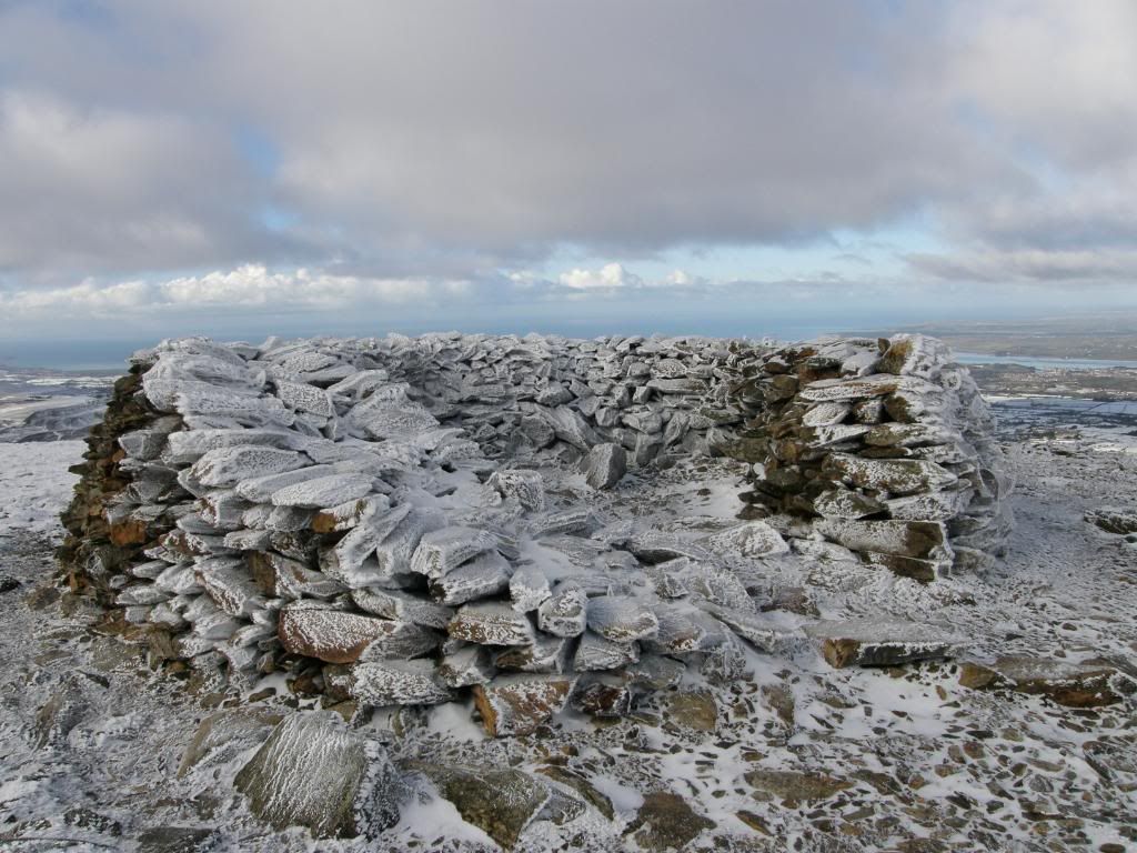
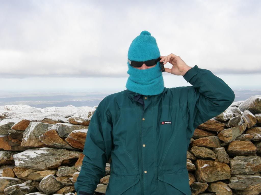
The views got better and better with the Menai Strait and Caernarfon Castle clearly in site, and looking beyond we could see Newborough and all across Anglesey to Holyhead Mountain glinting white in the sun – its white quartzite. Once we were up and over the frosty styles the summit shelter beckoned, but it was completely icebound due to the easterly winds. It was the first time I had seen the Llyn peninsula from this aspect and the Nantlle Ridge across the valley, which looks like a fine ridge walk maybe for warmer days in March. To the south were Moel Hebog and chums beyond the frozen Llyn Cwellyn. The snow on the tops was a bit thinner as it had blown away down the slopes, with the ground nice and firm but not icy – no danger of sinking bogs today. I found an old balaclava hat down in the cellar and resurrected it for today’s walk – I swapped my sweaty hat for it, but all that happened was I ended up looking like the fonejacker – but I doubt he has ever walked the Welsh hills. I had to take it off because it was too hot and a wee bit musty.
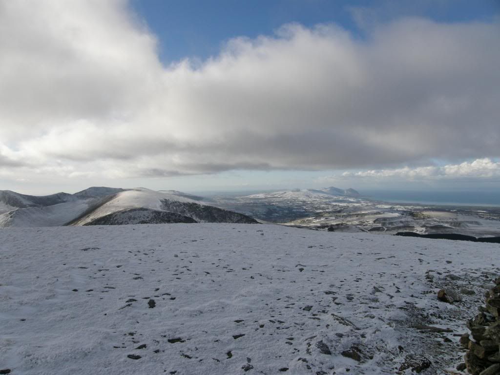
Photobucket
The view down the Llyn Peninsula

Photobucket
A frosty summit seat

Photobucket
Can I have your bank details please

Photobucket
The view to the South

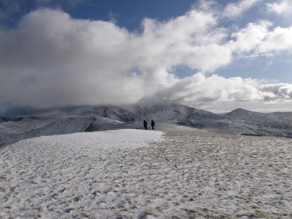
After taking some refreshment on board and admiring the views all around, we continued our journey down towards Foel Gre and Foel Goch. All of the steep exposure was to our left side over the fence for the worst parts, but it was safe staying away from the edge, apart from the occasional glimpse over the rocky Cwm’s. The old slate mines were still prominent beyond Llyn Dwythwch, and further to the south we thought we could see Cadair Idris, but we weren’t sure, but the Rhinogs were definitely in site. Just passed Foel Gro we came across a sunny patch, sheltered from the wind and the temperature rose by 10deg, so we took time for a spot of lunch out of the wind and we could even have had a sunbathe. We discussed the route ahead and decided that Moel Cynghorion was a Moel too far and we should cut down the valley at Bwlch Maesgwm. The south facing slopes lower down the hill were free of snow, which made them a bit slippier, and Robbo slipped over again. Paul tried not to laugh but failed and Robbo vowed to stay on his feet the next walk he has – Llangollen canal should do it! Then I slipped over, so we were equal, and only Paul stayed on his feet – but then again he had an ice axe to carry around all day long. We had one last snowy slope up to Foel Goch and then it was downhill all the way.
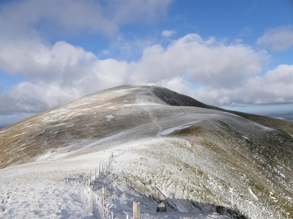
Photobucket
The view back up to Moel Eilio

Photobucket
Snowdon still covered in cloud

Photobucket

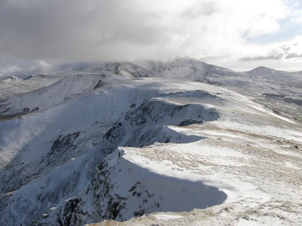
Some small snow cornices

Photobucket
Looking over to the start of the Nantlle Ridge
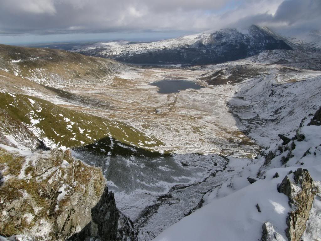
Photobucket
The view back down over Llyn Dwythwch

Photobucket
Another look back to Moel Eilio at the top
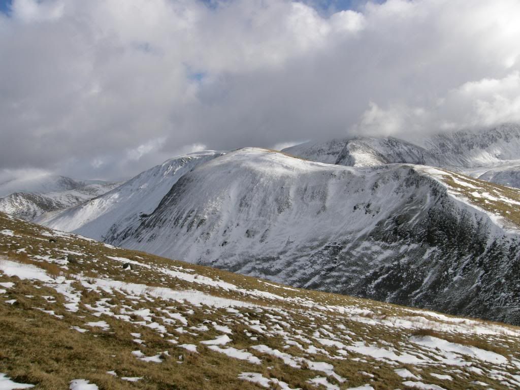
Photobucket
The last slope down to Bwlch Maesgwm

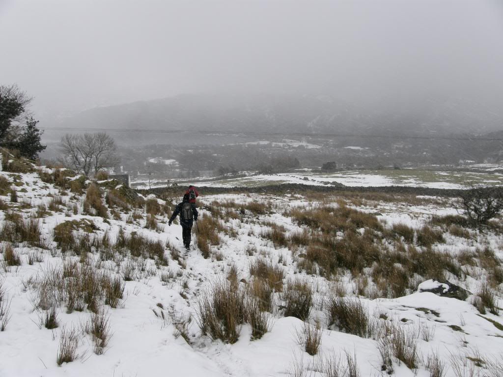
The path down the valley was well laid but full of snow, easy to walk along. At this point we could see the weather approaching from the north and looking decidedly grey and wet. Elidir Fawr began to disappear across the valley, as did the higher peaks behind us and we wondered if we could make it back before the rain or snow. As we dropped down the valley we debated if we could have come down at the end of Moel Cynghorion. It looked steep at the end but I’m sure we could have wound our way down OK – maybe next time. The path followed the contours around the hillside and passed by some derelict farmsteads below the path – a bleak place to live below a steep hill, facing East with not much sunlight until the summer – no wonder they are left to rot.
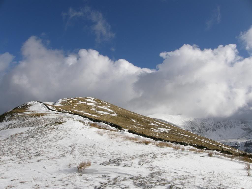
Photobucket
A Moel too far

Photobucket
Paul and Robbo trying to shake off the paparazzi
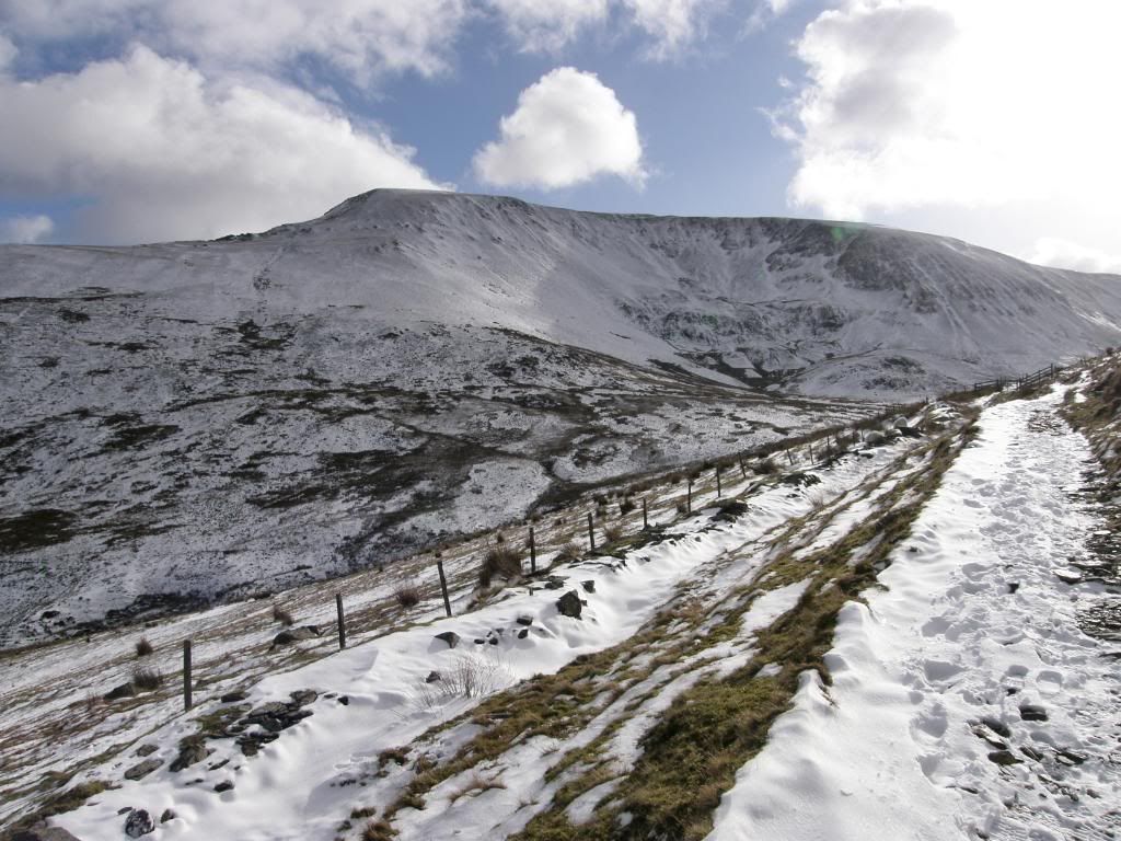
Photobucket
Moel Cynghorion – I’m sure we could have made it…maybe
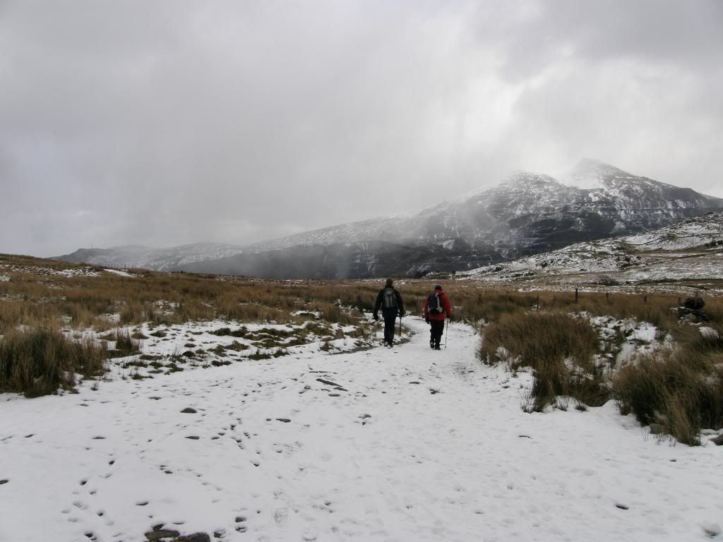
Photobucket
The pace quickens as the weather approached
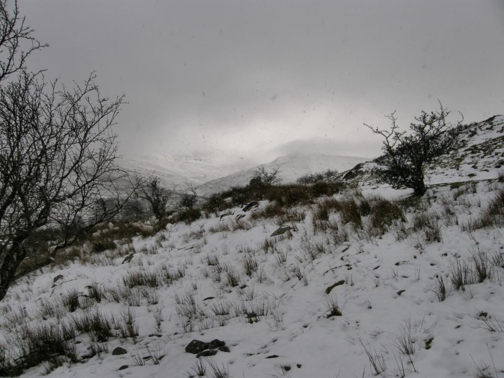
Photobucket
Whilst behind us the hills disappeared in gloom – good decision we made
Photobucket
And finally back across the fields to Llanberis

Across the valley we had a good view of the disappearing Snowdon rack railway line – it just looked very cold all around today. There was a weird looking building further around which is marked as an old rifle range on the OS map. The path turned into a farm track and after passing a gate or two we got back to the route we had taken from Llanberis in the morning. As we turned downhill through the fields and onto the roads the snow started to fall and behind us the Snowdon range all but vanished – we were happy we had cut down the valley and missed out that last Moel. As we walked through Llanberis all was very quiet. We didn’t see anyone and most of the shops were shut until March, as the tumbleweed blew by. Back at the car park there was a good snowball fight taking place, and thankfully they took pity on us walkers – that was the only wildlife we saw all day. I thanked Robbo and Paul for a good day out, and it was nice to finish early and beat the traffic home. I set off from the car park and reached for a CD that my mum had bought at Xmas – a Nat King Cole compilation. But when I opened the case there wasn’t a CD inside, so I guess it was Not King Cole to listen to on the way home – keep walking its brilliant.

Oh my Crib GOCh, it’s half The Snowdon Horseshoe!

4th April 2008.

Map: Landranger 115

Weather: Foggy in the valley, sunshine up to around 850m, thick fog above.


A circular walk from Pen-Y-Pass, up the PYG track until Crib Goch, along the ridge and up to Garnedd Ugain and along to the Snowdon Summit. Returning down the PYG track and Miners track back to the car park: 7 1/2 miles – as measured by a memory map track, the pedometer said about 10 miles, it felt like 12!

Copyright OS-Click on map to enlarge, then hit the back button to return to blog

I had a busy March at work, with many nightshifts. I wasn’t feeling full of energy today but the weather forecasts were not good for the following week so I took my chances. The BBC forecast showed low clouds later in the day and the met office forecast hill fog! I took a couple of maps with me ad if it was too misty I would continue to Anglesey and have a walk around Newborough Warren – a delightful stroll along sandy dunes. The drive down from Manchester took a couple of hours and as I approached the Llanberis Pass I could see Crib Goch clear ahead of me, but also the clouds scudding across the hillside.

Photobucket

Crib Goch on the right

Hoping for the best I turned up the Pass and it was clear approaching the hills. Crib Goch loomed large ahead. It was looking dark and very steep to me. It has a very distinct profile with the pinnacles very intimidating. I had spent quite a bit of time looking at various journals on the internet, and wasn’t sure if I could handle the exposure along the ridge. My sister asked if I was mad, and to phone her up if I survived!

Photobucket

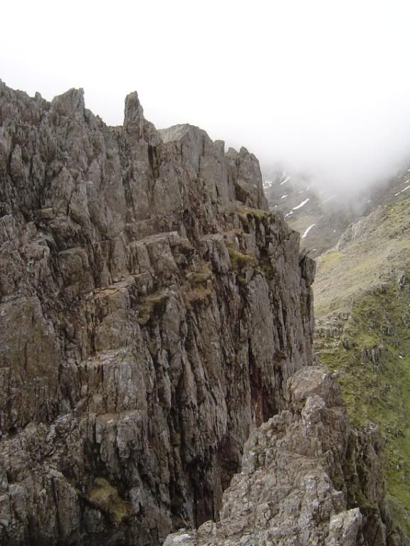
The Pinnacles to the west end of Crib Goch, fog ahead!

It was very foggy as I gained height up the pass, so much that I missed the turn into the Pen-Y-Pass car park and had to continue down to the Pen-y-Gwryd Hotel to turn around. The car park was fairly busy as the school holidays were still on, but I managed a good spot next to the PYG track - it was £4 for a days parking. I didn’t start until 10:30 today which was late for me, next time I’ll be down here at sunrise. It was reassuring to see that all the hikers today were well clothed and prepared for the worst of the weather.

Photobucket

The start of the PYG track

The "PYG track", one of the routes leading to the summit of Snowdon, and its name is believed by many to be derived from the initials of the hotel. Older maps, however, label the path as the "Pig track" and the name derives from Bwlch y Moch (the Pigs' Gap), where the path passes through a spur. The path is long established and well maintained by the present owners. The hotel's most notable mountaineering connections are largely due the first successful Everest expedition in 1953 and the Kangchengjunga expedition in 1955, where training and testing of oxygen equipment for those expeditions took place, at Helyg near Capel Curig. It is believed that Sir Edmund Hillary left the bar one snowy night saying “ I may be some time….”, and Sherpa Tenzing replied… “ Come back you tight wad, it’s your round…”

Photobucket

The path passes over these boulders…still misty ahead

The initial path is clearly marked, and the gentle ascent across the large boulder steps gently warmed my leg muscles for the day ahead. Thoughts of what was to come were bouncing around my head, but I told myself to be positive and concentrate on what I was doing. Good advice to myself and I was glad to act on it later in the day. There were plenty of people around and I passed by several families heading towards the summit along the PYG track.

Photobucket

Crib Goch peeking through the mist

Photobucket

The PYG track winding around

As I gradually gained height the sunshine came through and Crib Goch my brain tease came into full view. I started to anticipate the climb up the stony flank to the ridge. There were some minor patches of snow on the north facing slopes, but none on the sunny side. As I made higher ground the lake of Llyn Llydaw came into view sitting beneath the twin peaks of Y Lliwedd, where I expected to walk over later in the day. There was a good view of the miners track winding around the lake below. The clouds were swirling over the crest next to Y Lliwedd, but Crib Goch was staying clear with low mist further up the Crib-y-Ddysgl ridge.

Photobucket

Move along …coming through…

Photobucket

Y Lliwedd

Photobucket

The path diverges up towards Crib Goch.

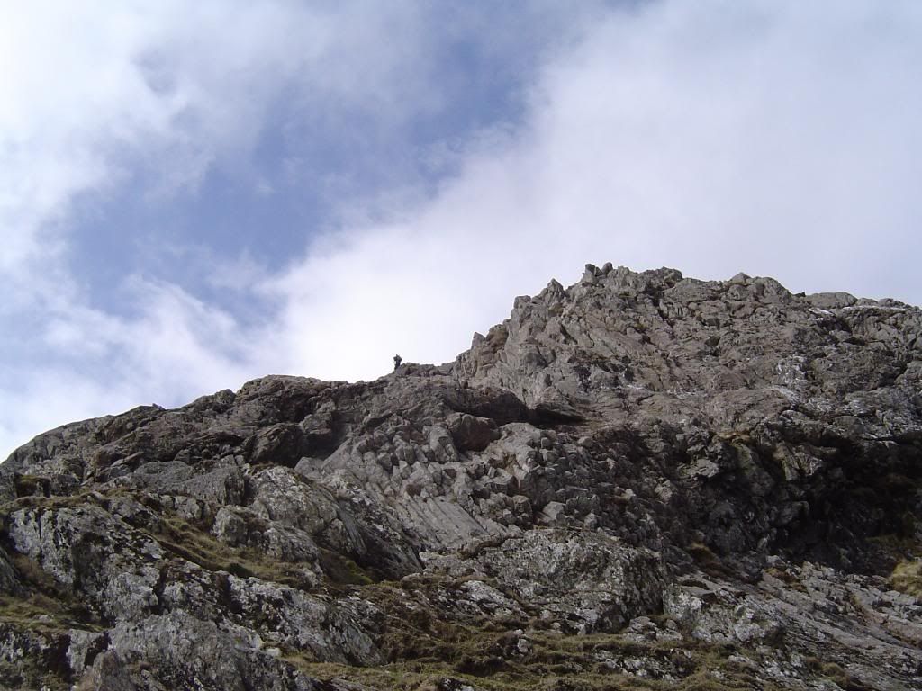
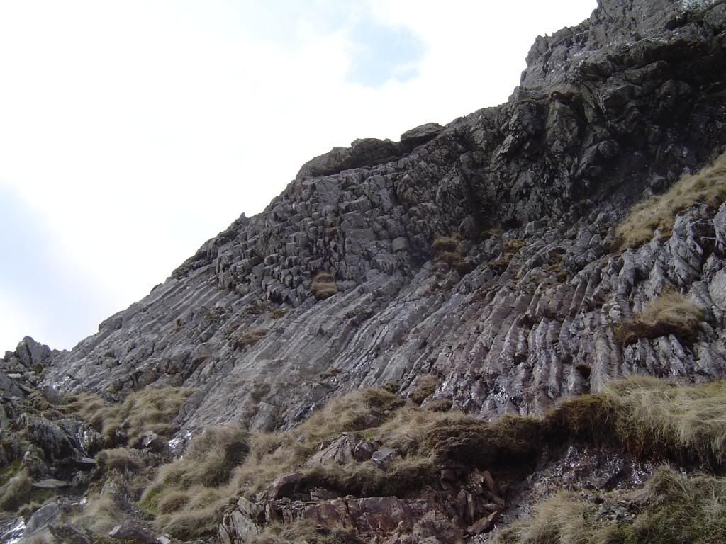
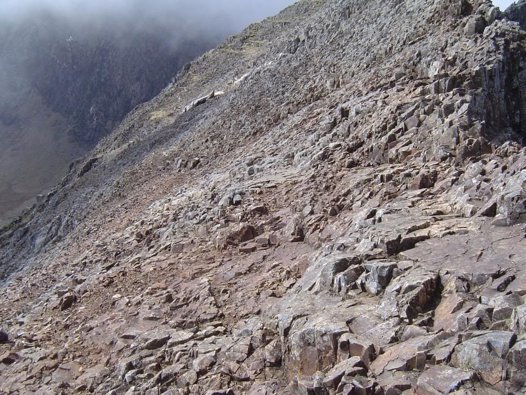
The path up to Crib Goch has a marker post and immediately you walk up to higher ground on a well marked path. I could see some people ahead of me climbing up the butt end of the ridge. Higher up on the ridge there is very little vegetation on it apart from the odd patch of grass. The path towards the ridge becomes progressively steeper, and as you leave the grassy parts behind the scramble begins. Looking back occasionally I was rewarded with some great views of the steep slopes below me, with the Llanberis Pass a long way down. The cloud was now below me in the valley, and the slopes ahead were getting ever steeper. Looking above me it was sometimes difficult to pick out the way up, and it was inevitable that I had to do a little bit of rock scrambling. The toughest pitches were sometimes 15 to 20ft high, but all had good accessible handholds and footholds. I did have to stretch a little from time to time, so if you decide to climb up here you need a little strength to pull up your body weight. I’m sure there is an easier route up but I enjoyed the challenge. I found this part the most difficult of the day and was aware of the big drop behind me, although I didn’t look back until I was securely seated. I zig zagged up the slope as the bedding planes of the rocks varied, sometimes near vertical, and other times dipping towards me. The scree slopes of Crib Goch look red from a distance and this is due to the oxidisation of the rock surface – basically its rust! If you break a piece open you will see the usual Blue\Green Grey colour of the slates. But most of Crib Goch is made up of volcanic rocks. On the way up I noticed some interesting columnar jointing, part of an intrusive igneous rock called Rhyolite (think of the columns of Giants Causeway and you will get the idea). All of this distracted me for a while, but this is a walk not a geology lesson.

Photobucket

The drop down into Llanberis Pass

Photobucket

Getting higher, with Crib Goch stretching away to the west

Photobucket

Steeper and getting closer, the path goes around to the left

Photobucket

Getting steeper, the scramble begins…

Photobucket

Looking across the valley to Glyder Fawr

Photobucket

Across to Y Lliwedd…a handy seat to admire the views

Photobucket

…and down to Llyn Llydaw and the miners track

Photobucket

Let the climbing begin….gulp

Lots more pictures to come. The geology continued with some Quartzite veins, which contain some Copper minerals such as Chalcopyrite, and down near Dolgellau…real Welsh Gold. I believe Princess Anne’s ring is made of Welsh Gold! Further up the slopes the bedding is sloping more gently towards you. The interbedded volcanic rocks are generally smooth below your feet and are covered in loose scree, although some of the rocks are easy to walk along. I felt very exposed here, but as you ascend you will find yourself leaning into the hill and steadying yourself with one hand on Mother Earth! I had a feeling of being on edge (or the edge) without too much to hold onto as the ground slopes up towards you. Because you’re going up a steep slope and concentrating I didn’t look back often enough and probably missed a few good pictures. But now and again I stopped for a breather and a look back to the height below…thinking cripes that’s blinking steep…. Or words to that effect. I was still feeling a little apprehensive about the ridge, but the ground becomes easier towards the crest. I knew that my moment was approaching but my heart rate was not too bad. Soon enough Llanberis and the lakes of Llyn Peris, Llyn Padarn came into view, with the Menai Strait and Anglesey further distant. The weather almost cleared to see higher up the ridge above Crib Goch, but the clouds continued to flow around and pour over Snowdon. I finally reached the east end of the Crib Goch ridge and WOW. I was speechless, a big smile on my face? No, just a big stupid grin because I knew I was going to walk across. What a fabulous feeling, very exposed but I’ve been on higher ridges with bigger drops down the side. I think that the drop on either side was a lot less than I anticipated (it’s still a long way down) so my confidence soared. Once I saw the lay of the land I knew I could just stride along in places. Even the Pinnacles looked less of a threat, so I pulled on my red underpants and flew across!
Photobucket

The road far below. Spot the two vehicles

Photobucket

The volcanic sill in the middle, see the columns. Someone further up as well

Photobucket

A close up …see the columns

Photobucket

Far below the PYG track. It comes up the left side of the picture. Steep up here isn’t it?


Photobucket

Nearly there, getting easier towards the top

Photobucket

Crib Goch stretching away to the west..Blue sky and excitement ahead

Photobucket

See the white Quartzite vein high up on the ridge

Photobucket

One of several large slabs on the way up…look over the edge…I dare you

Photobucket

What a dull day beneath this cloud at Pen-Y-Pass. I wonder how many sat in the car?

Photobucket

The Glyders across the valley…nearly at the top

Photobucket

The miners track far far below. View from some convenient steps.

Photobucket

The very last pull to the top, easy going now…

Photobucket

All of a sudden I was up there….Llyn Glas tarn high above the valley floor

Photobucket

Yeeeeeeeeeeeeeee Haaaaaaaaaaaaaaaaaaaaaa

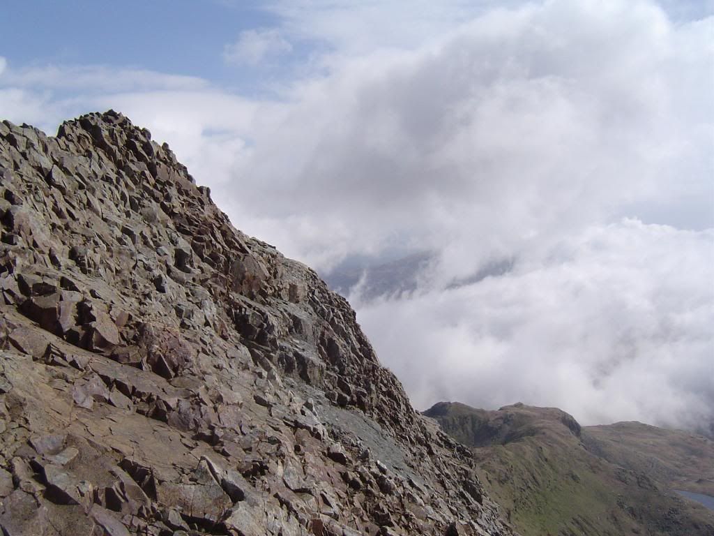
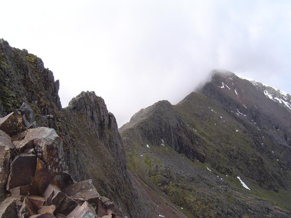
There was a nice flat spot just along the ridge where I had a nice break to absorb the unique atmosphere. I didn’t have views of Snowdon but it was 100% better than I imagined at the start of the day. The ridge was very steep in places, and before you rush out to do this walk, a basic requirement is a good head for heights, otherwise you will get stuck and won’t be able to go forward or backwards. The very nice men in the yellow helicopter will have to come and get you down. I walked along the crest in places but mainly stayed slightly to the south side (where the sun is) and used my right hand for support when required. There aren’t many places that require the use of both hands. You will notice that you are walking on 5 sided slabs, these are the tops of the volcanic rocks here. All of the handholds are solid and there isn’t much loose material around. I was wary of knocking off any rubble down the slopes towards the PYG track far below, but it would be unlikely that it would fall past the scree slopes. Taking the photographs was easy enough, I just sat down and got comfortable. The first landmark to make for is the Quartzite band. You can hear the Snowdon train puffing its way up the slopes but you cannot see it yet. All around you now are grand vistas, above, below and beyond. I had to tell myself to keep concentrating and remember where I was. Even where the pictures look impossibly steep you can still walk along. The wind was not so bad; not gusty so I never felt in danger of losing my balance. Further along the ridge you can start to appreciate how far you have come, as the ridge curves away behind you. Llyn Llydaw glints away far below and a column of ants’ moves slowly along the miners track in preparation for their ascent on Snowdon. Towards the Pinnacles the ridge widens out, and at the first Pinnacles you have the choice of going over the top or around to the left side. I’m not so foolhardy, so I took the easy option. Once you are past here the next stop is the big Pinnacle and the only way is up and over! But don’t worry there are a series of steps and good handholds which will take you up and over, and before you know it - that’s it, down to the col and start to laugh deliriously – don’t cry it wasn’t that bad!
Photobucket

Down the sunny side

Photobucket

From the flat picnic spot

Photobucket

It was easier to walk along than it looks

Photobucket

I did walk along here honestly. Note the column tops to walk on….easy does it

Photobucket

Cripes it is steep…I may have used my right hand for balance once or twice..

Photobucket

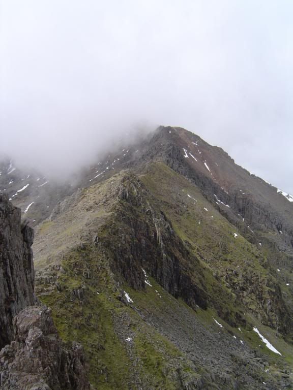
The second Pinnacles, then further up the ridge up to Garnedd Ugain

Photobucket

Looking back..this is not the ridge I came up, the start is to the right

Photobucket

Posing by the Quartzite slab…steam coming out of my ears..

Photobucket

Looking back towards the flat picnic spot

Photobucket

The bare rock on the way to the top can be seen bottom right

Photobucket

A bit further along the ridge, still easy going, if you close your eyes and grip tight…

Photobucket

Towards the first Pinnacles..stride along here at your pleasure

Photobucket

The ridge comes with some convenient handholds

Photobucket

The first Pinnacles. Left or up and over? Left I think..

Photobucket

Looking back up the ridge from the 1st Pinnacles. Not so bad from here.

Photobucket

Below the Pinnacles down to Llyn Llydaw

Photobucket

The path around the first Pinnacles

Photobucket

Looking north, not looking down

Photobucket

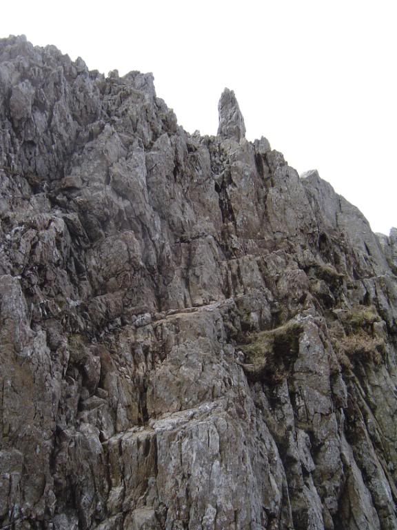
The second Pinnacles..Steps from bottom left to the top middle..easy

Photobucket

The Crib y Ddysgl ridge beckons

Photobucket

The other side of the Pinnacles

Photobucket

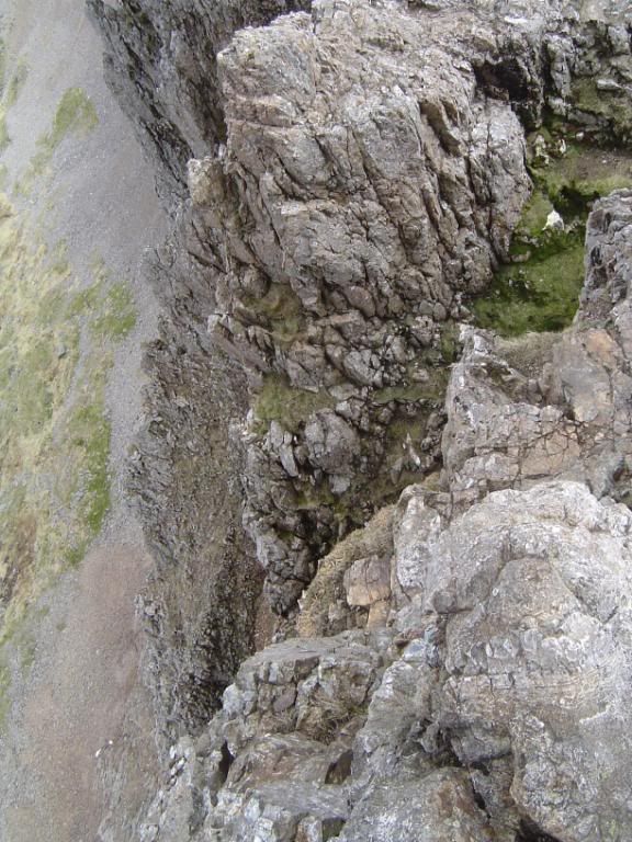
The drop below the Pinnacles, but you don’t come close to this

Photobucket

Past the worst bit now and down to the col at the end of Crib Goch

Photobucket

The end, made it, cue wild celebrations… a drink and an apple actually.

When I came down from the ridge I knew that had made my day so I made a couple of calls to say I was very much alive. I looked back along the ridge to see a steady stream of groups, no doubt enjoying themselves as much as I did. I looked ahead to the ridge disappearing into the mist and could see the meeting point of the PYG track and the miners track below. Still a long way to go, with some more scrambling ahead. The ridge at Crib-y-Ddysgl is a lot wider than Crib Goch, but there were some hairy moments up here as well. I had to retrace my steps a couple of times when the way ahead turned into rock climbing instead of a scramble. I didn’t fancy falling off yet. The higher I climbed up the ridge the better were the views back to Crib Goch. That was my reward for taking the hard route.

Photobucket

More scrambling ahead

Photobucket

The view back to Crib Goch

Photobucket

The PYG track far below. The start of the scramble up Crib-y-Ddysgl

Photobucket

Just stretch up a little. Be careful up the steeper sections

Photobucket

Further up the ridge the going is easier up these column steps. The mist still persisting

Once I was past the worst of the scramble the way ahead was clear and the path more defined. I took care of my footing and had glimpses of the valley far below. Occasionally the mist cleared and allowed a clearer view of the ridge and I was lucky enough to see the Snowdon train puffing up the hill away to my right. I was feeling the thigh muscles now as they had done most of the work today, a good work out.

Photobucket

Elidir Fawr above the hanging valley of Afon Dudodyn

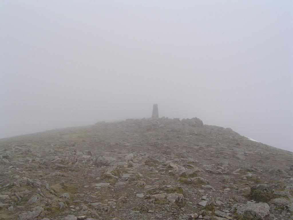
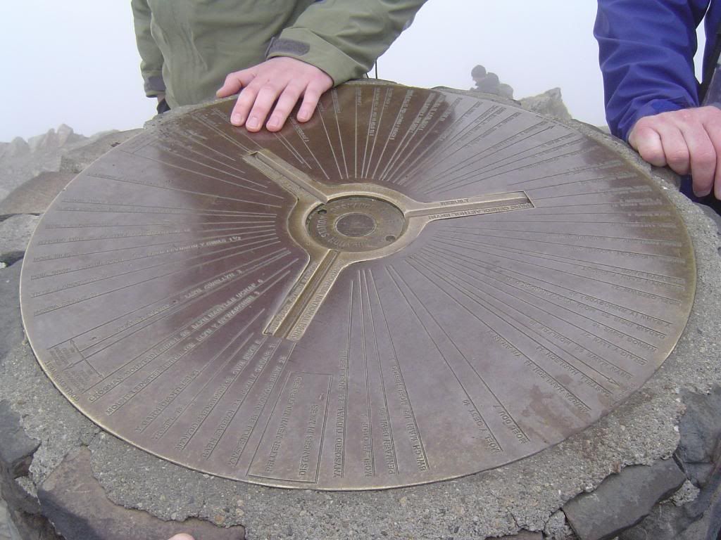
The ridge became broader as I approached Garnedd Ugain, the trig point cloaked in mist. The summit here is only 20m lower than Snowdon, and I had to descend again to meet up with the Llanberis path that follows the train track. It was cold up here but not perishing, with the wind chill above freezing. I continued up beside the rail track towards the summit, past the finger stone, now accompanied by the families that had come up the PYG track. It made for a crowded summit in the fog, and made me vow to return here in the summertime early in the day. Judging by the amount of information that is etched into the plate on the trig point the views should be vast. Today I could only just see the summit station buildings. They are renewing the station cafĂ© and looking at the plans it will be a huge improvement on the previous structure. There were a couple of mini diggers at work, not my idea of fun, and a long walk down if you miss the last train. Pallets of dressed granite lined the track, so I suppose by the end of the year they should have finished all the renovations. Hopefully people will learn to use the refuse bins provided for them! There wasn’t too much snow around, but it formed a cornice against the top of the ridge. The mist was now so thick I couldn’t see down the slopes at all. The summit did clear briefly for a quick photo, but soon closed in again, so I found a nice spot and had some lunch. Only hot soup and a chicken roll was enough today. I eat quicker when there is nothing to look at.

Photobucket

The Llanberis Pass road below Llyn Glas

Photobucket

A last look back to Crib Goch before I disappeared into the mist

Photobucket

The ridge up to Garnedd Ugain – the paths become easier

Photobucket

Here comes Thomas, puffing his way uphill

Photobucket

The summit trig point of Garnedd Ugain

Photobucket

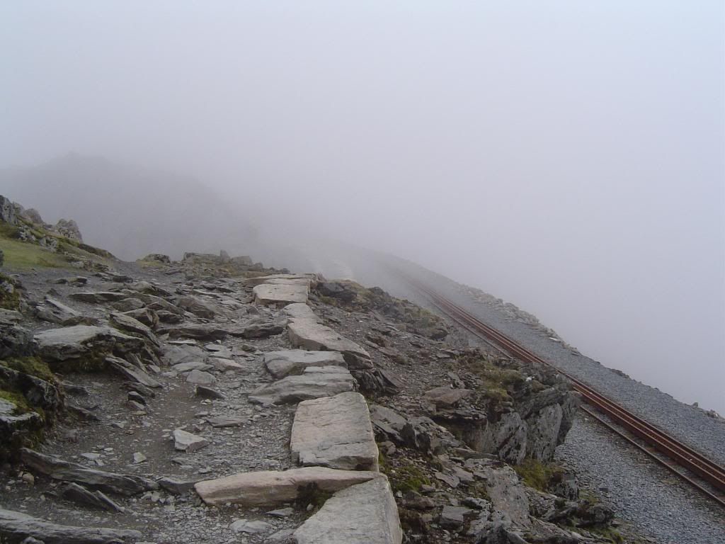
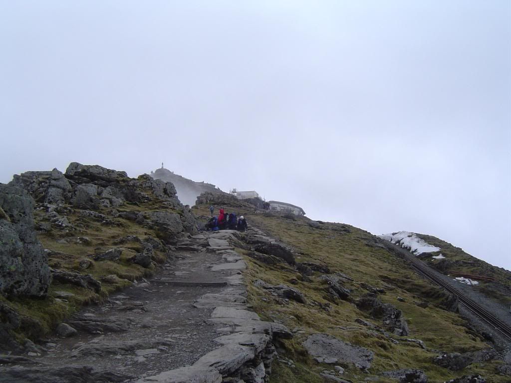
Up towards the summit alongside the rail track

Photobucket

If only the gentleman or lady on top of the trig point had their arms outstretched

Photobucket

The summit trig point was full of information and people..

There were plenty of people around on the summit, but most didn’t stay long. It was enough that they had met their challenge. After I had finished lunch I studied the map and I took a heading for what I thought would be the right path to continue the Snowdon Horseshoe and complete a memorable day. However I didn’t take the right path and although on the ground it looked like the correct route, in reality it wasn’t. As I sit here now and reflect on the day, I realise now that I misread the map and should have headed off the summit to the south-east, instead of the east heading I took. I descended down in the mist on a good path, but it soon became indistinct, and worse became much steeper. The mist was thick and visibility low. I was very mindful of where I was and the dangers lurking where I couldn’t see. I did not want to become another statistic, so made my way back up the slope to the summit and decided to descend by the PYG track. I probably wasn’t that far away from the right path, but the risk wasn’t worth it. I definitely have a reason to return when the weather improves. Once back at the summit I walked back down the track to the finger rock which marks the top of the PYG track.

Photobucket

No way down here so back to the top

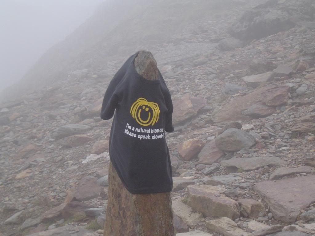
The top of the PYG track was snowed in and had become a little icy and slushy, and definitely quite slippery. The edge of the path was made up with large boulders and these were ok to walk down. I made my way down the track to another finger post that marked the junction with the miners track. It was adorned with an interesting T-shirt.

Photobucket

The finger stone marking the PYG track

Photobucket

Slide out of control here and you’re in trouble

Photobucket

I didn’t meet the owner, and I’m sure I would have recognised them

Photobucket

The miners track winds down to the shore of Glaslyn

Eventually I dropped down below the mist and the tarn below Snowdon came into view. The path was easy to follow and easy to walk down. I saw some interesting volcanic rocks on the way down – Pyroclastics – full of other bits of rock! Once I was back in the clear, I had great views of Crib Goch to my left and Y Lliwedd on my right. If I had carried on around the horseshoe I would have missed these views. It was good to see a different perspective of Crib Goch, and you can appreciate the steepness of the slopes.

Photobucket

Crib Goch high above the miners track

Photobucket

The outflow from Glaslyn, Snowdon shrouded in mist

Photobucket

I should have been up there – Y Lliwedd above Llyn Llydaw

Photobucket

No change in the cloud base – the outflow below Glaslyn pouring downhill

Further along the miners track you pass by the old mine buildings along an easy path back towards Llanberis. The clouds were still swirling down around Y Lliwedd and onwards to the Llanberis Pass and beyond. It must have been very gloomy down there today. A large pipeline extends downhill from Llyn Llidaw to some works in the Glaslyn valley. As you cross over the lake on the miners path there are some glacially smoothed rocks to your left. Now to end the walk it’s a gentle stroll back around to the car park at Pen-y-Pass. Crib Goch continued to dominate the skyline to my left and made me smile every time I looked up at it, and I’m still smiling a few days later.

Photobucket

The old mine works

Photobucket

Crib Goch, thanks for the fun. It doesn’t look so difficult from here

Photobucket

A last look back to Y Lliwedd across Llyn Llydaw

Photobucket

Back up the valley, Snowdon is still in cloud. The only frustration of the day.

I arrived back at the car park about 6 hours after I had set out, a grand day out. On the drive down the pass there were some boulder climbers at the roadside, with a strategically placed mattress to fall off on. I passed by the Llanberis slate mines, a massive scar in the landscape. Finally I passed by some new born lambs gambolling in the fields, it shouldn’t be allowed by Ladbrookes at their age!

Walking, never dull, but sometimes it’s just plain scary! Brilliant really.

About Me

My photo
Enjoying life. Work in Norway, walk anywhere.

Followers