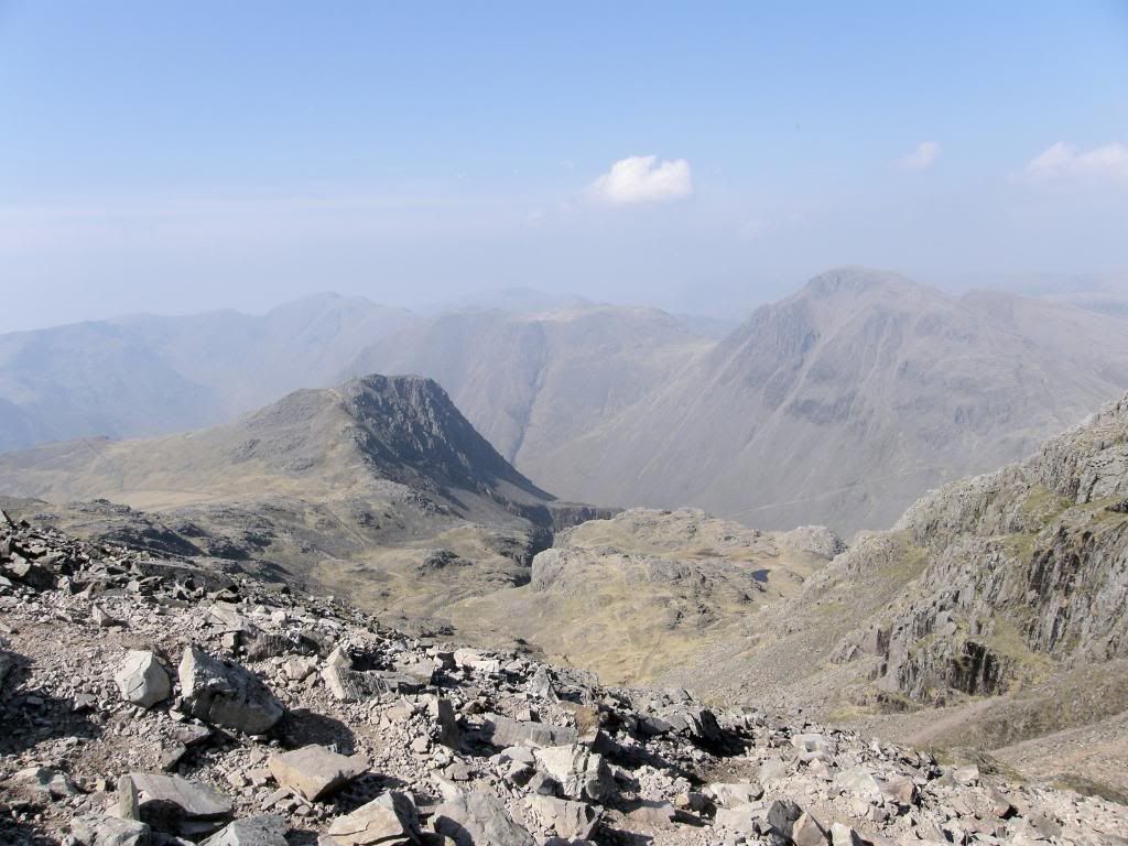
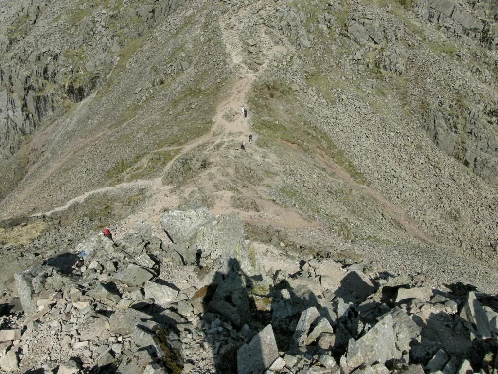
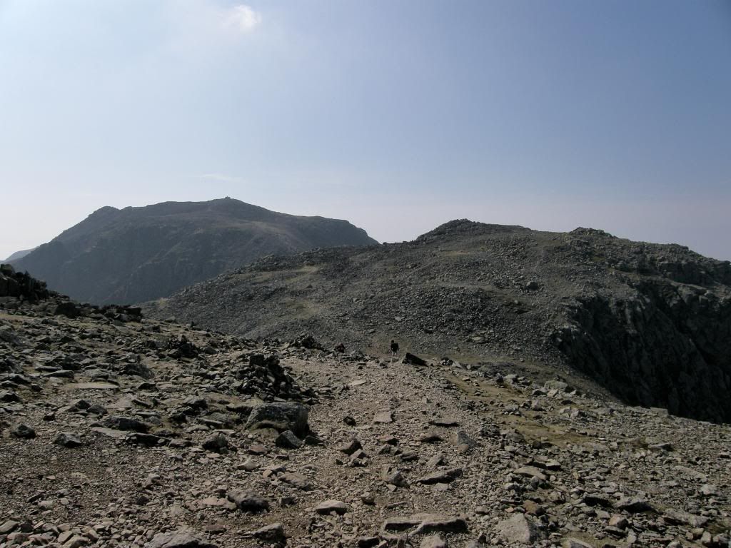
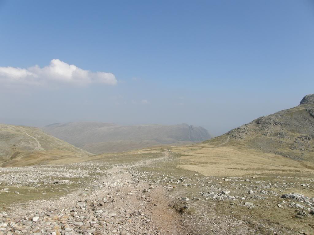
Welcome to my day walks

The dates listing these walks are the dates I uploaded the stories. They are in no particular order, and it doesn't matter because you were directed here from elsewhere!! I hope you enjoy the journey..


Scafell Pike on a sunny day

Scafell Pike, from Seathwaite

Date: 20th April 2009.

Map: Landranger 90

Weather: Hot – no wind, hazy on top – a glorious day around 20deg.

A circular walk from Seathwaite to Stockley Bridge, up to Sty Head, over to Piers Gill and up to Scafell Pike. Along to Broad Crag, Eskdale Hause, Allen Crags, up to Glaramara. Down Thornythwaite Fell and back to Seathwaite: 13.3 miles on the Satmap.


Copyright OS-Click on map to enlarge, then hit the back button to return to blog


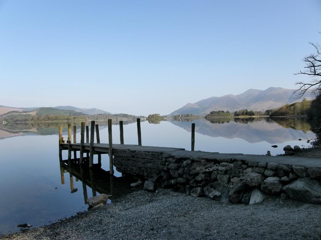
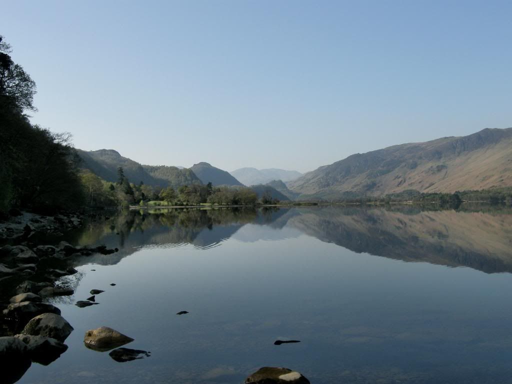
I met up with Graham so early that the car park at the Trafford Centre was yet to open. So we dropped a car off in the employee section and made good time up to the Lake District. Every weather forecast I had looked at forecast wall to wall sunshine, with a ridge of high pressure across the north of the UK giving stable weather. The only trouble was that spring was here and the ground was heating up but the air was still relatively cold, so we get a hazy weather especially over the coast. As we turned into Borrowdale we looked out at Derwentwater and the stunning sight of a glass like surface. There are not many days like these, with not a ripple on the surface – too early for the ferries, so we screeched to a halt twice, which delayed the start of our walk somewhat. I was trying to get the best exposure I could, but it left me with some shaky shots, much to my disappointment when I got home. But there were still one or two good shots in there due to the fact I took so many pictures.


Photobucket

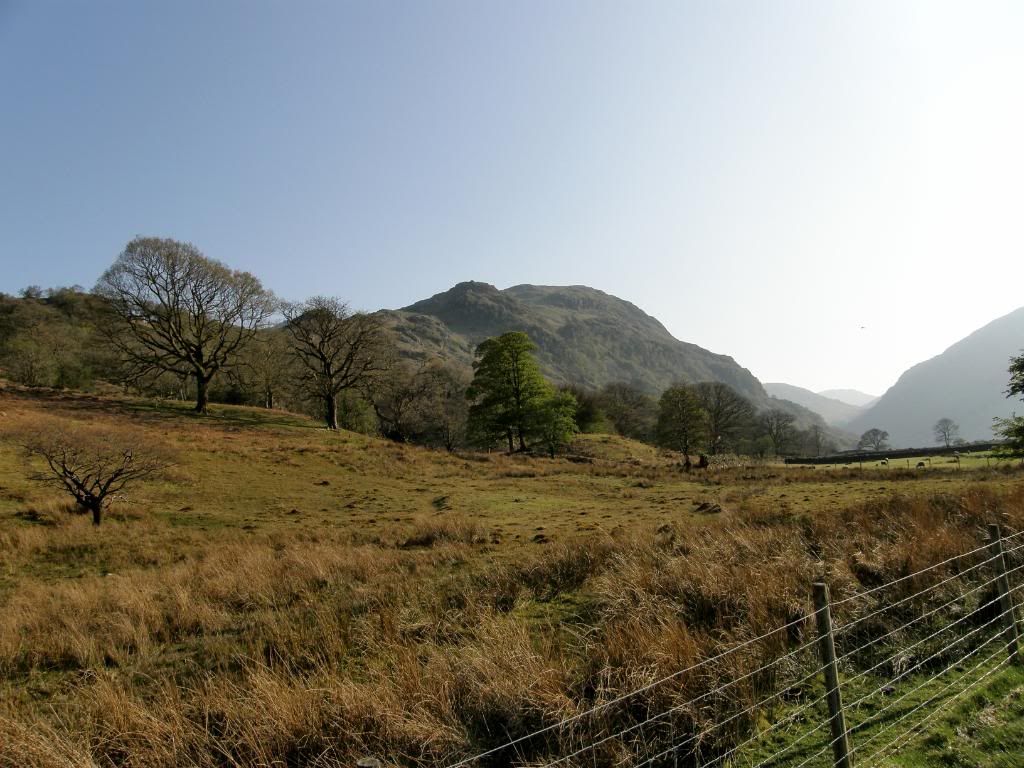
Looking towards our hills for the day


Photobucket

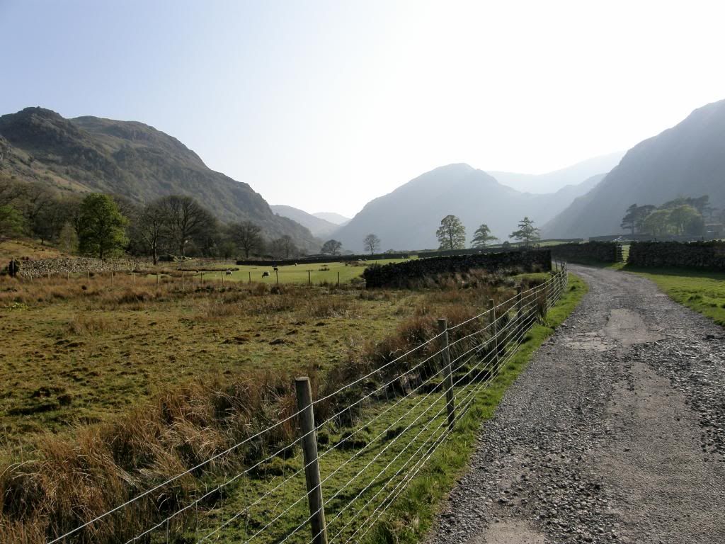
And looking back the other way


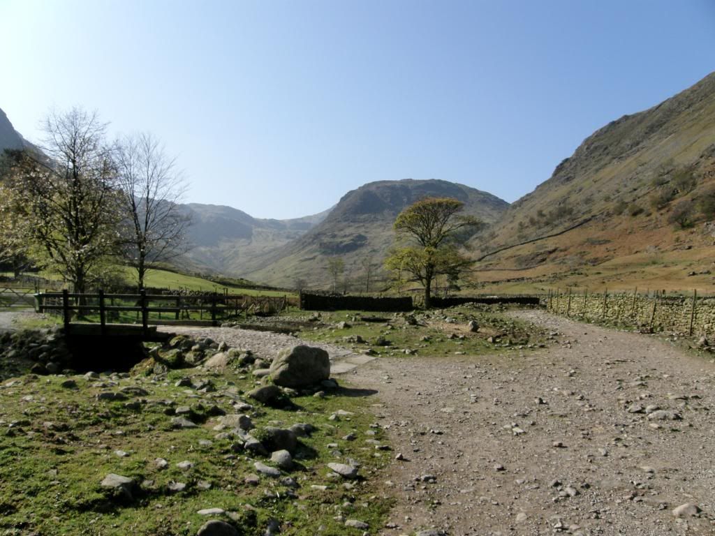
I am struggling to find a polarizing filter for my camera and didn’t realise when I bought it that it doesn’t fit any – but since then I bought a bigger size, but I still have to hold it in front of the lens, which is a real time consumer especially in bad weather. But I’m not a photographer so I don’t lose sleep over it – anyway on with the story. We drove on to Seathwaite and up a narrow lane to park up on the grass verges before the farm. There was plenty of room but it was rapidly filling up, and you would have to be early on a weekend or bank holiday. The first thing we saw today was a bunch of trainee surveyors from Newcastle University – we said to them what a lousy place to have a field trip, but try to make the best of it! They just laughed and told us what they were up to – it sounded great and what a place. We gently strolled along the valley to Stockley Bridge in the morning sun, noting the huge amount of boulders in the stream bed –glaciation rubble. It was the perfect temperature for walking – T-shirt and shorts, no wind and not too hot. It was also nice and peaceful with a steady stream of hikers but not really too busy.


Photobucket

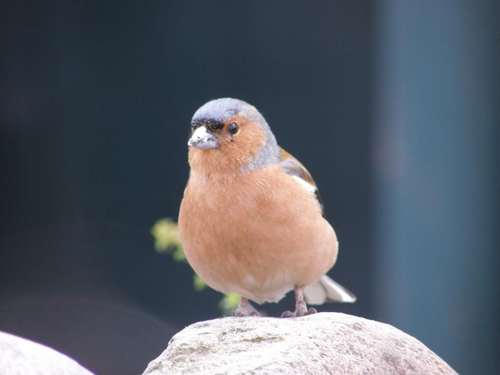
We met this cheeky chappie early on


Photobucket

On the way to Stockley Bridge


Photobucket

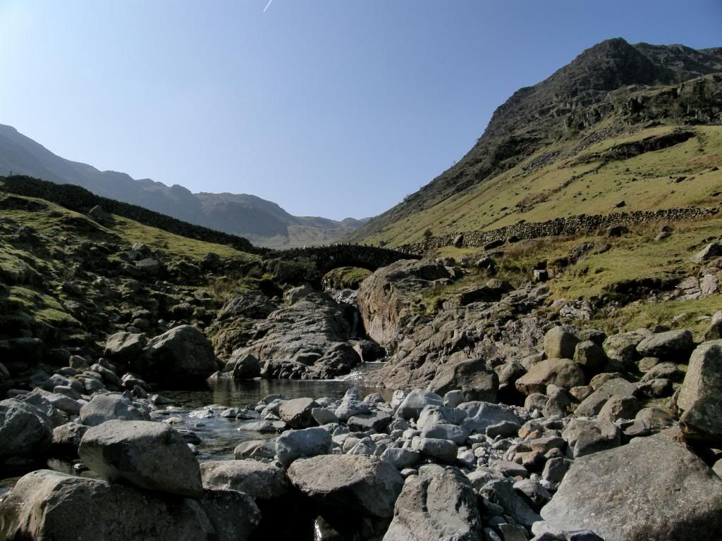
The old bridge


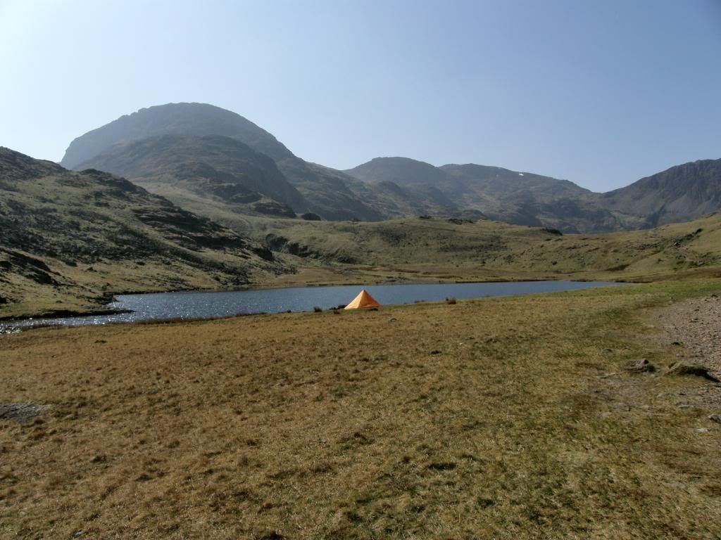
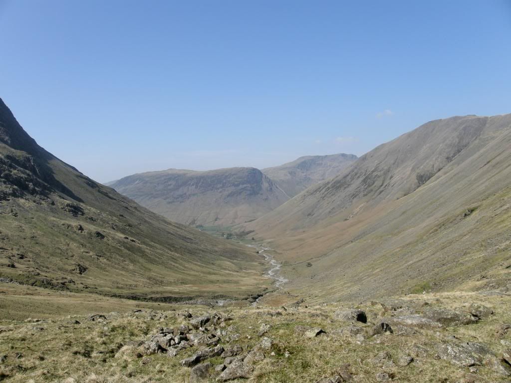
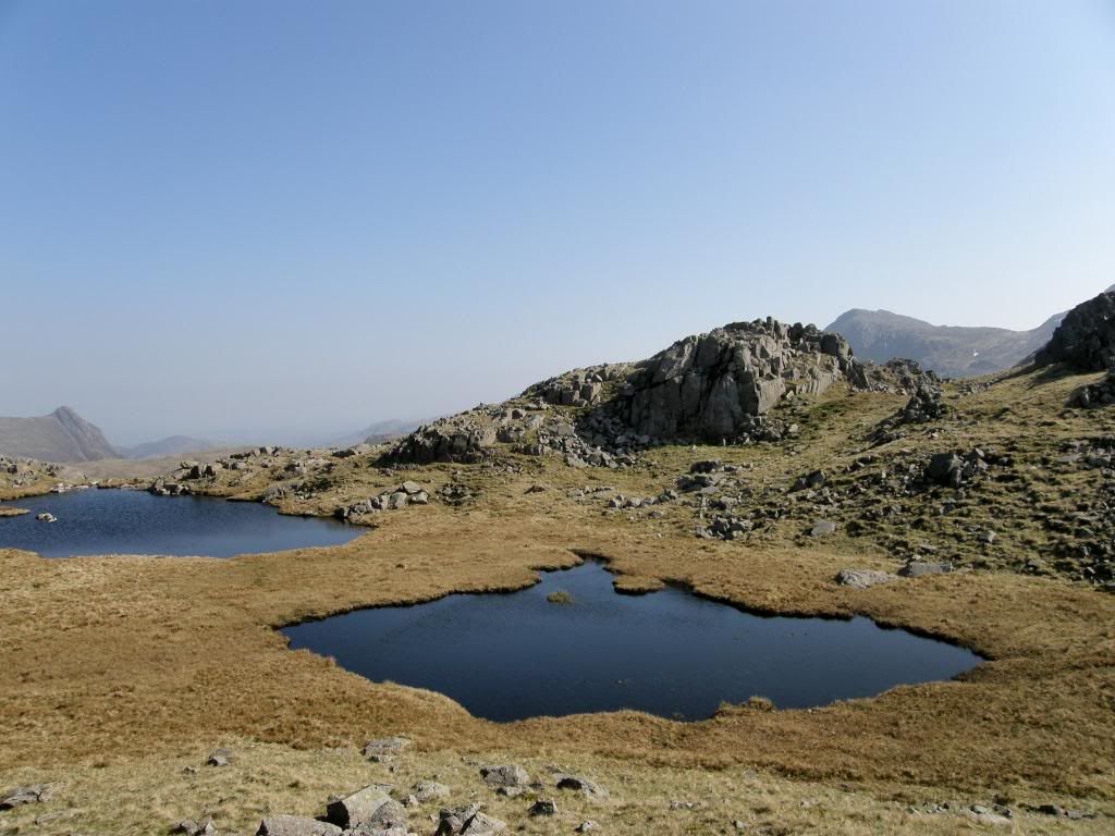
I had chosen the easiest route up Scafell Pike today, with a few steep bits, but generally the gradients are a lot less this way up. We walked below the falls at Taylors Force and on to the picturesque old pack horse Stockley bridge – a very picturesque spot and a fine site for a picnic if you’re not walking up to the top. We passed over the bridge with its babbling brook below and our first climb of the day was up to Green bow Knotts – not too taxing and a bit of a leg stretcher for the day to come. We knew it was going to be a hot one today and I had a couple of litres of juice to get me through, which was just about enough. I took regular gulps all the way to the top to keep hydrated but I think Graham was a bit short of supply today and finished the day a tad thirsty – I’ve since purchased a ‘Water Tap’ that will allow me to drink freely and safely from streams. We reached the valley above soon enough at walked alongside Styhead Gill along towards Styhead Tarn. The views ahead were great with Great End, Ill Crag and Scafell Pike dominating the skyline ahead and Green Gable above us to the right. There was an orange tent pitched alongside the tarn and what a splendid place for a spot of wild camping, and it made a lovely contrast next to the green hills.


Photobucket

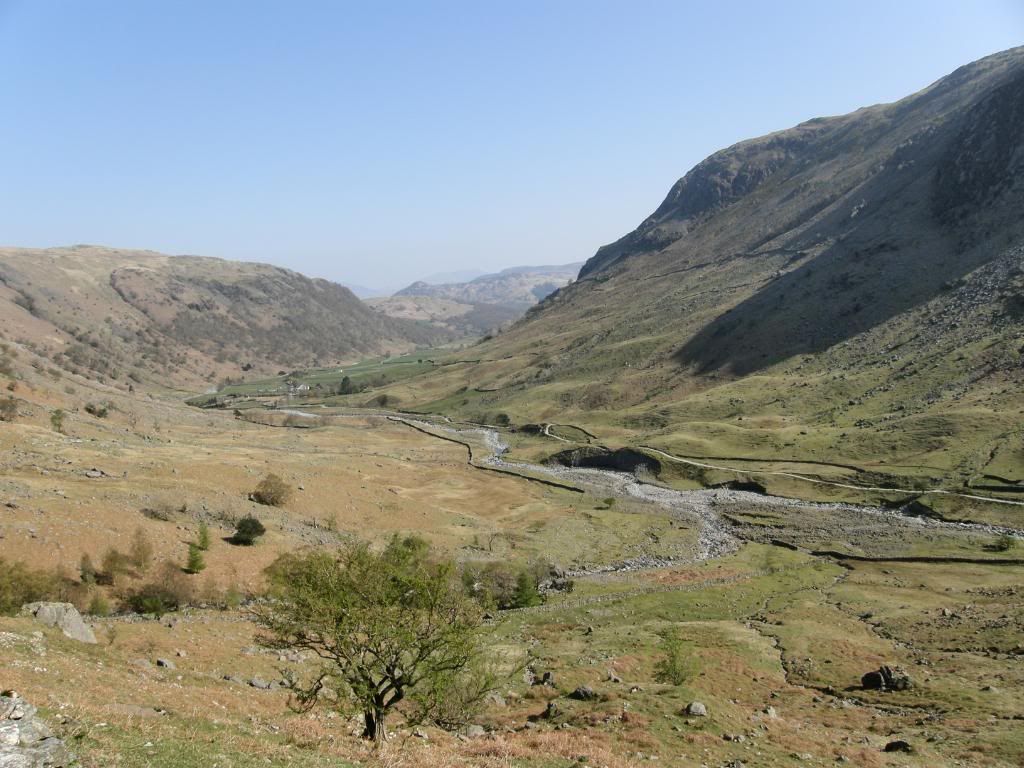
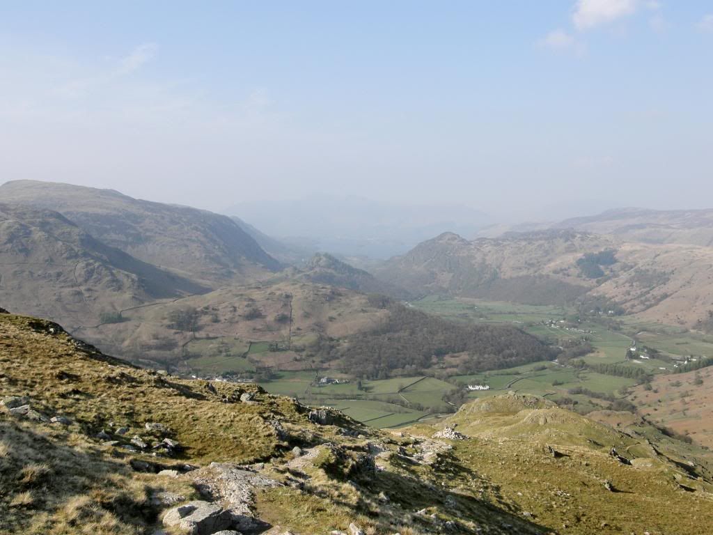
Back down the valley to the start


Photobucket

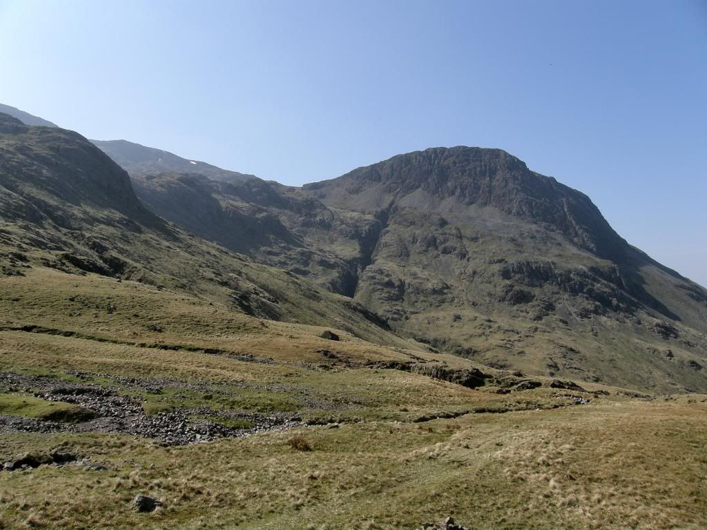
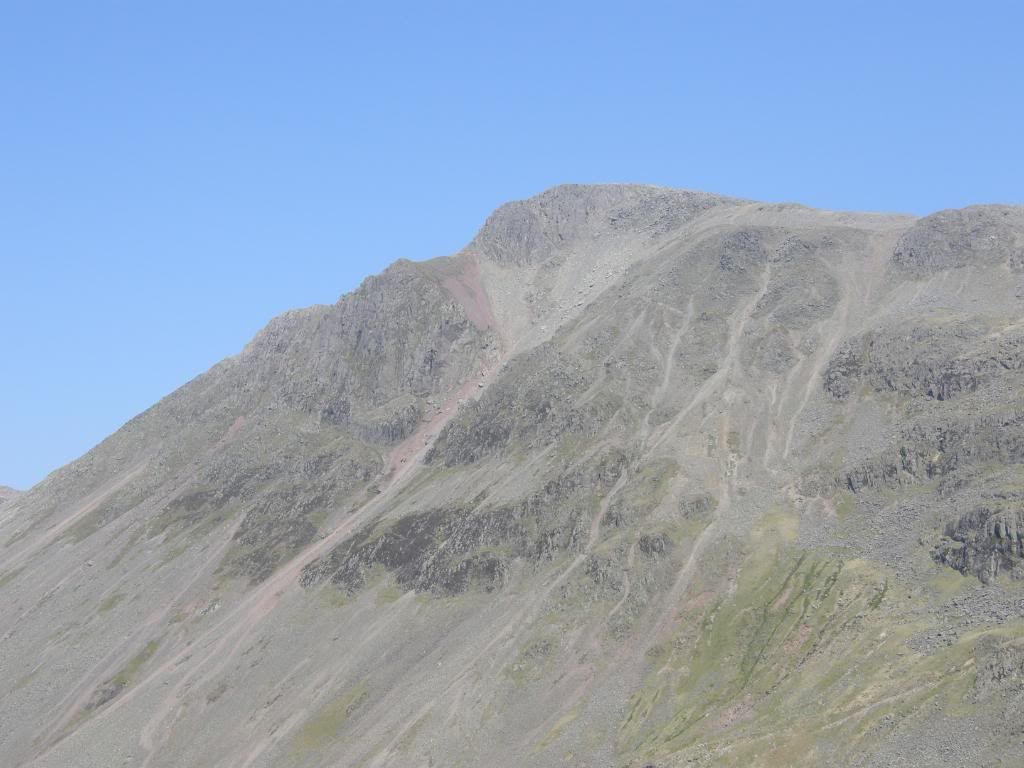
Great End with Scafell Pike at the back


Photobucket

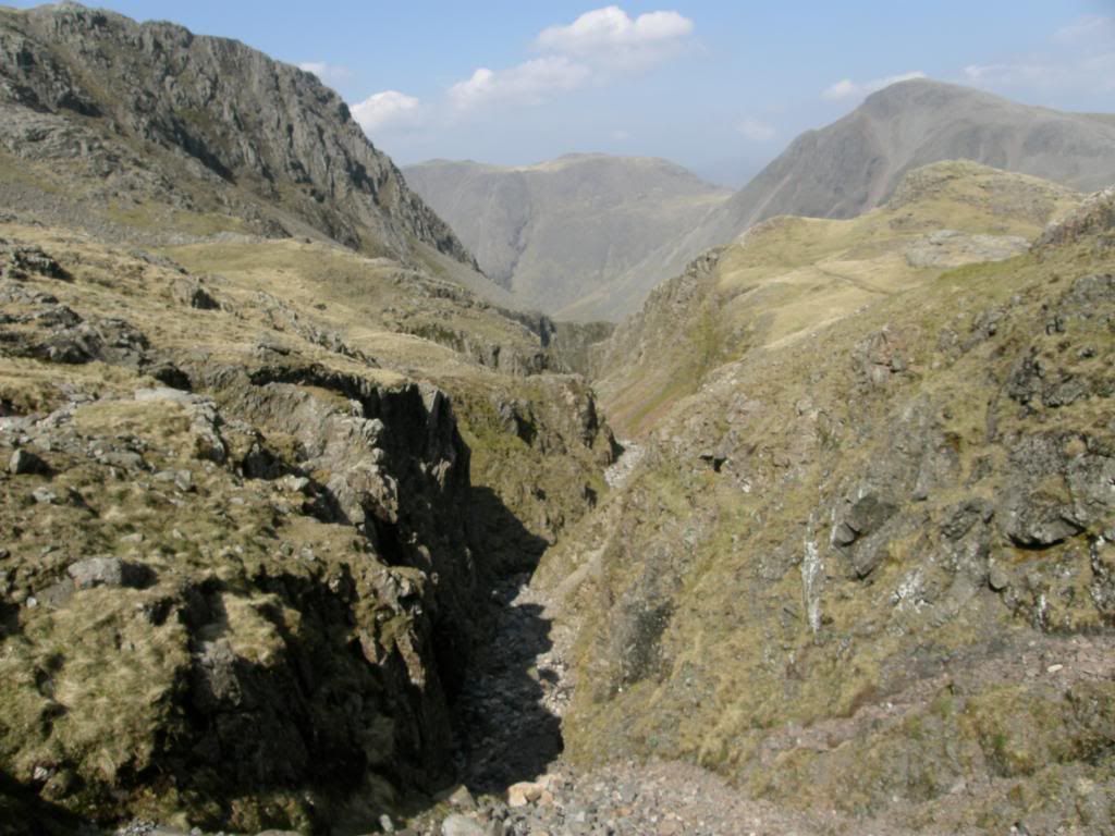
Lingmell from the MRT box, with the deep gash of Piers Gill


Photobucket

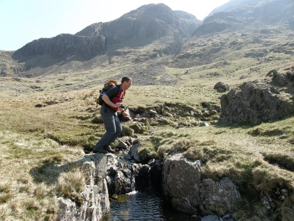
Fireman’s leap


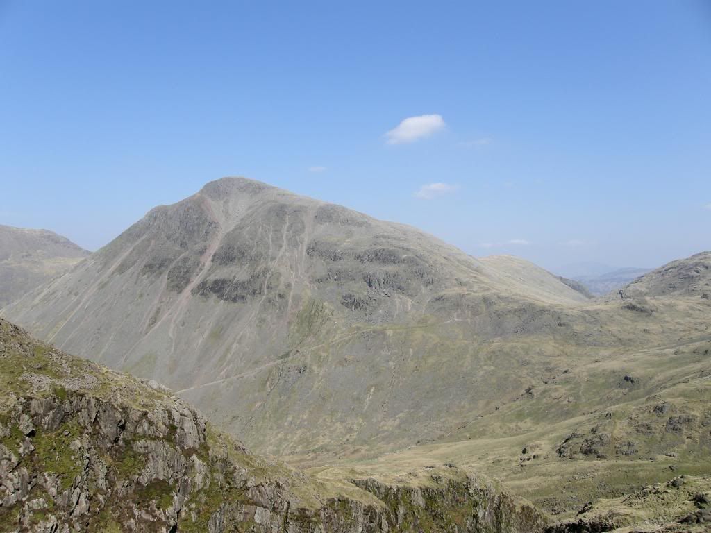
Up by the MRT stretcher box we could look across to our route by Piers Gill and tried to pick out a path that would not loose all the height we had gained to this point. We did have to drop down a little from Sty Head as opposed to turning left to go up to the corridor route, but our reward was fantastic views of the southern face of Great Gable. Every time we stopped and looked around on our way up, there it was in our face and I think we both ended up with numerous pictures of the same view. But our immediate view when contouring around the hill was down the U-shaped valley to Wasdale Head – it looked big and empty down there, with the only vegetation of sheep cropped grass. We came across a deep cut gulley of a side stream and named it the fireman’s leap after Graham jumped across. I took a picture that came out first time, but I couldn’t manage a shot mid leap, so I got him to go back and forth several times just for fun – got to get the energy out of these youngsters you know. We managed to clip off a good deal of drop down to the official path and stayed high up the slopes by following a couple of sheep trails around towards Piers Gill. As we reached Piers Gill it was easy to look along this big gash below Lingmell and today it looked dry as a bone due to the prolonged spell of dry weather we have had. It would have been possible to go up the Gill today but all of the guide books warn of the dangers of going up the Gill and I wouldn’t consider going up that way. There have been many people stranded and being rescued by the MRT – so don’t even think about it, just stay above and look down in wonder. Behind us Great Gable was flexing his muscles – fancy naming a mountain after an actor. I haven’t been up there yet, but we could see a couple of people descending the climbers traverse – it looked impossibly steep from where we were but I suppose it’s not so bad closer up and this is a route I’ll consider for later in good weather. My pictures continued to be wobbly and to this day I still don’t know why – doh.


Photobucket

The view down to Wasdale


Photobucket

Great Gable and some steep scree slopes


Photobucket

The same from further up the gill


From the bottom of Piers Gill it is a steady grind up the left hand side of the Gill to the top where it reaches the Corridor route. But just before the route swings south the path hits a metaphorical brick wall – there you are concentrating on your foot placement looking at the ground and all of a sudden you bump into the crag – you look up and the path just stops at the base of a 20 to 30ft scramble. People must get confused here, but some kind soul or different type of sole (depending on your point of view) has scribed an arrow at the base of the crag pointing skywards. But once we were up and over this hurdle the path up the side of the Gill was straightforward and easy to follow. Periodically we stopped to stare at Great Gable and down into the depths of Piers Gill – it really is quite a drop to the bottom, so be careful. I was glad to get up to the Corridor route path and the gradient eased a little before a final trek up to the summit. There are several well worn paths up to the top and others leading away from Scafell Pike so we made sure we were on the right one and didn’t waste energy going along the wrong route – easily done when you’re feeling a bit bushed.


Photobucket

Looking down Piers Gill from the corridor route


Photobucket

At the top with hazy views all around


Photobucket

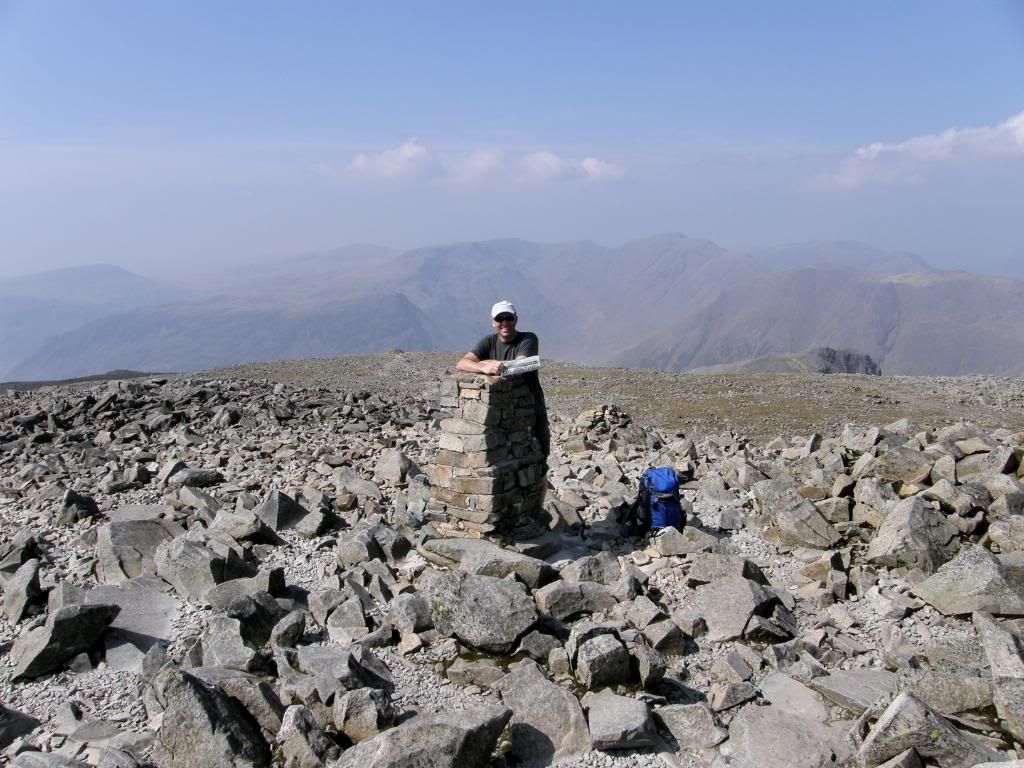
Posing by the summit trig point


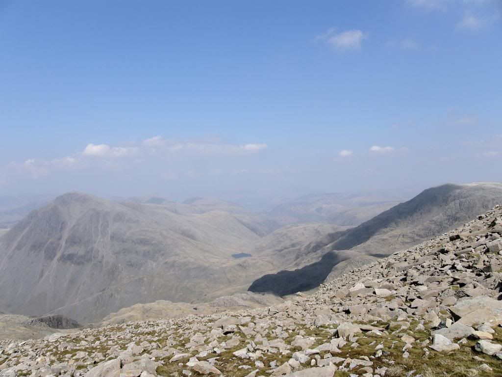
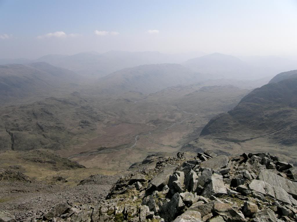
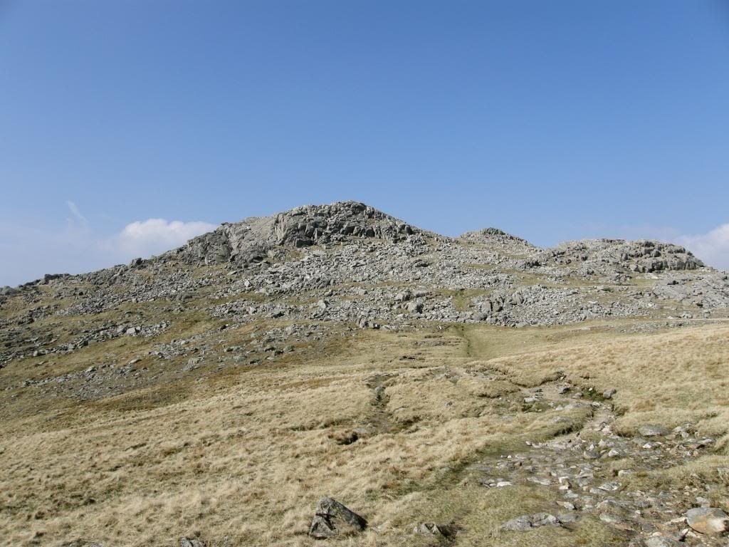
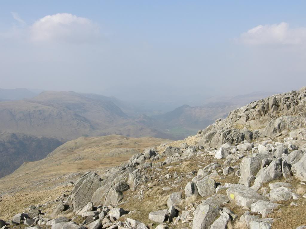
There were some good pieces of convoluted bedding to be seen on the way up and they provided little stops to stand and stare at the rocks beneath our feet. Obviously there were great views looking back down to our route today, back to Styhead and beyond and the higher we got the more we could see, but because of the bright light it was a little hazy. It wasn’t overly busy when we got up towards the summit, and we took time to go over and look down to Broad Stand and the routes up to Scafell including Lord’s Rake – an exciting little route up. But we were there to walk up to the top of England (Grahams first and my second ascent) and as always it is great to stand atop a mountain and take in all the surrounding vistas, and enjoy the rewards of your efforts. We took time for a lunch break and didn’t have to don a fleece or any extra layers as there was no wind to speak of – very strange for an exposed mountain top, but very welcome. After some rest and refreshment we wandered to the south a little, over to where the great AW used to sit and ponder. The views from here are terrific and we gazed down over the Great Moss of Eskdale and beyond to the Crinkle Crags and Bowfell, themselves great walking country. But we didn’t dally too long as time was ticking along, but Graham said he was ok for a later finish, so I didn’t worry too much about time – and that’s the way it should be.


Photobucket

The view down over Great Moss


Photobucket

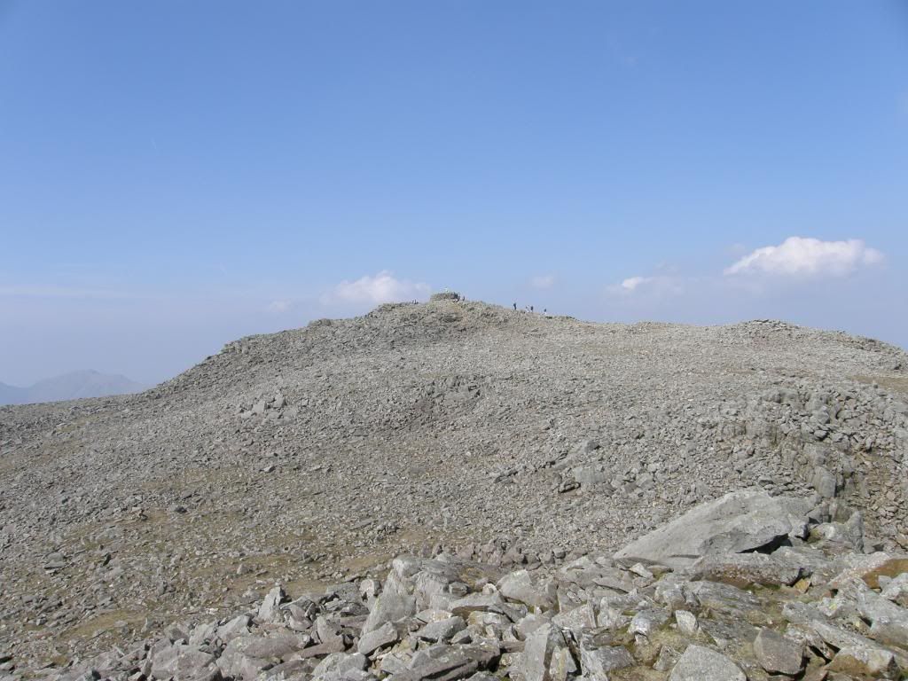
Looking back up to the summit cairn


Photobucket

Across to Lingmell, with Great Gable out back


Photobucket

Steeply down to the col above Little Narrowcove


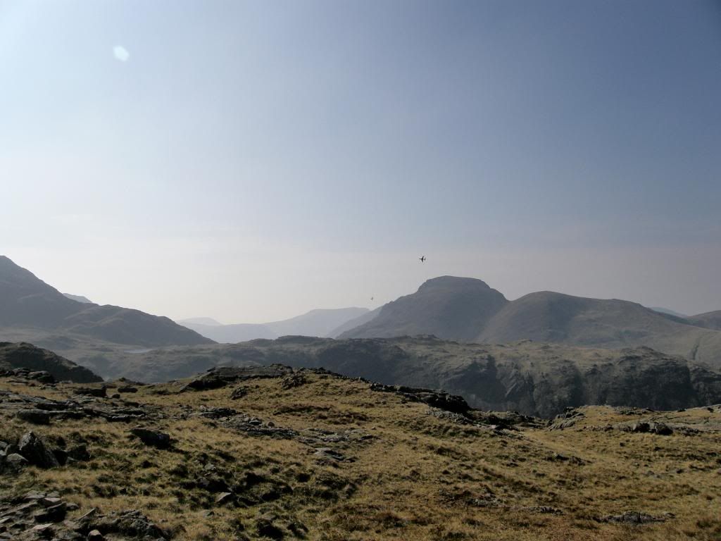
We retraced our steps back across the boulder strewn summit area, passing some old stone shelters to get to the path down to the col between Scafell Pike and Broad Crag. It is generally easy enough to follow the path as the oft used rotes are lichen free and show up as a lighter shade of grey than the surrounding areas, but you have to be careful with your footfall, as it would be easy to turn an ankle up here. We paused to look down Little Narrowcove, a steep sided unrelenting slog that comes up from the Great Moss in a direct line. Onwards from here we walked up to Broad Crag and along the broad ridge which led us on and down to Esk hause. There were a steady stream of hikers to and fro from Scafell Pike, but the further away we went, the fewer people we saw. A couple of jets flew close by and as usual I tried to take a shot, and as usual they turn out as blurry dots in a blue sky – one day I will get a good shot. The views before us changed constantly as we progressed on and we could see many different places that I have been lucky enough to visit over the last few years. As the afternoon wore on the views became increasingly hazy – almost too bright for my camera (operator error probably) and I ended up with a lot of bleached shots. We saw a different side of Great Gable as we moved around and the distinct cone shape of Pike of Stickle came into view to the south west.


Photobucket

The view back to Scafell Pike from Ill Crag


Photobucket

Esk Hause


Photobucket

The changing view of Great Gable – note the two jets


Photobucket

Pike of Stickle on the left and Bowfell to the right


Photobucket

Scafell Pike is more distant now as we head to Glaramara


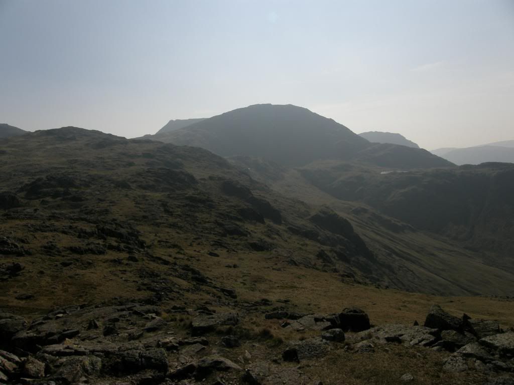
Once we passed the cross shelter it was up to Allen Crags, from where more views opened up over Angle Tarn and down Mickelden towards Old Dungheon Ghyll. Ahead of us lay Glaramara and the cruel false summit route. Every time we thought we were there another crest loomed ahead of us, to dash our hopes – I should have looked at the GPS a bit more. We passed by a couple of older gents, with one of them bemoaning the fact that his pal had told him it only took a couple of hours up here. He had two walking poles but he looked to be struggling and wanted a short cut. His mate who was presumably leading him was getting a bit peeved and started to ask out loud ‘where are we’. So I tried to show him on the map the way down to the shortest route, but he totally ignored me and carried on moaning – b*ll*cks to you then I thought and we carried on.


Photobucket

Glaramara beckons – a false summit hill


Photobucket

The end is nigh – looking down the side of Thornythwaite Fell


Photobucket

Castle Crag appears out of the haze


Photobucket

Looking back up to Glaramara


Photobucket

Just about to turn the corner to walk back to the car


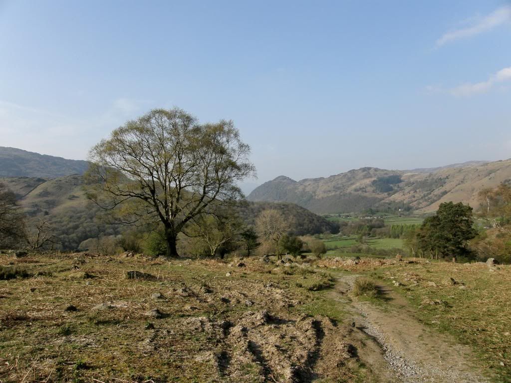
At this stage we had to make a decision to cut short the ridge walk down or carry on down over Thornythwaite fell or cut down Hind Gill to Seathwaite. We chose to finish our walk in style and carry on down from Glaramara, and were awarded with great views down Borrowdale with Skiddaw in the far distance. Ahead of us was a man dressed all in white and we pondered if he was practising an extreme form of Morris dancing and he was making good progress down the fells before us. Castle Crag was prominent in my view, not a high fell but a very eye catching fell and well worth a visit. As we reached the side of the fell the path was steep down to the valley, and Glaramara towered over us when we looked back. But like all good walks we ended up back at the valley floor and had a couple of miles along a farm track to Seathwaite and the car park.


Photobucket

Squinting into the evening sun


Photobucket

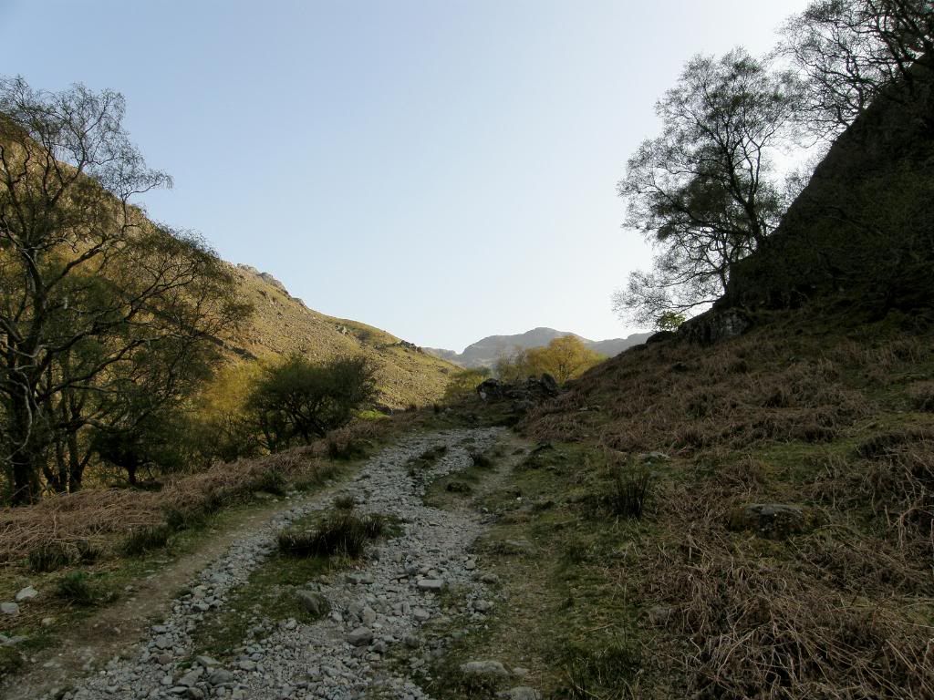
And the farm track home


What a glorious day out which took us 8hrs at an average moving speed of 3.1mph – not bad for a walk with plenty of ascent of 4430ft. Parked next to us on the grassy verge was a caravanette, and as we clambered over a gate we were met with a wonderful aroma of penne pasta with sausages ....yum yum. It was mightily tempting to mug the youngsters of their tea but their Dad was looking on us suspiciously. So with thoughts of food, and water for Graham we set off back down the lane to the nearest shop. Good company, a good walk and great views made it all worthwhile.

Buttony near Wooler


Rocking round the rock art

15th March 2009.

Map: Landranger 75

Weather: Overcast, with a light breeze.

From Wooler town centre out along the road to Weetwood Bridge. Turn up towards the moors and around the road to Chimney Hill. Walk up through the woods to Buttony and then return by the same roads to Wooler : a 5 mile stroll as measured on memory map.

A gentle walk for today, after a visit to Edinburgh yesterday. I stayed overnight at Coldstream, a small town with a nicely refurbished hotel – The Collingwood Arms next to the River Tweed. A nice setting with a fabulous room and bathroom, but the food let it down a little bit – mind you it was a Sunday night and quiet. It was a short drive down to Wooler and the start of the walk, and I saw an astonishing sight along the way. A little north of Wooler the A69 road runs in a straight line, and out of the corner of my eye I saw two deer running along at full speed – well 30mph actually as I slowed the car to their pace just in case they decided to run out in front of me. All I needed was David Attenborough in the back seat for some commentary, it was an amazing sight and they were very graceful at flight. Obviously there aren’t any pictures as I was driving at the time, and it was a good job the roads were quiet. So that was an excellent start to the day before I’d even pulled my boots on. I had wanted to come up to Northumberland again for a while as it has some beautiful scenery and some surprises here and there. After studying the route for the St Cuthbert’s Way in preparation for a walk in April this year, I noticed the abundance of ‘ring and cup’ markings noted on the OS maps in and around the town of Wooler. I searched the web a little and found a couple of sites with some useful pictures and information on, although the exact location of the rock art panels isn’t given. But that was part of the fun searching them out, and after finding one location, I will be sure to give myself some extra time when I am next here to locate some more. As usual when I’m away from home and think that I’m going on a short stroll, I always seem to take my brain out before setting off. I parked up in the centre of Wooler and decided that I wouldn’t need my backpack as I could carry the essentials in my pockets. That would have been fine but the essentials didn’t include spare batteries for the camera or the GPS – what a muppet (again), and I actually had plenty of spares in my backpack. But it didn’t dampen my enjoyment of the day, and I booted up in the car park and set the Satmap going while I got ready.


Photobucket

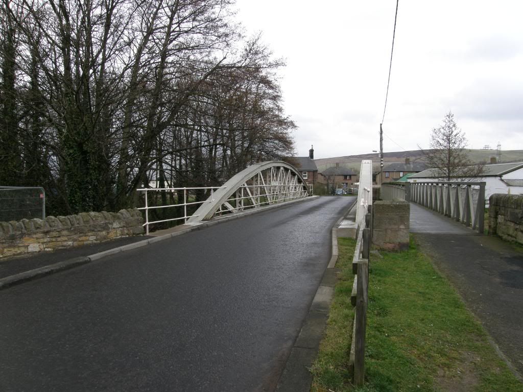
The bridge over the river ?


Photobucket

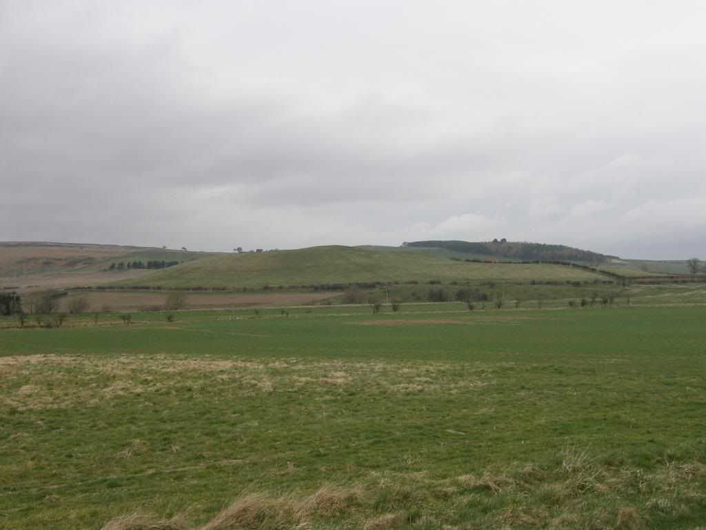
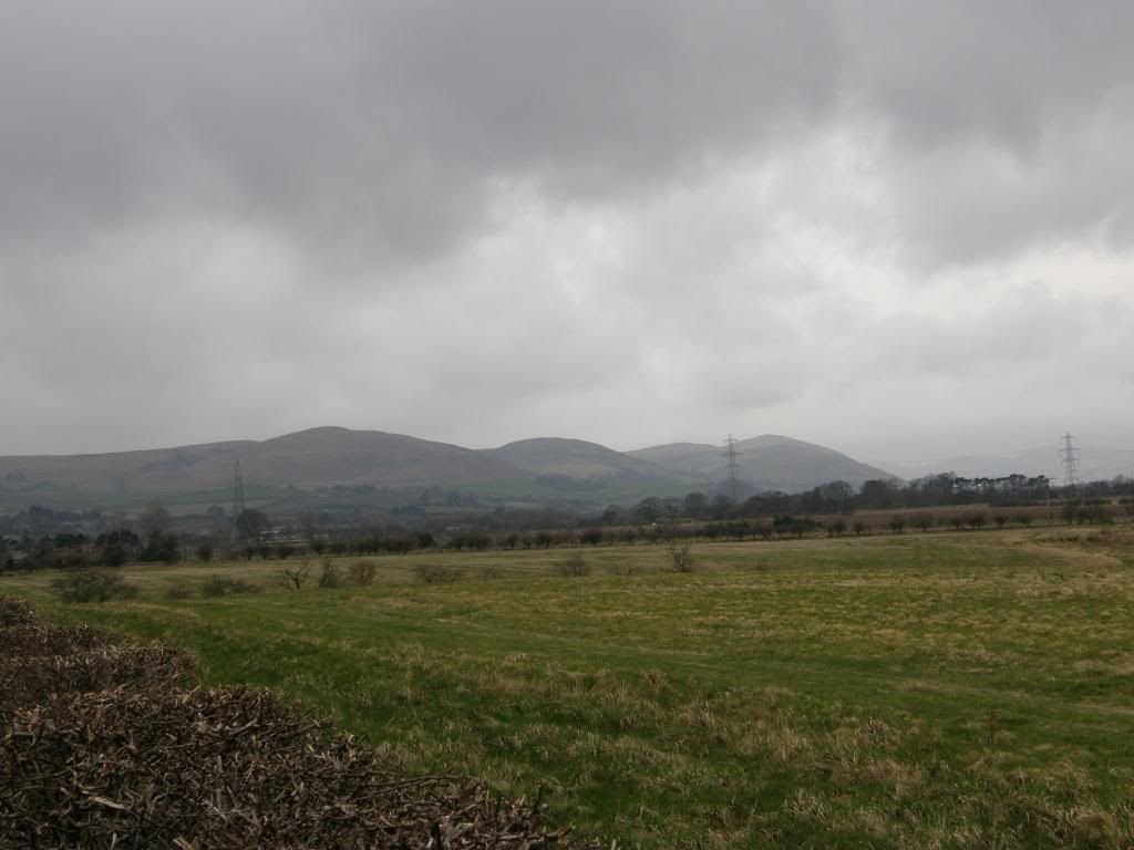
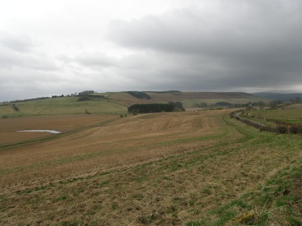
Looking over to Doddington Moor and Buttony on the right horizon


The walk out of Wooler was down through the town streets initially before crossing over the road – and unbeknown to me I was actually on the St Cuthberts Way out of town! That shows how much attention I was paying, and as I stopped to take my first picture of the day, the batteries on my camera gave a low power signal. Luckily for me there was a farm shop across the road that has some AA batteries. Unluckily for me I think that they had been on the shelves since 1945, and that’s not a quarter to eight last night! But I didn’t have much choice, so I bought them anyway, not really thinking about the power draw my camera takes – I’m so used to using lithium batteries now that I take them for granted. Anyway, I managed to get some smarties and fruit pastilles as well, so all was not lost. I crossed over the busy road through Wooler and walked across a bridge on the way to Weetwood Moor to the east of Wooler. The road was fairly quiet but I didn’t have the time to go up over the moor, and the verges were wide enough to step aside when we needed to – not my favourite form of walking but it got me there. I had views ahead of us to my objective and over to Doddington Moor where I thought I would be later on – but I can save that for the end of April.


Photobucket

Looking back to the hills above Wooler across the flood plain

Photobucket

A large flock heading North


Photobucket

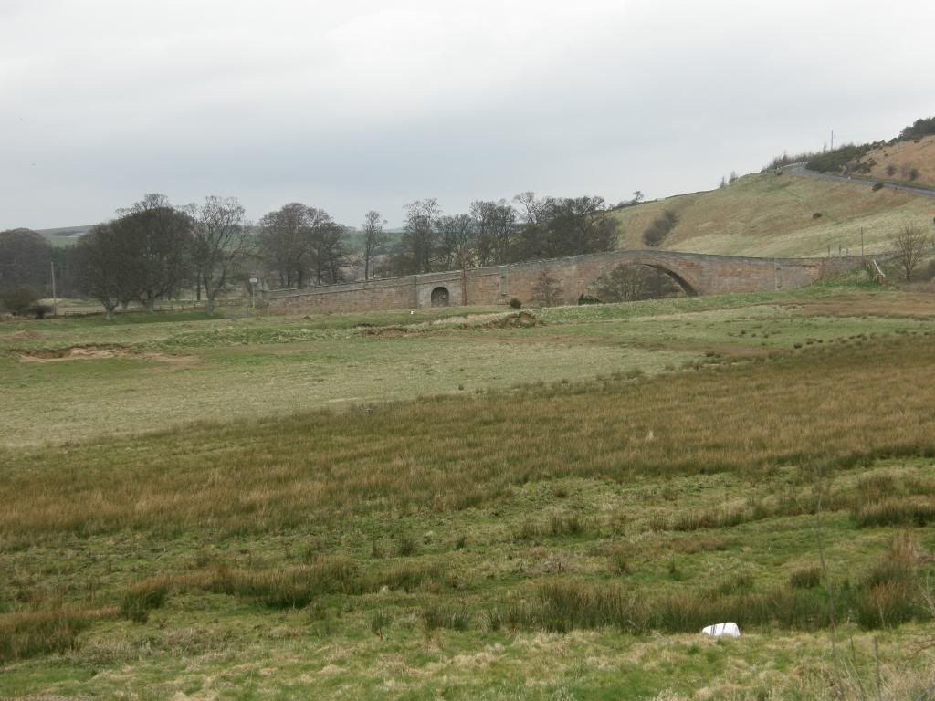
Weetwood Bridge


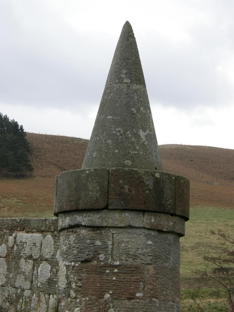
One of the benefits of walking up in Northumberland is that the pressure of population is a lot less here, and as a consequence there is much more wildlife to see all around. In the distance I spotted a big stream of wildfowl flying north along the distant coast of the North Sea – spring was definitely in the air and in the hedgerows. It was nice wandering along beneath Weetwood Moor to my right and I looked out for likely outcrops of rock where there may be rock carvings – I will walk up there when I travel along St Cuthbert’s Way – a bit of a Beano type of name so I will call it Bert’s Way from now on – not in a Sesame Street type of way either. As I approached Weetwood Bridge I was surprised at how big the bridge is over what is a relatively small river. This bridge was one of several large bridges I saw today along this river, and I assume that there was once a huge estate that spread along this beautiful border country. The bridge dates from the 16th century and has been saved by English Heritage – it was suffering from leaning walls and was repaired with a lot of cement. I noticed that there are a couple of plinths that must have housed statues at one time at both sides of the parapets. The ends of the bridge are marked by two upturned ice-cream cones – a splendid sight on a hot summers day, and you can see the tooling marks made by the original masons so many centuries ago. The masonry still leans over at a jaunty angle, and I took the time to turn and look back across the floodplain towards the hills above Wooler and the Cheviots, a little weighed down in low cloud but still looking inviting, and away to my right on top of Weetwood Moor the earthworks of an iron age fort could clearly be seen from below.


Photobucket

Any one for a 99?


Photobucket

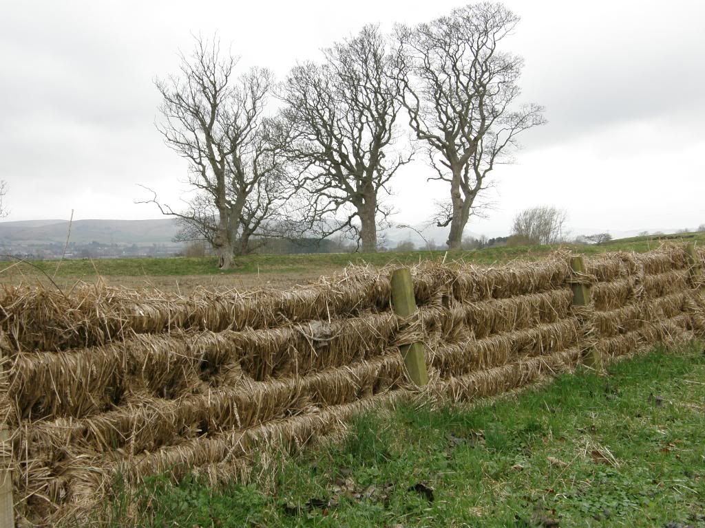
Wind blown debris garnishing the barbed wire fence

Photobucket

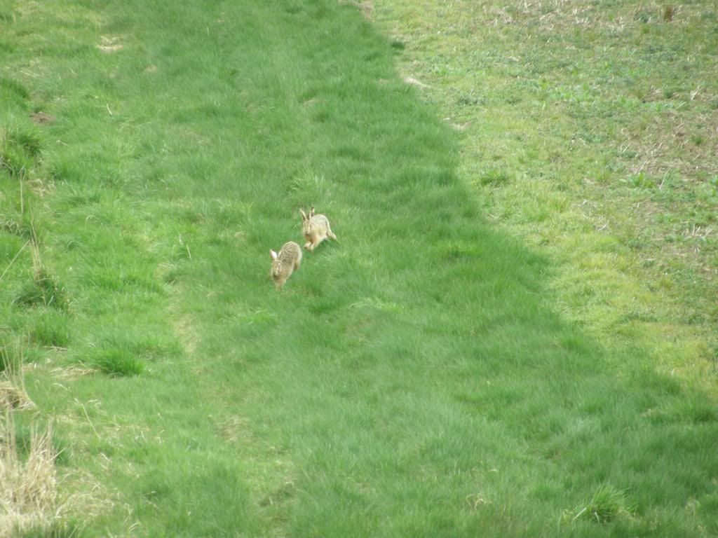
Hares doing what hares do


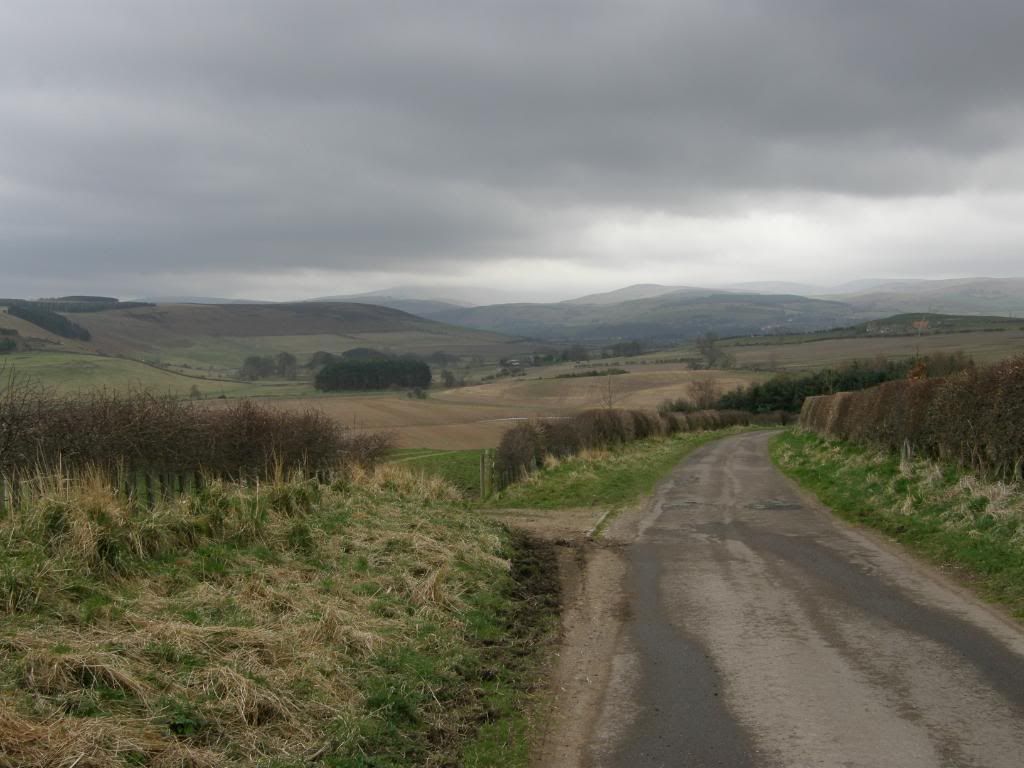
The road was now very quiet and only a little farm traffic must travel along here. The fences were hung with wind blown hay from stormier days, looking like some crazy basket weavers day out. I was still on Bert’s Way and this was shown by some small marker posts set into the verge – blink and you would miss them, so I will have to take care when I walk this way again. The wildlife beyond the hedgerows sprang into life as we walked along the lane, and watched a couple of hares haring down a steep slope, ducking and diving like Frank Bruno at his best. They seemed oblivious to my presence on the other side of the hedge and carried on cavorting around the field for several minutes. A little further along a Barn Owl swooped past me in slow motion, resplendent in his white plumage. I saw him again sitting on a driveway about 50m further on and he took off once more to have a rest down in the woods or a barn I suppose. I paused to look back at Weetwood Moor and the Cheviots in the distance smothered in low cloud, and to the south was rich arable farmland, with spots of woodland dotted between fields here and there. Above the hedgerow to the north I could see the likely location of the rock art and my step quickened in anticipation of what was to come.


Photobucket

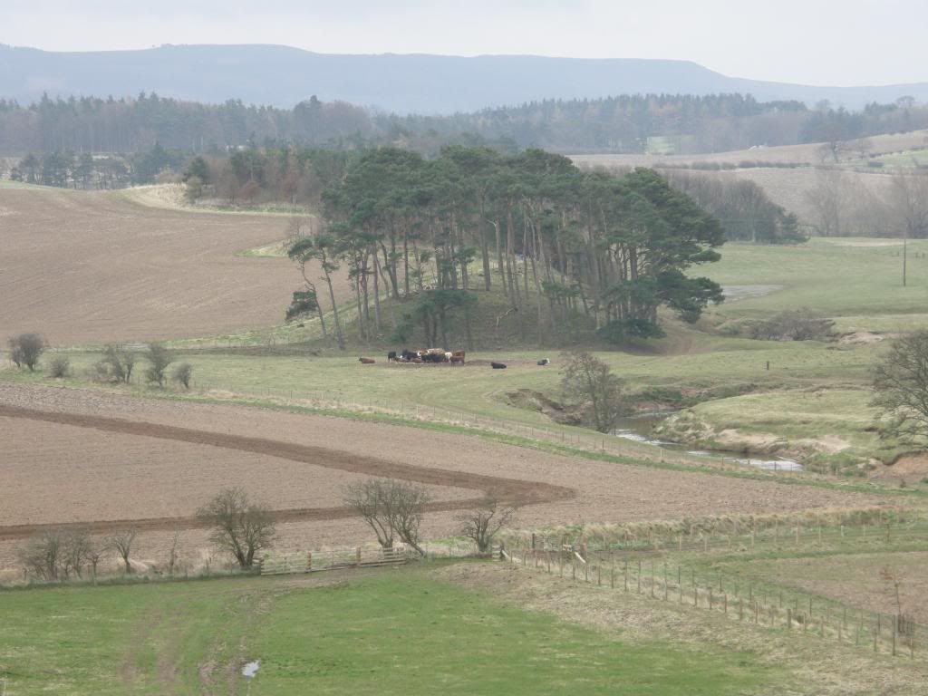
Looking over to Weetwood Moor - earthworks in centre on the horizon


Photobucket

Rich farmland amongst the rolling countryside


Photobucket

The Cheviots in the distance


Photobucket

Looking up to the location at the brow of the hill


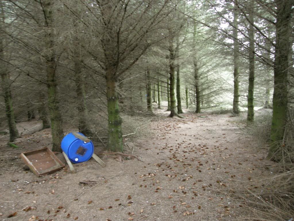
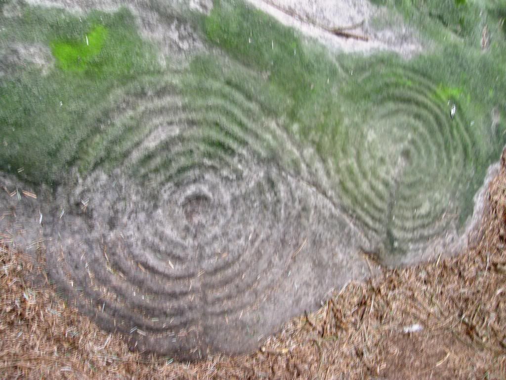
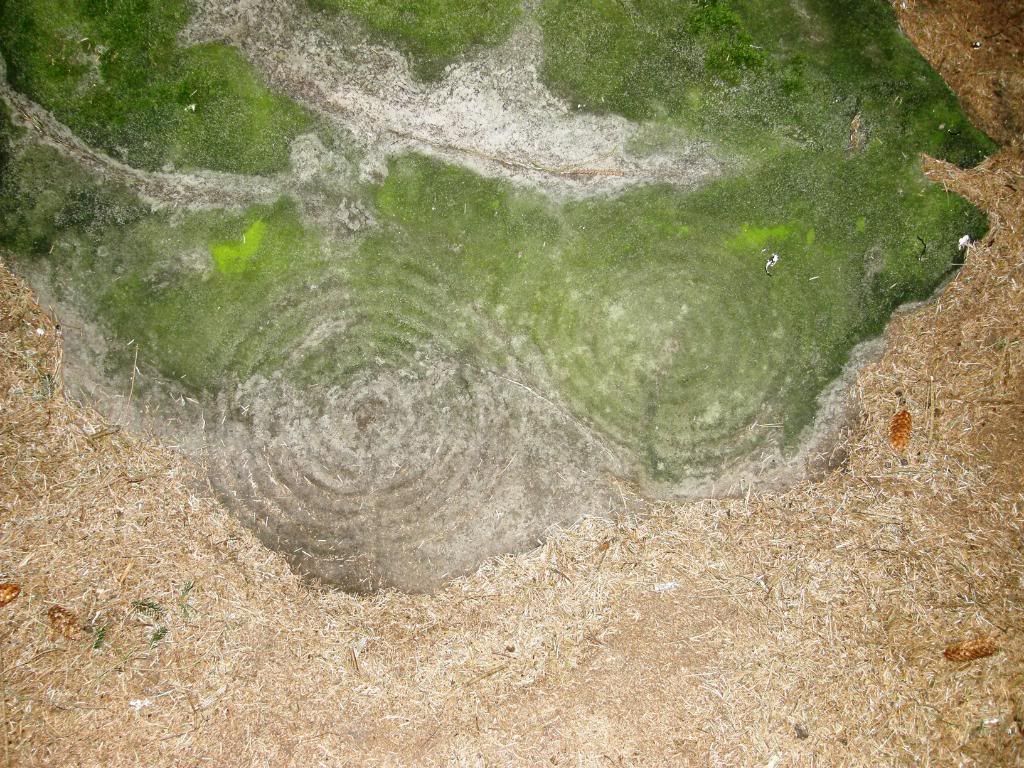
Soon enough I reached the farm at Chimney Hill and the route took me north up towards the east side of Doddington Moor. There were some huge cattle sheds full of steaming cows chewing their way through a mountain of hay – I guess it was still too early to set them out to pasture, or maybe the grass isn’t growing strong enough yet. The hills here are gently undulating and aren’t very steep or very high, just enough to give you a good view of the surrounding landscape at all points of the compass. After following the farm track for about ½ mile my route took me back towards the west uphill passing a small forestry plantation. Up on top of the hill I looked at every rock outcrop I came across to see if I could spot any signs of ancient scribing, but didn’t see anything. As the path departed on towards Doddington Moor, my GPS took me off path along through a patch of gorse – very spiky – and on to a small wooded enclosure. At this point I must tell you that this location is off the regular path and if you come up here at certain times of the year you may not be able to access the area because the owners use it for feeding up the Pheasants prior to setting them free to get blasted by a few hooray Henries. But this time of year it was OK and there wasn’t anyone around to tell me otherwise. I knew from the internet search that the rock art was some way into the plantation, but didn’t know exactly how far. I had added a ‘point of interest’ to my Satmap and what happened to the batteries before I had got there? You already know, and it was just as well that I was nearly there – I managed to cobble together enough good batteries to get me some pictures thank goodness. About 50ft inside the plantation and just off the main path through is the first of several pieces of rock art. When I first saw them it is a special feeling that you get knowing that they are about 5000 years old. I tried to imagine what it would be like if the plantation wasn’t here and the views were uninterrupted.


Photobucket

The Pheasant plantation wood


Photobucket

I'm sorry that they are so blurry - there were tears in my eyes!


Photobucket

Slightly clearer - the rings are each about 20" wide


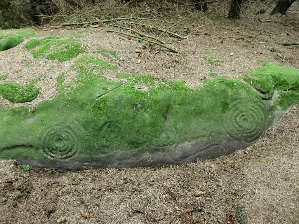
All of the cup and ring marks are on the south or south west side of the rocks, and without the trees there would have been clear views across the valley towards Weetwood Moor and the Cheviots beyond. It would have been a nice place to sit doodling away with a big lump of rock all those years ago – but then again it was probably more densely wooded back in the Neolithic than it is now. The art is heavily mossy in places, presumably from people wetting the stone to get a better picture of the rings. I tried my best but didn’t get many satisfactory shots. A little further on form the first circles are some that can be seen in a better light – in situ as it were, chiselled into a rock face. I scraped away some loose pine needles and stepped back to stand and stare for a while, and as I said previously it does provide a moments contemplation.


Photobucket

The main panel - no moss where I have moved some pine needles


If you’d like to see some better pictures, and some more information have a look here - http://rockartuk.fotopic.net/c822531.html and for sites all over the UK have a look here http://myweb.tiscali.co.uk/celynog/index.htm . Once I had seen all I had come for, I made our way out of the woods on the north side and out into the fields. As I was literally powerless and now mapless, I had to abort a planned walk across to the crags on Doddington Moor to see some more rock art panels, and turned around the corner of the wood to walk back down to the road I had come along from Wooler.


Photobucket

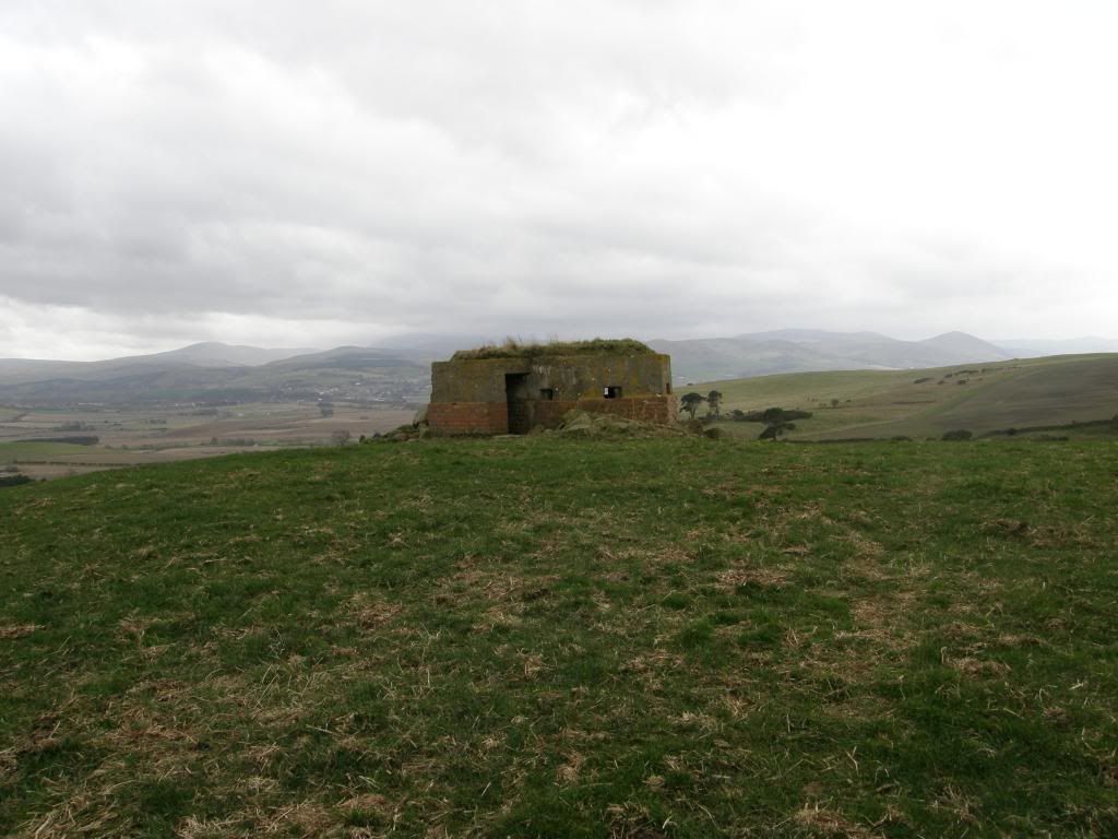
The pill box overlooking Wooler and the Cheviots


Photobucket

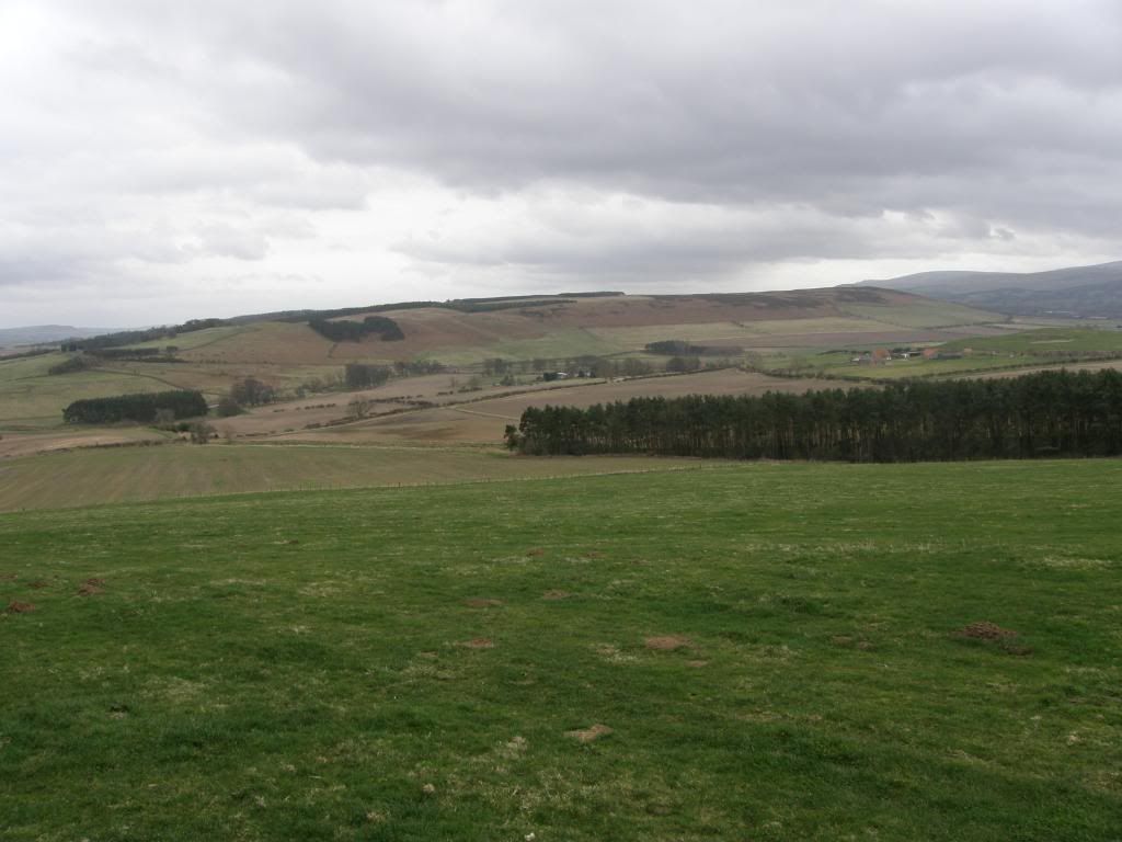
Back down the fields to the road


Photobucket

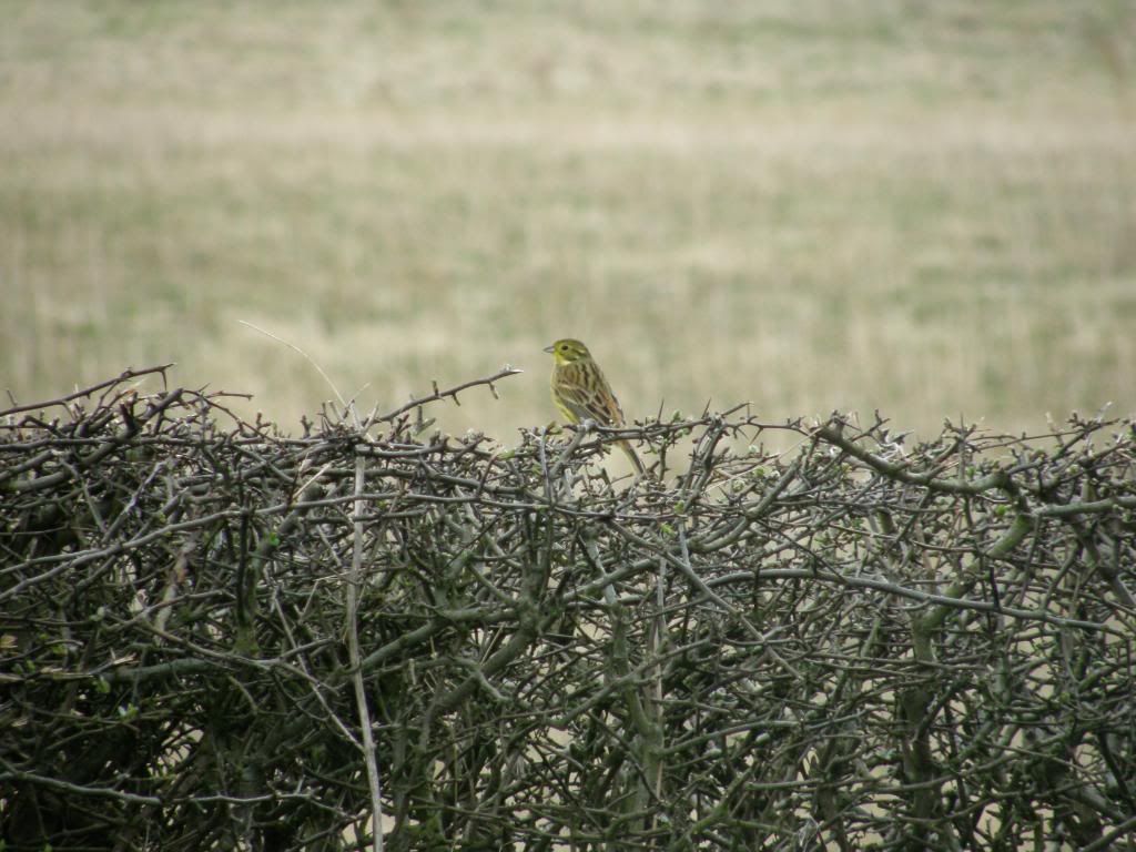
A Yellowhammer posing nicely for me


Photobucket

Daffodils looking pleased to see me


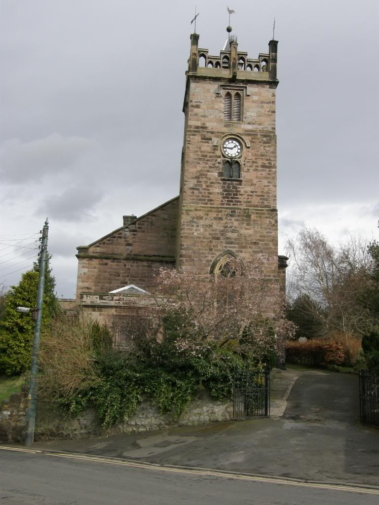
There is an old WW2 pill box made of brick and concrete stood on the hill facing over towards the Cheviot Hills – not a bad vista for the Dad’s Army to ponder their shifts away. I made my way down along the field boundaries and regained the road via a field gate, and then back down the route I arrived by. More birdlife flitted in and out of the hedgerows, and near to Wooler the bright yellow Daffodils bowed down towards me when I walked by. After crossing over the main road, I made my way up to the high street, passing by the parish church, and found a nice tea shop for some late lunch. I sat and reflected on the morning and the cup and ring markings, and felt strangely peaceful – well it was a nice cup of tea.


Photobucket

About Me

My photo
Enjoying life. Work in Norway, walk anywhere.

Followers