Cnichty Knacky Noo- A ridge walk up the Welsh Matterhorn
11th December 2007.
Map: Landranger 115 & a bit on Landranger 124
Weather: Sunshine, with low cloud on the top, but no rain.
A ridge walk to Cnicht, around the col of Cwm Croesor, up to Moelwyn Maer and down to Croesor: 10 miles – as measured with the cord of my new Silva Compass – not very accurate but better than a soap-on-a-rope cord.
Copyright OS-Click on map to enlarge, then hit the back button to return to blog
I came back from
I reckon the best time to do this walk would be in spring when high pressure is over the country, and no rain for the previous year – it was a bit boggy in places. The views on a cloudless day would be spectacular, and you wouldn’t get the heat haze of summer. There is a small garden nearby called Plas Brondanw - This Italianate garden was created by Sir Clough Williams-Ellis, architect of Portmeirion village – he needed to practice first! Make time for a visit, it’s very peaceful.
The Cnicht from the village – up the left side, across the back, and up the right!
The
Quickly past the village a path climbs gently through some woods, enough incline to warm up the legs and kick start the lungs – enough for me anyway. Once out of the woods you are on the start of the long ridge up to Cnicht (Welsh for Knight. I thought it meant steep b$&^*@d). The initial climb is relatively easy going, and as I stopped to take pictures periodically I was always able to catch my breath back. I borrowed my daughter’s camera to compare to mine – more about that at the end.
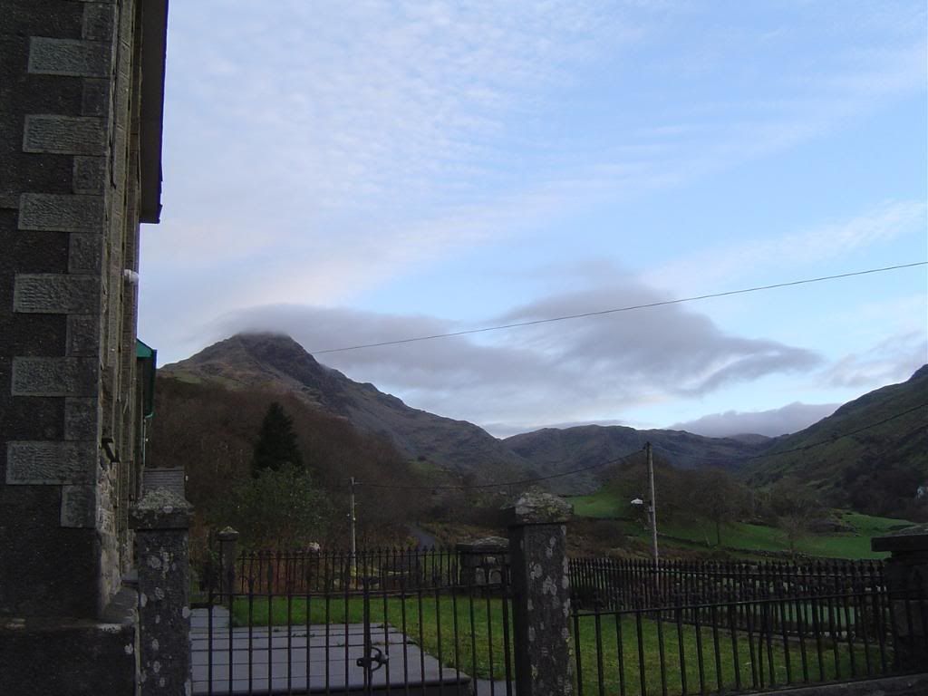
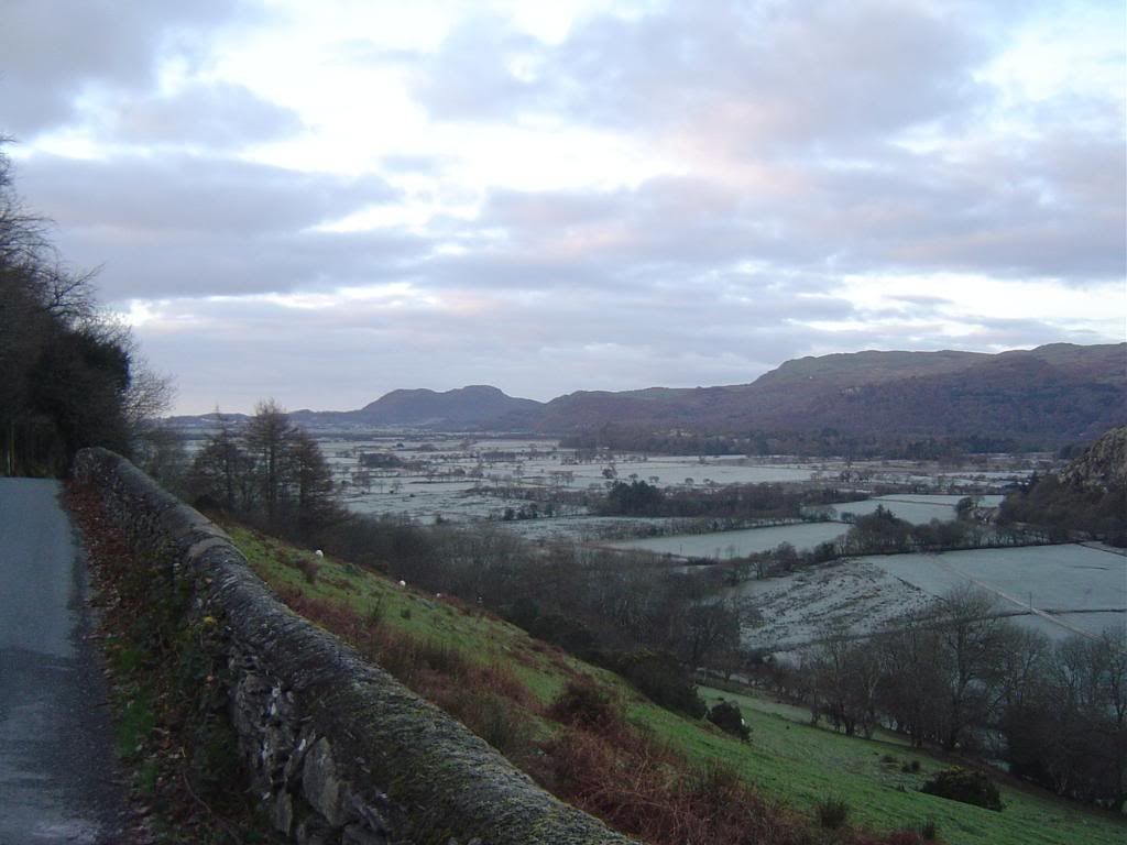
The views to the North were good early on with a little low cloud around the hill tops, which was a taster of what was to come later. The low winter sunshine gave me some good pictures today, and it was difficult to choose which ones to include, so I’ll put in more than usual. The views to the top of Snowden were obscured by the cloud base but it loomed dark below the mist. There wasn’t any wind to speak of today which is unusual for a higher level walk, and also a sign my diet is improving. Looking back down towards the Traeth Bach estuary the ground was white with frost, which was good news for me as the boggy sections had a nice firm crust which saved me from a soaking in the morning.
Frosty fields from the road to Croesor
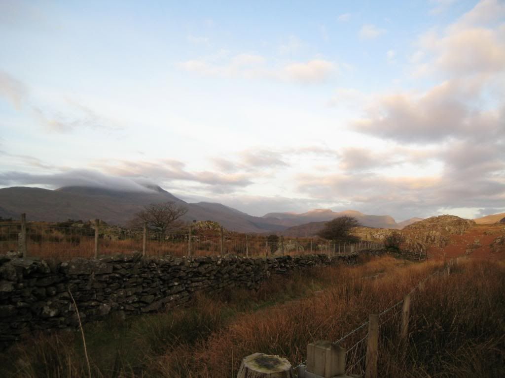
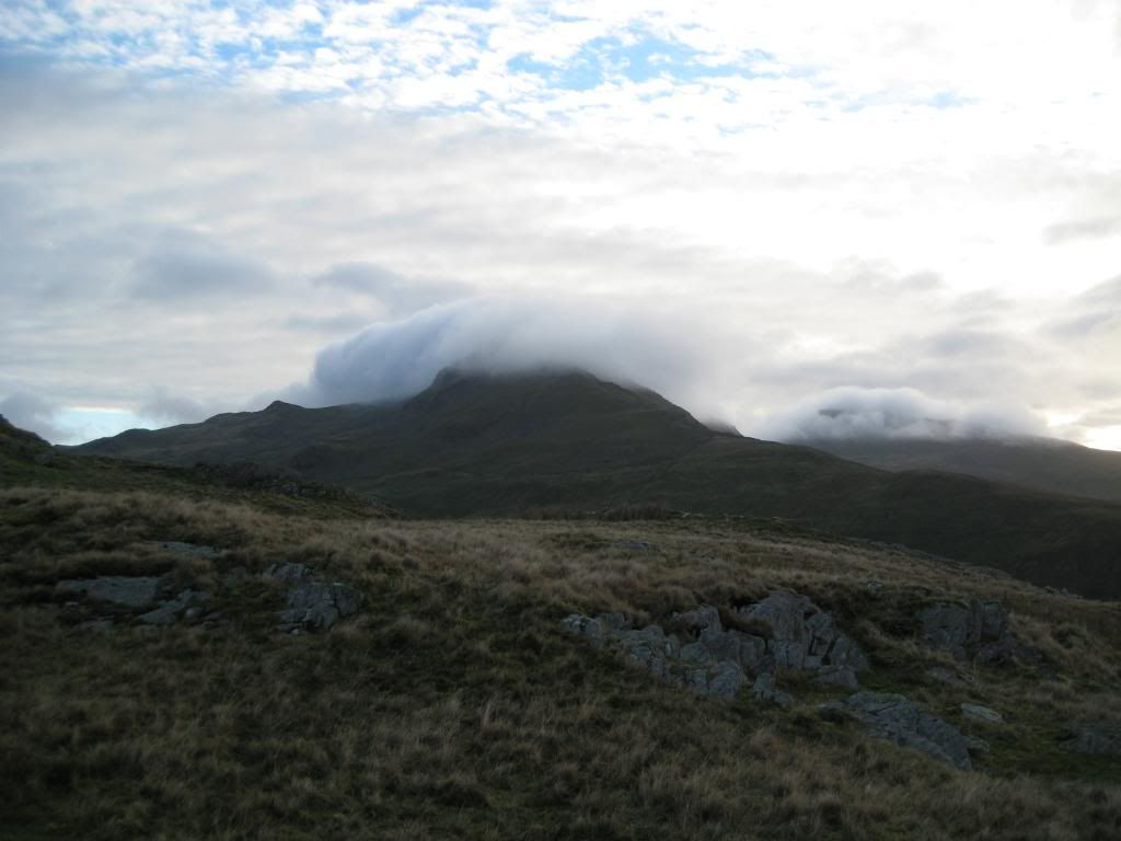
Looking up to the Cnicht, and back down the ridge to the estuary gave me two very different feelings of Wow. Wow isn’t that a bit steep? And wow what a fantastic view that altered as the morning progressed. Such a fine light in the winter sun, and the only frustration of the day was at the top of the ridge, where I couldn’t see too far. As I gained height towards Cnicht, the profile of Moelwyn Mawr was ever present. Early in the day it was wearing a rather fetching toupee, which thankfully had been blown away in the afternoon. In between was the deep, quiet
Moelwyn Mawr with baldy Moelwyn Bach behind
As the ridge climbs away form you, you pass the last drystone wall and the ground becomes steeper, with more outcrops of Slate. The path is indistinct in places and you can take a variety of different ways up. The main path has slate that has been crushed by feet over the years, but the ridge is narrow enough to keep you along it’s spine for most of the way up. The vegetation was mostly sheep cropped, with clumpy festuca away from the path. The mossy boggy areas marked by reed beds were easily avoided, and I had dry feet for most of the morning. The wildlife was limited today, not many birds in flight, but the sheep were omnipresent as usual. Higher up the slopes it became easier to climb as the ground was steeper across the cleaved Slate, it was like climbing a never ending set of steps….except nobody was shouting “Your tea’s ready..”
Most of my view was now dominated by the Cnicht, as I’d lost the will to look at the higher Moelwyn Mawr to the East of me. There were a few false horizons and the summit looked more impressive the further along the ridge I climbed.
Am I there yet?…shut up and keep walking…am I there yet?…shut up etc
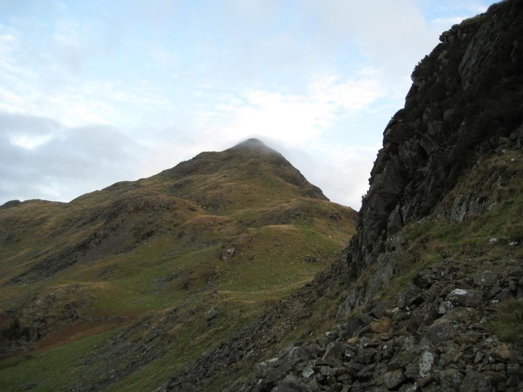
You can see from this picture that just before the top you can veer around to the left if you don’t fancy the scramble to the top, or veer right and clench your cheeks as you scramble up to the summit…don’t look down!! Once I was past this big lump in the foreground, and reached the next knoll, the sun came out and I snapped what I thought was the best view of the day, with the long ridge snaking away below me. Bathed in low wintery sunshine, with the deep
Looking down the ridge to Traeth Bach Estuary
But as they say, it’s onwards and upwards. Huffing and puffing away I steadily made ground, and took more pictures…
Looking
Unfortunately I could see the cloud persisting around the top of Cnicht (and behind) so the best views were denied me. But then I really would have been stumped on which ones to include.
Hello…now you see me…soon you won’t
Close to the top there was a steep rock face which was easily avoided to the right, initially on a path and then up a rock runnel with Slate handholds. As long as you lean into the hill it is reassuringly step like. Just make sure you have a good hand hold if your legs are feeling a bit tired. I couldn’t see down, so maybe my heart would have beat a little faster had I a view to the valley floor far below. It took me about 1 ½ hrs to reach the peak. It would have been a bit longer in warmer weather, but I still managed to keep the inside of my jacket moist! I wore a thermal layer that wicked moisture away from my torso (lardy interior), with a thin pullover, covered with my BergHaus jacket. That was enough to keep me warm, but not enough to generate too much heat. When I reached the top, I pulled out my fleece, zipped up to neck and pulled hat down over ears – a bit of mist does cool you down..
The top…path to the right below, then up and away…
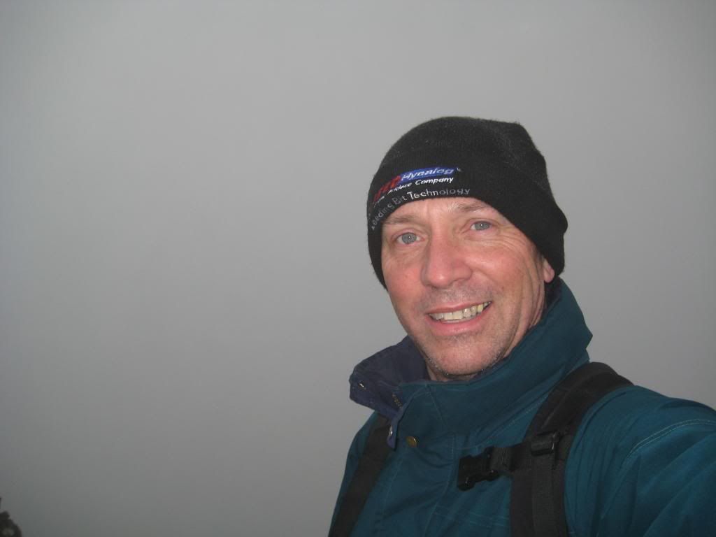
On the top…honestly
I had a bit of a poignant moment after I took this as I saw someone had had their ashes scattered up here, and a single red rose laid by them. A fine resting place, and a reminder that life is for living not eating pies all the time!!
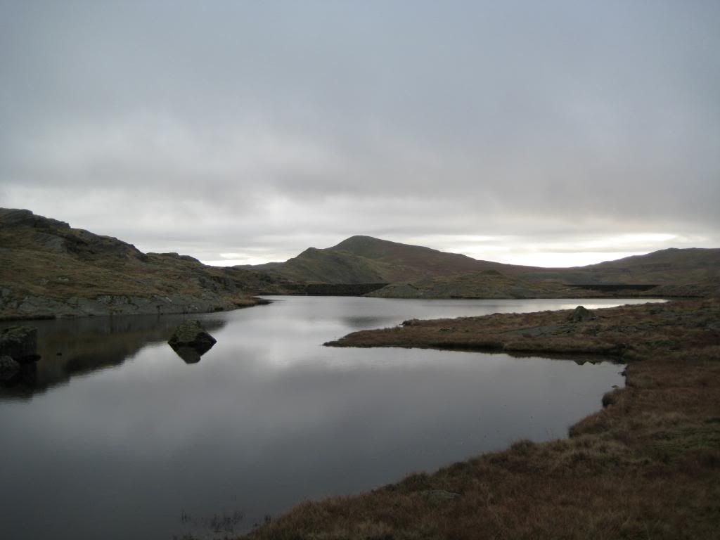
After a bit of refreshment, Mulligatawny soup today, no rolls as I could have ended up where I started, I continued down the ridge in the mist. Gradually I dropped below the mist and spotted a couple of lakes that told me I was on the right track. The going was easy, and as I reached Llyn yr Adar (the lake of the birds apparently) to my left, a cairn marked the spot where two paths crossed and I turned toward a south west heading. The vegetation up here is very limited, typically mosses and sedges, that make for good walking but boggy for the unwary. The path towards my next way mark – Llyn Cwm Corsiog – was very indistinct, so care should be taken not to wander too far down the slopes. Make sure you keep the three lakes/dams away to your right. You may need to scramble a little if you go off track but none of it cannot be passed by retracing your steps if necessary.
Lunch is served by Llyn Cwm Corsiog – full of Brown Trout probably
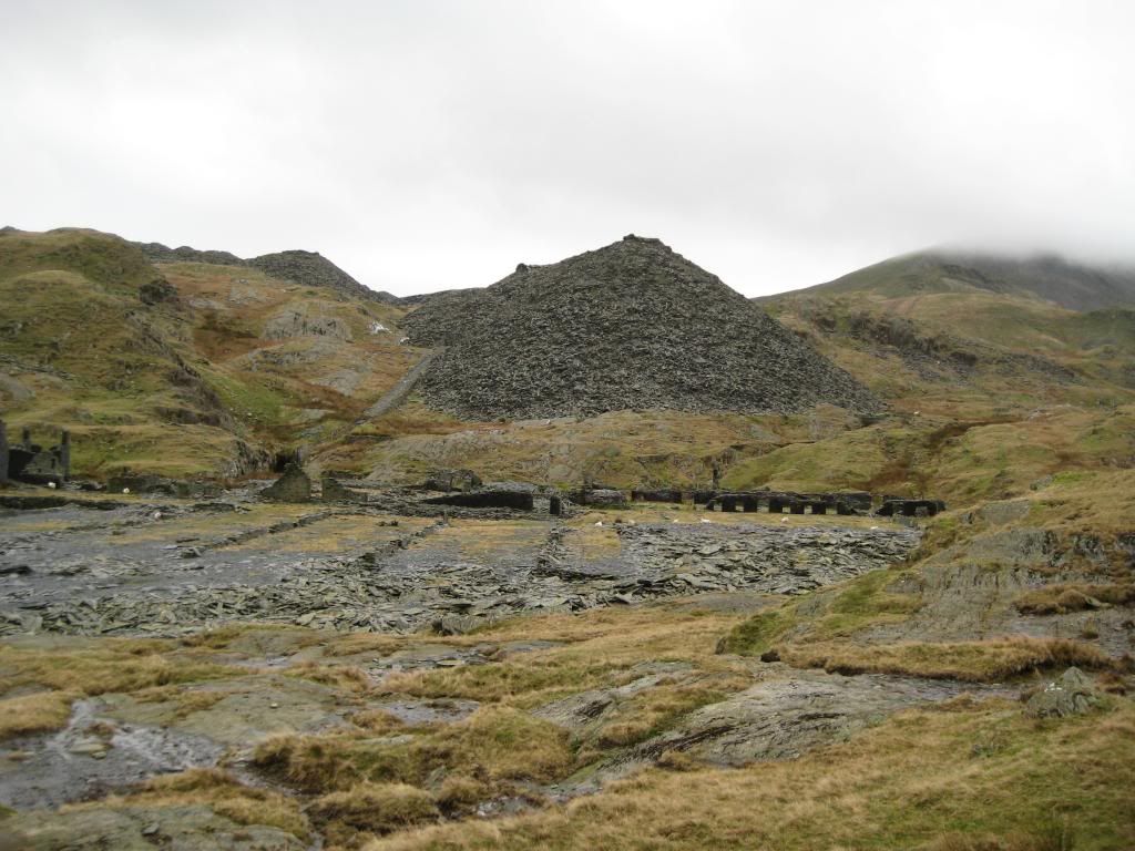
Don’t cross the dam wall (like I did) but continue down the valley towards the old slate workings. Be careful of your footings, it is boggy in many places. All around can be seen the relics of an industrial age gone by. It marks the halfway point along this walk. Take some time to look at the sheer scale of the buildings, and Slate spoil heaps. Enjoy the steep sided valley that falls down into Blaneu Ffestiniog far below, then enjoy the quiet that is with you now. Pick your way across the abandoned Slate waste and through the buildings, and make for a distinct path up through the Slate spoil heaps – how many tonnes of Slate do these hold I wonder. There is a wall holding back the waste to your right as you ascend the trackway. Quite intimidating in its own way, but it has been at rest for many a year now and is unlikely to move much more. As you ascend your way will become clear and after passing a few more derelict buildings, the path up towards Moelwyn Mawr can be seen ahead of you.
The old workings at Rhosydd Quarry..Moelwyn Mawr beckons..
The climb up to the trig point is strenuous but is mainly on a well defined path that has been walked so many times that a series of steps helps you along the way. As you progress up the hill the views become more spectacular. You can take some satisfaction of the route taken up to the Cnicht and see the final climb that was made in misty weather.
The summit looking across to the Cnicht
The top of Moelwyn Mawr although grassy is a sharp enough ridge to give those with a touch of vertigo the feeling that maybe you should sit down and shuffle along a bit. I would be a bit wary of being up here in strong winds. The views were superb to
Take care down to the col below or you could end up scrambling…like me!
Once you have made it down to the valley below, it is almost an anti-climax as you trudge along through boggy, mossy tracks that sap the energy and don’t allow you to get into a proper stride. Needless to say I ended up splodging along with one wet foot and one dry. I continued down to a small woodland and walked along the stream bed which was dryer than the surrounding mud. You can cut your walk short here by cutting back on the road to Croesor or continue on through the woods down to Tan Lan, before cutting back along the disused railway track – more industrial heritage. Back in the village car park I tried the café but it was closed so settled on a quick roll….well no one was watching. What a fantastic day. It took around six hours, so make sure you have enough time to soak up the surroundings on your way. Enjoy it…I know I did.
Warning note for those with a nervous disposition…some parts are steep and a little intimidating, but it is not as harsh as it appears. There is a little scrambling but it is very accessible, and I didn’t feel in any sort of danger as long as I was aware of my surroundings. But do take heed of any weather warnings, it would be very easy to lose track on the top. Make sure you have the skills to read a map and compass.
Moelwyn Mawr to the left, Moelwyn Bach to the right
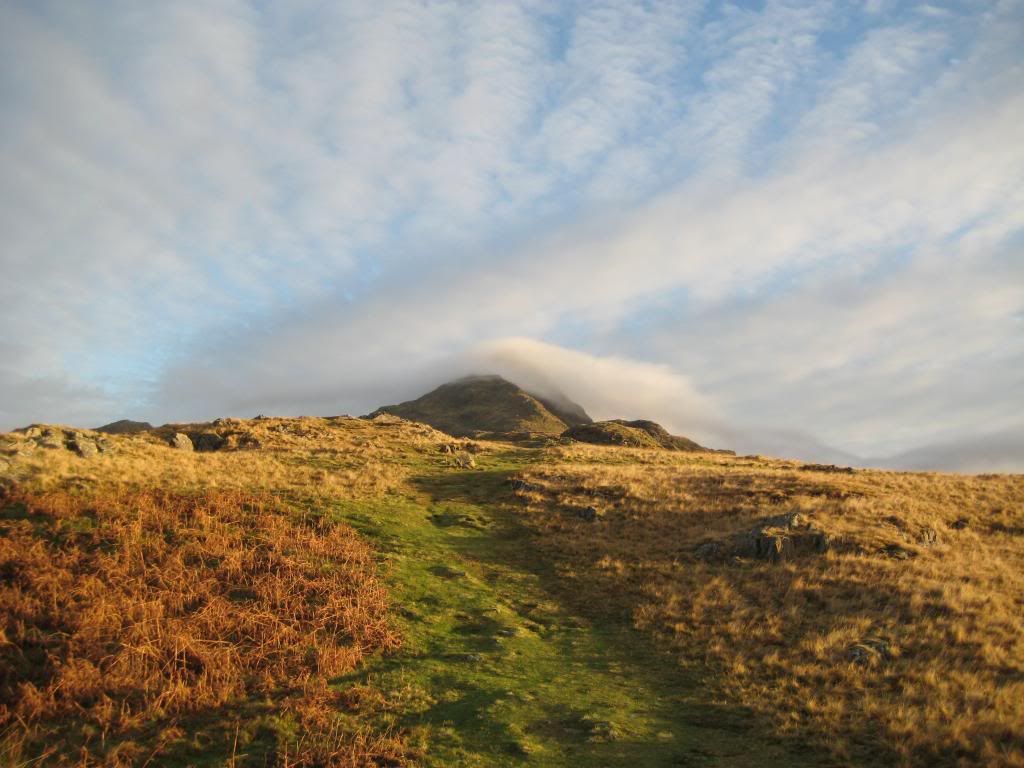
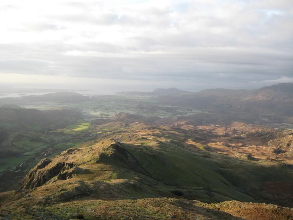
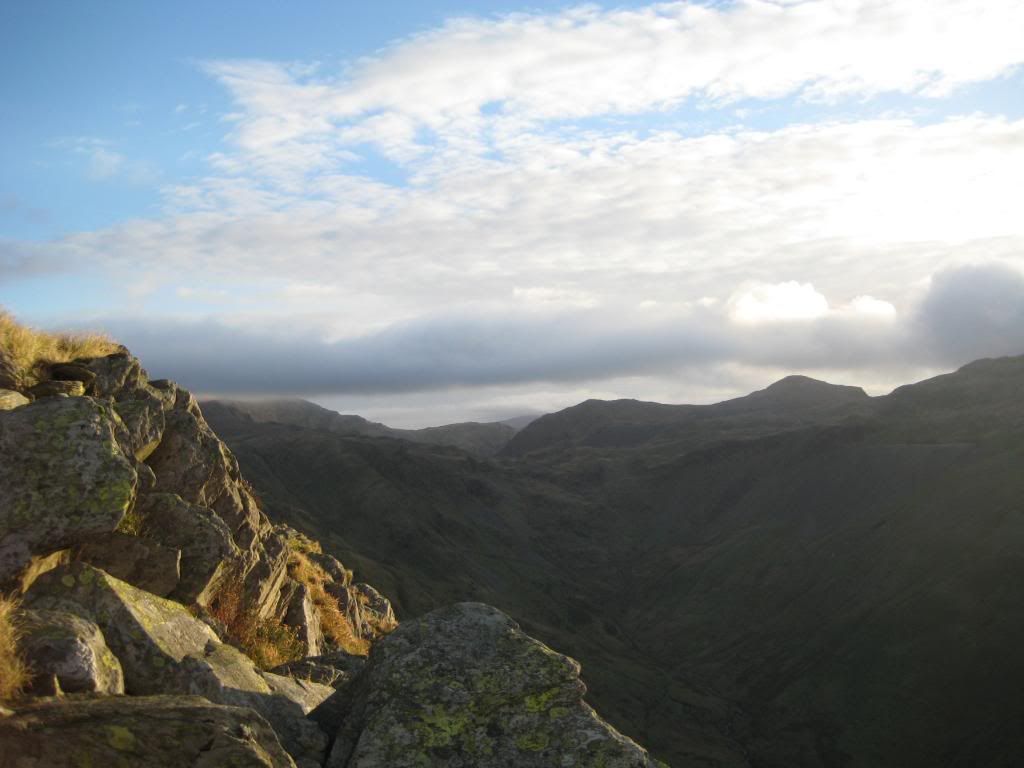
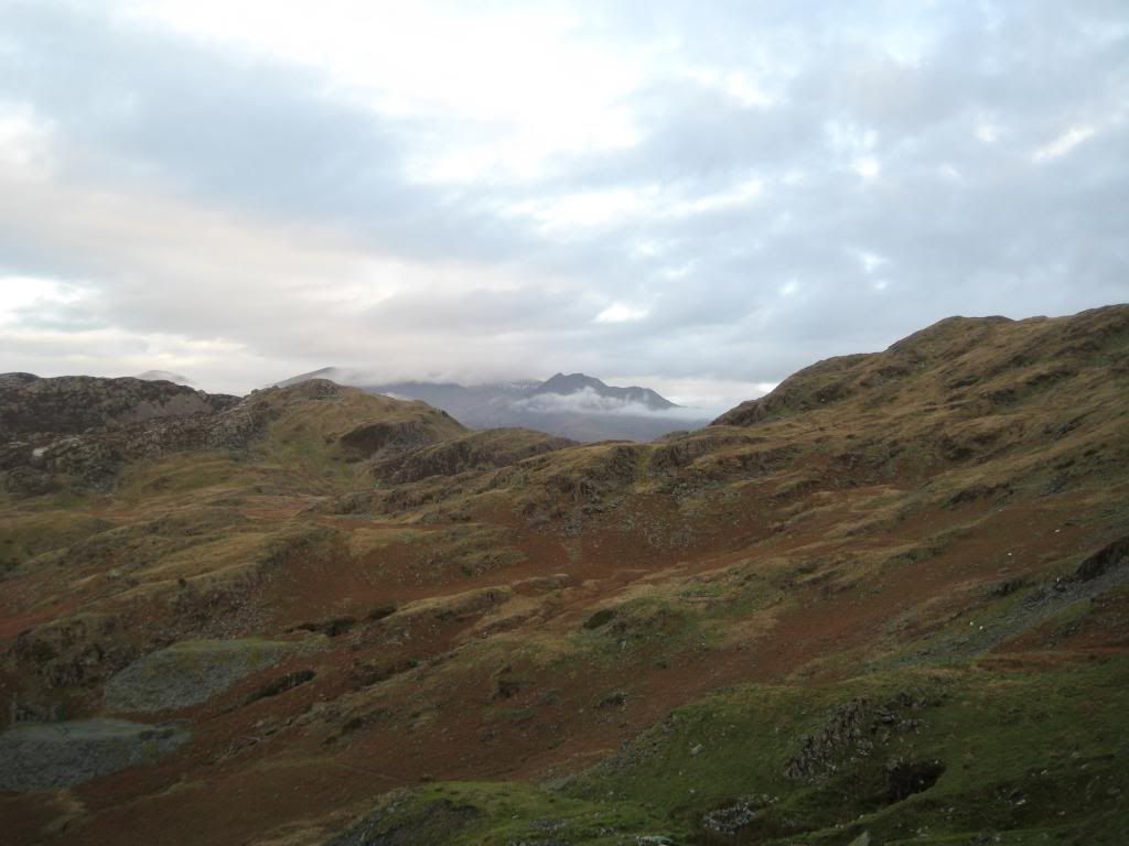
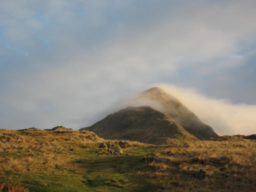
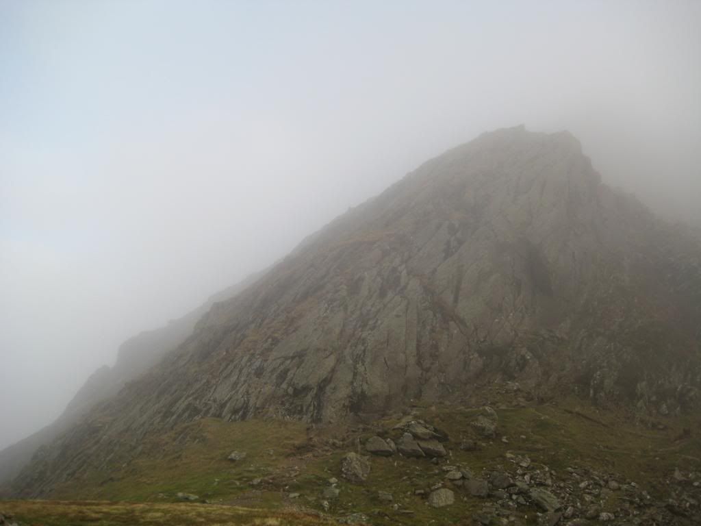
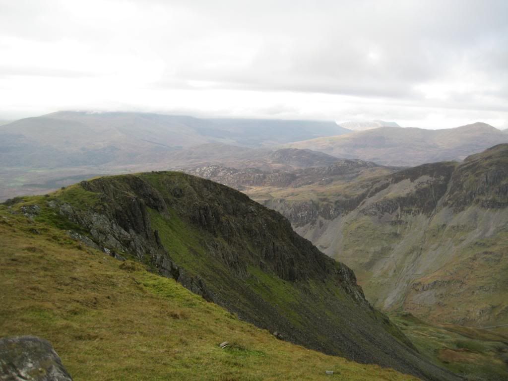
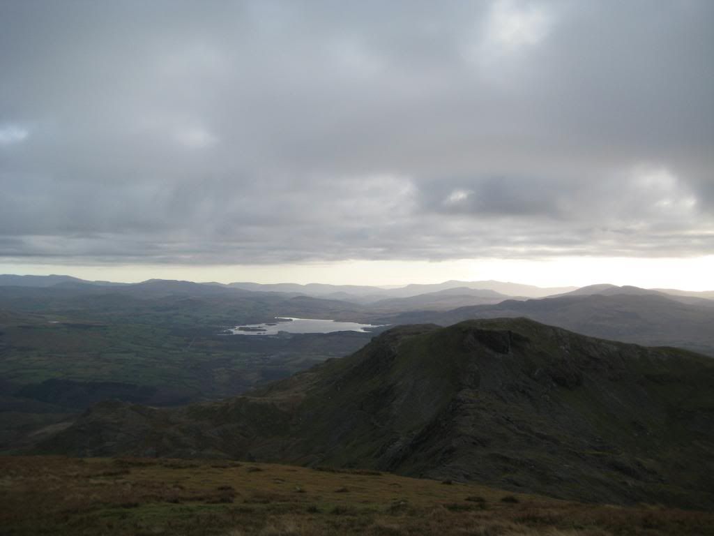
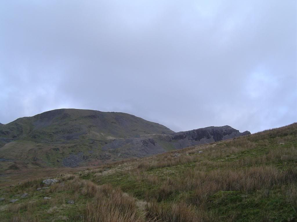
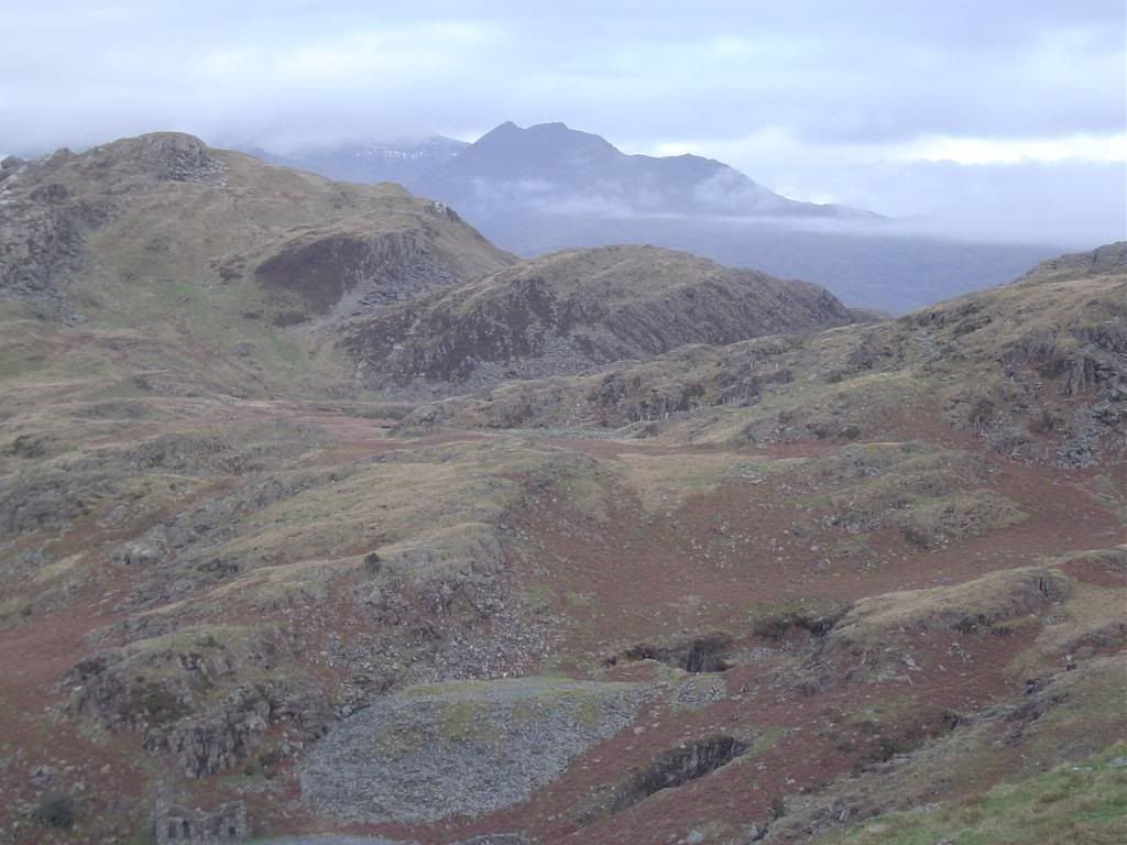
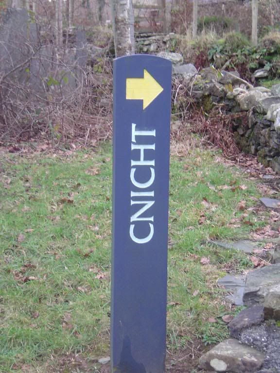
I’ve included a few more pics of the Cnicht for your enjoyment..
I had two cameras today – my Sony Cyber Shot which was set at 580kb per JPEG, and my daughters Cannon Ixus 70 set at 2mb per JPEG. I was pleased with the results from both. I think it was mainly the winter light conditions that helped. Obviously the 2mb pictures were generally of better quality, but the Sony pictures did give good results. Also one thing to remember in the Welsh valleys is that occasionally some RAF jets will come screaming by, below your feet if your high enough – try not to fall off.


No comments:
Post a Comment