Delightful Dove Dale
24th January 2008.
Map: Landranger 119
Weather: Sunshine all day, cold in the wind.
A pleasant stroll from
Copyright OS-Click on map to enlarge, then hit the back button to return to blog
Before I start can I say that this walk is better in summer when the sunlight can reach the valley floor. If you come in May you will see the well dressings that take place in many Peak District villages. But for today the weather forecast was reasonable, and I knew that most of the paths covered would be reasonably dry.
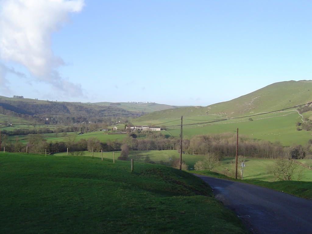
The Manifold valley looking east towards Ilam
When I drove through Buxton with rain sleeting down on the windscreen, I wasn’t too hopeful of a good day But as I drove towards Dove Dale the sky cleared, good old BBC weather forecast. I parked up in Ilam village next to the
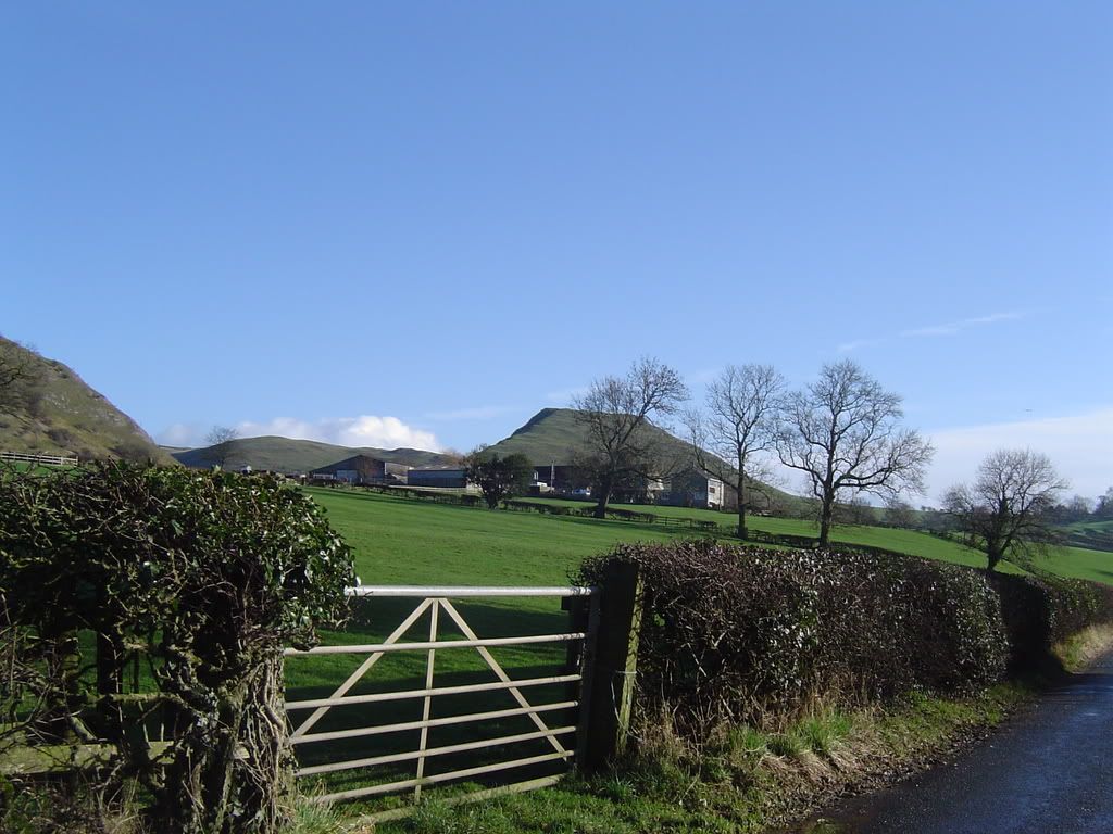
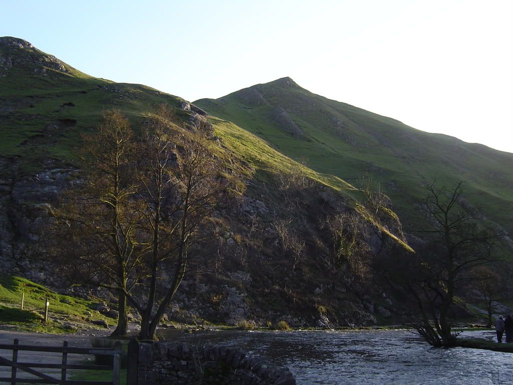
Thorpe Cloud at the entrance to Dove Dale
The first thing to notice is the measuring station, where the river falls over a weir, and constantly monitors the flow. There is also an information board which is worth a look as it gives you some background on Dove Dale and its surroundings. The quote from Byron 1798 says “There are prospects in Derbyshire rivalling those of
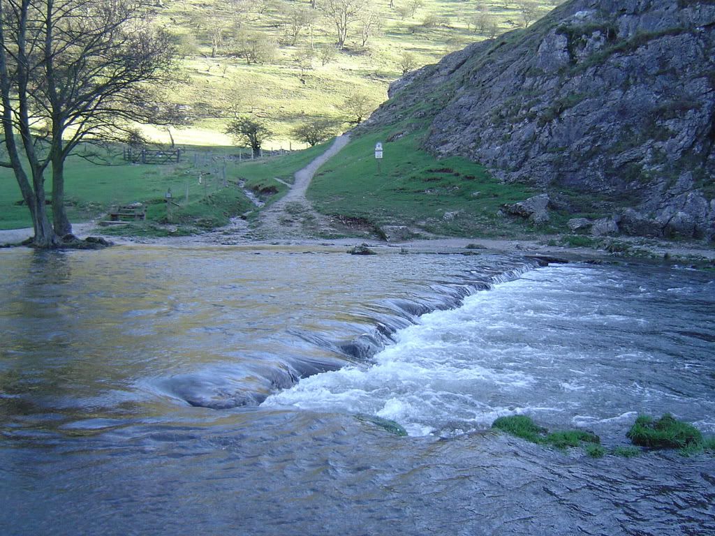
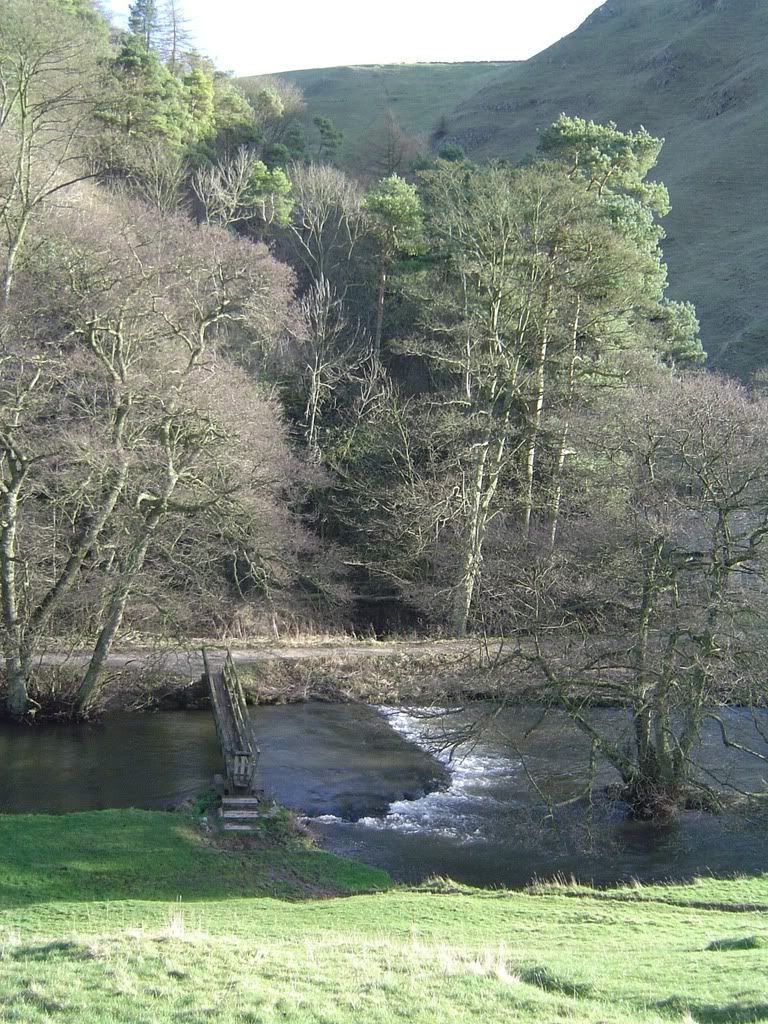
There are 2 pathways from Dove Dale car park, the left pathway takes you up to the stepping stones but no further – I wondered what the flood signs were doing out. I found out when I saw the stepping stones were under a foot of fast flowing water. In the summer there are queues to crossover the stepping stones, and it needs a lollipop man or lady to keep control of the traffic.
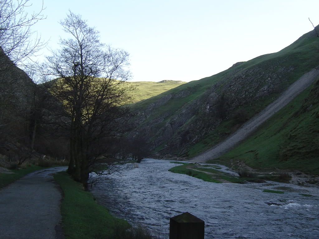
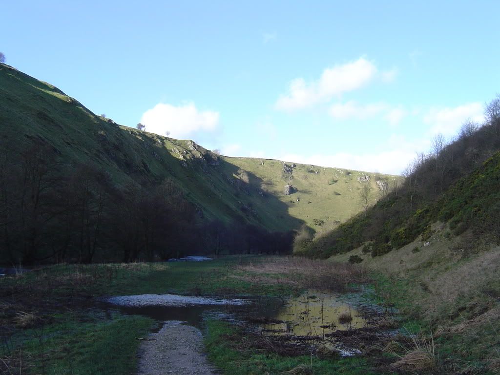
Looking up Dove Dale towards the stepping stones around the corner
The stepping stones, but not today
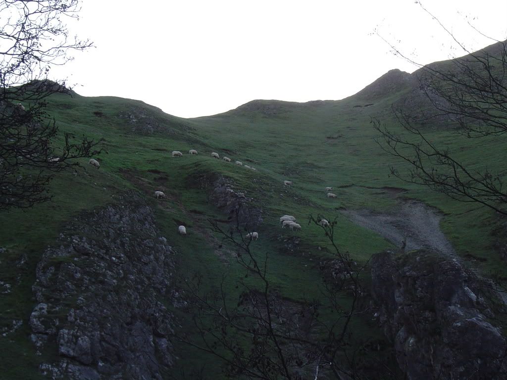
I thought the flood signs at the car park referred to the path way, but it referred to the stepping stones, so that was a detour to start the day. After retracing my steps back to the wooden bridge I crossed over to the dark side! The normal path was flooded, so walking around the edge was a little slippery on the Limestone rubble. There was no sun down here in the wintertime as I passed under Thorpe Cloud. The sheep were keeping well above the river and were grazing in a long line higher up the slopes.
Baaaaaaaaaaaaaaa……..aaaaaaaghhh
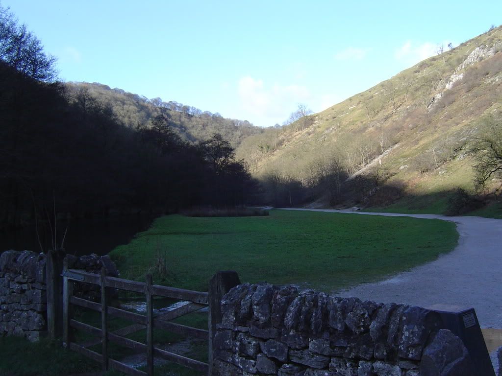
Once past the stepping stones the footpath is wide and well maintained, and you will now leave the crowds behind. There are lots of squeeze stiles and gates to pass through up the dale. When you’re tugging at some gates and they don’t open, try pushing! The valley sides are steep and heavily wooded in places. There are lots of Hawthorn and Alders, also a lot of Ivy that is choking the life out of some trees. They look very brittle in the winter light. The first rocks that came into view were the Twelve Apostles. So I said 3 Hail Mary’s and moved along up some steps to lovers leap.
The start of the good paths
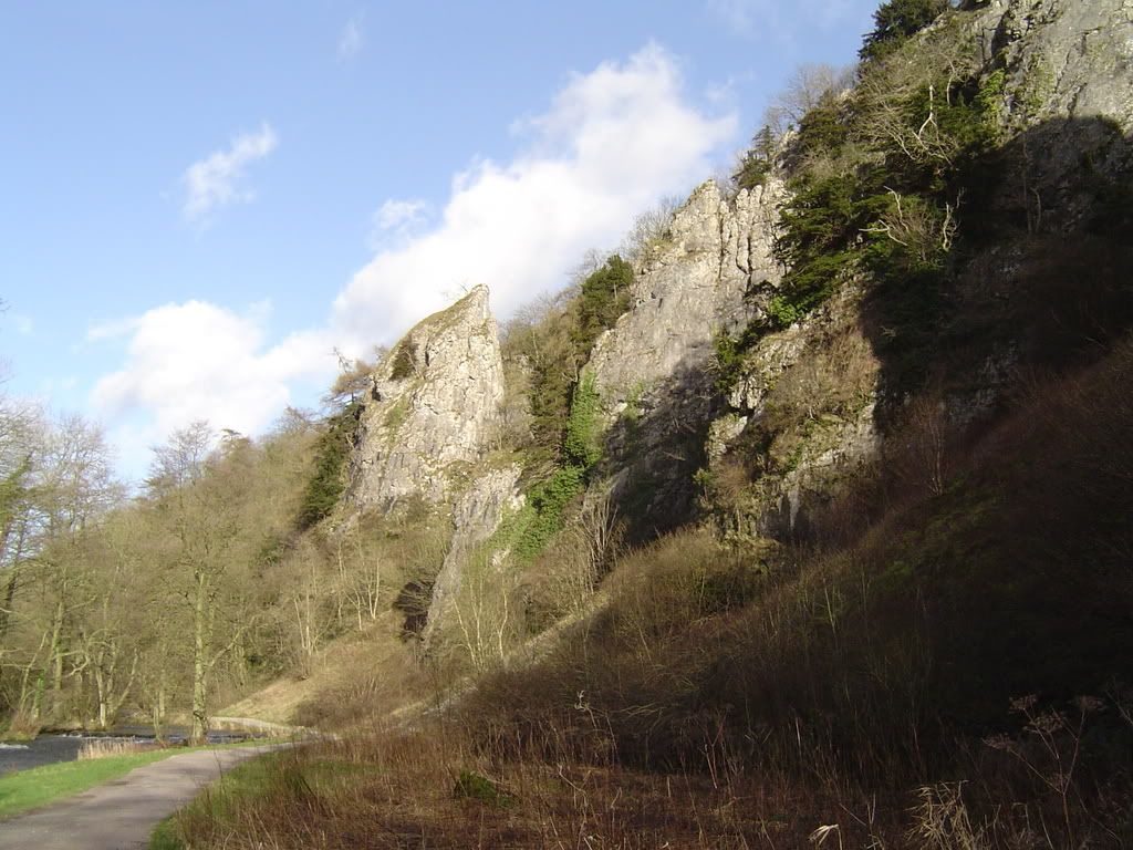
As you climb the steps to Lovers Leap, you can see lots of fossils in the Limestone at your feet. The long tube like fossils are Crinoids – a fossil shallow water plant from the Carboniferous period. A little further on are the Tissington Spires – all of these Limestone pillars are the hardy remains of cliffs that have worn away around them.
Tissington Spires
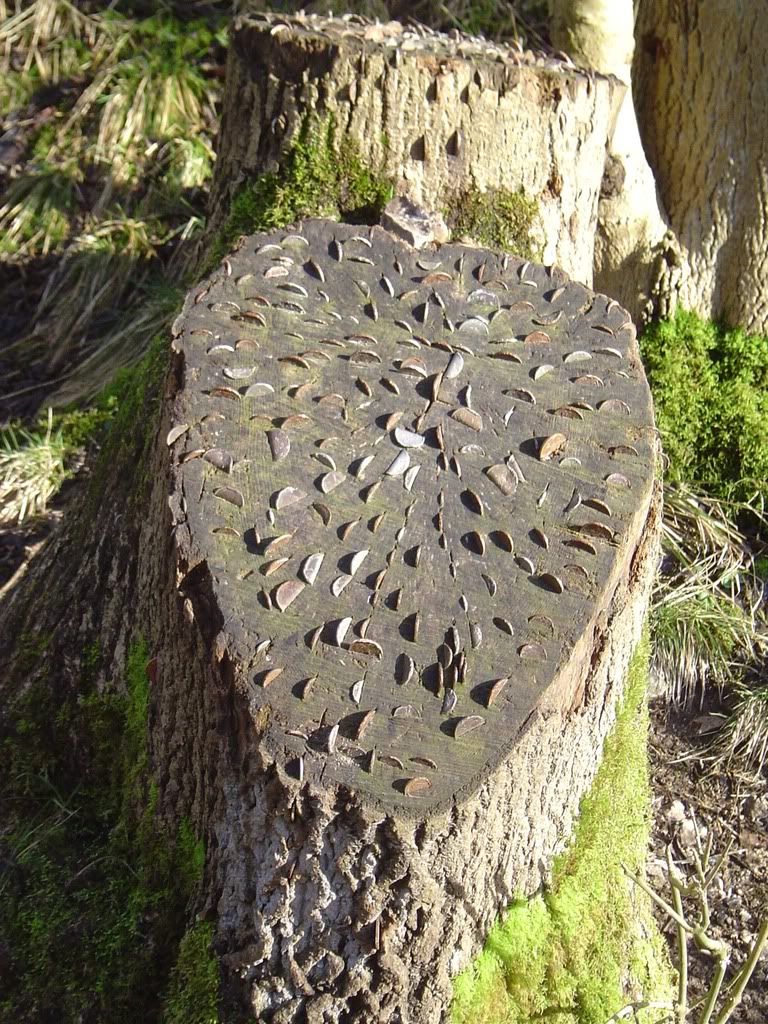
I came across some fallen tree trunks with coins knocked in them. I noticed the same thing at Malham (see the January walk), so maybe it is a piece of artwork, or a forestry worker? Not many coins have been pulled out, and you’d never get them in the car park machine.
Got any change?
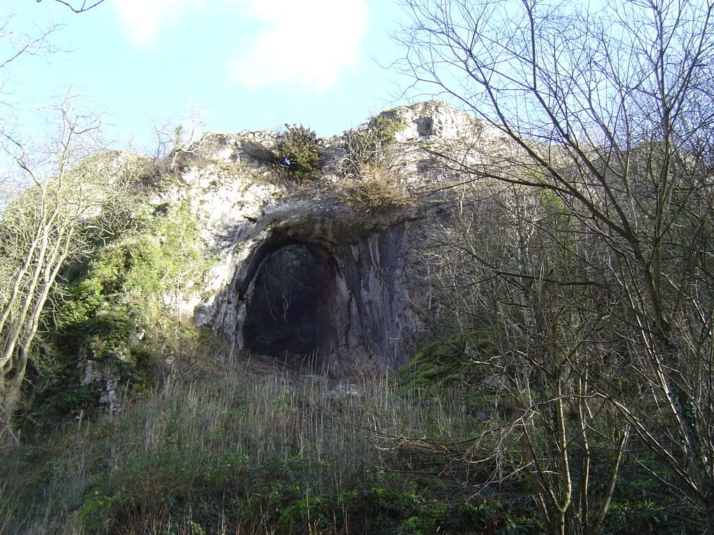
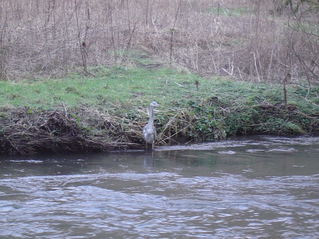
The walk continues up the side of the river in the valley floor, passing weirs along the way. There is a lot of bird life here most time of the year, and today we saw Dippers, Moorhens, Chaffinch, Long Tailed Tits, Mallards, Coots, Moorhens, Herons, Crows, Ravens and a solitary Kingfisher – not bad for mid-winter. I passed the Heron a couple of times, and there must be a reasonable amount of fish in here as there were ‘Private Fishing’ signs along the bank at regular intervals. The next feature along the way was Reynard’s Cave, which stands impressively above you on your right. It is a water worn feature, probably from melt water torrents of the Ice ages.
Reynard’s Cave
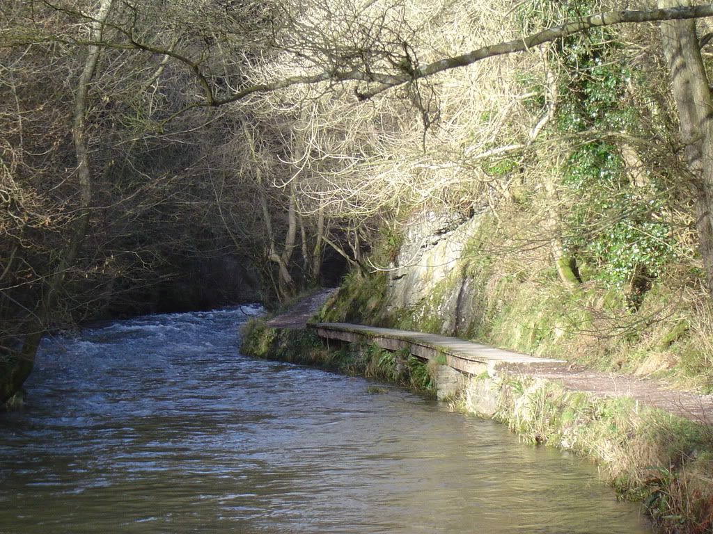
As the valley narrows and closes in on you there are a couple of sections of duckboards to walk over. Gabions (baskets with rocks in) have been placed on the river bed, and they make a nice contrast to the regular path.
Hello Ducky…
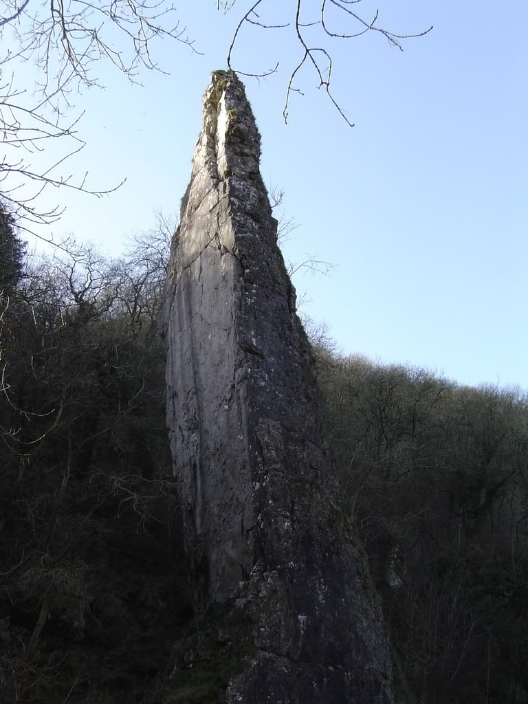
Around another bend the tall slab of Ilam rock comes into view, a popular climber’s friend in the warmer months. There is a wooden bridge here which takes you to Hall Dale or you could scramble up the steep path next to Ilam rock to get to the top of the woods – if you want to cut your walk short.
Ilam rock leaning at a jaunty angle.
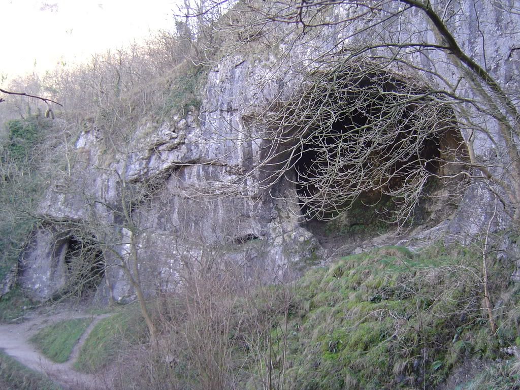
Keep strolling along and around another bend you will come across Dove Holes making a spectacle of itself. This is another water worn feature that you could have a peek around. I didn’t, it was too cold to stop for long. You pass the pathway to Alsop-En-Le-Dale which leads you up to the Nabs mentioned by Byron. The valley sides here are quite thickly wooded, and in the summer you should see a good variety of wildlife. Past Hall Dale the valley widens out a little and you soon wander into Milldale, where Postman Pat and Mrs Goggins live…well it looks like they do. It is a lovely small hamlet nestled at the junction of three Dales. Milldale is about 4 miles from the start of the walk, so it is a good spot for some refreshment.
Dove Holes, but not a Dove in sight
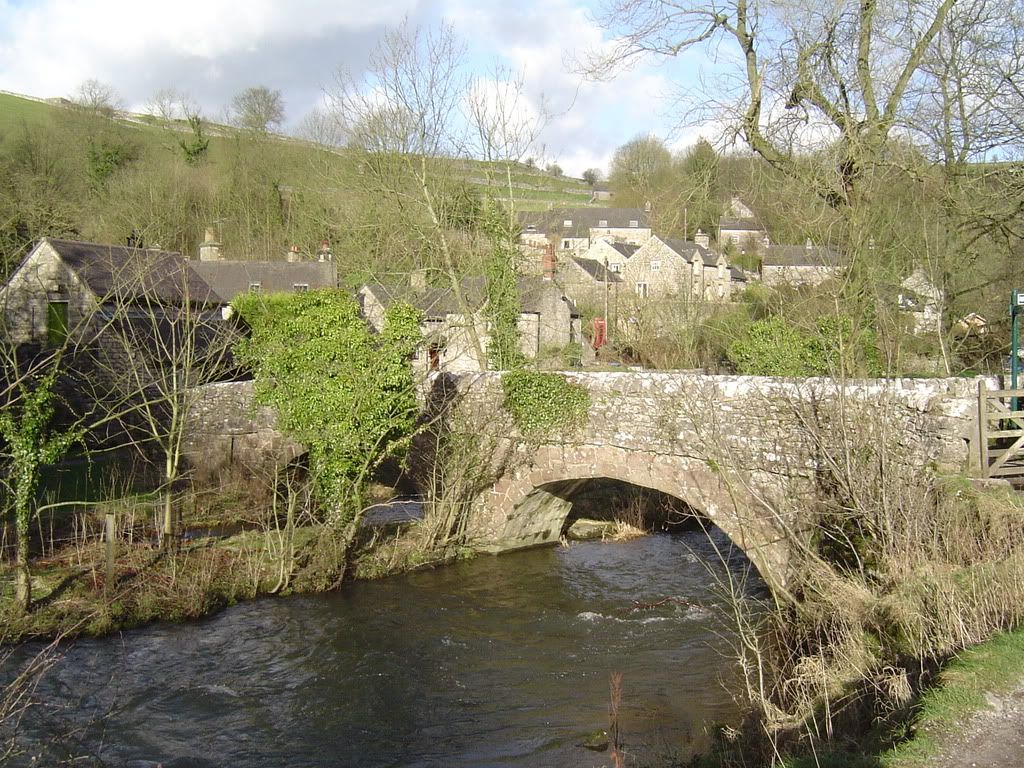
I turned right along the main road from the village and walked along the pavement, crossed the bridge and turned north up Wolfscote Dale.
Milldale – cross the bridge and turn right to Wolfscote Dale.
Wolfscote Dale immediately feels more open than Dove Dale due to being less wooded, so you feel less enclosed. The paths are generally in good condition but were a little boggy today. I met the Heron again stood to attention (the Heron, not me) and met up with him later on. The river zigzags along, and I ignored the many small bridges until reaching
Wolfcote Dale – you have the hillside up the left to climb around the bend.
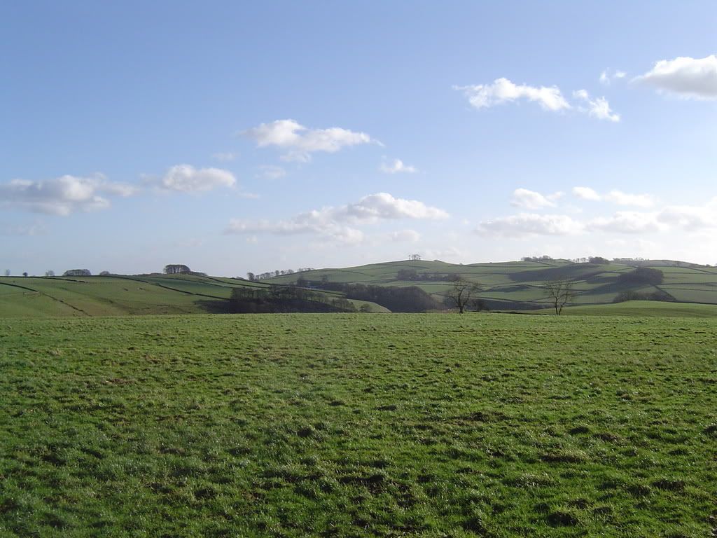
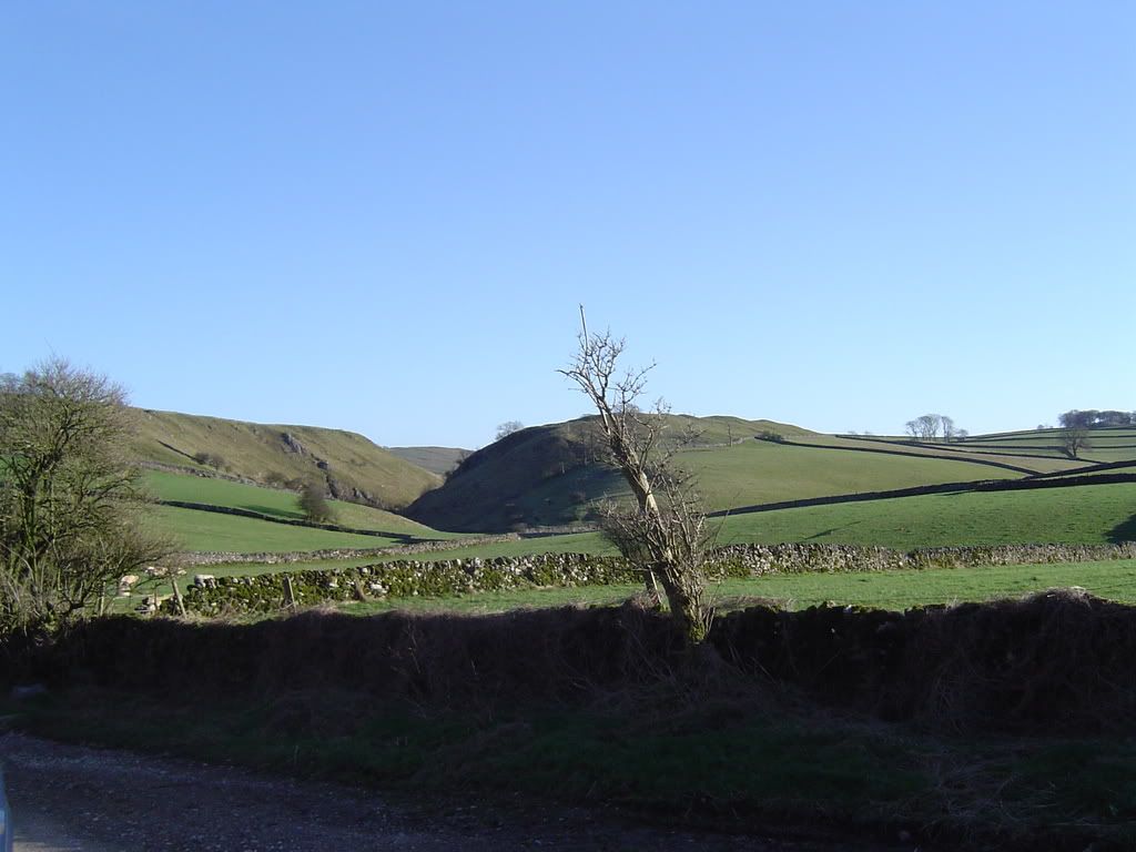
At the top of Gypsy bank, it was about halfway around so I had some soup – minestrone today which required much slurping to get all the pasta pieces. Ok when there is no one else around. Up on the top it was a few degrees colder than the valley floor, so I ate up and continued on. The vista opens up and you have views all around you of farmland, neatly closed in with Limestone walls, with the odd copse of trees topping the hills. There always seems to be a breeze blowing at all times of year up on the higher ground – Ok when it’s hot. The path continued up a stony narrow farm track up a gentle incline towards Alstonefield, passing the YHA along the way.
Looking down to
Good grazing land as far as you can see
Walking into Alstonefield you notice what a neat little village it is (true of a lot of villages in the Derbyshire Dales). You pass by a converted Wesleyan Chapel that now houses handmade oak furniture. Further on is the village pub, a good spot to take lunch if you haven’t got some pies. Take care through the village as there are a couple of village greens that could confuse. You will see the church on your left if you have navigated correctly, as you make your way down another farm track.
Clear skies above
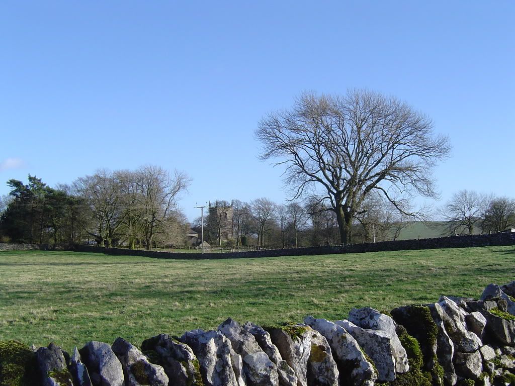
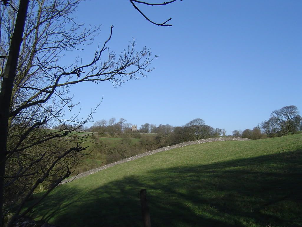
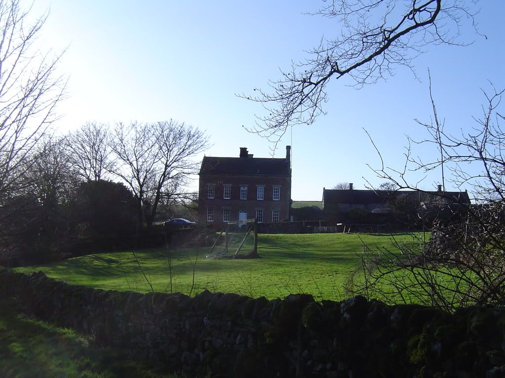
I continued across the fields, hugging the walls (the path, not me), dropping down gradually towards a steep bank that descends to a small valley below Hope. Cross the road and straight up the other side along a small farm track . Here you have a gentle sustained walk up towards Stanhope. Pause for a breath and you will have good views back to the church at Alstonefield. The snowdrops were out in the afternoon sunshine, so I stopped and stared for a while. The track continued up to Stanhope, where you are met with the fine old manor house, a substantial building for a small hamlet. From the road junction you will have a view of Hall Dale ahead of you across the fields, one side of the valley deep in shadow as the sun dropped lower in the sky.
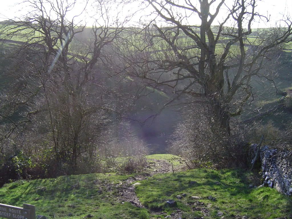
A steep muddy path down – there is an alternative route to the left
Looking back across the steep bank up to
Stanhope Manor…over here son…on my head…..Goal……..
Looking towards Hall Dale…named after Stuart Hall…..not
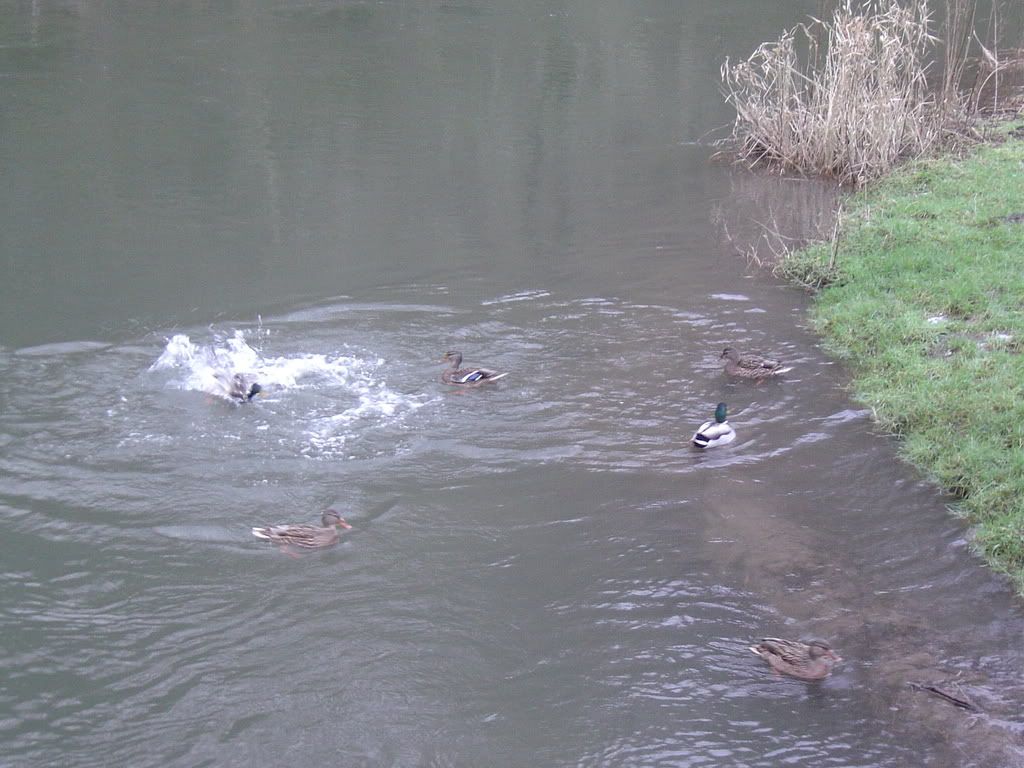
I crossed over the fields, boggy in places and made my way towards the obvious stiles. You could take a route that climbs above the Dove Dale valley towards Ilam, but I preferred the valley again. The path down into Hall Dale was a little stony and rough in places, and deep in gloom in the late afternoon light. I could see The Nabs sparkling in the sun up ahead of me. Once I had dropped backed into Dove Dale I met up with Harry the Heron again, he must have been hungry. Further on there was a bunch of squabbling Mallards fighting over the loaf of bread I had thrown at them.
Here fishy fishy…
Missed…….
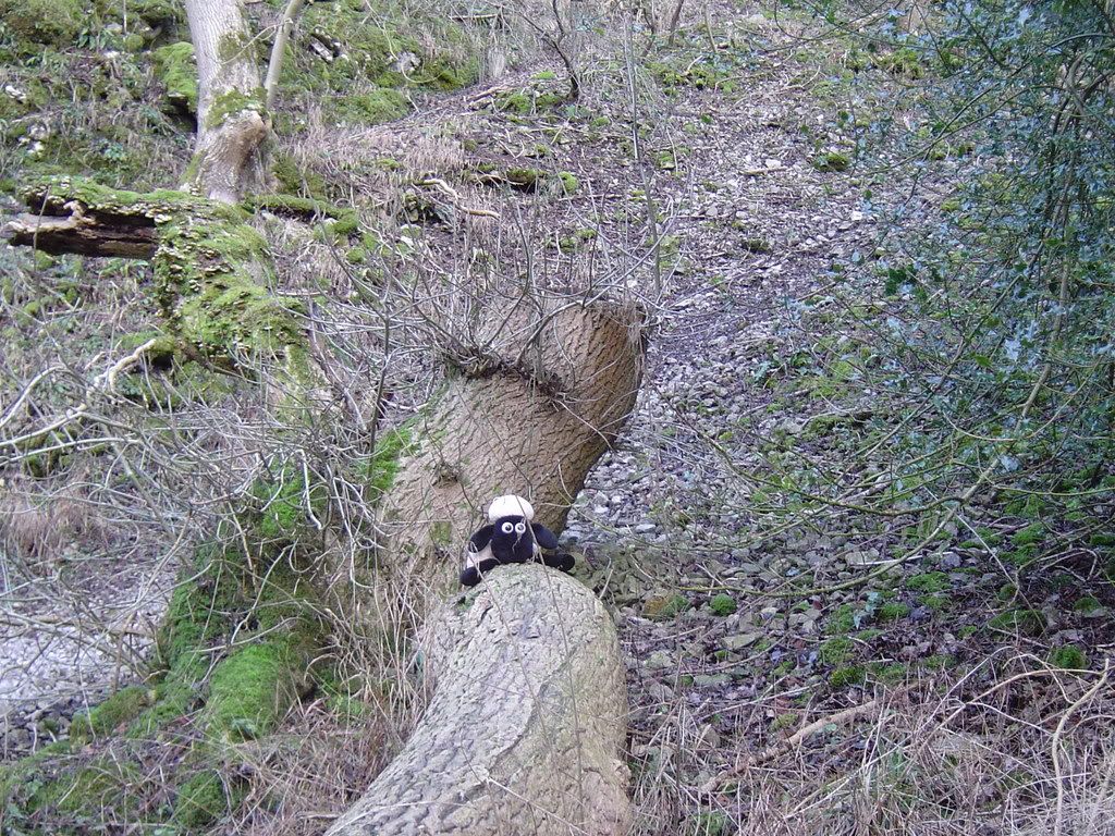
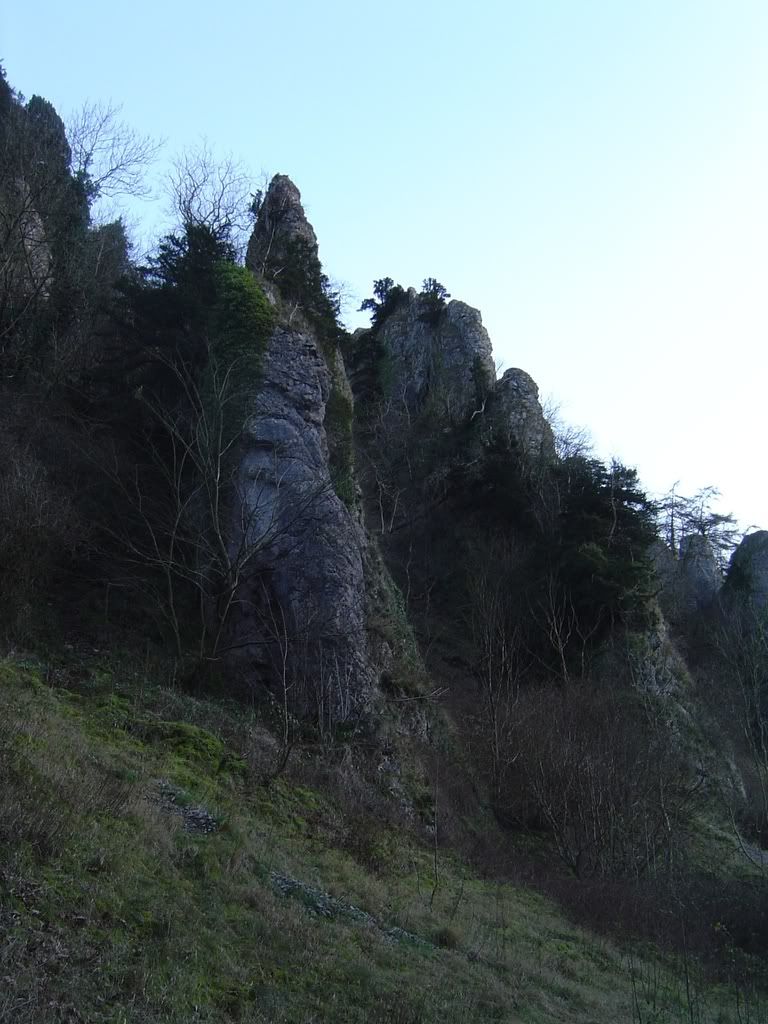
I crossed back over the River Dove by the wooden bridge next to Ilam rock and made my way back down Dove Dale and met a strange sight in the woods. The spikes of Pikering Tor were looking spiky, and Thorpe Cloud looked resplendent in the evening sun.
Baaaaaaaaa
Pikering Tor
Thorpe Cloud.
.
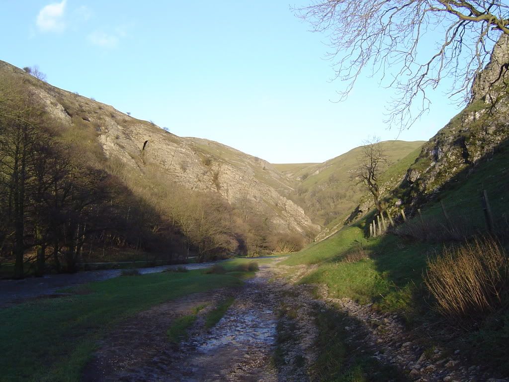
Dove Dale from close to the car park
A last look back up Dove Dale, pale in the evening sun and then I retraced my steps (wishing I had parked here) back to Ilam. A lovely gentle stroll taken at leisure – very peaceful at all times of the year…except on bank holidays!! Walking, sometimes it’s just restful.


No comments:
Post a Comment