A Helvellyn traverse
14th July 2009
Map: Landranger 90
Weather: Showers to start, cold up on the top and finished in sunshine
Clough Head down to Wythburn, taking in Calfhow Pike, Great Dodd, Watson's Dodd, Stybarrow Dodd, Raise, Whiteside Bank, Lower Man, Helvellyn, Nethermost Pike, Dollywaggon Pike, down past Grisedale Tarn to Raise Beck and on to Wythburn car park: 14.5 miles by Satmap Active 10 gps
Click on map for large version, then use the back arrow copyright OS
Click on map for large version, then use the back arrow copyright OS
We set a day for this walk via the walking forum and the usual suspects turned up for a very pleasant walk. It’s becoming a bit of a tradition to send pictures via mobiles to anyone who couldn’t make the walk – and it always seems to be a picture of a nice refreshing pint at the end of the day. That’s not so good on a wet day, but I don’t get too many of those. We met up at the lay-by at Scales, and I followed Paul down to Wythburn car park, in the forest far below Helvellyn. I parked my car and found the ticket machine to be out of order – the day was looking good already. We all drove up to park close to Hill Top Farm, where there was room for a couple of cars, one of them being Paul’s – result#2.
Blencathra to the right from the start of the walk
Our route up the old coach road – clear towards Keswick and beyond
Dark clouds gather over Blencathra
We got kitted up and the sun was shining although there were some dirty scoundrel type of clouds floating around towards us. The weather forecast was a bit of a mixed bag – a lot of rain with a bit of sun thrown in. As it turned out we only had a brief shower, and most of the rain was dumped on Keswick in a big storm. It missed us completely and the cloud base was well clear of the summits for most of the day. We set off in pleasant sunshine and gently ascended up the old coach road past Skiddaw and Blencathra – it felt like the old corpse road to me though.
Great Mel Fell and the little one, beyond
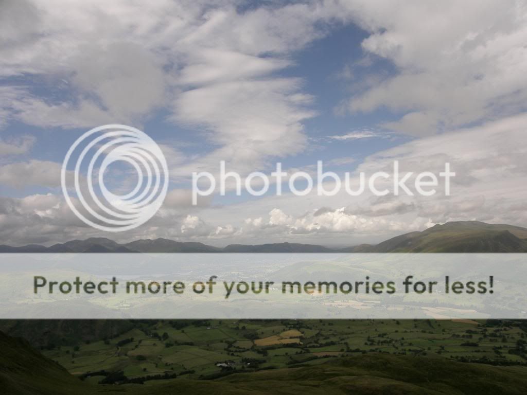
Skiddaw to the right, Keswick in the middle before the rain started
All kitted up on the top of Clough Head
Beautiful views of all but the highest peaks
The air was clear today as it hasn’t exactly been that warm lately, so the views for the most part were awesome. Today’s route was around the base of Threlkeld Knotts before cutting up a steeper slope leading up to some
Looking back to Clough Head with Blencathra and Skiddaw out the back
Cogstar waiting patiently – he didn’t take many pictures – just borrows a few
The gentle walk over to Calfhow Pike
We’d had to don waterproofs as it looked like it we were going to get a soaking judging by the gathering clouds above. It started to rain and Blencathra put on its fuzzy hat. We kept the waterproofs on for a while, but eventually it eased off by the time we had squelched across to Calfhow Pike – 8 lords a leaping as the song goes, except there were only 4 of us. It was still a bit chilly and I kept my gear on, while Paul got his legs out for an airing. I reckon Paul must have stuffed a couple of Duracell batteries up his jacksy today, as he just kept going and going all day long – I think I had a couple of flat alkaline up mine.
The path ahead to Stybarrow Dodd
Me lagging behind on the way up
Looking back to Keswick and the rain storms - ha
The gently undulating ground led us along to Calfhow Pike, a not very inspiring nipple of a hill. What was inspiring were the views all around us, with the clouds scudding by giving a chance of some good photos. It was easy walking along the tops, hopping over the boggy patches, but after Calfhow Pike the undulations took on an altogether sinister guise – they went up and down a little more steeply. By no means were they too steep a gradient, but I didn’t have the legs for it today and by the time we were on the way up to Little Dodd I was lagging a little behind the others, and calamity struck we walked straight past Great Dodd without realising it. So like all good baggers we made a beeline for the summit behind us, but I think it was this extra yardage that slowed me down so much – honestly it was. Onwards from Great Dodd, the views were magnificent all around us with the base of the clouds above the highest peaks. Next along the line was the summit of Watson’s Dodd – well summit of a sort – I use the word loosely, about as loosely as the pile of stones. After this my ‘flat’ ridge walk became a little more undulating up to Stybarrow Dodd, down on a good path to Sticks Pass, and then huffing and puffing up again to Raise. Here we had a good view of the Lake District Ski Club lift & ski run down the slopes of Raise.
Striding out to Raise
There goes the Duracell bunny – next stop
Catstye Cam and Keppel Cove – see the dam
Looking back along our route today
And this monster cloud tried to grab us, but it missed - ha again
Coming up to the summit with Swirral Ridge down to the left
Hardly alpine, but better than nothing I suppose - They probably had too much snow to run it earlier this year, but their website shows some people skiing! Beyond Raise there are good stone paths to prevent erosion and as we got nearer to Helvellyn the traffic also increased. There were many DOE’s walking up here, some enjoying their challenge and some patently not. Up to Whiteside Bank next and my pace slowed as I took more pictures and enjoyed the views all around. I was feeling knackered, and we had to decide if we were going down to Catsty Cam and across to Striding Edge and up again.
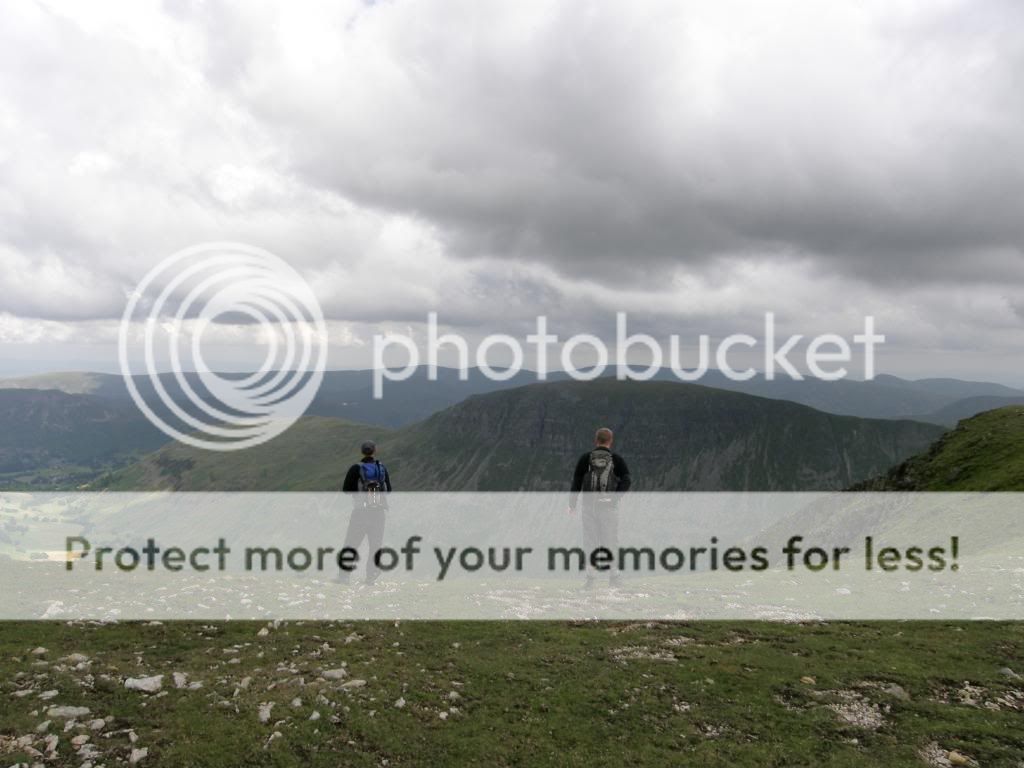
Taking in the views at Hellvellyn cairn waiting for yours truly
Not the shortest for a change
It would be a 2hr diversion for us and personally I wasn’t up to it. The siren call of a pint beckoned, so we binned the idea until a later date. That later date was soon after for Paul and Mike as the swine’s did it as soon as I went back to work. We made our way to the summit admiring the views down to Keppel Cove and the burst dam, and weaved through the throng towards the summit cross shelter. Obviously it was very busy, so we sidled our way into a quarter, sat down for lunch and admired the general walking public, walking up to the summit – a fine achievement for many – Graham pointed out the ones wearing tennis outfits! After a quick bite and some Marmite snacks, we stood by the summit cairn and were snapped posing, and for once I took the high ground and didn’t look like a wee man.
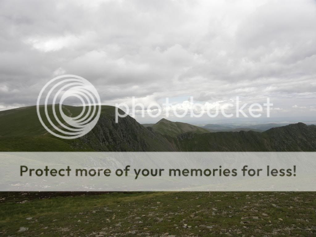
Looking back to Striding Edge, with Catstye Cam behind and Helvellyn to the left
Looking over to St Sunday Crag from the slopes of Nethermost Pike
Along the towards Nethermost Pike – easy walking
Looking towards the top of Nethermost Pike
Down a rubbly slope to High Crag and then on towards Dollywaggon Pike
The wide summit area led us onwards towards Nethermost Pike and afforded us good views passing Striding Edge and over to St Sunday Crag. We stood and pondered the Pinnacle Ridge route up the side of the crag, and I decided in my mind that was a ridge too far for me. Other’s had a different idea though and I look forward to hearing their stories in sometime in the future. It was refreshingly easy ground over to Dollywaggon Pike and as we came to our descent towards Grisedale Tarn we had to make another decision to take on Seat Sandal or not – that’s the trouble with wainwright’s hills – they always beckon to be climbed and ticked off.
Looking back to the pointy
Coming down to a peaceful Grisedale Tarn
Mike and Paul carried on in the lead and we decided as it was steep anyway, the best way down was straight down. Paul and Mike led the way and in my new found enthusiasm to join the race downhill, I proceeded to do a passable impression of a backward moonwalk down the scree slope, complete with sound effects. What a tribute to Michael Jackson – I didn’t fall over but worryingly it was another senior moment, accompanied by much guffawing from the other three. We had a great view down to Grisedale Tarn and over to Seat Sandal, which was to be our last wainwright of the day. But for self and Graham it was a hill too far, and the consensus was to save it for another day. Besides that we could hear the cider at Threlkeld calling ‘ooh arrr’. We had saved some time coming down directly off Dollywaggon Pike alongside the wall, even if one of us tried to fall over a couple of times – no names mentioned here – eh Graham. We got to the col and abandoned all thoughts of Seat Sandal - we just admired the wild camping spots chosen alongside the tarn. We turned down to Raise Beck and dropped down 1100ft of descent in a mile, but most of it was along a good path by the beck. There were lots of stops for photos, as there are plenty of falls down the valley.
One of the falls down Raise Beck
And another
Through the bracken looking down to Helm Crag
The route down Raise Beck
A glorious view up towards Thirlmere
A look back to Helm Crag
And back to the car – what a day
As we came out onto the lower slopes we passed through some high bracken before reaching the road. We had good views up and down the valley through the pass of Dunmail Raise, with Helm Crag elegant in the distance. There was a minibus parked up by the roadside, but no one knew how to hotwire it so we carried on towards the parked car. It was another mile and a bit back to the car park at Wythburn, but most of it was through a cooling forest ride. As we walked along a jet came zooming with a terrific roar, at about 10ft off the ground – it felt like 10ft anyway and I’m sure it’s a good cure for constipation if you have any! It was a nice stroll back to the car, and after a quick return to Paul’s limo we retired to the pub at Threlkeld for a nice pint of cider. Great walk, great end, great company – B tiring though.


Nice write up Pete, you're right I was on top form that day I've gone backwards ever since!
ReplyDeleteBy the way I'm from Teesside and could easily have hotwired the vehicle if asked.
Cogstar