Excellent Eglwseg and lovely Llangollen
25th October 2008.
Map: Landranger 117
Weather: Overcast but dry all morning
Llangollen to Castell Dinas Bran, down and across to Offa’s Dyke Path. Walk to World’s End. Cross the valley and up to Fron-lwyd around to the Foel plantation. Down to the
I was very lucky this weekend as the weather was very kind to me. On Friday I had a little stroll around
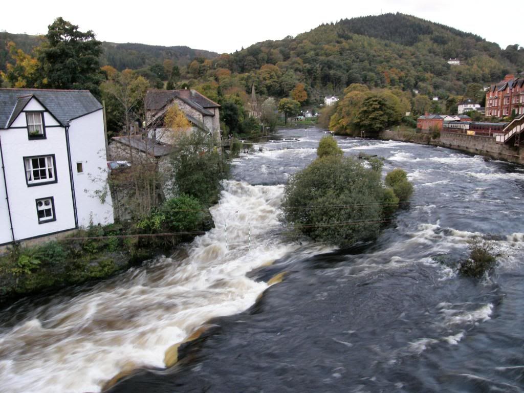
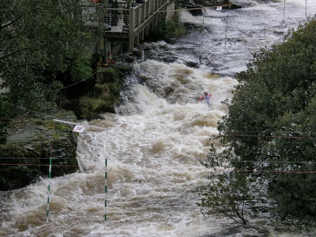
All the gates were ready for the canoeists
The
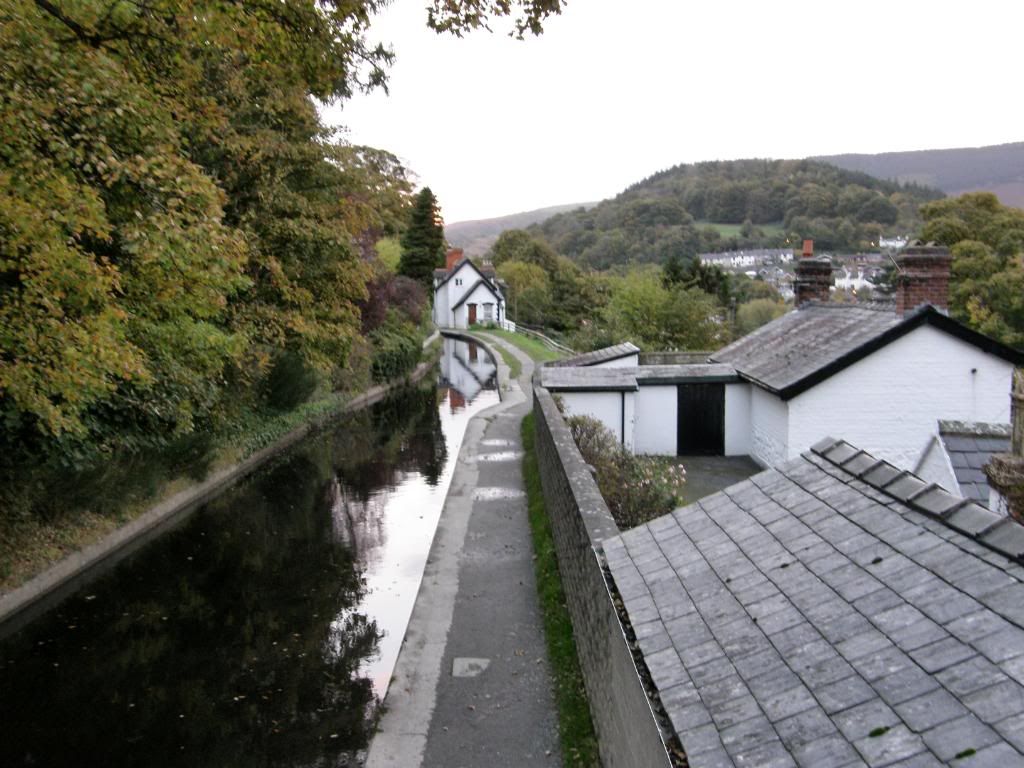
The route begins by crossing the River Dee and walking up through the town. The River was running fast and strong and I suppose that’s why they hold the event at this time of year. The path up to Castell Dinas Bran was diverted around the school and gradually climbs out of Llangollen up a small track, before crossing a grassy field towards the steeper slopes of Castell Dinas Bran.
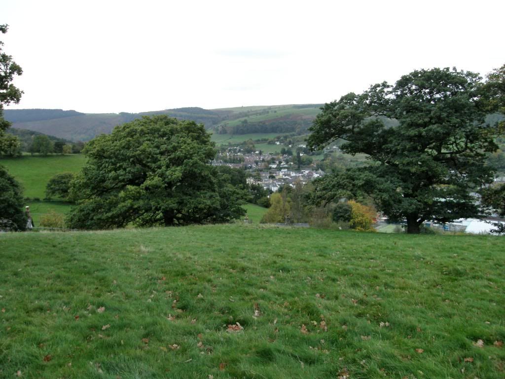
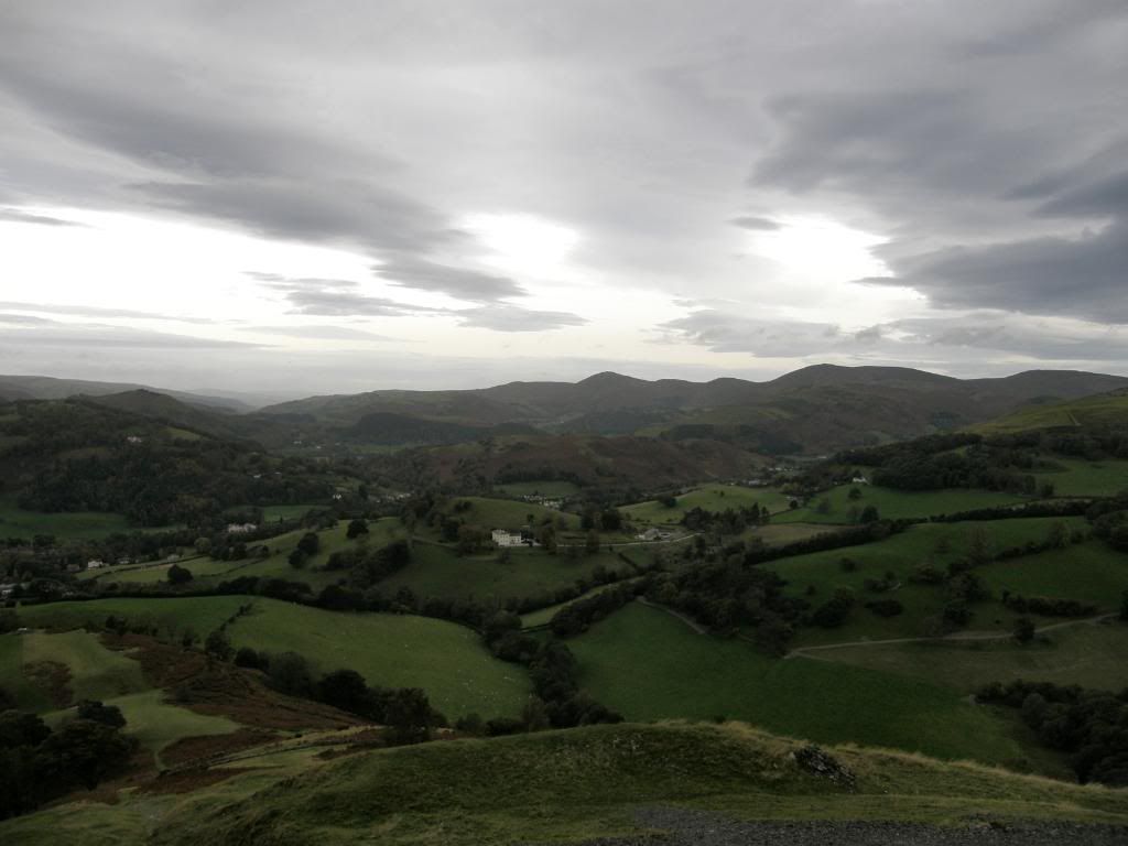
Looking down to Llangollen
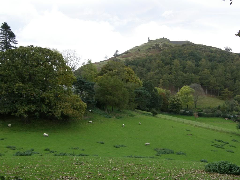
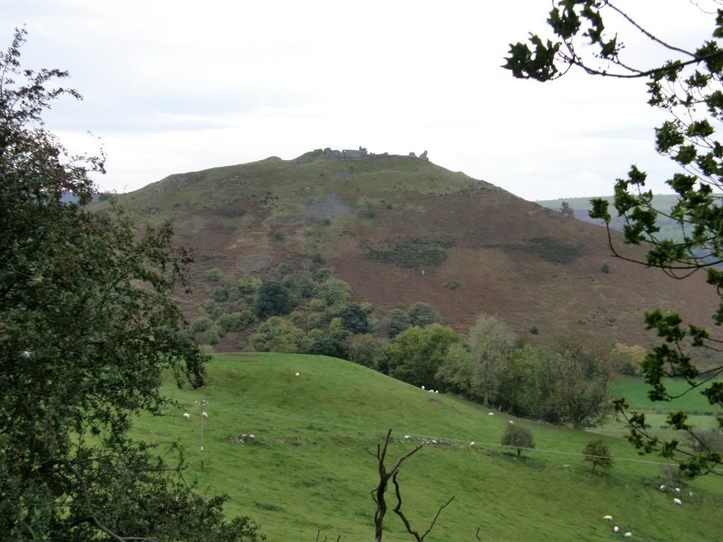
Castell Dinas Bran high upon the hill
Getting higher and the view to the north
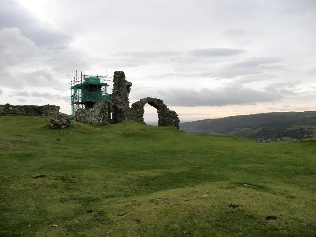
The castle towers high above the
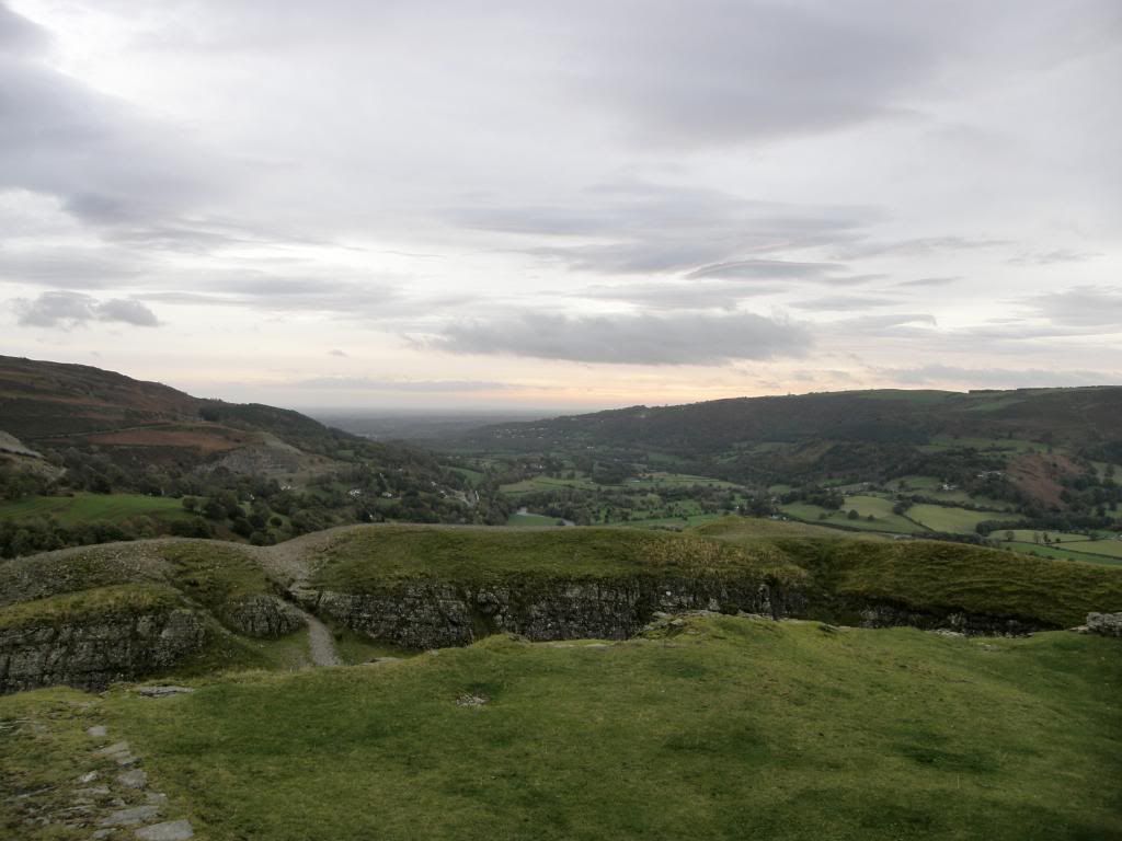
The view from the top to the
The ruins clad in a very un-fetching green scaffolding
Moving around to the path down
Looking back to Castell Dinas Bran
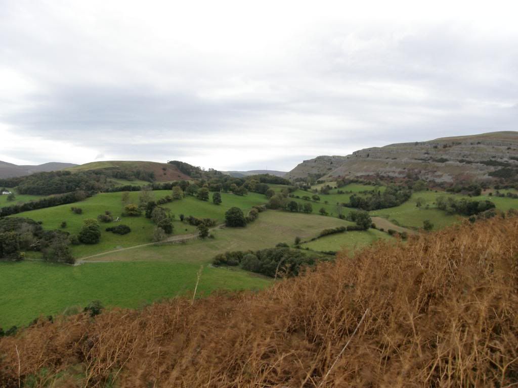
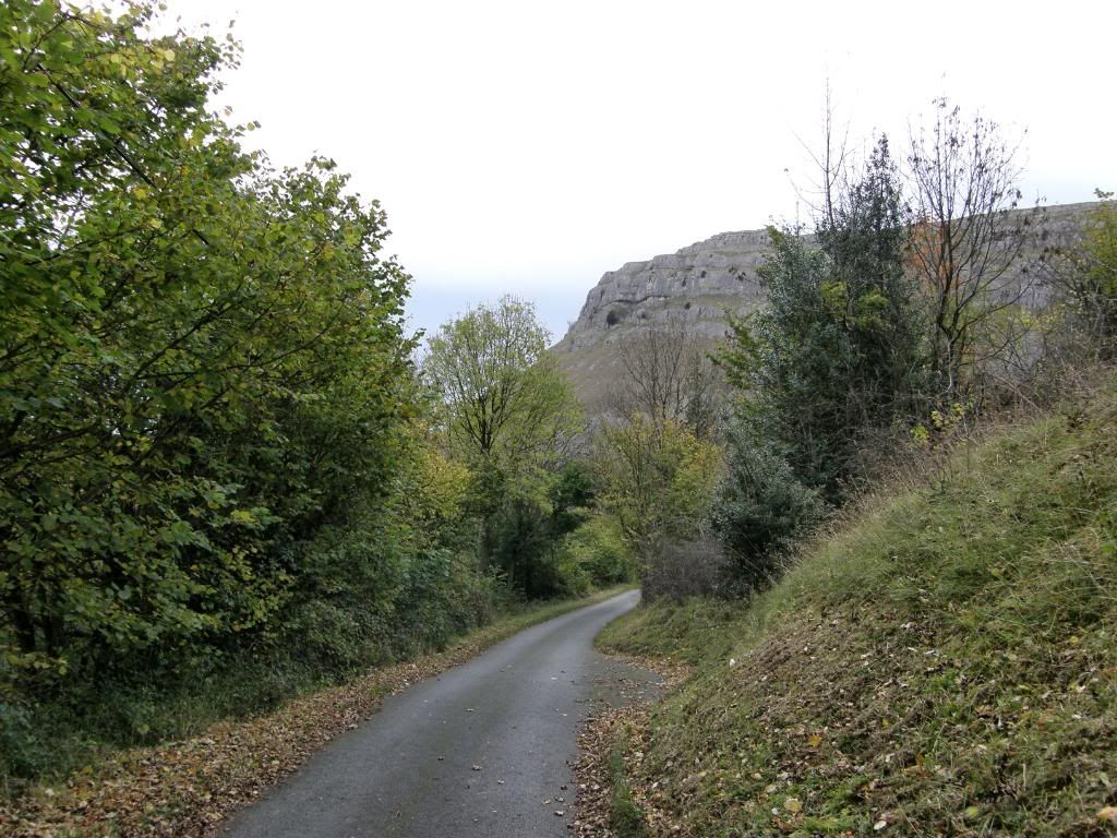
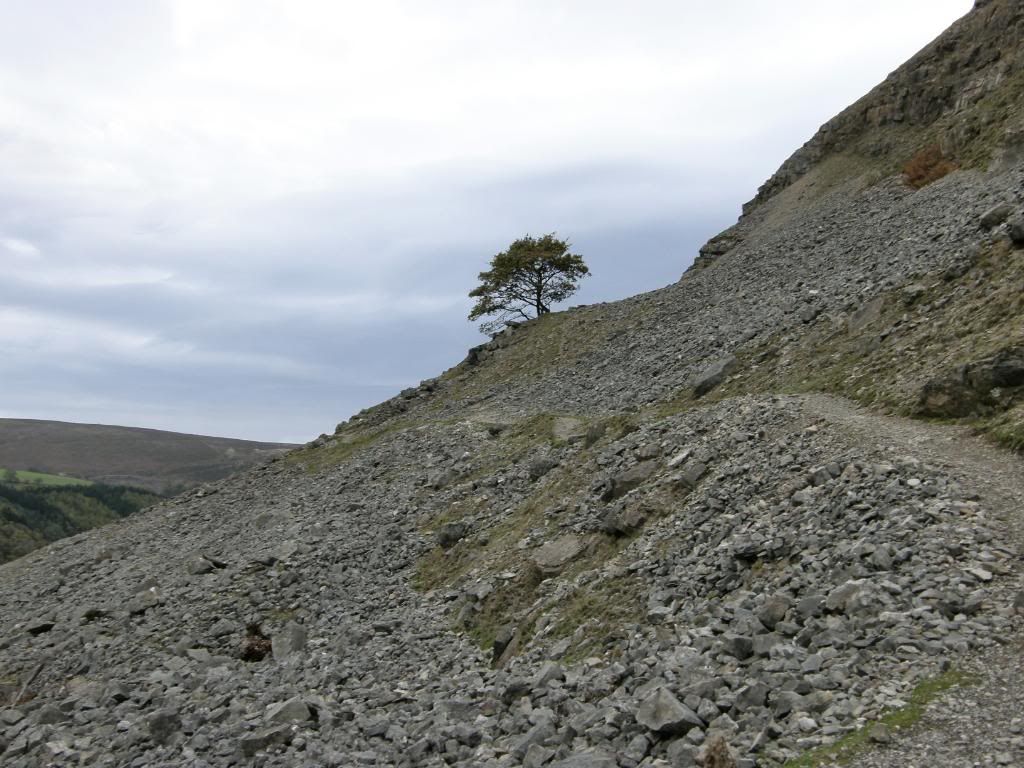
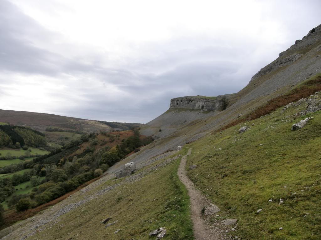
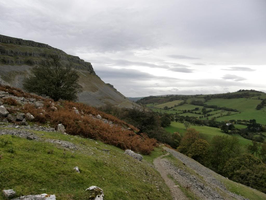
After walking around to the east side of the hill we descended steeply down the flank of the hill and crossed a field over to a little used minor road. This led us to the Offa’s Dyke path which runs in a northerly direction, and we followed it until we reached World’s End. After a couple of miles walking along the single track road the path gradually ascends on a rough track passing by Rock Farm, and then narrowing as it follows the contours below the limestone crags. When this route was first walked it must have been fairly treacherous across the scree slopes for sometime, before a path became established. It is narrow and we had to walk in single file, but as we ascended the views to the valley below and the crags above were marvellous. There is a sign warning that climbing restrictions are in force during the protected birds nesting season, and that you shouldn’t climb up the Monk’s Buttress or Craig Arthur either – between February and June. Mind you they look steep enough from down on the path, so we didn’t bother! It looks like there are some impossibly steep paths up the scree slopes to take a short cut to the top of the crags and up to
Offa’s Dyke path follows the road
Up and away from the road the path narrows
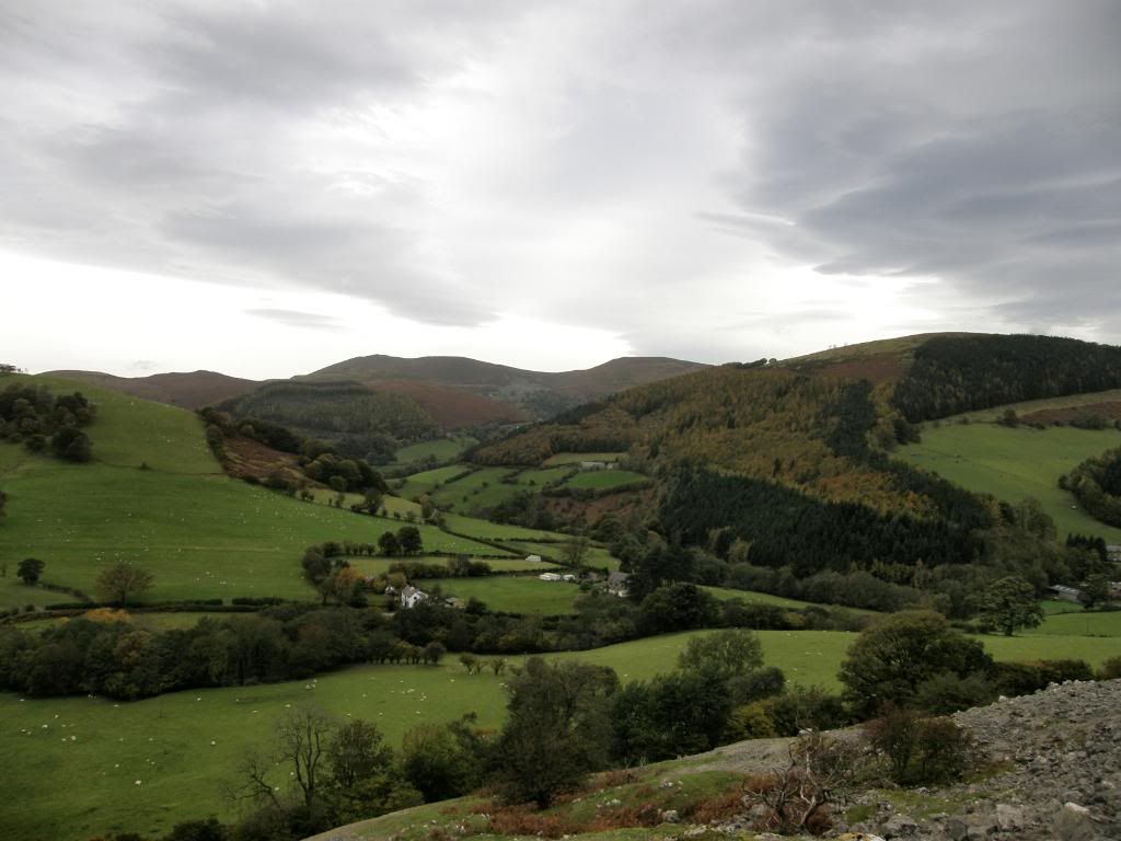
Looking to the west and our route back across the valley
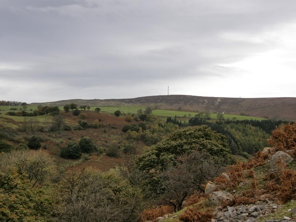
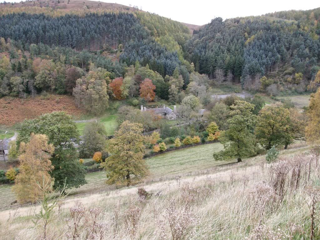
It was a pleasure to walk along below the escarpment, and we continued to gaze at the lovely autumnal colours, and a dramatic sky with some weird shaped clouds high up. As we got higher up the slopes it became windier, but at least the rain was holding off – it was a three layer day for me, so not too wintry yet. There were some nasty looking toadstools along the way, bright red and none to appetising and not surprisingly very little else was flowering. The tall mast on Cyrn-y-brain came into view as the path veered around towards World’s End, and that was meant to be our destination. But as it looked so nice down at World’s End we decided to drop down into the valley and follow a farm track from the old manor house, chopping a mile or so off our route - we justified this by being out of the chill wind for a bit longer. The old manor house here has been restored and is in a perfect setting at the head of the valley, although possibly a little remote in the depths of winter.
The tall mast on Cyrn-y-brain
The acorn sign indicates Offa’s Dyke path
Looking back along the path
The manor house at World’s End
The woods at Worlds End – Offa’s Dyke goes north from here
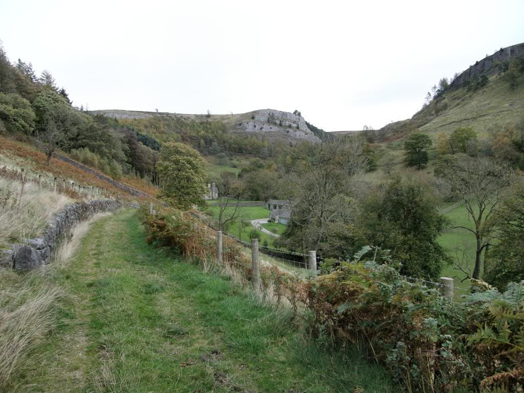
We thought we had a path up the valley to higher ground, but a little trespass was required across by the stables of the manor. But we didn’t disturb anyone or anything and passed by on tiptoes to avoid making any noise – luckily they didn’t release the dogs, and we didn’t hang around just in case. The gradient was not too bad and we made our way up towards the cottage of Fron lwyd on a regular footpath now moving to the west, with the sky still looking threatening but the rain holding off. It was a pleasure to walk along the soft grass tracks and they were remarkably dry considering the autumn we have had, with the bracken dry and brittle and a beautiful russet colour. The cottage at Fron lwyd looks like it belongs to the manor house judging by the paint job, and it has been sympathetically renovated. The only problem was that the path that legally crosses their garden isn’t very well marked, but it goes up around the back of the house and there is a stile. We stood in the garden and took a breather, gazing back towards our outward route beneath the impressive limestone bluff. There was a lovely aroma of bacon butties as well from the open kitchen window, and the occupants looked a bit surprised to see us standing there. So I gave a cheery wave and we made our way up to the top of the hill. We were some way below the mast on Cyrn-y-brain but were back on our original route. It was windy enough up here and definitely chillier, but the path ahead was easy and grassy.
The farm track up from the manor house
Looking back to the limestone escarpment from Fron-lwyd
The path winds away to the left and then around to the woods across the valley
Lovely soft grass
The old forestry ride
Looking back up to Cyrn-y-brain mast
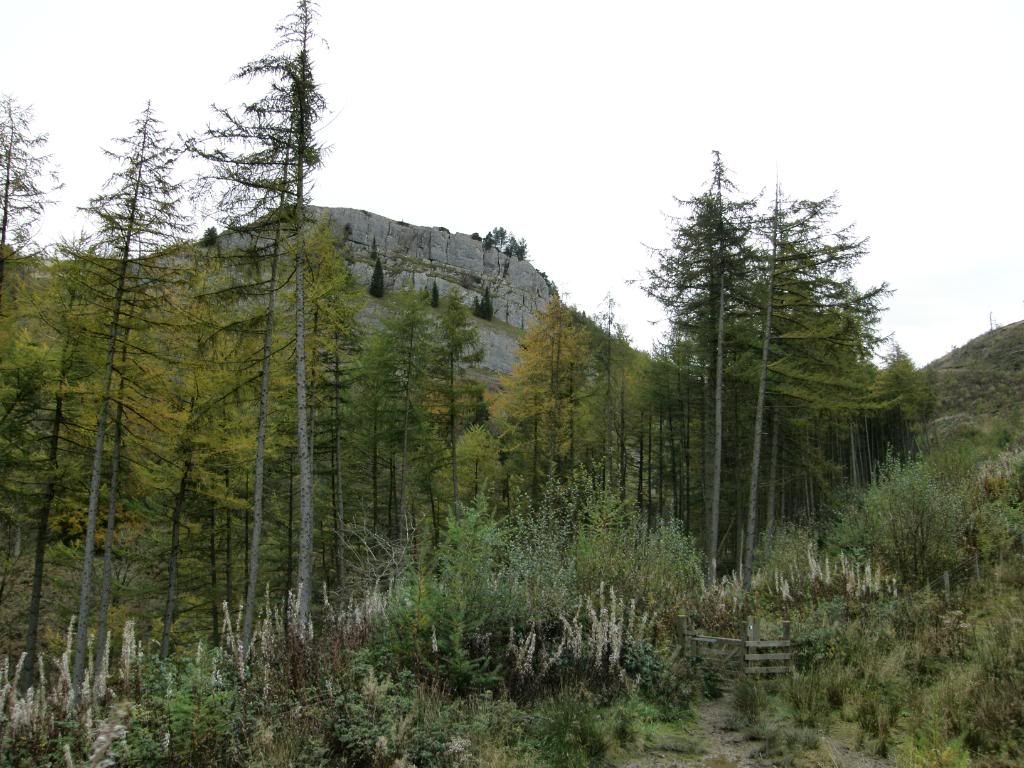
We wound around the contours, through a few sheepfolds and then made our way over the fields to the Foel Plantation. The path through the woods was pretty rough but was marked on the OS map as a route. That’s the problem with plantation paths and tracks; they tend to change over the years, with new routes taking over the old routes, and the old routes becoming overgrown. But after a series of climbs and limbos, over and under fallen trees we emerged intact, if a little ragged, after sliding down onto a real forest ride. Some of the gorse bushes lining the route were still in bright yellow flower, but the fragrance was missing. We made our only miss of the day when we carried on along the track we were on instead of cutting back to take a lower path. We did venture over the edge and found a lower overgrown track, but this was a mistake and we both slithered and slid back up to the upper track. The only route now available now was to double back on ourselves as the forest ride dropped back to the path we should have been on in the first place. But I didn’t attach any blame whatsoever to Stuart who was carrying his GPS! That’s my excuse and I’m sticking to it.
Flowering gorse along side the track
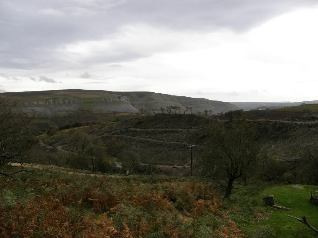
The steep path down to the valley bottom
And the view from getting up the other side
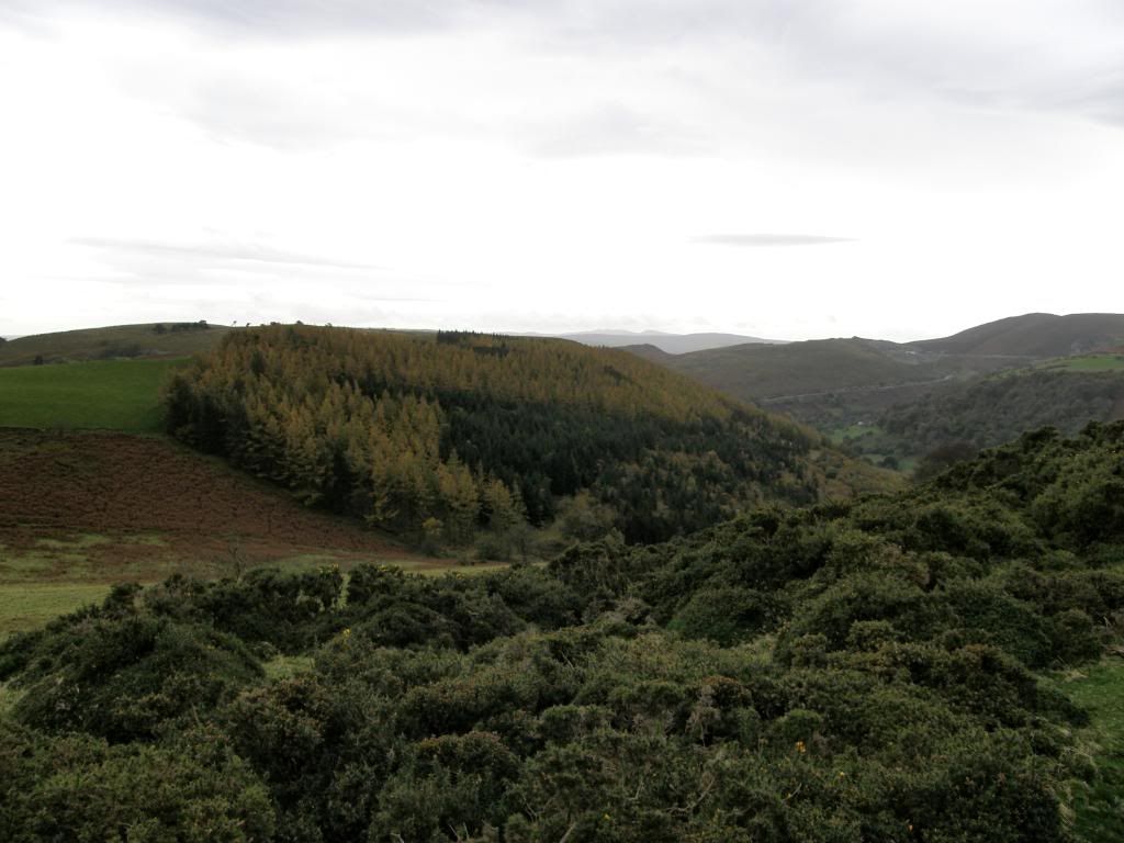
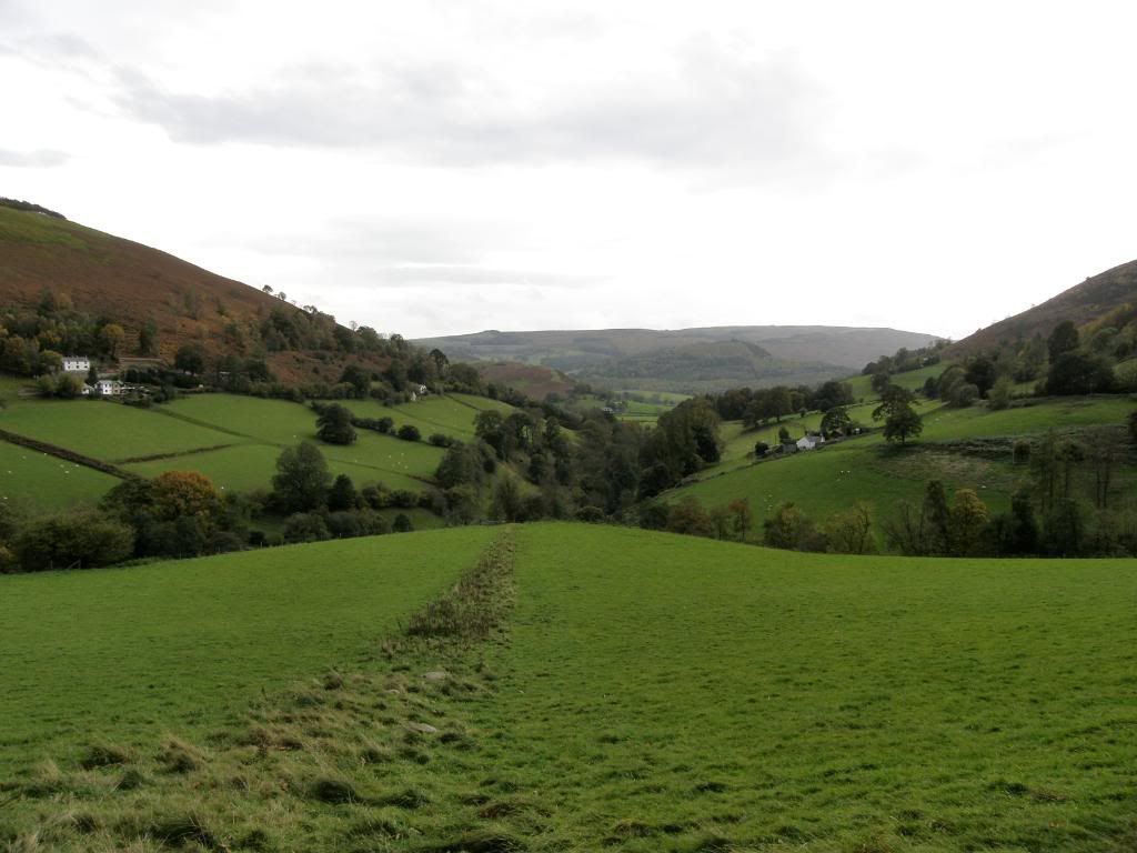
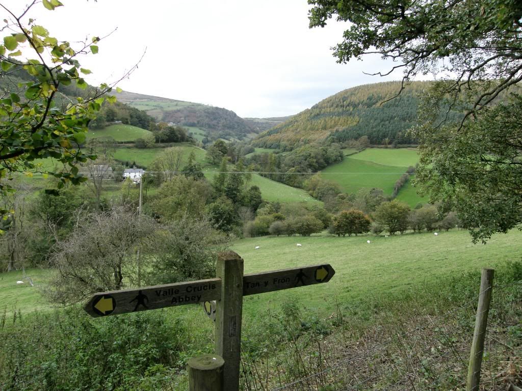
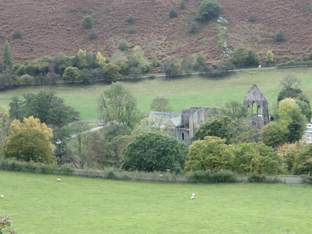
The nature of the landscape around these hills meant that any drop down to the valley is met by an equally steep little rise up the other side – but the plus side is that it is all easy on the eye and today was a lovely mix of terrain to walk across. Once out of the plantation we dropped down across fields to cross over the Eglwyseg river and then faced a stiff little climb up to Hendre, just what was needed towards the end of the walk! We disturbed a Red Kite which circled around and then flew off to higher ground. But there was a silver lining for us as a handy bench appeared with splendid views back across the valley. We decided to maintain the height we had gained and forego the pleasure of seeing Eliseg Pillar (the base of a cross that originally was much taller - six metres according to some (extravagant) estimates - but all that remains now is about a third of that, surmounting a mound in a field beside the road. The cross takes its name from an inscription which used to be clearly visible on the shaft, but which can no longer be seen. That inscription told how Cyngen, the last king of Powys, erected the cross during the early ninth century to commemorate his great-grandfather king Eliseg, who had won Powys from the English by force of arms. Fortunately, that inscription was transcribed before it became too weathered. We also viewed the Valle Crucis Abbey remains from high, and they are nestled next to a caravan park – lovely!
The Valle Crucis Abbey, with caravans snuggled up on the right!
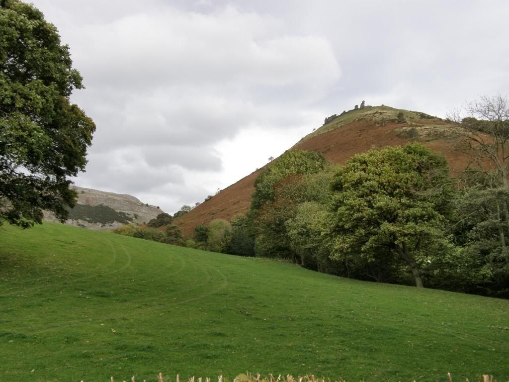
Castell Dinas Bran
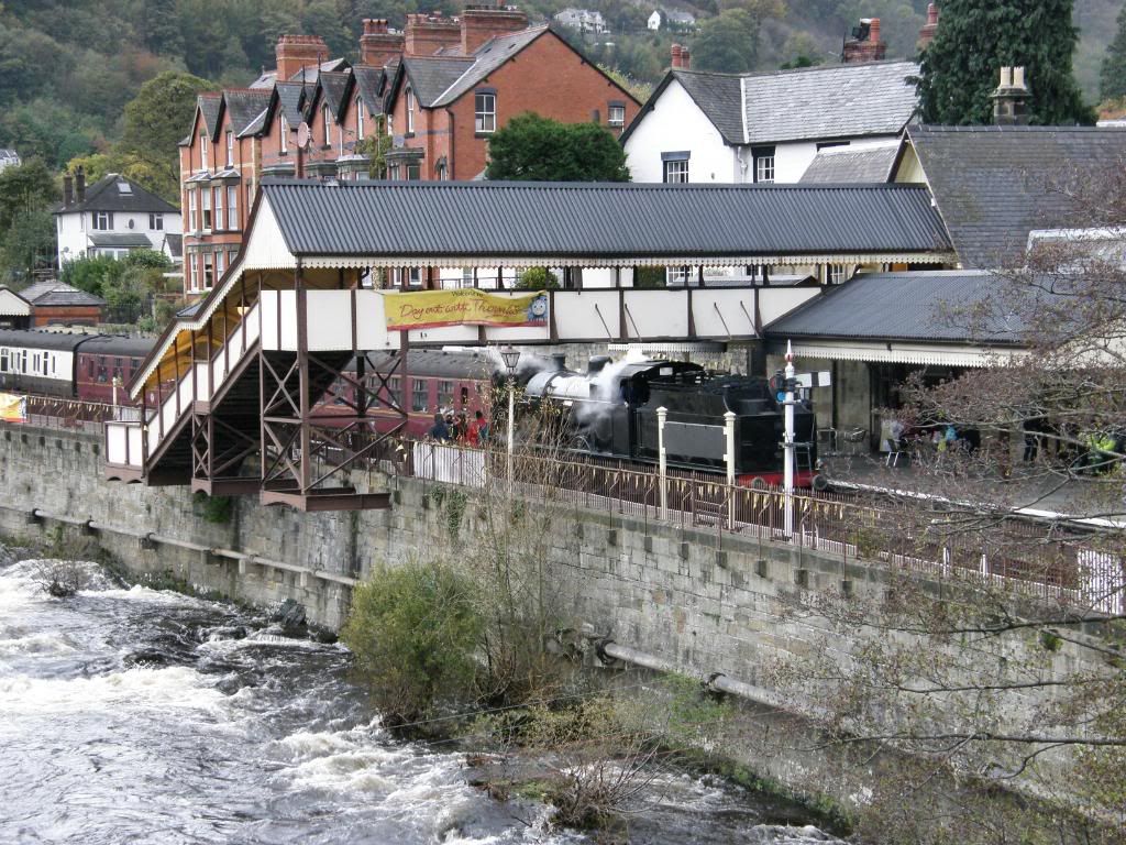
Thomas steaming away quietly
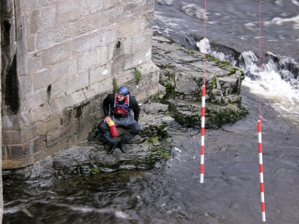
Once we emerged from the trees making ground towards Llangollen, Castell Dinas Bran came back into view and it looked just as steep as this morning. I was hoping that the canoeing was still ongoing. Thomas the tank engine was puffing away in the station yard (it actually had a Thomas face on the front), and the bridge was crowded with onlookers. So we stopped and tarried awhile as the canoeists prepared upstream. I was amazed to see the standby team getting into place, a couple of guys by the riverside in safety harnesses, and two in small extremely buoyant canoes by the bridge parapets. What amazed me was that none of them were wearing gloves – they must have had very little feeling left in their hands. We waited 5 or 10 minutes for the first competitor to come flying down, and fly he did, riding the big waves and plunging down the rapids.
The first canoeist slaloms by
He must have been absolutely freezing
Rather them than me, so we returned to the car just as the first raindrops began to fall. The most amazing thing today was that we walked for 5 hours and didn’t get a drop of rain, whereas 100 miles to the north they had a month’s rainfall dumped on them in a day. Lucky, lucky me……BBC weather forecasts….sometimes they’re brilliant!
My GPS – but only good for short walks!
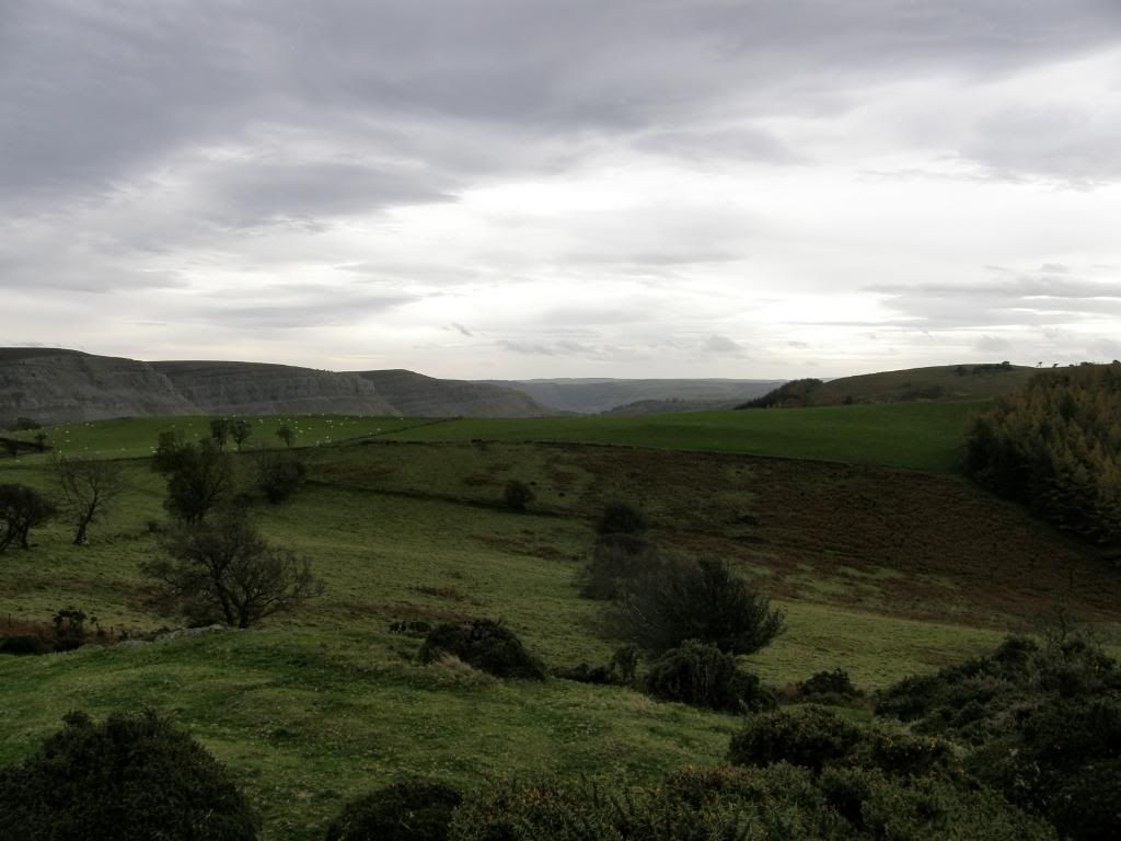
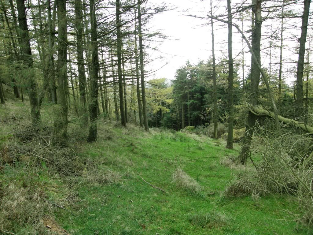
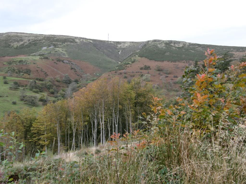
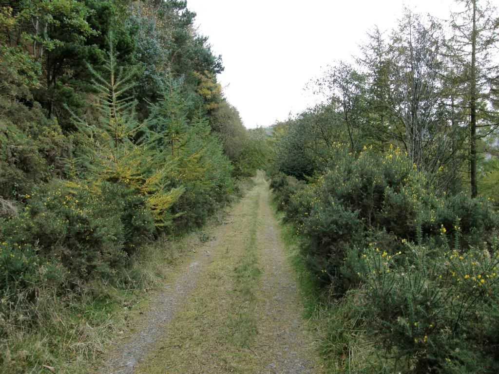
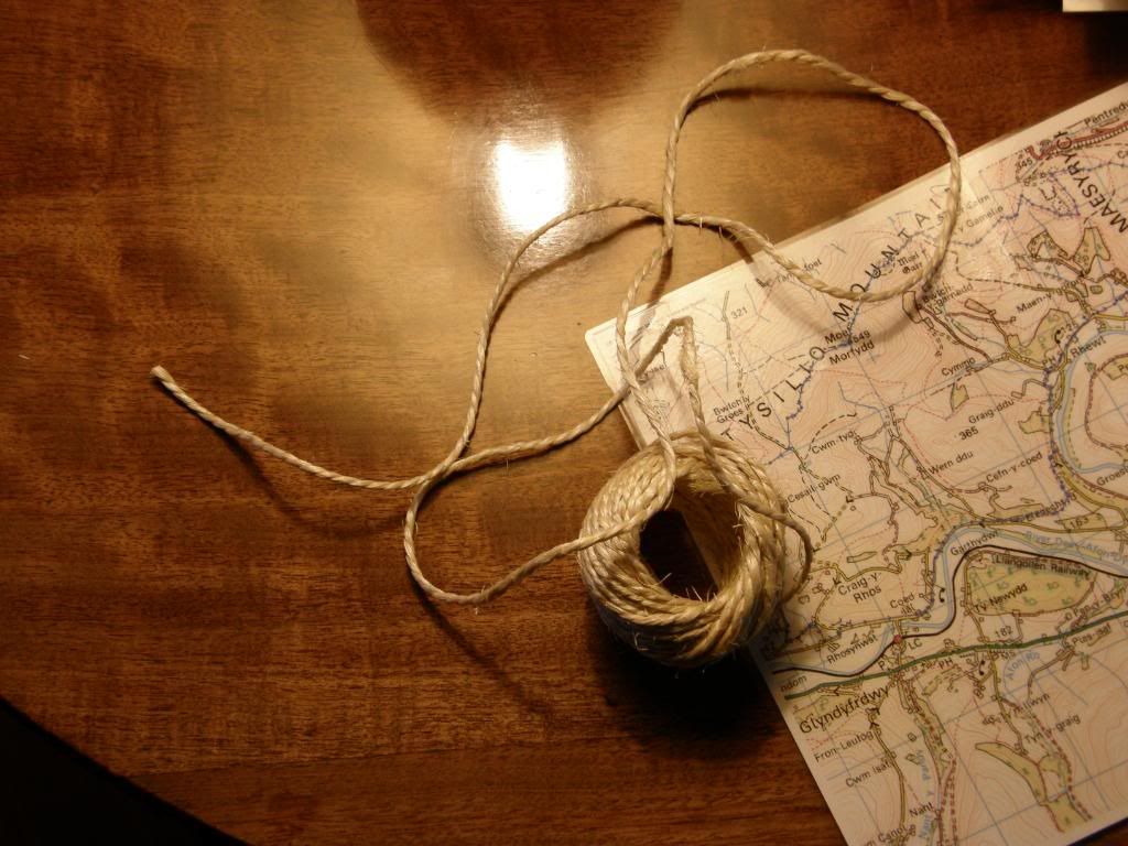

"My GPS – but only good for short walks!"
ReplyDeleteXD. Thanks for the pics, looks like an interesting place and wish i could be there.
I grew up playing on Eglwyseg (or Ruabon) Mountain. The rocks close to Dinas Bran (Trefor Rocks and the Panorama) were where I cut my teeth scrambling, come to think of it I also cut my hands, knees, elbows and well most of my body all-in-all on this section of the Vale of Llangollen. I think it's one of the best parts of the entire country. I've linked to this blog from my own http://blogs.liverpoolecho.co.uk/aintnomountainhighenough/
ReplyDeleteThanks Richard and Mario - I love this place, and I don't think there is another area of the country that looks like this. Not done any scrambling yet - it's too peaceful!
ReplyDelete