Terrific Terrifying Tryfan and the Glyderau
Date: 28th July 2008.
Map: Landranger 115
Weather: Warm sunshine with some cloud and mist on nearby peaks.
A Tryfan scramble followed by a ridge walk, up to Glyder Fach then on to Glyder Fawr, down to the Devils Kitchen and then up to Y Garn. Down the ridge to Llyn Idwal and return to the start: 7 miles on the map, but it feels like 20 miles the next day
Well I woke up this morning with the Manchester blues – yes it was absolutely throwing it down. So I wondered if the forecast I saw yesterday was correct, but as I wanted a good walk I went anyway. Lucky for me I ignored the rain on the way and when I arrived it was still a little misty around the summits, but the sun was shining. There are plenty of parking spaces alongside Llyn Ogwen, all free and you have a choice where to start the route from. I parked about halfway along Llyn Ogwen so I had a gentle warm up at the beginning and a nice flat stroll at the end. One thing you don’t want at the end of a hard day is an uphill finish, so be careful how you plan your walks. The first thing I saw today was a jet screaming along just above the surface of Llyn Ogwen and throwing itself around the corner of the valley. A local out for a bike ride stopped and told me that they often dip down just as they pass the end of the lake. That must be an awesome sight as it looks almost impossible to do it at those speeds.
I walked along the roadside a little way before I came to a path over the wall. This crossed a boulder field and with hindsight it would have been easier just walking along to the base of the Milestone Buttress and walking up beside the wall. All the time I was walking along the bulk of Tryfan looms above with his head in the clouds. It definitely is a ‘he’ as there is nothing dainty about this beast. There are some things to note if you fancy doing this walk – you will need a head for heights, be strong enough for a sustained climb, be able to scramble and climb a little, you will need to pull yourself up a couple of times and have some stamina. All in all it is not an easy route. If in doubt you can take an easier route up to the south side and access the peak from there, although that also involves some steep sections. Have a look at www.youtube.com and search for Tryfan, and then look at the North Ridge video. That will give a feel for this walk (climb really). My route today took me directly up the north ridge once I had crossed over the boulder field. There is a ladder stile in the wall and form there the path quickly ascends beneath the huge buttress.
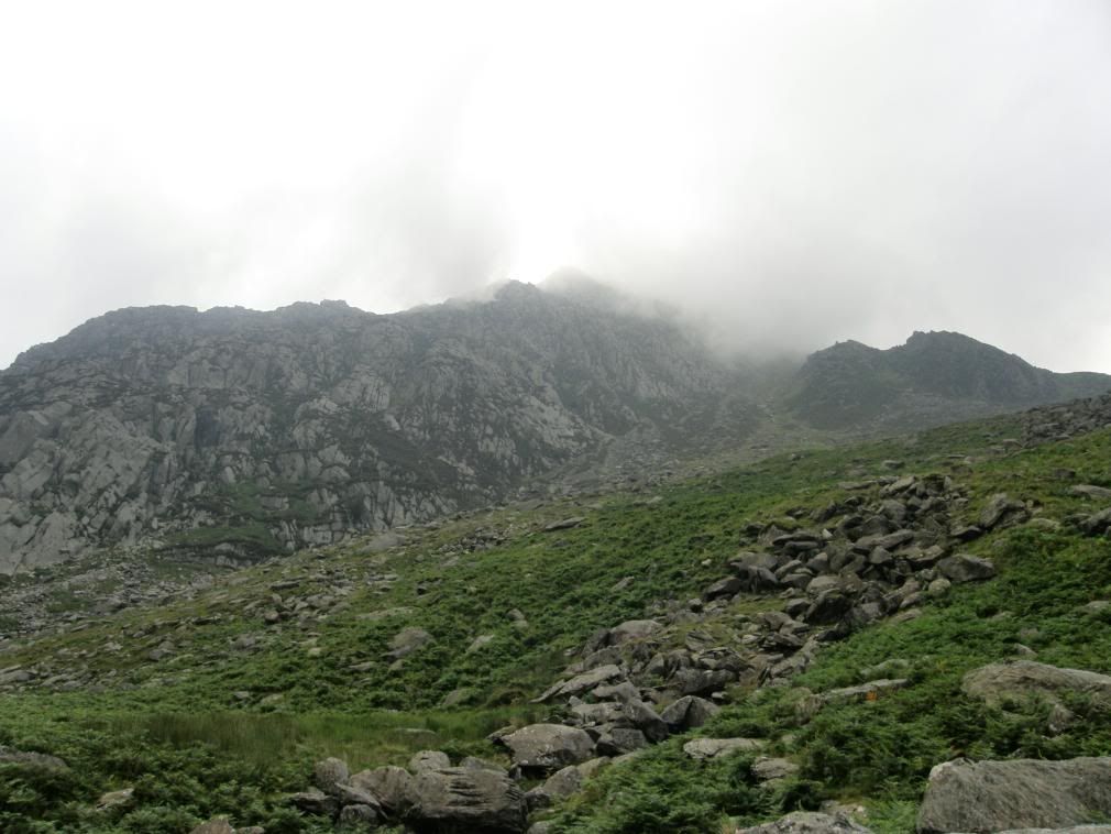
Looking up to Tryfan from the road
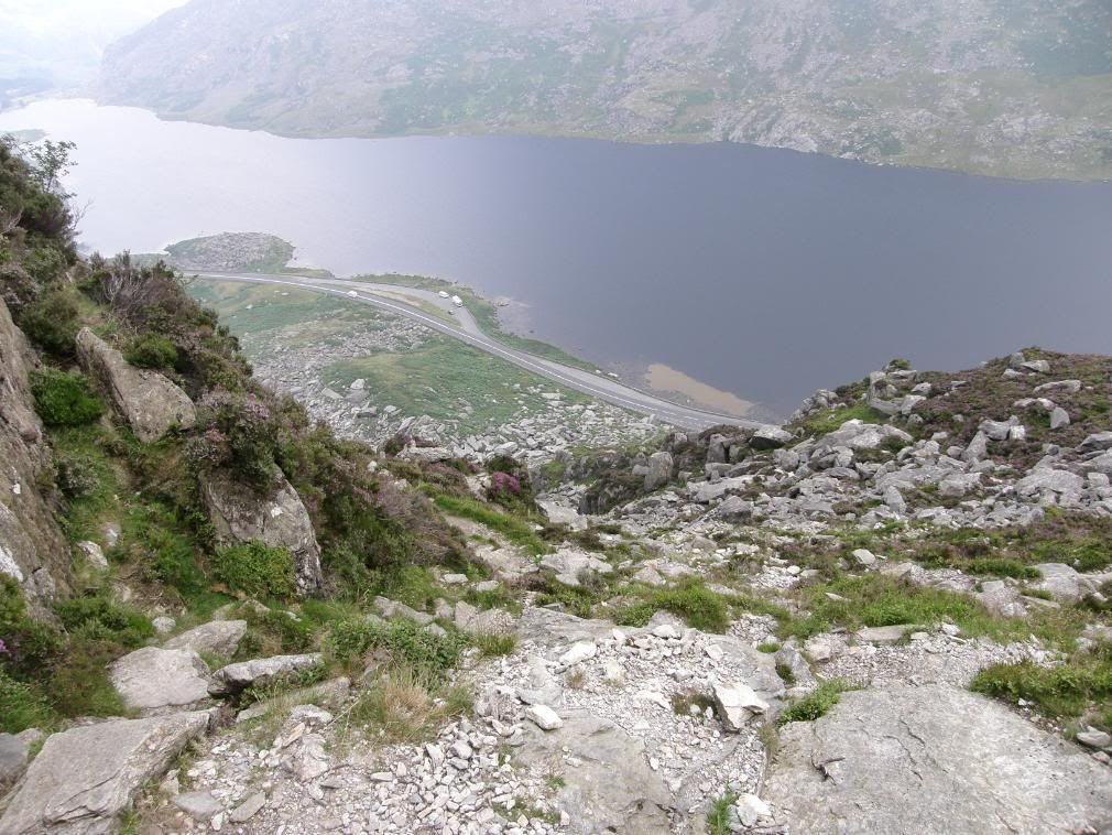
The view back down to the road before the paths diverge
I spent a lot of time today with arm stretched out to steady myself, and that will give you some idea of how steep this is, with much of the time is spent with three points of contact, and plenty of four points of contact. At times the ground ahead is within touching distance of your hands, and every time I looked back and down to the valley road, the road never got any further away – apart from vertically. As I made steady progress I saw a party of about 6 gents starting out below me, which gave me some incentive to get to the top first. The wind was blowing today, but thankfully for me it was sheltered on the north ridge. The path diverges after a little while and goes off to the left to the Heather Terrace path that runs up along the east side of Tryfan for access to the south peak. I took the path heading straight up – the first of many gulps!
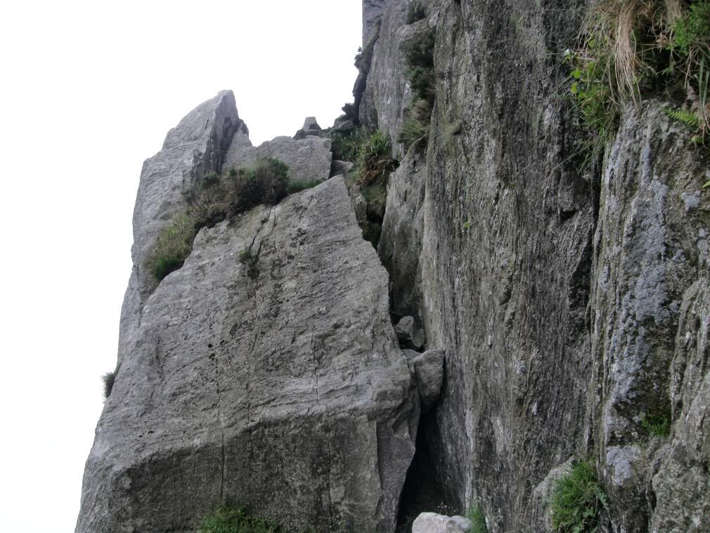
Some airy hairy scrambles ahead
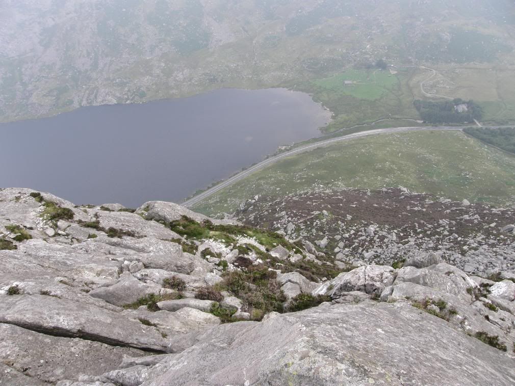
Yikes and I’m not even a third of the way yet
One of the hardest things today was deciding which was the best route up as there are several alternatives on the way. My criteria was that if it looked impossibly steep, it probably was. I found myself up a steep rockface once or twice and had to retrace my steps to find an alternative way up. But there was no getting away from a few good scrambles. They certainly make the adrenaline flow and that helped me keep going. I would have hated to have to go back down – too steep a descent. I tended to follow any well worn paths / smooth rocks and I didn’t go too far wrong. There are flat ledges periodically along the way as you gain height and I took the time to admire the views and put an extra top on to keep warm.
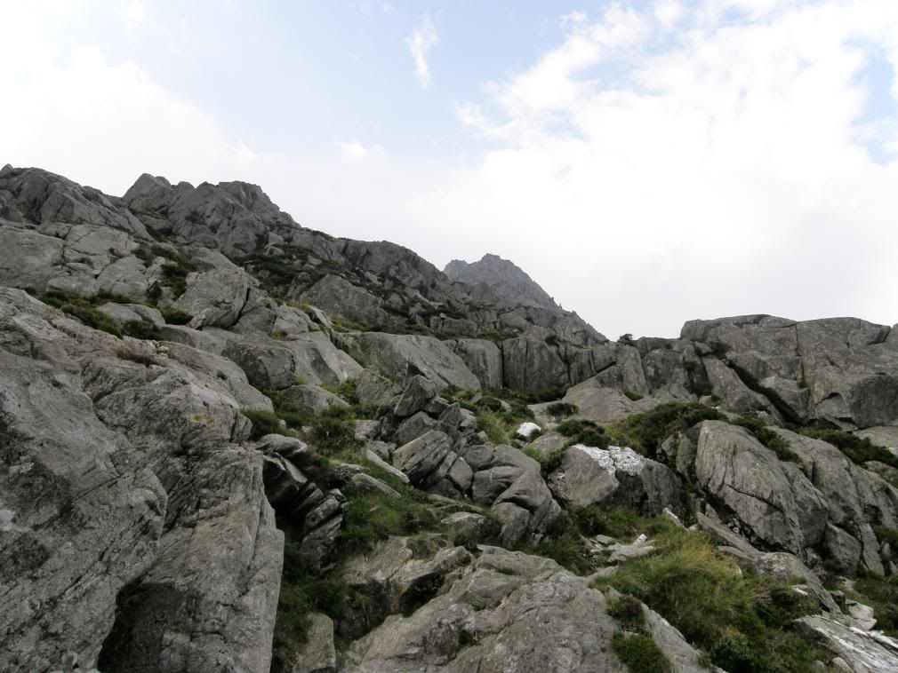
A glimpse of the summit now free of mist
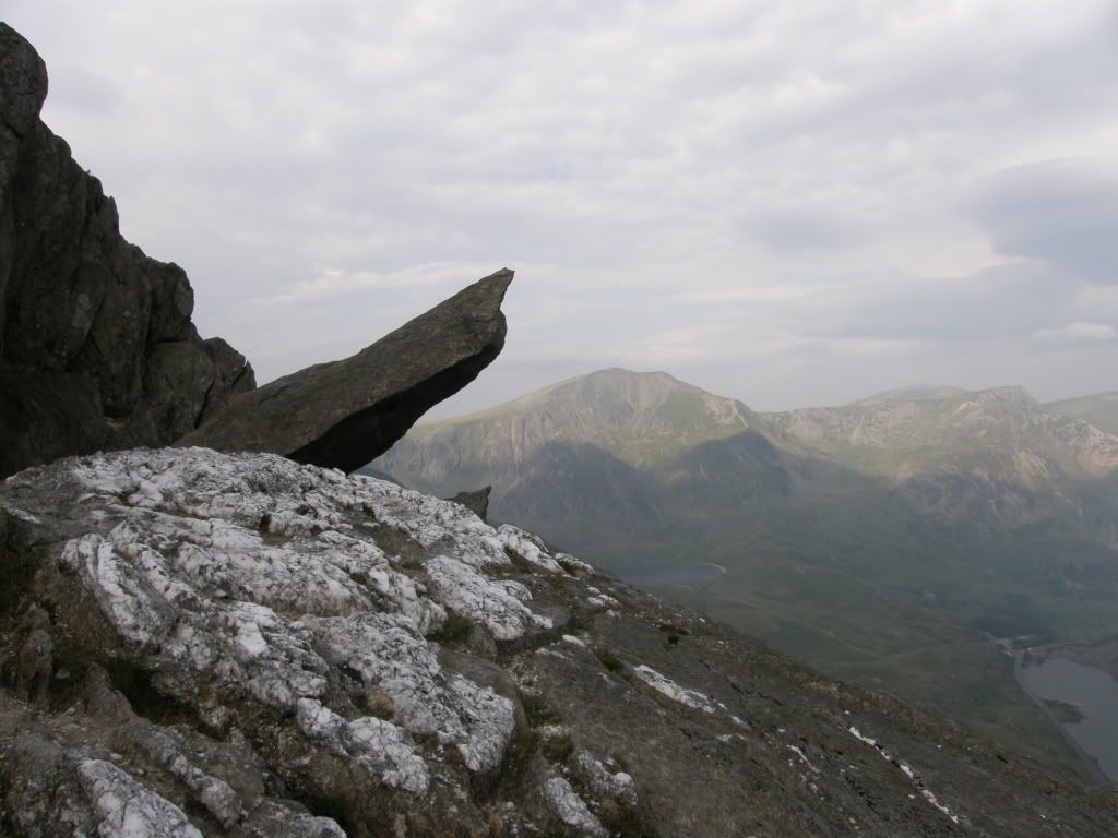
Guess what this one is called? Y Garn in the background
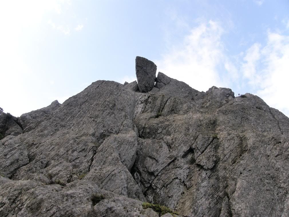
I think a move to the left is in order
A good landmark to know you are on the right track is ‘The Cannon’, a rock splinter leaning over at an acute angle. There is some interesting Geology to see on the way up these slopes, with plenty of volcanic rocks. Most obvious are the quartzite veins, sparkling white in the sunshine and providing a good rough surface for my boots to grip on. Looking up above the cannon is a large boulder seemingly wedged in by a smaller stone – I moved away to the left just in case. A little higher up the gradient ease before the final pull to the top of Tryfan. This notch gave a welcome breather and a chance to appreciate the surroundings without fear of falling off anywhere. The road below still didn’t appear any further away from me horizontally, but vertically was a different story. I was still ahead of the nearest group to me, but only just and I was like the Duracell Bunny today – just kept on going. I imbibed deeply and carried on for the top, one final climb. I looked around for an easy route but there weren’t any, so it was up and over – plenty of good handholds but a little scary in places. I passed by a couple of very steep gullies that come up from the sides, and one of these has to be crossed and climbed up and over. Then the top comes into view and you know the worst of the day is over (nearly) and what views.
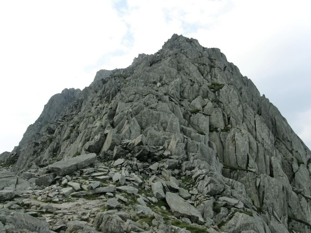
One last scramble to the top – which way to go?
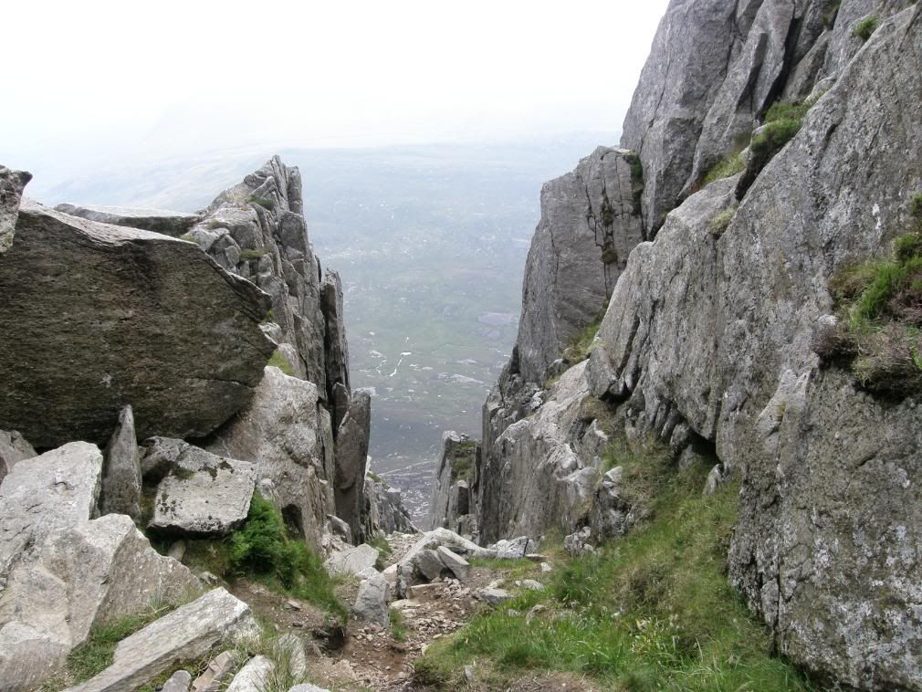
The gully to the east side – crossed from the left and up to the right
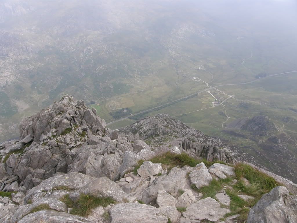
It was so steep and that road is still close by
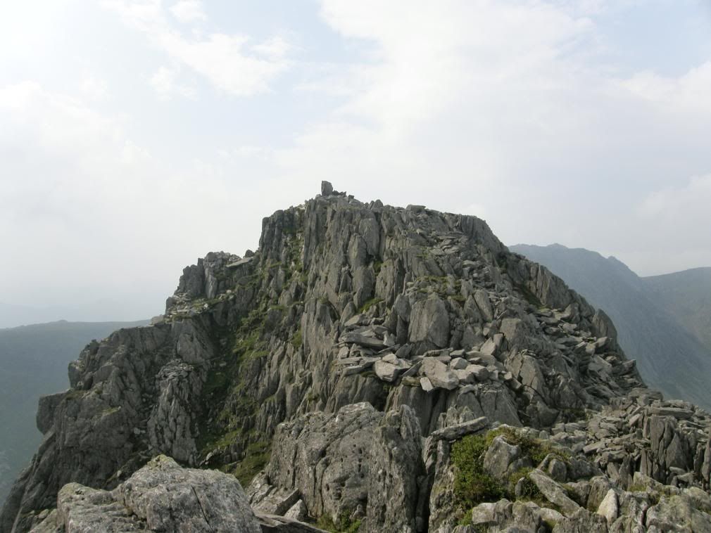
The north summit – Adam and Eve in site
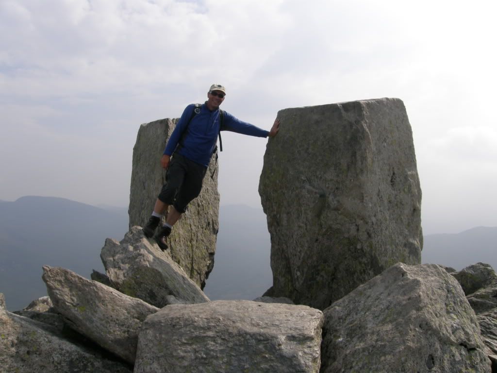
Only me – I was so used to the slope on the way up I couldn’t stand straight!
I scrambled over from the north peak to get to the Adam and Eve pillars just before the rest of the crowd! It took me 2 hours of strenuous effort to get here, but the views were fabulous. The top had cleared of cloud and although a little hazy around I could see clearly the Carneddau to the north, with fantastic views of Llyn Ogwen far, far below me. The summit was a massive jumble of splintered boulders, mostly of a huge size that made for careful walking. The two pillars of Adam and Eve almost look like they have been planted there for the tradition of jumping from one to the other. The gap between them is little more than a stride, but if you don’t watch out the drop to the east side is enormous, so don’t be too cocky! The next part of my journey was across the bouldery top to the Far South Peak and then down to the col of Bwlch Tryfan.
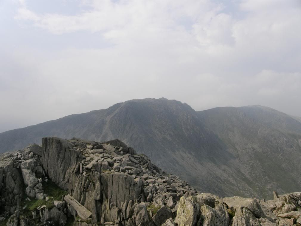
The view across to Bristly Ridge from the Far South Peak
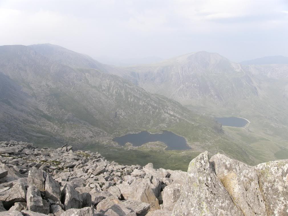
The view down over Cwm Bochlwyd and over to Glyder Fawr
The slopes down off Tryfan were steep and did require a little scramble but nothing like the ascent of the north ridge. Once I was down at the col, I had a good drink and a snack for some energy, and chatted with a family who were thinking about going up Tryfan. The boys gave me a look that said "Don’t say anything that will put Mum off", so I did my best to reassure them that if they took their time they would be OK. I did see the rescue Helicopter later in the day, but that was the other side of the valley so I didn’t feel guilty. There is a confluence of paths here, but my route ahead beside the Bristly Ridge was clear enough. I let the group of 6 gents go ahead of me and get some distance away, as I didn’t want a face full of scree as I followed them up.
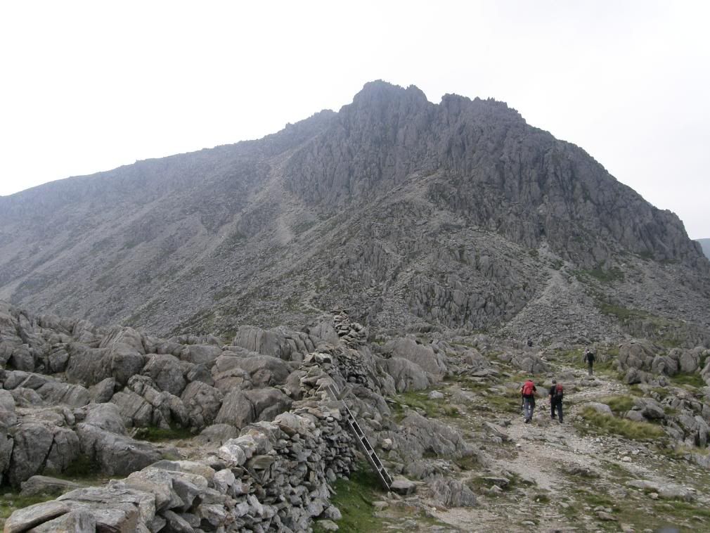
Bristly ridge up to Glyder Fach ahead – the path is up the left side
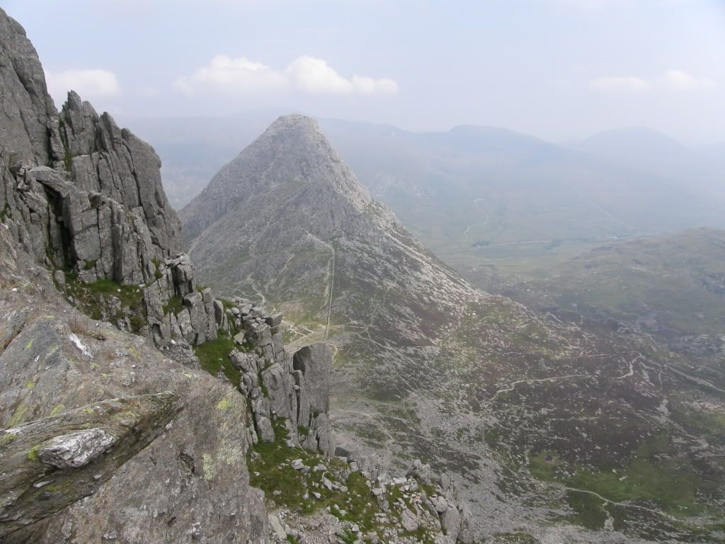
Tryfan from Bristly Ridge, a great view back with the Carneddau beyond
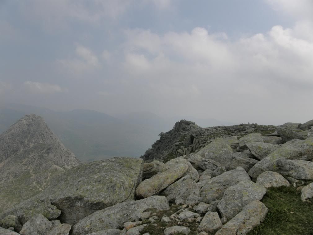
Cresting the ridge up to Glyder Fach – Tryfan starts to disappear
It was a stiff climb up the side of the ridge and I stopped frequently to catch my breath and look back to Tryfan. It looked as good from the south side as from the north side, like an upturned ice cream cone, almost alpine in nature. As I crested the rise up to Glyder Fach the Snowdon range came into view and although it was misty, I could recognise the Snowdon horseshoe route. From this aspect Crib Goch looked a lot steeper than I remember when I was up there, but at least I could finally get some shots of Snowdon itself without it’s cloud covering. The summit of Glyder Fach is a mass of shattered rock which spike up skyward. Just before I reached the summit I passed by the famous ‘cantilever rock’. I couldn’t find the adjustment for my self timer, so had to content myself with a shot looking back with someone else on it. They are massive slabs of rock up here, so I climbed up and found myself a sheltered spot with a view and had a good break for lunch. It was very peaceful up here, broken only by the sight of a purple thong that hove into view as a couple came past. I didn’t have the heart to shout out "I can see your knickers" and my camera wasn’t quick enough to get a shot – and no, I didn’t try too!
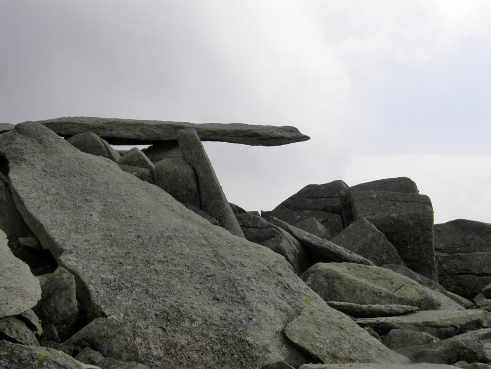
The famous Cantilever Stone – it’s huge
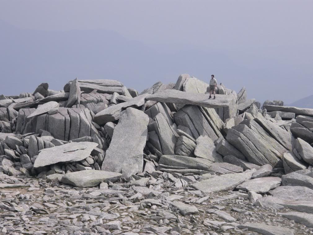
It would take a rugby team to topple this – don’t try it!
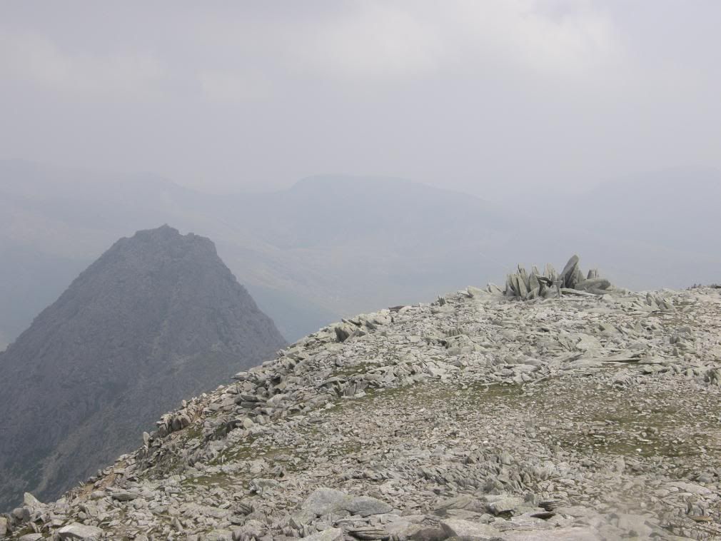
The view back to Tryfan from my lunch break – very bright light now
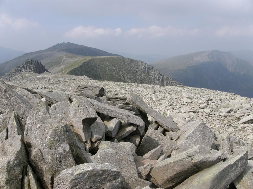
The path ahead towards Glyder Fawr
After a well earned rest, I scrambled back down off the summit to something resembling a path – a faint light coloured track across the stony ridge. Snowdon now dominated my view and although hazy it was getting nearer and clearer. The walk along the ridge was easy, but tough on the feet as constant walking on rough ground takes its toll. Stone cairns marked the way ahead and as I got closer to Glyder Fawr (5m higher than Glyder Fach) the landscape started to resemble a moonscape. It was a mass of vertically pointing, ice shattered rock splinters, glinting in the bright sunlight. It gave a good focal point with Snowdon in the background, and if you buy the landranger map, you will see the front cover picture is similar. I passed by the side of Castell y Gwynt on the way towards the summit on the south side as the north side isn’t too inviting! I suppose you could go over the top if you had the energy.
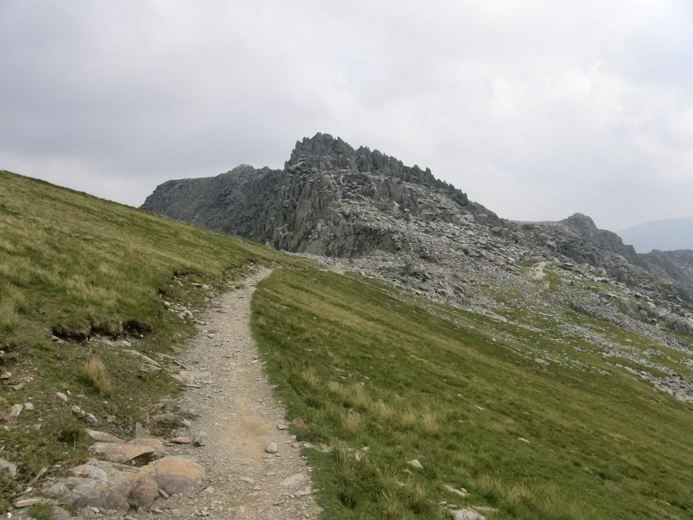
Looking back towards Castell y Gwynt and Glyder Fach
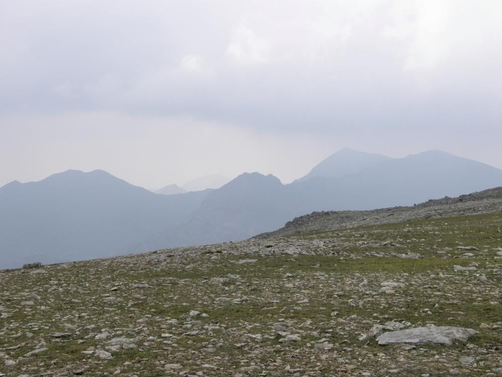
The Snowdon horseshoe
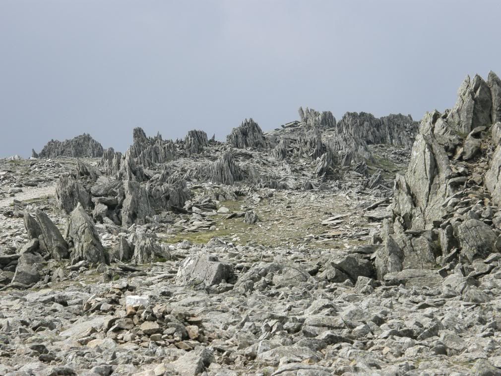
The moonscape towards the summit of Glyder Fawr
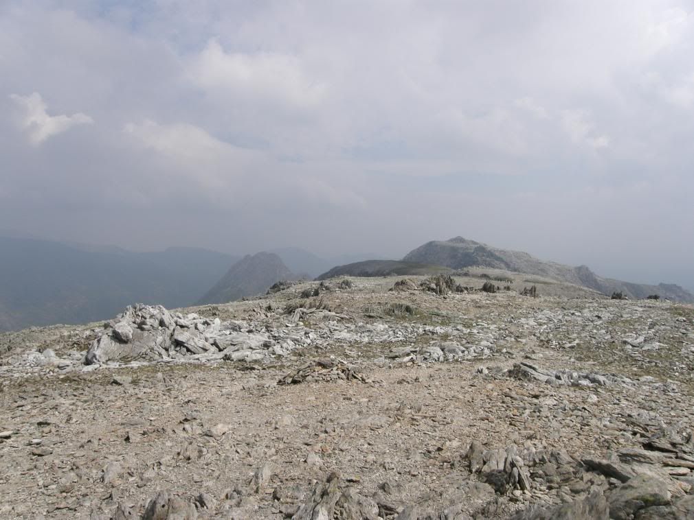
Looking back to Glyder Fach
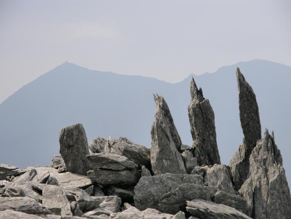
Three penguins looking at Snowdon – see the landranger map cover
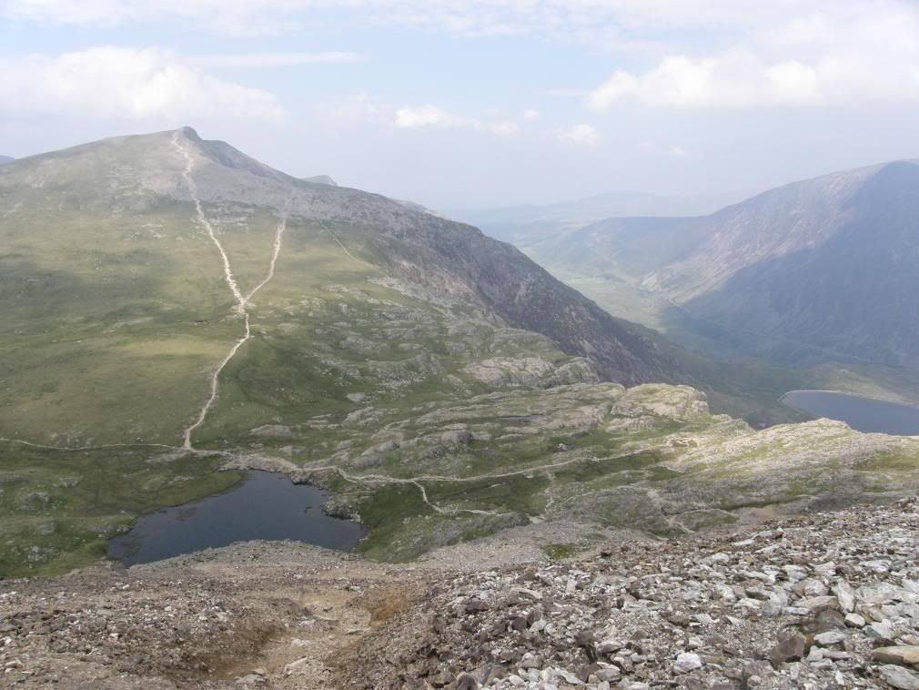
The scree slope down to Llyn y Cwn and Y Garn beyond
From this point down the hillside was a massive scree slope and not great for walking down. It was very steep and loose in places, but as before the views more than made up for the shortcomings. Down below me was the small lake of Llyn y Cwn, with the apply named Devil’s Kitchen to the right. I had planned to drop down the path from the Devil’s Kitchen and return from there, but I wasn’t paying attention and was enjoying myself so much, I ended up walking up to Y Garn – whoops. I made it down the slope, and could hear the group of 6 chattering away behind me. There were a few people around the small lake having a picnic, and sharing it with a few midges. They weren’t really bothersome as they are in the West Highlands of Scotland at this time of the year. The path continued up the side of Y Garn and although it was an ascent of over 700ft, it felt quite gentle after the hard work earlier on. I made the summit in one go, as the path gently zigzagged along the upper slopes. I could hear the Snowdon train gently chugging away across the valley, but it was still too misty to see properly. It was at this point that it dawned on me that I had climbed a mountain too far – another Wallace and Grommit moment – it’s the wrong mountain lad! But the views more than made up for it, a whole panorama of Snowdonia. I met a German couple here who didn’t have a map and the lady didn’t like going down steep paths – oops. So I showed them the lay of the land, and they showed me their little pamphlet with a picture of the hills on and told me where I was – who was I to argue! I knew where I was because all the Llyns and valleys were laid out beneath my feet. There was a fantastic view back down to the Ogwen valley, with my car a microscopic spec in the distance.
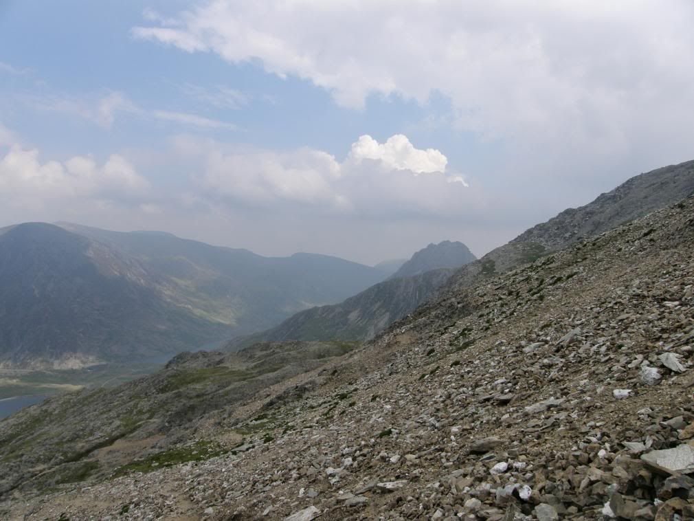
Tryfan still poking his head above the slopes, the Carneddau beyond
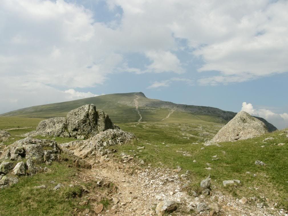
Y Garn tempts me with her charming curves – walk this way sir
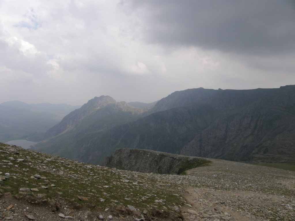
A panorama of today’s walk – you know Tryfan by now
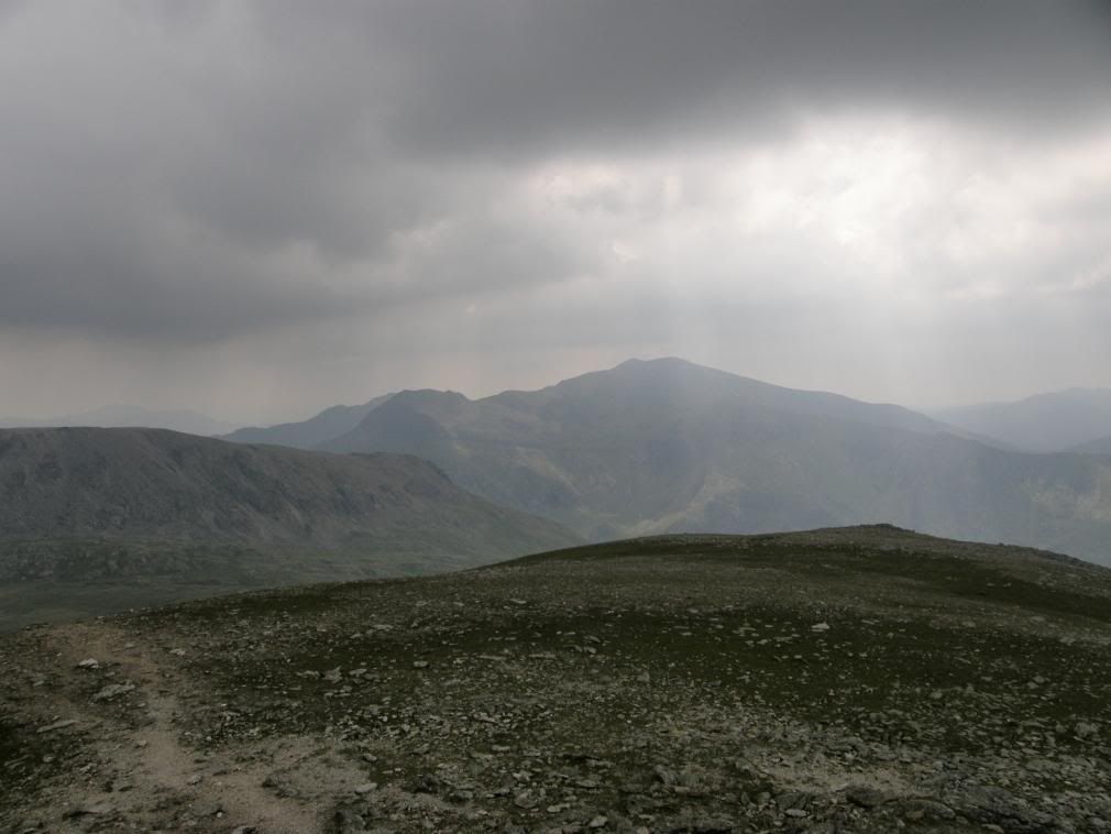
Snowdon in a ray of sunlight
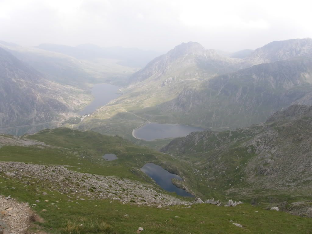
Tremendous views down the valley
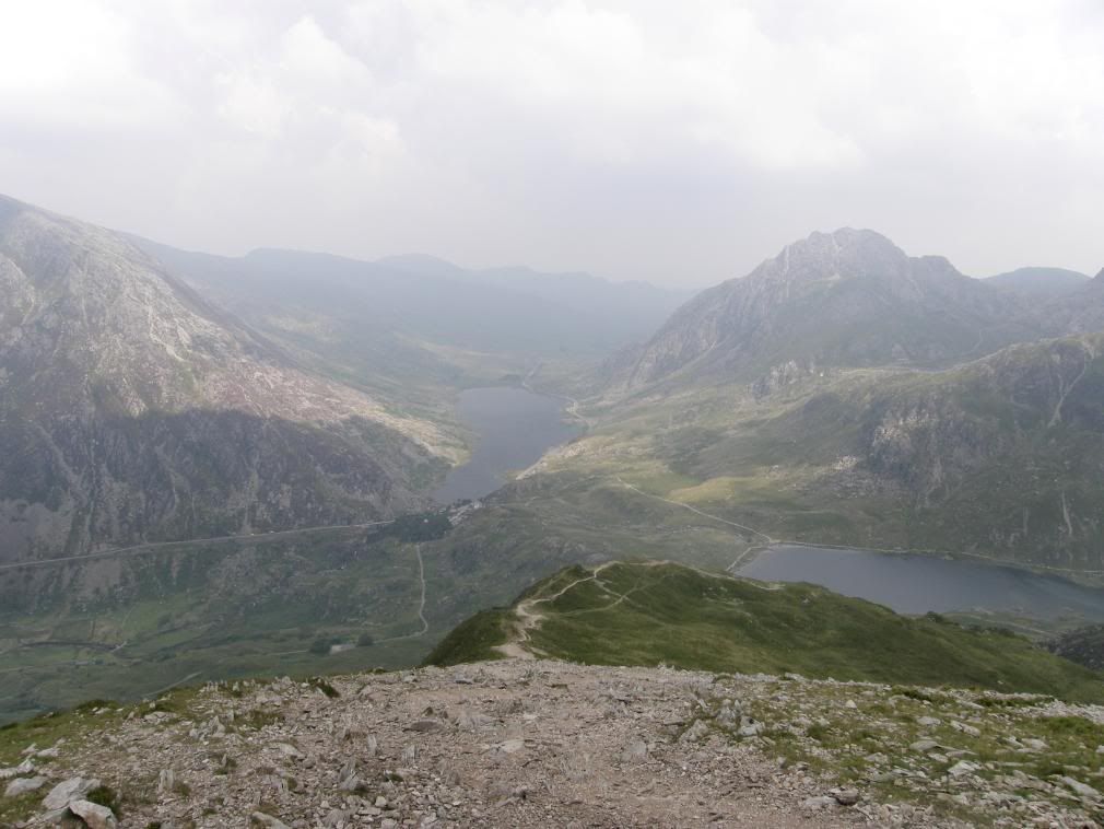
And now the car was far below and away by Llyn Ogwen
The path down from Y Garn to the valley below is long and steep, but a jogger came running past, so it wasn’t that bad. On the lower slopes there are large bags of stones that have been dropped off by helicopter, to repair the path at sometime in the future when they have the funds to do so. The route down here is as steep as the drop down the Devil’s Kitchen and ends up at the shores of Llyn Idwal.
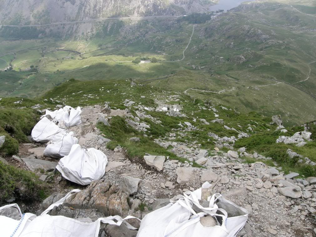
Bags of boulders for path maintenance
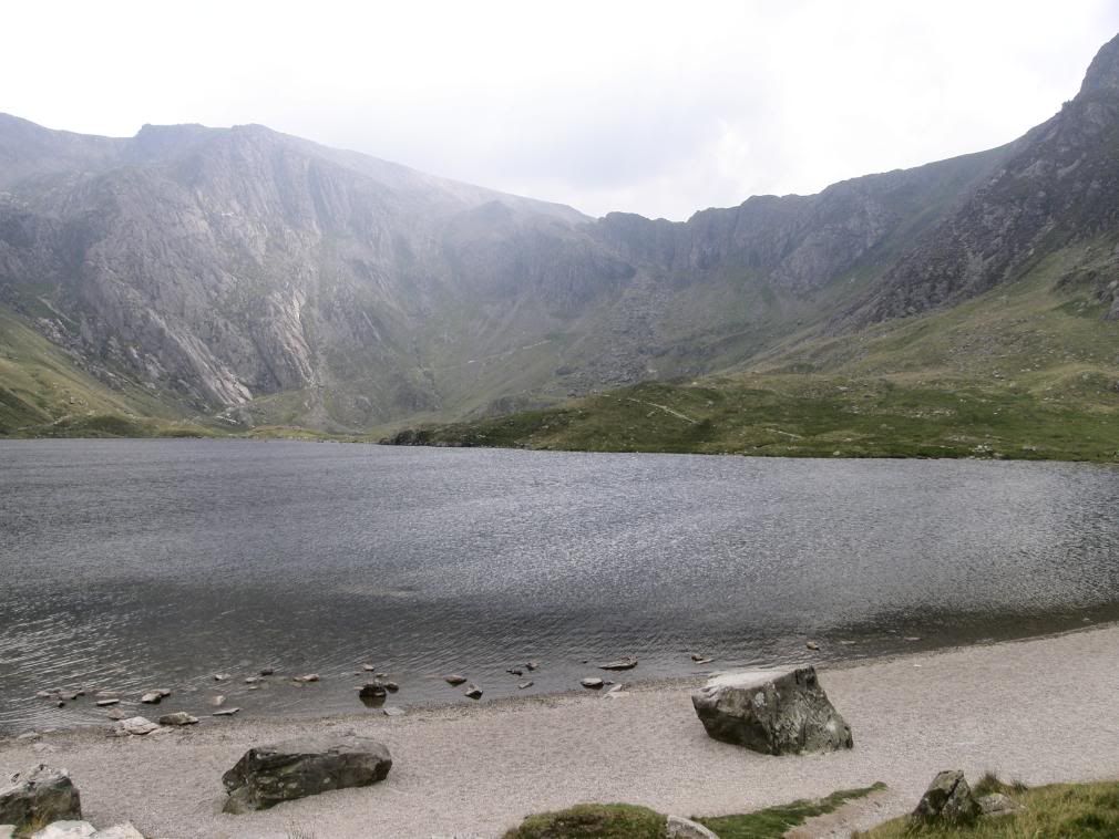
Devils Kitchen – Gordon Ramsey is nowhere to be seen
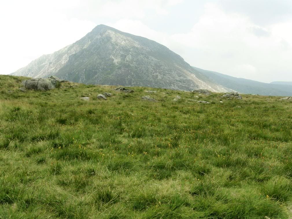
Pen yr Ole Wen across the Ogwen valley
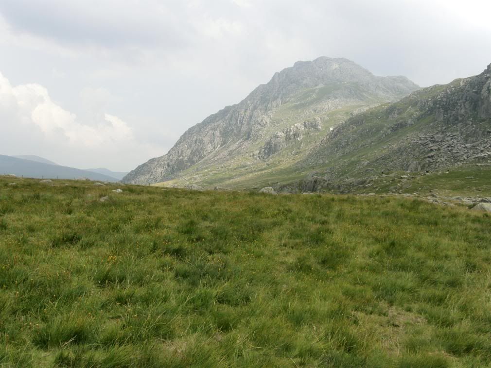
Tryfan showing the whole of the north ridge – left to right
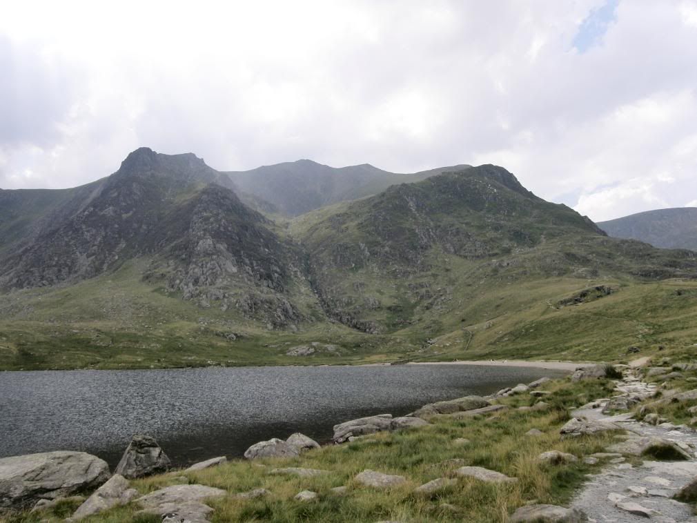
The route down from Y Garn – from Llyn Idwal – spot the white bags
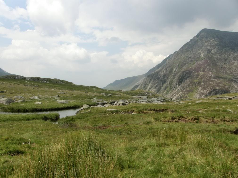
If you’re in a jet turn right here – quick
As the various paths converged, so did a steady stream of walkers – some kitted out for a full blown Everest expedition and others with cardigans and flip-flops on. As I dropped down into Idwal Cottage over the stream, another jet roared by in spectacular fashion, a nice tribute to my great days walking. I bought myself an ice cream and a fizzy drink and meandered along the A5 towards the car park.
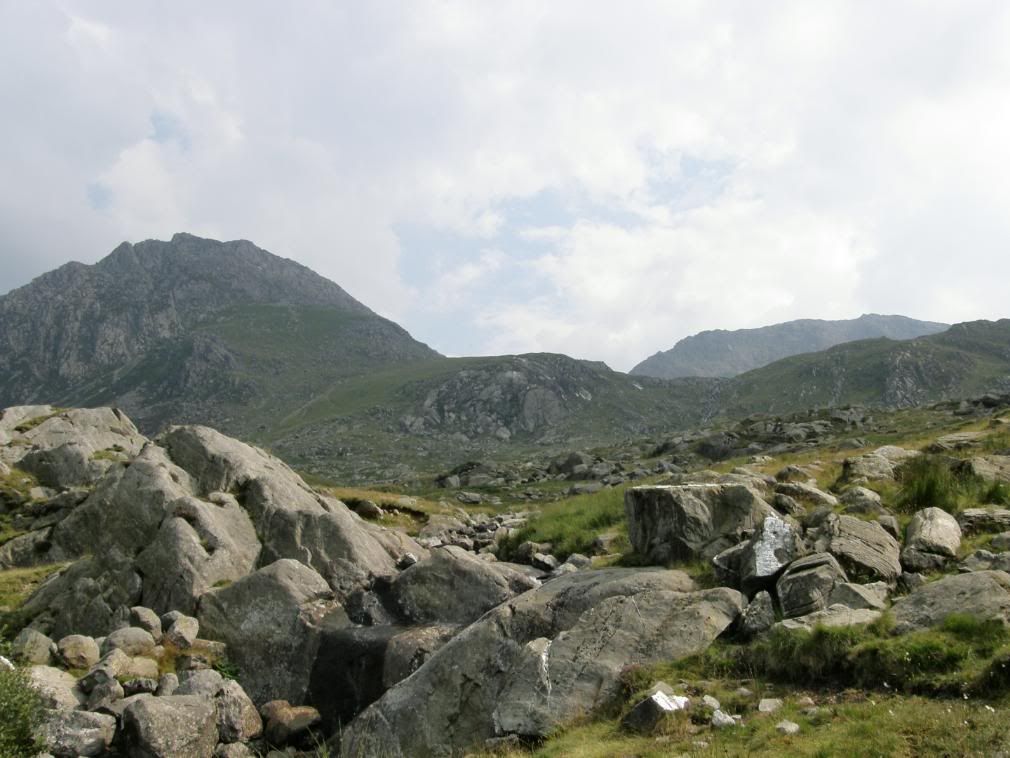
Guess who? Begins with ‘T’
Tryfan once again dominated my viewpoint and I smiled as I thought about the scrambles of this morning. Another challenge ticked off and for a change clear views from the top. The next day my legs and shoulders felt like I’d been down at the Gym all day, but with walking like this, who needs the Gym? This isn’t just any hill this is a walking, scrambling, climbing hill – it’s all brilliant.

Thanks loved reading this .. Thanks Suzanne from Anglesey
ReplyDeleteYou're very welcome. Much more stuff on my new site BTW.
ReplyDeleteGreat write up. I'm planning this route in a couple of weeks. Any idea how long it took you for the whole round trip? Given half decent weather, I'm hoping for no more than 8 hours total, but not sure if that's realistic from some of the stuff I've read about this route!
ReplyDeleteThanks Pete great pictures and good route discription going up this weekend .....
ReplyDeletePete
ReplyDeleteHi I did this on the 17.05.2014 what a monster of a walk the weather was great and I was done for the next few days, every muscle had been tested.
Thank Wayne
Hi Pete I did this on the 17.05.2014 the weather was amazing, by the end my legs were all for giving in, however the views were stunning and the next few days after reminded me of what a work out it was every muscle was done...
ReplyDeleteThanks Wayne