Welcome to my day walks

The dates listing these walks are the dates I uploaded the stories. They are in no particular order, and it doesn't matter because you were directed here from elsewhere!! I hope you enjoy the journey..


The Clwydian Hills

A jaunt up Jubilee Tower

27th March 2009.
Map: Landranger 116
Weather: Overcast, with a strong wind from the west, but thankfully dry.

From the car park at Bwlch Penbarra follow along the Offa’s Dyke trail to Bodfari: a 9 1/2 mile stroll as measured on memory map.


Copyright OS-Click on map to enlarge, then hit the back button to return to blog

Today’s walk was suggested by Graham, and it was nice to revisit a portion of Offa’s Dyke that I had walked many years ago. The route took in the hills of the Clwydian range, and for those walking north on the trail it is a welcome relief to know that your journey is almost complete as the sea comes into view. This was a linear walk so we drove down together and left one car in Bodfari village. The forecast was ok for today – showery, but ok and we actually missed the weather. After parking Graham’s car we drove down in the batmobile to the start of the walk at the car park next to Foel Fenlii. As we drove up the valley the road became steeper and we were both glad that we wouldn’t have to walk up that sort of incline today – good planning. This was the first linear walk that I had had for a while and it made a nice change from the usual loop.
Photobucket
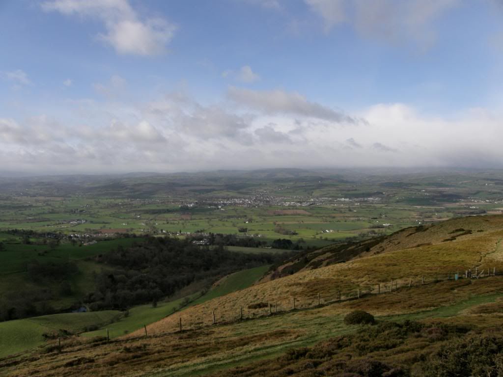
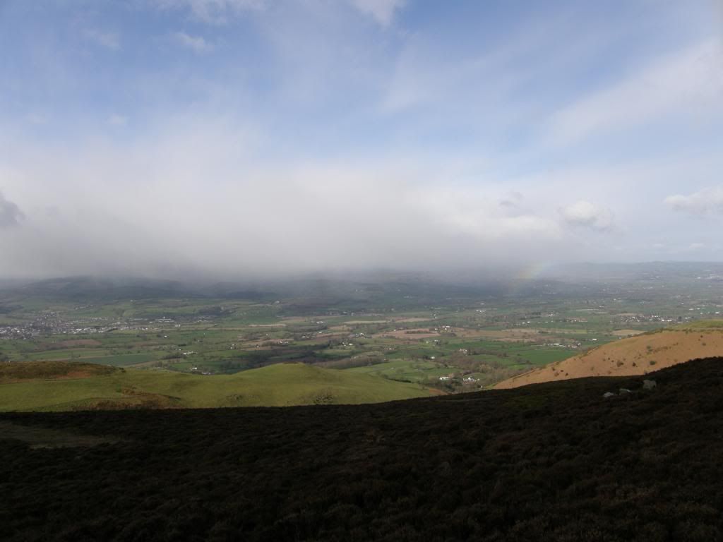
Good views down to Ruthin and the Vale of Clywd
Photobucket
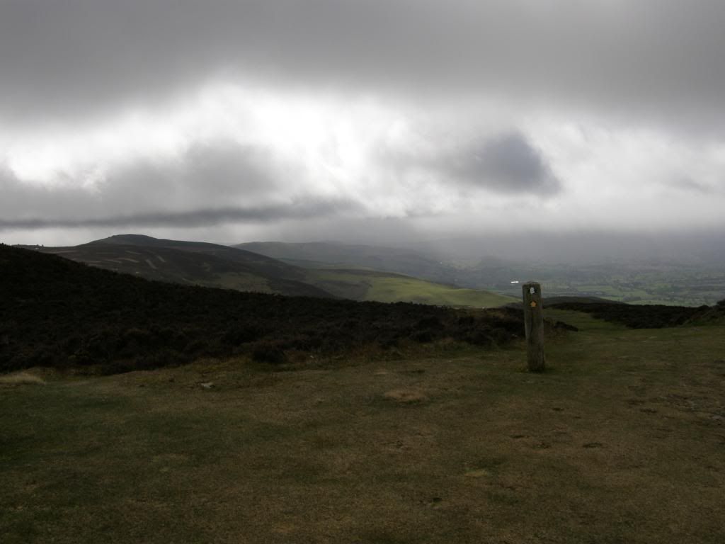
And here comes the rain that passed us by

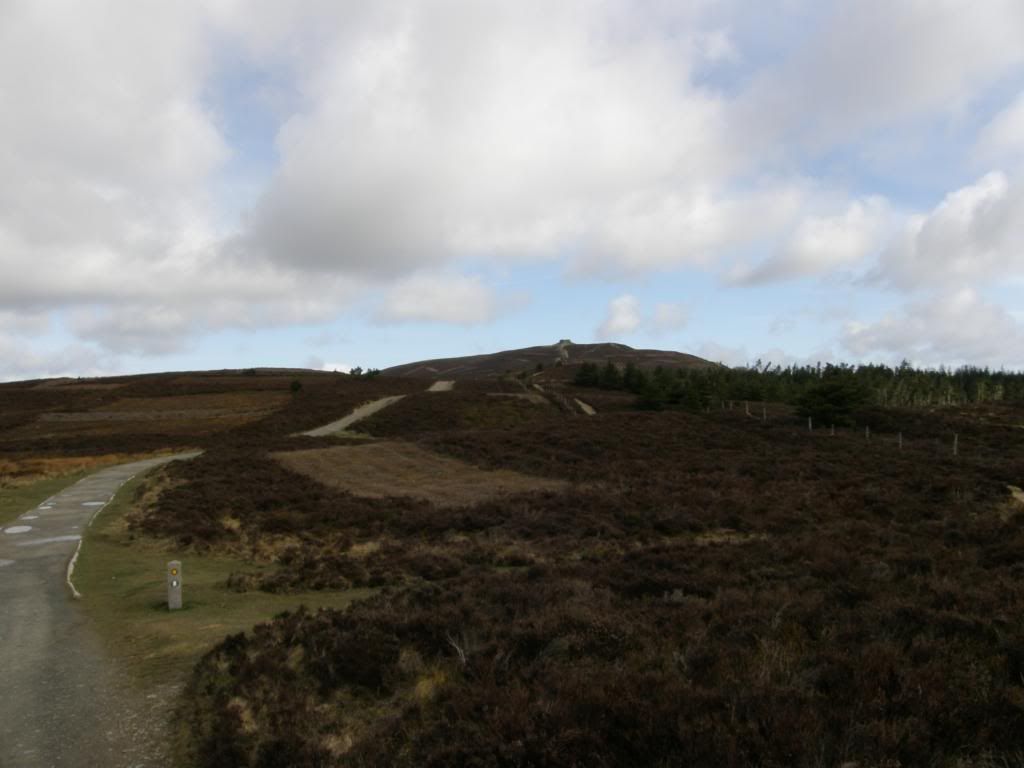
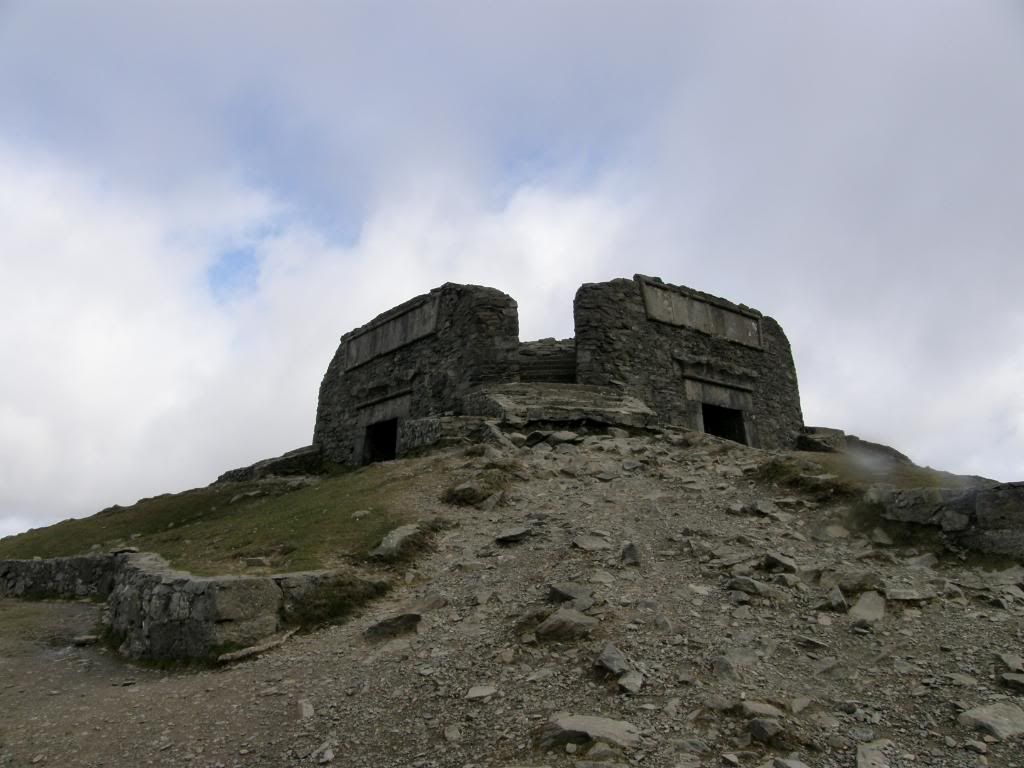
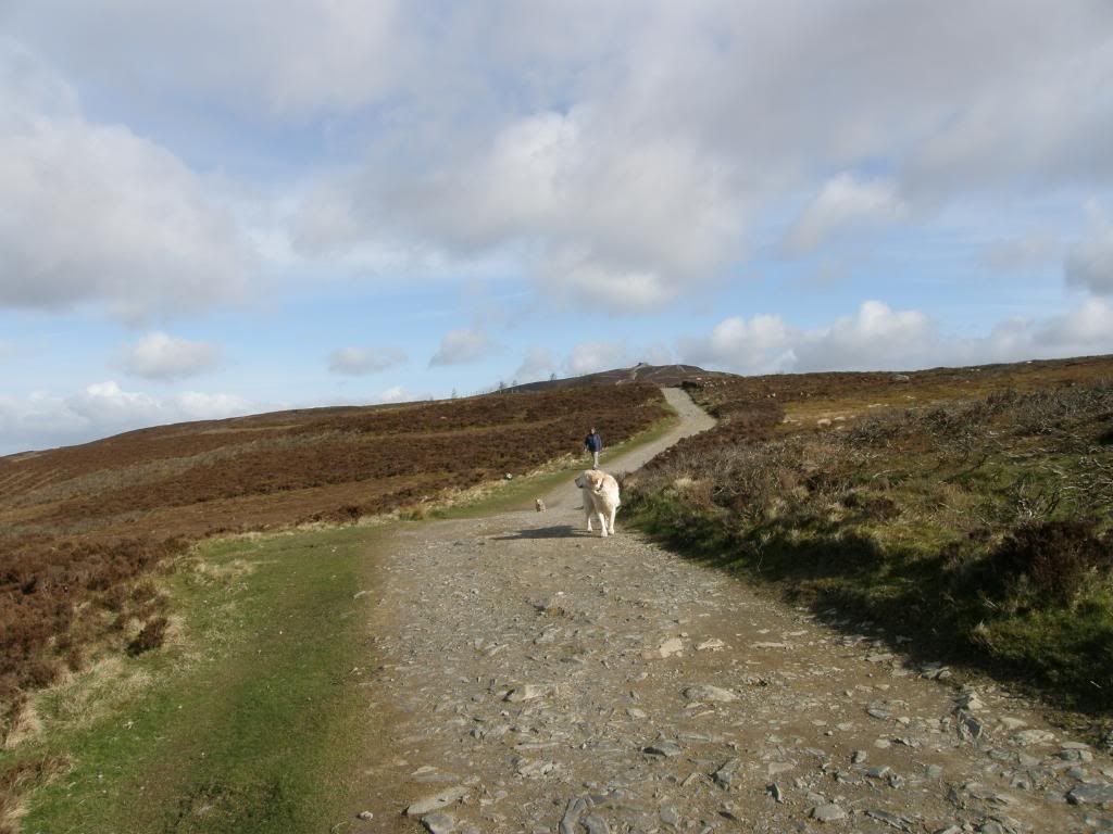
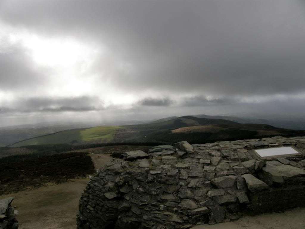
It was very windy at the Bwlch Penbarra as we parked and paid the £2 fee for the day. This car park must be busy at the weekends as it is the nearest spot for a walk up to the Jubilee Tower and close to the town of Ruthin down in the valley below. In fact I’ve stayed in Ruthin a couple of times at The Manorhaus Hotel – a nice place with good rooms, good food, and good company. They have many art works adorning the walls and it is always very relaxing there. We had to wrap up warm today to keep the considerable wind-chill out, and from the car park we had panoramic views of the Vale of Clwyd and Snowdonia beyond, except that today Snowdonia was cloud covered, so we made a good choice. The initial route was a gentle incline up to a motorway of a path that was busy with dog walkers as we made our way up to the Jubilee tower on top of Moel Famau – the highest hill in this range at 554m. The Jubilee tower was built to commemorate the Jubilee of George III, but all that is left are the crumbling ruins of a once fantastic structure, roughly pyramidal in shape, and some 115ft high. It must have had fantastic views of Snowdonia, Cheshire and the coastal plain to the north up the Dee estuary, and Cadair Idris to the south. We could see Beeston Castle in Cheshire sat proudly on its sandstone pinnacle, a great defensive position for a fort, and the offshore wind farms further away past Fiddlers Ferry power station which was belching out huge clouds of steam. The last time I was at Fiddlers Ferry I was drilling horizontal wells for coal bed methane, but that’s another story. The weather coming in from the other side of the valley was threatening and we could see the rain curtain approaching, but luckily for us it was funnelled by the landscape down a valley further to the south of us. All we could see was a glowing rainbow as it disappeared around the corner, and that was the only rain we saw all day – well I say all day but we were only out for a few hours.
Photobucket
Offa’s Dyke path up to the tower

Photobucket
The well manicured route, with the tower remains on the top
Photobucket
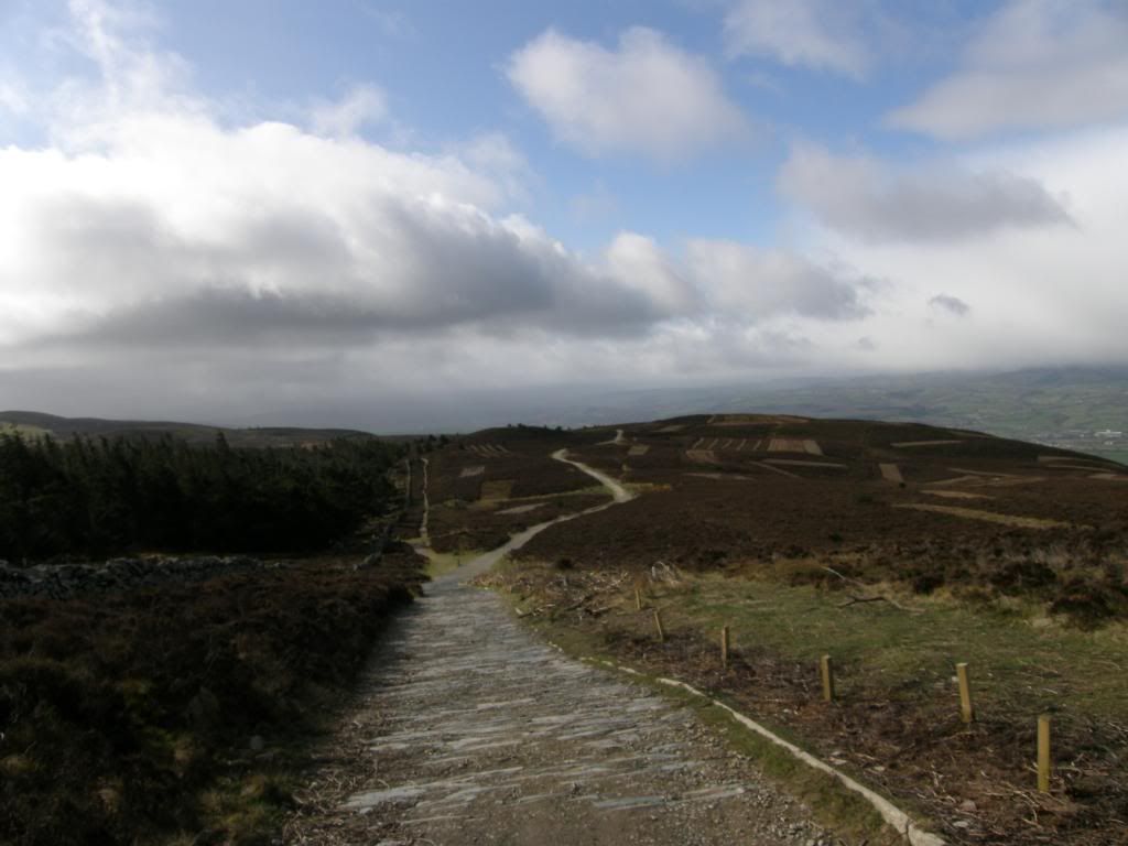
Looking back to the start

Photobucket
The crumbling remains of the Jubilee Tower
Photobucket
And the view to the South and the rain that missed us

Today was a series of up and downs as the valleys along the Clwydian range run in an east to west direction, cutting quite deeply between the summits. I guess this is why there are six hillforts along the hills here, all varying in size and shape, as the defensive ramparts contour around the hillside. There is an archaeological excavation going on down on Penycloddiau Hillfort as I write this up in May – I’ve a bit of a backlog of walks to post to my webmaster. It was easy walking today and only the wind posed a problem later on as it was sideways into us from the west, we just followed the path all the way back to Bodfari and the car. The views didn’t change much today – mostly to the west on our left to Snowdonia that was cloaked in low cloud, so we couldn’t pick out many peaks very well.
Photobucket
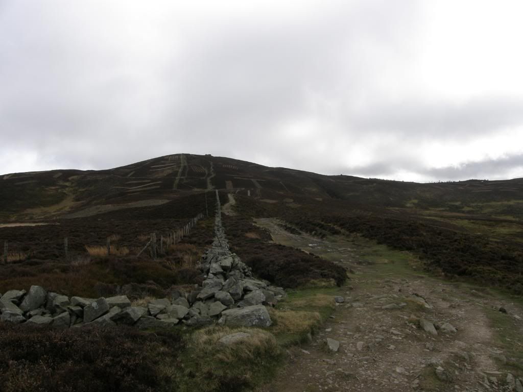
The tower receding in the distance

Photobucket
The bad weather was still to the south of us – ha
Photobucket
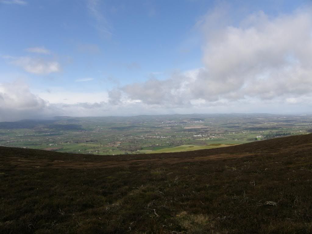
And to the west we still couldn’t see Snowdonia very well
Photobucket
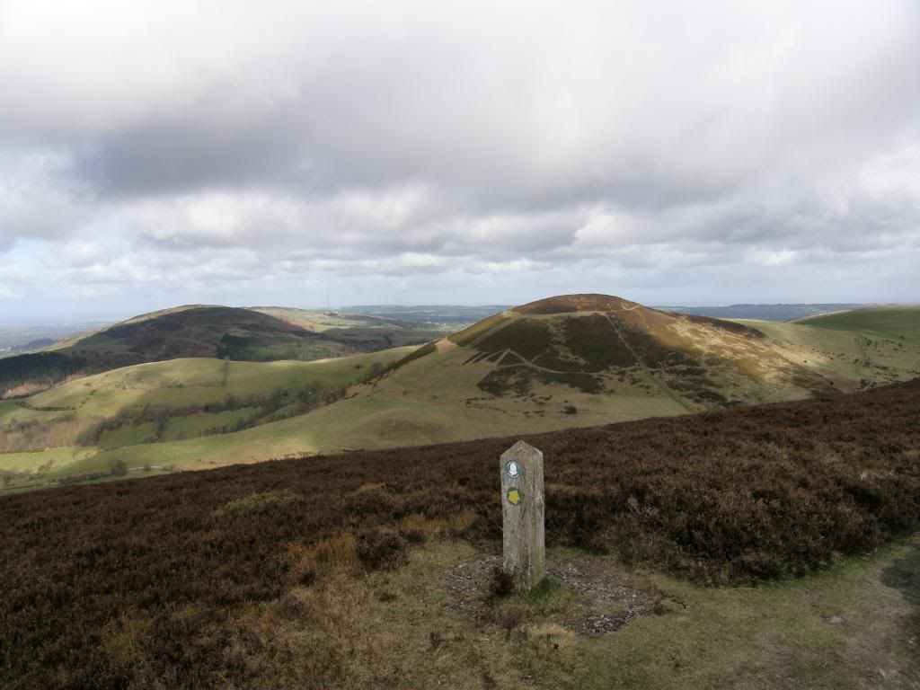
Arthur appears

Photobucket
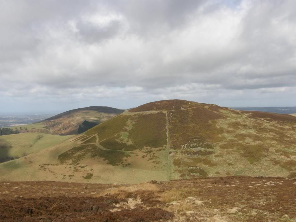
And a closer look reveals the ramparts

The biggest climb and drop was to Moel Arthur – named after Captain Mannering of Dad’s Army fame – sort of round and baldy looking. Viewed from the south it is very symmetrical, but the path skirted around the side easing the gradient somewhat, and we admired the top from a distance. We had a better idea of how big the defensive ramparts were around on the north side where the slope of the land was easier. These are some of the biggest banks and ditches of all the hillforts in the area, and there is a possible Bronze Age burial mound in the centre of the fort – a pimple on top of Arthurs head as it were.
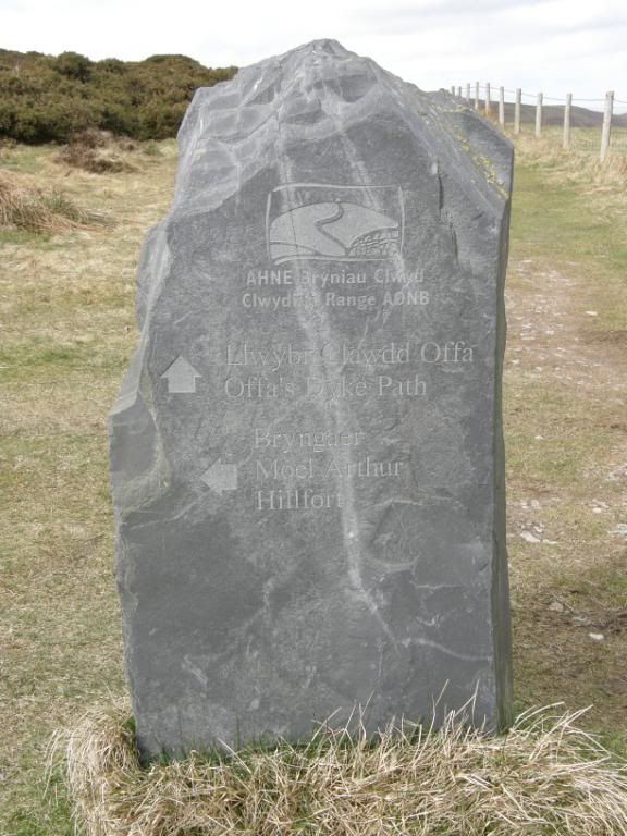
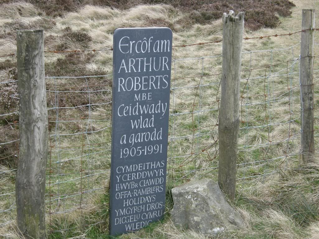
We continued north along the path and passed by a beautifully inscribed slate marker – written in welsh to Arthur Roberts MBE, and once more dropped down into another valley before climbing back up towards Penycloddiau Hillfort.
Photobucket
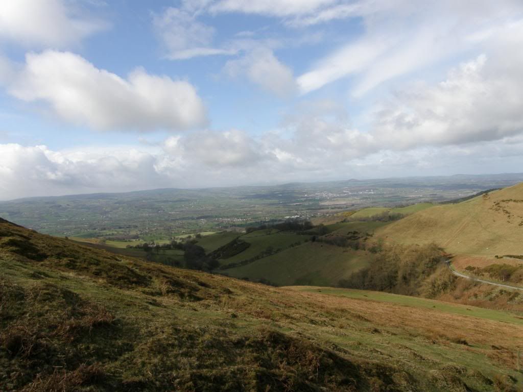
The never changing view to the west

Photobucket
A stone marker for Offa’s Dyke path and Moel Arthur
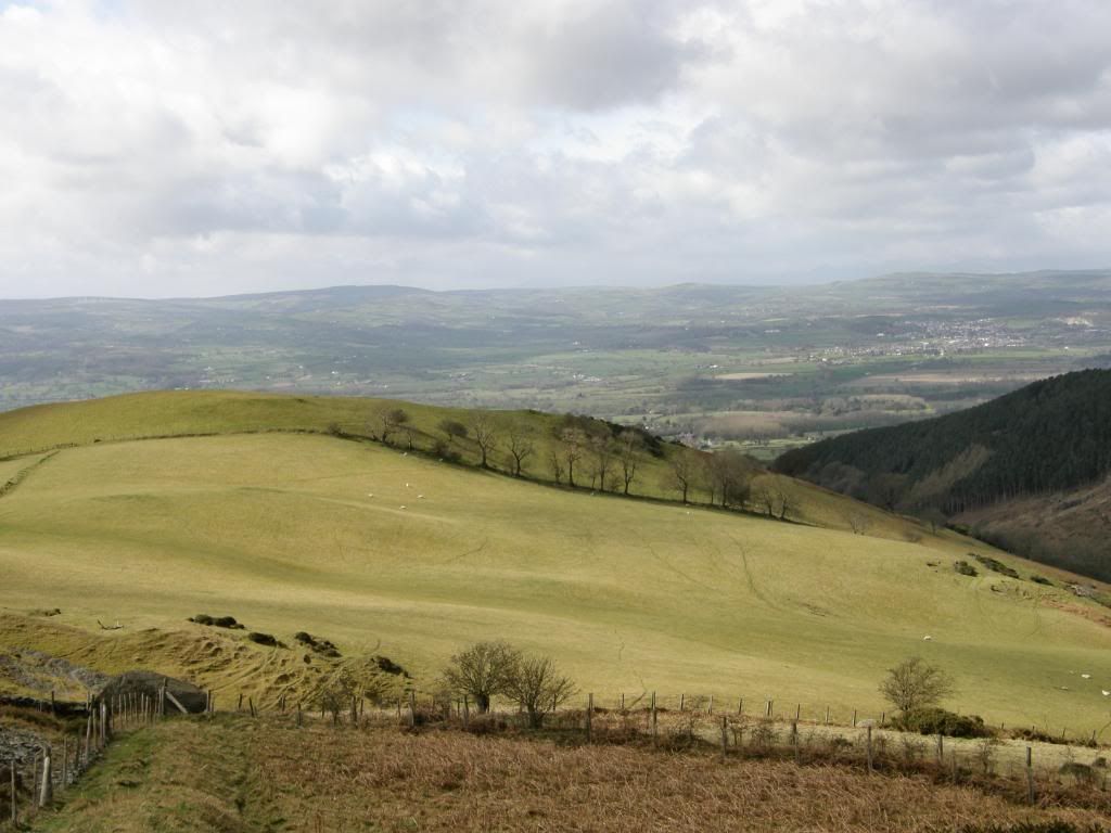
Photobucket
Zoomed in the bare trees make an interesting contrast with the fields
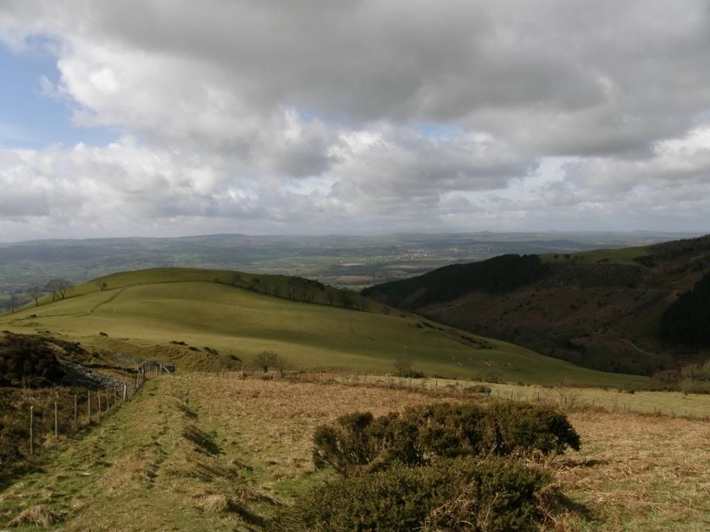
Photobucket
And the same shot not zoomed

Photobucket
The view south from close to Penycloddiau Hillfort
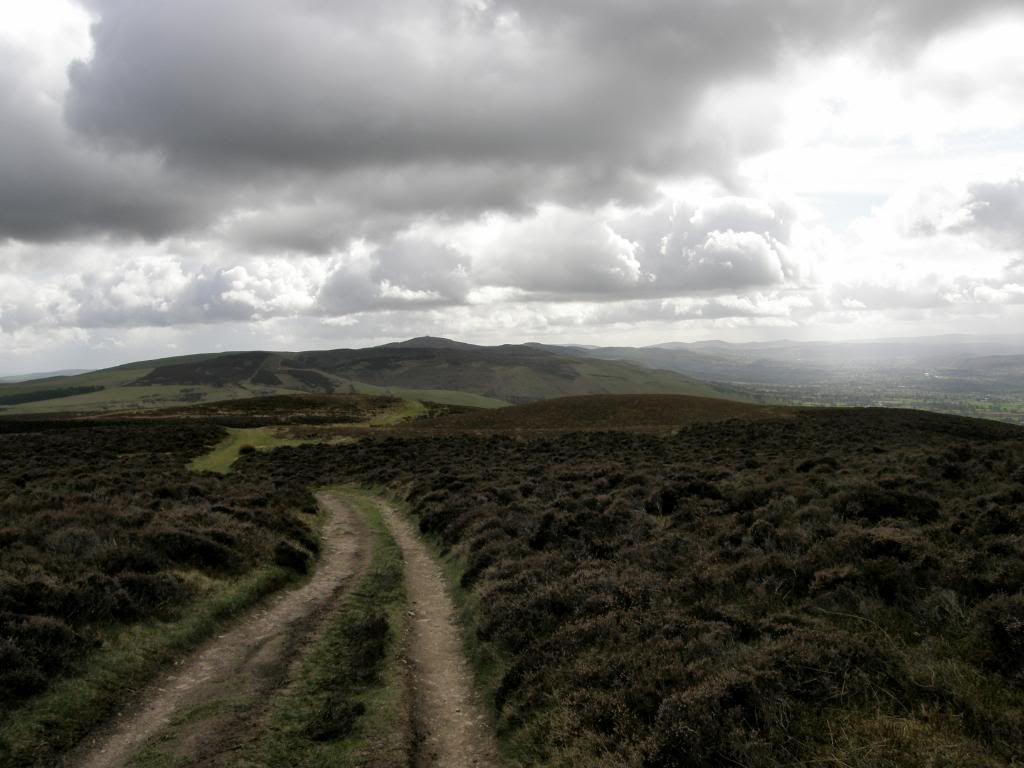
Photobucket
The view all the way back to the Jubilee Tower
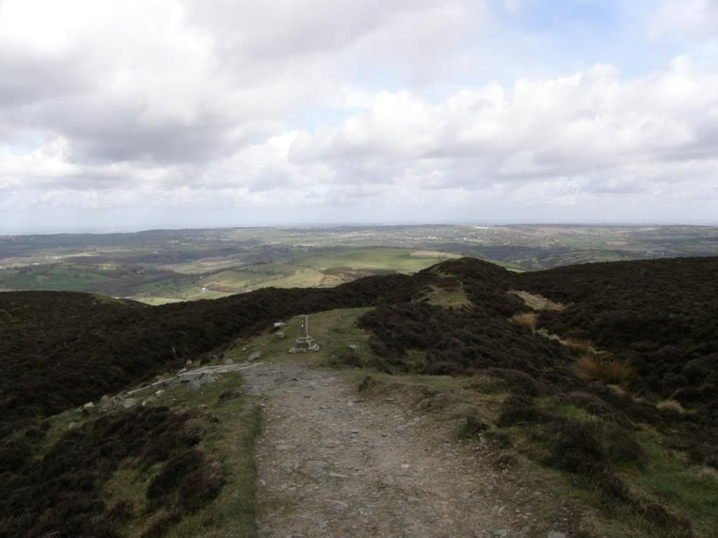
Photobucket
The double ramparts of Penycloddiau Hillfort
Photobucket
Arthur’s plaque

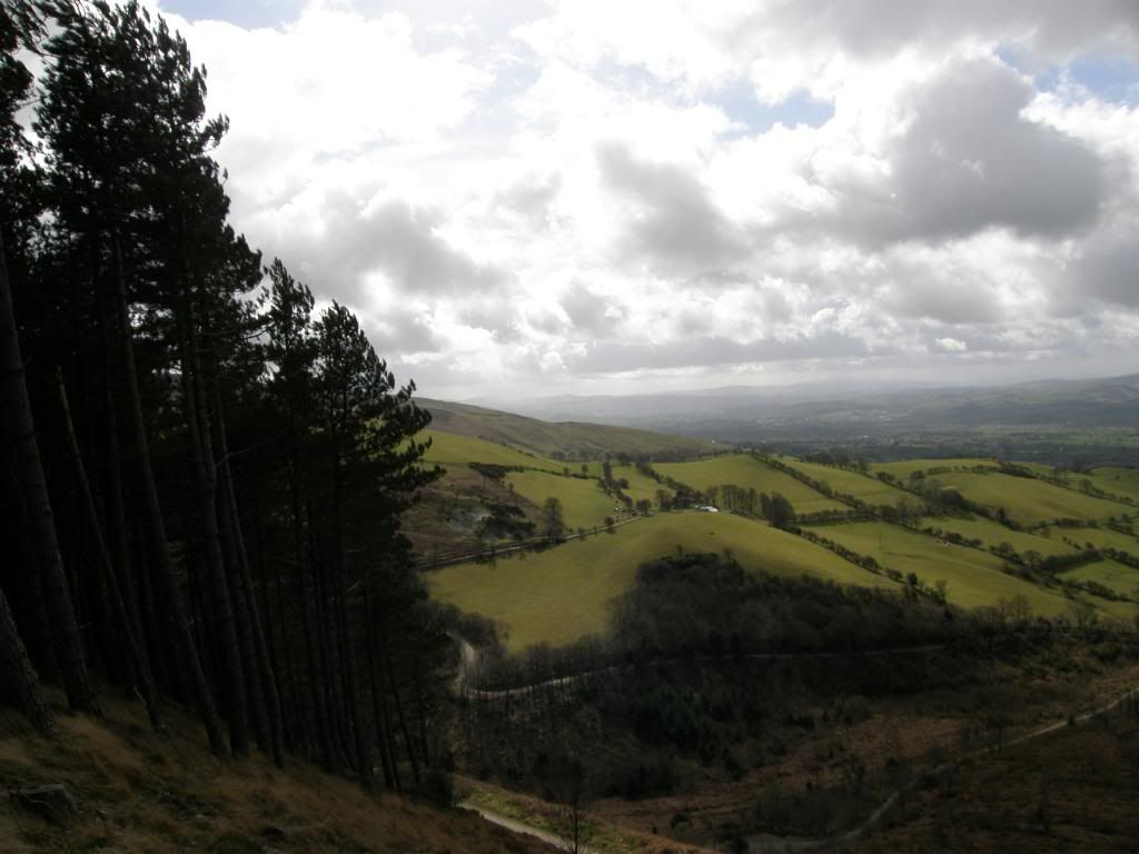
The path passes alongside some wooded areas with mature Scots Pine framing wonderful views out to the west over the fertile Vale of Clywd. Then it was up onto the fort and stop for a spot of lunch out of the wind, and what better protection than to shelter beneath the ramparts formed by an outcrop of limestone. It even provided handy seats with a great view over the Cheshire plains. It’s funny how looking at a landscape from a different perspective can play tricks with your mind. I don’t often venture into the flatlands but I could recognize Beeston Castle and the Peckforton Hills in a flash, and then from there we scanned the land out in front of us trying to identify the landmarks we could see. From Penycloddiau fort it was all downhill to Bodfari continuing along Offa’s Dyke path, and then onto farm tracks down a peaceful valley. We passed by an old farmer tending a bust up fence, with his two dogs looking like they wanted to gnaw our ankles off and barking just a little bit. It was lambing time around the hills and we saw a few duff old caravans that they use for a quick kip when the newborn lambs are on their way. There were a few crows flapping around the fields pecking away at bits of leftovers, natures bins they are – it’s no wonder they are so black and glossy looking, but they left the little lambs alone.
Photobucket
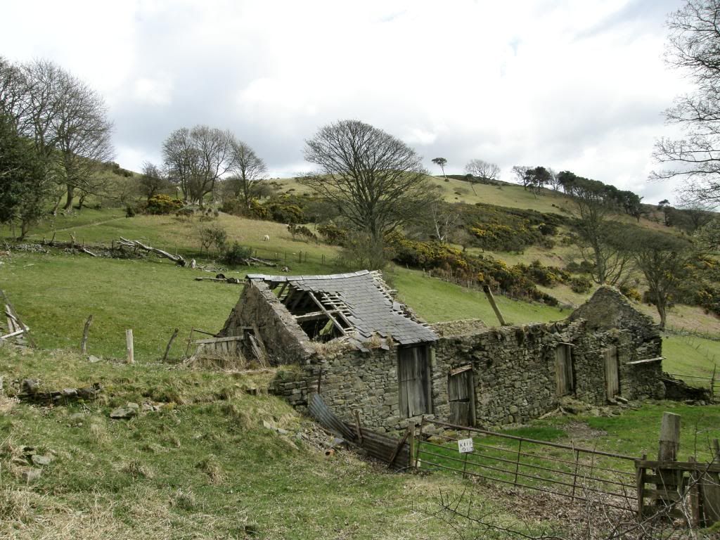
This would make a lovely house looking west over the valley
Photobucket
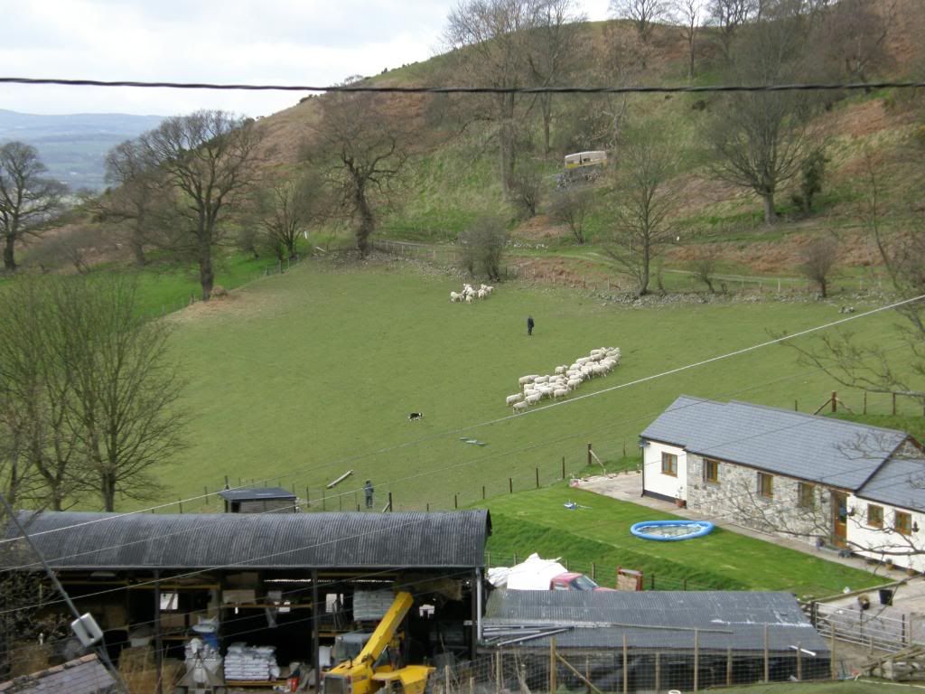
One lady and her dog

Photobucket
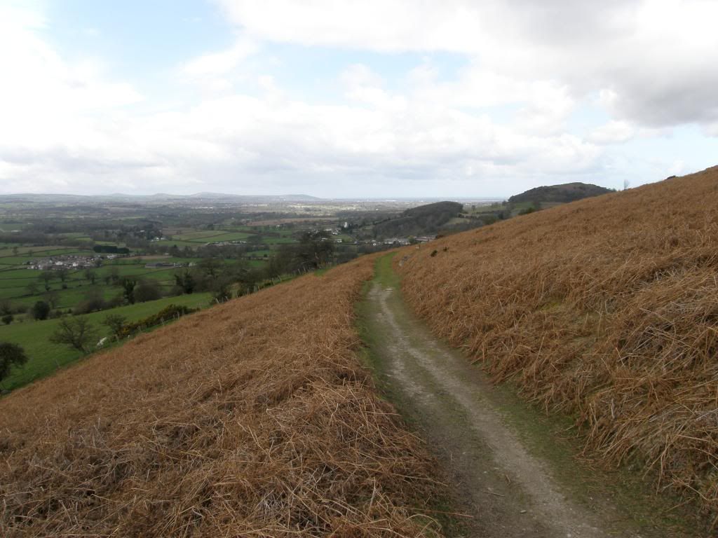
The path drops gently down to Bodfari
Photobucket
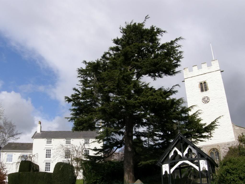
A pint would have been nice – Bodfari church shining brightly

As we contoured around the hill and dropped down towards Bodfari, The Grove Hall came into view – a fine building, but with a few different types and styles of outbuildings tacked on. They were all in different building materials as well which made it a little disjointed, but still pleasant to walk past. We watched a shepardess working a flock of sheep with her dogs and separating out several sheep – just like one man and his dog except it was one lady and her dog. We crossed over the main road and made our way back up the lane to the car, passing by the whitewashed parish church shining in the sun. It was a shame the pub next door was shut and boarded up, as we just fancied a pint. So we picked up the car and returned to the start, up the long hill – which seemed even longer now – excellent planning by Graham and a thoroughly enjoyable walk.

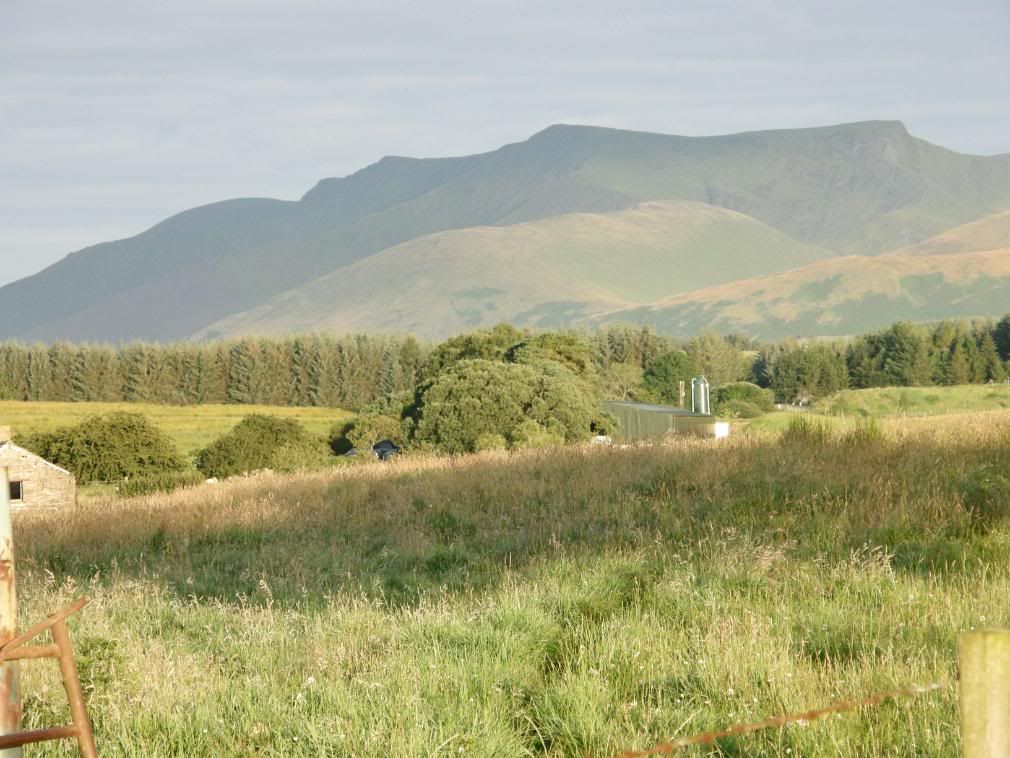
Blencathra with a Sharp Edge

Big Blencathra with a Sharp Edge to it!

Date: 8th August 2008.

Map: Landranger 90

Weather: Early sunshine, but generally overcast.

A Blencathra figure of 8 from Threlkeld. Round to the west flank of Blencathra, up to the summit, down onto Scales Fell to the col above Mousthwaite Comb. Back up the valley to Scales Tarn. Up onto Sharp Edge, then Blencathra summit before returning via Hall’s Fell Ridge: 9.3 miles on the map, 9.4 on the Pedometer!


Copyright OS-Click on map to enlarge, then hit the back button to return to blog

I have had a busy time of it lately with some big climbs on my recent walks, which left me with my legs feeling like I’d run for miles the next day. Unfortunately some of the peaks on these walks have been shrouded in low cloud and I’ve missed out on some great views, so I took advantage of a favourable forecast and set off for the Lake District in the early hours. I arrived before 7am and the sun was shining, giving a lovely soft light on the fells. Parking wasn’t a problem at this time of day and there are a couple of car parks in Threlkeld - they have honesty boxes for your change. My first impression of Blencathra was that it is almost overwhelming close up. The lower slopes are very steep and deeply dissected by the gills flowing down the southern flank of the hill, giving rise to a towering mass of a hill, very intimidating in its own way. My route today would take me in a figure of 8 to allow me to walk on Sharp Edge and have a good work out at the same time. Looking up to the steep ridges I was quite happy that I had decided to walk around to the west flank of Blencathra and walk up to the easy way to the summit from there.

Photobucket

Blencathra in the early morning light – Sharp Edge is on the right

Photobucket

The path up towards Blease Gill

I had an early scare today as I was walking up through a small wood from Threlkeld, I was feeling a bit stiff and I felt a lump – I thought ‘oh no, a hernia’. But after a bit of an investigation I found a ball of silver foil in my pocket that I had rolled up the previous week – panic over! My initial route walked up to below Blease Gill and then turned left above the woodland to contour around the base of the hill. The bracken was wet and very green, and the path passed along grassy slopes, with far views towards many of the hills of the Lake District. It was great to see them free of cloud today and I could pick out many of the more famous mountains in the distance.

Photobucket

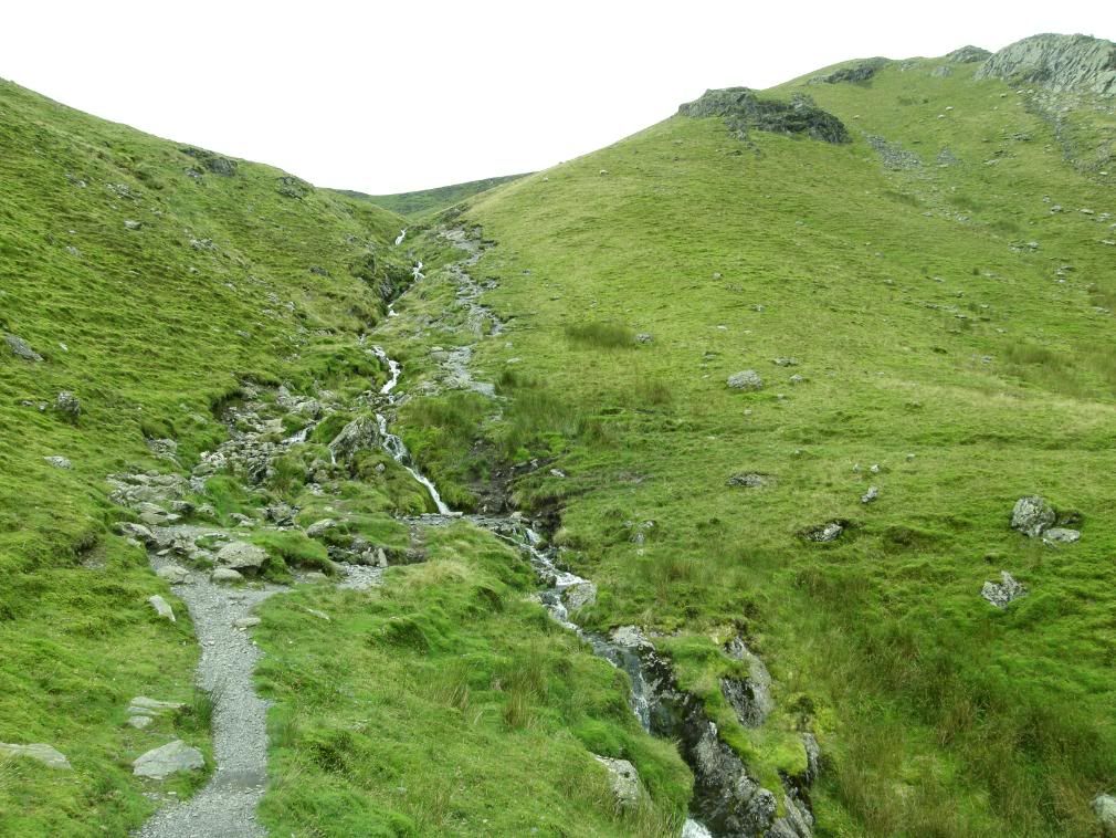
Blease Gill – I crossed here around to the left

Photobucket

Anticipation building for the views around the corner

The forecast was for rain in the early afternoon, so I planned to have finished the walk by 1pm – I used http://www.metcheck.com and it turned out be very accurate today. It was a nice steady ascent and fall along the hillside, with the path dipping down to the road before climbing up and across the slopes. This route was easy on the legs and in the clear morning light the views were fantastic. I have done a few walks in the lakes this year and recognised many of the peaks I had walked. This time last year I wouldn’t have, as I hadn’t been walking in the lakes for many years. But the landscape here is unlike anywhere else in the UK and it is very addictive, so I don’t mind coming back often. I haven’t counted up the number of Wainwright’s that I’ve climbed and I don’t intend to, as I go walking for the freedom of mind, and exercise. Maybe I’ll be tempted after I’ve bagged many more fells? As I made my way across the slopes I passed by several paths that were more direct to the summit, but I preferred my route which continued a gentle ascent around the west end of the hill.

Photobucket

Clough Head and Threlkeld Knotts across the valley

Photobucket

Fantastic clear views of Keswick and the far hills

Photobucket

Lonscale Fell across the valley

Photobucket

All of the big fells in view – with Derwent Water below Cat Bells

The views opened as I got higher up and Lonscale Fell was prominent across the valley, with its thickly wooded lower slopes. But all easy walks come to an end and as the path cut back up the hill the gradient became steeper, and this being summertime I began to slightly perspire! In fact if I put my cap in a pan with some potatoes and boiled them up, I’m sure the potatoes would be too salty. It wasn’t too warm on the west side as the sun was still low in the sky, but Skiddaw was basking in the sun across the valley. Higher up the slopes the path begins to zigzag and takes away the gradient, enabling you to walk quite quickly towards the summit. The views to the east were hidden in the early morning sun, but I could see the mist lingering in the valleys below the Pennines in the distance. I saw lots of Rock Pipits today and a few Wheatears, but they were all too quick for me to capture them on the camera. The remaining wildlife consisted of a few rabbits and the ubiquitous sheep.

Photobucket

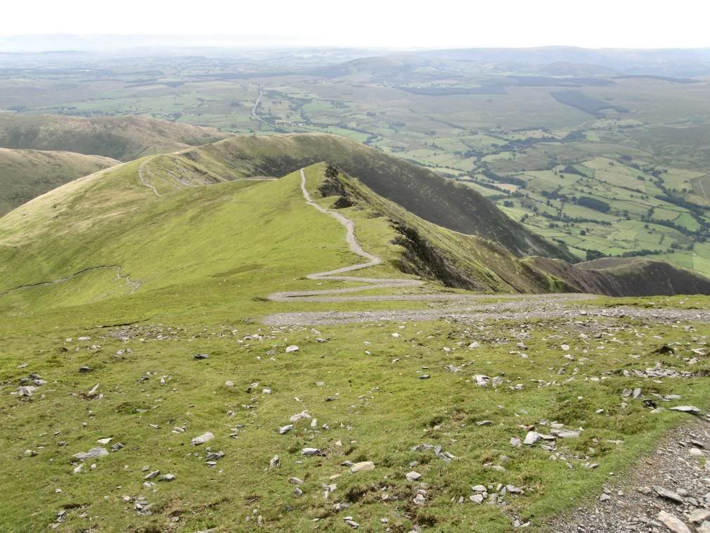
The zigzag path just below the summit

Photobucket

Looking over to Lonscale Fell and Skiddaw

Photobucket

Blencathra summit beckons

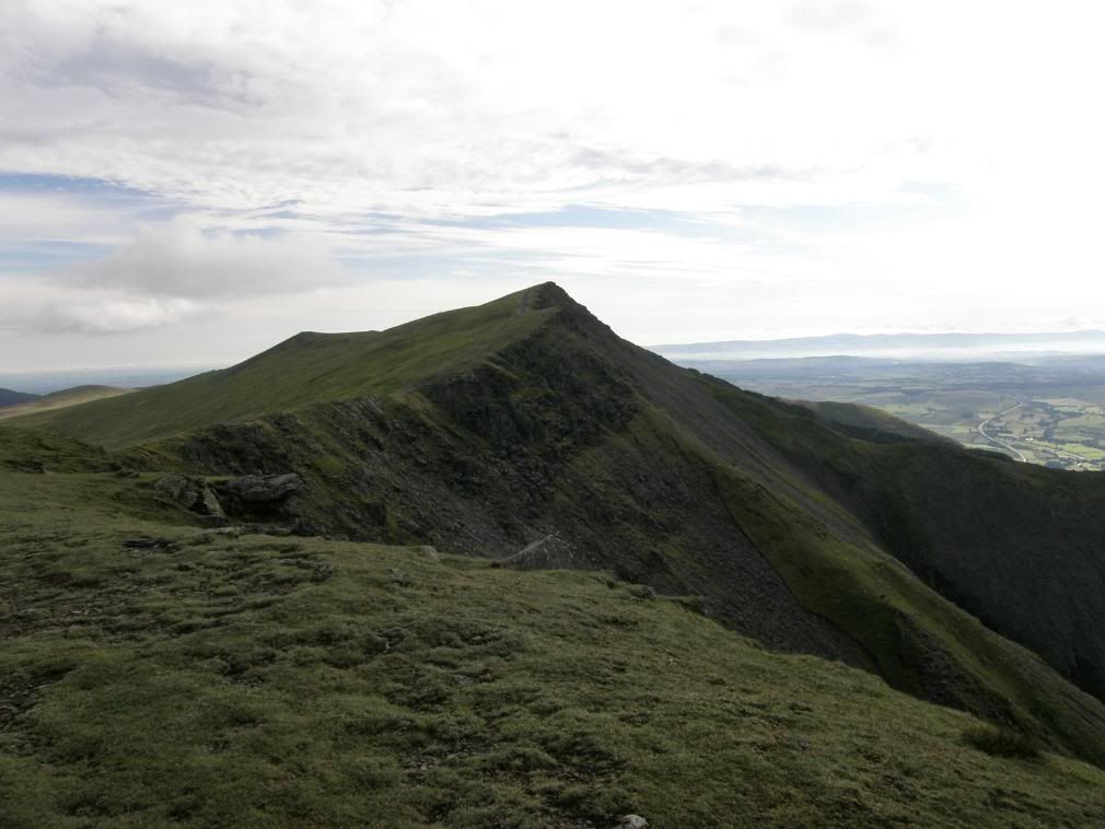
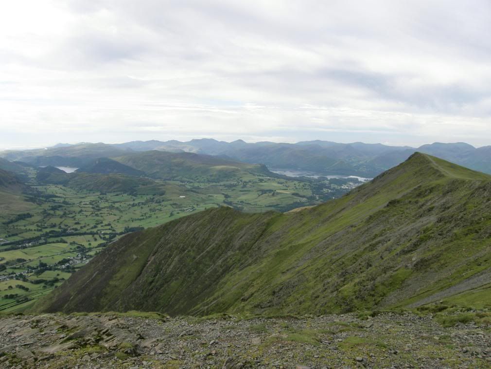
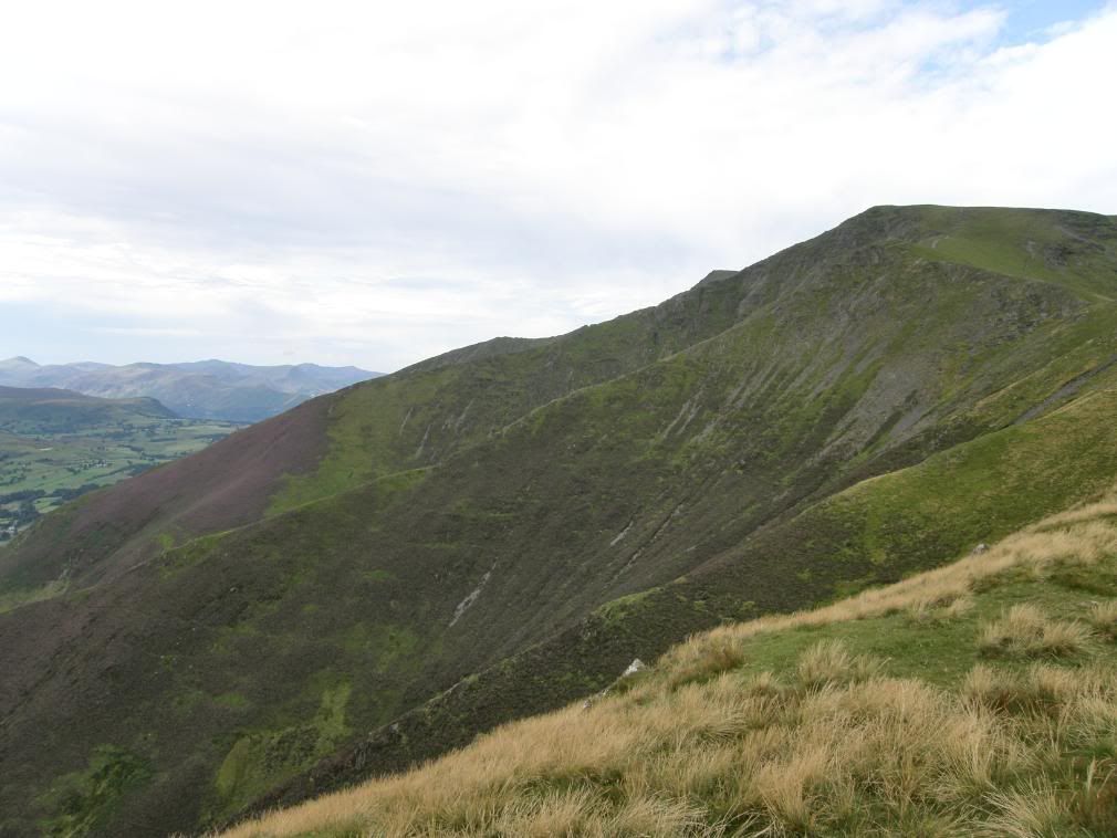
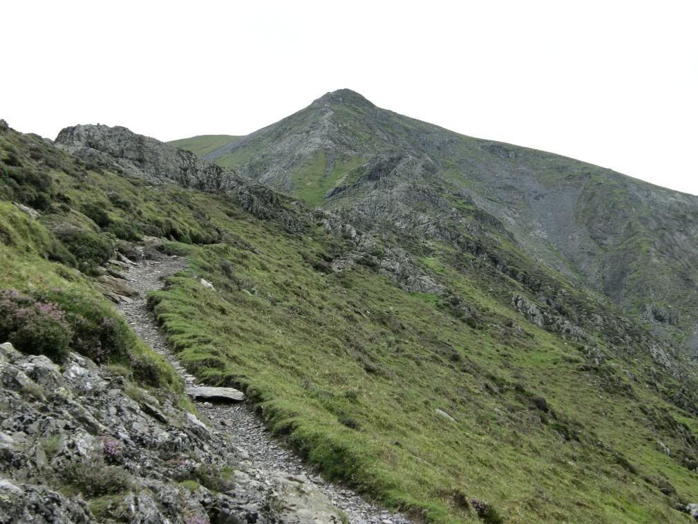
As I got to the crest of Blease Fell and up to Knowe Crags I had great views all around, and it made such a nice change to be cloud free. But I could see a few wisps rolling in over the Scafells, and it looked like the forecast was right as it began to become more overcast. The summit area towards Blencathra stretched out before me, nice and gentle and grassy with the Saddleback ahead of me. The same gentle feeling could not be applied to the deeply cut gills and ridges that confronted me when I walked up to the edge. At first sight it is very impressive and the ground drops steeply from every point you look at – from the summit, and from the ridges. I had to count carefully as all the ridges are very similar in nature, to make sure I followed the right route this week! Although there is no mistaking Hall’s Fell or Scales Fell. Hall’s Fell drops away from the summit of Blencathra, which is marked by a couple of cairns and a round circle that marks the triangulation point – not the usual stone or concrete tapering monolith. Scales Fell is easy to spot as you can see the top of Foule Crag to the east. As I wandered along the summit path I looked north to the rolling flanks of Skiddaw, Mungrisdale Common, the Uldale and Caldbeck Fells. They were much gentler to the eye, with the Solway Firth beyond and Scotland beyond that.

Photobucket

Skiddaw and beyond – the weather creeping towards me

Photobucket

Gategill Fell – steep everywhere

Photobucket

Looking back to Knowe Crags

Photobucket

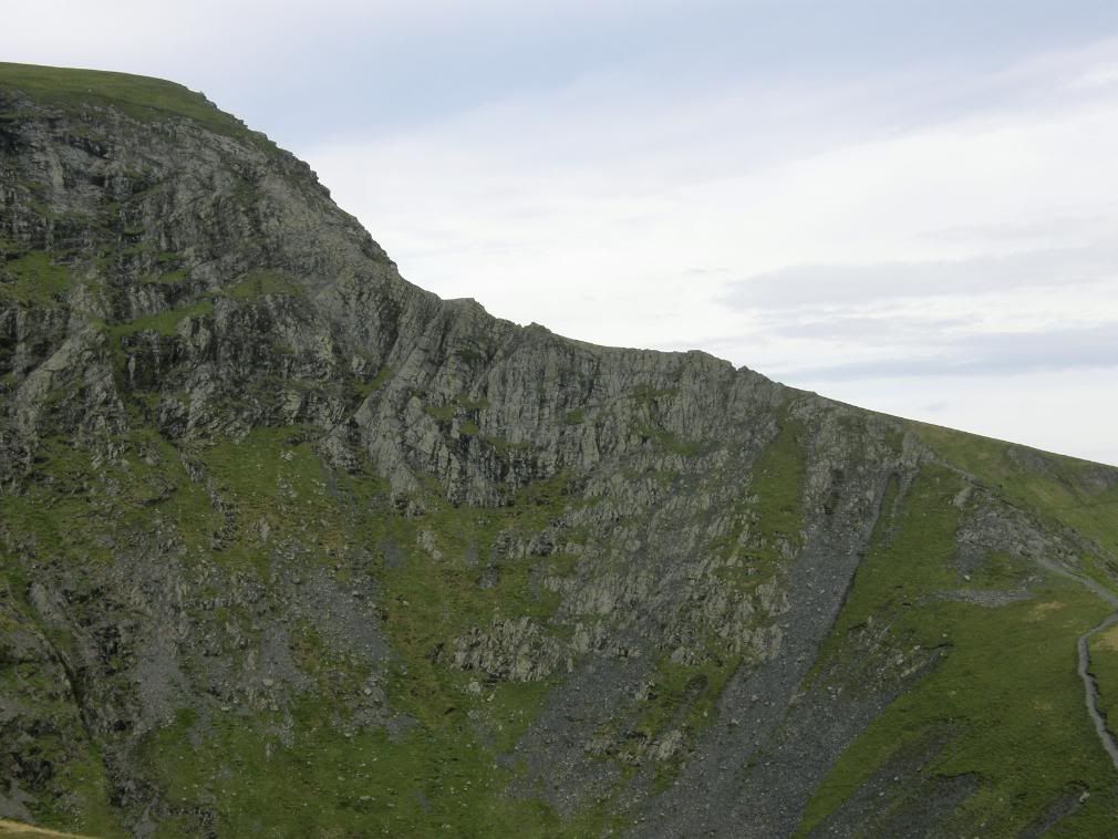
Looking north west to Foule Crag and Bannerdale

Photobucket

The zigzags down to Scales Fell

Photobucket

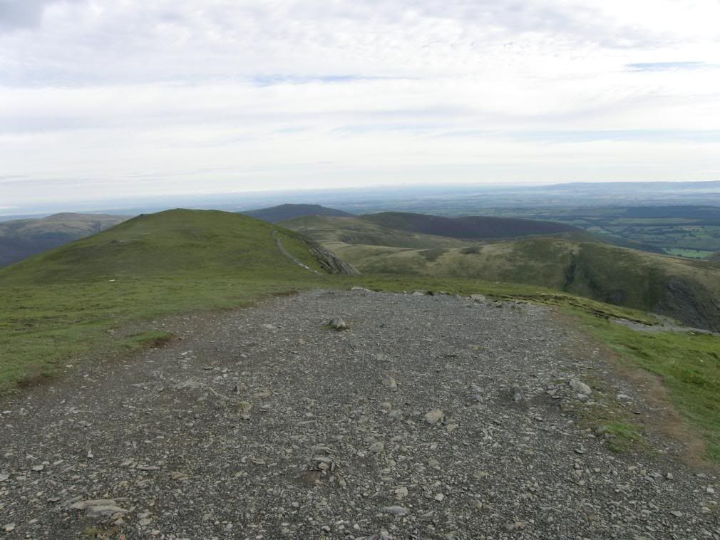
The view across to Sharp Edge from Scales Fell

Photobucket

Looking the other way – Doddick Fell and Hall’s Fell

Photobucket

…and this one shows all the fells off Blencathra.. steep they are!

Photobucket

Looking back up to Foule Crag and the top of Sharp Edge appears from Scales Fell

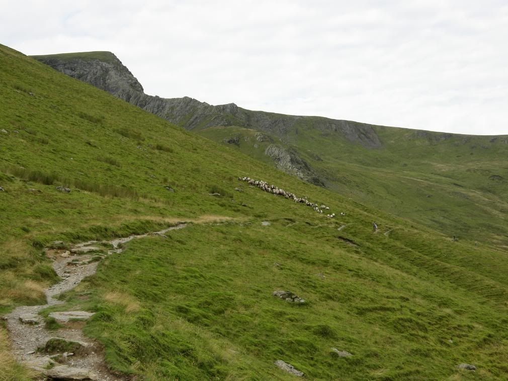
I didn’t hang around the top as I wanted to get to Sharp Edge before the rain did, so I started down Scales Fell. There is a path that cuts down to Scales Tarn if you don’t want to lose too much height, but I continued down the zigzags passing by the top of Doddick Fell on a comfortable path. The top of Scales Fell is broad and there were good views of the steep ridges to my right, and I had a preview of what to expect from Hall’s Fell Ridge later. As I descended Scales Fell the views were now to the east and the rounded hummocks of Great Mell Fell and Little Mell Fell, with Penrith in the distance still misty. The route reaches down to the col above Mousthwaite Comb and where the paths crossed I turned back up the valley and was now looking up at Bannerdale Crags. The path gently ascended the valley contours and I had the pleasure of seeing the local Shepard rounding up his flock – I was amazed that they had such easy control of their flock. When they saw me approaching on the path they just drove the sheep up the hillside a little further away from me, very considerate as I was just about to move further up the hillside myself.
Photobucket

The col above Mousthwaite Comb – turn left here

Photobucket

They didn’t look this tidy on ‘One man and his dog’

The gradient steepened as I approached Scales Tarn, as did the anticipation of encountering Sharp Edge. Once I was at Scales Tarn I had a little rest and a drink of juice with some nibbles. It was very quiet here on a Monday morning and the only people I had met were the Shepards. I pondered the ridge ahead, but I didn’t have any feelings of anxiety as it is a well used route, although I know it could be treacherous in poor weather. It does require scrambling along the crest and particular care has to be taken when passing Wainwright’s awkward spot. But there is a path down at the side of the ridge which takes away the exposure – but if you don’t go up the crest of the ridge you may as well walk up Scales Fell. Even if you take the easy path there is no avoiding the scramble up Foule Crag at the end of the ridge.

Photobucket

The outflow from Scales Tarn tumbles gently down the hillside

Photobucket

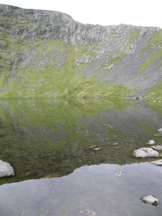
Sharp Edge reflected in Scales Tarn

Photobucket

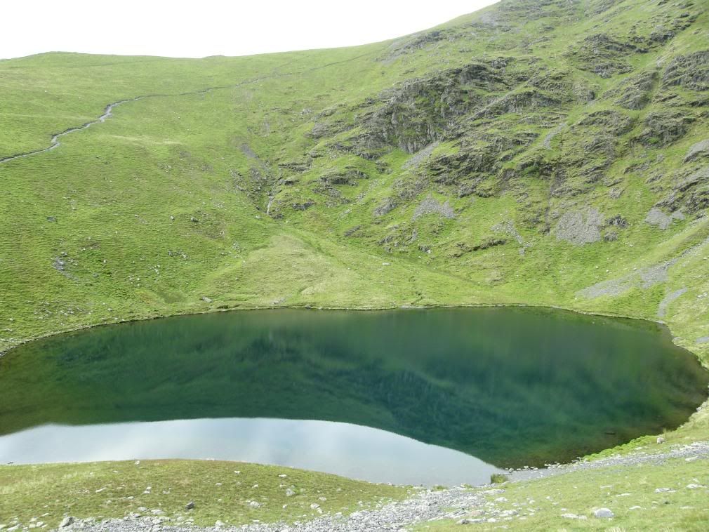
Scales Tarn looking a very strange shade of ?

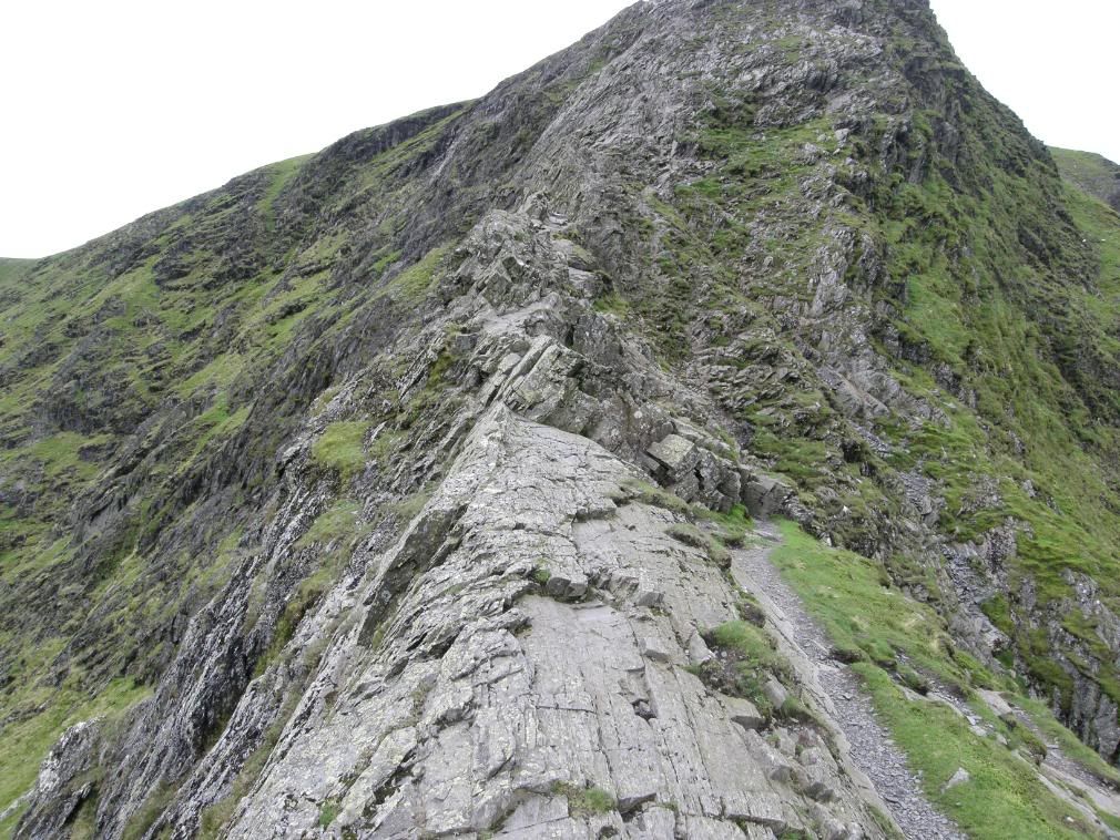
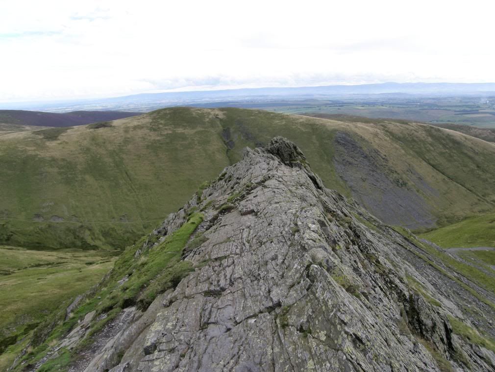
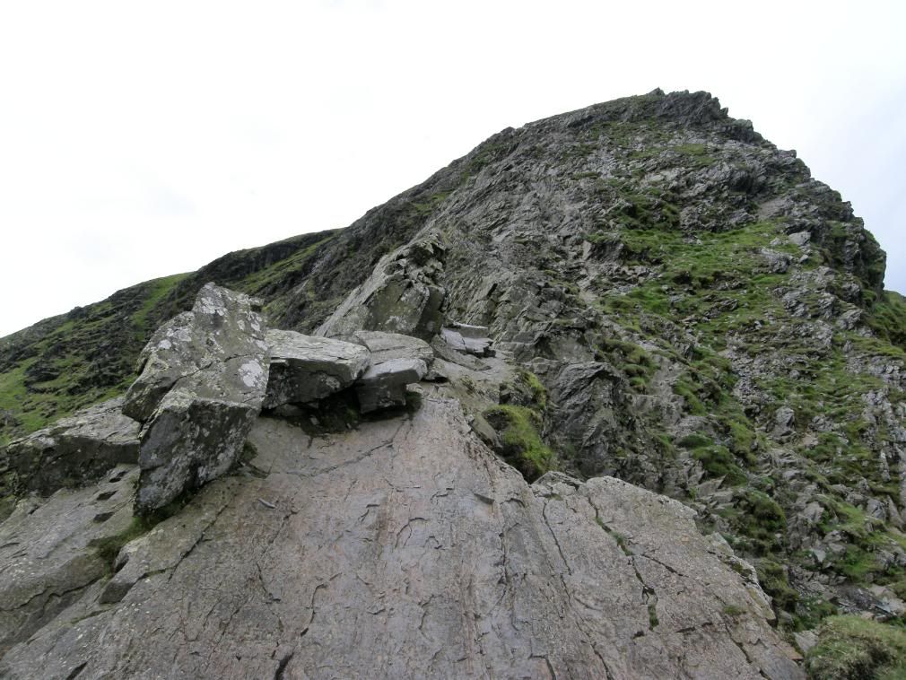
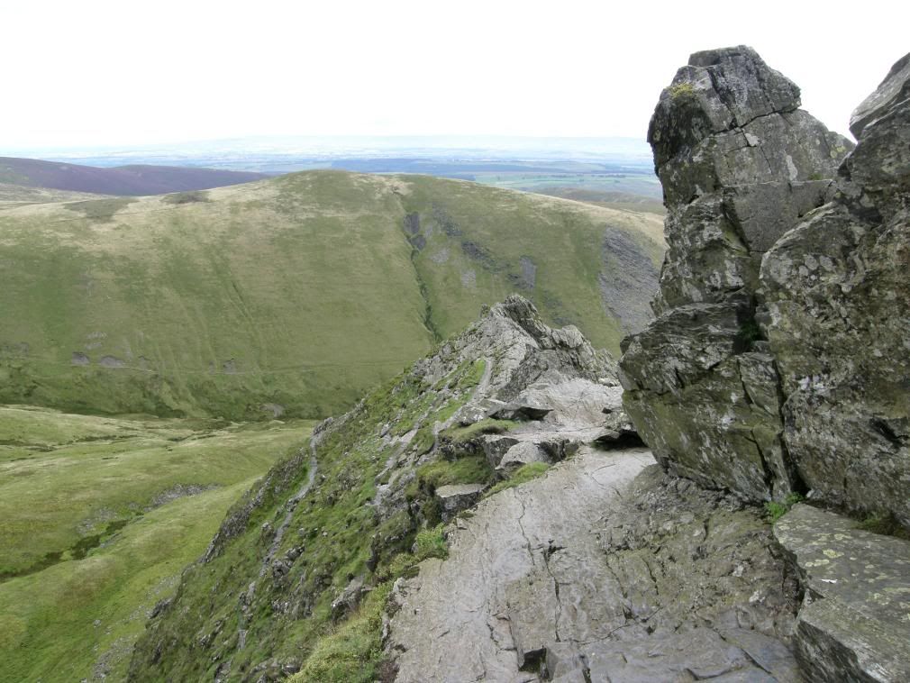
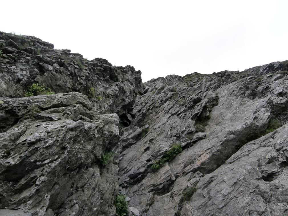
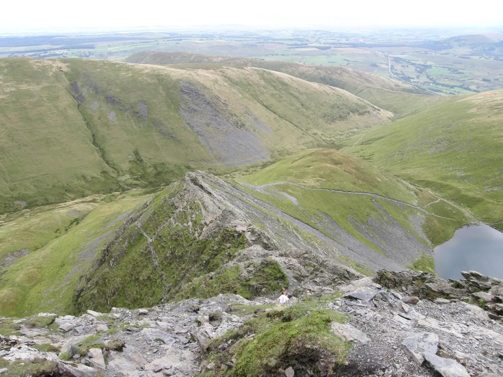
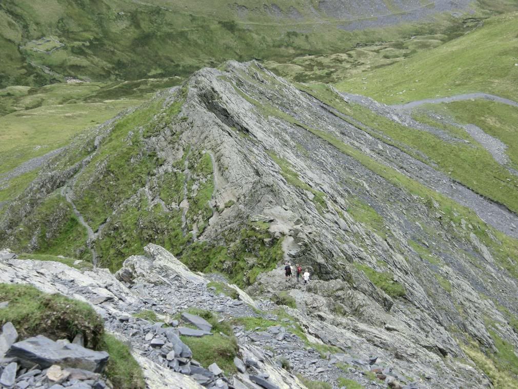
The path up from Scales Tarn is loose scree but is stable enough and a little steep and this brings you up to the ridge proper. Looking back down to Scales Tarn the water was a weird colour, almost aquamarine, which suggests that it is quite shallow and probably has a fair amount of green algae in it – not for drinking from. I took a little breather and strode onto the ridge rocks which dip away to the left at about 45deg. It was easy to follow in the footsteps of thousands before me and the route can be seen and felt by the many polished footfalls and handholds. I took my time to enjoy the exposure up here and also to look back periodically, as the view of where you have come from is quite surprising sometimes in terms of aspect and airiness! Personally I am not aware of the drops when I am walking up an exposed ridge as I’m too busy concentrating on where my next steps are going to be - I suppose that’s a good thing really. As with all high ridge traverses if you don’t have a head for heights then don’t even consider coming up here – one look from the main road should tell you all you want to know. A little further up the ridge is a wider flatter part that you can easily walk along, but most of the ridge itself requires at least some assistance from your hands! The ‘awkward place’ was fast approaching and from some distance I could see how polished the area was, and in particular the ‘seat’ that is at the end of the ‘awkward place’. I think most people would take a breath here and sit down to admire the views, as well as get closer to the ground for a safer route to the end of the ridge. In wet weather I would exercise extreme care when passing here as the rock slopes away to the valley. But there are good handholds to cling to, and you can always use your bum as a brake! If there was a top trump card of difficulty for Sharp Edge - On a scale of 1 to 10 (1 being blindfolded and twirled around for a minute, and 10 being a change of clothes required) I’d have to rate Sharp Edge as a 6. Now I think about it I’ll have to rate all of the ridges I’ve climbed\walked to see which is the toughest and scariest.

Photobucket

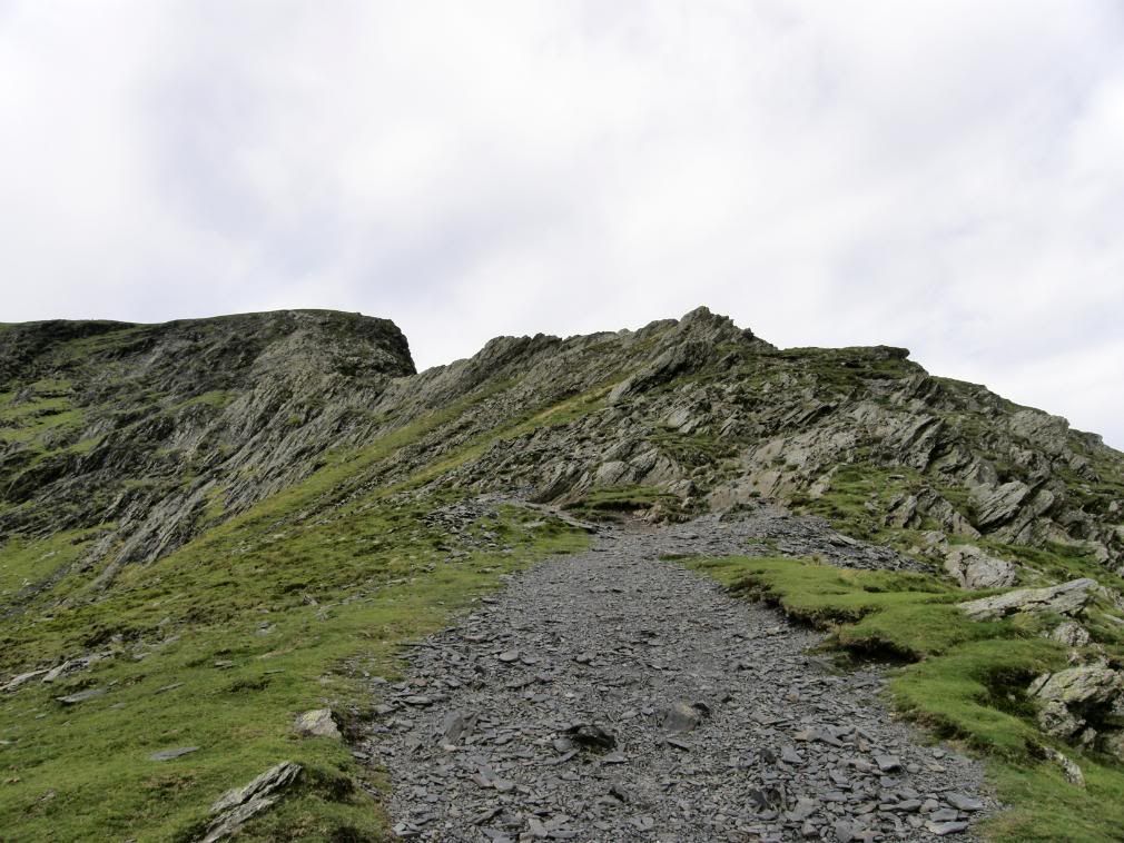
Approaching the ridge

Photobucket

Onto the rock ledge a little way along

Photobucket

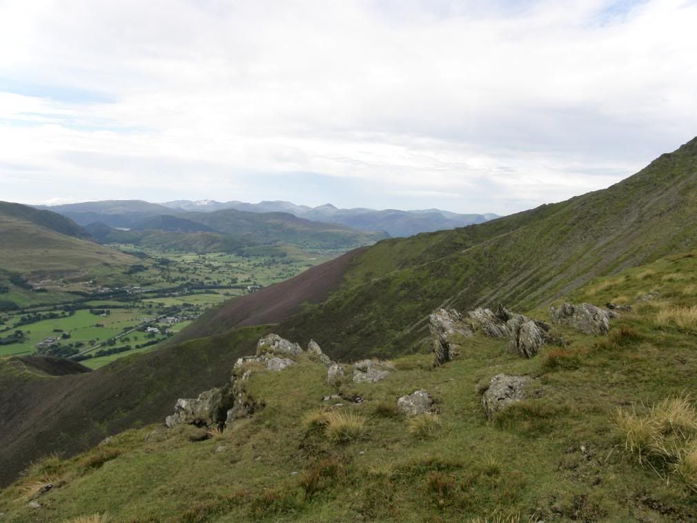
..and the view back over Bannerdale

Photobucket

Exciting times ahead…getting more polished in my approach

Photobucket

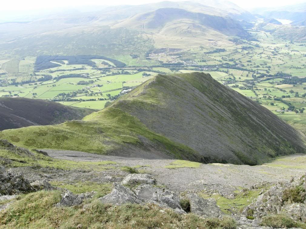
Wainwright’s ‘awkward place’ – note the slope away to the left side

Photobucket

The scramble ahead up Foule Crag – easier than it looks

Photobucket

Looking back down on Sharp Edge

Photobucket

The fast family about to zoom safely across the ridge

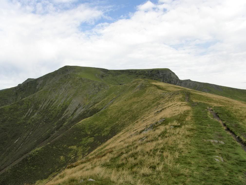
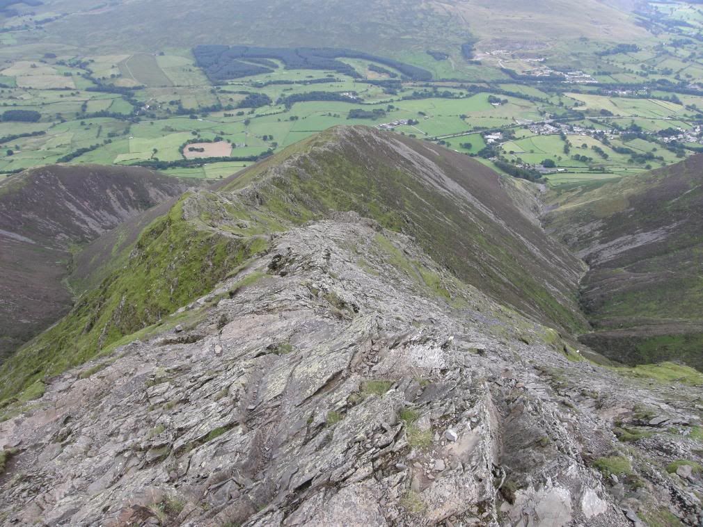
All too soon the ridge finishes and I now had the scramble up Foule Crag, which follows a shallow gully up, before emerging onto easier ground towards the crest of the hill. Once I was back up on the top I turned and appreciated the route I had taken up today. I’m sure it would be a completely different proposition in inclement weather and in winter conditions. I didn’t see the white cross made up of quartzite that is on view from the summit, but then again I forgot to look for it – nothing new there then! But I had other things to keep hold of my attention, one of them being the fast approaching rain clouds. Once I had walked back up to the summit of Blencathra, all I had left to do was the descent of Hall’s Fell Ridge. Another bit of fun to end the day – I tried to stick to the crest of the ridge on the way down, which was easier said than done. I knew it was Hall’s ridge because it descends directly from the summit.

Photobucket

The view down Hall’s Fell Ridge – steep either side

Photobucket

Blencathra towers over the start of the ridge

Photobucket

Knowe Crags beyond a heather clad hillside

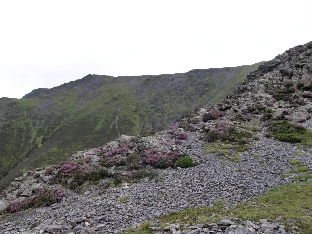
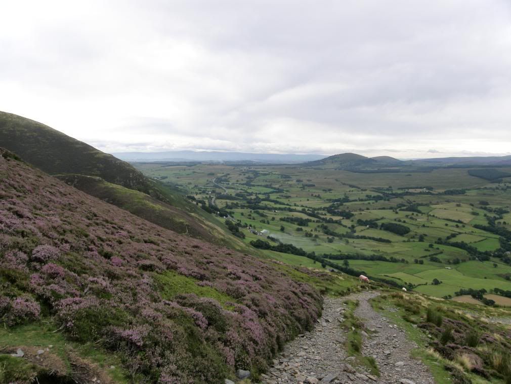
There are paths worn on either side of the ridge, or one side on the steeper sections. As it was dry and I had good grip with my boots, I hopped, skipped and generally lunged down the hillside, trying not to be too reckless. I had to check myself once or twice as my momentum built, as coming to an abrupt halt was none to simple in places. There were one or two scrambles to overcome, but in general it was far less exposed than many ridges I have been on. The slopes down to the gills on each side were tremendously steep in places and covered with a mixture of loose scree, rock and heather. The purple hued hillside looked marvellous against the dark green and grey backdrop, and it doesn’t surprise me that this route was one of Wainwright’s favourites to the top – I quite enjoyed it on the way down!

Photobucket

The route winds down the steep buttress – Great Mell & Little Mell Fell in view

Photobucket

Nearly down to the base of the hill – the views gradually disappearing

Photobucket

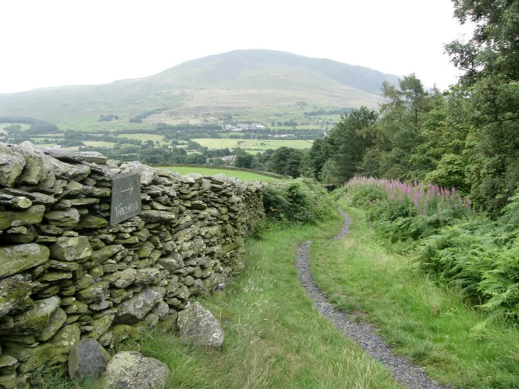
The path back to Threlkeld – I know because it says so.

At the end of the ridge the path winds down the steep buttress towards Gategill and crosses over the stream above a weir. Raindrops were starting to fall on me, but not enough to get me too wet, so I didn’t bother with waterproofs. I had passed by a few people on the way down that were making their way up, and I felt a little sorry for them that the far fells would now be obscured by cloud, and they would be wet as well – oh to be born lucky! Looking back up the valley I could see some old mine buildings, but was short of time and didn’t go and investigate. I had a choice of ways back to Threlkeld and chose to contour around the base of the hill to Blease Gill and then back down the same path I had started on to end up back at the car park. I eased my boots off and put my pack away at 1pm – it took me 6 hours today to walk up Blencathra twice – but at least I meant to go that way this week and I had a lot of ascent today. Once I was in the car the rain started to hammer down – the weather forecasters were spot on, and for once I was grateful to have taken notice of it – they are brilliant when they get it right!

About Me

My photo
Enjoying life. Work in Norway, walk anywhere.

Followers