A jaunt up Jubilee Tower
27th March 2009.
Map: Landranger 116
Weather: Overcast, with a strong wind from the west, but thankfully dry.
From the car park at Bwlch Penbarra follow along the Offa’s Dyke trail to Bodfari: a 9 1/2 mile stroll as measured on memory map.

Copyright OS-Click on map to enlarge, then hit the back button to return to blog
Today’s walk was suggested by Graham, and it was nice to revisit a portion of Offa’s Dyke that I had walked many years ago. The route took in the hills of the Clwydian range, and for those walking north on the trail it is a welcome relief to know that your journey is almost complete as the sea comes into view. This was a linear walk so we drove down together and left one car in Bodfari village. The forecast was ok for today – showery, but ok and we actually missed the weather. After parking Graham’s car we drove down in the batmobile to the start of the walk at the car park next to Foel Fenlii. As we drove up the valley the road became steeper and we were both glad that we wouldn’t have to walk up that sort of incline today – good planning. This was the first linear walk that I had had for a while and it made a nice change from the usual loop.
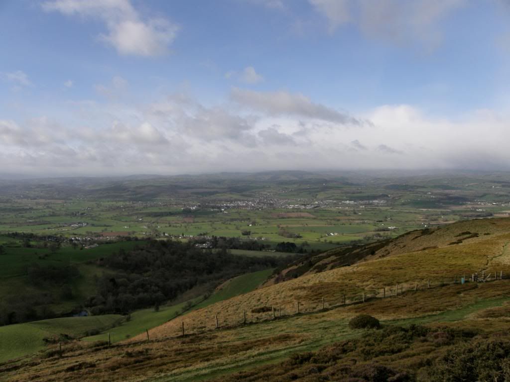
Good views down to Ruthin and the Vale of Clywd
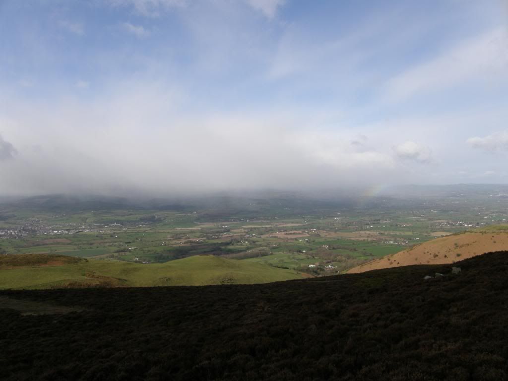
And here comes the rain that passed us by
It was very windy at the Bwlch Penbarra as we parked and paid the £2 fee for the day. This car park must be busy at the weekends as it is the nearest spot for a walk up to the Jubilee Tower and close to the town of Ruthin down in the valley below. In fact I’ve stayed in Ruthin a couple of times at The Manorhaus Hotel – a nice place with good rooms, good food, and good company. They have many art works adorning the walls and it is always very relaxing there. We had to wrap up warm today to keep the considerable wind-chill out, and from the car park we had panoramic views of the Vale of Clwyd and Snowdonia beyond, except that today Snowdonia was cloud covered, so we made a good choice. The initial route was a gentle incline up to a motorway of a path that was busy with dog walkers as we made our way up to the Jubilee tower on top of Moel Famau – the highest hill in this range at 554m. The Jubilee tower was built to commemorate the Jubilee of George III, but all that is left are the crumbling ruins of a once fantastic structure, roughly pyramidal in shape, and some 115ft high. It must have had fantastic views of Snowdonia, Cheshire and the coastal plain to the north up the Dee estuary, and Cadair Idris to the south. We could see Beeston Castle in Cheshire sat proudly on its sandstone pinnacle, a great defensive position for a fort, and the offshore wind farms further away past Fiddlers Ferry power station which was belching out huge clouds of steam. The last time I was at Fiddlers Ferry I was drilling horizontal wells for coal bed methane, but that’s another story. The weather coming in from the other side of the valley was threatening and we could see the rain curtain approaching, but luckily for us it was funnelled by the landscape down a valley further to the south of us. All we could see was a glowing rainbow as it disappeared around the corner, and that was the only rain we saw all day – well I say all day but we were only out for a few hours.
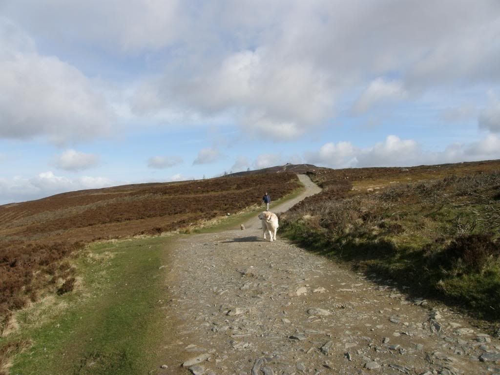
Offa’s Dyke path up to the tower
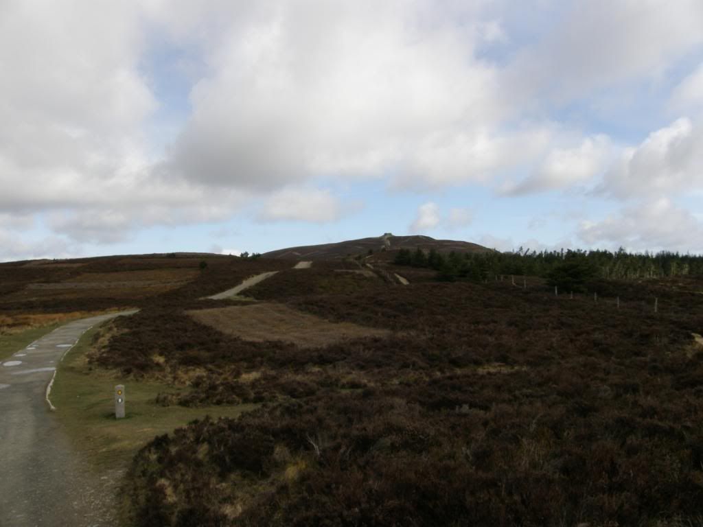
The well manicured route, with the tower remains on the top
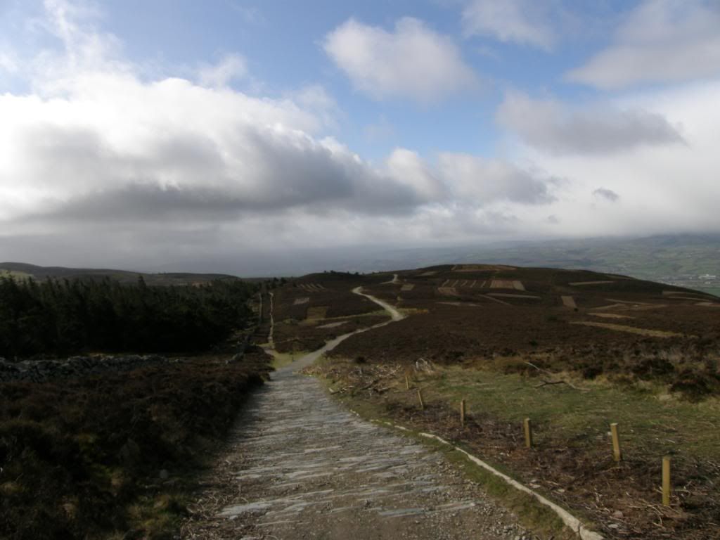
Looking back to the start
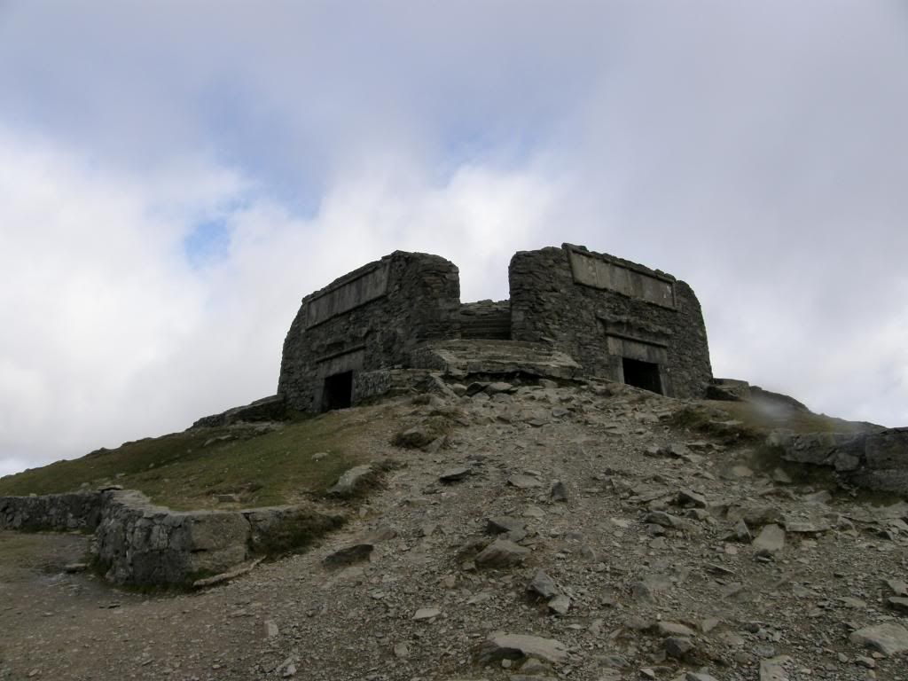
The crumbling remains of the Jubilee Tower
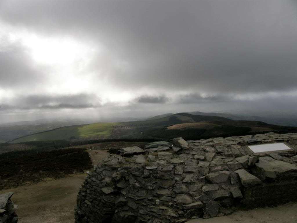
And the view to the South and the rain that missed us
Today was a series of up and downs as the valleys along the Clwydian range run in an east to west direction, cutting quite deeply between the summits. I guess this is why there are six hillforts along the hills here, all varying in size and shape, as the defensive ramparts contour around the hillside. There is an archaeological excavation going on down on Penycloddiau Hillfort as I write this up in May – I’ve a bit of a backlog of walks to post to my webmaster. It was easy walking today and only the wind posed a problem later on as it was sideways into us from the west, we just followed the path all the way back to Bodfari and the car. The views didn’t change much today – mostly to the west on our left to Snowdonia that was cloaked in low cloud, so we couldn’t pick out many peaks very well.
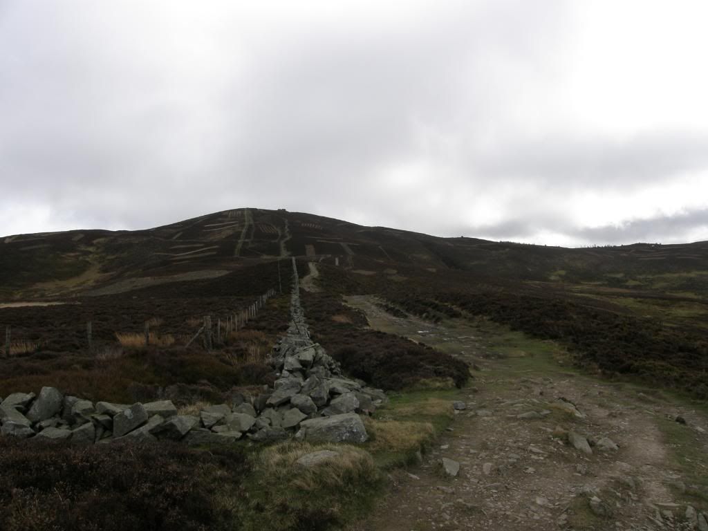
The tower receding in the distance
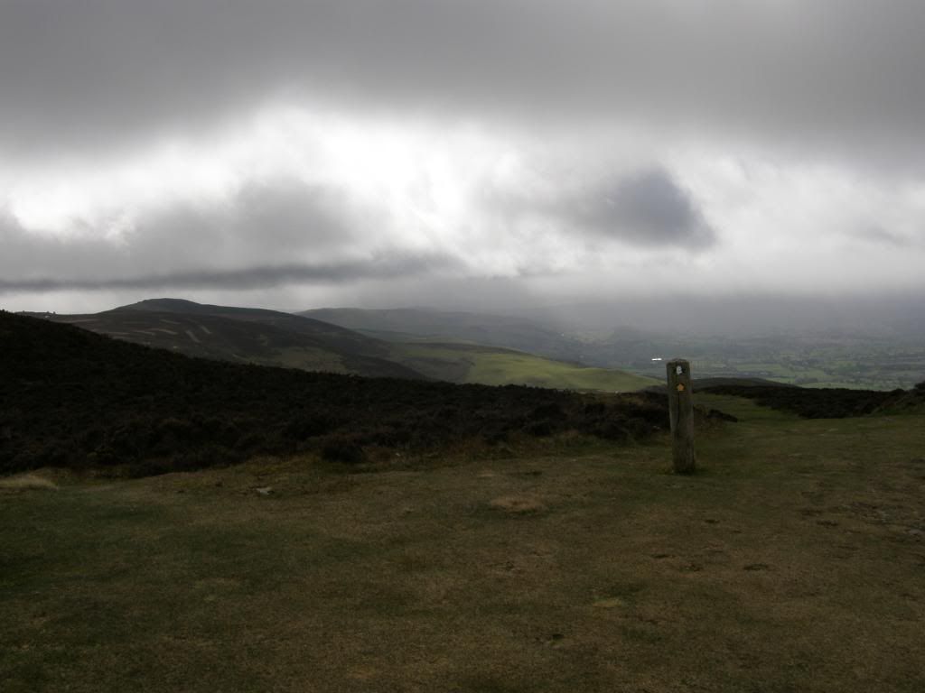
The bad weather was still to the south of us – ha
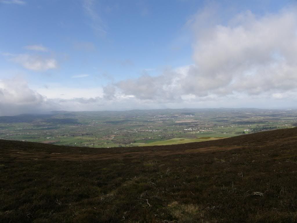
And to the west we still couldn’t see Snowdonia very well
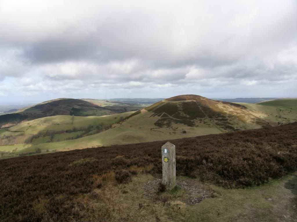
Arthur appears
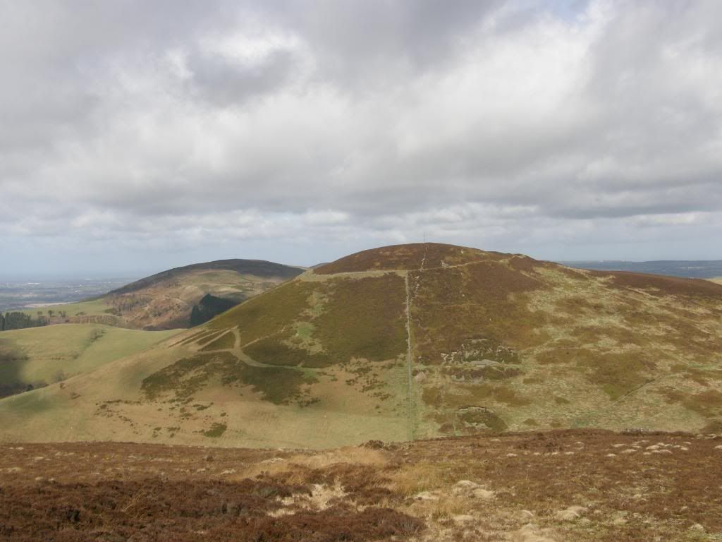
And a closer look reveals the ramparts
The biggest climb and drop was to Moel Arthur – named after Captain Mannering of Dad’s Army fame – sort of round and baldy looking. Viewed from the south it is very symmetrical, but the path skirted around the side easing the gradient somewhat, and we admired the top from a distance. We had a better idea of how big the defensive ramparts were around on the north side where the slope of the land was easier. These are some of the biggest banks and ditches of all the hillforts in the area, and there is a possible Bronze Age burial mound in the centre of the fort – a pimple on top of Arthurs head as it were.
We continued north along the path and passed by a beautifully inscribed slate marker – written in welsh to Arthur Roberts MBE, and once more dropped down into another valley before climbing back up towards Penycloddiau Hillfort.
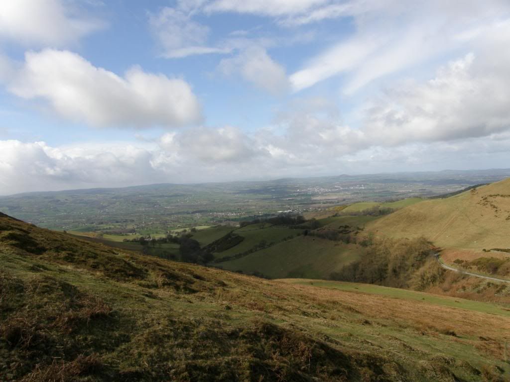
The never changing view to the west
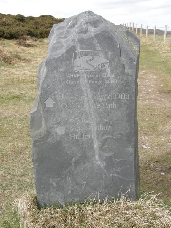
A stone marker for Offa’s Dyke path and Moel Arthur
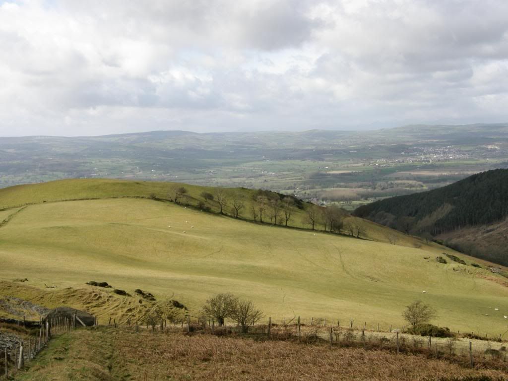
Zoomed in the bare trees make an interesting contrast with the fields
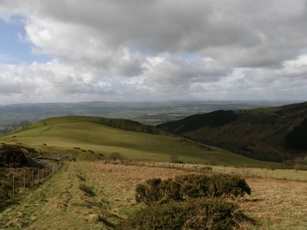
And the same shot not zoomed
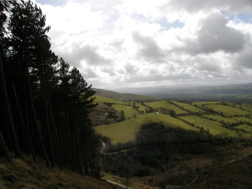
The view south from close to Penycloddiau Hillfort
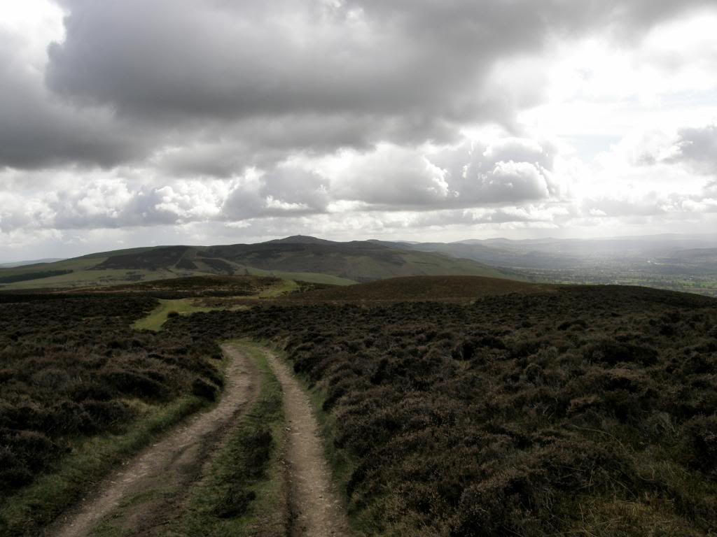
The view all the way back to the Jubilee Tower
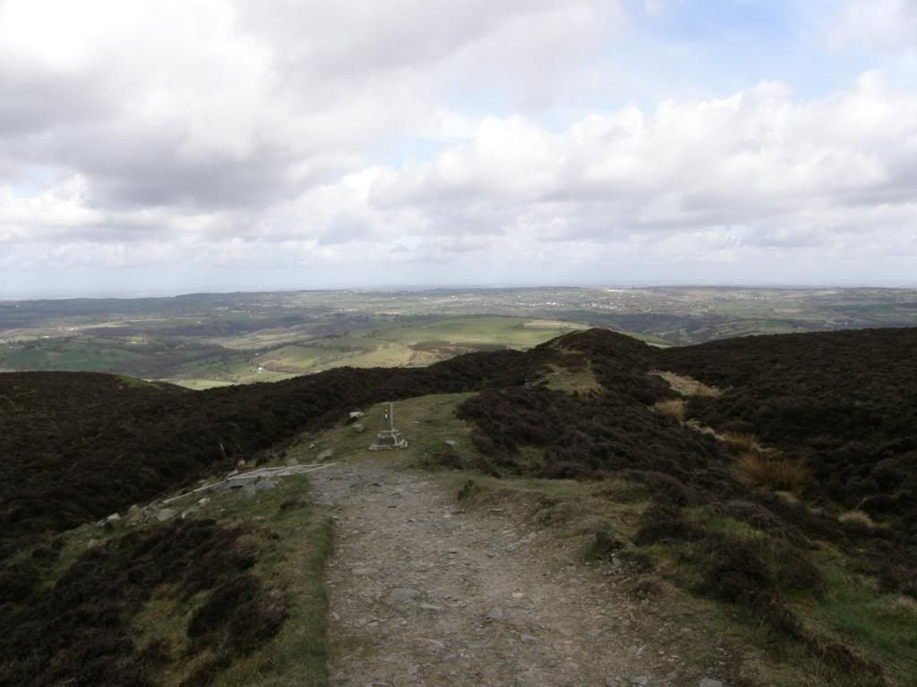
The double ramparts of Penycloddiau Hillfort
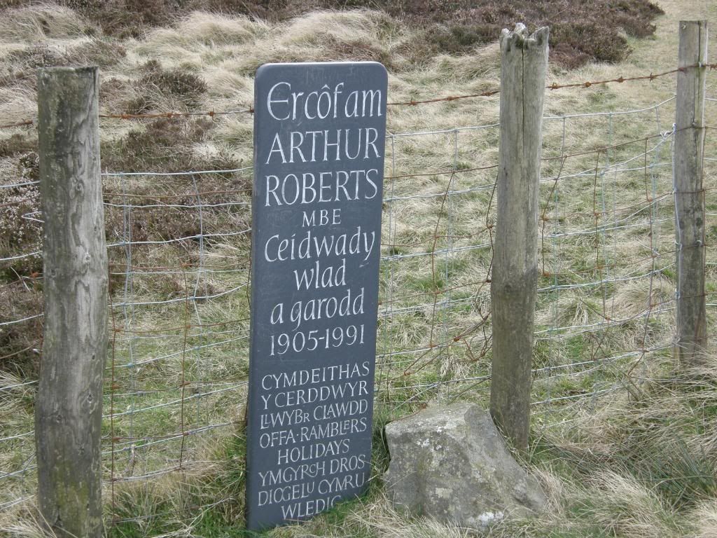
Arthur’s plaque
The path passes alongside some wooded areas with mature Scots Pine framing wonderful views out to the west over the fertile Vale of Clywd. Then it was up onto the fort and stop for a spot of lunch out of the wind, and what better protection than to shelter beneath the ramparts formed by an outcrop of limestone. It even provided handy seats with a great view over the Cheshire plains. It’s funny how looking at a landscape from a different perspective can play tricks with your mind. I don’t often venture into the flatlands but I could recognize Beeston Castle and the Peckforton Hills in a flash, and then from there we scanned the land out in front of us trying to identify the landmarks we could see. From Penycloddiau fort it was all downhill to Bodfari continuing along Offa’s Dyke path, and then onto farm tracks down a peaceful valley. We passed by an old farmer tending a bust up fence, with his two dogs looking like they wanted to gnaw our ankles off and barking just a little bit. It was lambing time around the hills and we saw a few duff old caravans that they use for a quick kip when the newborn lambs are on their way. There were a few crows flapping around the fields pecking away at bits of leftovers, natures bins they are – it’s no wonder they are so black and glossy looking, but they left the little lambs alone.
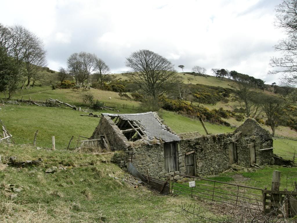
This would make a lovely house looking west over the valley
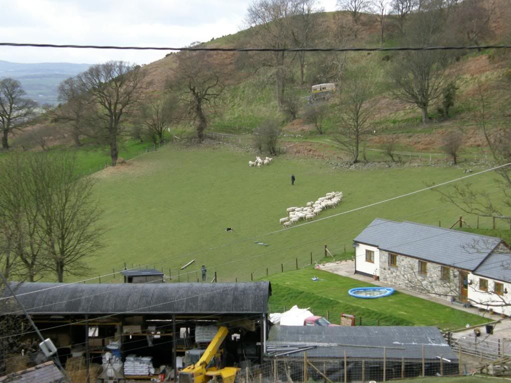
One lady and her dog
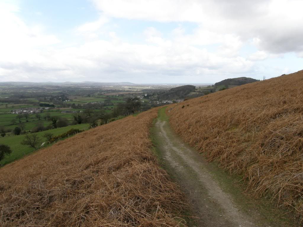
The path drops gently down to Bodfari
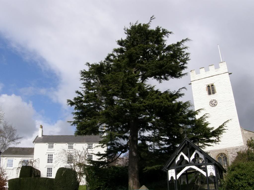
A pint would have been nice – Bodfari church shining brightly
As we contoured around the hill and dropped down towards Bodfari, The Grove Hall came into view – a fine building, but with a few different types and styles of outbuildings tacked on. They were all in different building materials as well which made it a little disjointed, but still pleasant to walk past. We watched a shepardess working a flock of sheep with her dogs and separating out several sheep – just like one man and his dog except it was one lady and her dog. We crossed over the main road and made our way back up the lane to the car, passing by the whitewashed parish church shining in the sun. It was a shame the pub next door was shut and boarded up, as we just fancied a pint. So we picked up the car and returned to the start, up the long hill – which seemed even longer now – excellent planning by Graham and a thoroughly enjoyable walk.

No comments:
Post a Comment