Crib Goch and the
19th March 2009.
Map: Landranger 115
Weather: Bright sunshine, turning hazy later on.
A circular walk from Pen-Y-Pass, up the PYG track until Crib Goch, along the ridge and up to Garnedd Ugain and along to the Snowdon
Copyright OS-Click on map to enlarge, then hit the back button to return to blog
The weather in Snowdonia isn’t forecast like this very often, and with high pressure resident over the
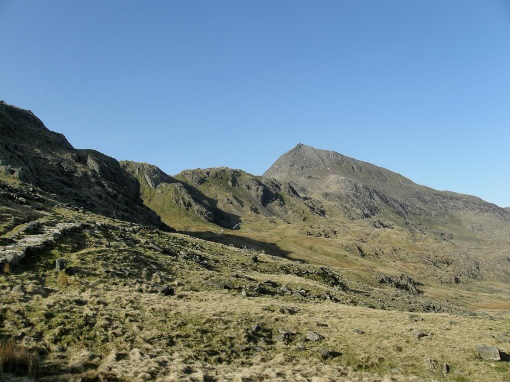
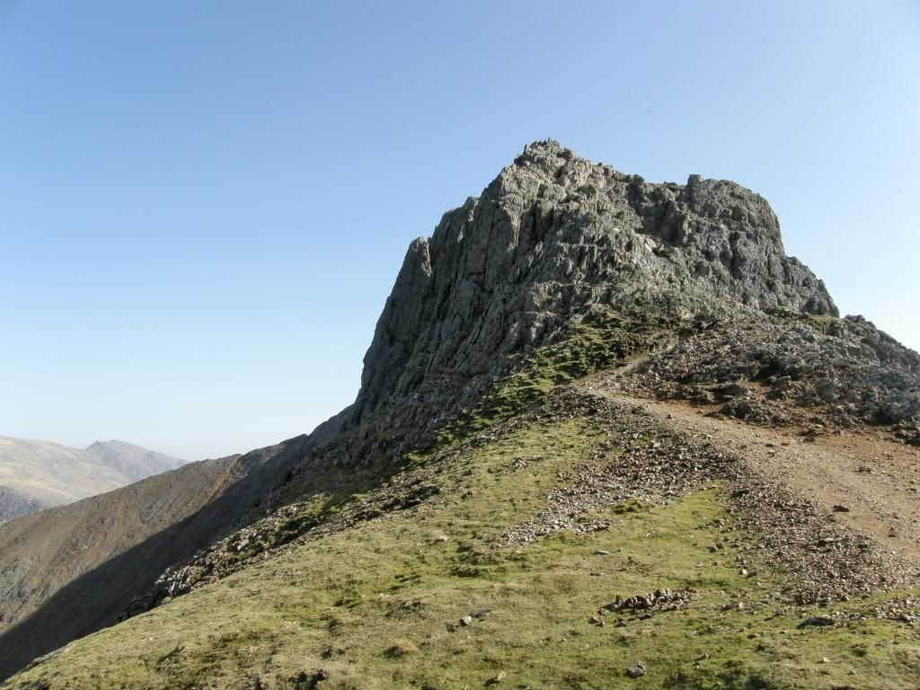
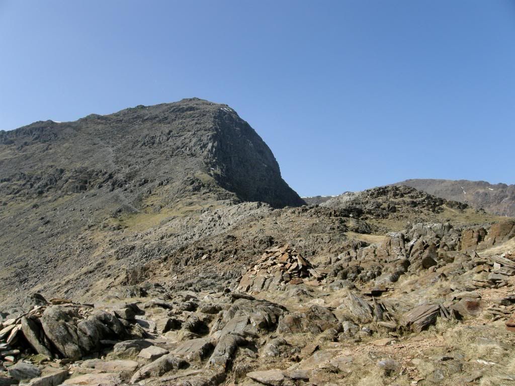
The start of the day along the PYG track, with Crib Goch looming large
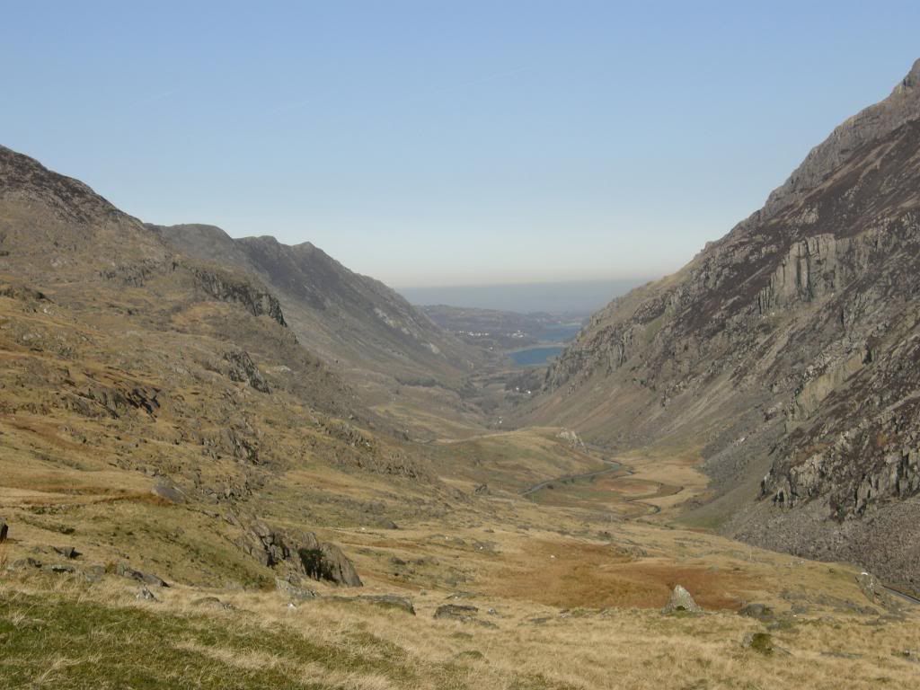
The view to the north up the Llanberis pass
Excitement to the right
Everything was laid out before us today and we could anticipate the route ahead, as well as pick out the likeliest looking ascent of the Crib Goch ridge. The first time I went up I thought it was a little steep and a bit more than scrambling in places, but it was a different story today – thankfully. We had good views up the Llanberis pass towards the North Wales coast, but it was already a little hazy and it looked grey and horrible further along – it shows what crap we breathe in and out in our urban hell – thank goodness for the British countryside and fresh air. The walk up to the junction of the PYG track with the Crib Goch path is on a very well laid route of large stones that make you want to stride along, but we took it at a steady pace as there was a lot of climb to come. Todays walk took in three of the Welsh 3000 footers – Crib Goch, Garnedd Ugain and
The view back to the start before the scramble begins – spot the buildings
This gives some idea of the gradient after the scramble up
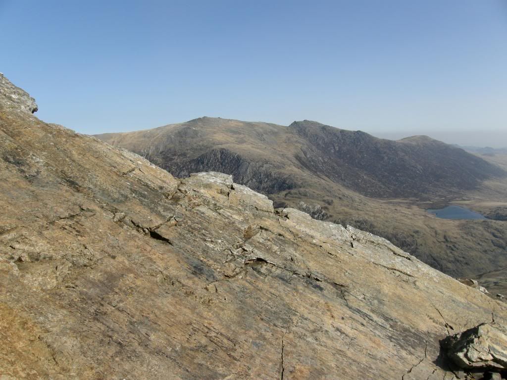
Looking across to the Glyders at the level with terraced steps up the slope
The view back down the slope from the east summit
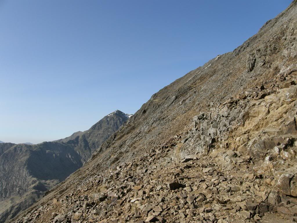
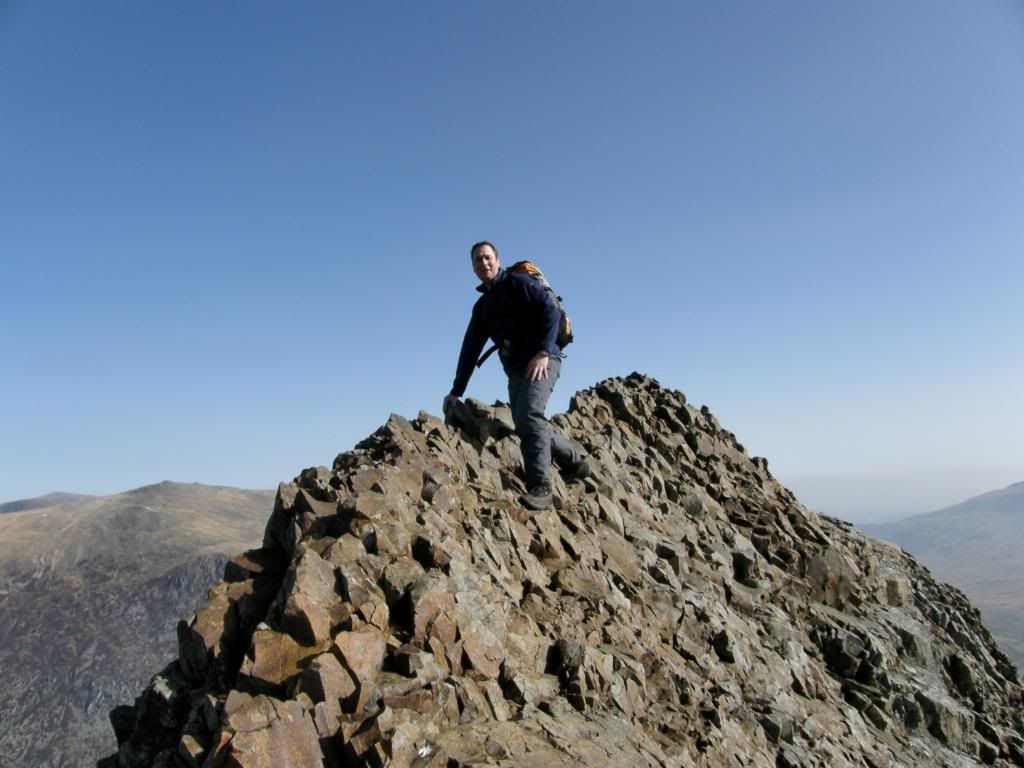
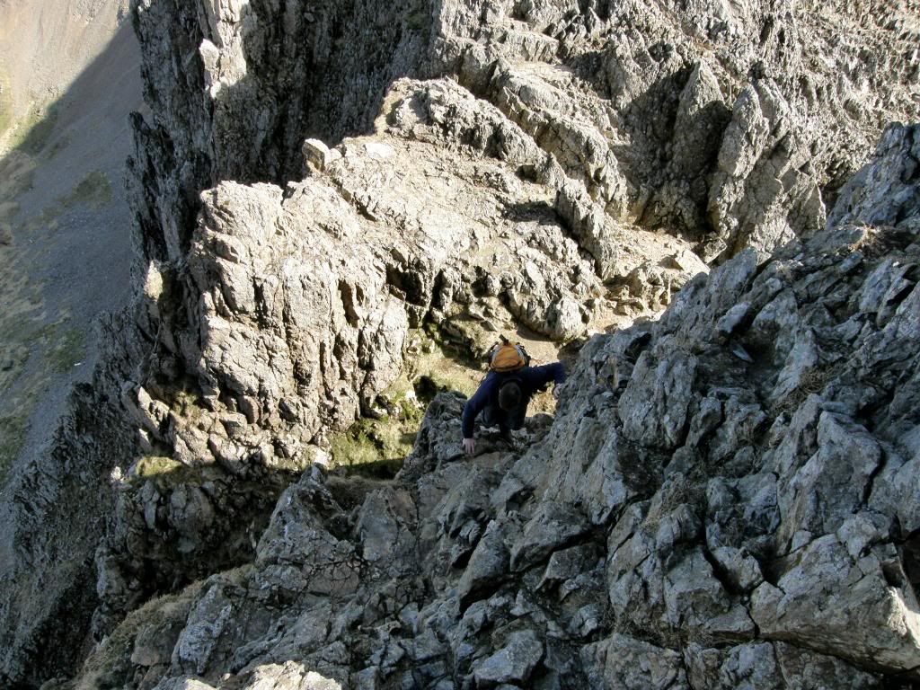
The ground gradually steepened and Graham packed his camera away before the scrambling properly commenced. He was quicker than I was, but as I was in the lead I tried not to stand on his fingers. There are plenty of good handholds on the way up and not too many spots where you have to stretch a little. As the slope is so steep you are leaning into it anyway and never feel in much danger of toppling over backwards, but you have to take care where you are going. We took breathers often and looked over to the Glyders across the valley, and marvelled at the ever receding dot of the Pen-Y-Pass car park far below us now. Further up the slope we passed by some volcanic columns of an intrusive igneous sill, and then out onto a slope that is easier to walk up in a series of small terraces – but you still have to take care and remember where you are. Looking down behind and below us was a reminder of how steep it is up here and how quickly you gain height. The breeze picked up a little as we gained the summit and there were vast views all around us – much better than I had last time, and I could really appreciate the walk to come. I could pick out many of the peaks and ranges that I had been lucky enough to walk last year and even though the sunshine was hazy we could still see for miles around.
Wow – what else could you say
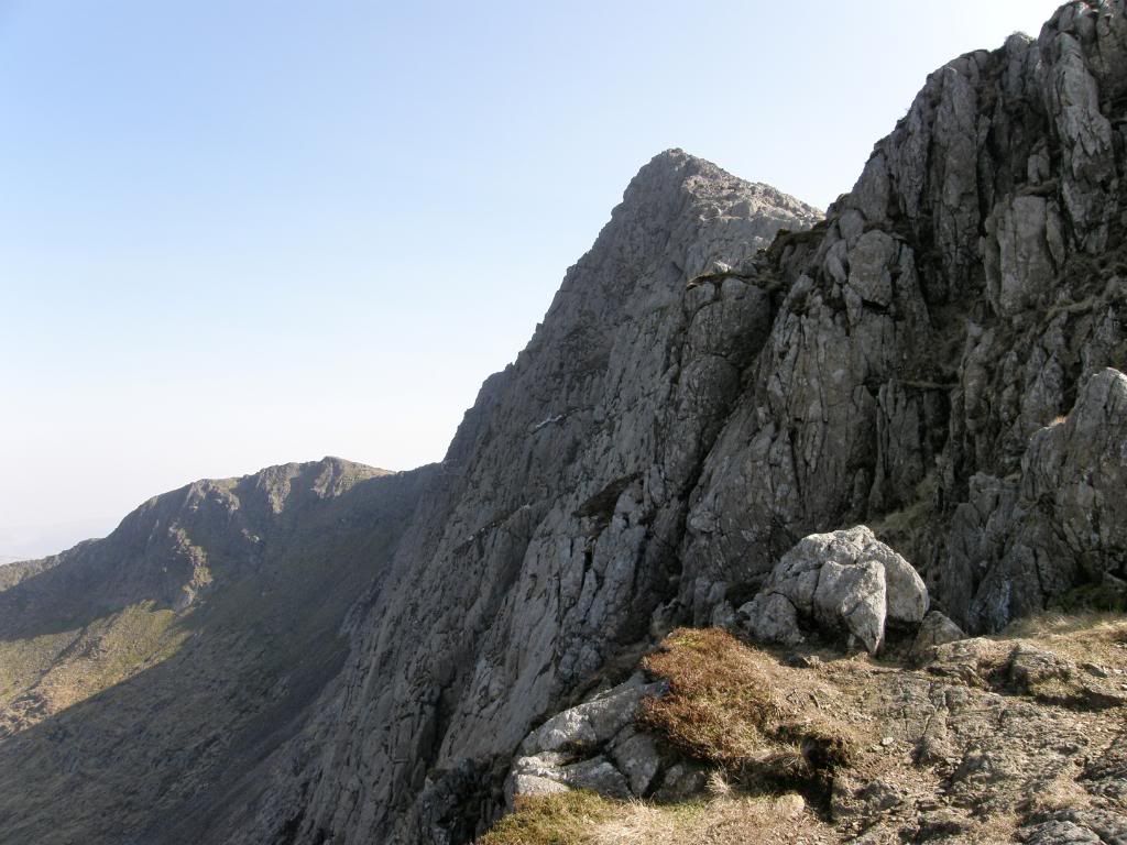
Graham looking nonchalant as he makes his way along the sharper part of Crib Goch
Cue the ‘sound of music’
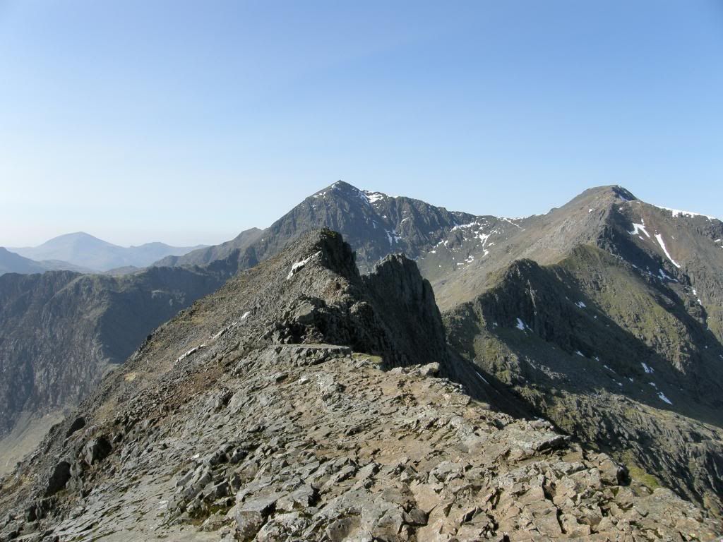
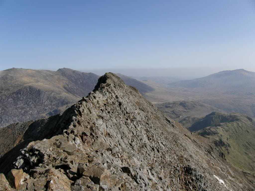
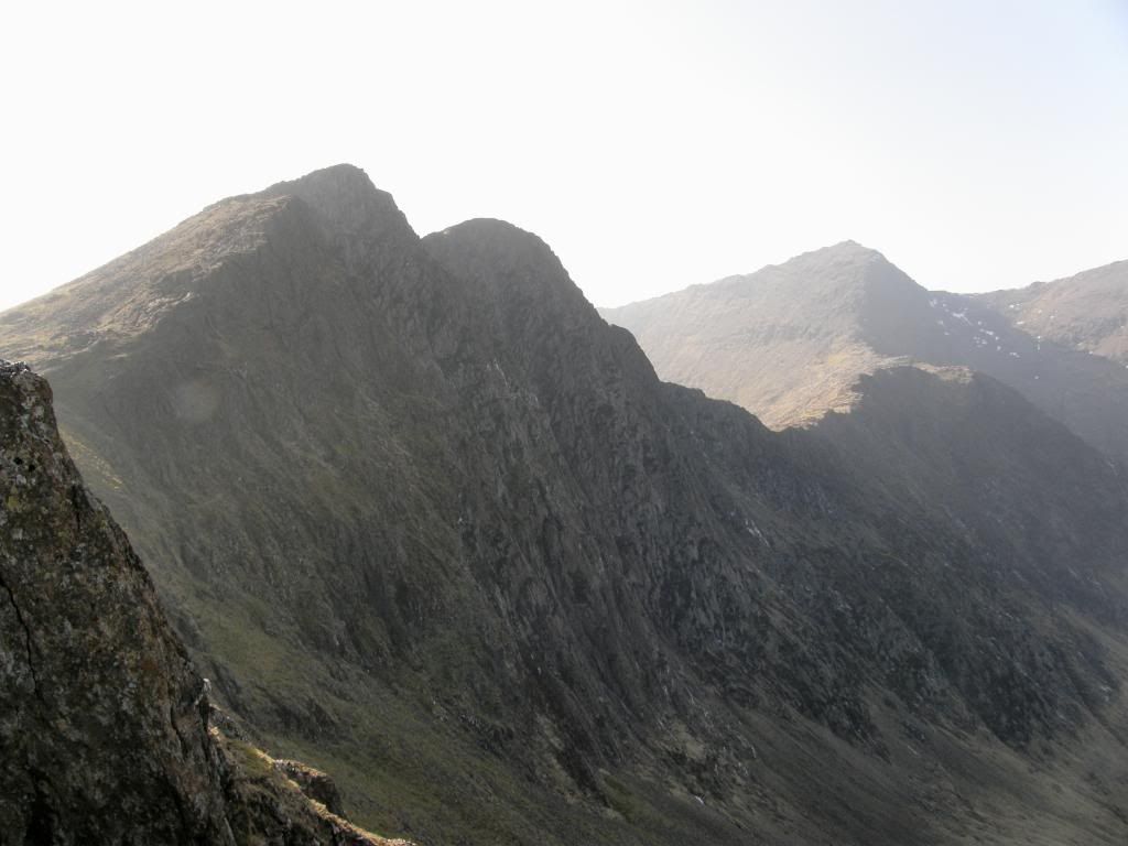
Looking back along the sharpest part of the ridge
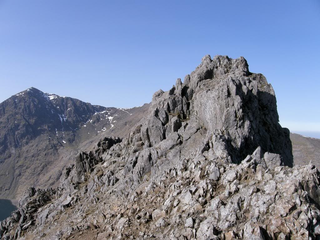
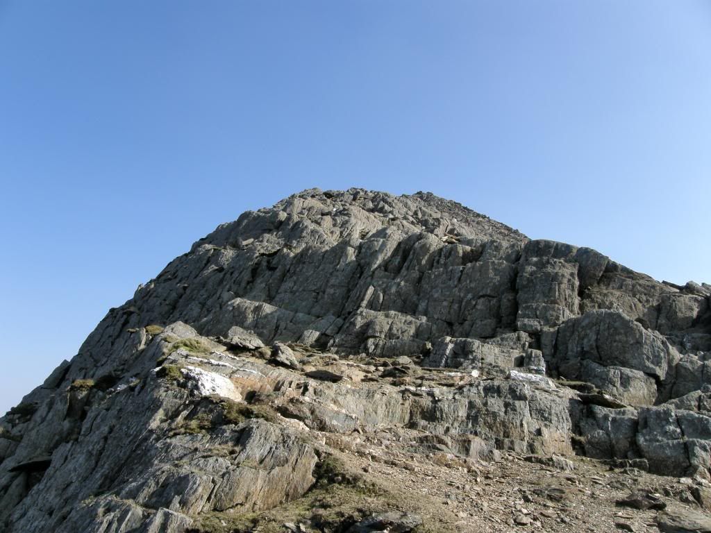
The first pinnacles – passed around to the left
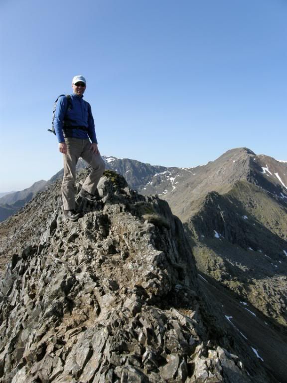
Graham negotiating the second pinnacles
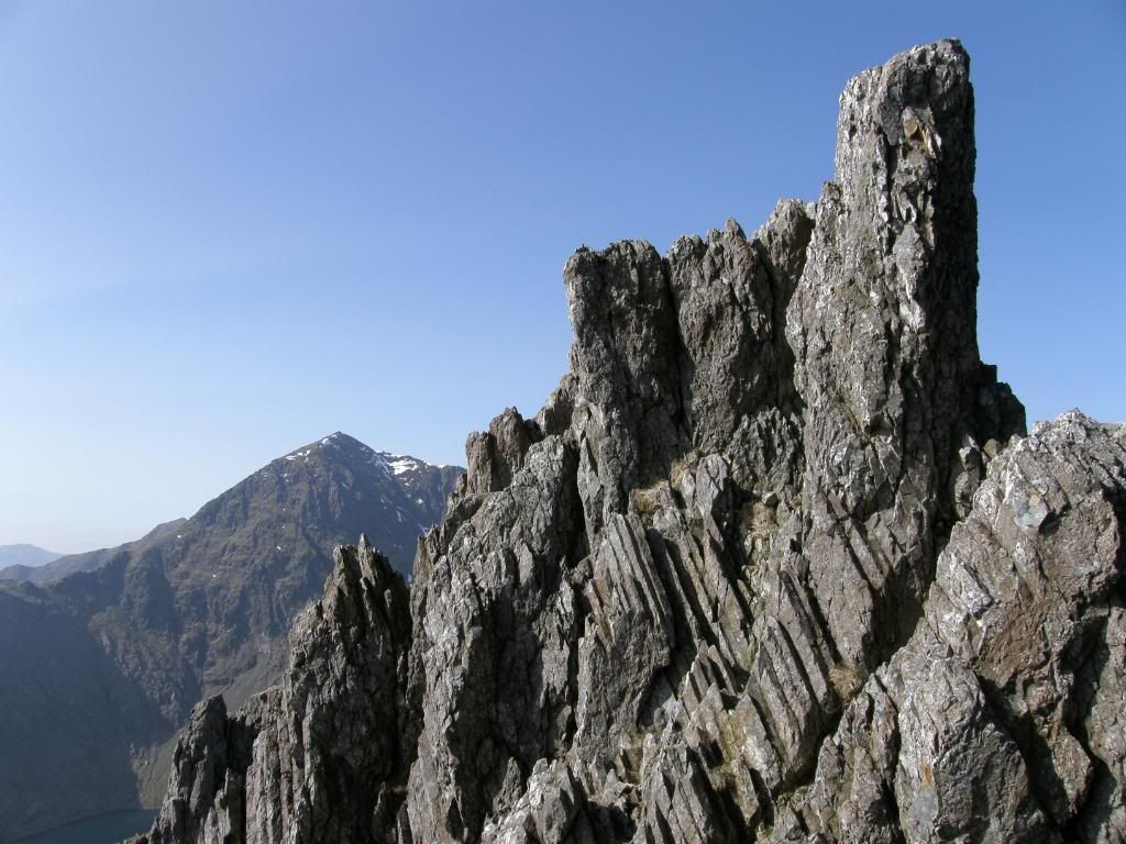
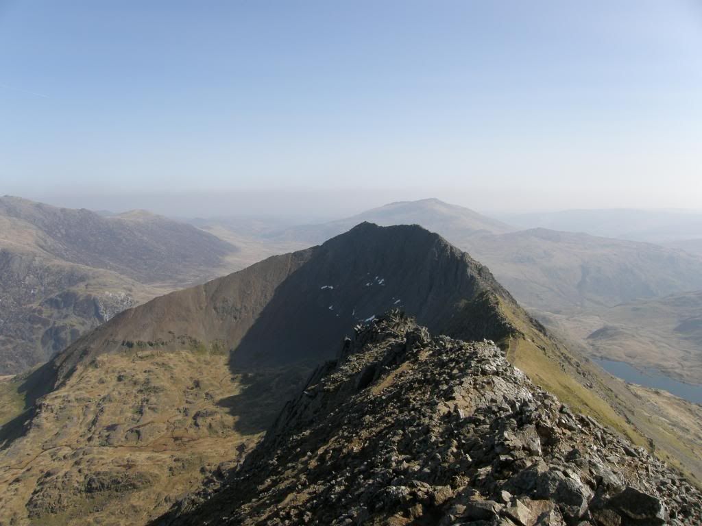
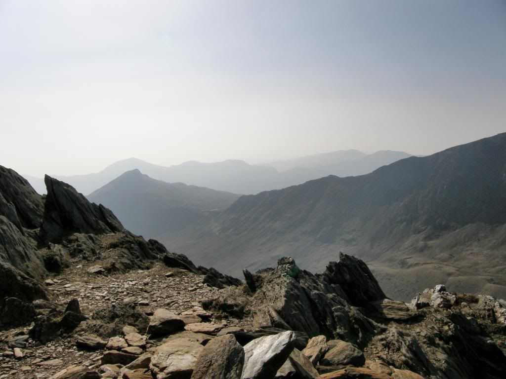
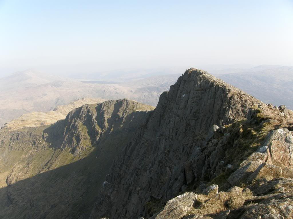
I had the same feeling of exhilaration when looking along the ridge as the last time I was here and Graham admitted that this was a real buzz, if a little intimidating. But we both agreed that it is mostly in the minds eye and technically the walk along the top is not too difficult if you have a good head for heights. The drop off to the north is probably 300 to 400ft before you reach solid ground – enough to hurt pretty badly, and unfortunately a few have lost their lives up here, so it is not to be taken lightly. But the slope to the south is a little less steep for the majority of the ridge and can be quite safely walked along. One or two places are very steep and require a steadying hand for reassurance, but it doesn’t last long. The first pinnacles can be climbed if you so desire, but we both walked around the base of them and admired the view ahead. The second pinnacles however cannot be avoided, but the route up and over is clearly marked by the oft used ‘steps’ that take you up and over without too much hassle – good handholds all the way. Yes it is a little exposed, but you don’t spend the time hanging on with one hand looking behind you. We soon passed down to the col of Bwlch Coch and then had a brief respite from scrambling as we walked uphill towards our next objective Garnedd Ugain, with the crescent shape Crib Goch looking sublime behind us. We kept looking over to the Glyders expecting to see the top of Tryfan appear as we got higher up the hills, but it remained hidden behind Glyder Fawr. We could see the Carneddau beyond the Glyders and Moel Siabod was also prominent to the east.
A peaceful spot beyond the second pinnacles
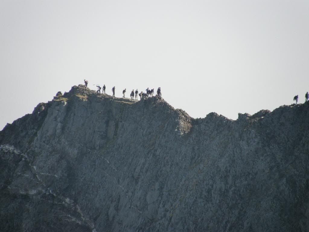
A bit of a crocodile forming along Crib Goch
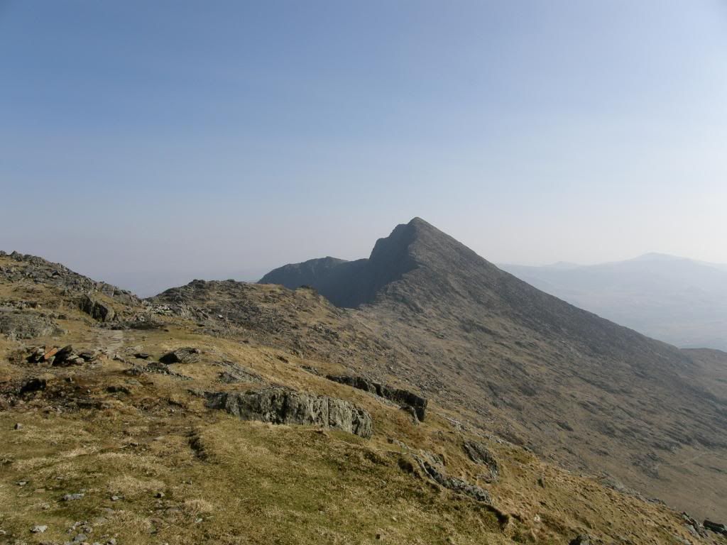
The red ridge of Crib Goch getting smaller as we get higher
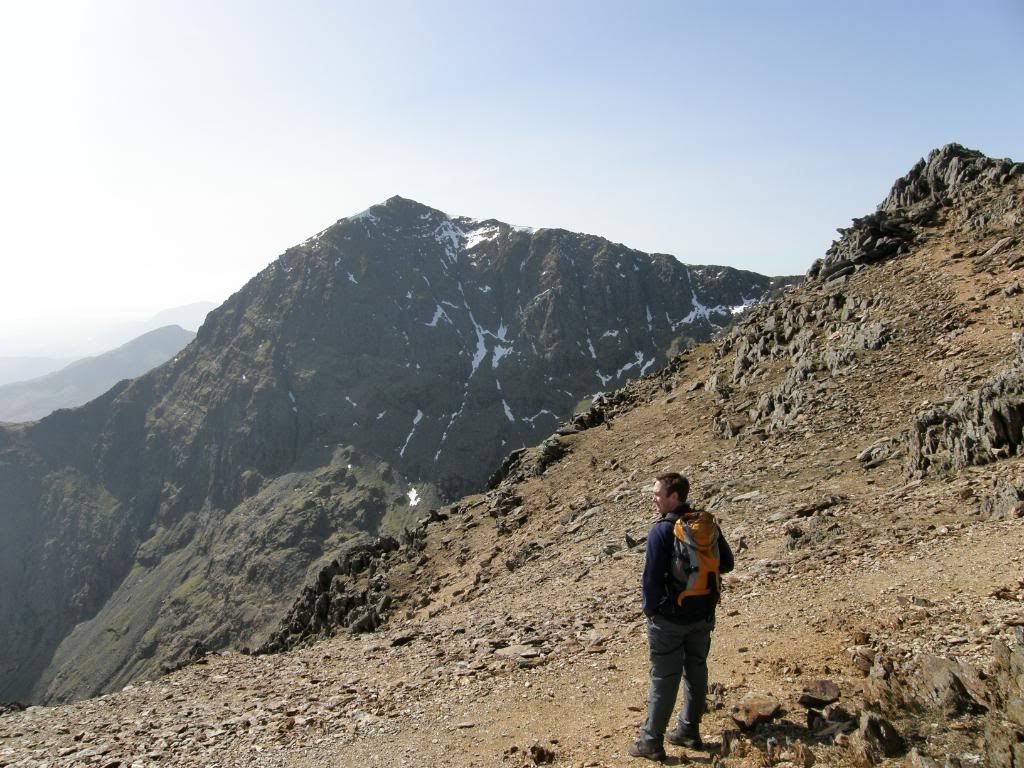
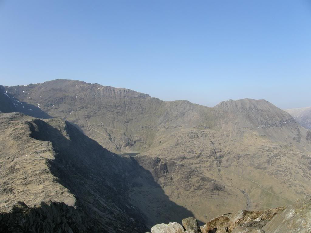
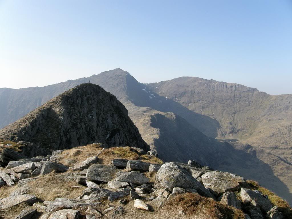
As we approached the end of the grassy path up we were faced with another scramble up onto the ridge that leads up to Garnedd Ugain. As on Crib Goch the last time I was here I had to retrace my route as it became too steep in places, but this time it was relatively easy and I managed to follow a well used climb with plenty of grip for boots and hands. By the time we had got up on the ridge I felt absolutely bushed. I don’t know why today but I had very little energy and found the steeper parts real tough going. But we rested frequently and the views were magnificent, and I’m sure that Graham will be back here for a walk in the future – so much choice of so many hills. We didn’t meet a huge number of people doing the horseshoe today and despite being slow we weren’t passed by many people either. Just one runner who was wearing a SA cricket shirt, and we both wondered why you would rush around on a day like today and not stop to admire the scenery and enjoy the peace. The further along the ridge we got the easier it became with the gradient easing off towards the trig point and the path becoming more user friendly. This route is a bit like a step aerobics class and if you walk up here and your not fit for purpose (like me today) your legs will be hurting for a few days afterwards. Obviously the higher we got the better were the views and on the summit of Garnedd Ugain they were fantastic – vast, vast views to all points of the compass, with the only shame being the hazy sunshine. I swear I could see my house from here.
Admiring the views before pressing on to Garnedd Ugain
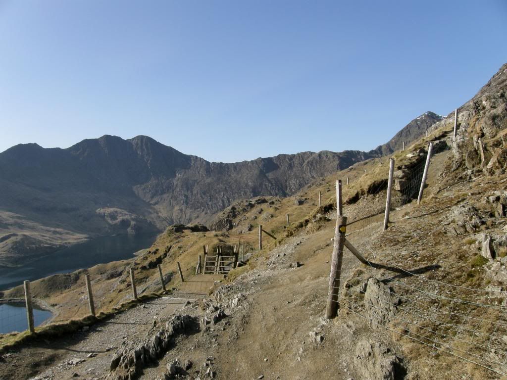
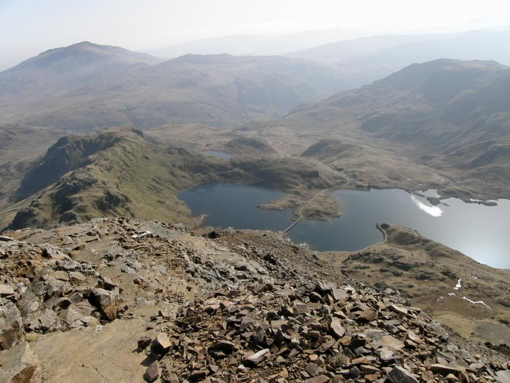
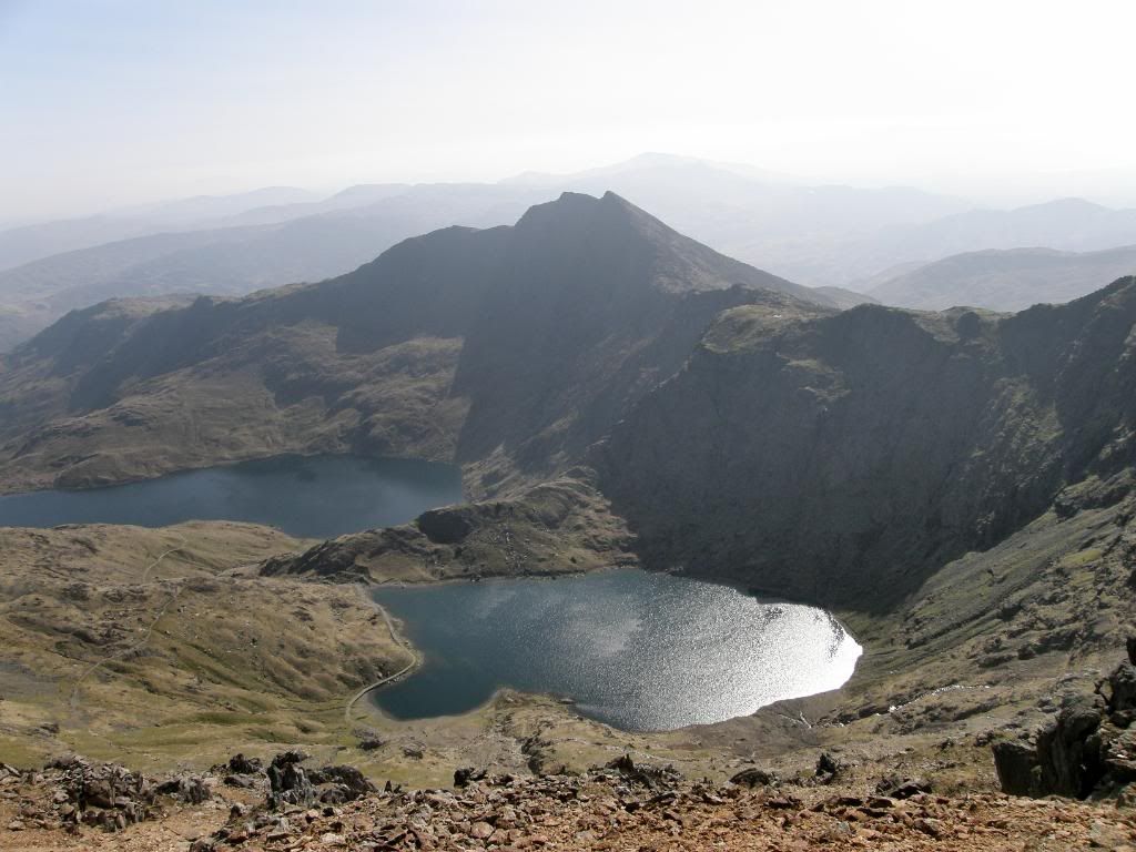
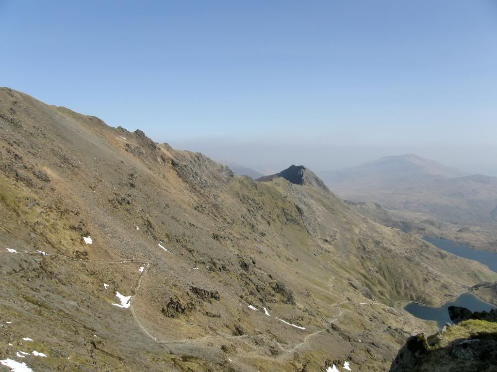
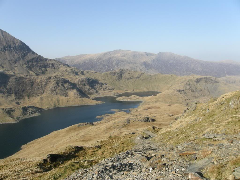
Y Lliwedd across the valley above the waters of Glaslyn and Llyn Llydaw below
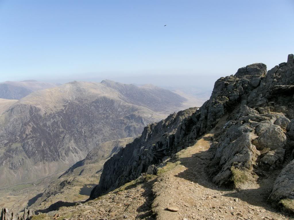
The glyders across the valley
The PYG finger post
You can see the PYG, miners track and Crib Goch in the distance
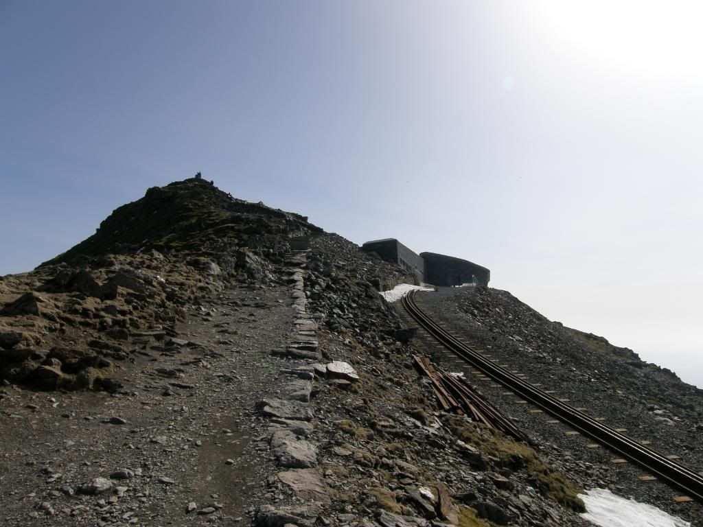
The summit and summit café/station to the right
We dropped gently down towards Crib y Ddysgl and our route curved around to the
Y Lliwedd beckons
And looking back up to the summit, the path feint across the slopes
Whichever way we chose to go the path down was steep and stony, and we dropped down around a 1000ft from the summit of
The steep face of the East
The final climb to the top – thankfully
Across the valley to Crib Goch and Garnedd Ugain
The view behind us of Yr Aran
The east peak and the route down
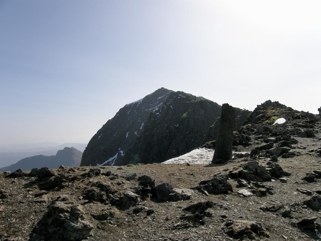
Looking back to the west peak
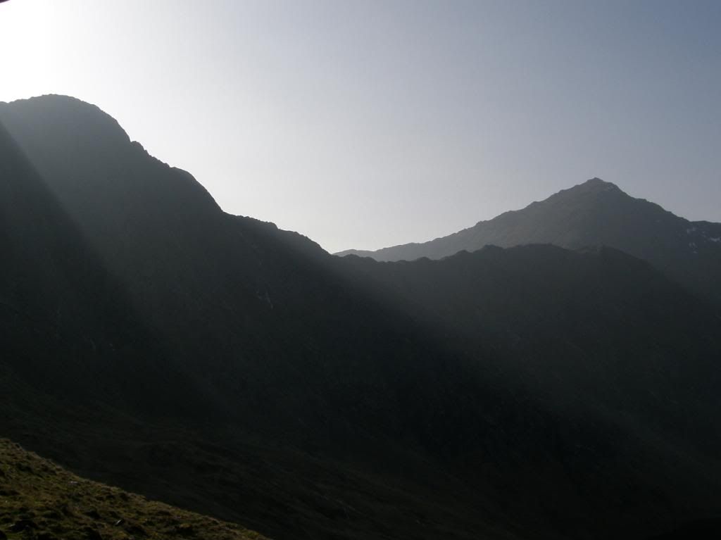
Soon enough we made the summit, and it was a great feeling knowing that we had finished the climbs for the day, although we still had the long steep path down to the miners track. We stood and gazed for quite a long time in the warm sunshine and took time to enjoy our achievements of this route – very satisfying and rewarding. As we stood on the east peak an older gent passed us by wearing a very distinctive garb of shorts over running tights. Not very sartorial but no doubt hugely comfortable, and at this point I thought I must wash my winter woollies when I get home, as anti-bacterial stuff can only limit the smell for so many sweaty walks. Soon enough it was time to make our way down off the mountain and we dropped down 1500ft on quite a steep path, which was torture for already sore thigh muscles and tender feet. The sun was now dropping to the south west and shafts of sunlight poured over Y Lliwedd giving some atmospheric pictures.
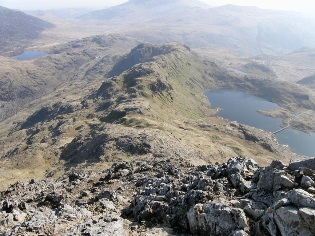
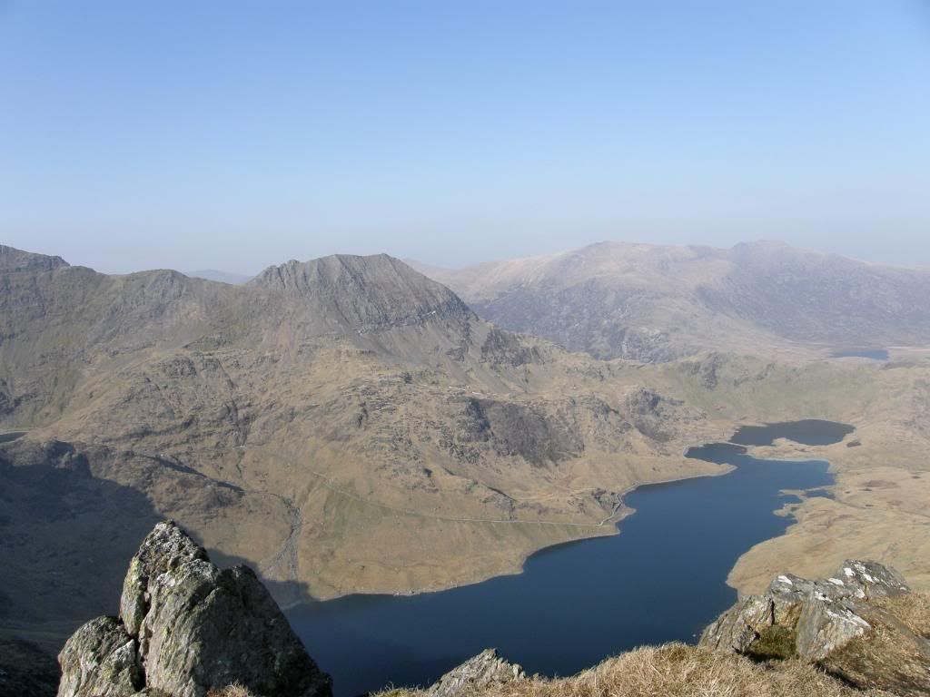
The inky waters of Llyn Llydaw
The twin peaks of Y Lliwedd
The path down to the valley below
An atmospheric shot in the late afternoon sun
Nearly down to the miners track
And a final look back to
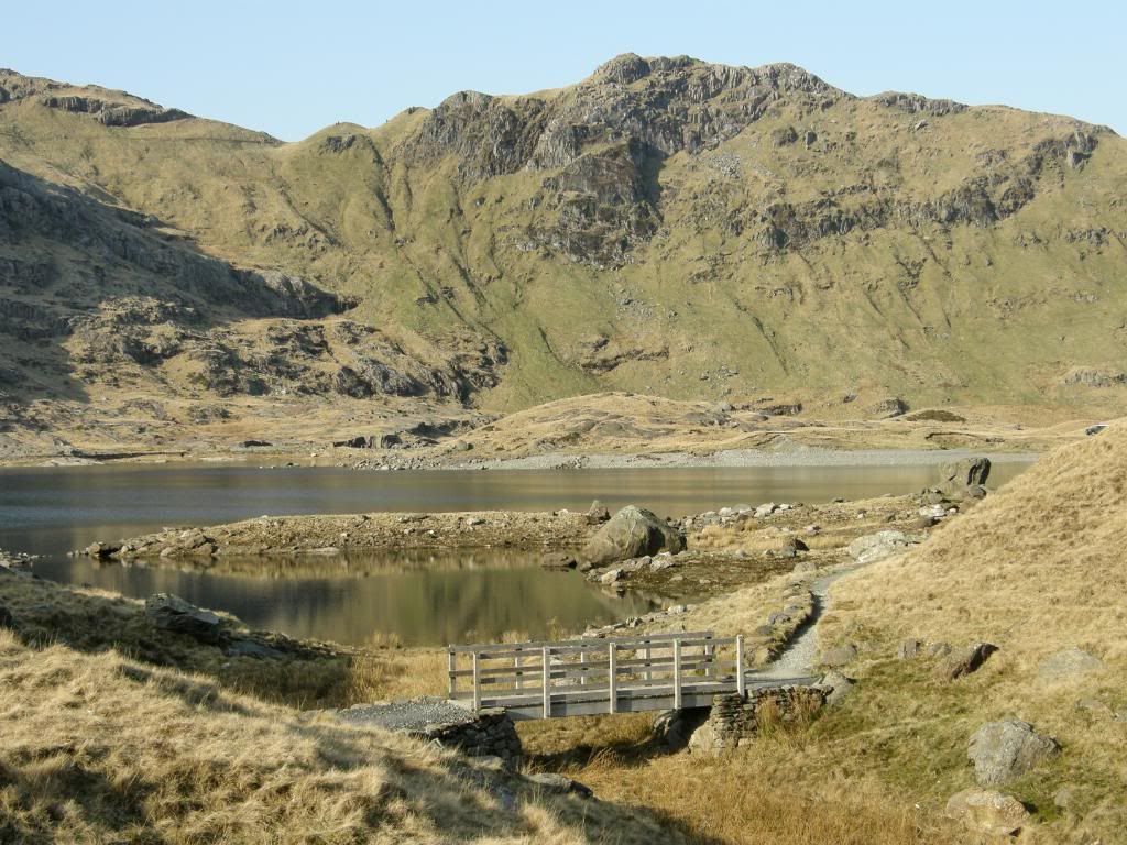
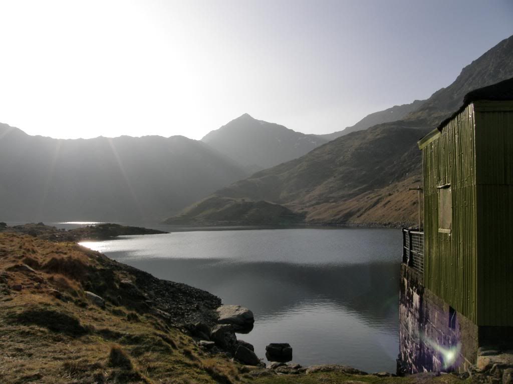
A small wooden bridge marked the levelling off of the gradient and a blessed relief for sore appendages. We passed by the green shed of the water pumping station and returned to Pen-Y-Pass car park along the well graded path of the miners track. The helicopter was still working away up and down the valley and the pilot must have been as tired as we were. Above us a paraglider gently swooped down the valley for an all too brief journey, and we both decided that feet on the ground was the best way to really enjoy this walk. Back at the car park we popped into the café for a well earned beer and a bar of chocolate, and browsed the pictures of past local history on the walls. What a brilliant walk, in brilliant weather – Snowdonia a majestic setting.


Looks like you had a fantastic day chaps. Shame I had to miss it because of work, this walk is one of my must do's for this year.
ReplyDeleteThat's a fantastic post with so many pictures and such detailed description of the route. I am going to do the horseshoe next weekend and couldn't find enough pictures to give me an idea of the overall route (as well as a more detailed description of the dreaded ridge and the pinnacles).
ReplyDeleteyour post has helped me tremendously and I now don't feel quite as apprehensive about tackling this scramble :)
Thank you
Dee
Mate, an awesome photo record of arguably the finest ridge walk in England & Wales :-)
ReplyDeleteI was up there 2 days ago. These photos are making my hair stand on end, just beautiful! I have done the walk many times, but only once or twice in weather like you had here. A rare privilege in N Wales ;-)
Glad you enjoyed it. It hasn't been the same since that day weather wise
ReplyDelete