Galloping up Green
7th February 2009.
Map: Landranger 91
Weather: Mainly dry and overcast with sunny spells – high cloud, with cold winds blowing
From Newbiggin-on-Lune all the way to Green 
Copyright OS-Click on map to enlarge, then hit the back button to return to blog
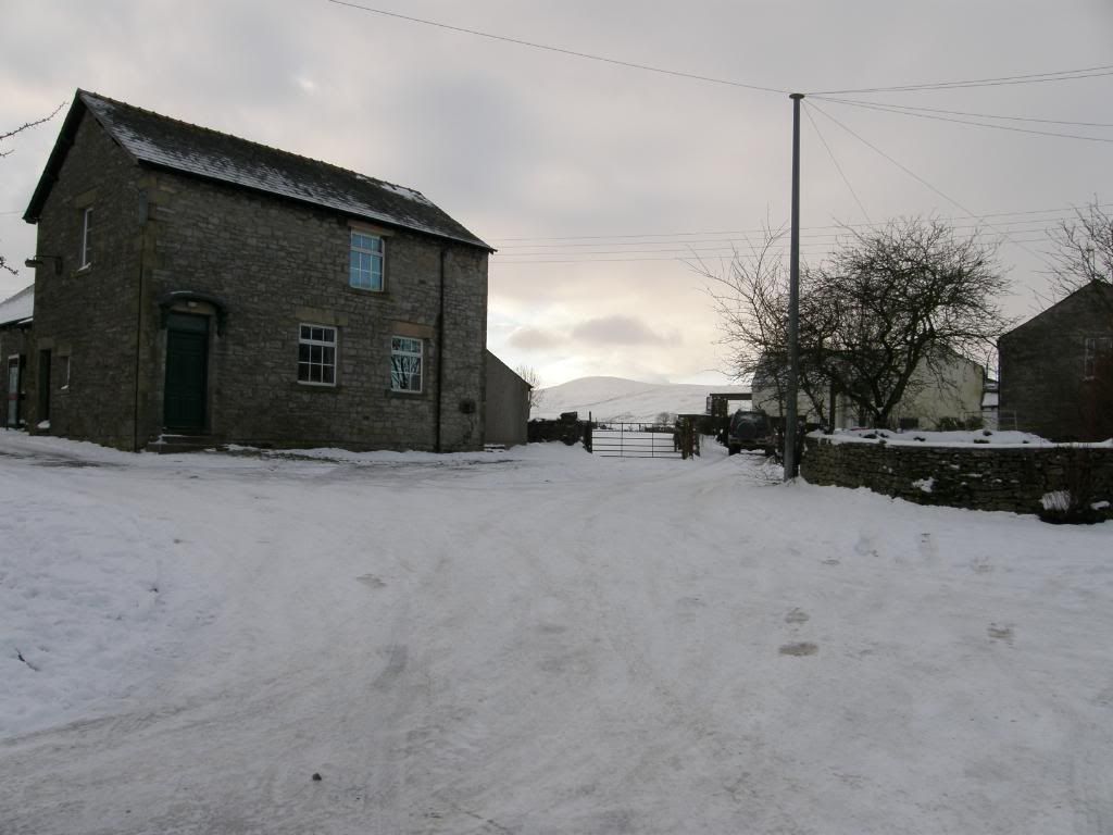
The path should go through the house on the right?
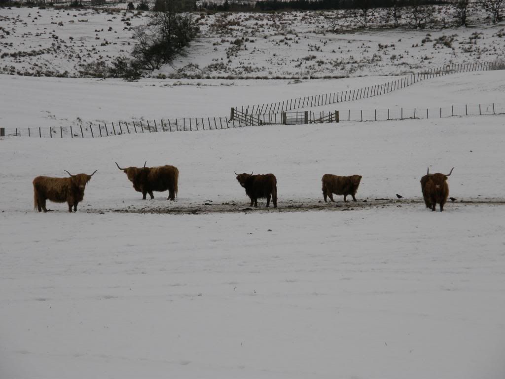
Good mooo-rning
We about turned, and wandered off to the other end of the village, being very careful of our footing on the icy road. The first wildlife of the day was a group of
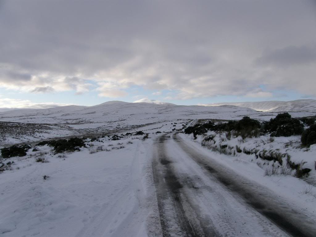
Today’s destination in the distance
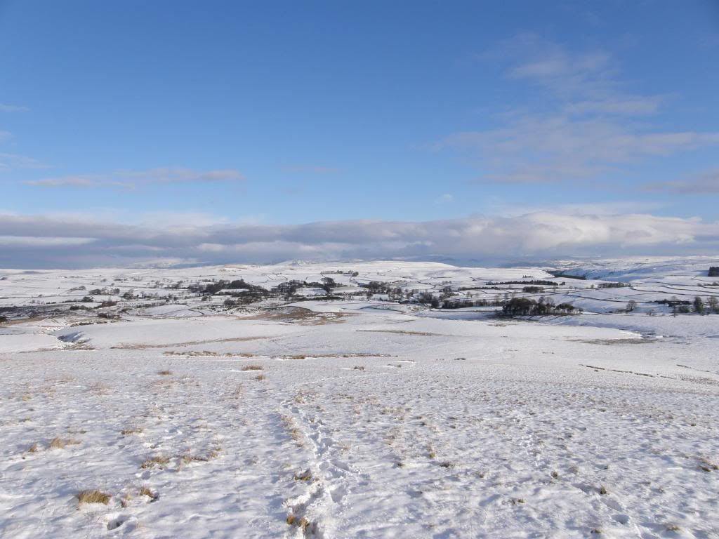
Looking back down to Newbiggin-on-lune
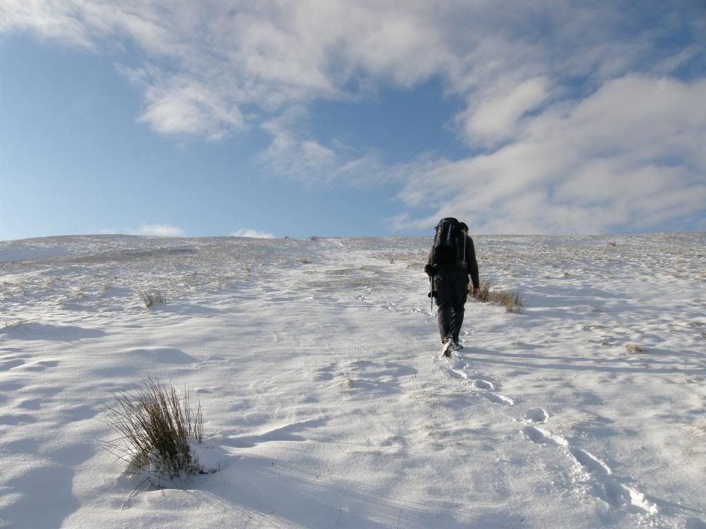
Plodding along through the powdery snow
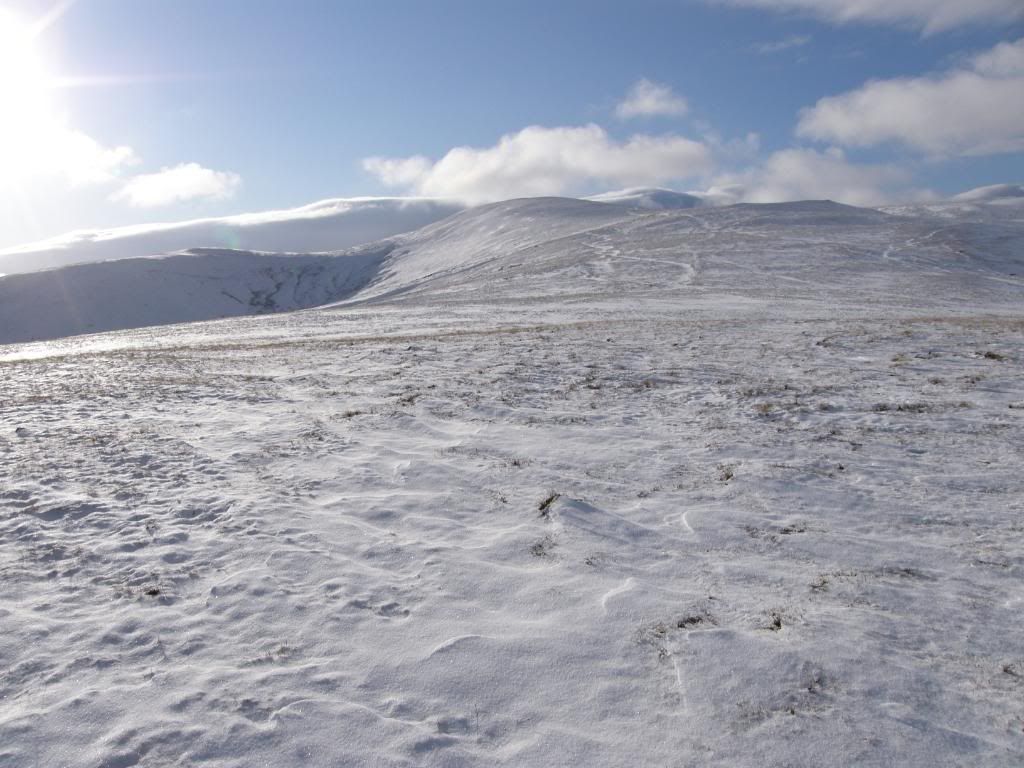
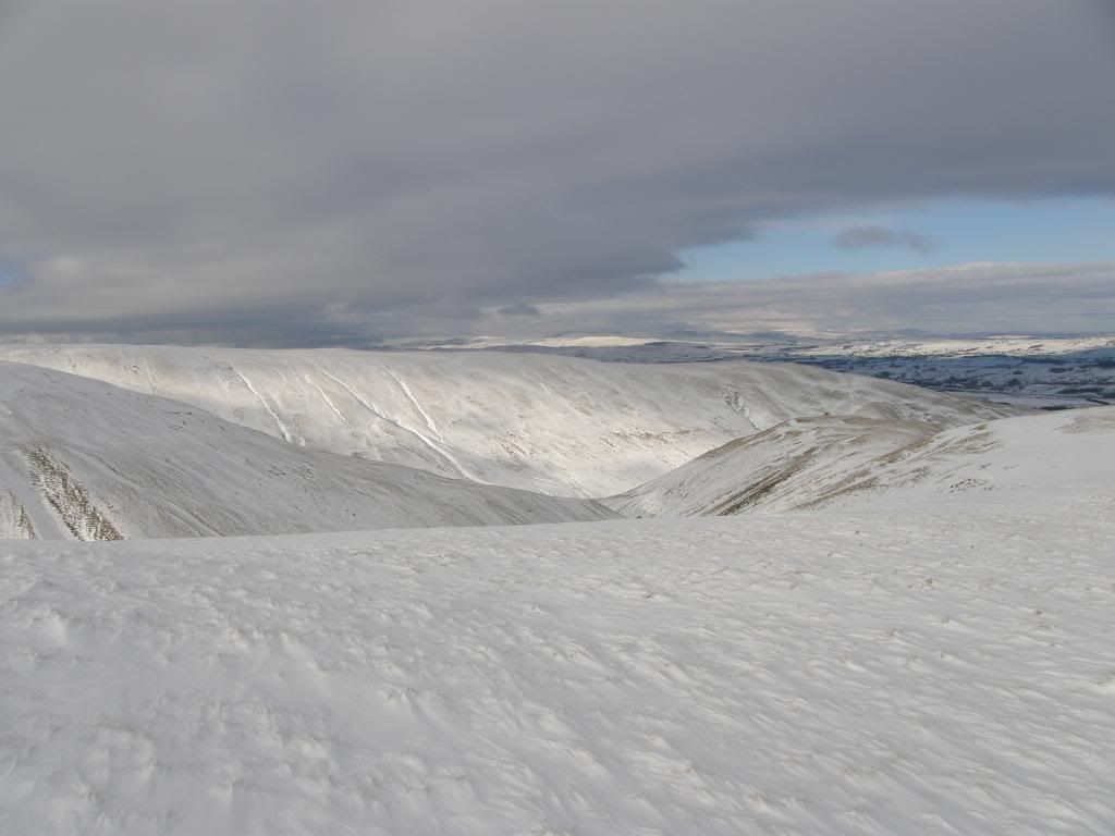
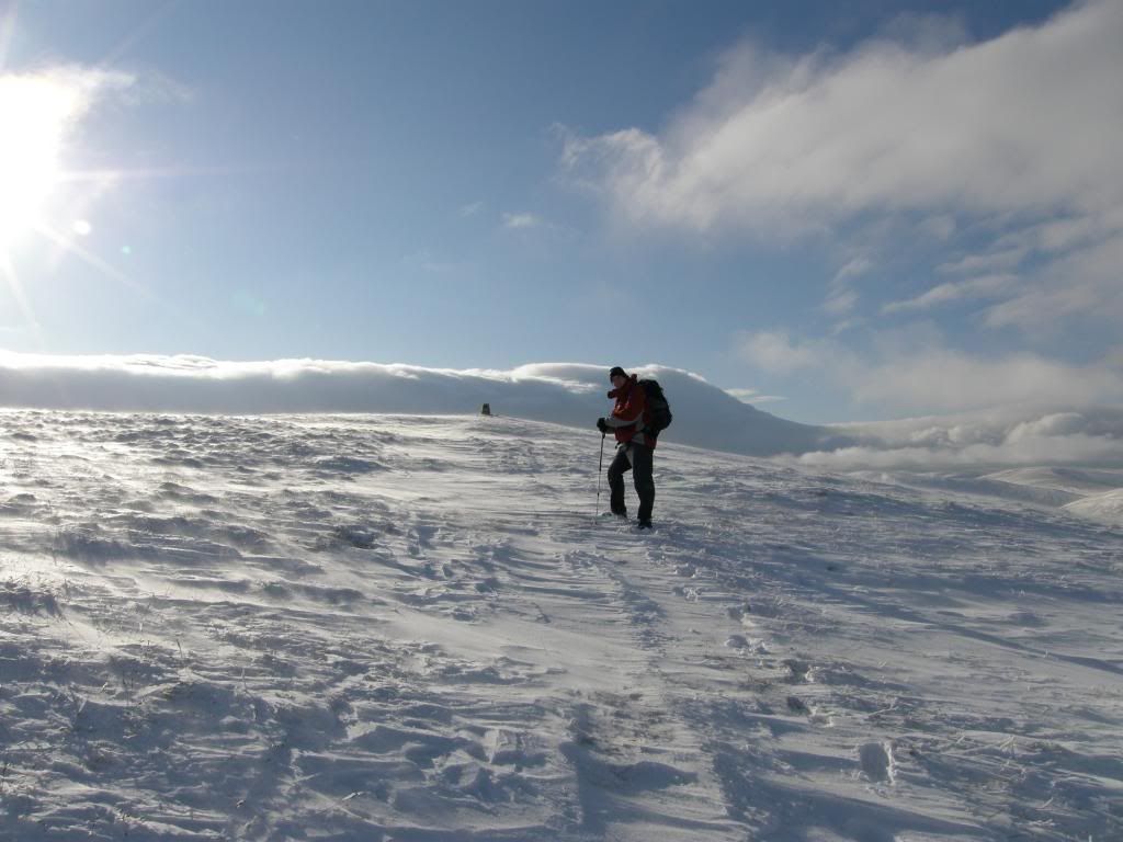
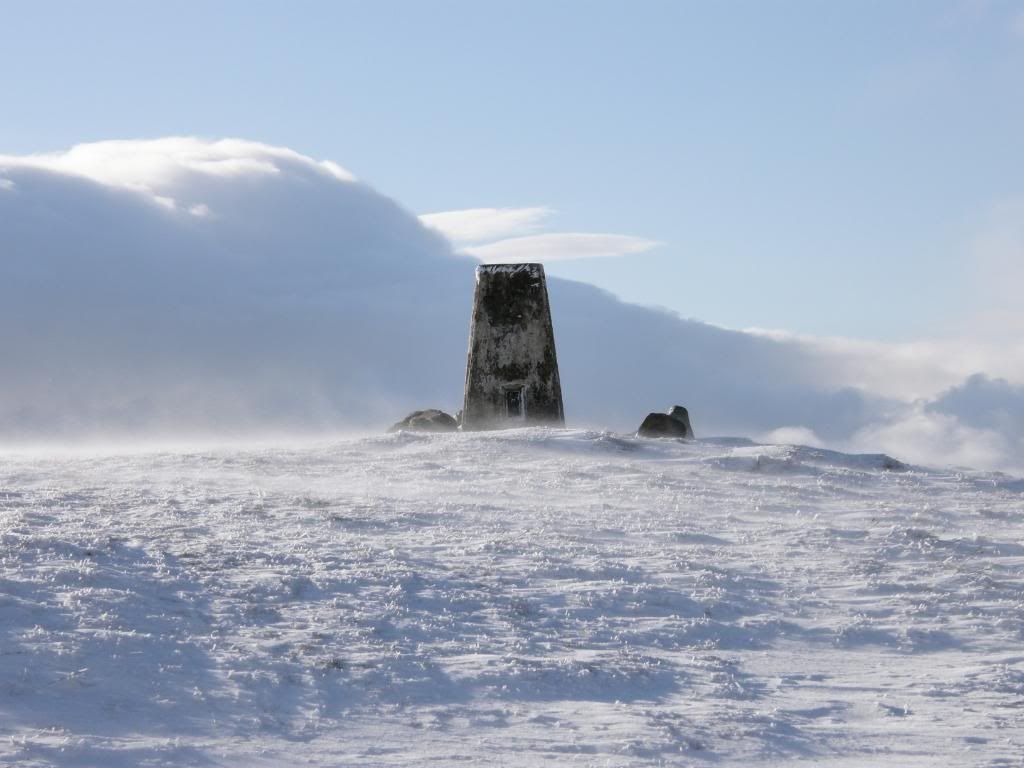
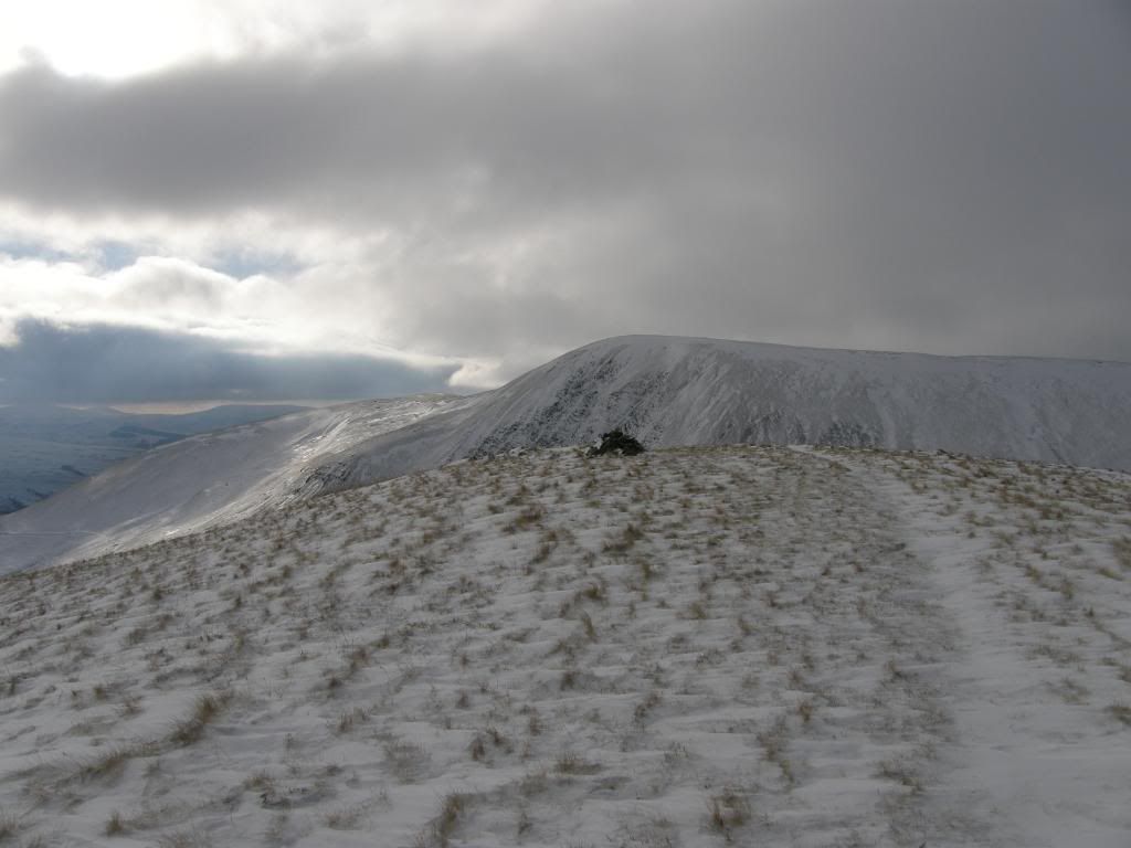
There were no rocks, no plants, no wildlife (apart from Sean the sheep, and some dog tracks) and as far as we could see no path. The snow had drifted across the slopes, and there were no defined paths that we could pick out. Stuart used his GPS to close on the path up the hillside, but if anything it was harder going than before – we ended up at 1mph – slow but have you tried walking like a flowerpot man continuously? It was also on/off with the layers until we both felt comfortable. It was a long haul up to the summit, but we did have a little bit of sunshine along the way and as we got higher the wind picked up and was cold against a sweaty face. We followed a set of footsteps for a while, but the upper slopes were increasingly snowy and the wind was blowing the snow across us like a sandstorm. We walked in single file and periodically swapped around as it is better to follow each other’s steps, but obviously is not the best for conversation. Eventually Green Bell trig point came into view, and the wind was whipping the snow across the slopes like in a sand dune.
A bit closer to the summit
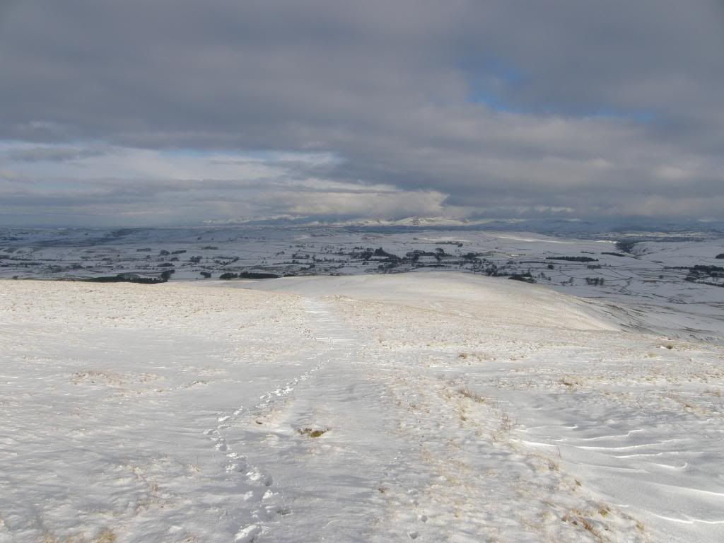
And the view back down the long slope up to green
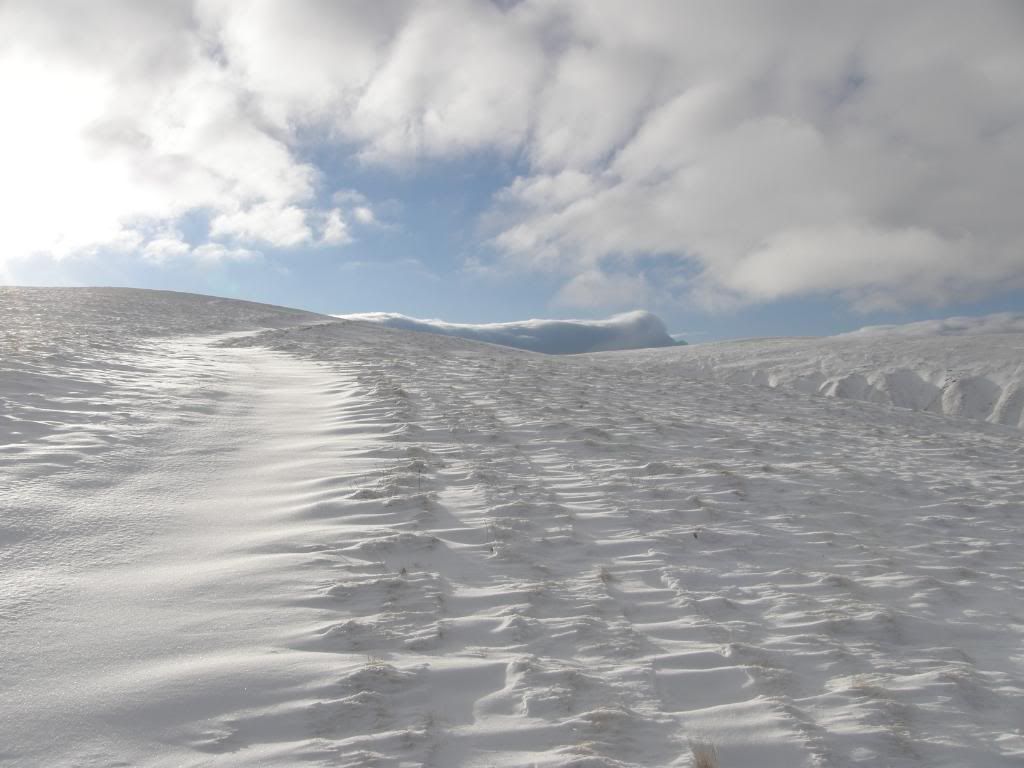
Towards the summit the snow is more wind blown
Looking
Stuart glad to see the trig point hove into view
A windy but picturesque trig point
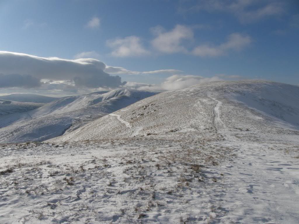
Our next hill - Kensgriff
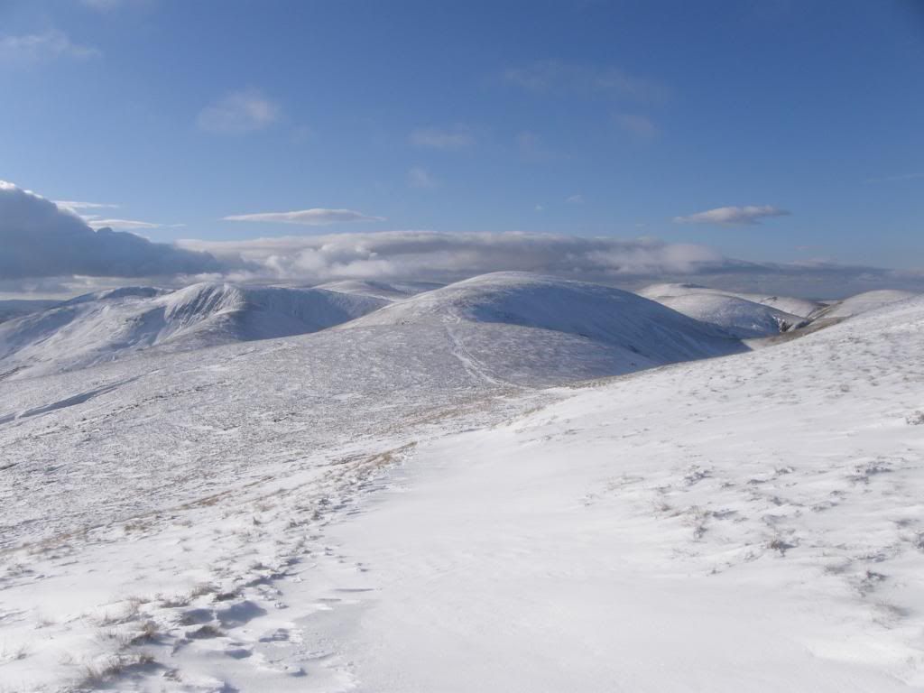
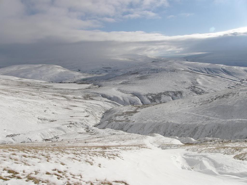
At last we stood at the top of the hill and were rewarded with big views all around, with the landscape bound up in a covering of snow – I’m glad I had the sunglasses with me. There was a white Crosby Garrett Fell to the North, Wild Boar Fell to the East, with lots of other Howgills around, all completely covered. We looked over to Randygill Top and re-evaluated our route, and decided to contour around the side of the hill over to Kensgriff, as we were thinking about Yarlside to come which looked decidedly steep to me. Going downhill from Green Bell was good fun in the snow, but crossing the side gulley’s that ran downhill to Stockless Gill was a different story. They were waist deep with snow, and hid some bigger drops beneath their snowy cornices, so there was no choice but to walk uphill to where the gulley’s were smaller and cross over there. Even then they were still snow filled and we had to tread warily. All of this took time and after having a good look around at the gulley’s we eventually made it down to the col above Great Randy Gill.
The path across to Kensgriff
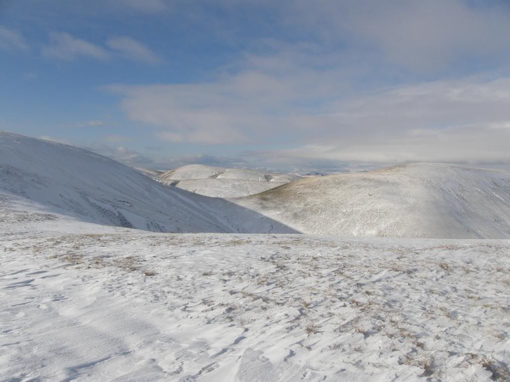
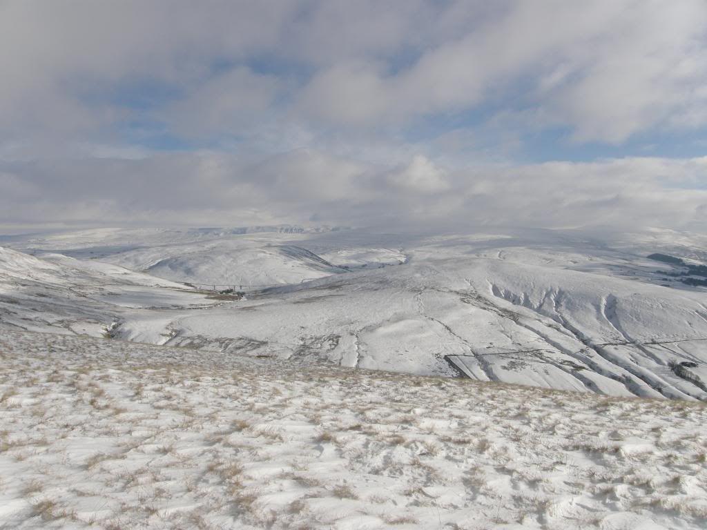
The view away to the northwest
One of the snow filled gullies – the view to the south east
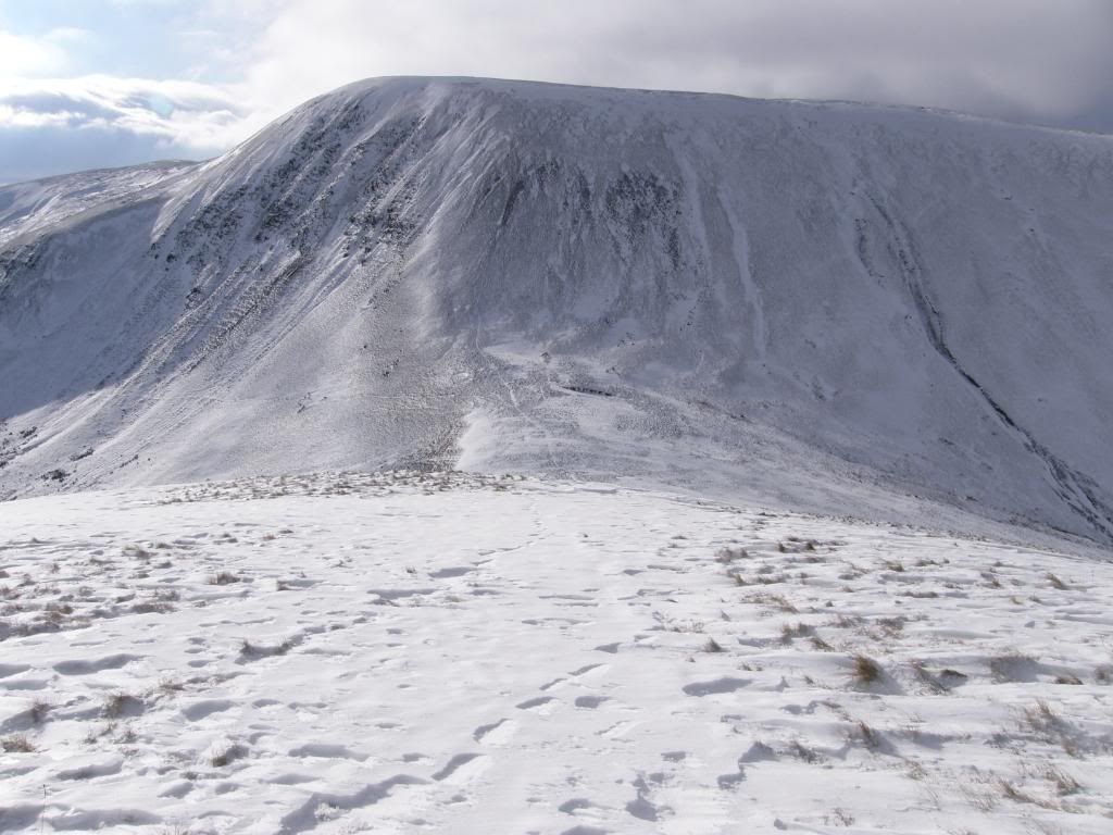
Kensgriff with Yarlside behind
The top of Kensgriff marked with a small cairn
Beautiful views all around
Kensgriff was next on the agenda and we egged each other on not to abandon the walk too soon, if only to get a full view of Yarlside from the top. The slopes up to Kensgriff were icy, like a glacier would be – only a million times smaller and not full of crevices. It was enough to make us ponder the wisdom of going high up on the Lake District fells today, and we later found out that several experienced walkers had called it a day at the same elevation we were today due to the ice and cold. We got to the tiny cairn on top of Kensgriff and gasped at how steep the path up Yarlside was. It would be bad enough in the summer – and this was confirmed by a local walker Mike Knipe, who has an excellent blog about the Howgills here – http://doodlecat.com/
This is an extract from the September entry of the Howgills diary over on Doodlecat regarding Yarlside:
The next bit is, I like to think, the crux of the route. It's a bit of a stopper for anybody who doesn't like very steep grass, and descending it is a bit like walking off the end of the world. However, on this occasion, we have to climb up it. It's the slope heading up to the top of Yarlside - Yarl being Norse for "End of", as in "world".
This slope is steep, and it goes on for about 120 metres. It has no crags, apart from some slightly off-route mixed ground, but it does have a few bits of scree and the grass at the steepest part doesn't appear to have been properly fixed down when it was built. It would be nice to be able to say something like "the climb was soon accomplished", but it wasn't. The sweat ran into my eyes and I struggled upwards in a series of semi-balanced lurches and uncoordinated wobbles. Bruno's extendable lead was fully extended, so he had to wait till I caught up. I paused, panting, several times to admire the view of Kensgriffe. This is the last time I will mention Kensgriffe with its extra "e".
Just a mention for anybody climbing up or down this slope when it’s frozen up or under snow - it’s highly likely that an ice axe will be needed to negotiate it. It's also possible that should the snow be very hard and/or iced, a pair of crampons worn on the boots (not impaled into a water bottle, which is what I once did), would prevent a very nasty accident. It’s probably more likely that in typical winter conditions, the slope would be iced, but without a significant covering of snow, and in these conditions, a descent in particular could be interesting to say the least, and probably quite quick.
The steep path up Yarlside picked out by the snow
So it was nice to know that we made the right safety first choice in dismissing this route and cutting down Little Randy Gill. I’ll do Yarlside form the other side one day. The descent down from Kensgriff was quite steep so we headed for the deeper snow patches which made going downhill a little easier, as sinking up to the knees in snow does tend to slow one down a touch. Once we reached the top of Little Randy Gill we gave the icy path up Yarlside the cold shoulder and continued on our way down the gill. The slope here descended steadily and once more it was at least knee deep in snow. Stuart let out a yelp as he disappeared up to the waist and asked if that had sounded a bit girly! But I had my fair share of snow up to the crown jewels and was glad that my waterproofs were....waterproof. Luckily neither of us suffered anything other than a temporary loss of dignity. Further down the slope there was a field of snowballs that had rolled downhill from the top and looked almost like a gravestones, but not as long lasting.
Little Randygill
Looking back up the gill – Yarlside to the right
Kensgriff is in the middle of the Randy gills
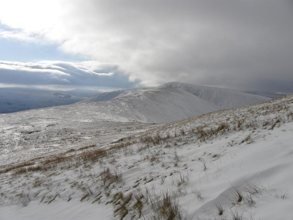
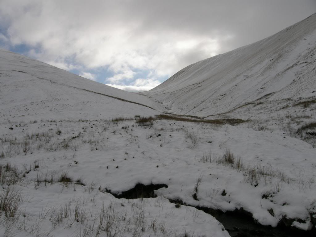
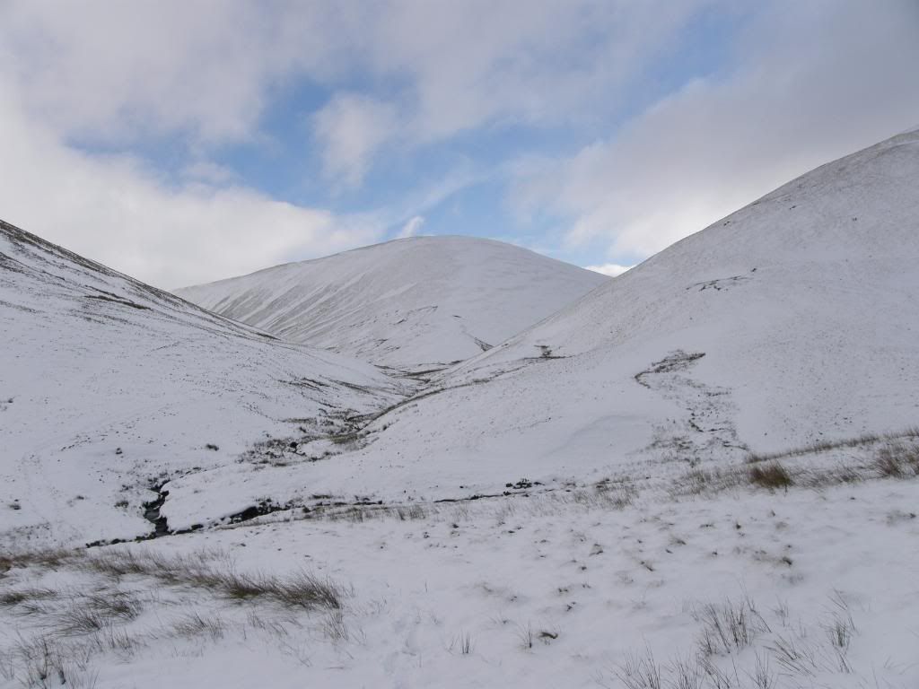
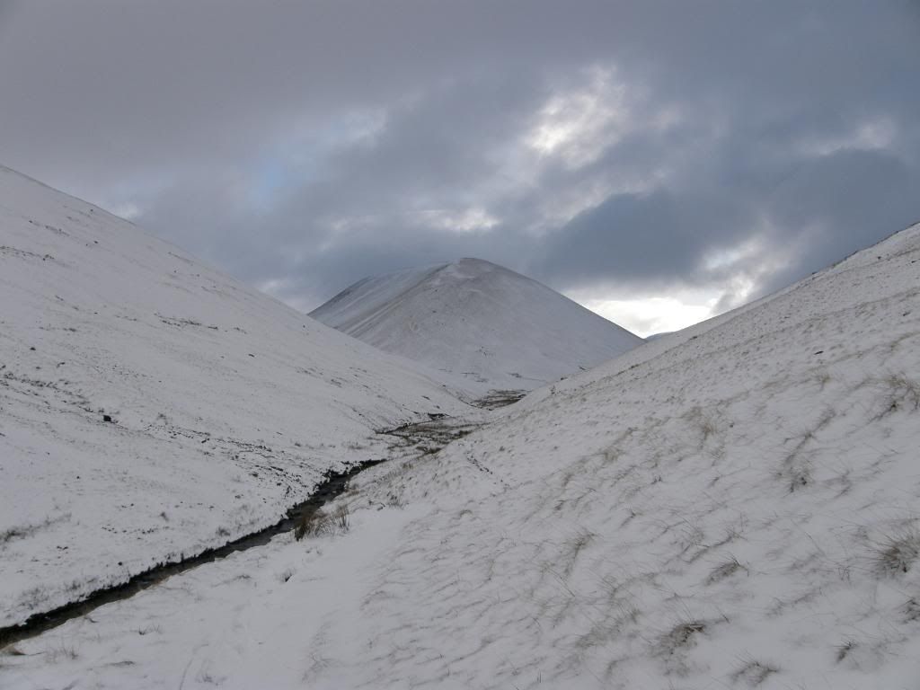
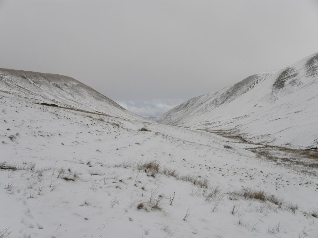
We negotiated the gill as we worked our way around to Bowderdale, and despite all the white stuff lying around there were some distinctly boggy patches appearing in our footprints. I think in normal times you would have to stay higher up on the slopes before cutting down to the valley. We found a crossing place and stepped smartly across to the far bank, and climbed up sharply up to find the path that runs the length of Bowderdale . There was someone highlighted on the skyline at the top end of the valley, one of only four people we saw all day. The path was feint and looked like it had been followed by a dog and some sheep. But they must have known their way home as we followed their tracks for a long way down the valley. The route here was narrow and required single file walking and some concentration as to where we were walking. Occasionally we lost the path but soon found it again – we knew the path as it was filled with 6” of snow for most of the way, and we plodded on – you can go off it you know, snow. There were small side streams to cross with deeper drifts but nothing like the higher slopes, and the views ahead in the valley were quite narrow and unchanging. Yarlside dominated the valley behind us and was illuminated now and again by a rare shaft of sunlight.
Looking back up Bowderdale to Yarlside
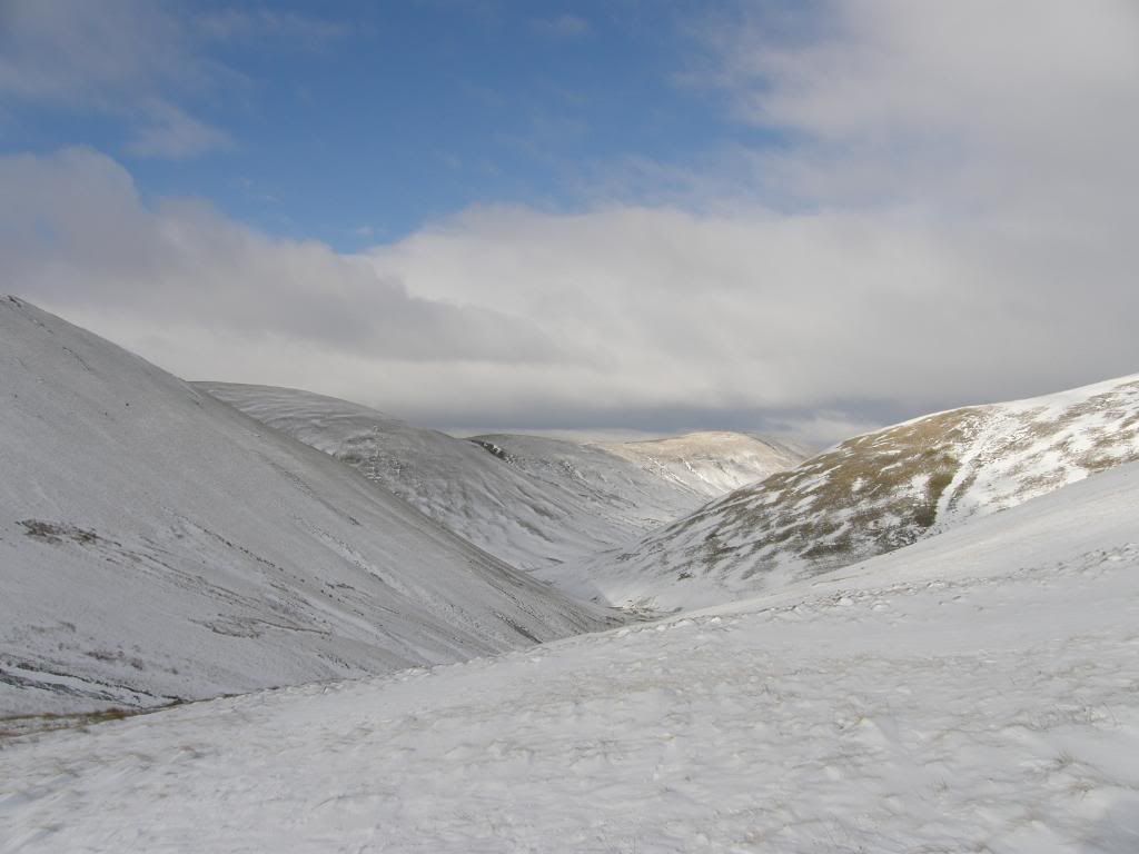
Bowderdale and a long narrow path back
Looking back once more to a backlit Yarlside
It was a long haul back along Bowderdale
Finally the landscape opens up
Snowy lanes leading to Bowderdale
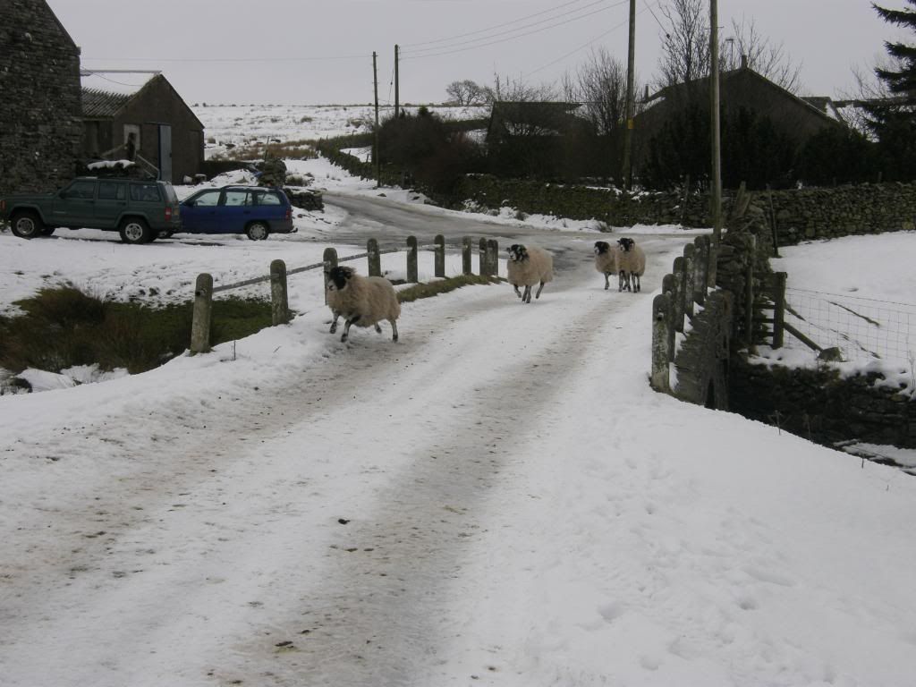
Leaping sheep
We had had the best of the weather – looking up to Green Bell
The wildlife was hidden from view today – sensible animals, and eventually the path widened out onto some pasture and a recognisable route by some walling. We met up with a ski trail again which followed us back down the slopes to the farm tracks and the small hamlet of Bowderdale. The sheep here were practicing the long jump across the bridge as we strode by, and we were glad to be back on a firm surface – even though it was ice covered - as we were both feeling the effects of the effort of walking through all that snow. So tired were we, that we decided to walk back along the verges of the A685 to Newbiggin-on-lune. I know that was a bad way of ending the walk, but it chopped about ½ mile of the journey and we’d had enough by now.
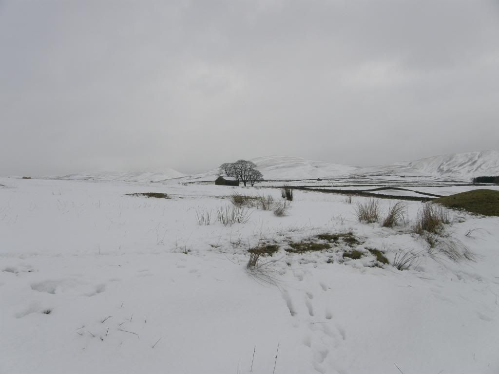
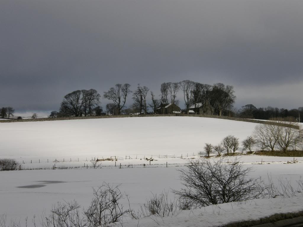
A lovely snowy vista
Two days of walking in the snow had taken its toll on me and the next day the backs of my calves were a tad sore. Tex-gore was meant to join us today but he had a sick note from Flex-gore saying “Please excuse Gore from your walk today as he has a touch of Man Flu” – I think he was right, but then again we did have some great views from the top. I’m sure we would have called it a day if we were out individually, but we egged each other onwards and upwards to finish the day. We got home in good time today and MCFC won, so overall it was another grand day out. When I got home the cat just stared at me form her perch in front of the fire as if I was stupid. Well sometimes I am, but it’s good to be alive and have a nice warming cuppa at the end of the day – aaaaggghhhh…..ooh that’s hot.
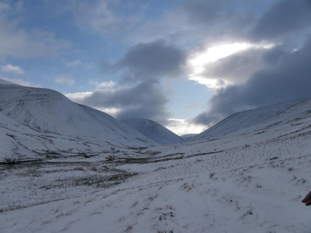
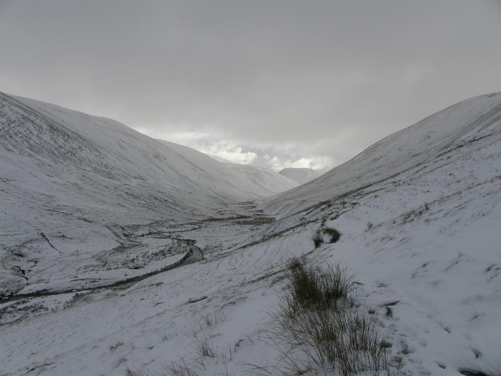
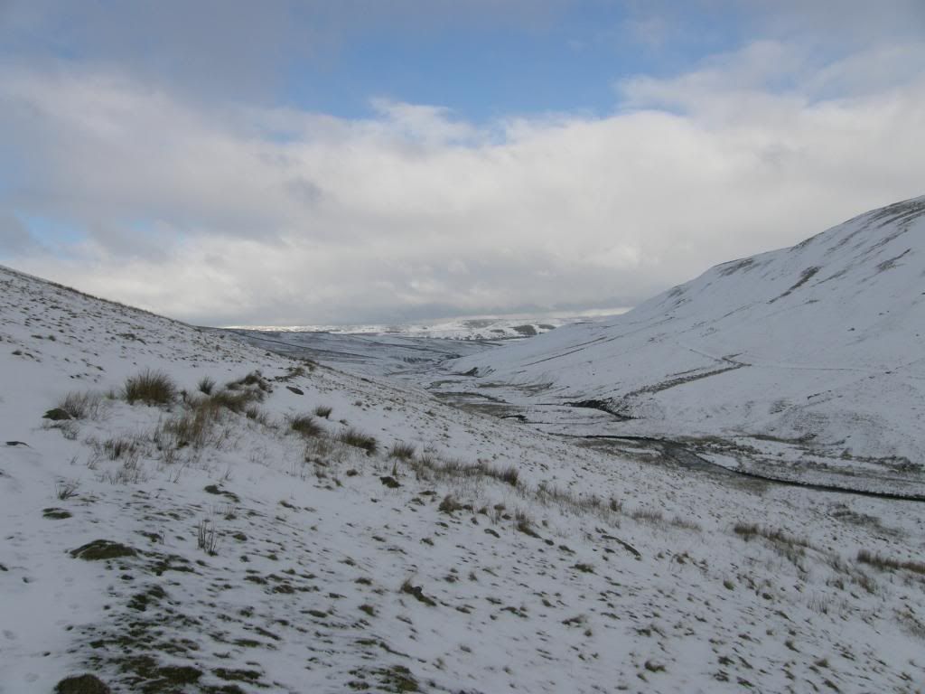
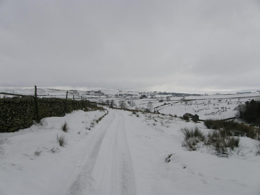

Smashing pictures, Pete - but the walk looks like hard work. I never got that much snow in the 12 months I was wandering about these hills. That slope on Yarlside is fine when there's no snow on it, though - just very steep. And in my humble opinion, its better to climb up it than down. Climbing down it seems a bit wrong cos you can't see what's below you... (But its OK really) And Yarlside has other, scarier challenges than this!
ReplyDeleteMike Knipe