Splodging around Bowland Fells
27th February 2008.
Map: Landranger 103
Copyright OS-Click on map to enlarge, then hit the back button to return to blog
A circular walk from
A week ago the cat woke me up at 5am, and today it was the biggest earthquake in the
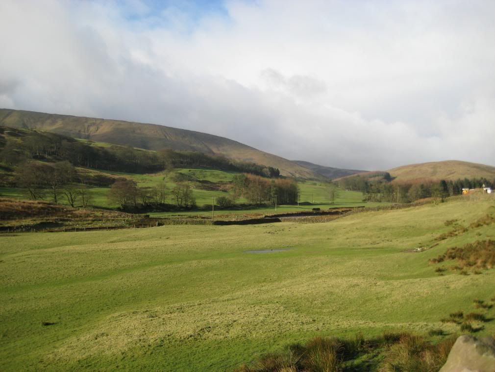
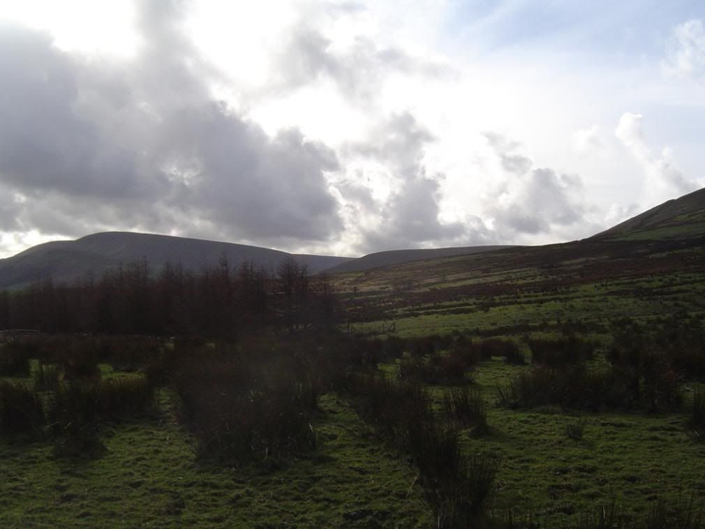
The Bowland Fells cloaked in broken cloud
I would have liked to have gone back up to the
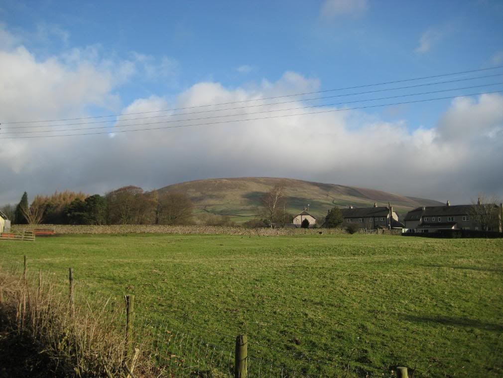
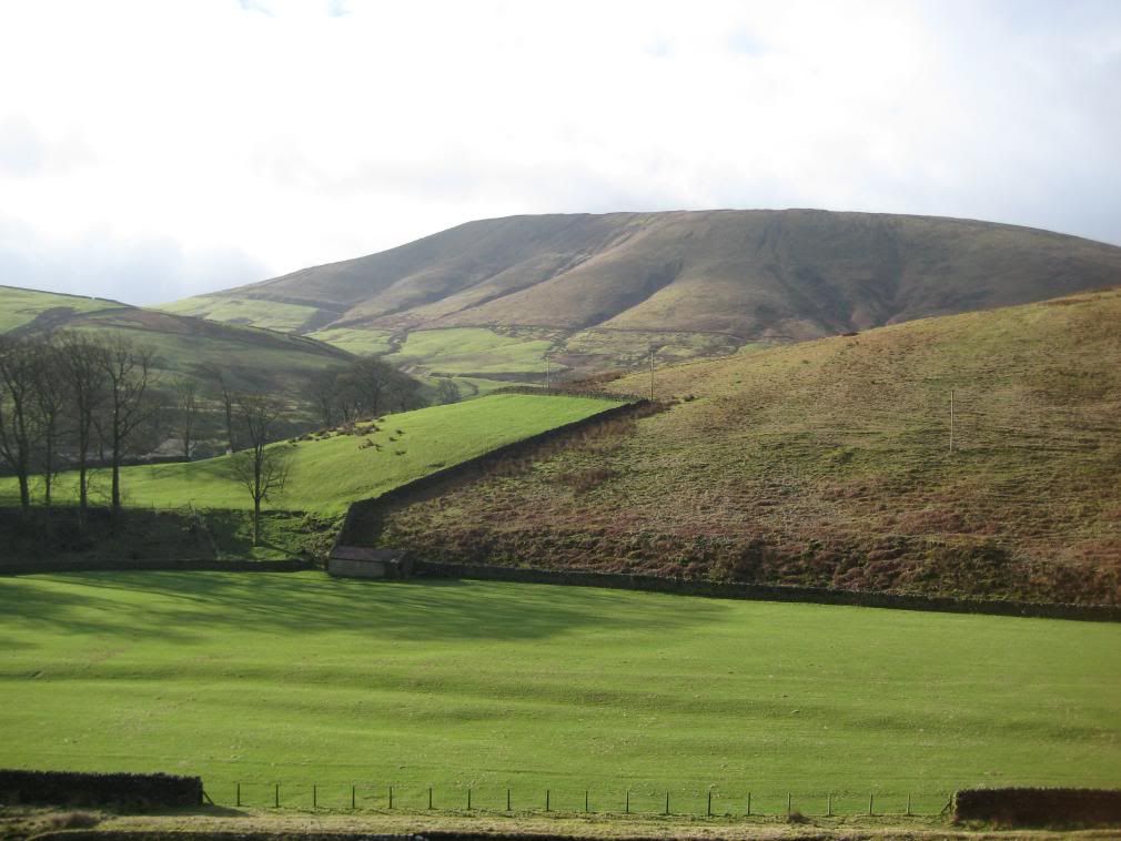
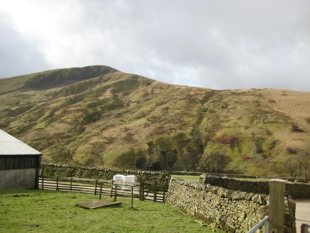
Beatrix Fell from
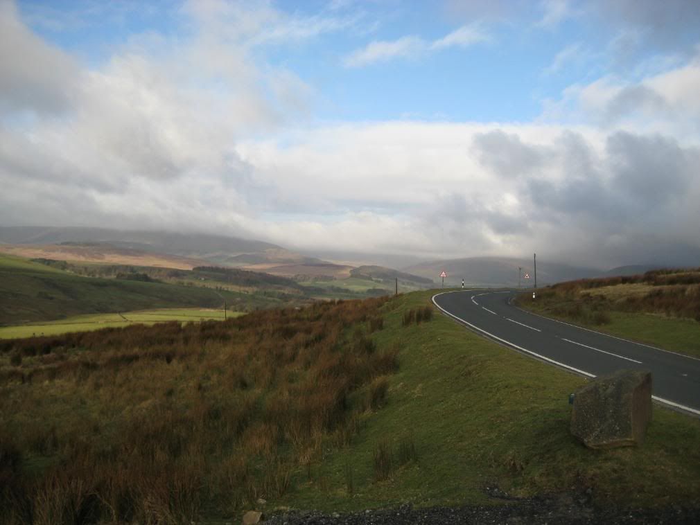
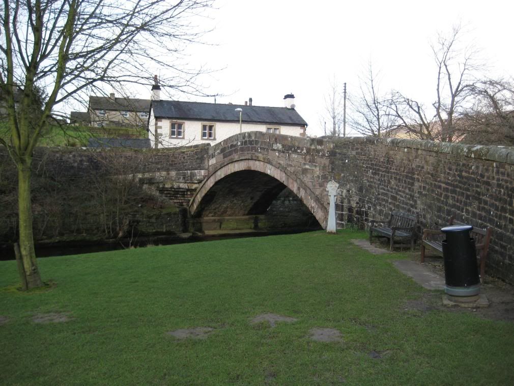
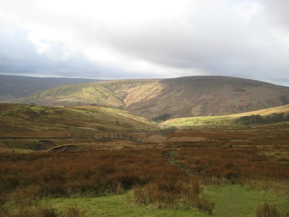
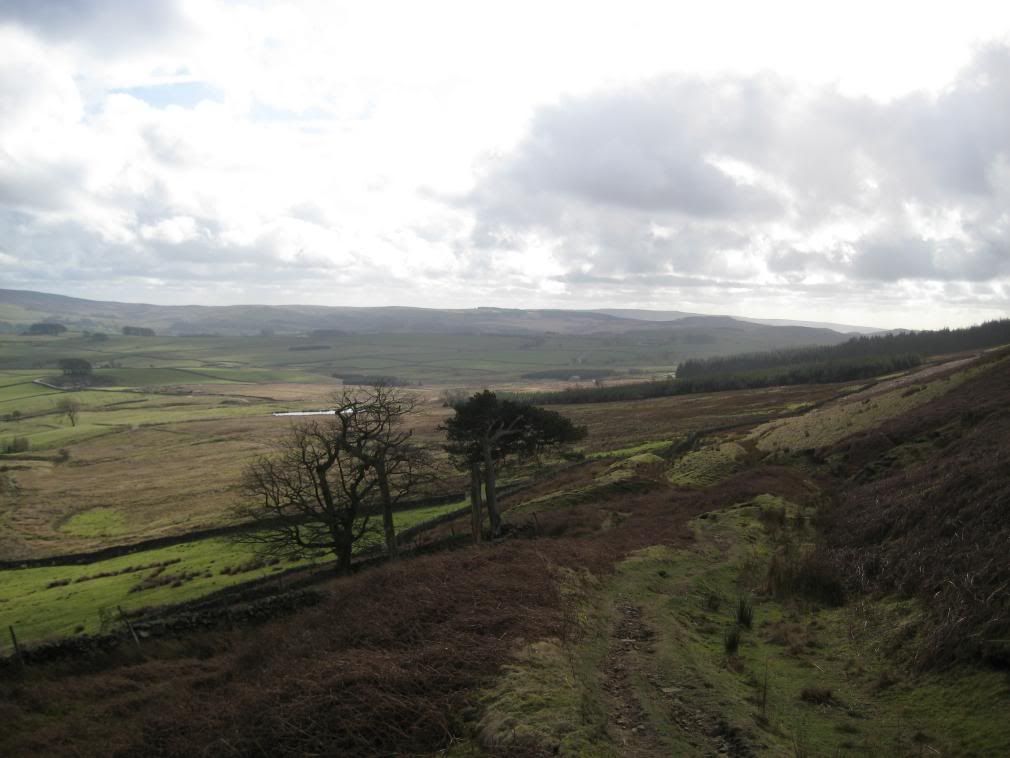
I had forgotten my Lipsyl so popped into the garage to see if they had any (unlikely), and ended up with a chocolate bar, being told by the owner “do you want your 2p change?” – more a statement of fact than a question! They didn’t have any in the village store either, but I survived the day. I finally got going and crossed the bridge only to be waylaid by an elderly gentleman who proceeded to tell me all about the forestry felling. Once on my way it was very peaceful, and the road I was walking up to the Trough of Bowland was closed for road repairs. It had fine views of the surrounding fells, and was very atmospheric with low clouds scudding across the landscape, with occasional glimpses of blue sky.
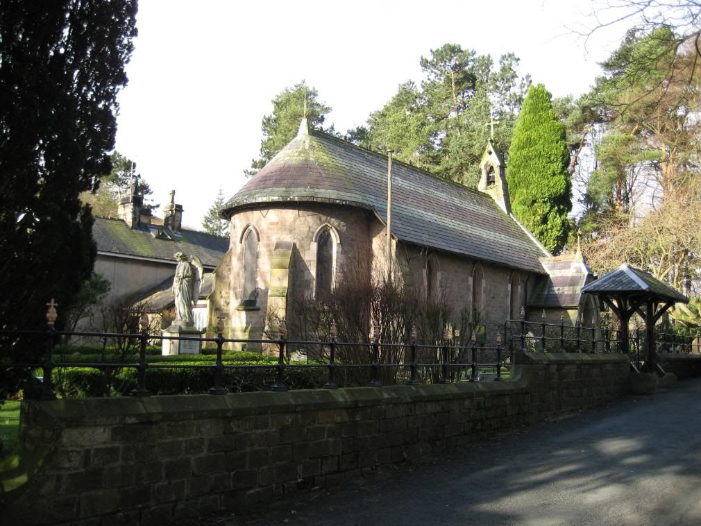
The local church
A lot of the land around the fells is owned by the Duchy of Lancaster estate, and is kept in good condition. The local church was very neat, and I asked how old it was but the woman tending a grave didn’t know. But she told me it was built by the owner of a
Hareden Fell to the left, Blaze Moss to the right
Holdron Moss
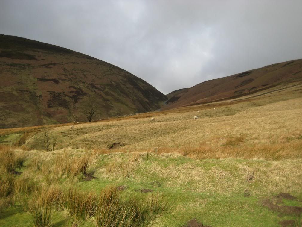
Langden Brook to the left and The Trough of Bowland to the right
The new wire cables at the road edge to stop cars falling into the valley provided a good seat. There was a Mountain Rescue Post in a small cottage I passed. Quite reassuring for people walking up on the higher fells as there aren’t many access roads around.
I saw a lot of birds flying around today, a sure indicator that the area is sparsely populated. A long list includes – Heron, Blackbird, Thrush, Treecreeper, lots of Tits, Goldfinch, Chaffinch, Robin, Wren, Wagtails, Dipper, Mallards, Lapwing, Oyster Catcher, Grouse, Pheasant, Kestrel, Peregrine Falcon, Raven, Crows and a few more I didn’t recognise. Large flocks were flitting in and out of barns to feed on whatever seed was in them. It made for an interesting ramble, and I think that is what slows me up. I don’t break any records for ground covered per hour.
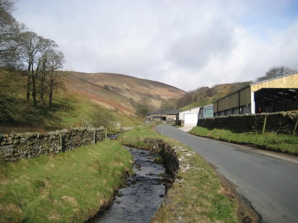
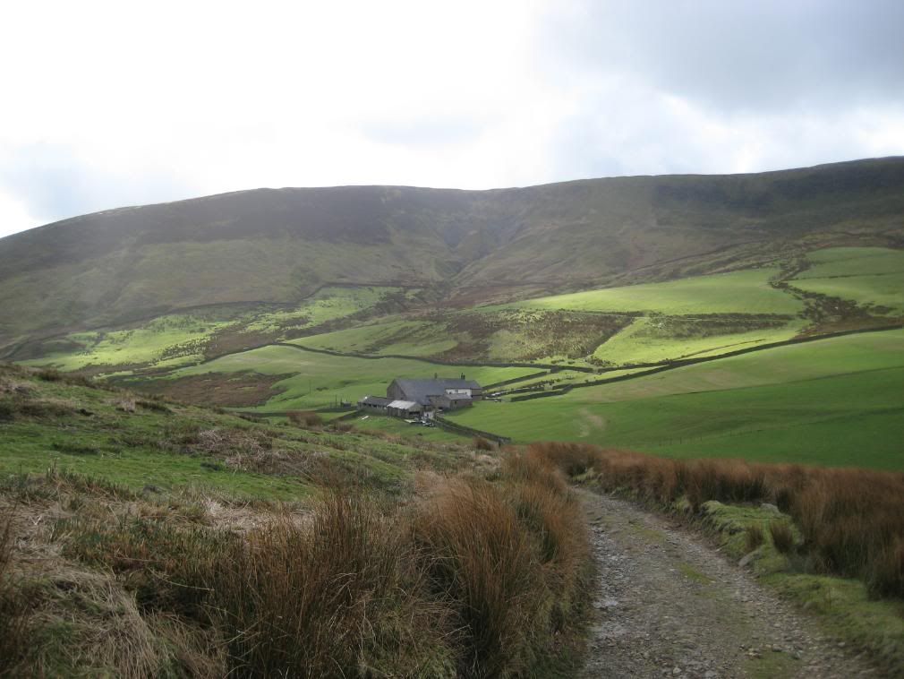
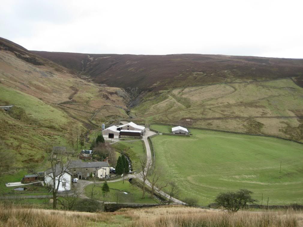
Blaze Moss above the farm at Sykes
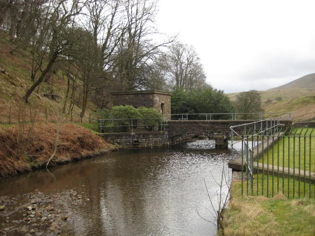
There was a sign here saying “NO BOATING”.
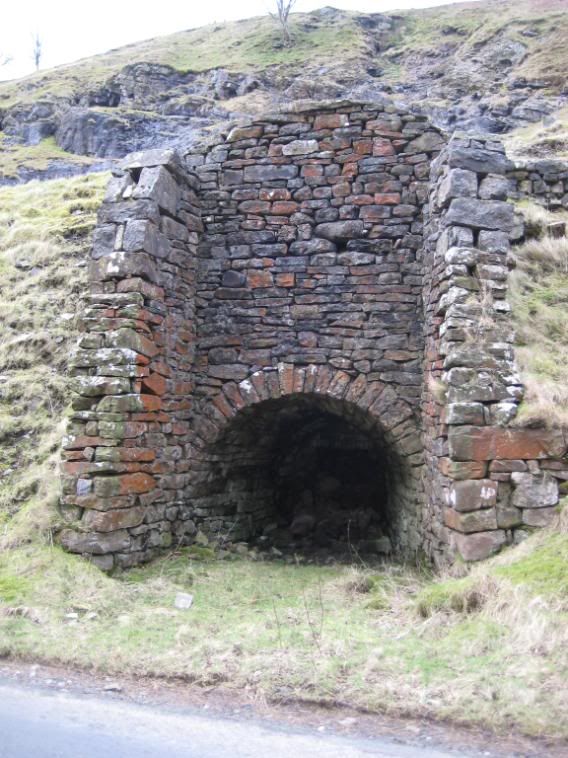
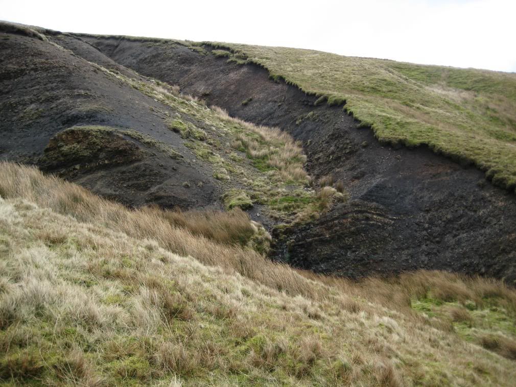
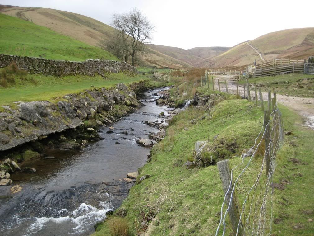
Some of the valley sides have many small landslips and slumps that are mainly due to the Bowland Shales – these are very fissile rocks and split easily. These take place over many years, but you can see the rocks exposed in some areas which will show you how soft these shales are. I made my way up the valley towards Rams Clough, and was passed by a quad bike hurtling along complete with young farmer and a terrier perched on the back - It looked happy. A little further on there were a couple of small limestone quarries and an old limekiln next to the road, which looked in good nick considering its age.
The old Limekiln
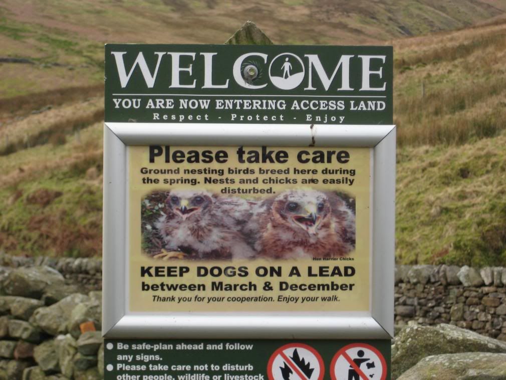
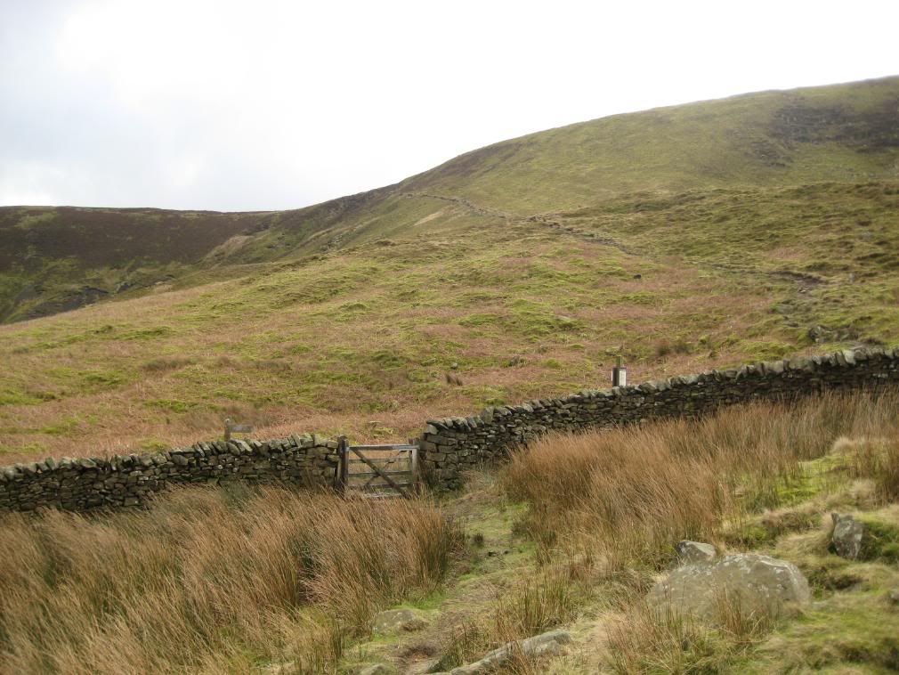
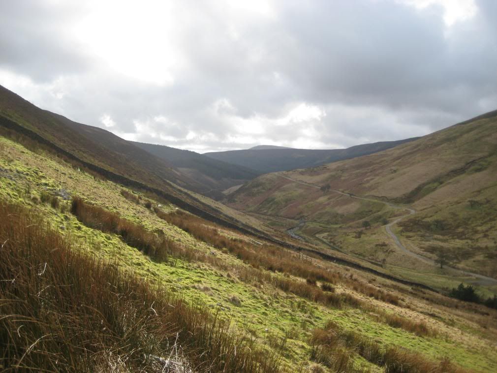
Eventually I reached Rams Clough, the end of 3 miles on the road. I turned up an old farm track, and entered open access land. There are regular sign posts warning you not to disturb ground nesting birds, with a useful map below. It’s nice to know you’re on the right track. The ground ahead consisted of lots of clumps of reeds, which told me it was boggy ahead. The lovely russet colours were a nice contrast to the green grass and moss, against an occasionally blue sky. There were good views back as I gained height, with the snaky road of Bowland Trough winding down the valley. I passed a pheasant enclosure, all fenced in to keep the foxes out. Ironic to think that when they let them out, the pheasants will be thinking “free at last…what’s that banging noise?”
Not so cuddly chicks…
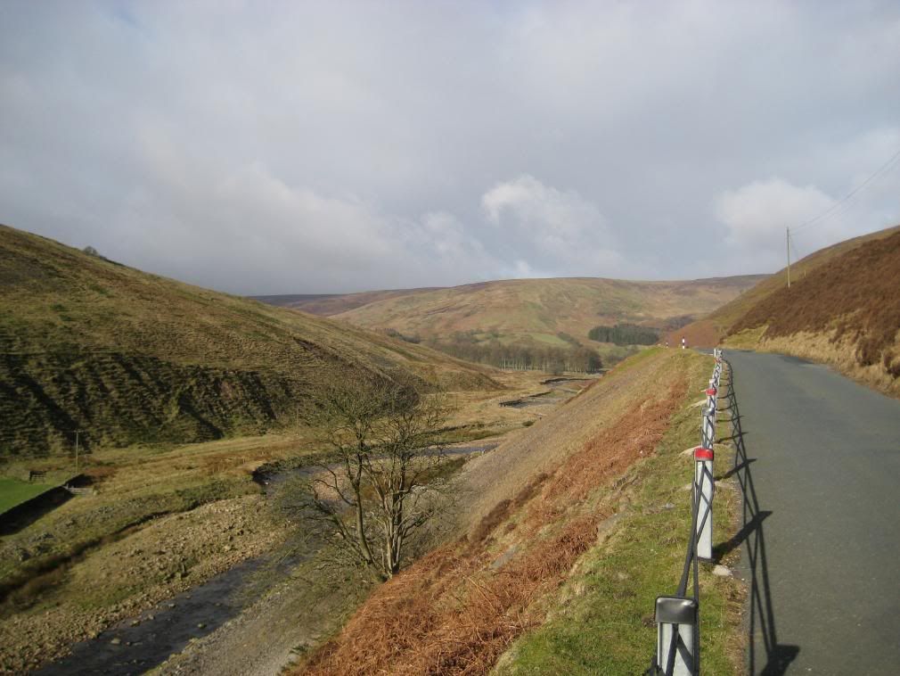
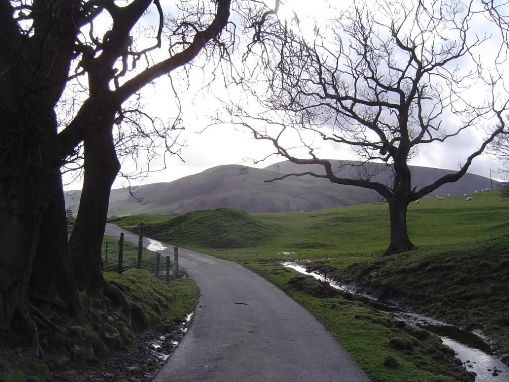
The windy road through the Trough of Bowland
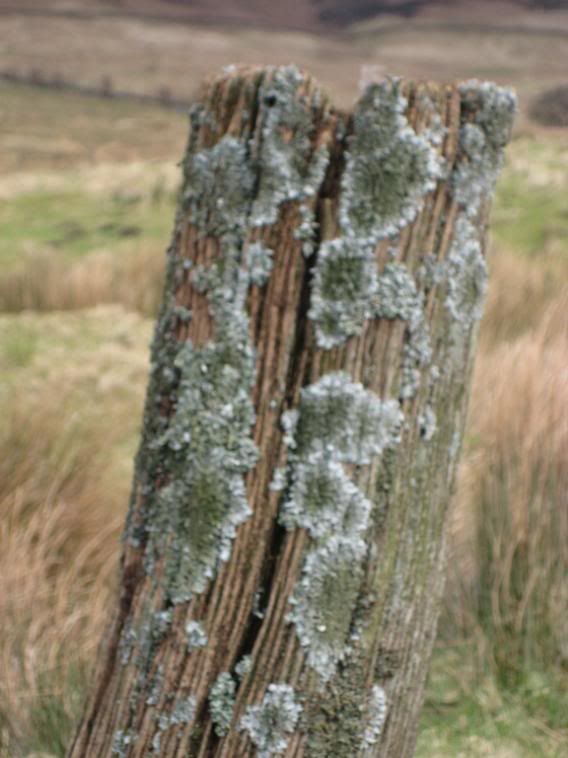
There were more Grouse higher up on the fells, with the pheasants preferring the lower ground with some tree cover for roosting at night. I disturbed several on my way around the Grouse gabbling away, while the Pheasants just squawked and flapped loudly. High overhead there were a few falcons circling, hoping for easy pickings if I got stuck in the bogs. I past a lichen covered post and attempted an arty shot but it turned out a bit blurred, which was a shame. The route up Rams Clough was a steady ascent and not too taxing despite picking my way through the worst of the wet path. The way ahead was clear enough, I past some derelict farm buildings and was then on open boggy pasture. It was very quiet apart from the cold wind and my sweaty head humming along!
My arty shot..
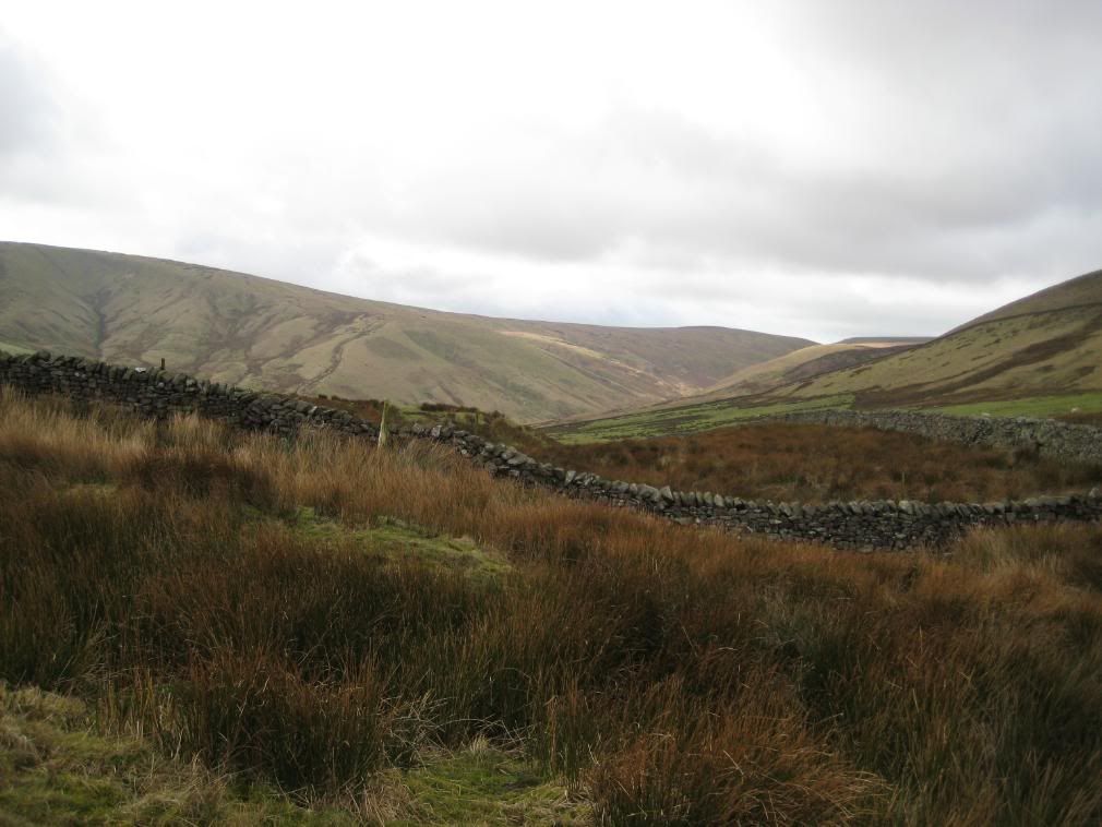
Looking back down Rams Clough, Blaze Moss and Holdron Moss behind
The highest point reached today was 476m up on Whins Brow, which didn’t feel any sort of height compared to my last walk in the
I had a look for some fossils but didn’t find any
The views opened up towards Baxton Fell and further away the
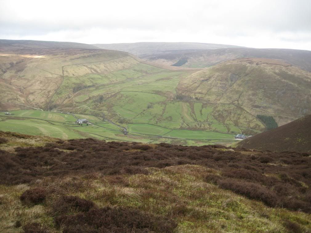
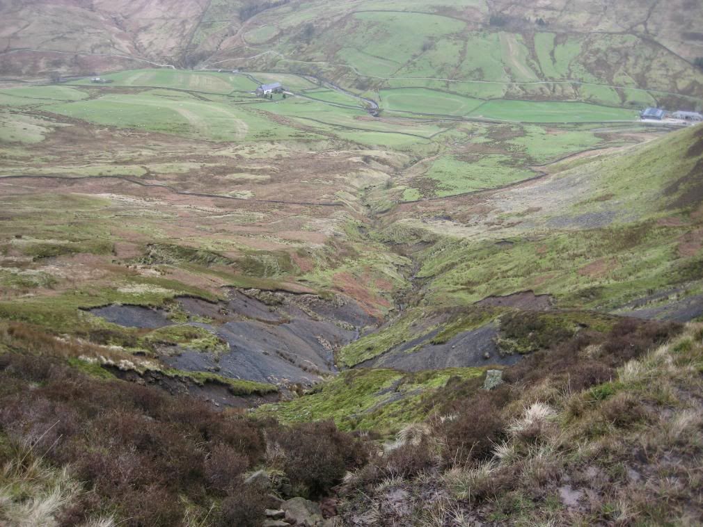
At the crest of Whin Fell the views ahead were impressive, a deep cut valley below, with rounded fells beyond, Middle Knoll prominent between fells. I could see my route ahead, but unfortunately I had to go down a steep path to the valley floor before climbing up once more. But at least that gives plenty of exercise. The descent was down a steep stony path, with landslips away below your feet! I made my way down towards Brennand Farm passing by lots of frog spawn sitting in a stream. Some of the kissing gates were surrounded by water and it was necessary to pick your way around to avoid wet feet. The sheep below at the farm were pretending to be lambs, springing up (or trying to) in the air and generally looking pathetic! Sheep doing bunny hops..rubbish.
Middle Knoll on the right. Brennand Farm below left
Landslip ahoy…move along now
The route comes down from top left
Peace and quiet in the valley
Once past Brennand Farm the route ascends between the fells, initially up a farm track and then out onto very boggy pasture. The reed beds were thick here, but the farmer had cut them down over a large area. So the sport of reed hopping is alive and well. The path stays low in the field towards the shoulder of Middle Knoll. At the crest of the valley the way ahead is clear and you just follow the muddy line across the fields.
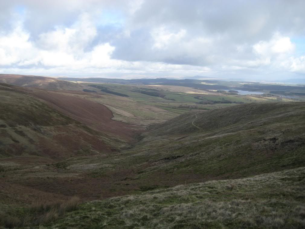
Looking up the Brennand valley, path up to the shooting butts on right
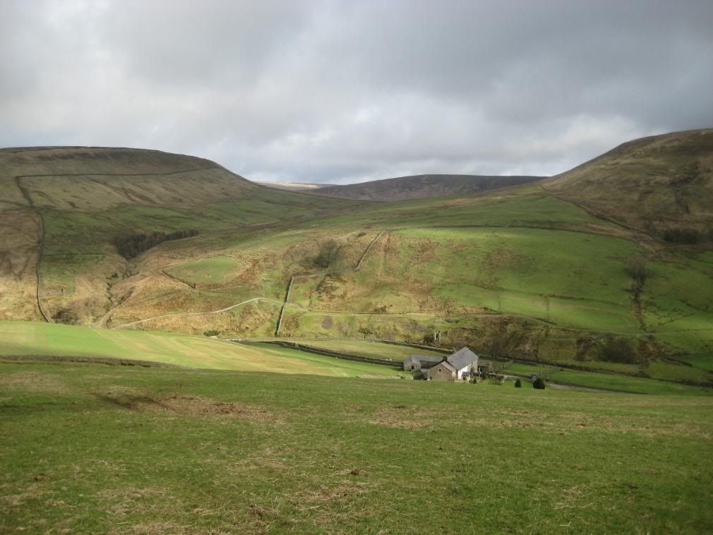
Back to Brennand Farm, with Whin Fell beyond
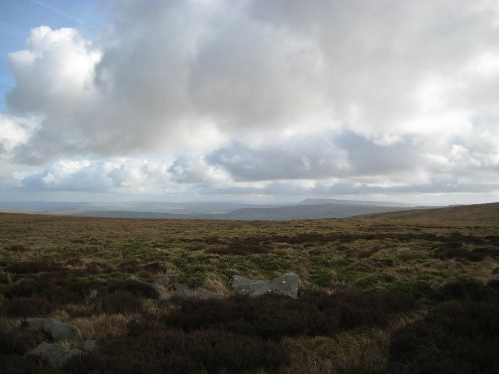
Boggy ground looking back to
Whittendale Farm…not even a Tesco’s here!
Prepare for another steep drop into another peaceful valley at Whittendale. Beware of crumbly shale at the base of the path into the valley, where wet soggy ground is slipping away. The path crosses the river over a wood bridge, through a couple of gates then up past the farm. Dunsop Fell now looms large before you, covered in purple heather…Peat bogs ahead!
Middle Knoll from Whittendale, note the land slips
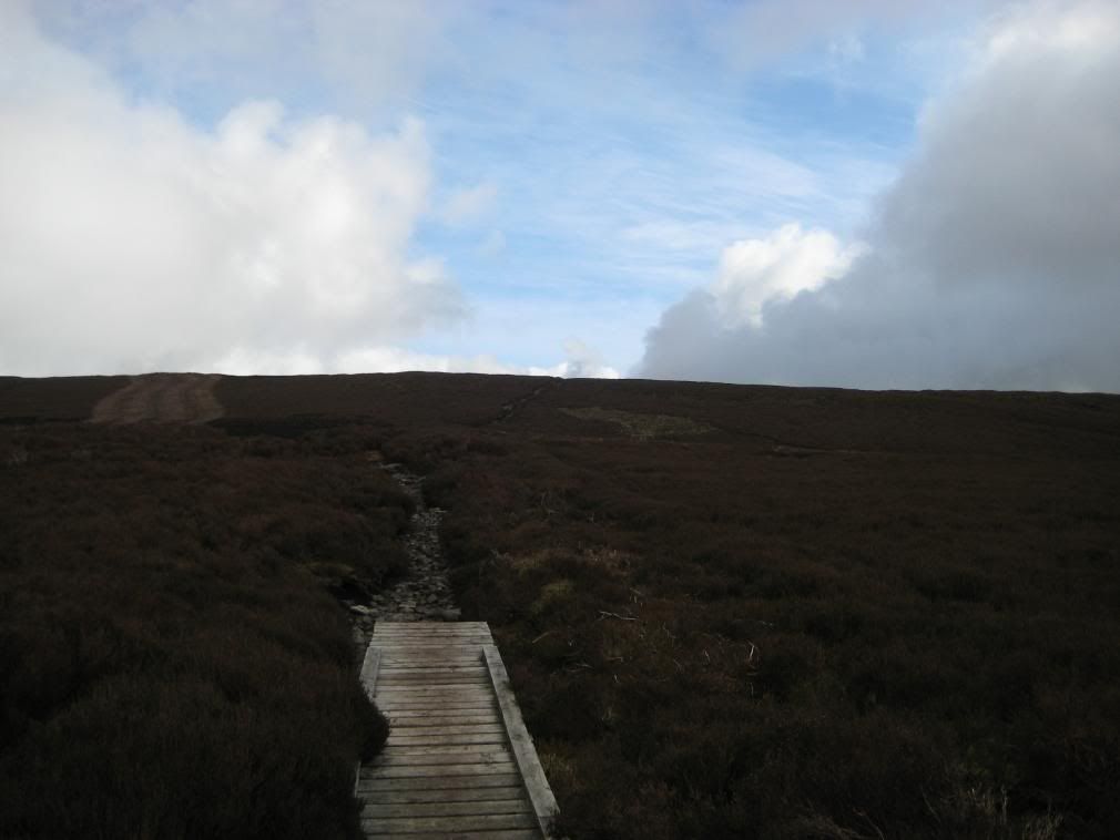
The route from the farm zig-zags up the hill on a stony path at first, then up onto a mixture of Peat and stony Millstone Grit path. The heather here has been burnt off in places to regenerate the Grouse moors. There are already signs of growth from the burnt embers, and lots of Grouse jumping out of the undergrowth. There was patchy blue sky ahead, which looked good against the purple hue of the moor. Further towards the fell-top the soggy, boggy peat became more prevalent with peat hags, and I had to watch my footing. More than once today my gaiters saved me from a soaking.
Up towards Dunston Fell summit
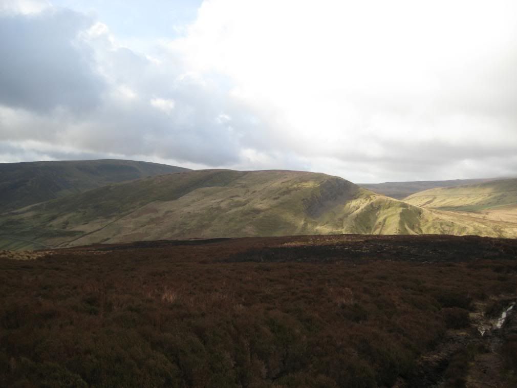
Middle Knoll in the sun beyond the burnt heather
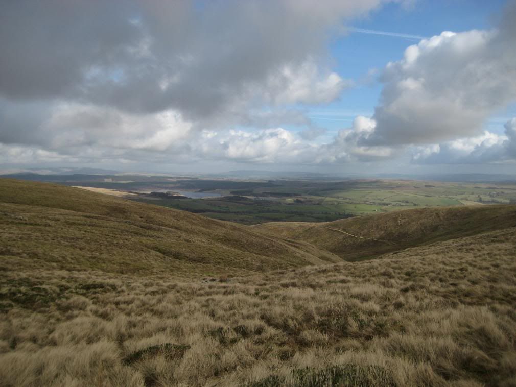
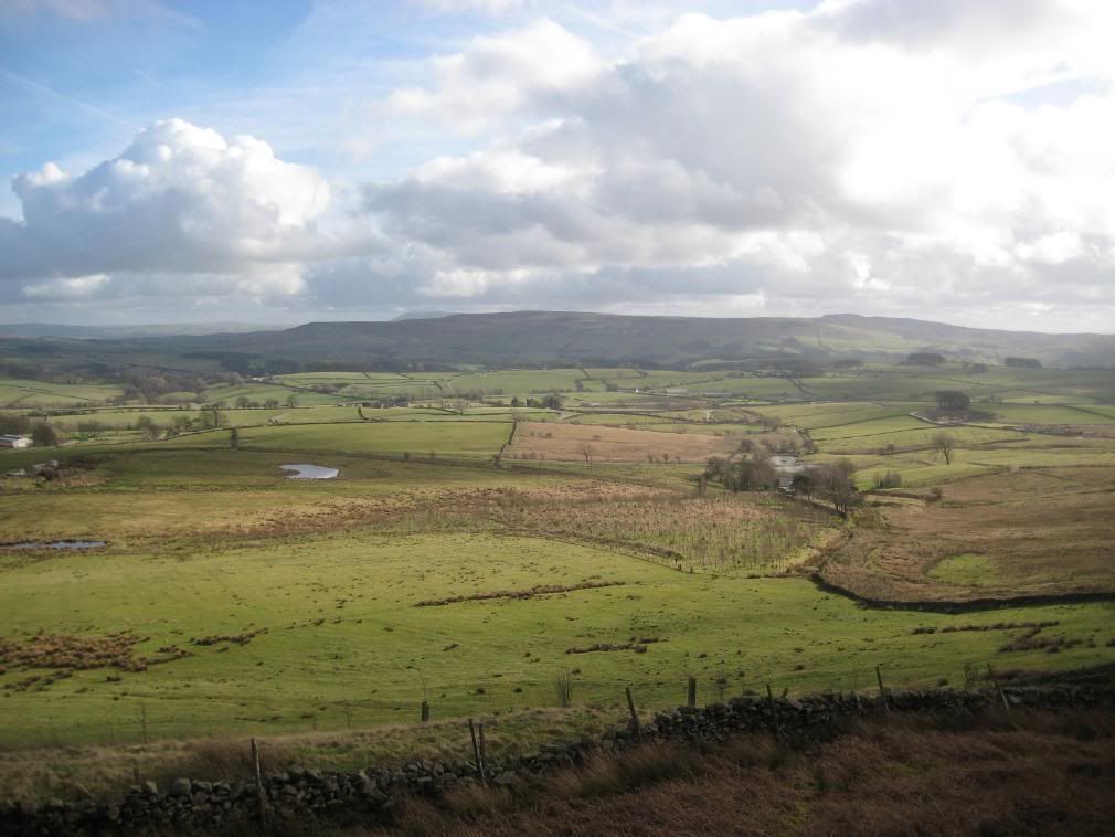
At the crest of Dunsop Fell the whole vista opens up, with big views north to Ingleborough,
Pendle Hill distant right, and the
Ingleborough in distant left side. Stocks reservoir in the centre
It was a cold spot but the views were tremendous – it’s what hills were made for! Lunch today was a bit of an eclectic mix, but tasty. An entrée of Spicy Tomato and Lentil Soup, mixed up with Carrot and Coriander. The main course was a fusion of Chicken Tikka, lightly coated with Piccalilli chutney – sounds horrible, but actually it was ok. Dessert was a crisp Pink Lady apple – lovely. After a good break I continued down across mossy grass which was very wet. The path follows the line of an old leet or a tumbled down wall and follows the contours around a spur of Dunsop Fell.
Follow the spur down to the right of the valley
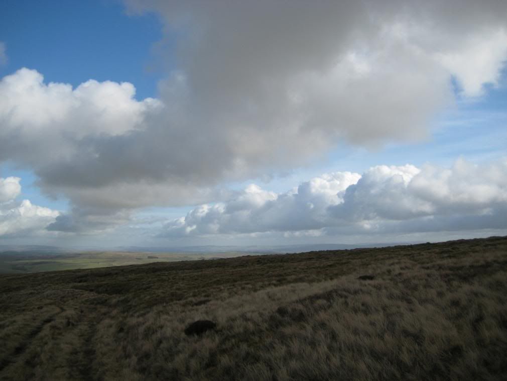
Clouds and blue skies. The path gradually drops down the fell
The route becomes steeper as you turn around the spur to face south east – into the sun for the first time today. The ground levels off as you make your way towards Burnside Farm, but continues to be wet.
The south east side of Dunsop Fell
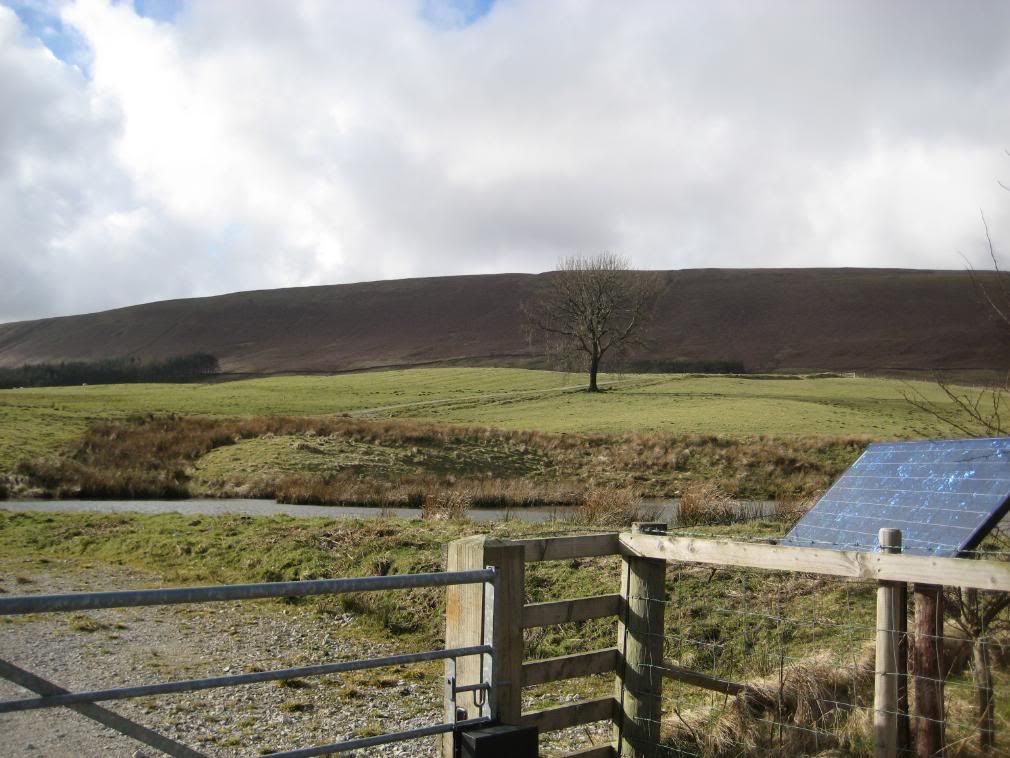
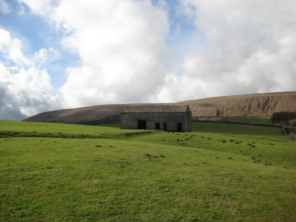
You could walk along the base of the fell and save a diversion to the road, but it looks wet boggy land, and I’m unsure of the access. The gates on this farm all had solar panels to provide power for the automatic gates! - Very posh indeed. So it was down the farm track to the minor road and continued along for a mile until the next footpath. There is a barn in a field that is a good marker for the path towards a farm higher up the fell.
Dunsop Fell – solar panel controls the gate access
The path traverses this field and climbs up to the base of the fell
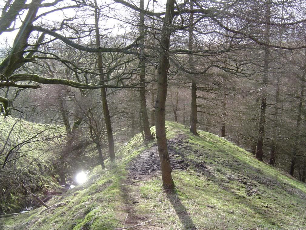
When I got back up to the base of the fell there was a farm track to follow, which made a welcome change to the boggy pasture and fell. The small copses had plenty of birdlife flitting in and out, and the farms all had bird planters outside. The way ahead undulated up and over several small valleys, some wooded which was a pleasant end to a lovely walk.
Totridge in the distance,
Reminiscent of Offa’s Dyke country
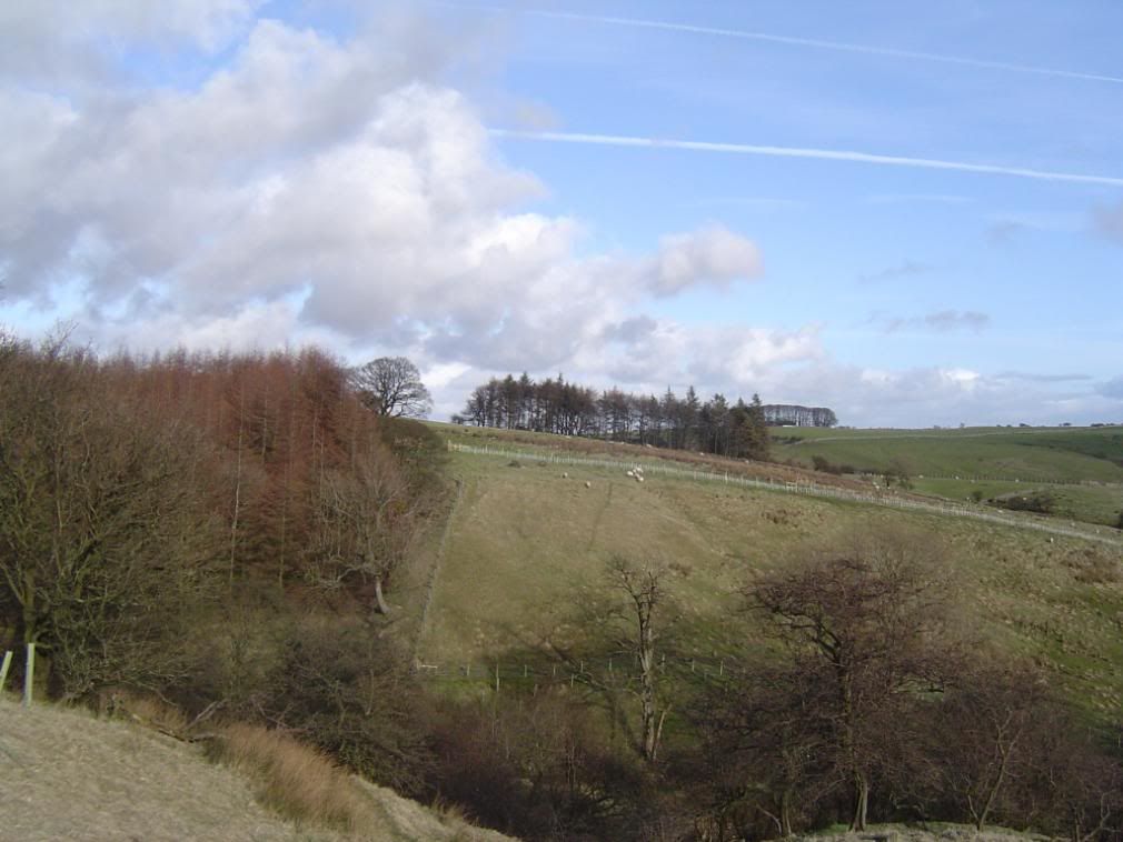
Looking back to undulating countryside – very peaceful
Nearly there – only ½ mile left to go down a lane
Eventually I came over the end of Beatrix Fell and down towards
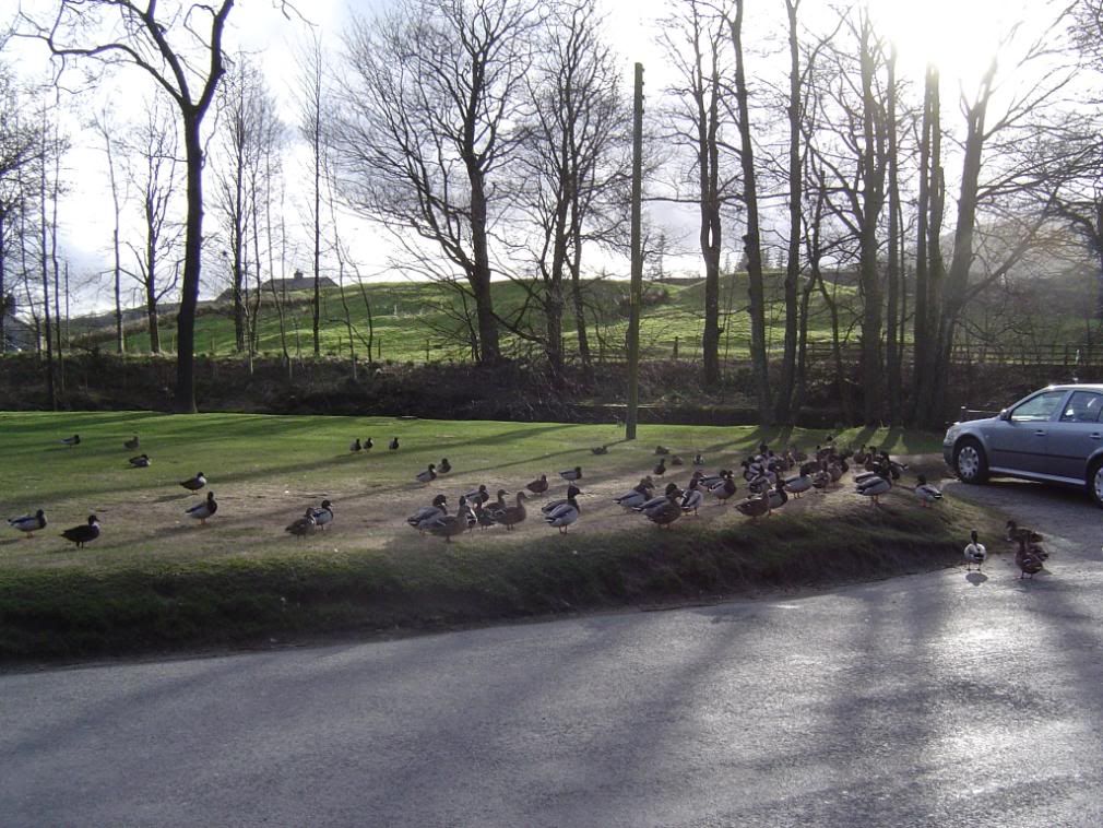
Quack, several times over
I tried out my daughter’s camera today, but the results weren’t that much different from mine, which saves me buying a new one. I’ll just invest in a bigger memory stick. I went and saw the Doctor the next day because I was concerned I was getting obsessed with taking pictures when I was out walking.
He just told me to snap out of it! Walking, it’s good for our souls…


All I can say is thank you for sharing this. I visited this area once about 10 years ago but didn't have my camera with me. It was so nice to see it again.
ReplyDelete