High Spy with my little eye something beginning with C – It’s Castle Crag
2nd May 2008.
Map: Landranger 90
Weather: Rain early, then overcast, cold wind on the top. Later sunshine in the valley.
A circular walk from the base of Cats
Copyright OS-Click on map to enlarge, then hit the back button to return to blog
The BBC forecast was good for the
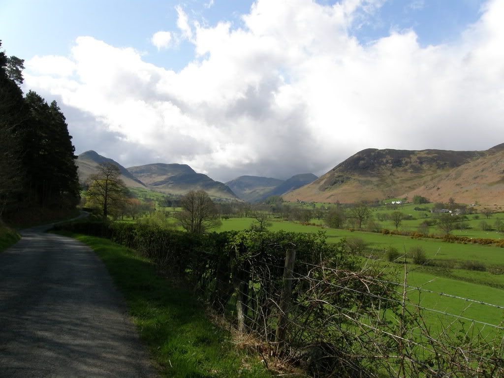
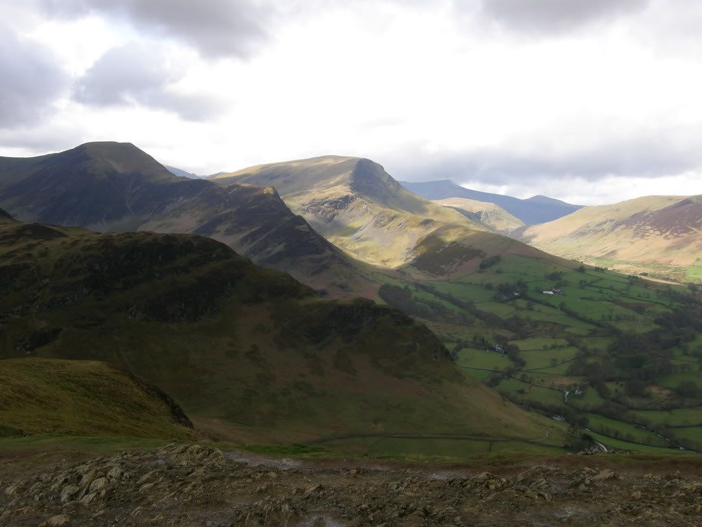
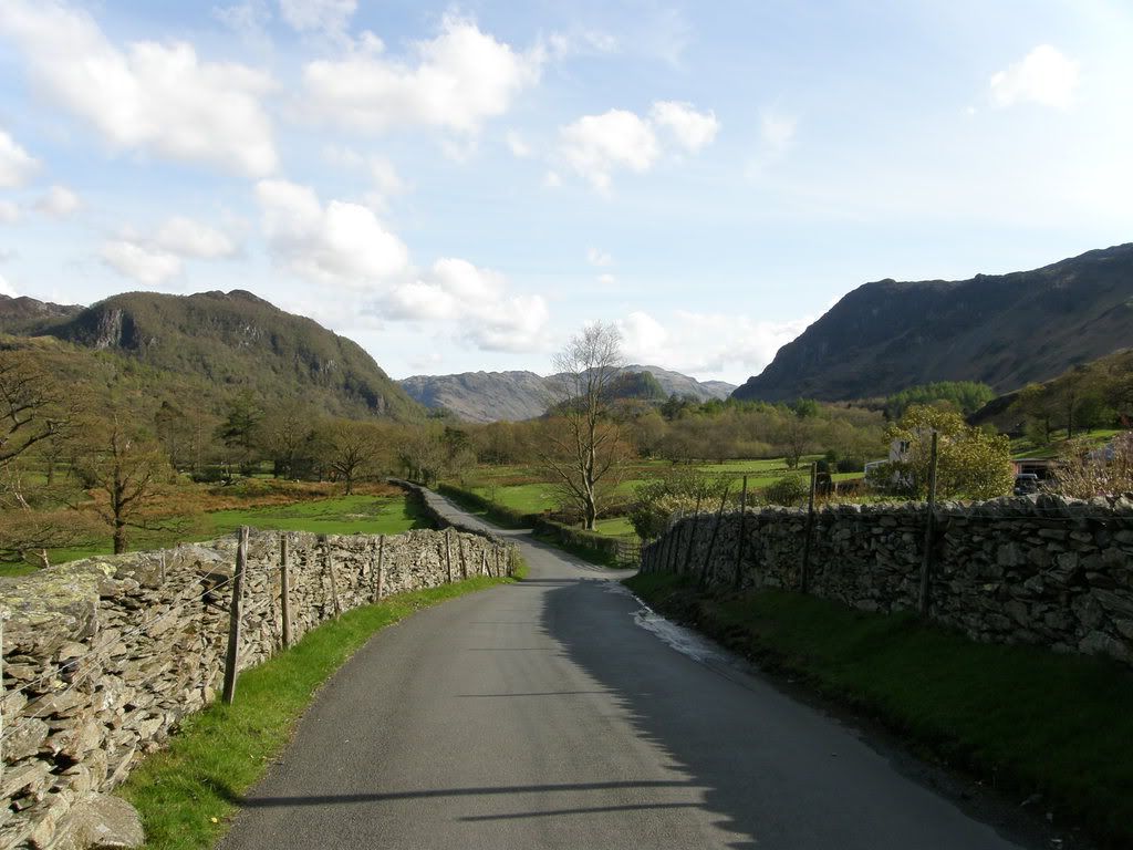
The view from Swinside towards the Derwent Fells
But on the bright side it meant I could test out my new gear – boots, jacket, over-trousers, micro fleece, day sack and last but definitely not least the new camera. Once through Keswick it took sometime to reach a parking spot through the windy roads. As Cat Bells is a very popular spot it is advisable to get here early to be able to park the car. The views around you are impressive even at the start, with the great lump of Blencathra and Skiddaw to the north of Keswick, and the Derwent fells ahead of you. Later in the day some old friends came into view, looming high above the valleys.
The view across the
The walk today starts with the steep climb up the flank of the ridge up towards Cat Bells. There were a fair number of people out and about today, and believe it or not I did pass a few. Mind you, they were stood at a bus stop! The walk up the ridge isn’t too bad and has a well worn route, wide in places. There are some stony shale patches
that could be slippery in the wet, but it is a gentle ascent, with a couple of steeper pitches. You soon find yourself gaining height and the views are good to take in.
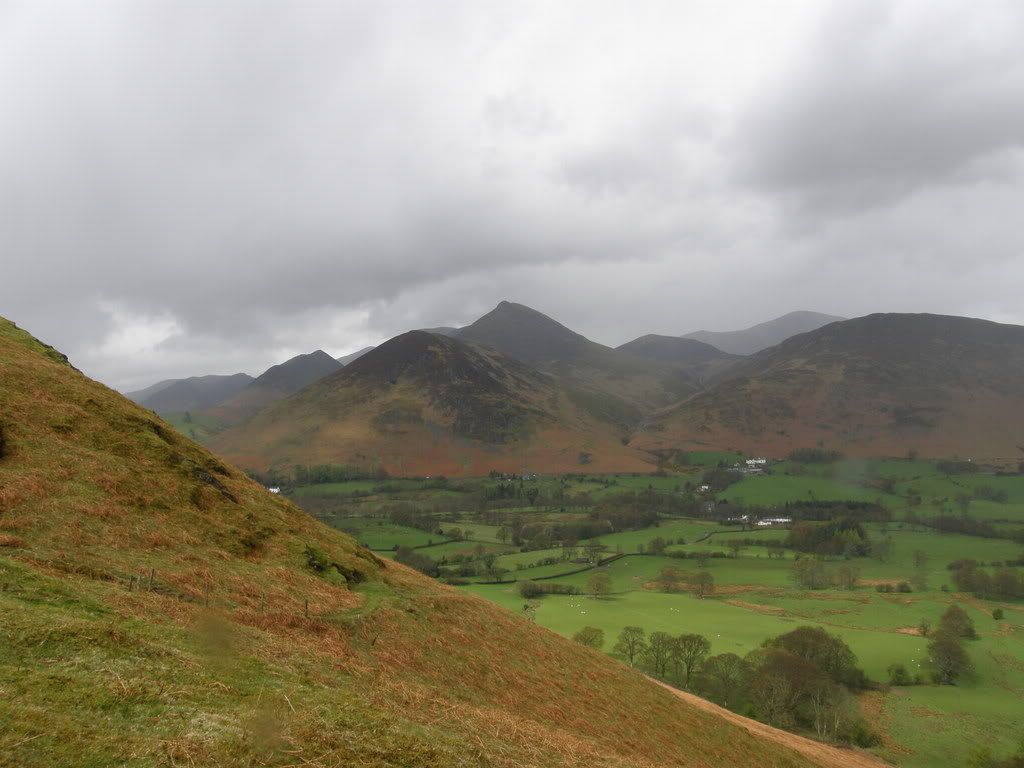
Cat Bells ahead, Castle Crag nestled between hills in the distance
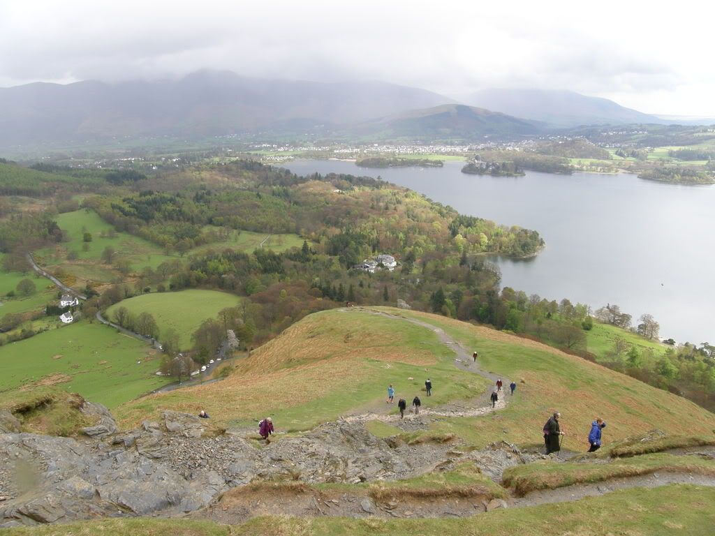
Looking down to the Car Park on the left. What’s it like at the weekend?
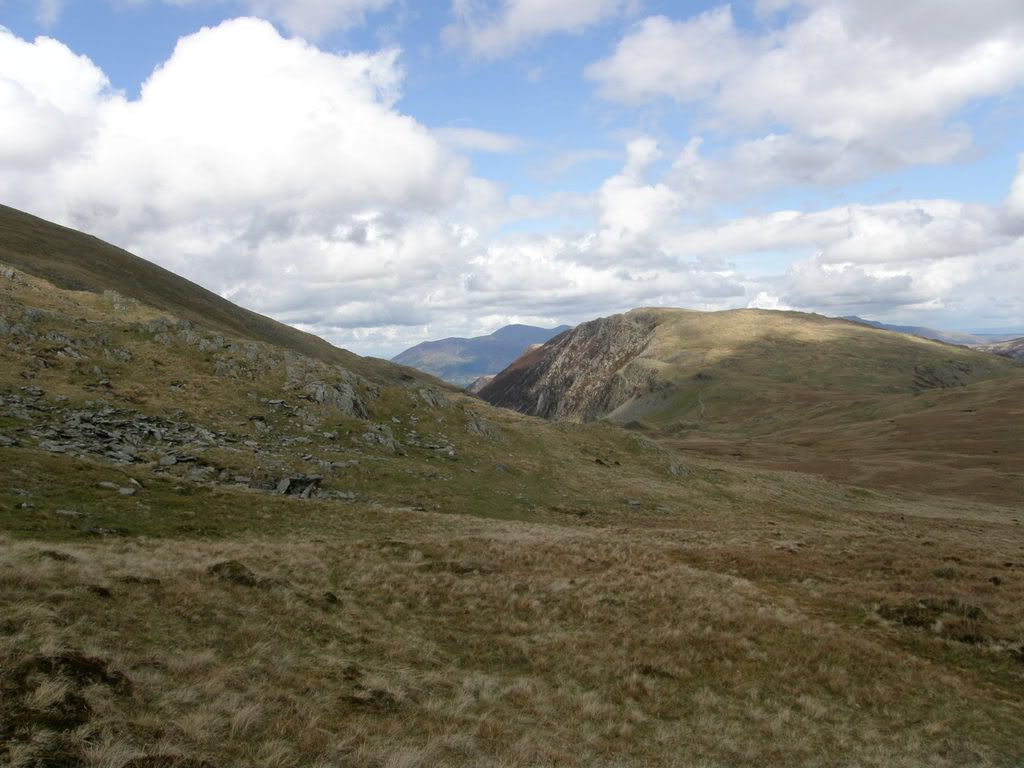
Pretty soon after setting off the rain started, but it was only showers and nothing heavy. It meant fiddling around with my clothing to get the best position for the camera. I eventually just hung it around my neck with hood up and that kept it dry. The paths were well defined up the ridge, all the way up to High Spy. It was only when I descended off the top that they became more indistinct due to less use. The rocks up here consisted of shales that were sloughing away into small splinters. That made for easy walking and dry feet. Looking to the hills and valleys to the south west there are some impressive U-shaped valleys
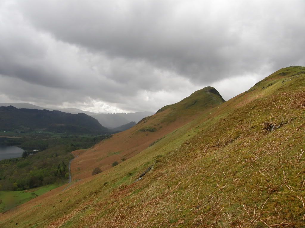
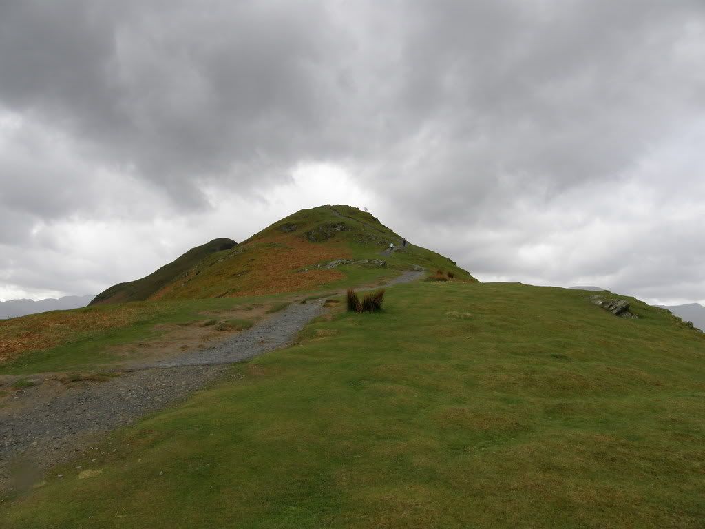
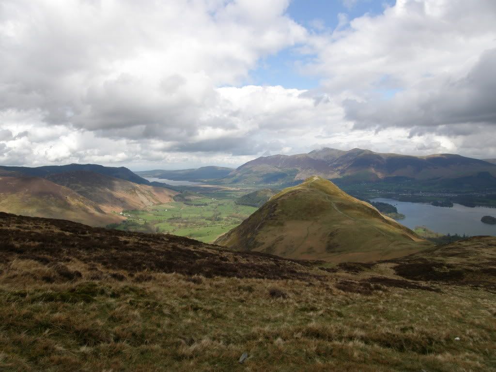
Cat Bells behind the first lump – easy walking here
Blencathra with his head in the clouds beyond Keswick
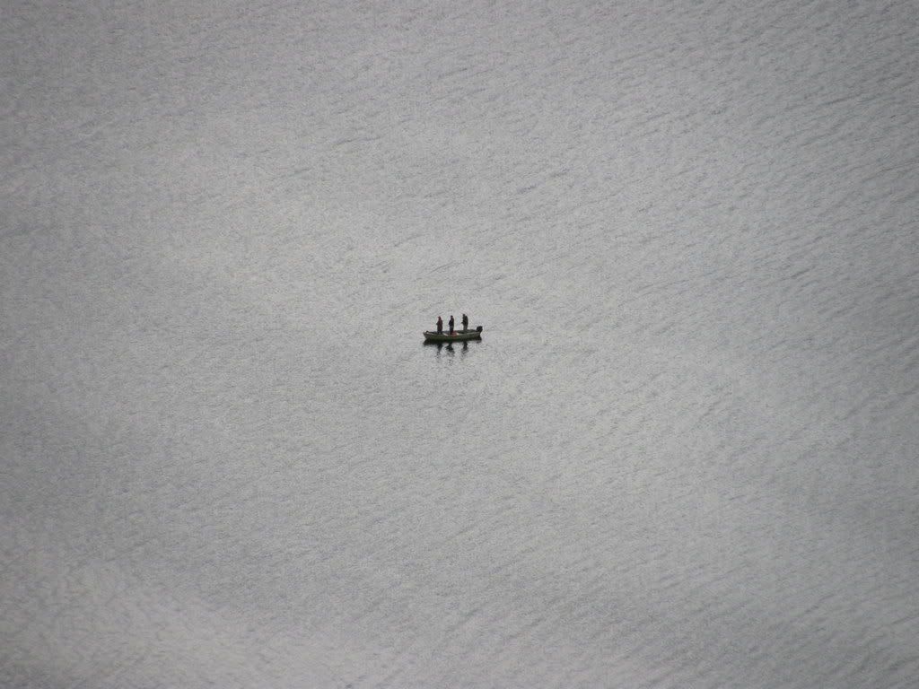
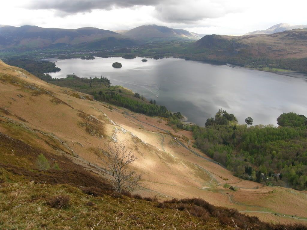
Today was the first walk with my new toy. I had an Olympus OM-1 SLR camera from years ago and it used to take great pictures. So I decided to buy a new one. It is a bit bulkier than a compact but is easily handled and not excessively weighty. It has an 18 x zoom and if you look at the picture above the small dot to the left of the small island is the boat pictured here on maximum zoom. I was quite impressed when I saw it downloaded on the computer.
Three men in a boat – what would happen if one of them caught a monster Pike?
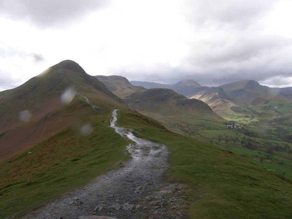
Cat Bells ahead – Robinson in the distance
Robinson on the left, Knott Rigg on the right
That pimple in the distance is Pike of Stickle in the Langdale Pikes
As I came over Cat Bells the views began to open up as I got higher up the ridge. Far to the south west the Langdale Pikes came into view along with some of the big boys – Bowfell and the Scafell Pikes. The Scafell range was impressive from here and looked much bigger than the surrounding neighbours.
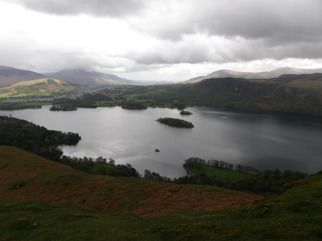
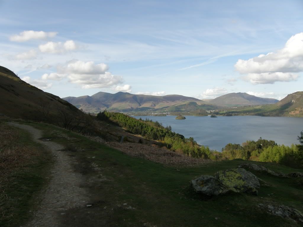
The view over Derwent Water – the route back in the afternoon
Cat Bells, Skiddaw in the distance,
The further along the ridge I walked the surrounding fells closed in and the valleys appeared deeper. It’s a fact of life that to get the best views you will need to walk higher and higher. Today was quite an easy stroll apart from the new boots. I had felt a bit of rubbing, so stopped to carry out some running repairs. I used some gel plasters which will protect your feet if you get any blisters and allow you to carry on without too much discomfort. The highest I reached was High Spy Cairn at 653m, and there was a surprisingly cold wind when I was up on top of the ridge. Despite being early May and some warmth from the sun, the wind chill was enough to drop the temperature way down. I had to don micro-fleece and keep my outer layers fully zipped up. I hadn’t taken my gloves and regretted this when I stopped for lunch. Hence the old adage…be prepared, a timely reminder for me since I will be walking the
Looking west across the Derwent Fells
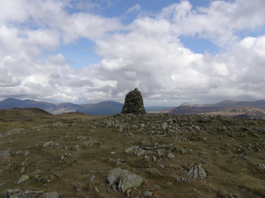
High Spy Cairn – looking north to Skiddaw and Blencathra
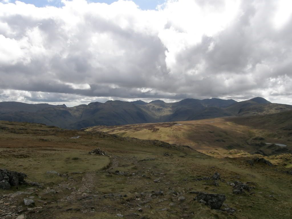
All the big Boys – Pike of Stickle, Bowfell, Esk Pike and the Scafell’s
I stopped for a bite to eat at the cairn, a splendid spot if it’s not too crowded. There are great views all around, I chose to look upon the Scafells and reflect on my walk up Bowfell in February, what a great day. I didn’t bring any soup today as I didn’t think it would be so cold up on the top. I had two bottles of Apple juice, which unfortunately looked like samples for the Doctor. Luckily they didn’t taste the same! I won’t be doing that again. The way ahead now was mostly downhill, which sounds good but sometimes it’s harder on the legs than walking uphill. But that’s just wear and tear for me – knees more than anything else.
Reflections from Eel Crag Crags across the Derwent Fells
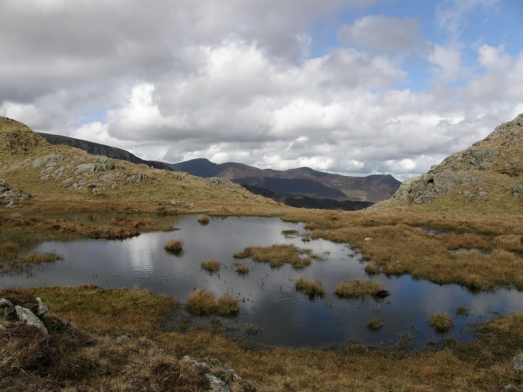
The way ahead is past the tarn to the crest of the hill
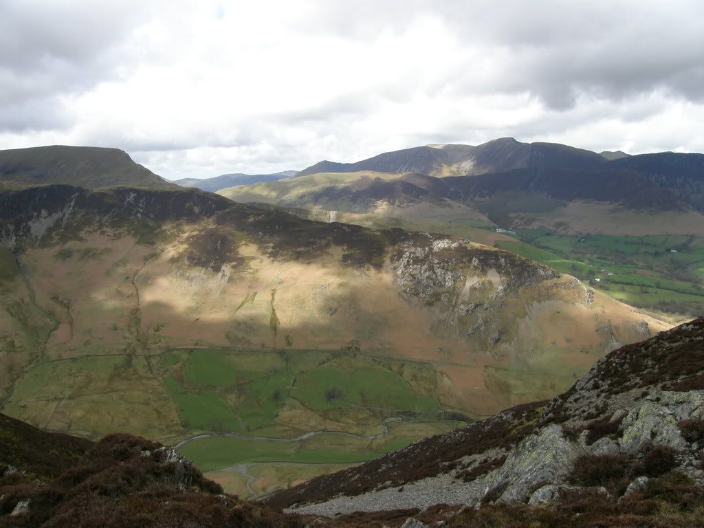
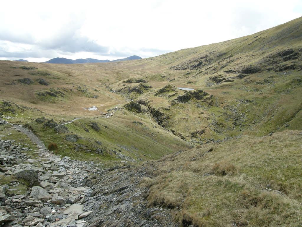
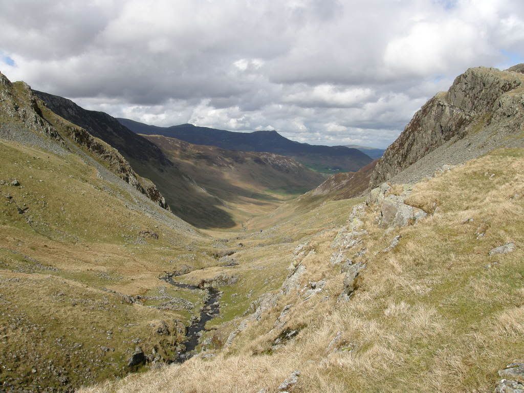
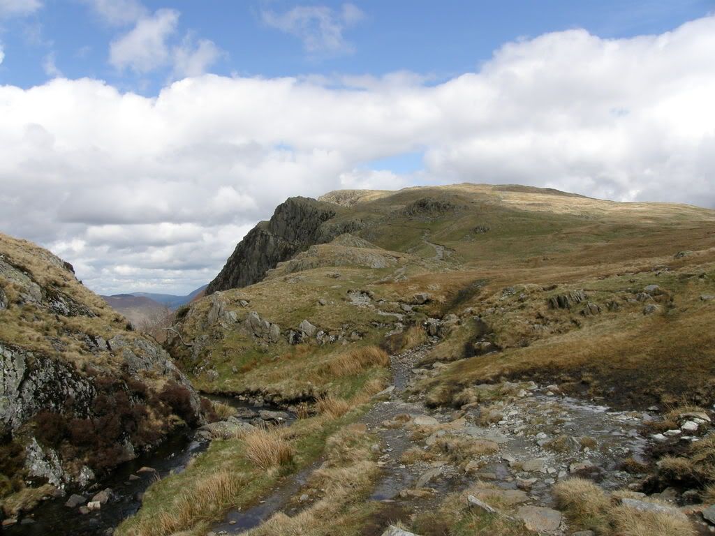
The path down from High Spy is a little rocky in places but is stable enough. I headed for the tarn at the foot of Dale Head and passed a small beck flowing over some falls. Here there was a good view back down the Newland valley. I took a compass bearing to make sure of the route ahead as the path becomes grassy and a little boggy. But even if you wander offline a little, it is no big deal because you will still come out above the
Looking back up towards the route down from High Spy
Nearly at the crest of the hill – High Spy way behind you now
The Scafells ahead,
Once you reach the crest of the hill, the ground slopes steeply away below you down to the
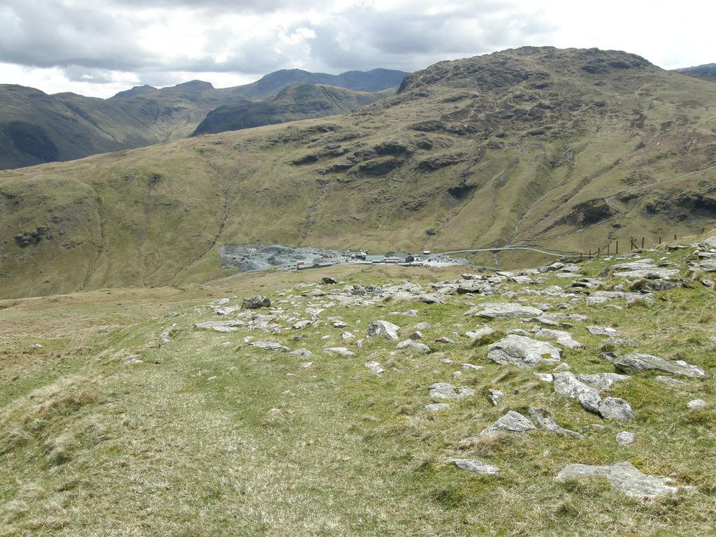
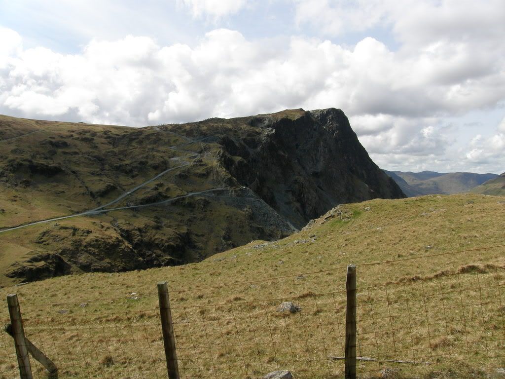
Honister Crag with the roads to the slate works
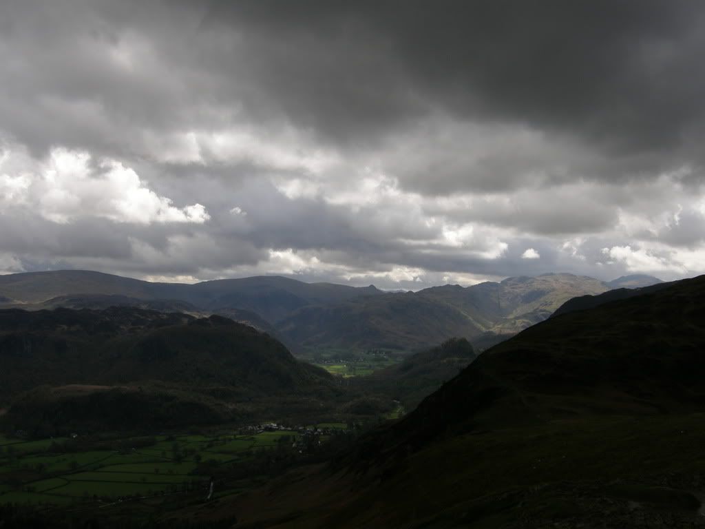
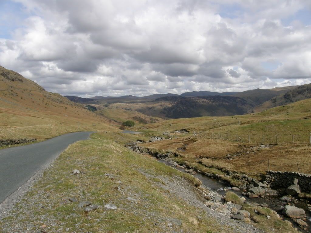
The view down the
High Knott – who built the walls up there?
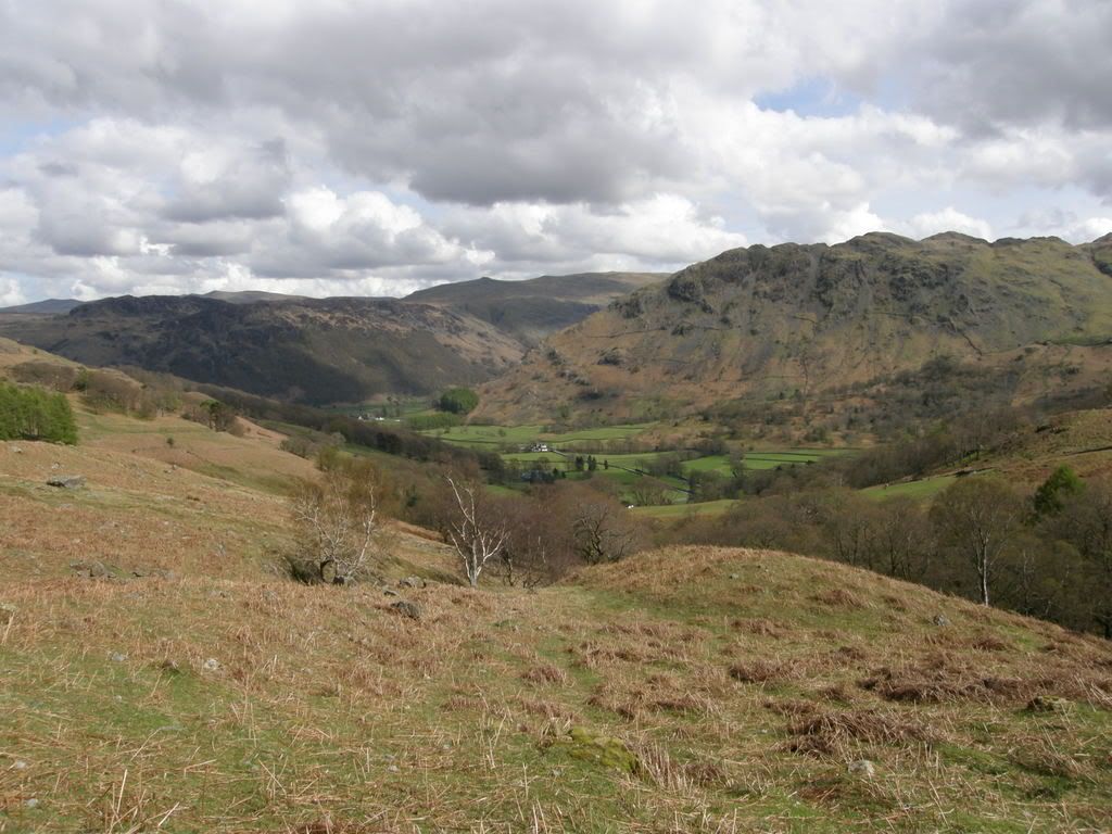
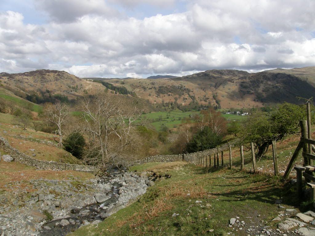
Looking back from Longthwaite to Comb Gill with Stonethwaite on the left
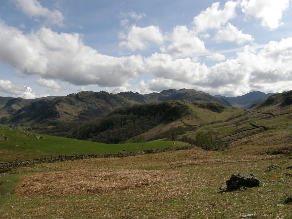
Combe Gill with Glaramara at the head of the valley
Nearly at the crest of the path up next to Longthwaite
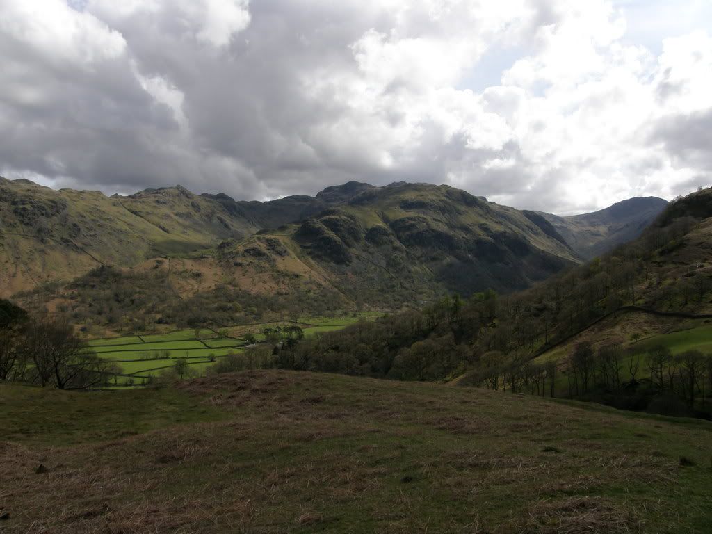
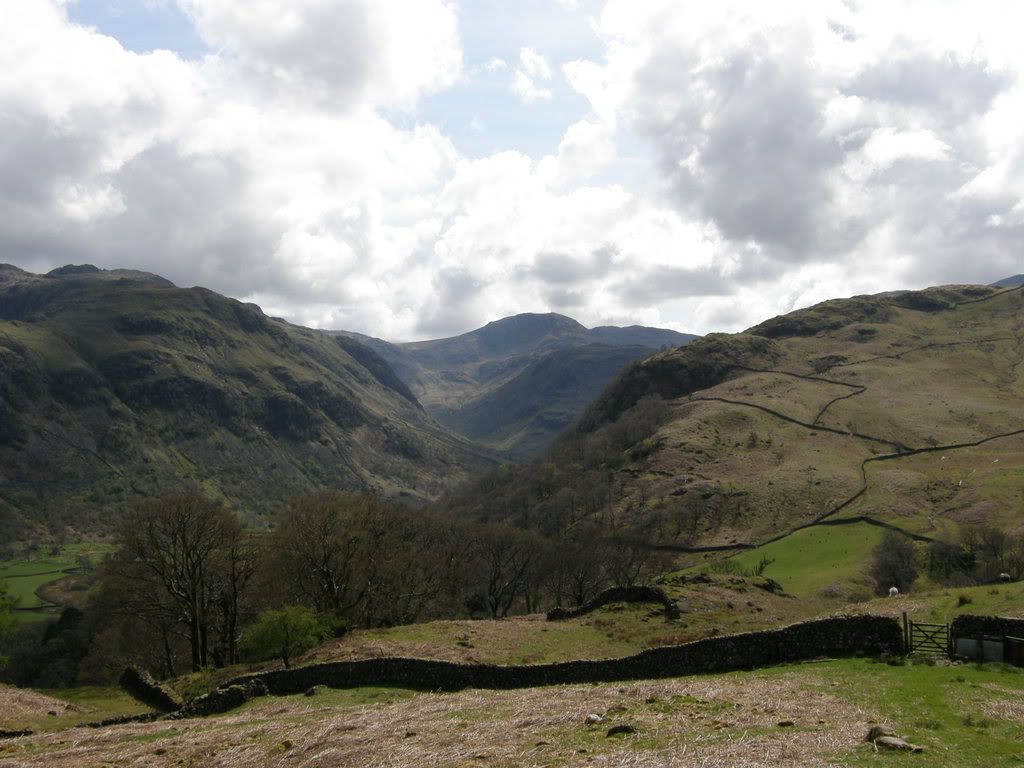
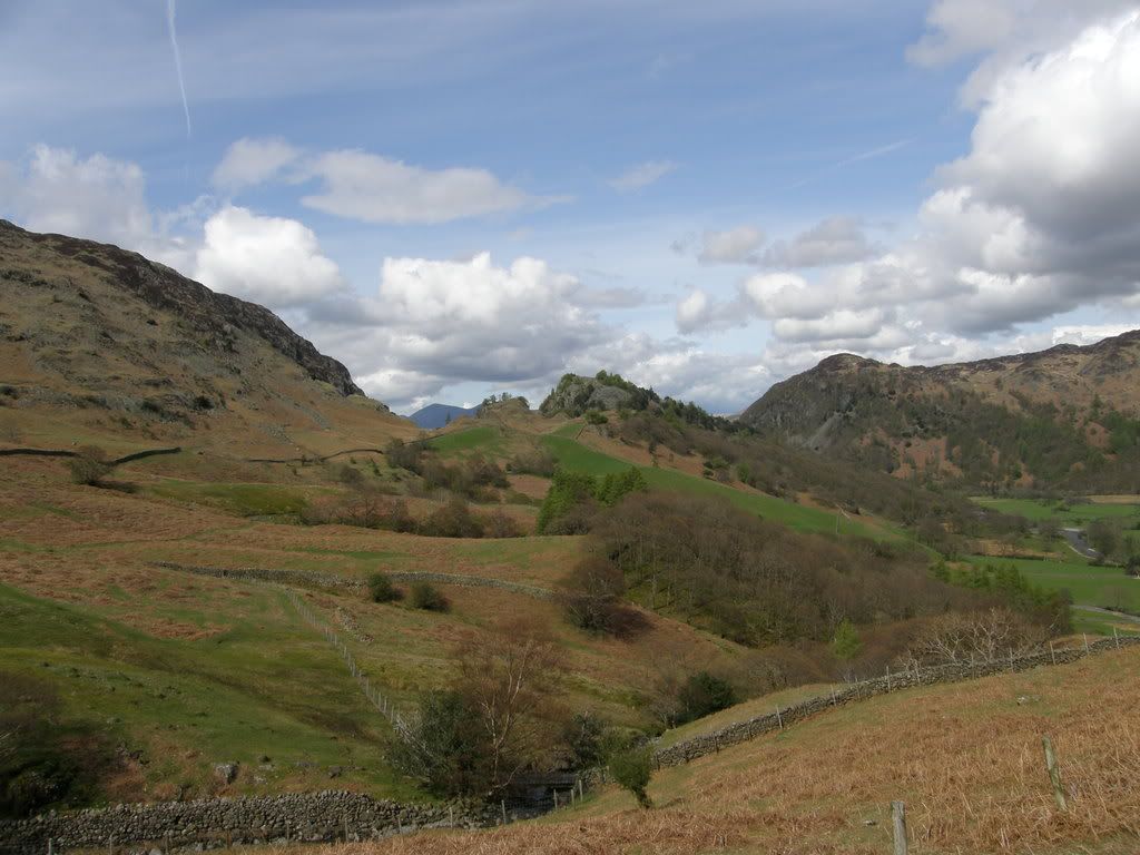
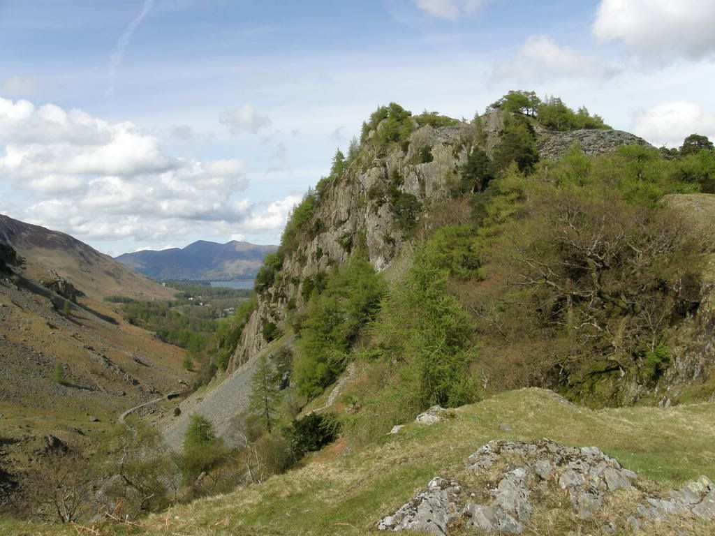
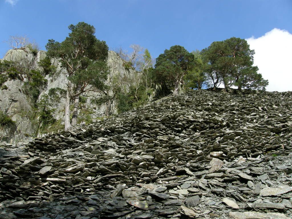
As I approached the top of Longthwaite I was used to seeing the surrounding crags and hilltops, and I had a picture in my minds eye what Castle Crag would look like. But when it came into view it was still such a surprise to see. It is so different from the surrounding fells, not because of its stature or rock formation, but because of its vegetation and tree cover. The old slate workings are in evidence with the large spoil heap below the crag, with the distinct zigzag path up to the top. It doesn’t have a Castle but it deserves one. The path towards Castle Crag winds down from Longthwaite, steeply at first then higher up the slopes. There are quite a few paths towards Castle Crag but the best way is to stay slightly higher, otherwise you could drop right down into the valley and then have to walk all the way back up. The ridge I had walked this morning dominated the skyline to my left all the way now, further across the valley was High Seat beyond Castle Crag.
The first glimpse of Castle Crag
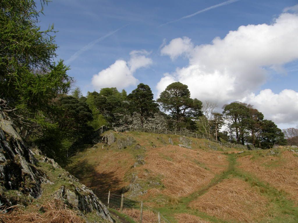
Getting closer – stay up towards the left side
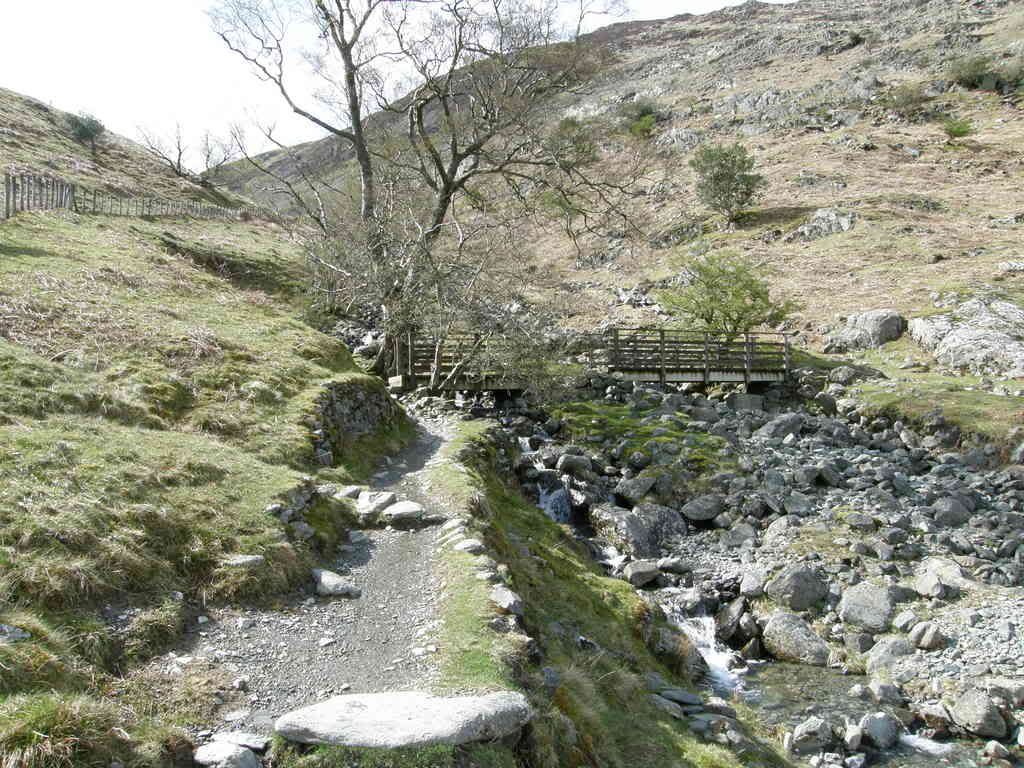
If you go over this footbridge you’re on the right path
Looking across towards Grange Fell and Great Crag, Rosthwaite down below
The retrospective back to Longthwaite and beyond. Glorious in the sunshine
The main route back towards the start down below Castle Crag
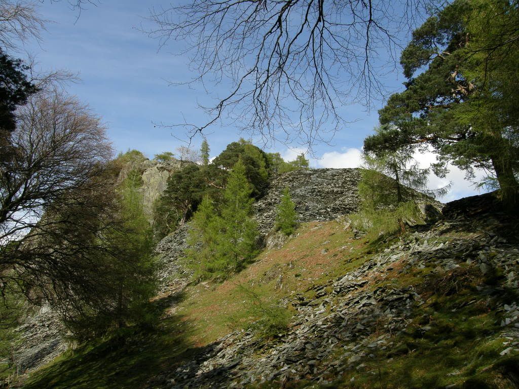
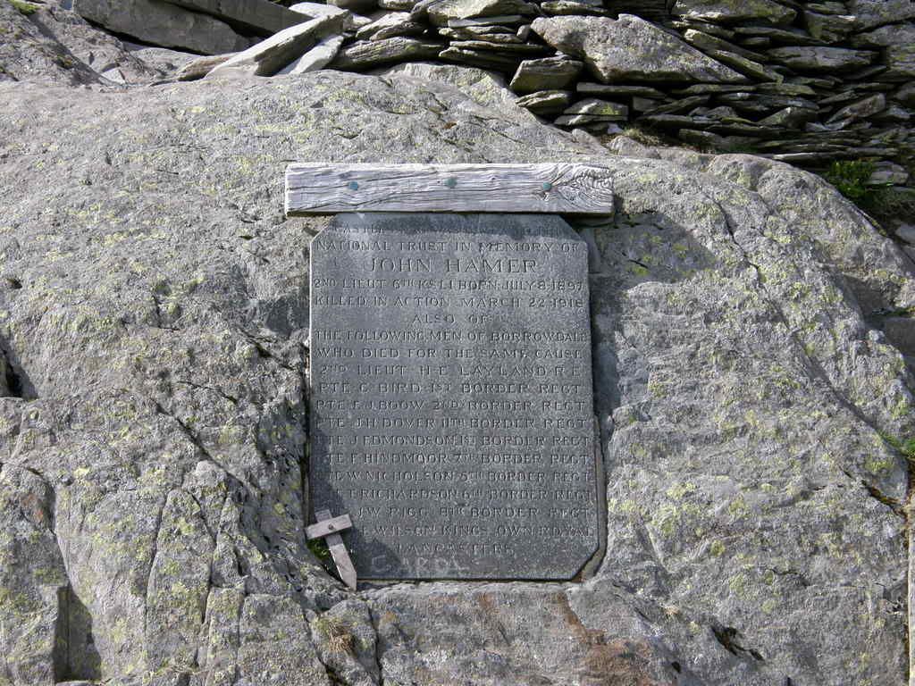
The paths lead up from below and before the screes. The way ahead is not too steep, and the zig-zags are quite stable underfoot, but don’t stray from the path. The old slate works are above the spoil heap and have some interesting looking installations! The actual quarry isn’t very big. On the top is a memorial stone to the men of Borrowdale lost in the 1st World War, a fine location. The views down to Keswick and beyond are lovely and looking back to where you have walked from is equally impressive. The trees below the crag give a look almost oriental in nature, a very peaceful setting and would make a good spot for a picnic. The freshness of the foliage, a splendid lime green in the sun.
The approach to the slate spoil heap
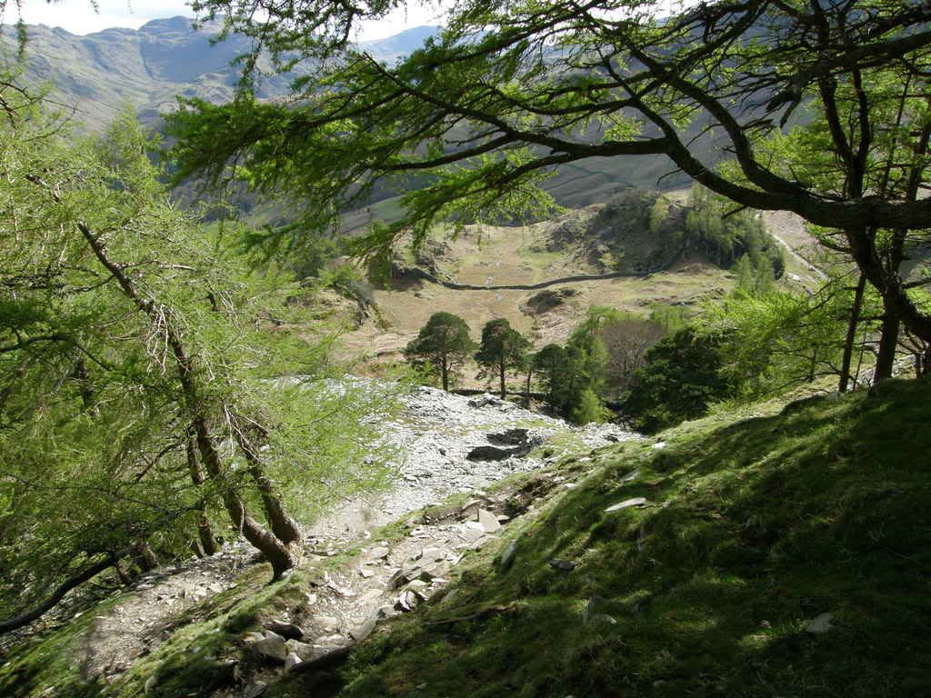
The zigzags ahead
Almost Japanese?
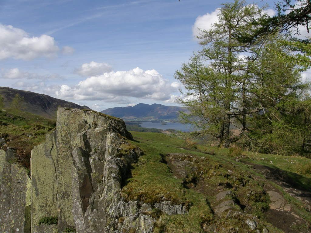
The view from the top towards Derwent Water, Skiddaw in the distance
The memorial stone
Very tranquil at the top
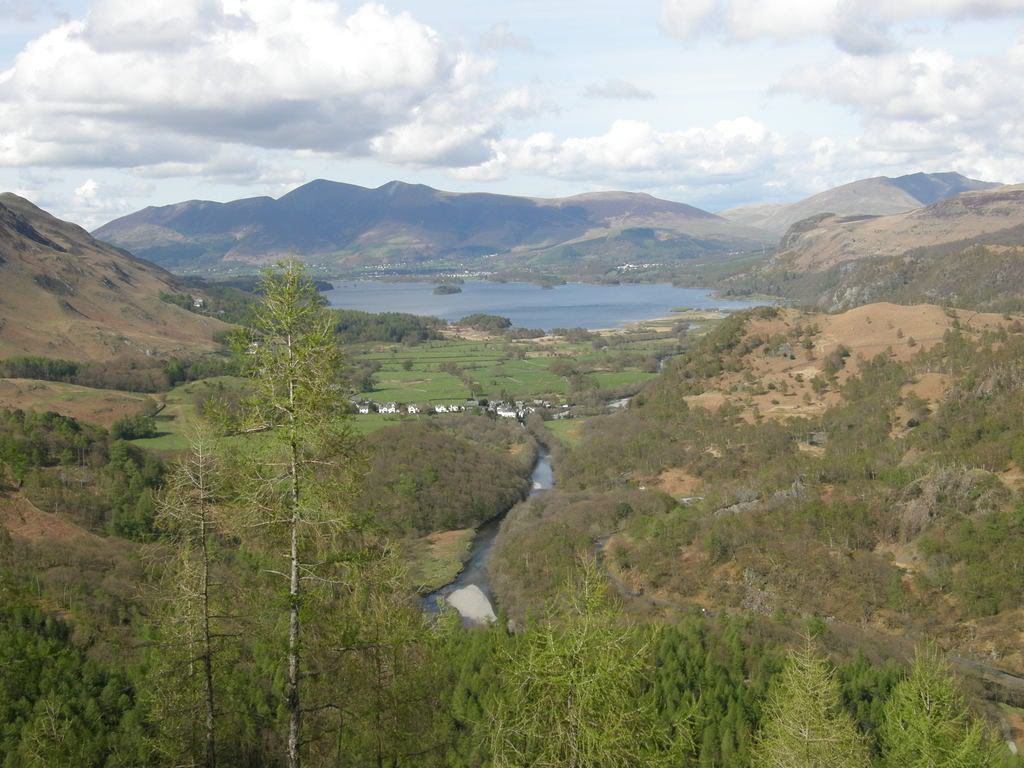
Derwent Water, Skiddaw next to Blencathra
The spoil heap below Castle Crag
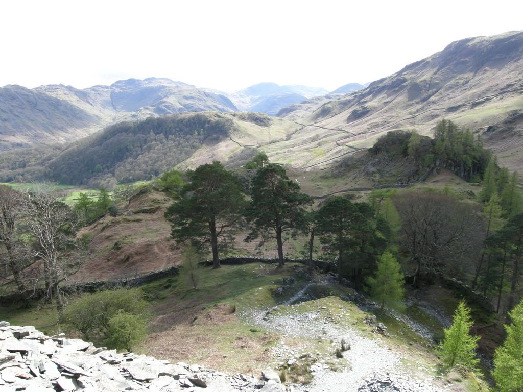
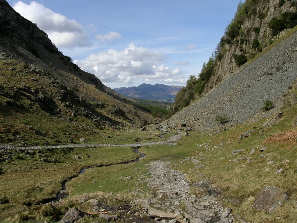
The main path below Castle Crag back towards Derwent Water
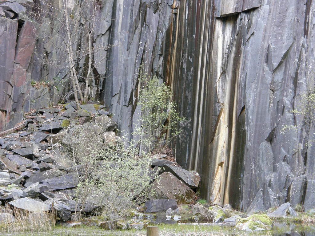
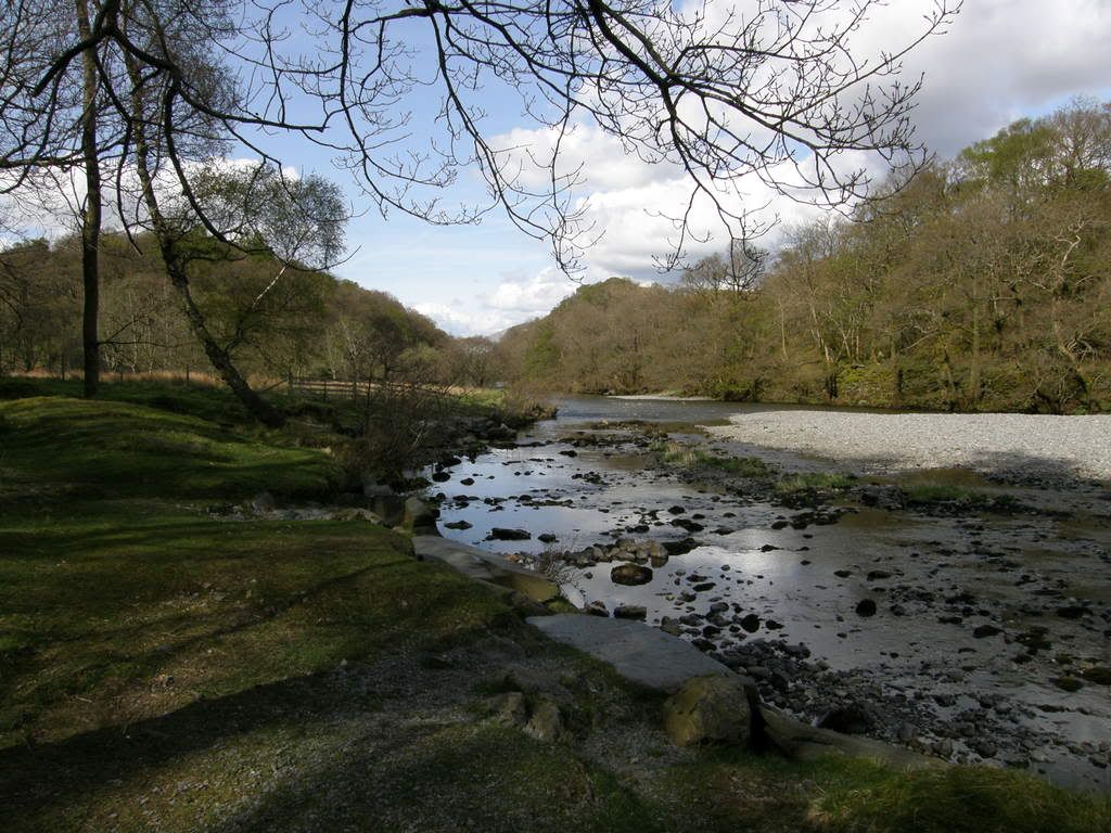
After a nice rest in the sun, I returned down the zigzag path and onto the main path below. It was well maintained with large boulder stepping stones and brings a gentle descent down to the River Derwent. The walk continues along through some woods, passing an interesting quarry, then through a camp site and onto the road to Grange. I stopped here for a very welcome ice cream and wandered slowly through the village, passing the small neat church. There are lots of cottages for rent, which must be busy in the summer as it’s such a lovely area. The remainder of the walk is along the flank of Cat Bells along the Allerdale Ramble. The temperature in the shade of the hill was cool after the afternoon sun.
An interesting quarry face – looks like sweeties to me…mmmm
The River Derwent flowing towards Derwent Water
A last look back – Castle Crag nestled below High Spy
Skiddaw and Blencathra behind Keswick – a couple of miles to ramble
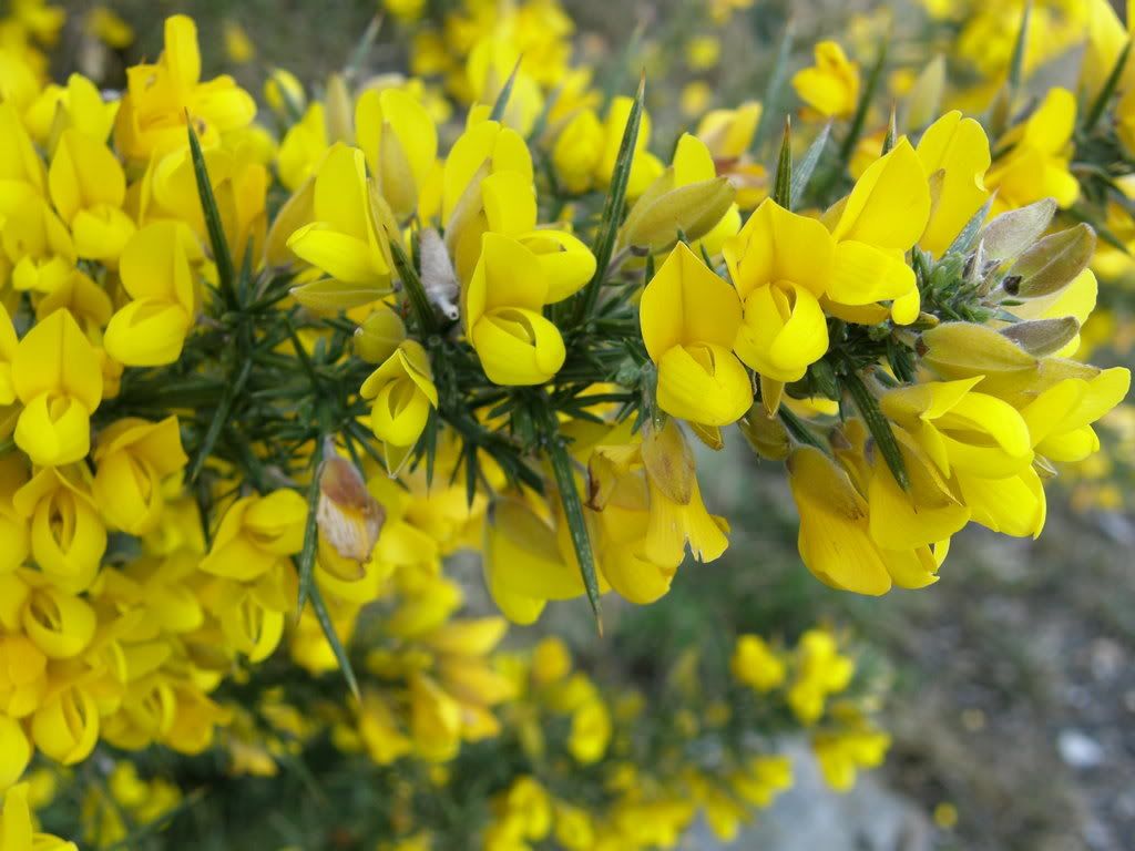
Gorse resplendent in Yellow
The lower slopes had a covering of Gorse in full bloom. It was smelling very sweet on the evening breeze. A fine end to the day, tired legs and slightly sore feet from my new boots. A good prep walk for the WHW, all I need now is fair weather and a following wind.
Walking…get going for the summer…it’s brilliant or as any ventriloquist of worth would say ….it’s Grilliant!!!


No comments:
Post a Comment