Hello High Raise and Helm Crag
21st November 2008.
Map: Landranger 90
Weather: Sunny to start, followed by drizzle, then with stinging sleet and a bit of snow on top, with a bitter northerly wind. But ending up in late afternoon sunshine.
Copyright OS-Click on map to enlarge, then hit the back button to return to blog
From
After a lovely walk earlier in the week I was hopeful of the same, and the weather forecast was favourable. But the law of averages states that into all our lives some rain will fall – rats. I parked up behind the café close to
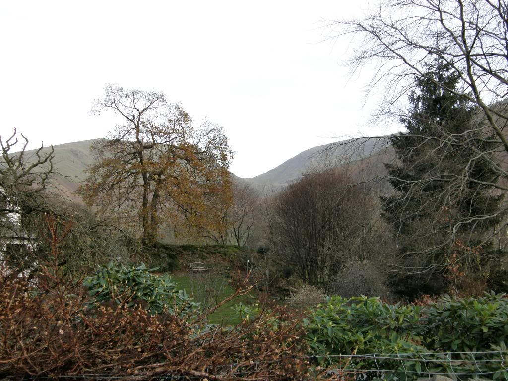
Through the garden to Seat Sandal and Great Rigg
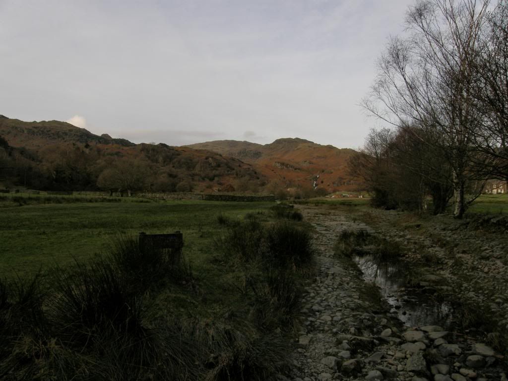
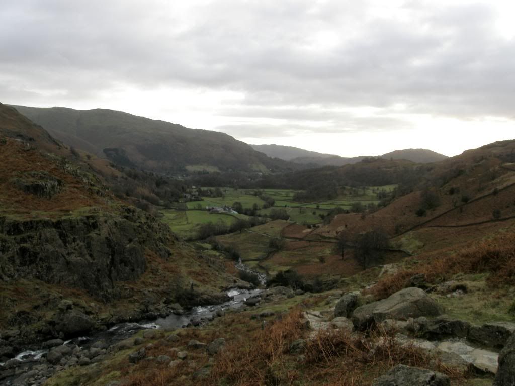
Easedale Beck with Easedale tarn hidden above the beck in the distance
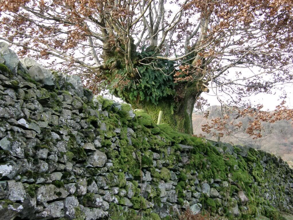
A fern attired beech tree above a mossy wall
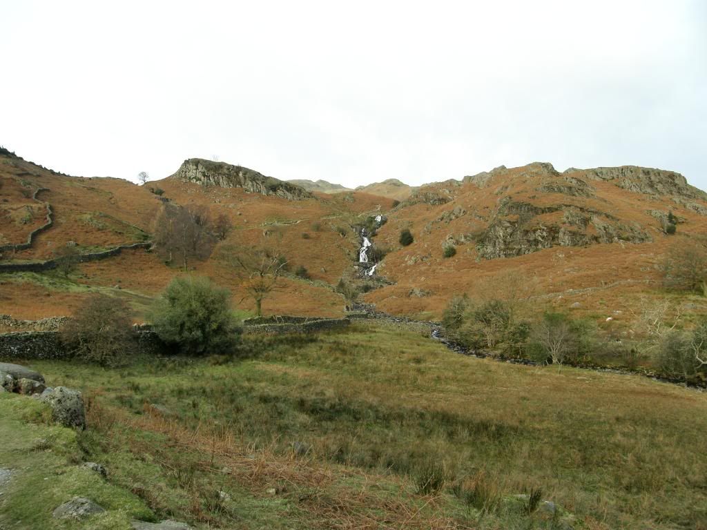
The path ahead gets steeper
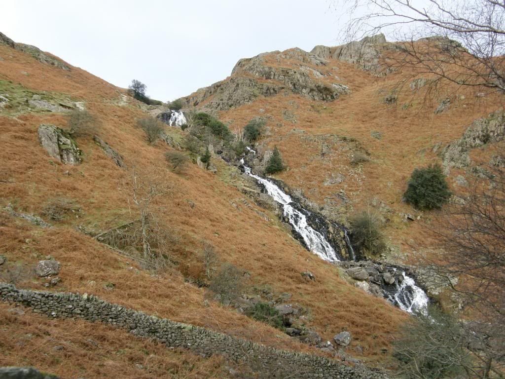
I left the road as I met Easedale Beck, crossed by a stone bridge and then followed an old stony path. It was a little gloomy down in the valley, but peaceful listening to the babbling beck bubbling below – that’s enough b’s for today (although I did mutter rowlocks a couple of times when it got cold later on). The beck here follows an unnaturally straight line, no doubt guided by the farmers over the years. Plenty of the boulders have been used in making up the walling, and I passed by an interesting beech tree that was adorned with ferns growing out and around its trunk. I noticed that there are also a lot of strange shaped enclosures around, probably due to legacies left to the National Trust, while surrounding land remains in private hands. The ascent towards the end of the farmed valley is easy, and the rise of the fells begins with the waterfalls of Sourmilk Gill which draw the eye up towards the steep hillside below Easedale Tarn. The rocks below the tarn are volcanic and hard, resisting erosion over the ice ages. The path winds up alongside the waterfalls which are no doubt a popular spot for summer picnics – the sound of the water is very soothing – unless you need the loo! As I crested the waterfalls there was still a steady climb before the tarn comes into view, but it sits nicely in a bowl below the steep surrounding crags.
Sourmilk Gill – the outflow of Easedale Tarn
Looking back down to
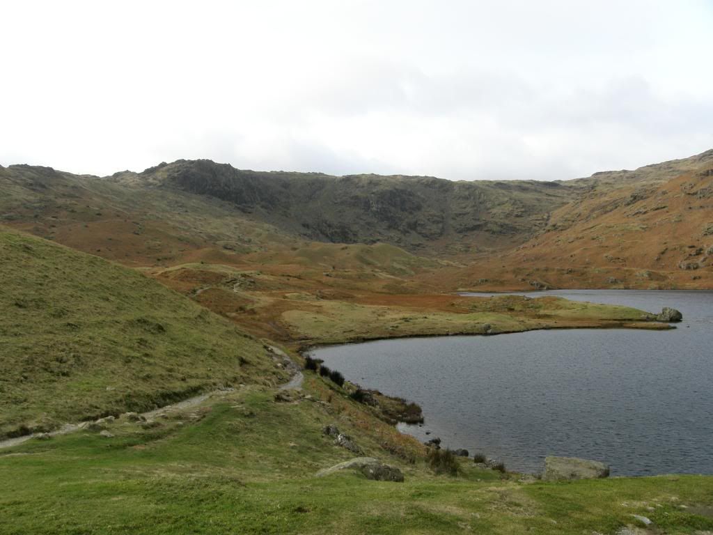
Easedale Tarn
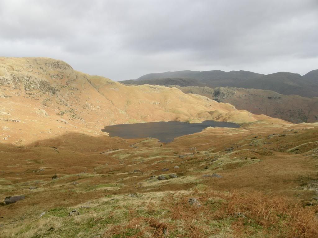
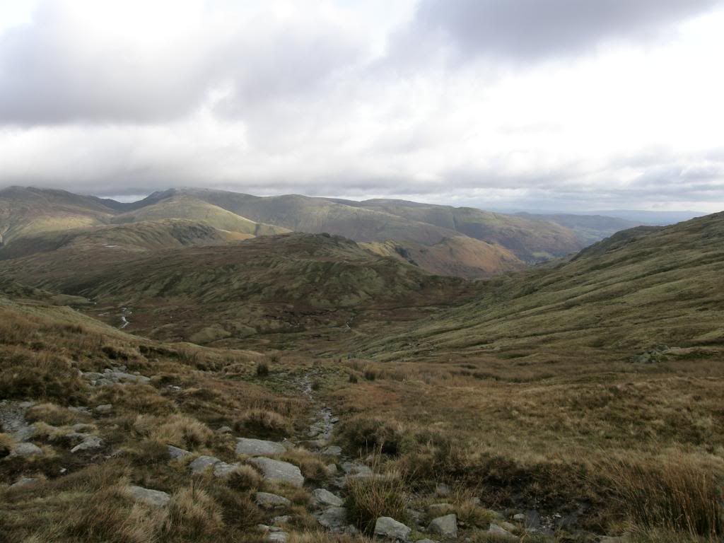
The route took me around the south side of the water with Greathead Crag looming large beyond. I heard the roar of jet engines approaching up the valley and saw two sweeping behind the next valley. I took a picture but they always end up looking like a dot and nothing as spectacular as when they bank around the fellside. Ahead of me I could see the route climbing steeply up towards Eagle Crag and Belles Knot, so I peeled off a layer before the hard work began, and watched a couple of buzzards circling high along the crags. As I ascended I got an inkling of the weather to come and could see low cloud flowing down over the higher ground - and as I said earlier the law of averages states that for every 7 sunny walks, you will get persisted upon regally from above. I guess the moral of that is if the forecasts were that good we Brits wouldn’t have anything to talk about. The route got steeper up beyond the tarn, with boggy sections crossing small becks, but the delight of this walk came when I was clear of Belles Knott and up to the ridge of Blea Rigg. I could see Codale Tarn away to my right so I knew I was in the right place, and it is a good reference point. Away to my left the Langdale Pikes hove into view, with some bigger boys in the distance. It was interesting for me to get a good close look at
Up above the tarn you can clearly see all the moraines deposited around
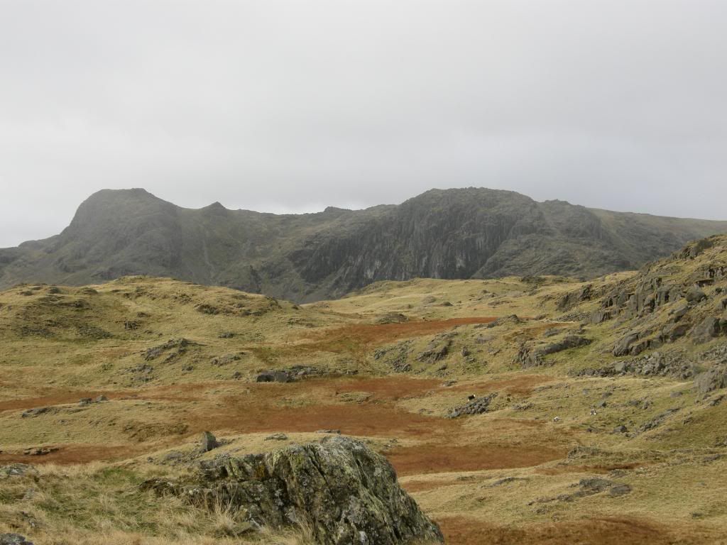
Looking across to Pavey
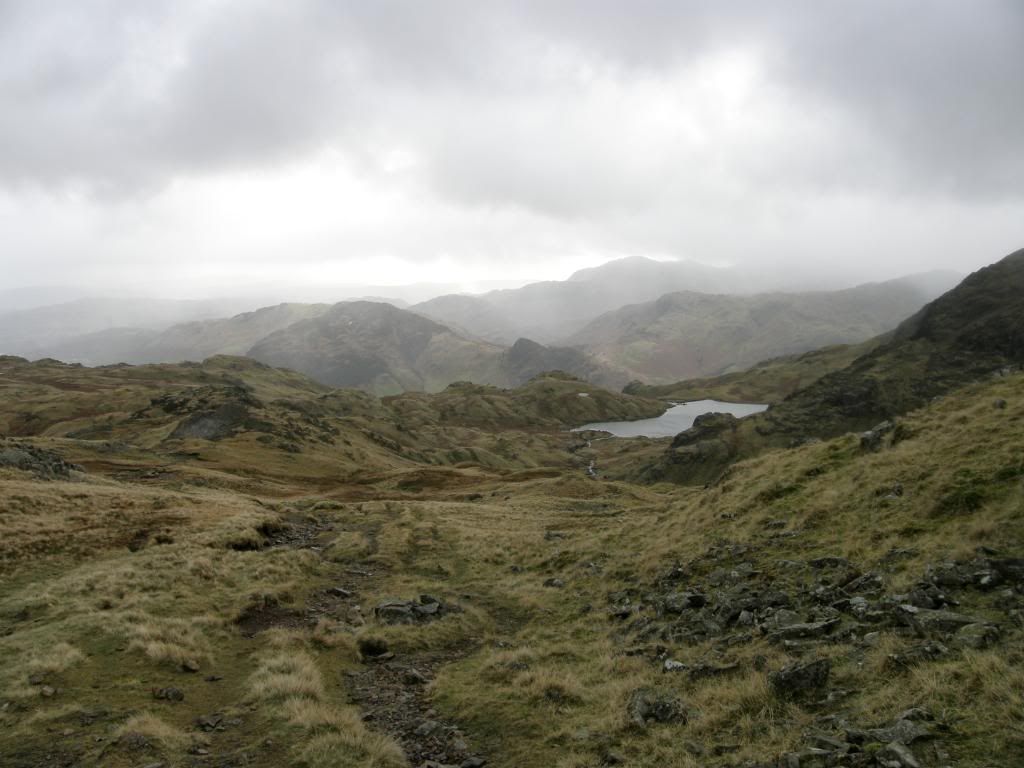
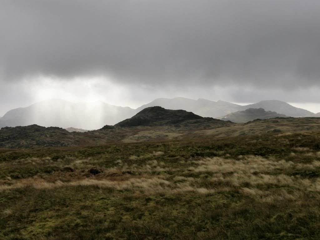
Up on Blea Rigg the wind was blowing up a storm and when the rain/sleet came down it was a real stinger. So much was the force of the wind I had to hold my hand in front of my face for some protection, bracing I think you would call it. The view to the west looking down to Stickle Tarn kept me occupied as I made my way up the ridge to Sergeant Man, and I saw a couple of fell runners moving very quickly. I’m not surprised either as it had turned very cold in the wind, with the snow giving a gentle dusting to the higher fells. The strong northerly wind blew squalls along swiftly and gave me some good atmospheric pictures of Harrison Stickle and the Crinkle Crags beyond. Once I had made it up Blea Rigg to Sergeant Man I took some time to enjoy the limited views down to
Stickle
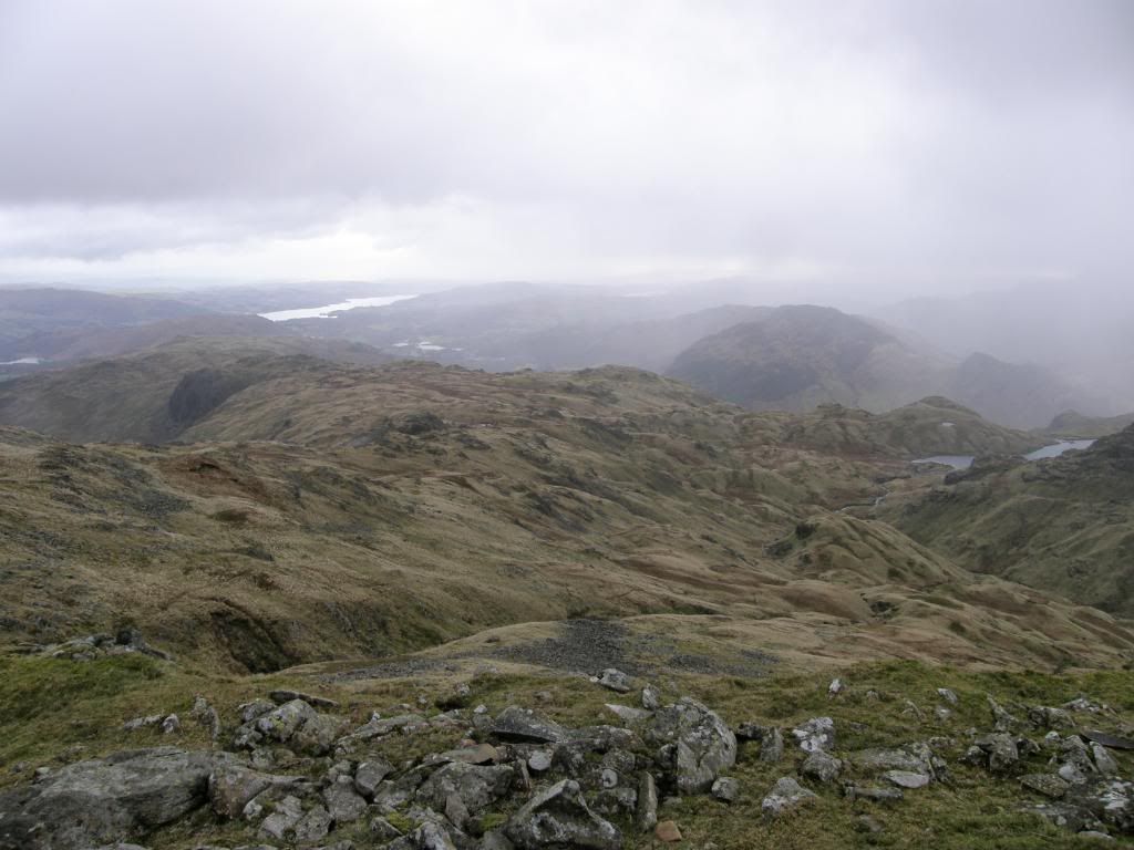
The view down from Sergeant Man – a toad like landscape
It really was awfully windy..
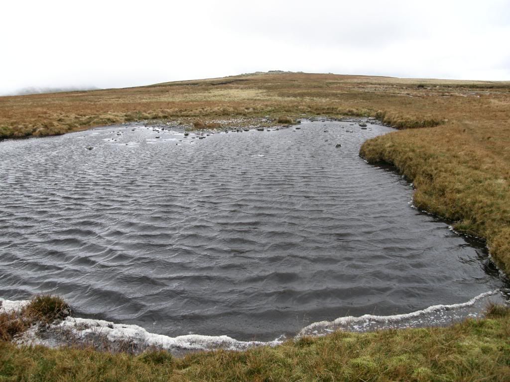
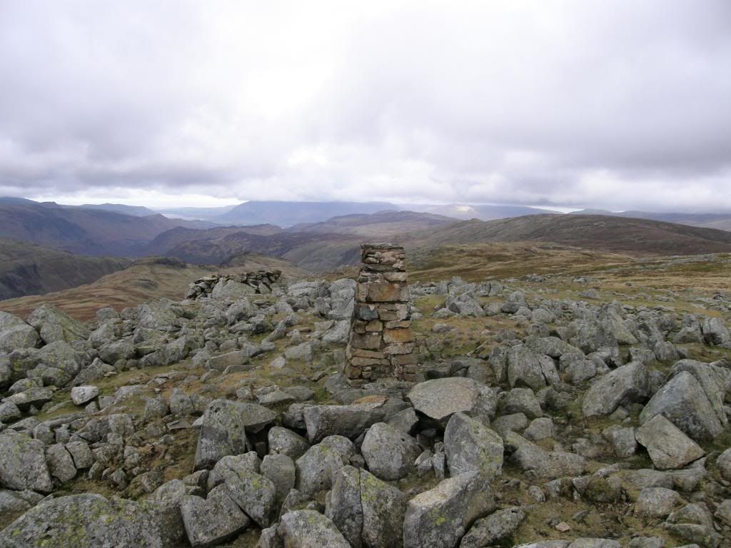
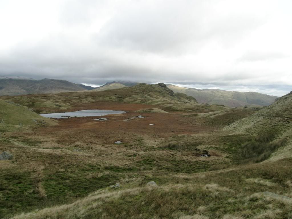
Once I started towards High Raise the weather was harsh with snow/sleet straight into my face – ouch. The path up to High Raise summit is indistinct, and I passed a small tarn towards the top. The wind was now so strong that I could barely stand still or hold the camera still, but the ground was not too bad – it was 2 steps forward, 1 back or sideways. I had my usual slice of luck as I got to the summit cairn with the clouds lifting to reveal views north to the Scottish hills beyond the
Looking north from High Raise trig point –
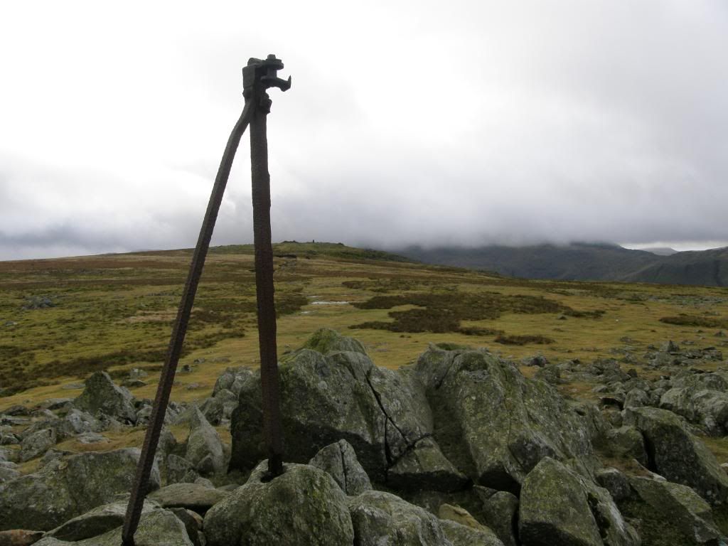
The old fence line down to the crossroads at Greenup Edge
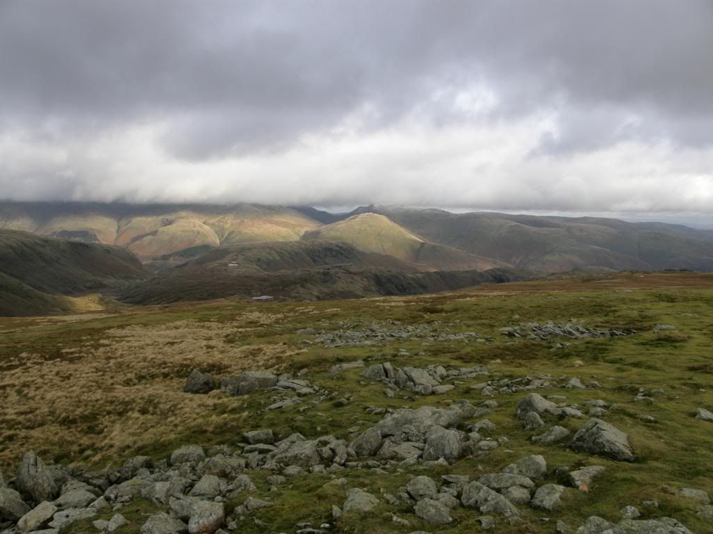
I checked my bearings and made my way east to pick up the path going north to meet up with Whitestones and Greenup Edge, loosing ground as I swung around towards the correct ridge to lead me to Helm Crag. It was slippery icy conditions underfoot, but at least it firmed up the boggy bits. The crossroads of the paths were easily spotted and I dropped down into a little valley beneath, crossing several becks carefully before climbing up to Brownriggs Moss. Another fell runner passed me by with his arms outstretched making rapid headway down the hillside, and he showed me the way around towards my next objective. I saw a few runners wearing ‘sponsored by the Old Dungeon Ghyll Hotel’ T-shirts – hmmmmm - a T-shirt and a few pints for hurtling up and down fells – I think I’ll buy my own. The long ridge down to Helm Crag looks an easy enough descent from on high, but there were plenty of up and downs, and a few small scrambles to keep me interested. There was also the matter of the wind – it was still fierce, but at least the sun was shining and the rain had stopped.
Helvellyn with his head in the clouds across the valleys
The path down and across to Brownriggs Moss
Brownriggs Moss
The wind was whipping up the surface of the unnamed tarn on Brownriggs Moss, and you could have held the
Looking back along the ridge to Calf Crags
Helvellyn with a light dusting of castor sugar
Down the ridge to Gibson Knott and Helm Crag, from just a Moment Crag
Helm Crag from Gibson Knott,
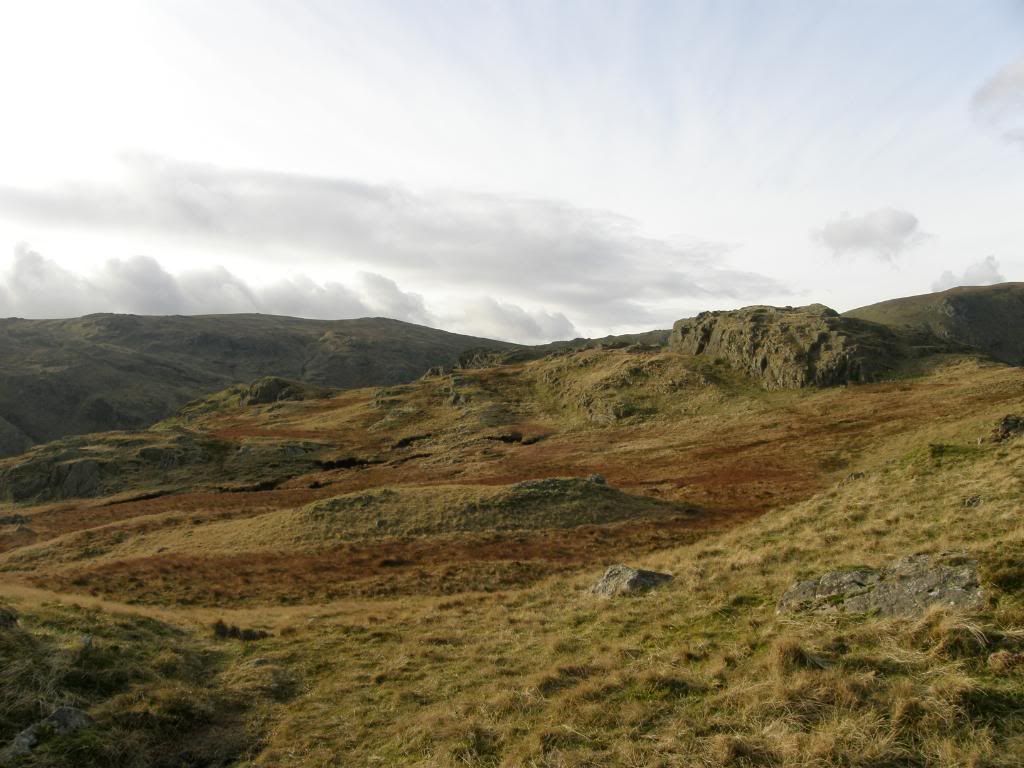
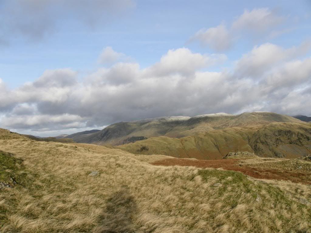
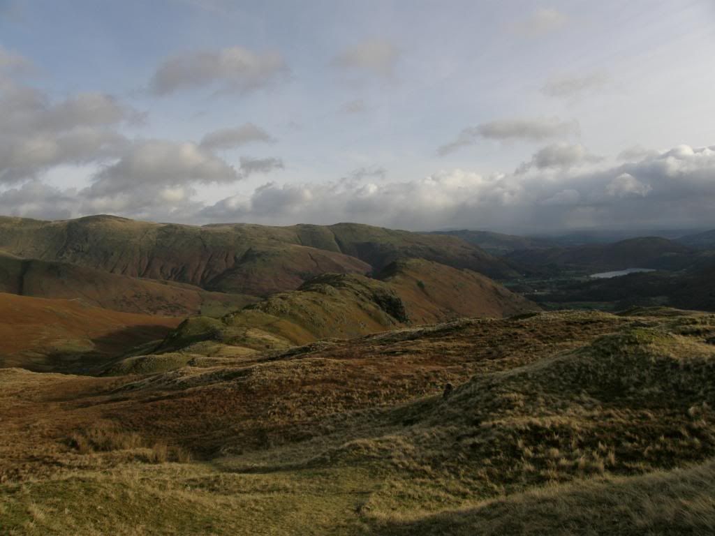
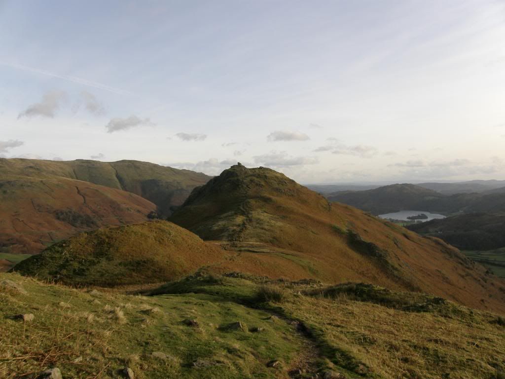
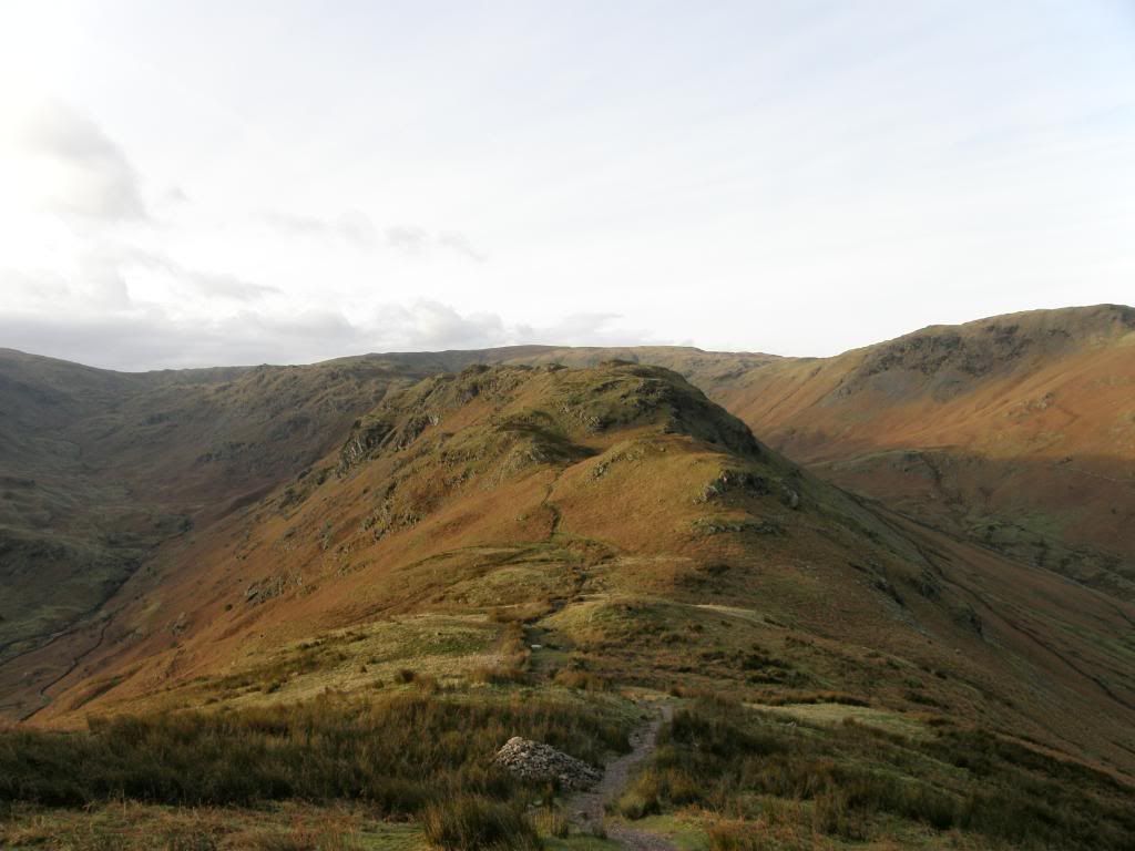
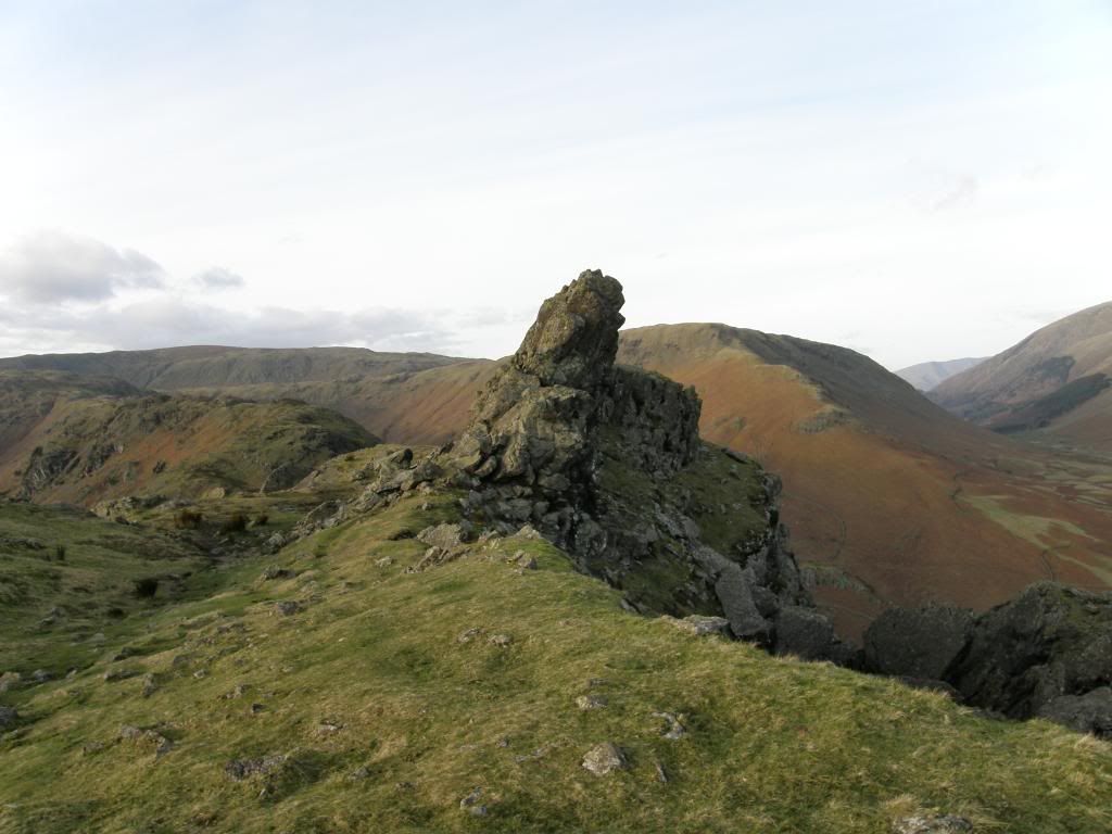
The next point along the ridge was Gibson Knott and once I was up there I had a good view of the final climb to Helm Crag, with the Howitzer prominent on its peak. At last I had some easy walking on a gentle path alongside Gibson Knott and down towards Bracken Hause. It was a delight here to pause and take in a retrospective view of the route taken earlier. It is always good to get a proper appreciation of the effort you made to gain the higher ground – as in ‘did I really go up there?’ – I often think to myself ‘yes Zippy you did hahaha.’. I basked (not baked) in the late afternoon sunshine, picking out various features in the landscape that came into view. Then I had the final stomp up to the summit of Helm Crag. I spent some time enjoying the top and as Wainwright said ‘The summit is altogether a rather weird and fantastic place, well worth not merely a visit but a detailed and leisurely exploration’. There are two prominent outcrops known as the ‘Lion and Lamb’ and the ‘Howitzer’. The true
Looking back up the ridge with Far Easedale to the left and Greenburn to the right
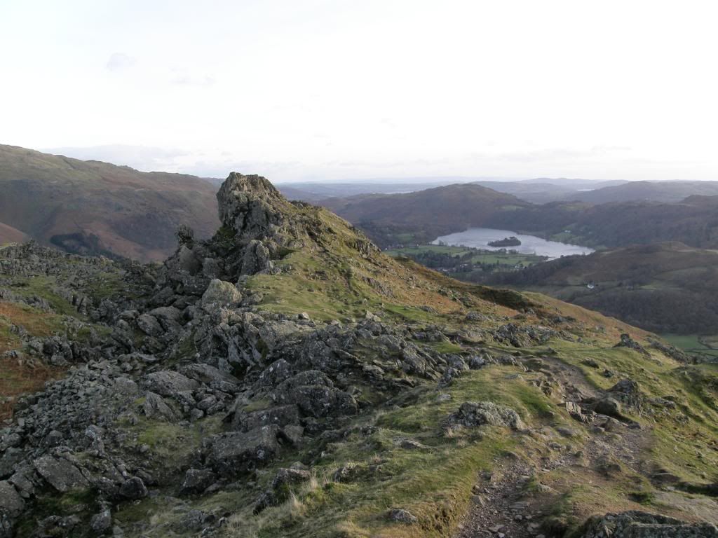
I think this one is the Howitzer
..and this one the Lion and Lamb
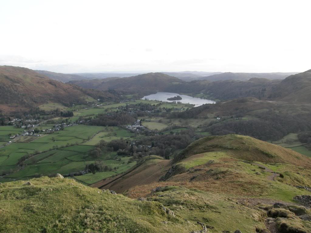
The end is nigh, looking down from the end of Helm Crag over
Today’s route across the valley
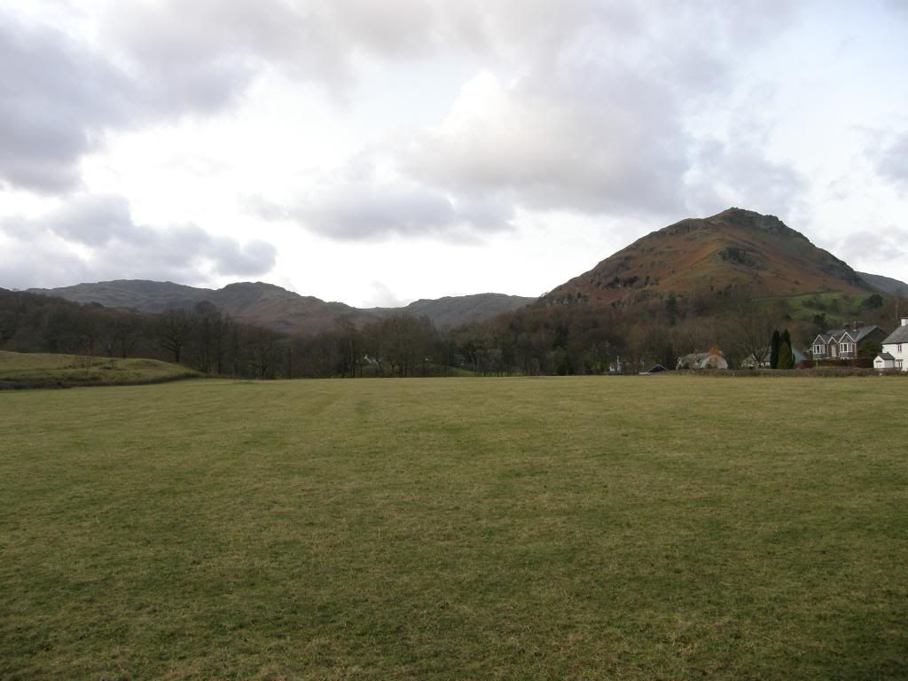
A final look back from close to
I saw another fell runner hurtling down the slopes, arms outstretched for balance – mincing down the fell! It was still cold and windy so I followed the runner down the well worn paths which zigzag down off the crags, passing some Holly trees laden with red berries, and ending up in the woods at Lancrigg. This must have been an old estate some time ago as there are remnants of paths and moss covered ornamental ponds. I couldn’t find my way out here, as the path looked to cross over some gardens in front of a house. I wasn’t sure so rather than disturb someone’s peaceful view, I climbed a gate into the nearest field and crossed over to a track. I did disturb some deer on my way through, so obviously it wasn’t an oft used way. My route returned me back down the
My new windproof gear, although a farmer accused me of rustling….


No comments:
Post a Comment