The Aberglaslyn gorge and a quick trot up the miners track
31st December 2008.
Map: Landranger 115
Weather: Wonderfully clear all day
From
Copyright OS-Click on map to enlarge, then hit the back button to return to blog
The last day of the year for a wander around and the local forecast was for foggy patches – I looked out of the window at 7:00 and couldn’t see a thing. Lethargy had overtaken me for the last month or two and I had crammed on the weight during the festive period – up ½ a stone – that’s 3 bags of sugar around the waistline. So I decided to try and have one last walk for 2008, promised myself to lose weight, and as the forecast for
The
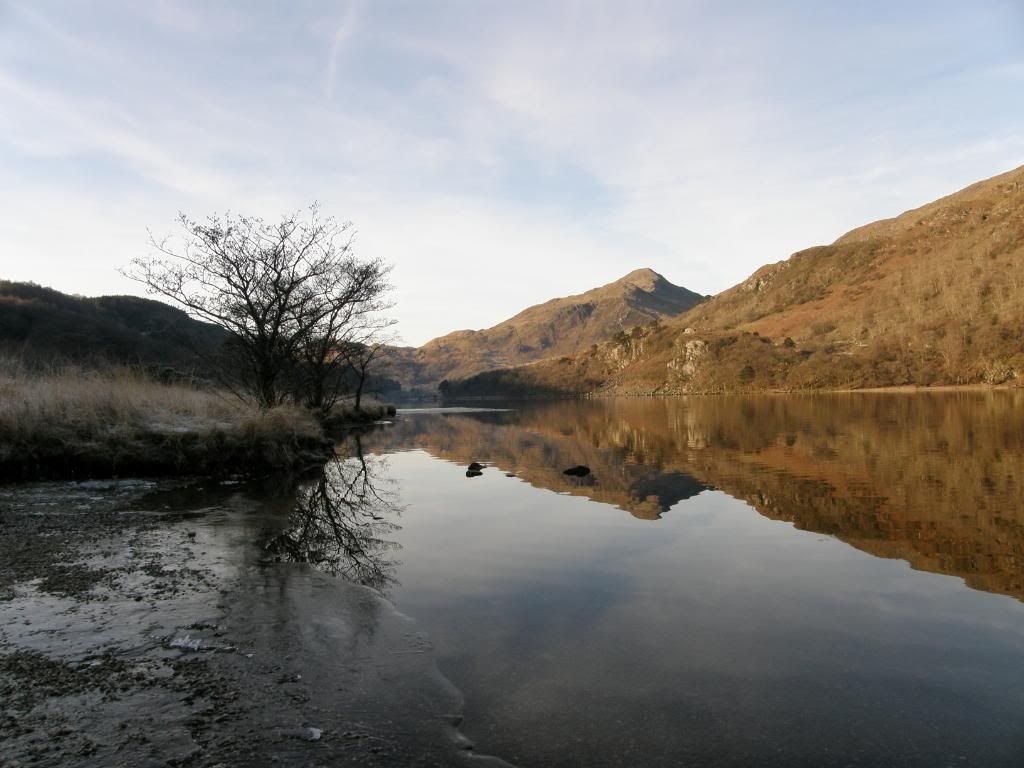
The still waters of Llyn Gwynant
Further on down the valley I pulled over to look at the
The dead end wall above
The way ahead…
…ascends slowly up
The Cnicht to the left of Moelwyn Mawr
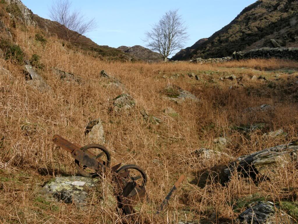
An old mine bogie
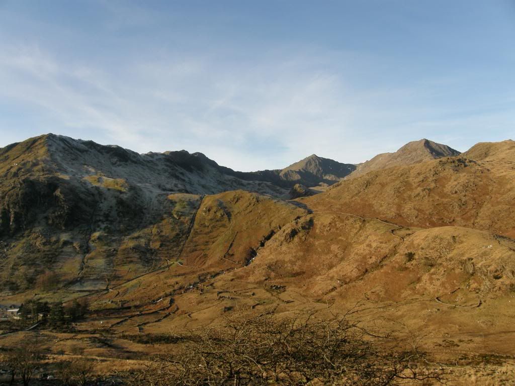
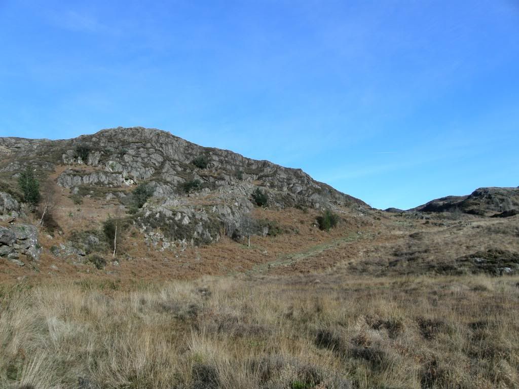
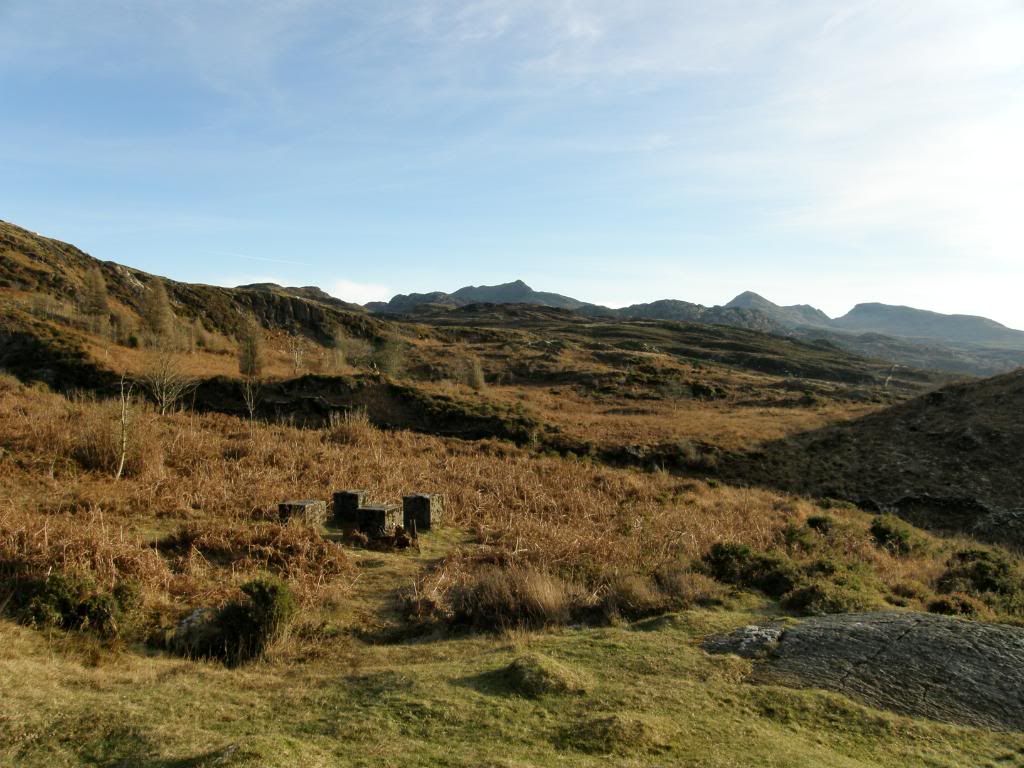
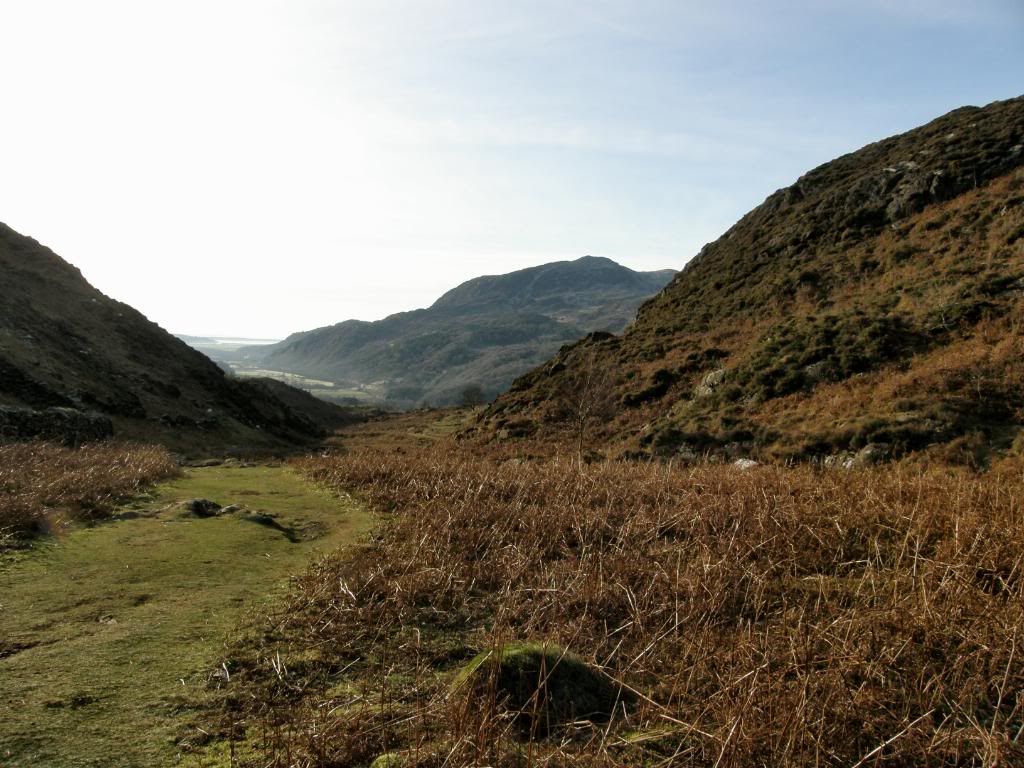
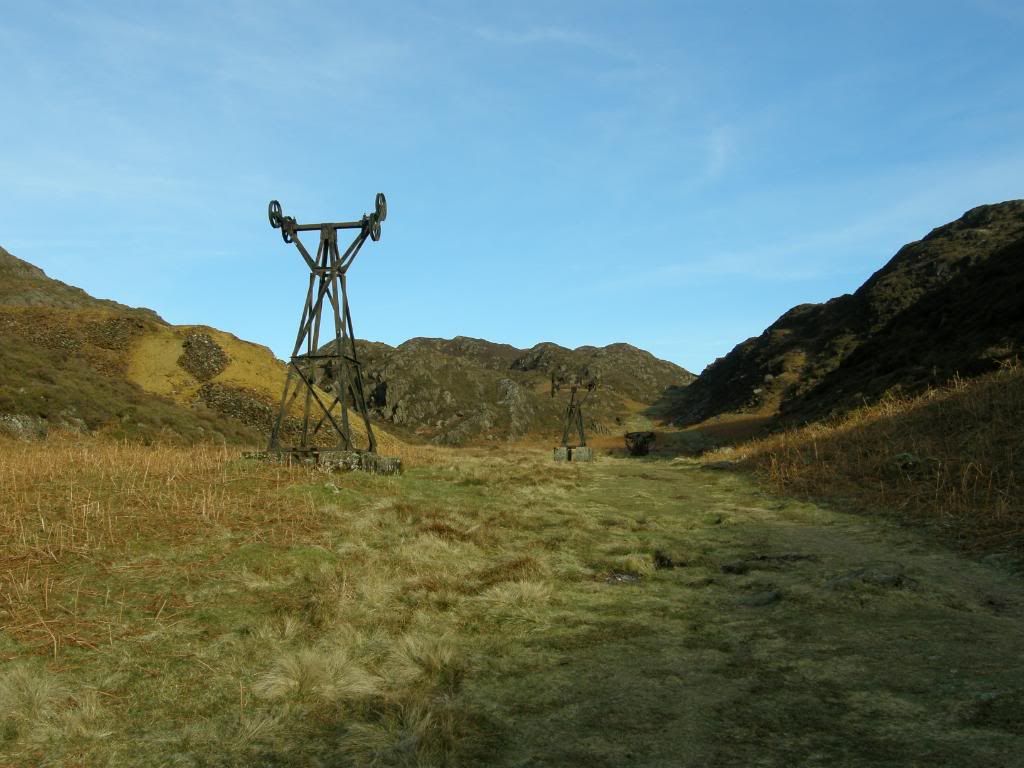
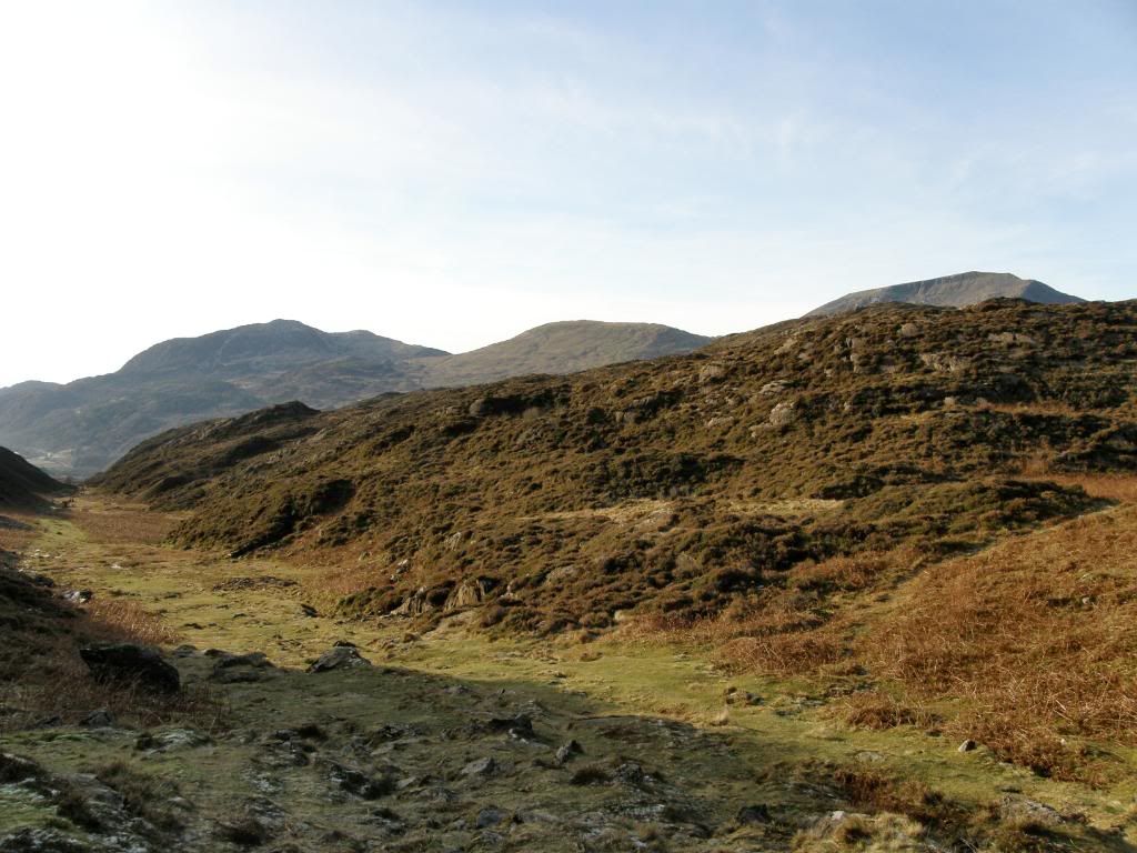
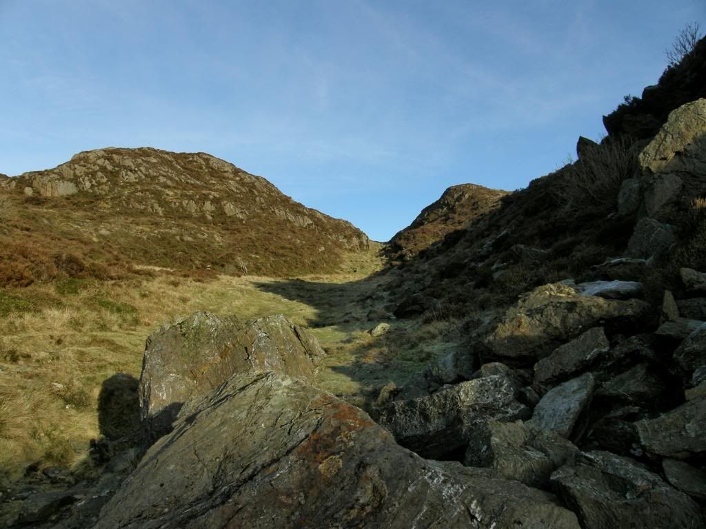
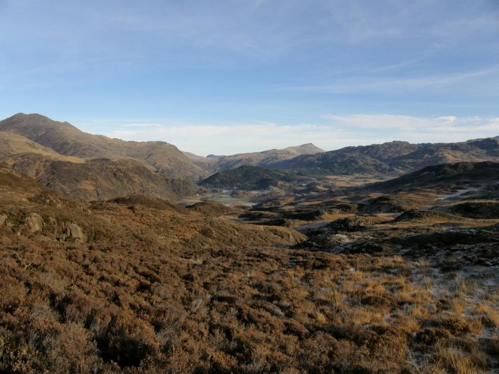
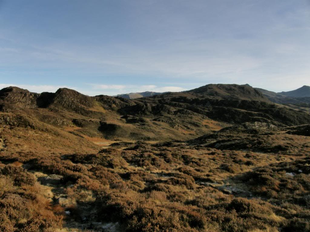
As I made ground I could see the Cnicht and Moelwyn Mawr away to the south west across lovely russet coloured moorland. That made me smile as walking up the Cnicht got me started on the walking bug again, and I haven’t looked back since – well actually I always look back, but you know what I mean. The air was crisp, but not as crisp as the car thermometer would suggest at -2deg. The path followed the rusty old gear onwards and upwards along a very straight valley, which was probably chiselled out of the hillside during the copper mining era. The route veered to the valley on the right side of a hill up towards the col of Grib Ddu.
The view down to the estuary in the distance
The pylons looking like an old ski slope
Moel Hebog appears over the horizon
The path veers to the right up to the col
There is a ladder style at the top of the hill and as I reached it the views opened up towards
A great view over to
Far reaching views to Moel Siabod in the distance
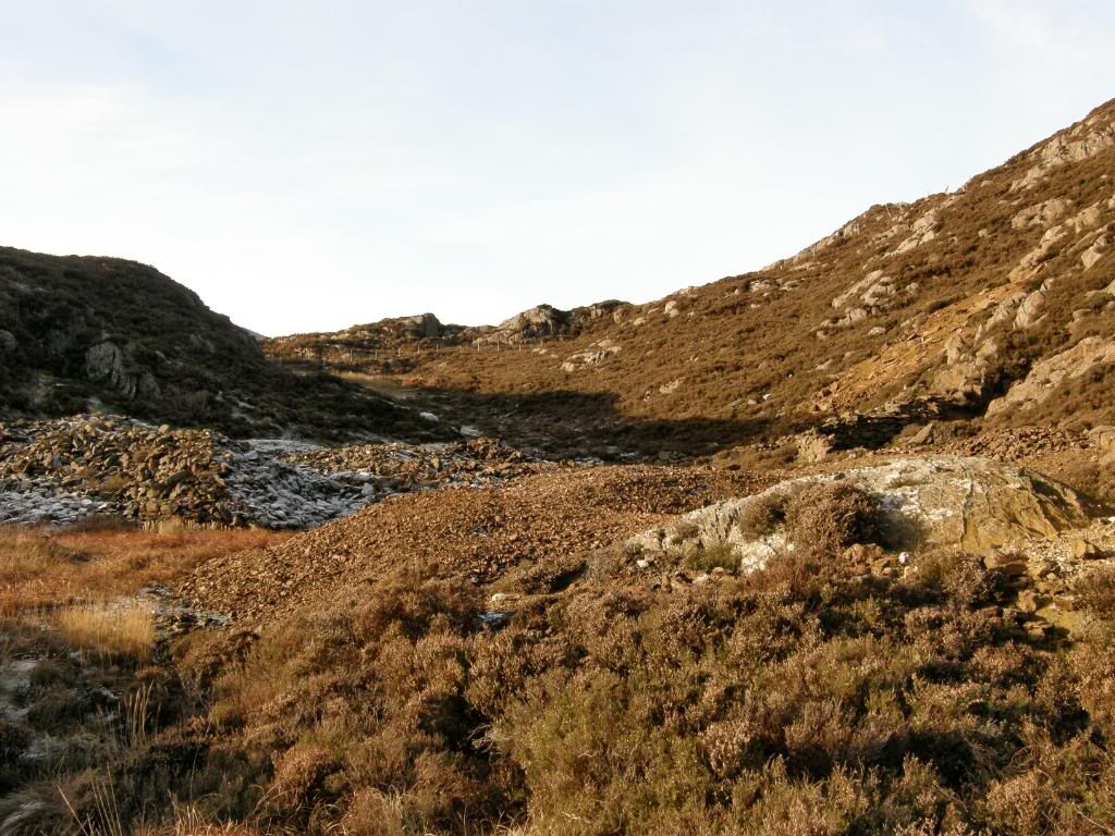
Some old copper work tailings up to the next stile
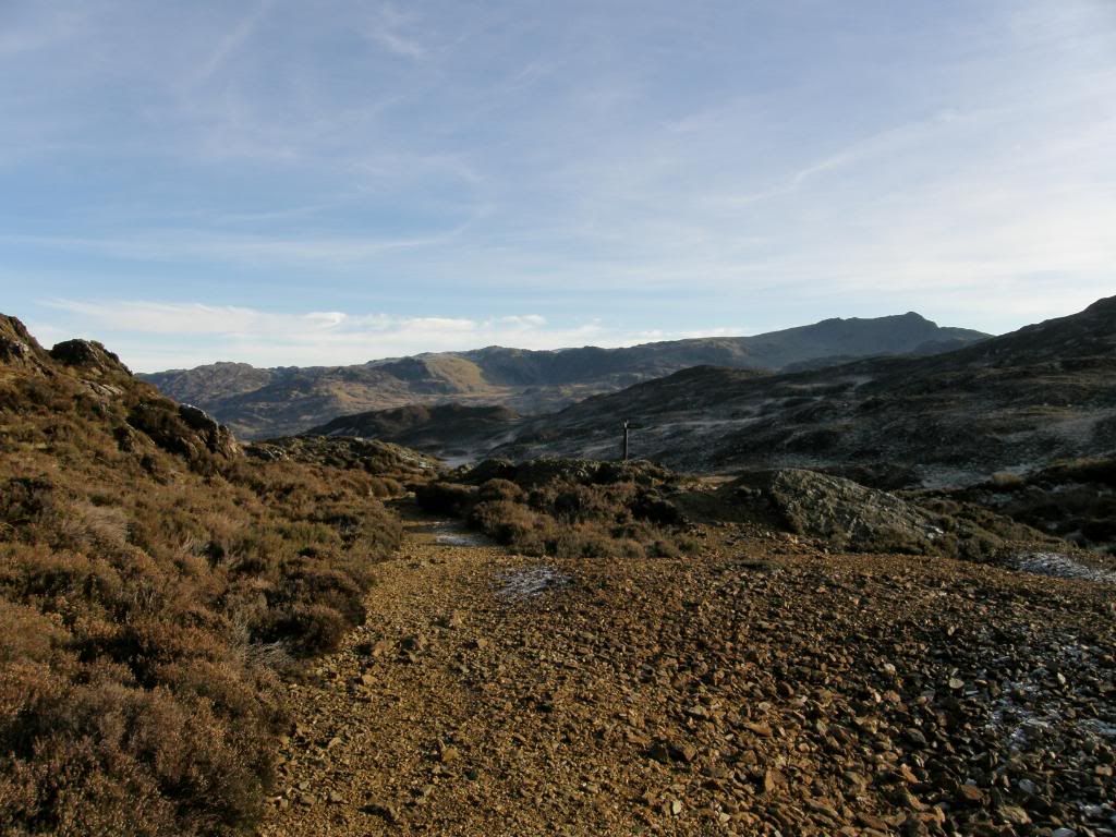
Looking back down to the sign post, with the Cnicht in the distance
To the side of the path here are small tunnels dug into the hillside, evidence of old workings, but not too inviting to explore as they are quite narrow. I did a spot of illicit potholing in my youth around the old engine vein works at Alderley Edge in
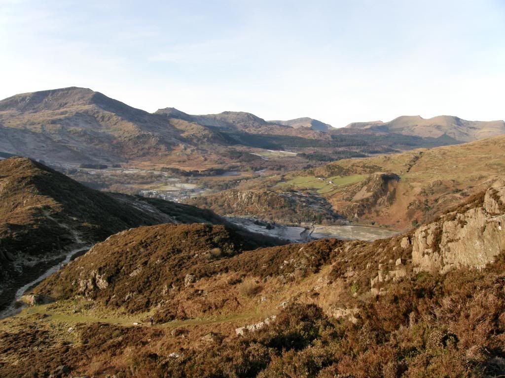
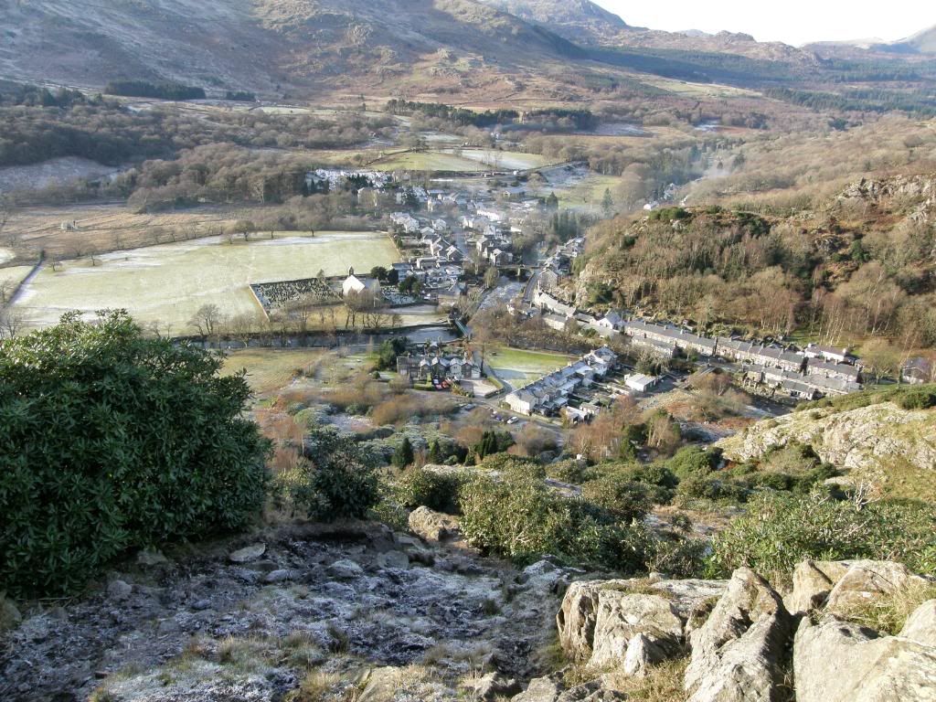
Looking down over Beddgelert
Looking back to Bwlch-y-Sygyn
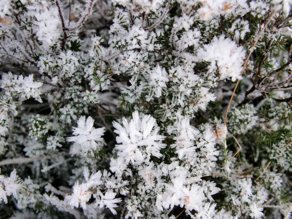
An icy Erica – heather to you and I
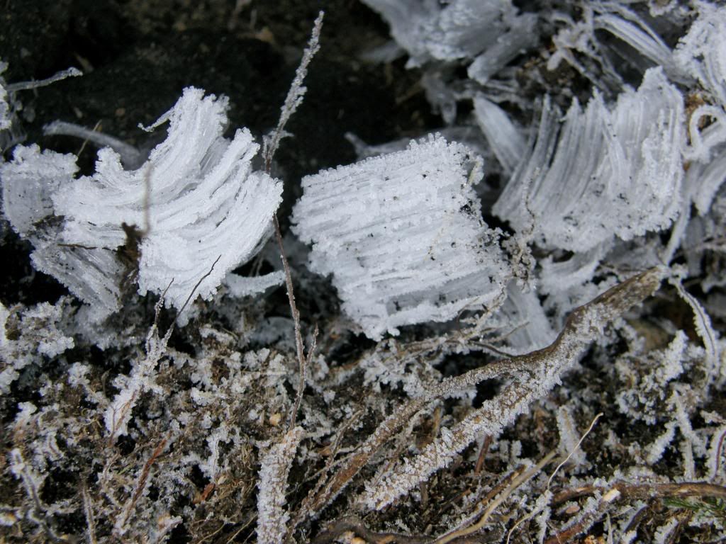
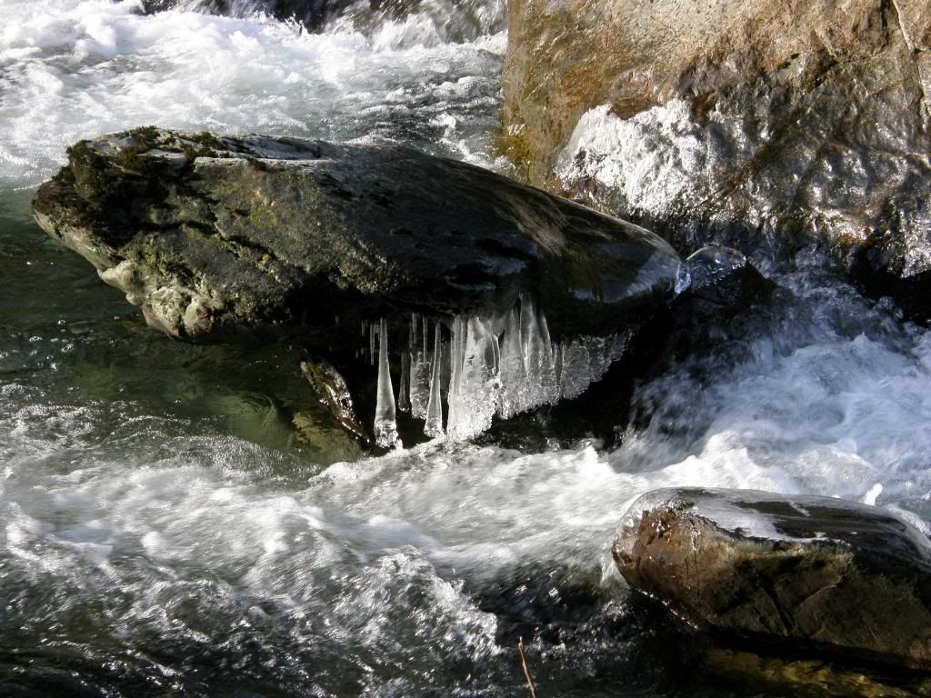
Icy toenails
The kissing gate
The start of the steep drop down to Beddgelert
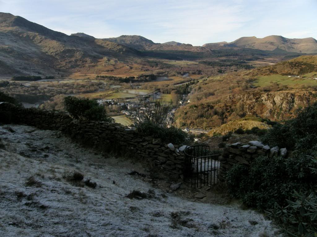
The hillside here is heavily covered with Rhododendron bushes that seem to be ideally suited to growing here – it must be a wonderful sight and smell when they are in full bloom in the spring. The path becomes steeper the further down the hillside I walked, and the heather was covered in ice crystals, the temperature must have dropped a few degrees as well. I think this would be fairly wet down this way when it rains, judging by the ice that lay in parts. There were some interesting ice crystals that looked like toe nails – a gradual freezing of successive layers of water as it dripped over stone ledges and curved around. After passing through a metal kissing gate the path becomes very steep and required care not to slip down some rocky sections. I met several families on the way up looking slightly pink as their exertions took their toll, and several dog walkers, so it must be a popular route. Soon enough I was at the edge of Beddgelert and I stayed on the East side of the river to continue towards the Aberglaslyn gorge. On the opposite bank are the remains of an Augustinian priory and Gelerts grave – The story of Gelert is a variation on the well-worn "Faithful Hound" folktale. In this case the dog is alleged to have belonged to Llywelyn the Great, Prince of Gwynedd, and to have been a gift from King John of
The edge of Beddgelert
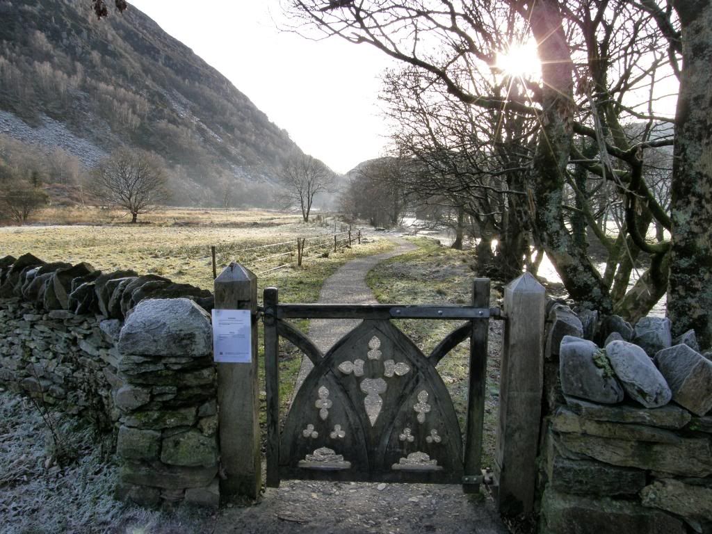
An ecclesiastical gate
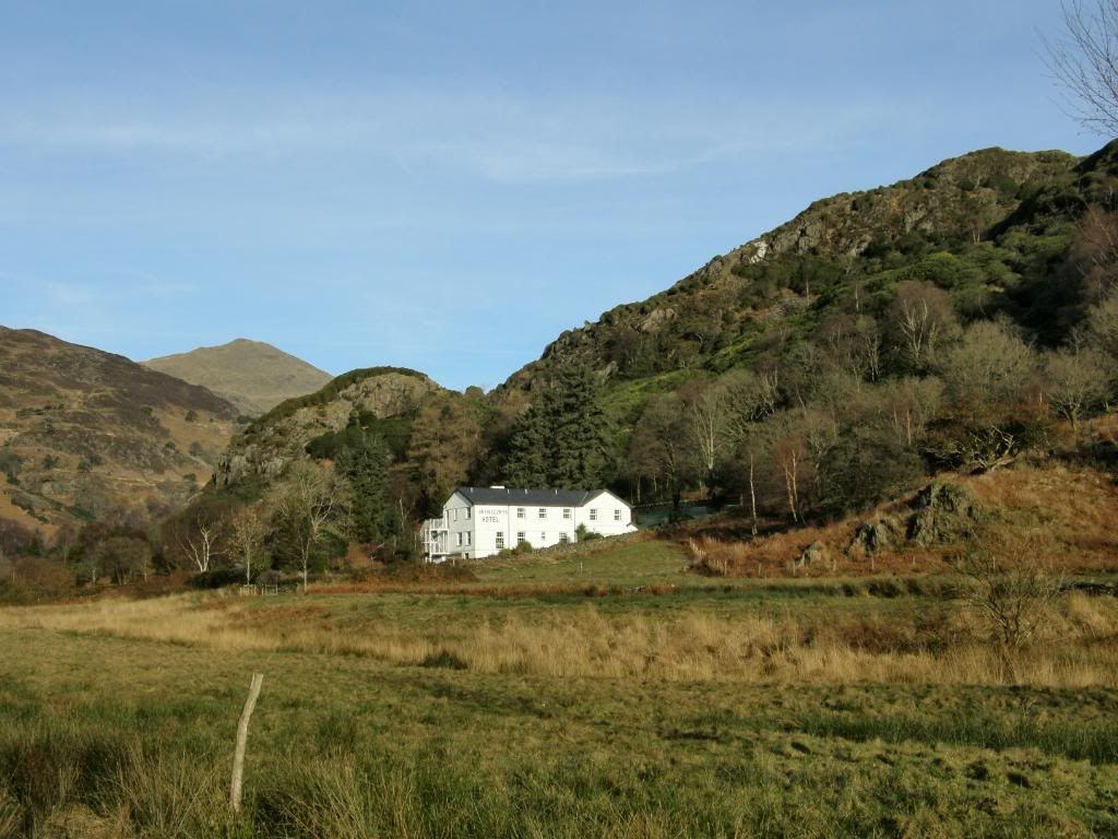
The steep bluff that the route comes down beyond the white hotel
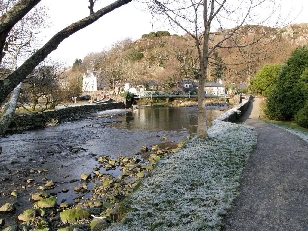
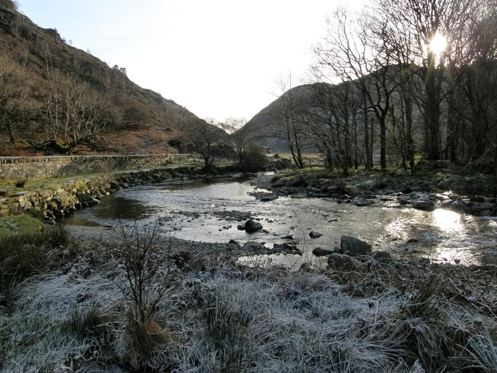
The gently flowing Aberglaslyn
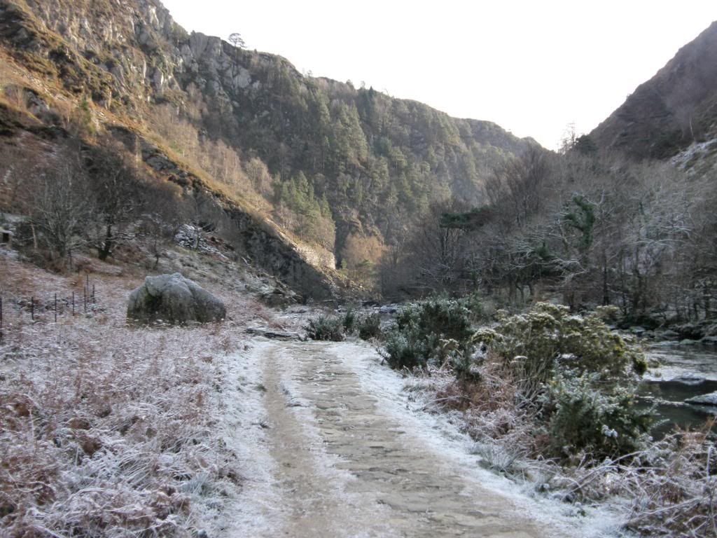
The Wales Highland railway runs along the valley for a little way before cutting away from the steeper valley sides. A neat concrete path was easy to walk on if you’re dressed in your Sunday best, and there was plenty of bird life to see flitting in and out of the treeline. Some of the grasses here had a deep hoar frost and glittered silver in the bright sun, very atmospheric but very cold down in the valley. There are a couple of nice gateways here – one ecclesiastical, and one with Thomas the tank engine on it. The concrete paths continue on until you reach and cross over the railway line – obviously take care when crossing, but you would have to be deaf as a post to miss the noise of a steam engine. Once the railway line diverges to the left the path becomes less orderly and more varied. There are sections of paved stone, followed by rough track, and some rocky exposures.
The start of the stony path
The handholds at the sharp corner
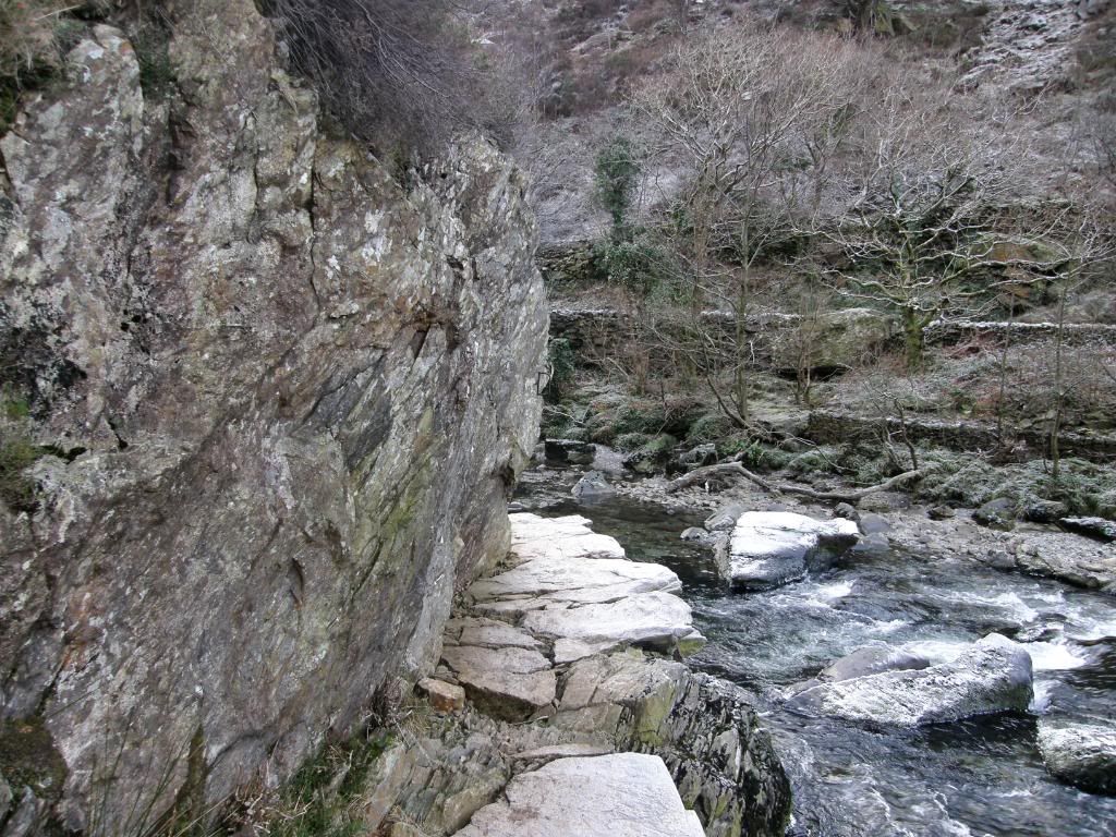
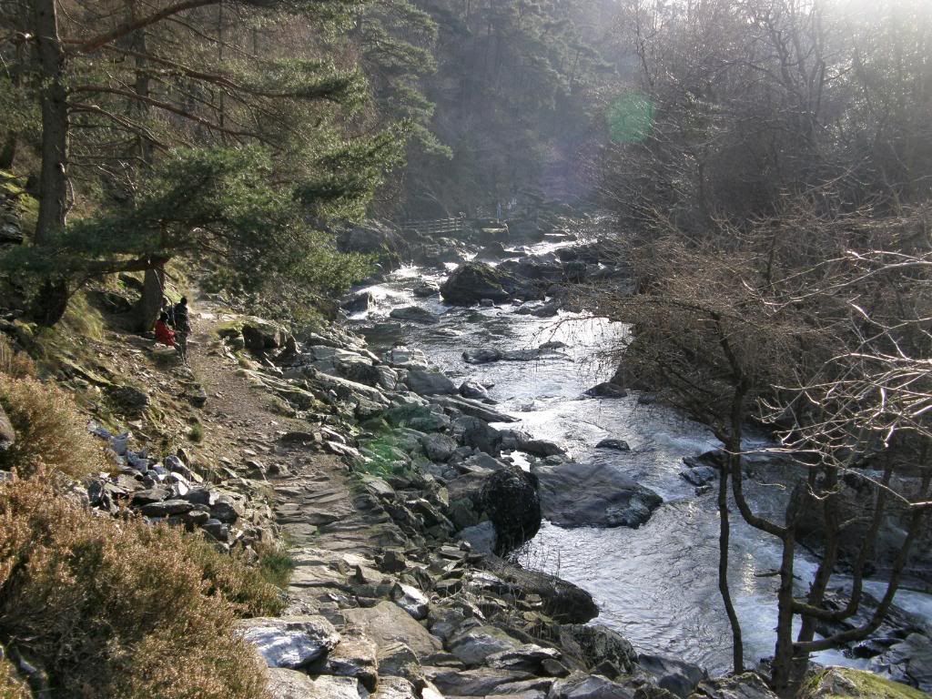
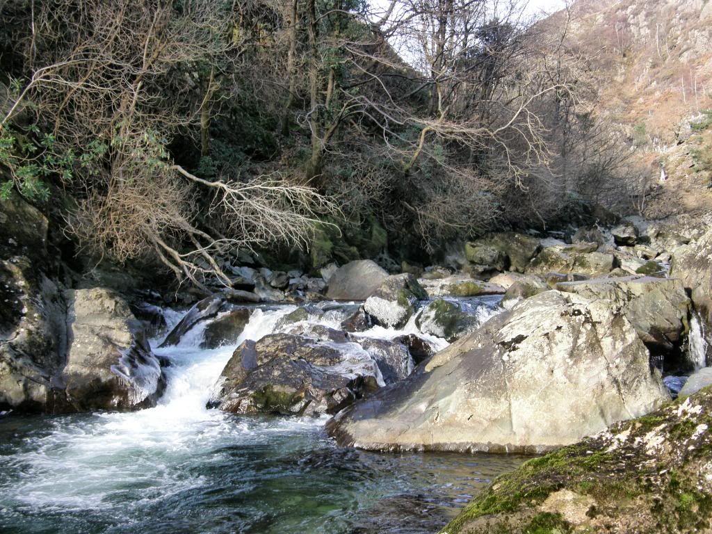
At a sharp corner there are a couple of steel handholds to grip as you walk around the path, not really in the Via ferrata mould though. The path also passes over a short section of boards and up a rock slab by the aid of some wooden slats, all of these make the route beside the river very interesting. The ground rises and falls above the water and falls over several cataracts, but never in a rushing torrent, unless it’s been throwing it down further up the valley – in which case I could imagine that this beautiful setting gets a bit angrier. Have a look here for some information - http://en.wikipedia.org/wiki/Aberglaslyn_Pass.
A lovely feeling walking along here
Looks like a whales head and a jellyfish
A last look back up the gorgeous gorge
Alas it didn’t last long enough for me and I was soon back down to the bridge at Pont Aberglaslyn, where I turned to the east to complete this round by following the contours around the hillside (not on the road). The path returned to the start of the walk through some woods, and as I was so relaxed after this stroll I decided on a quick journey up Snowdon to see how far I could get in a couple of hours.
Drove up to Pen-Y-Pass car park, walked up the miners track to Glaslyn and returned via the PYG track: 5 miles on the memory map
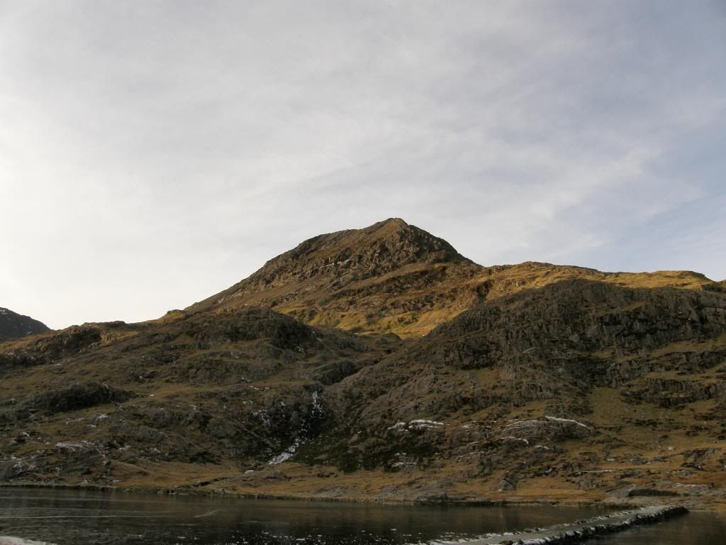
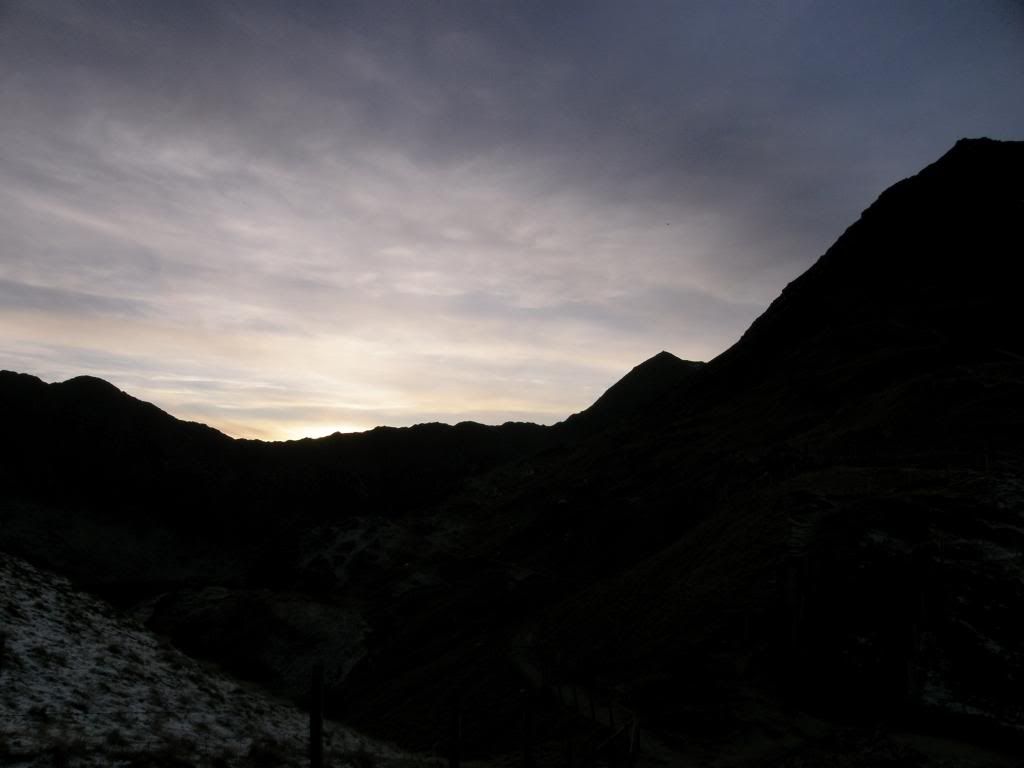
I drove back up to the Pen-Y-Pass car park and there was still a queue waiting to get in. As it was about 1:30pm I decided I would see how far up the miner’s track I would get with the remaining hours of daylight left to me. As I was waiting in line the car park attendant was busy undoing his barrier tape and moving his traffic cones out of the way, and I could see a steady stream of starters returning to the car park. By 2pm I had parked up, refreshed with a cup of tea and a picnic bar from the cafe and set off at a good pace up the path. The miners track has a quite gentle incline for most of the way up until it reaches the shores of Glaslyn, where it steeply rises up to converge with the PYG track and then on to the summit. I had no illusions about reaching the summit today – I could have managed it but I would have been coming down in darkness, and as my track record of walking at night isn’t very good, I didn’t even consider it. The weather was beautifully clear, but the sunlight was now on the backside of the
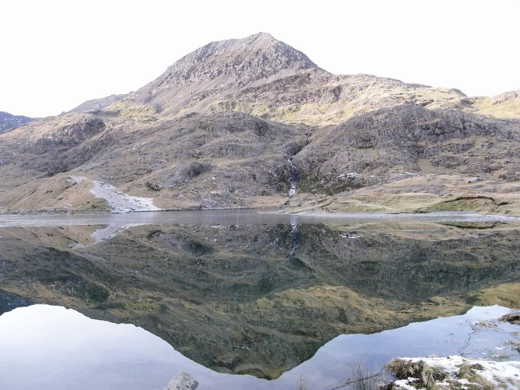
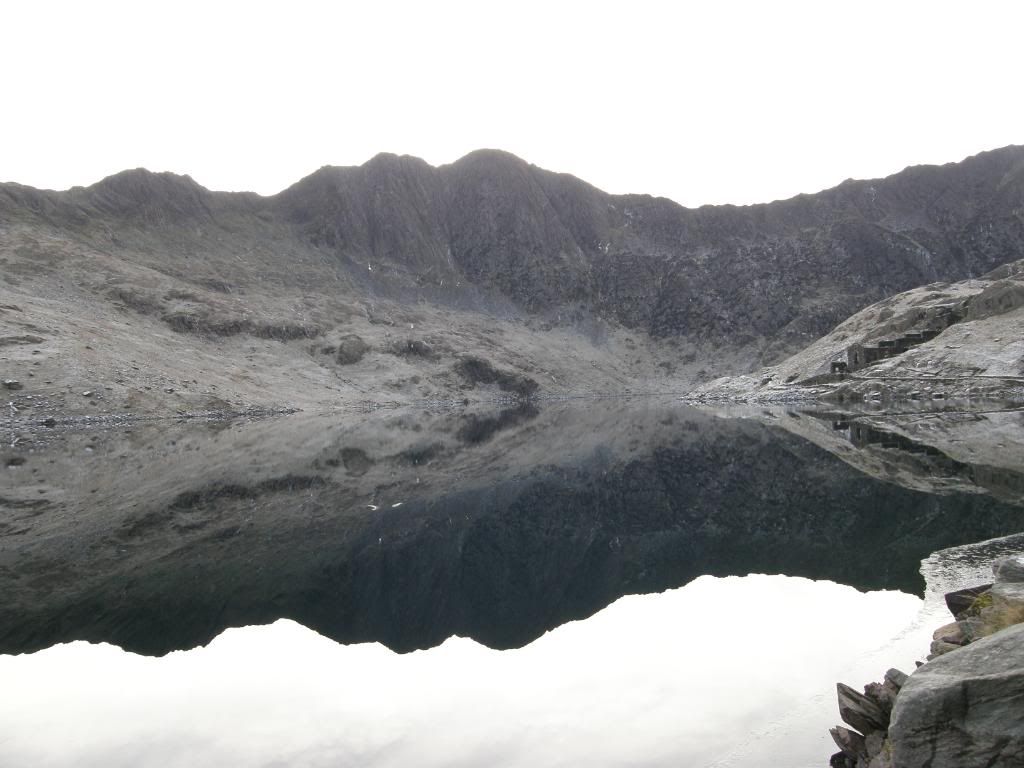
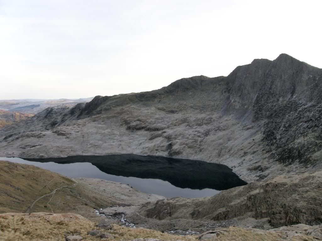
Crib Goch reflected in the still waters of Llyn Llydaw
Crib Goch in a different light – still steep though
Grib Goch up to my right looked as intimidating as ever, with the worse bit for me (the climb up to the ridge) looking very steep. I zoomed my camera in to focus on the summits and there were a lot of people on the top of
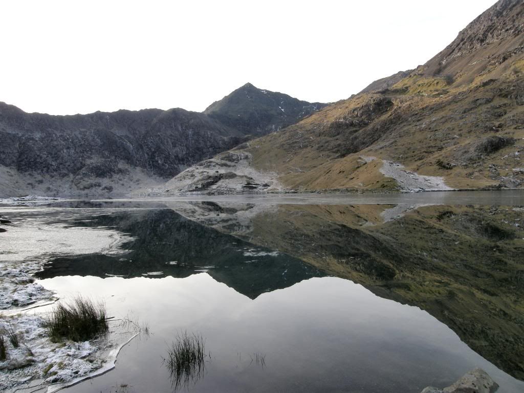
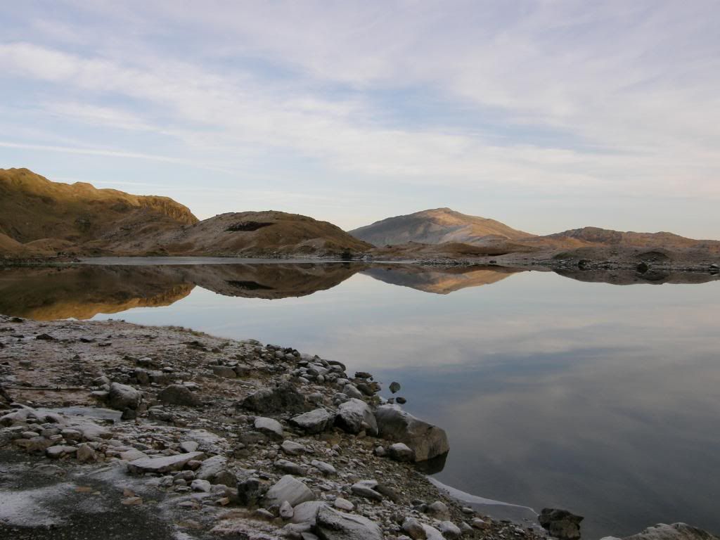
Y Lliwedd across the water
Looking back to Moel Siabod in the distance – very peaceful here
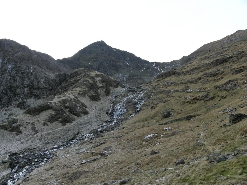
Probably the steepest part of the route up to Glaslyn
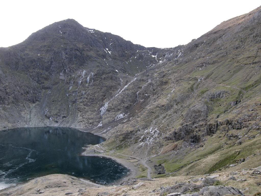
I reached the shore of a very frozen Glaslyn in about 1hr from setting off, so I decided I had more than time enough to return via the PYG track. There were still plenty of people around, mostly descending back down the mountain – I could see people thinking ‘he won’t make the summit’, and they were right. I also passed a couple of gents who were heading for the summit to see in the New Year – good luck to them, and I hope it was worth it. Glaslyn was frozen over and there were a few people chancing their arm by skating on the surface of the lake. That’s not something I would trust myself to do, although everyone who was moving around the ice were close enough to the shore. I left the miners track and headed up along a grassy path that led me up a steep slope to intersect the PYG path. Once I had made the climb up, it was now all downhill and I knew I would be back in daylight hours.
A big ice rink below
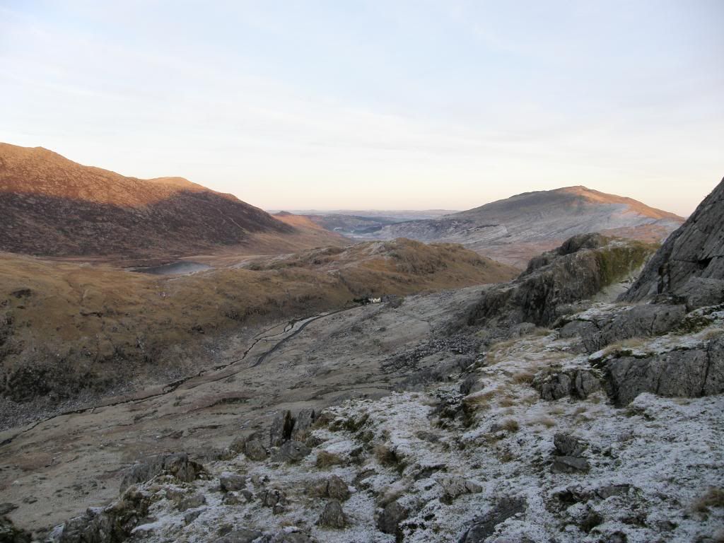
The view down from the PYG track, with Y Lliwedd across the valley
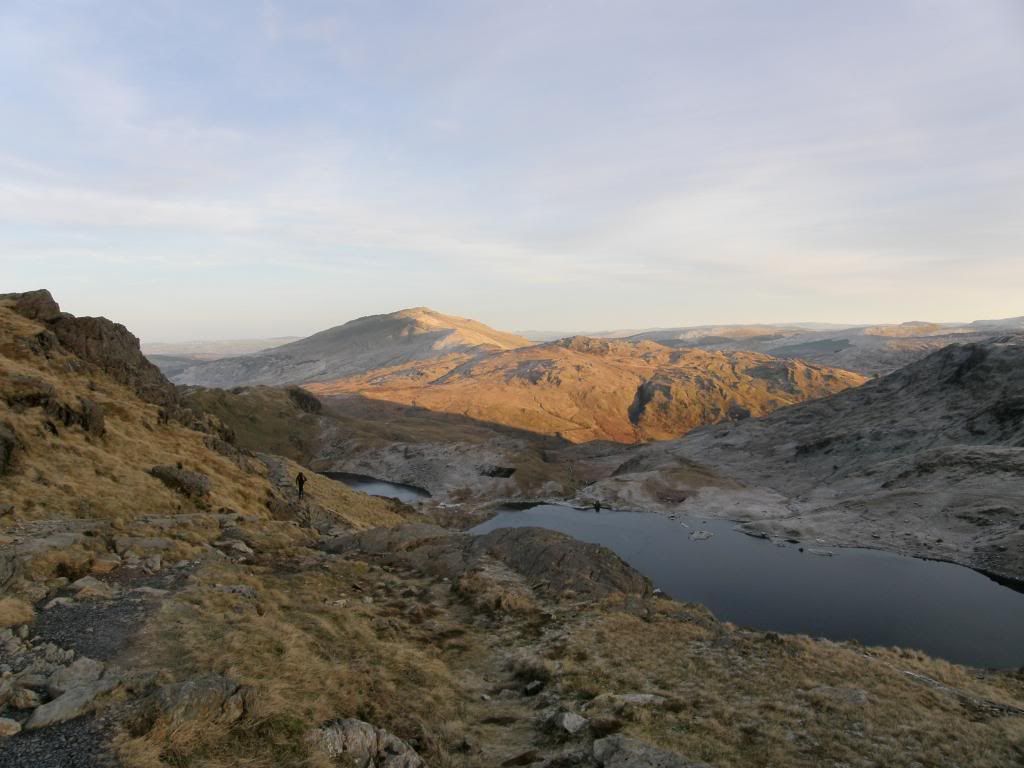
Moel Siabod basking in the evening sun
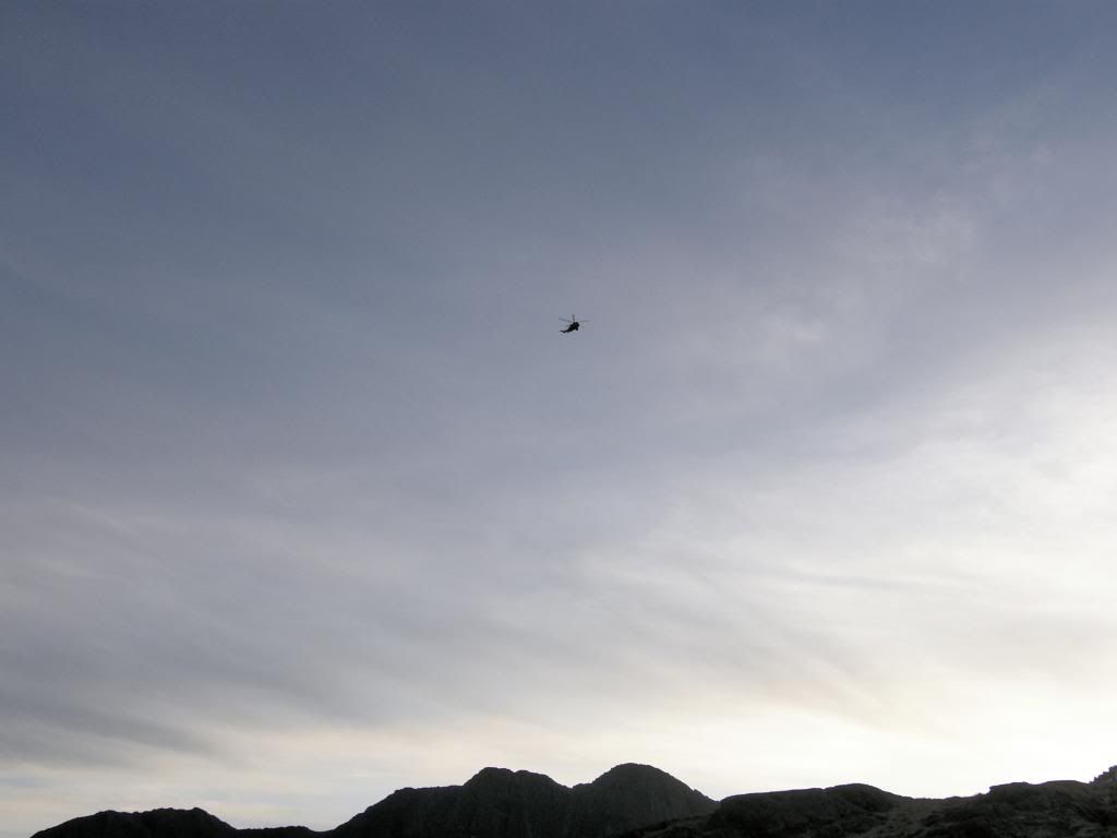
The PYG track is fairly easy terrain, but there are one or two sections that require some care, and as the path contours around the slopes there are some small streams that cross the path which is quite rocky in places. Obviously these were icy, but I had plenty of time to stop and stare. I saw a rescue helicopter flying back towards its base, and took a picture – but as always it just looks like an angry wasp. The views towards the west were superb in the setting sun, with Grib Goch up to my left still glowing brightly. I passed by the signpost that leads you up to the ridge and had a glance upwards before walking on over the col ahead of me.
A friendly wasp
L to R: Grib Goch,
The YHA at Pen-Y-Pass far below
The route now dropped steeply down the valley side as Pen-Y-Pass comes back into view, and I had views to the north up the Llanberis path with a very misty coast in the distance. I spent the last two miles chatting away with a cyclist who thought he would try walking for a change. So he had walked up



No comments:
Post a Comment