A Carneddau Traverse
2nd April 2009.
Map: Landranger 115
Weather: Cloud around the peaks which burnt off leaving a perfect sunny day.
From the end of Llyn Ogwen up to the tarn, and a scramble up to Pen yr Ole Wen. Then a long ridge walk taking in the peaks of Carnedd Fach, Dafydd, Llwelyn, Foel Grach, Garnedd Uchaf, and Foel Fras. Then down to Llwytmor Bach and a steep scree slope to
Copyright OS-Click on map to enlarge, then hit the back button to return to blog
Today’s walk has to rank highly in the level of enjoyment due to the weather we had and the initial views from Pen yr Ole Wen. There were five of us walking today – Mike, Graham, Kenny, Paul and last but not least (I still have some weight to lose) me. The weather forecast all week was for bright sunshine and the Metcheck website showed 4 sparkling suns all in a row – a very unusual sight for Snowdonia. The bonus for bright sunshine at this time of year is the clarity of light; the ground is still cool enough not to develop that heat haze that restricts the views in the summer months. This walk was a linear route that took in 6 of the 15 Welsh 3000ft summits, but although that sounds a daunting task, most of the hard work is done walking up to the first peak. We parked a car at the end point close to Aber Falls, just south of the A55 North Wales and then all squeezed into Paul’s Mondeo – no chance of squeezing 5 into a Ford Ka – inherited from my daughter (thanks, but not really).
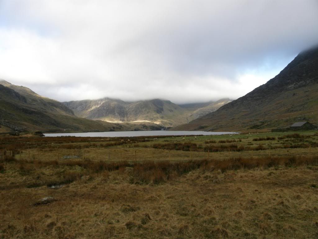
At the start of the walk looking down Llyn Ogwen
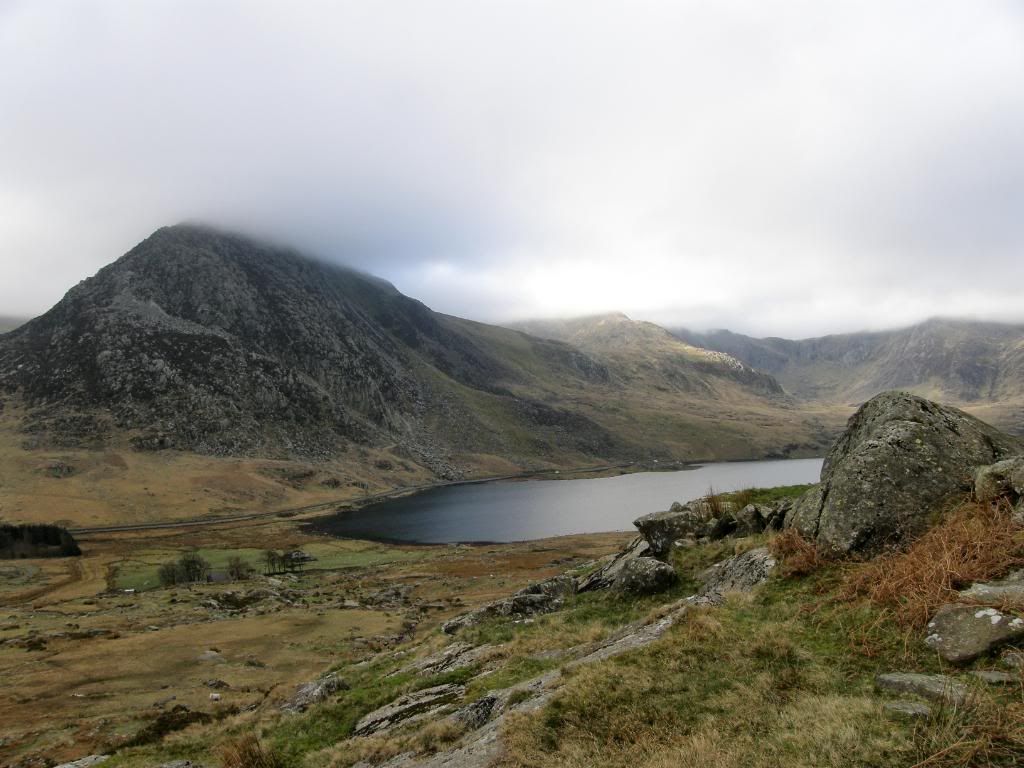
Tryfan across the valley, with cloud above the peaks
We drove down to Llyn Ogwen and had the choice of ascents from here. One option was to go directly up from Idwal Cottage in a straight line to the summit of Pen yr Ole Wen, and the other option was to start from the other end of the lake opposite Tryfan. We chose the later as it had a little scramble up, which broke a long slog to the top. We felt a little disappointment at first due to the clouds topping the peaks and despite the weather forecast we weren’t sure if it would clear later on. I had a good feed of pasta last night and it works well for me, and I felt fine going up the initial walk up to the tarn at Ffynnon Lloer – how do you pronounce that? The slope is steep enough and we stopped frequently to look back over to Tryfan and check out the weather.
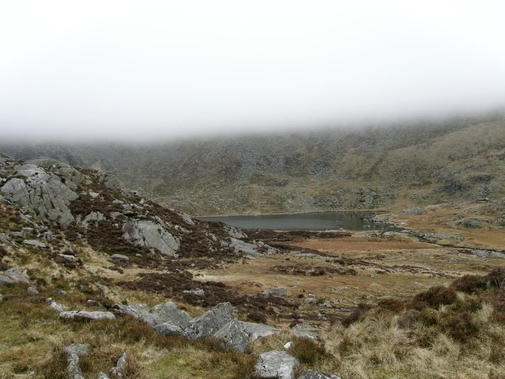
Ffynnon Lloer - we didn't see it from above due to cloud cover
There was a helicopter buzzing around the slopes of Tryfan, and we thought that it must have been on a training run rather than a rescue mission – we were wrong though as I have just read this on the BBC news site – “A man's body has been found on a mountain in Snowdonia following a search for a missing walker. The Ogwen Valley Mountain Rescue Team, rescue dogs and police were involved in the search of Tryfan on Thursday. They were alerted after a 25-year-old man from Broughton, Flintshire was reported missing. The body was found just before 1600 BST by a police helicopter and taken to Ysbyty Gwynedd in
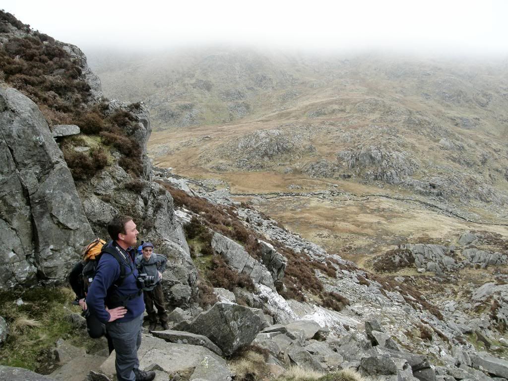
Halfway up the scramble
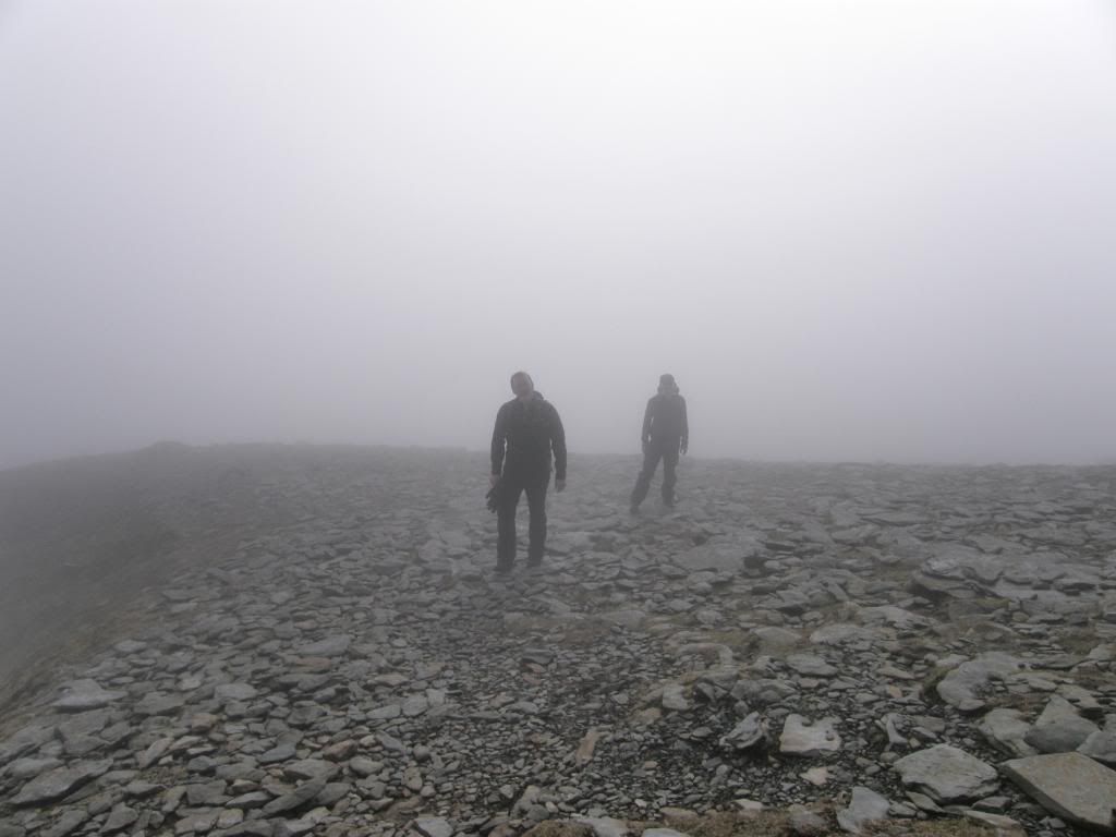
Mike and Paul appearing ghostly out of the mist
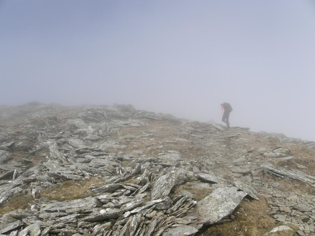
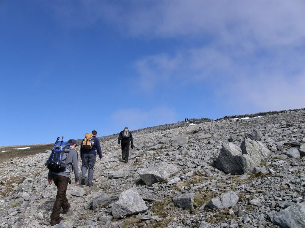
Kenny pressing on towards the summit of Pen yr Ole Wen
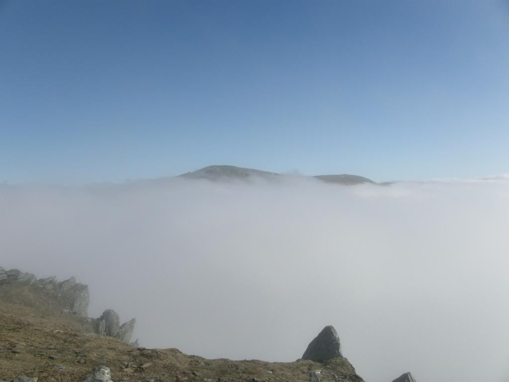
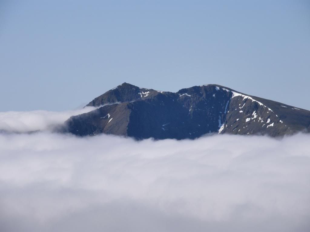
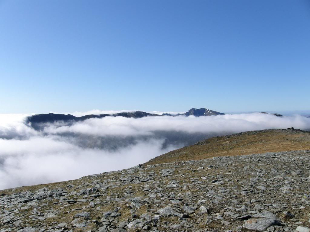
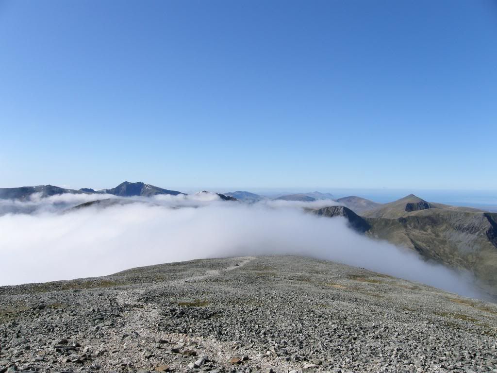
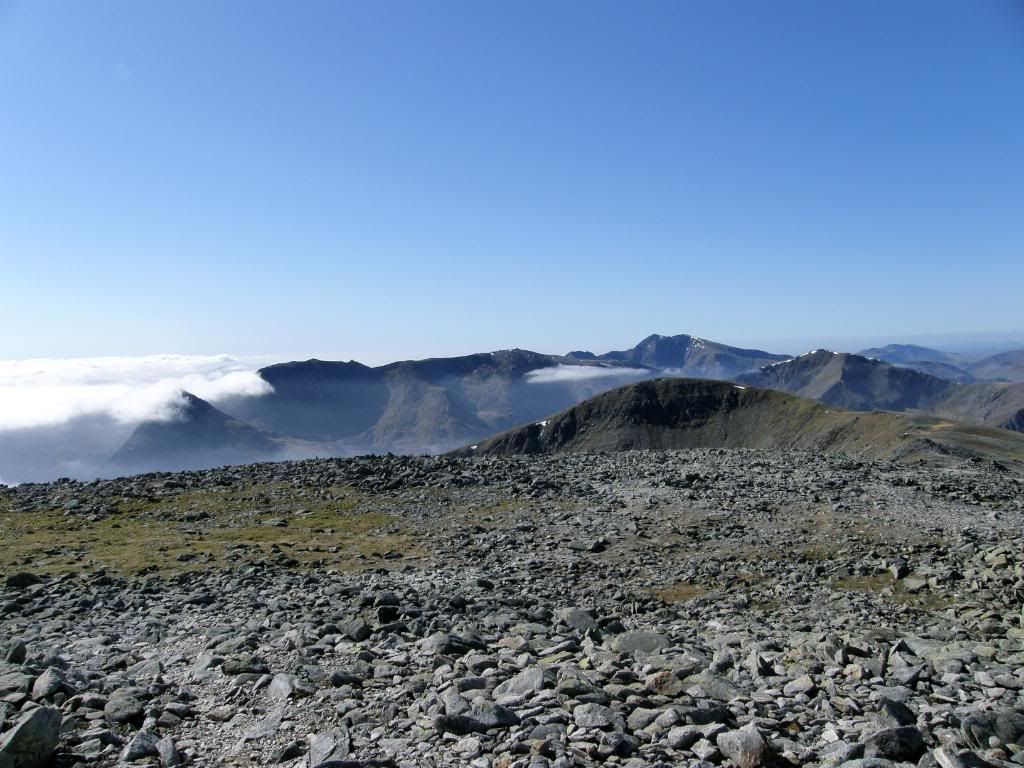
Spurred on by this we walked on towards the summit and the path becomes easier to walk on the higher we got. Then all of a sudden there we were, just below the summit in bright sunshine, above the clouds with a great vista opening up before our eyes. It’s a very special feeling looking down on the clouds and we all spent time marveling at the views before us. All around us the big peaks were peeking above the cloud tops and I think we could almost see all of the 3000 footers in one go – although obviously we couldn’t, it just felt that way.
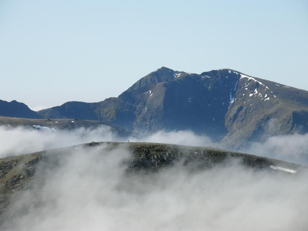
Carnedd's Daffyd and Llewelyn
Snowdon in the distance - what a view
The Glyder's across the valley
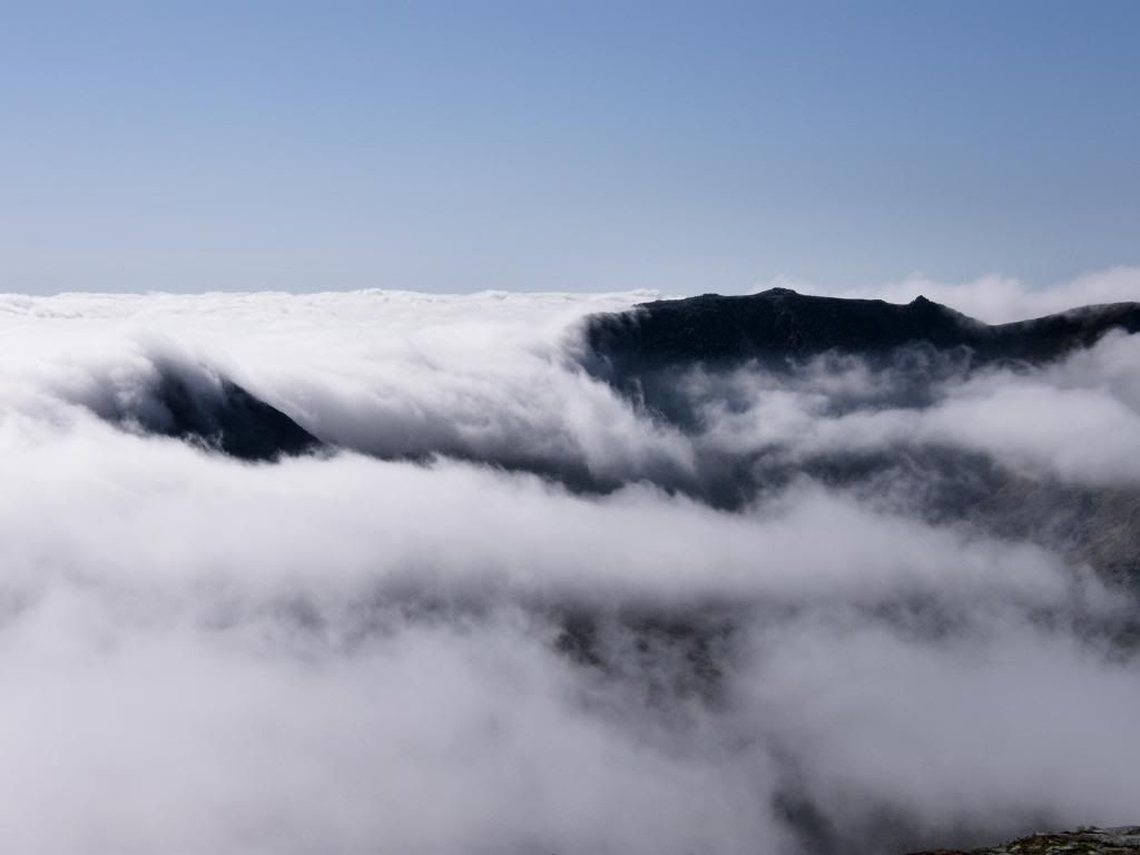
Cloud pouring between Tryfan and Bristly Ridge
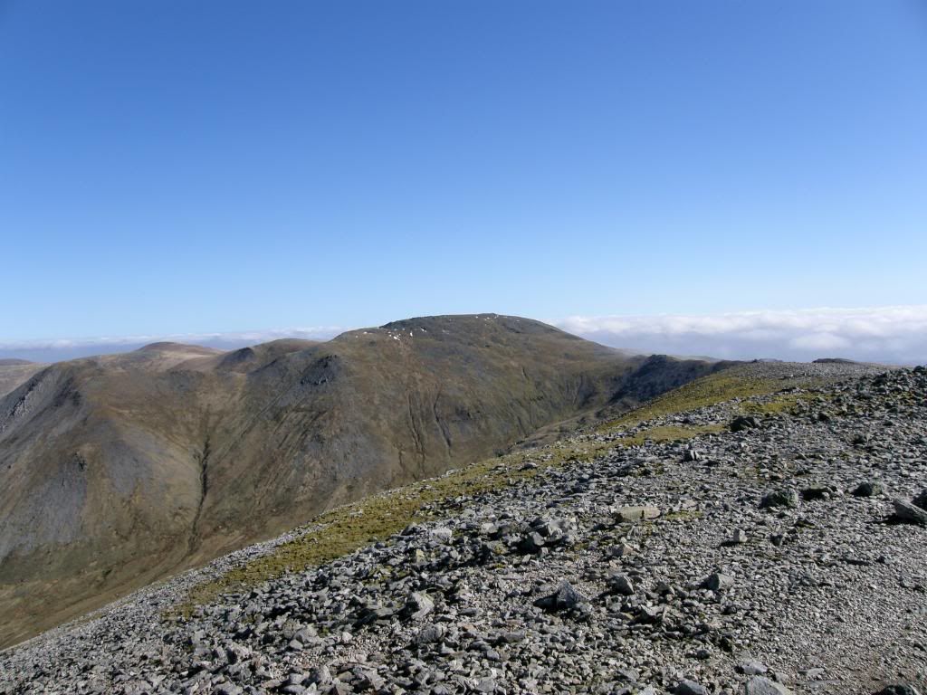
After a good long break and a bite to eat we set off on the traverse of the Carneddau range of hills, happy in the knowledge that most of the hard work had been done in the first mile or so. The summits here are strewn with boulders, and are thought to have been sites for ancient burial
The boys starting up Carnedd Dafydd
Tryfan across the valley with Adam or Eve clearly in view
the cloud had started to burn off now - vast views all around
someone on Pen yr Ole Wen enjoying the same views as us
everything in sight now including Tryfan on the left
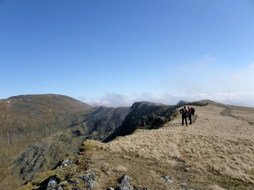
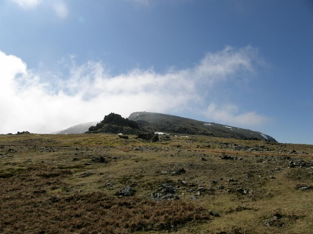
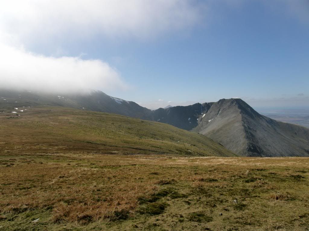
As we walked along the edge of Cefn Ysgolion the view up the Llafar valley to the north of us was stunning, with the huge drops over Ysgolion Duon at the head of the valley. There was a fresh growth of green moss and grass, and blue, blue skies – the only thing that was missing were the Skylarks singing. There were quite a few people up here today – individually and in groups and everyone had a happy look and a hello as we passed – apart from one solo walker who grudgingly replied to our greeting – miserable git. The approach to the slopes of Carnedd Llewelyn is along a ridge called Bwlch Cyfryw Drum, which is very safe to walk along and has great views either side.
the route along to Carnedd Llewelyn
Paul and Kenny discuss the merits of fruit pastilles - Carnedd Llewelyn is on the left of picture
the narrowest part of the ridge called Bwlch Cyfryw Drum
looking back to Carnedd Daffyd with the Afon Llafor far below
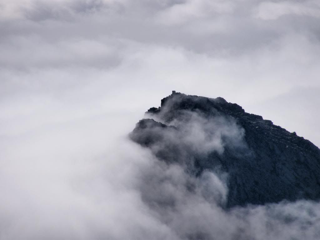
the view back up to a cloud covered Carnedd Daffyd before starting up Llewelyn
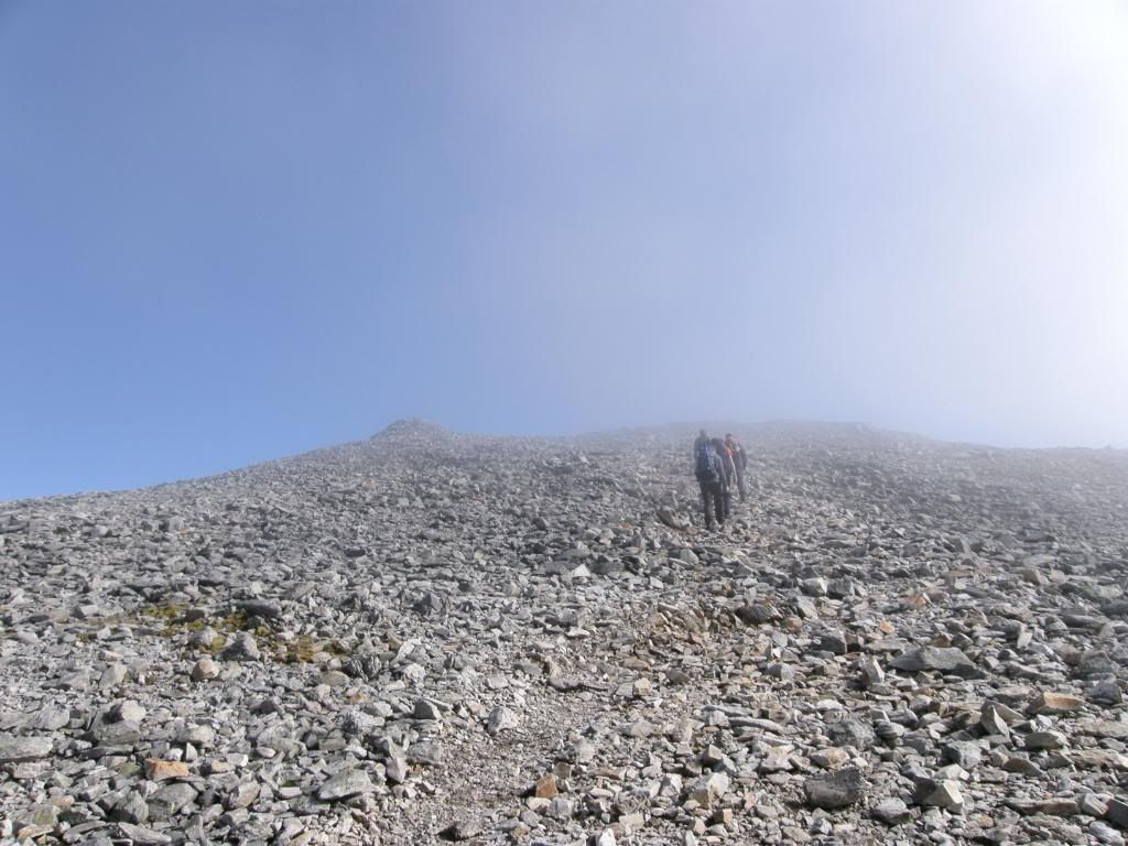
the scree path up to the summit
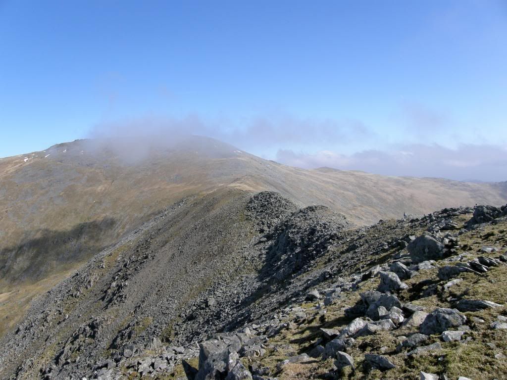
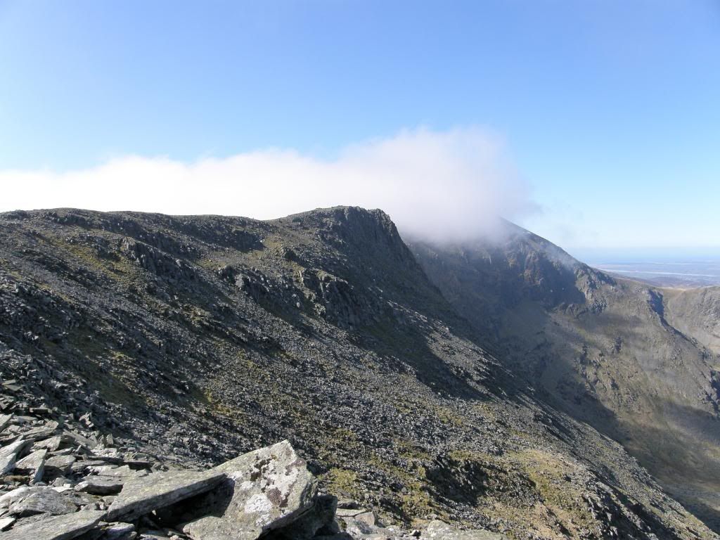
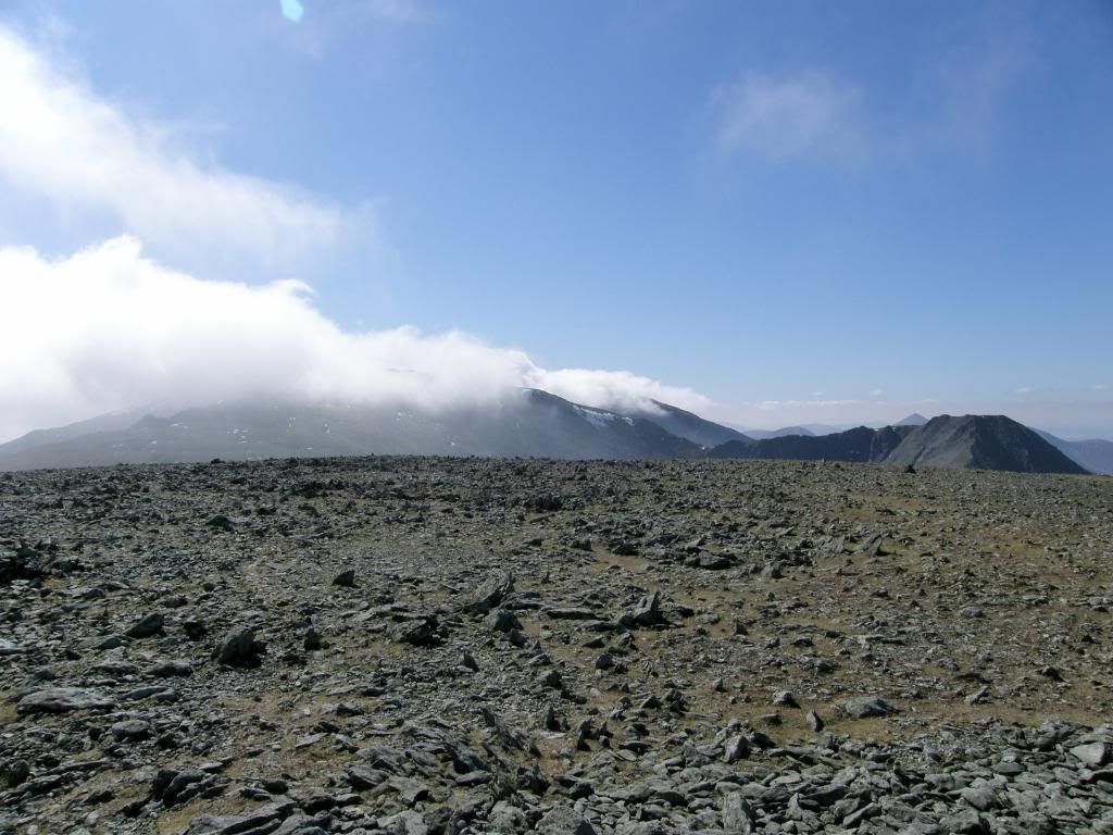
The second climb of the day was up the scree slope to the summit of Carnedd Llewelyn – the third highest peak of the Welsh 3000’s (here is the list - http://en.wikipedia.org/wiki/Welsh_3000s ). It only misses out by 1m, so maybe a concerted effort in piling up some stones into a large cairn would promote it to 2nd place? Kenny ploughed on to the top as he didn’t like to stop or he got cold, and I continued to take regular camera breaks. The path winds its way up the slopes and soon enough we were on the summit along with a couple of outward bound courses and their vociferous leaders. The youngsters appeared to be enjoying themselves; even though Graham’s camera battery had run flat, and Mike was secretly worrying if he had an £80 fine for leaving his car at Junction 14 services (I didn’t know it was that much – next time we will park elsewhere). The summit shelter made for a good spot to take lunch even though the top was shrouded in mist and we couldn’t see very far. It was a bit strange for me at times walking in the mist as I had to wear gloves to keep my fingers warm, but I was Ok in a short sleeved top and shorts – I donned a fleece at the top of Carnedd Llewelyn though as the temperature did dip when in the clouds. There was still a snow cornice hanging around the north east face, and this did provide some ammunition to pelt the schoolteachers, but our aim wasn’t very good! No, not really, I made that bit up, but the kids were doing what kids do – Paul attempted to bombard Kenny later on but his aim could have been better. We all decided that a trip out to Yr Elen to take in a seventh peak wasn’t worth the trouble as we had good enough views from our route, and Mike and I had done it a month before. But as we continued along the ridge the drops to the north east side of Yr Elen looked spectacularly steep and precarious – but that path is ok as long as you stay away from the edge. Once we had descended down off Carnedd Llewelyn the way becomes much easier and the walking simple along a good path to Foel Grach and then onwards to Garnedd Uchaf – insultingly named as a pile of stones on Memory map.
looking back up to Carnedd Llewelyn
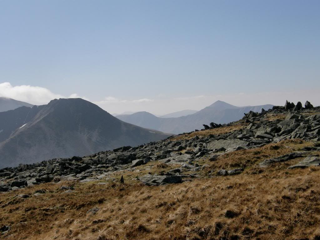
the view over to Yr Elen - Elidir Fawr peaking above the horizon
on the summit of Foel Grach
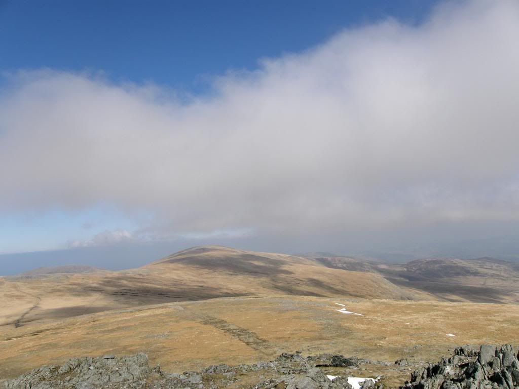
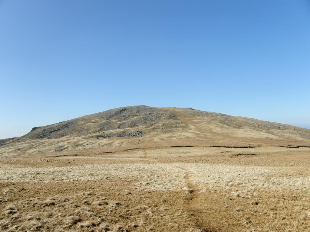
and looking ahead to our route down to Garnedd Uchaf, with Foel Fras beyond
not a bad view from the pile of stones - Yr Elen, and Elidir Fawr is the pointy one
the last peak of the day with the only trig point - Foel-fras
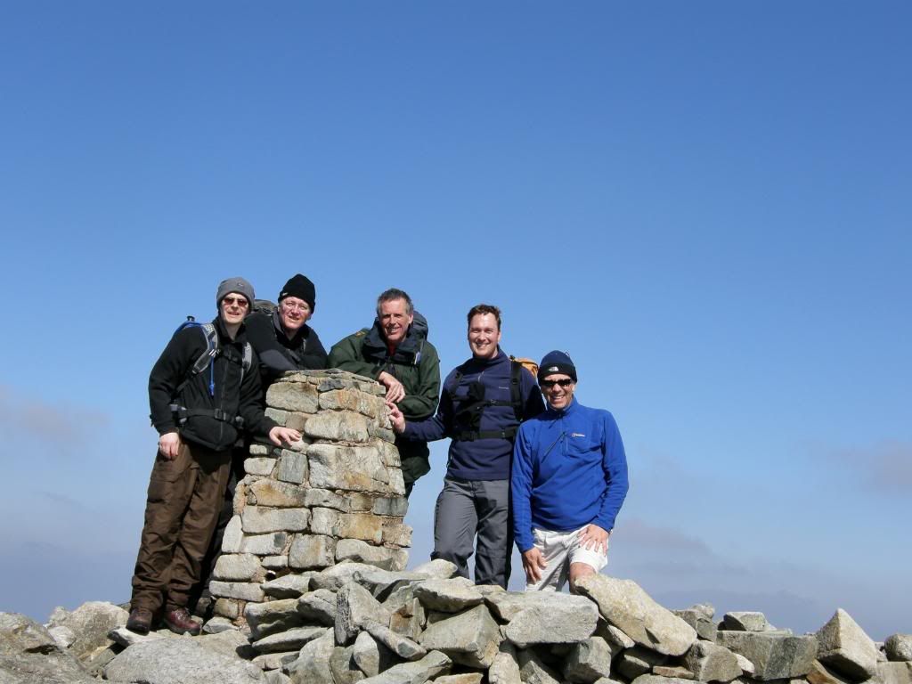
at the trig point - I've done so much walking my legs are worn out - I used to be taller - honestly
Once again we stopped for some refreshments and to look back along the route we had taken, with the high hills receding into the distance, sitting quite comfortably on the pile of stones. Mike and Kenny looked at the explorer map and plotted our route ahead, and I gazed lovingly to my new Satmap GPS knowing that for once I had pressed all the right buttons – now that doesn’t happen very often (the batteries did run out half way around and Paul told me to get a Lithium Polymer battery for prolonged active life). We proceeded in a disorderly manner down the slopes towards Foel Fras our last peak of the day, and the only one that had a trig point with a carefully positioned wall that provided welcome shelter and a sunny spot to have another break. We had plenty today as you will see the stats later on. The landscape at this end of the traverse is much more gentle with rounded hills that gradually drop down to the
the route over to Llwytmor
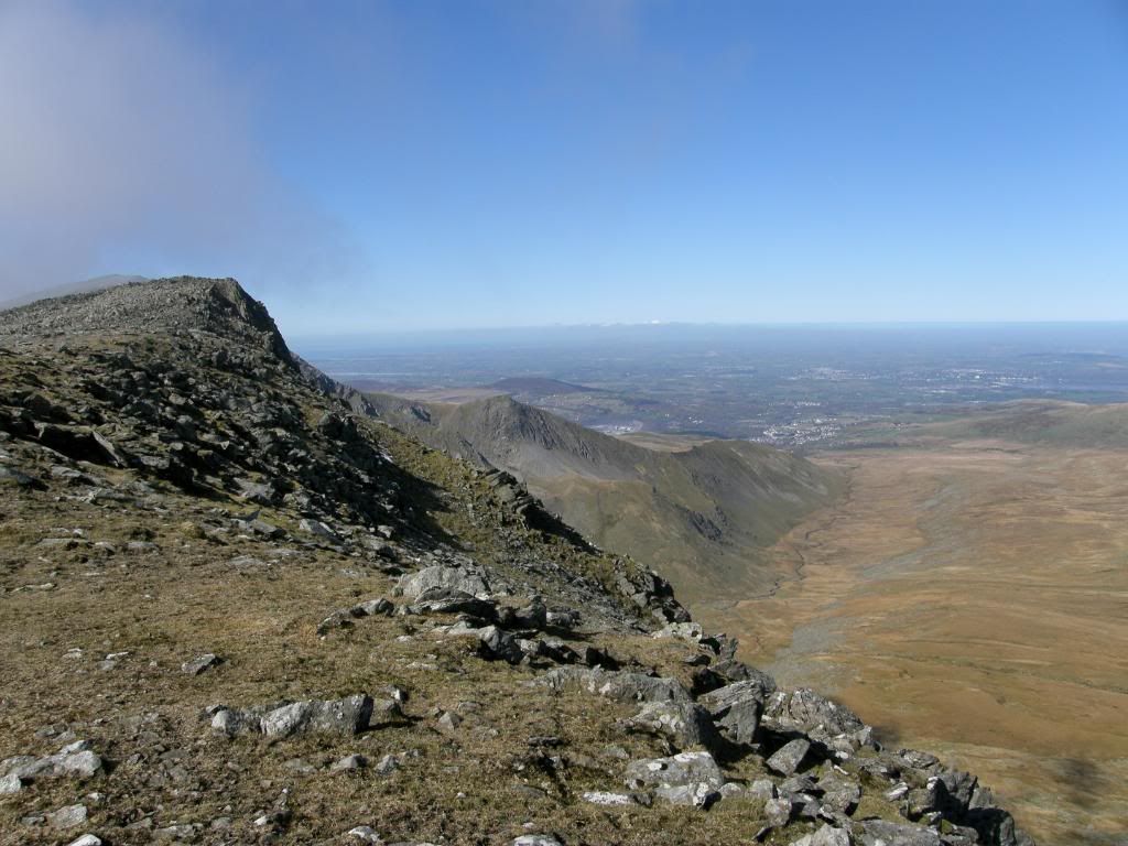
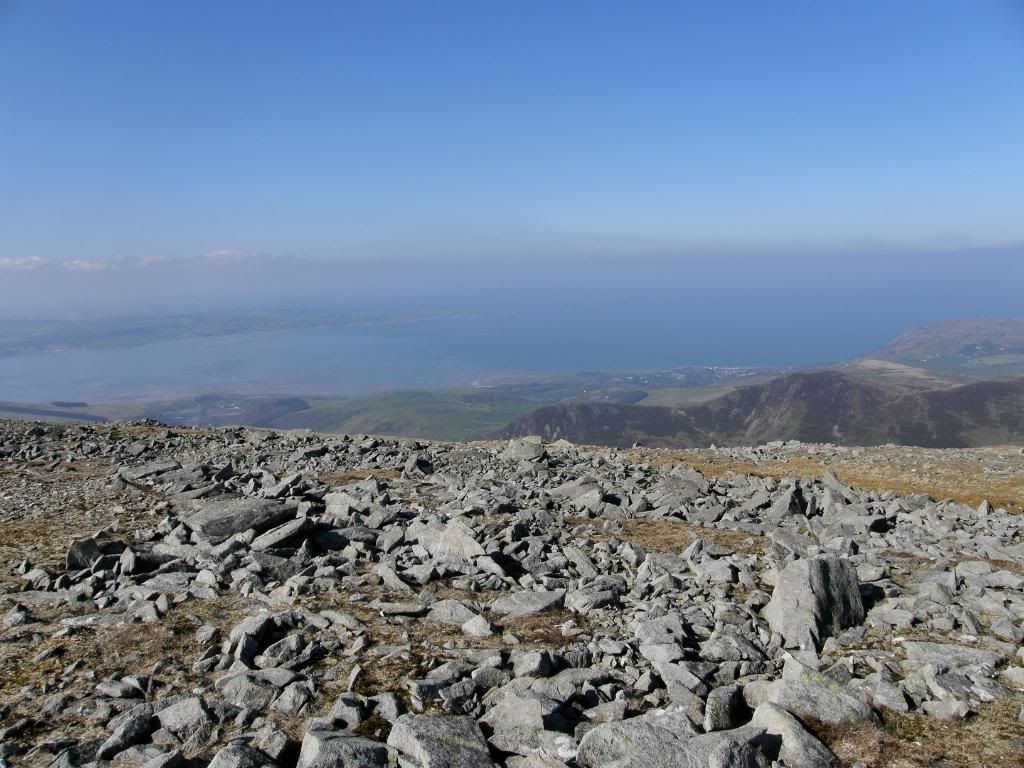
looking down from Llwytmor, with Anglesea and Puffin Island behind
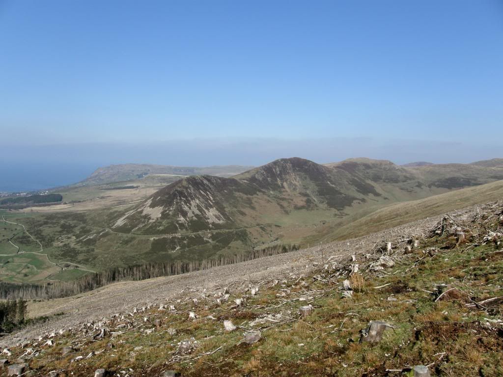
recent harvesting, and Foel Ganol across the valley
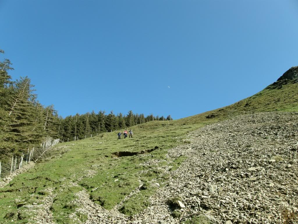
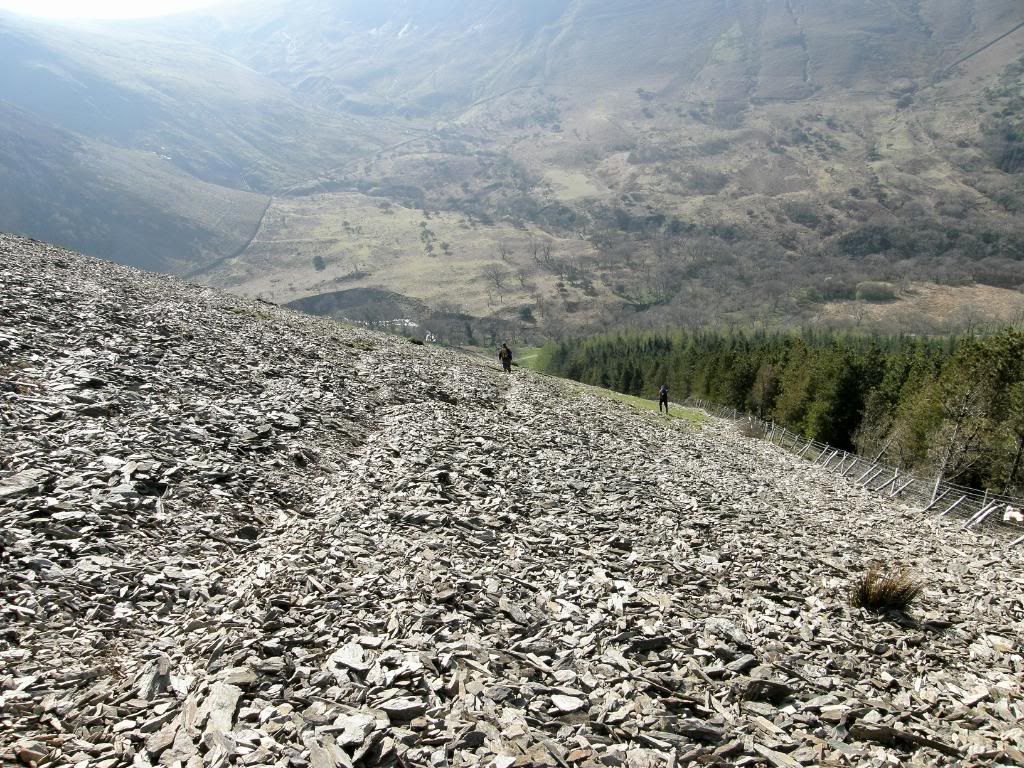
There had been recent harvesting of the plantation trees and what a mess it leaves – just a grey landscape that will take some time to repair. When we reached Llwytmor Bach we passed by a small chamber that would provide good shelter in harsh weather. I don’t know if this is an old cairn or newer construction but it was interesting. We followed a stone wall down to the end of the ridge and then veered across to our right as the ground before us looked as if it dropped away steeply – it did at the top of the crags of Marian Rhaeadr-Fawr. We crossed over to the right and followed the edge of the old plantation down a very steep slope – probably 60degrees or so, and it was so tough on the old knees – for some of us anyway.
a very steep slope down the side of the plantation, the moon says hello, and the tree leans in on the left to get into the picture
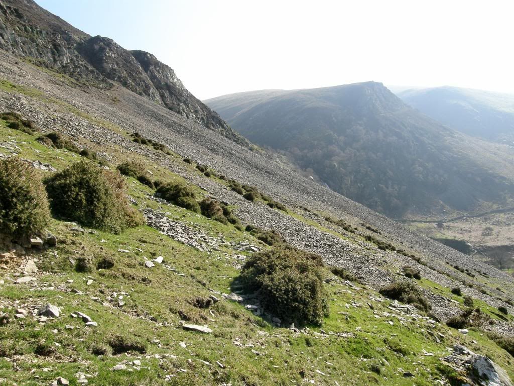
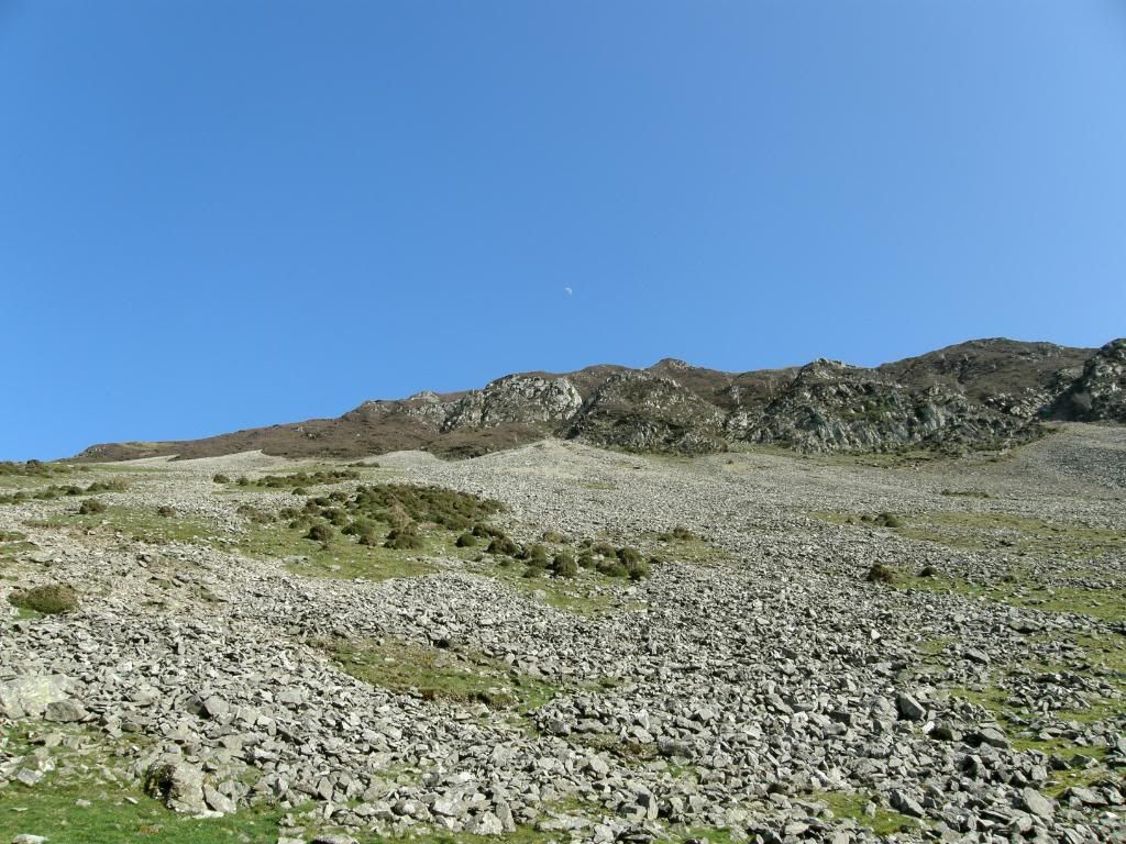
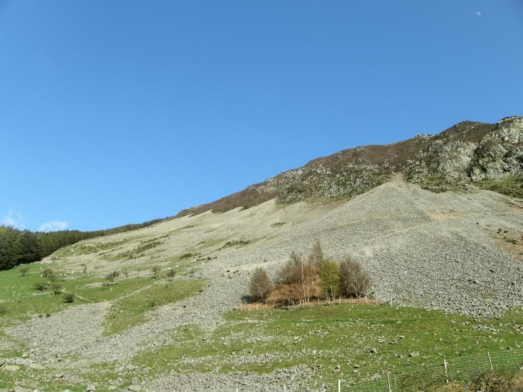
the massive scree slope down below Marian Rhaeadr-Fawr
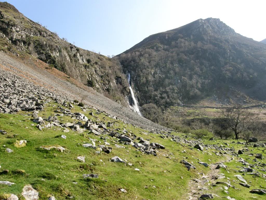
Aber Falls comes into view
even the moon came out for the day to sunbathe
Eventually the grassy slope gave way to a scree slope, that was still steep but surprisingly easier to walk down. At this point our party became a bit ragged, as I continued to snap away, with the others disappearing below Mike and myself. Our reward was to watch a pair of Peregrine Falcons (I checked their shape and markings on the web – the photos weren’t too clear). The female was letting out a high pitched shriek which the others heard but they didn’t see, and we watched for a little while as it circled overhead. As we got lower down the slope the top of the
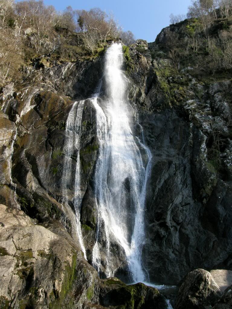
Aber Falls
it was cool close by the falls
a beautiful vista looking back to Marian Rhaeadr-Fawr crags
and a last look back to end the day - brilliant
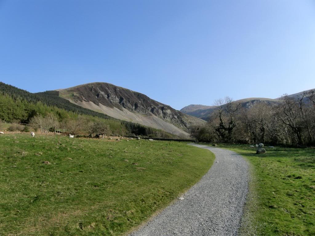
After a good pause all that was left for us to do was to walk back down the well made paths to the car park and then drive back to Llyn Ogwen to pick up the other car. There is a weather station and exhibition on the way down, but the only thing I paused for was a few more pictures. Once we were in the car (only two at a time as the boot doesn’t work) I dropped Graham and Kenny at the village pub that wasn’t a village pub, then set off with Mike and Paul to pick up his car. We didn’t get far before we hit traffic problems – the road to


No comments:
Post a Comment